Elevation map of Clackamas County, OR, USA
Location: United States > Oregon >
Longitude: -122.11889
Latitude: 45.2023855
Elevation: 790m / 2592feet
Barometric Pressure: 92KPa
Elevation Map:
Satellite Map:
Related Photos:
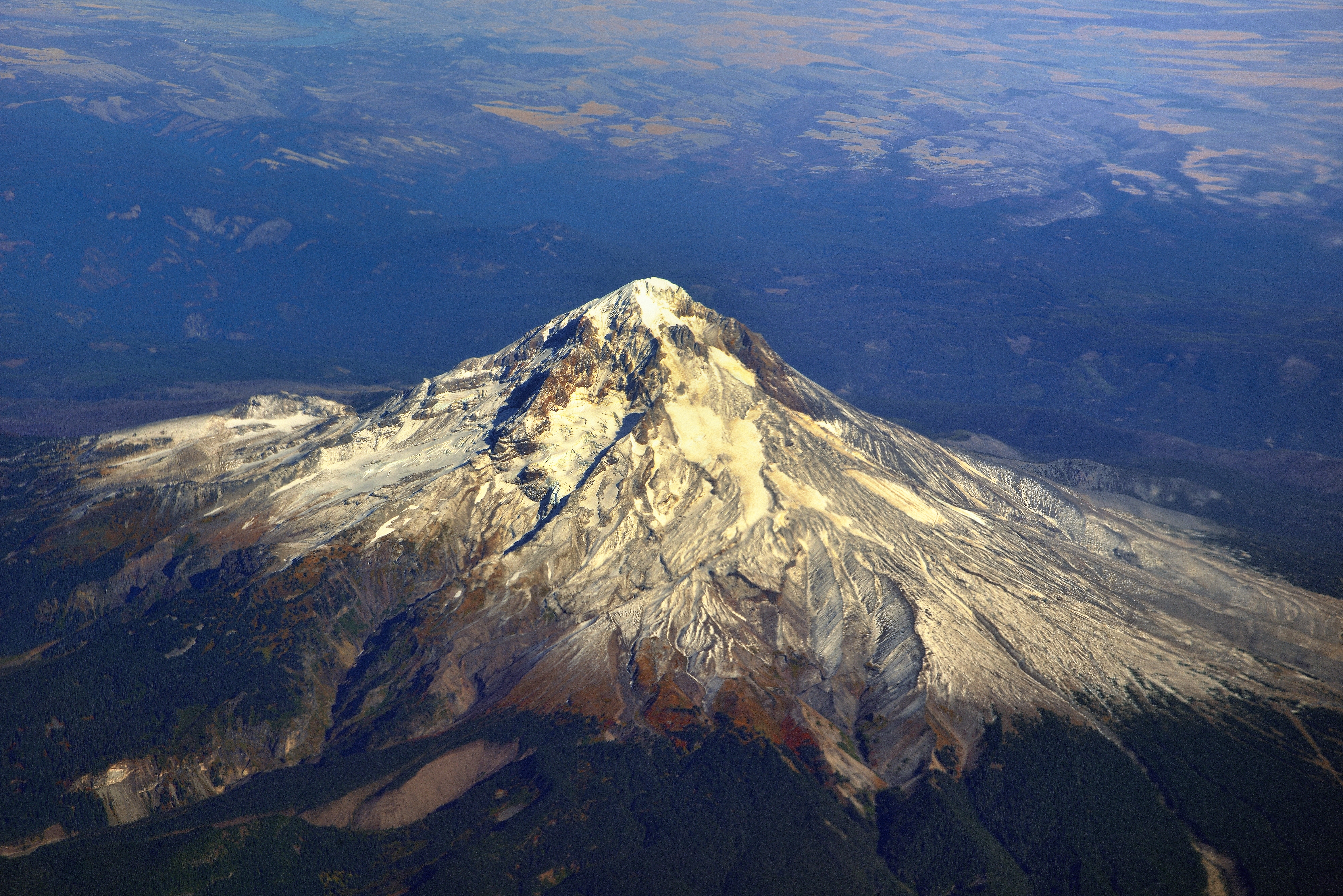
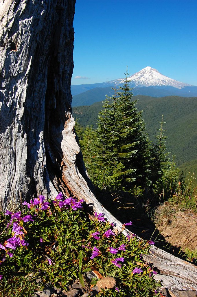
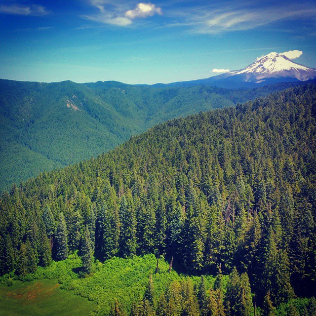
Mount Hood...Up Close!
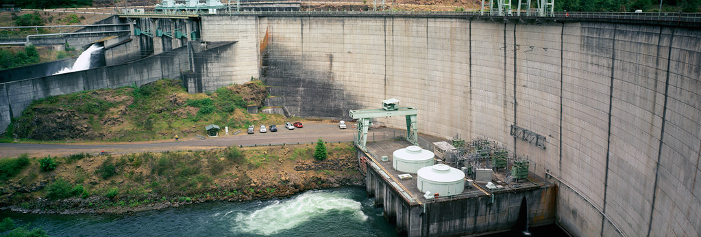
Relatively speaking, this is a small dam
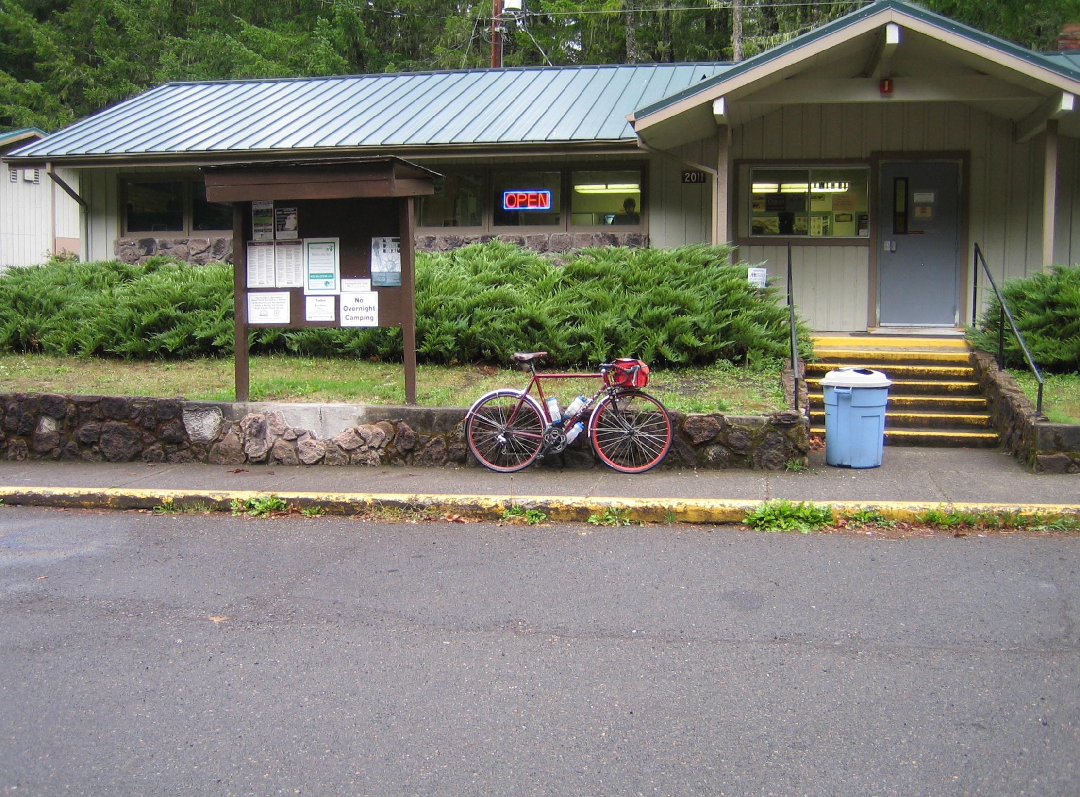
First glimpse

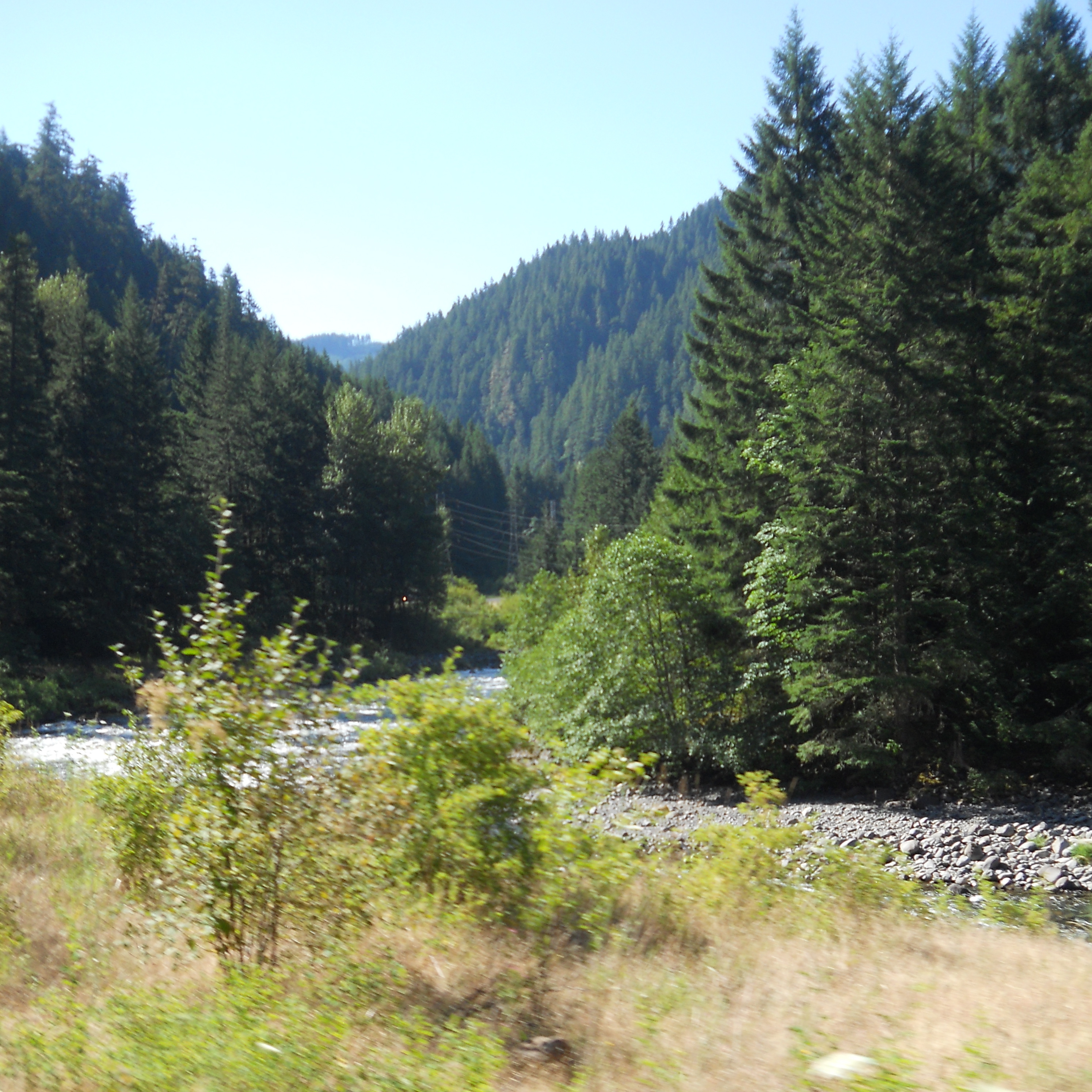
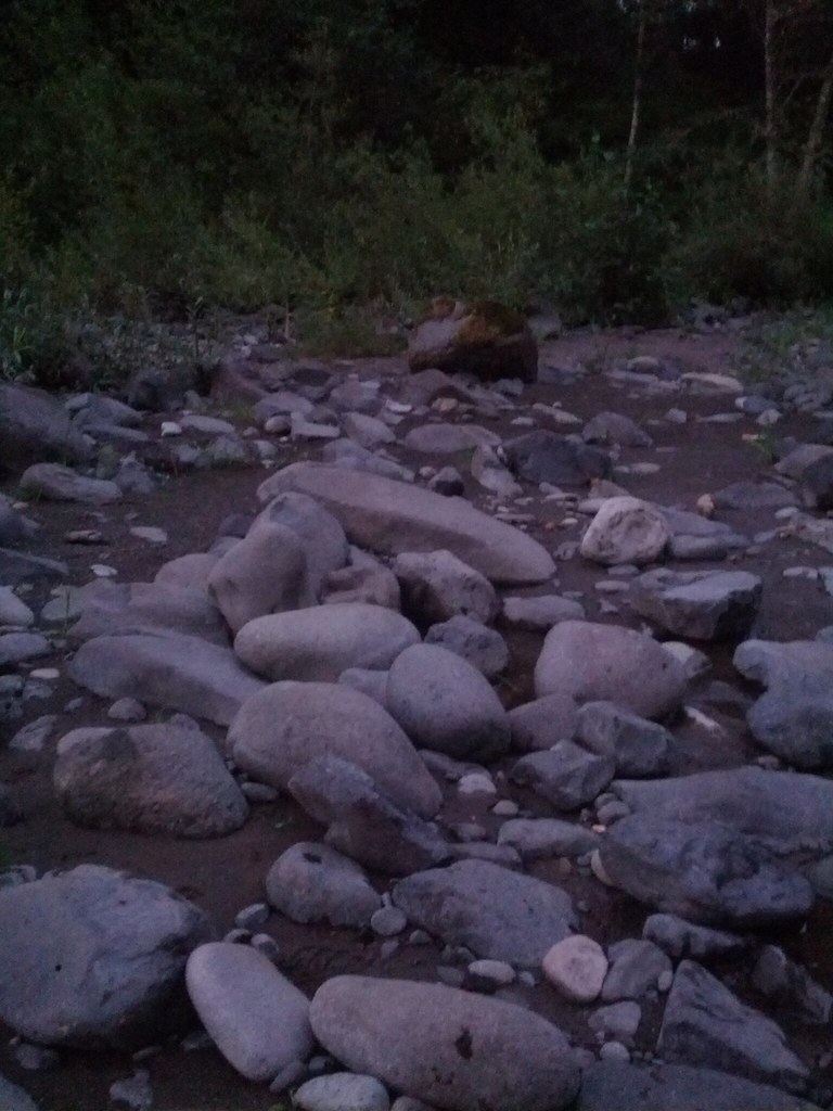
Thirty Seconds on Fish Creek
A panoramic view of the MLCM at Ripplebrook Guard Station

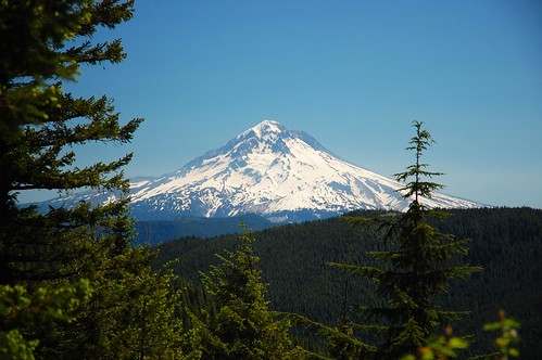
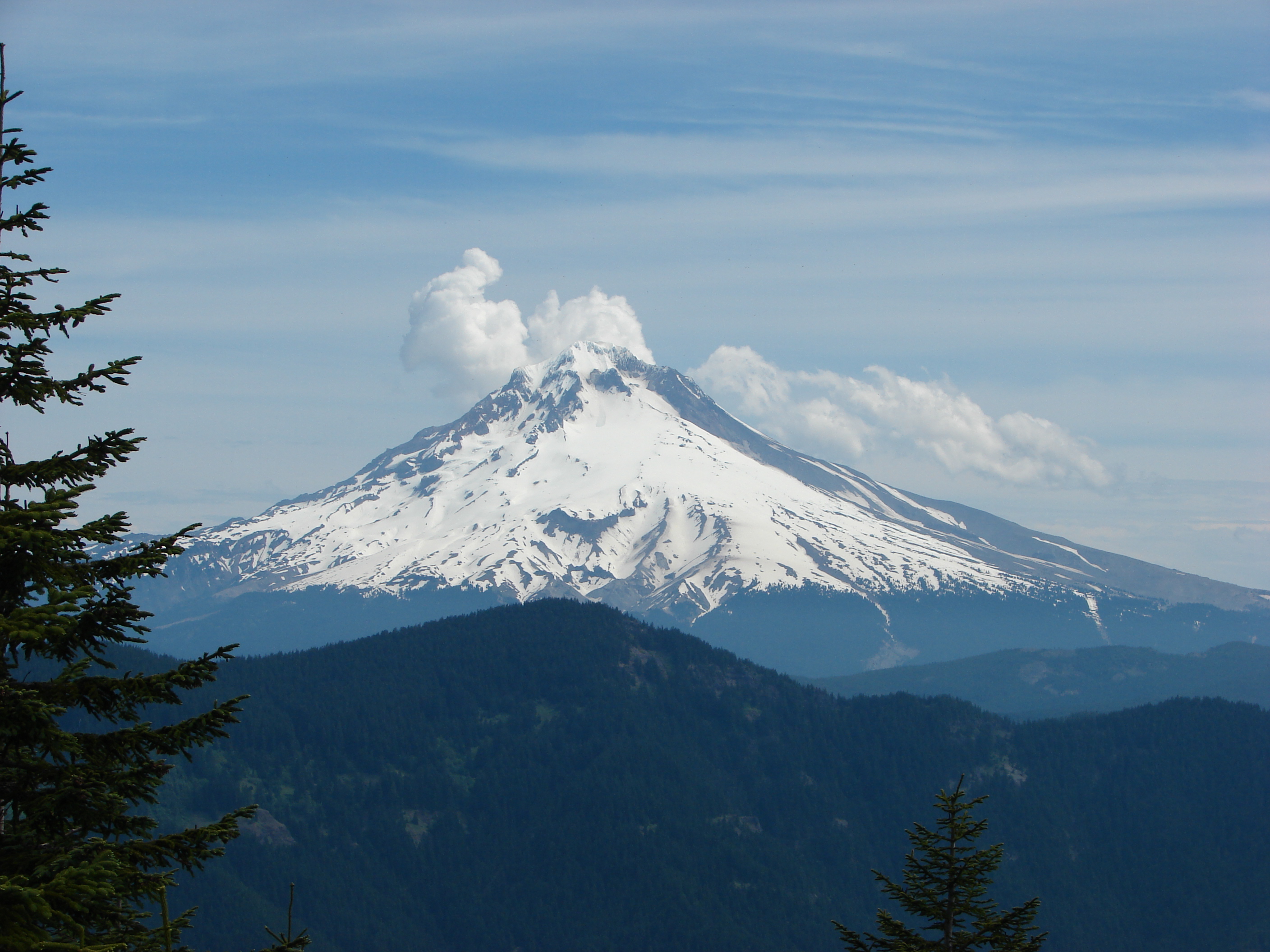
Our lovely mountain

Clackamas River Trail
Afternoon view

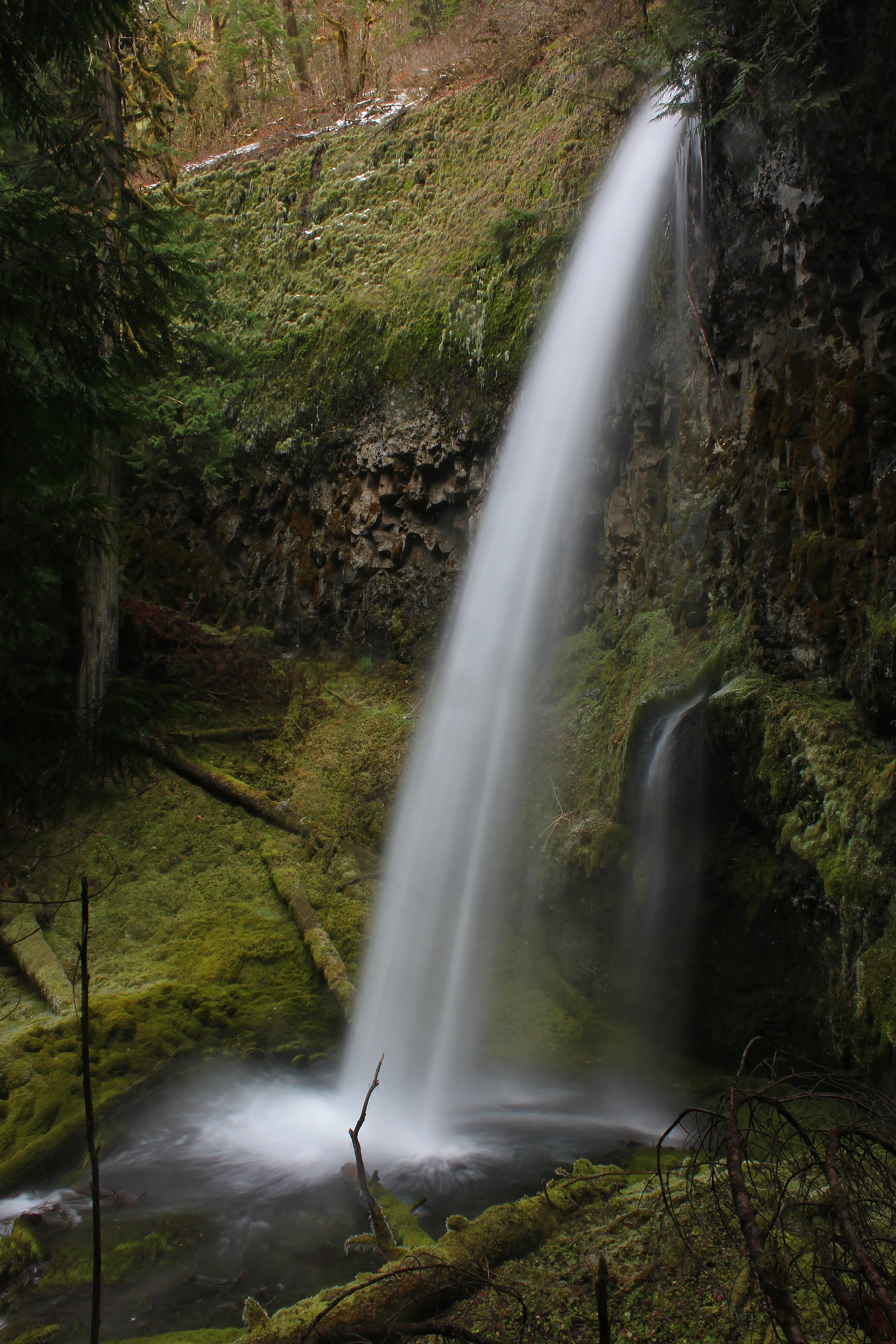
Hideaway Creek Falls

Beautiful blue skies
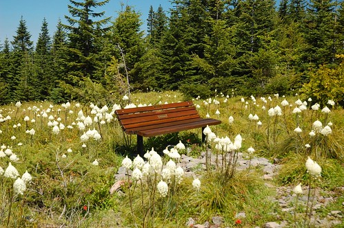
Bear grass bench

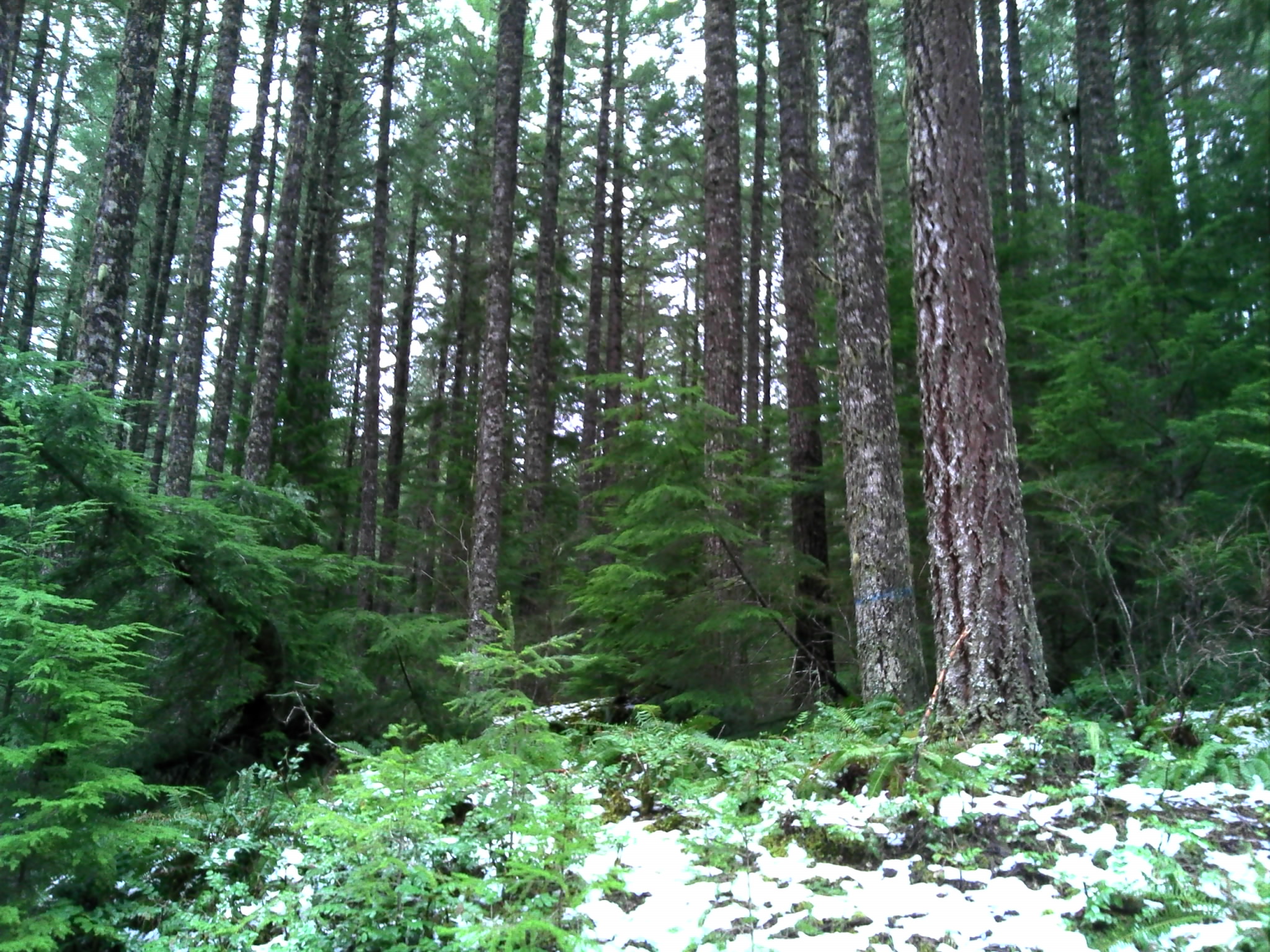
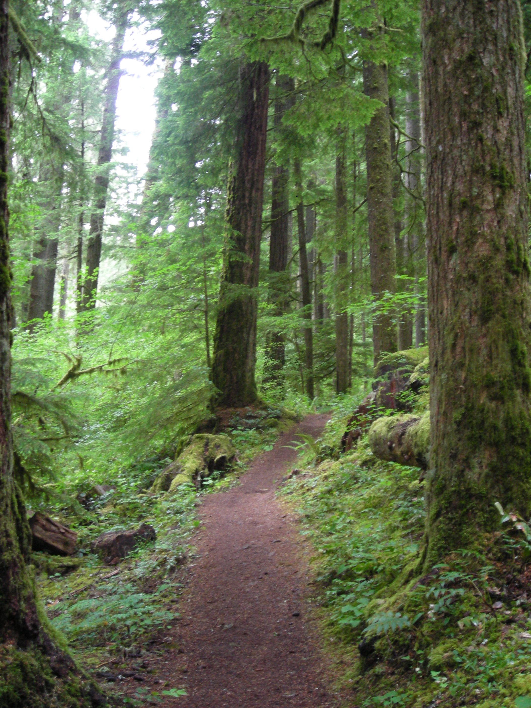
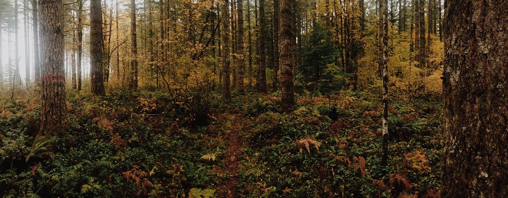
Forest along Fish Creek Trail
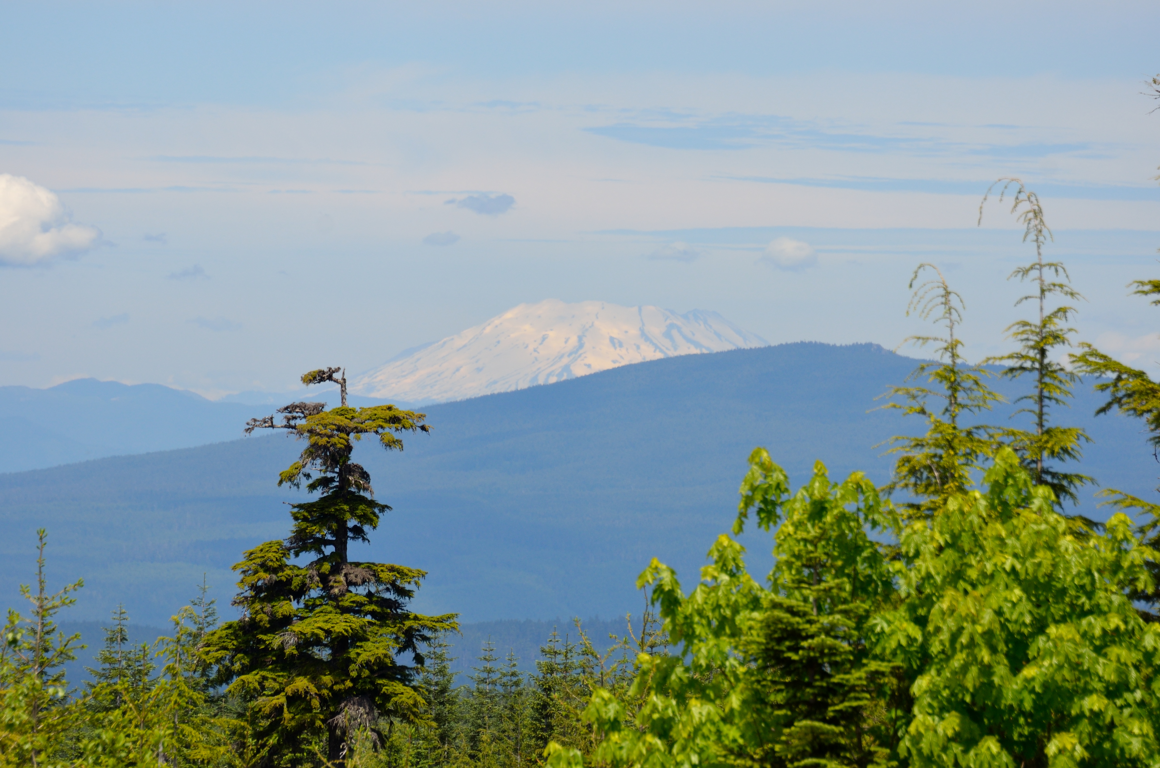
View of Mt. St. Helens from the Douglas Trailhead

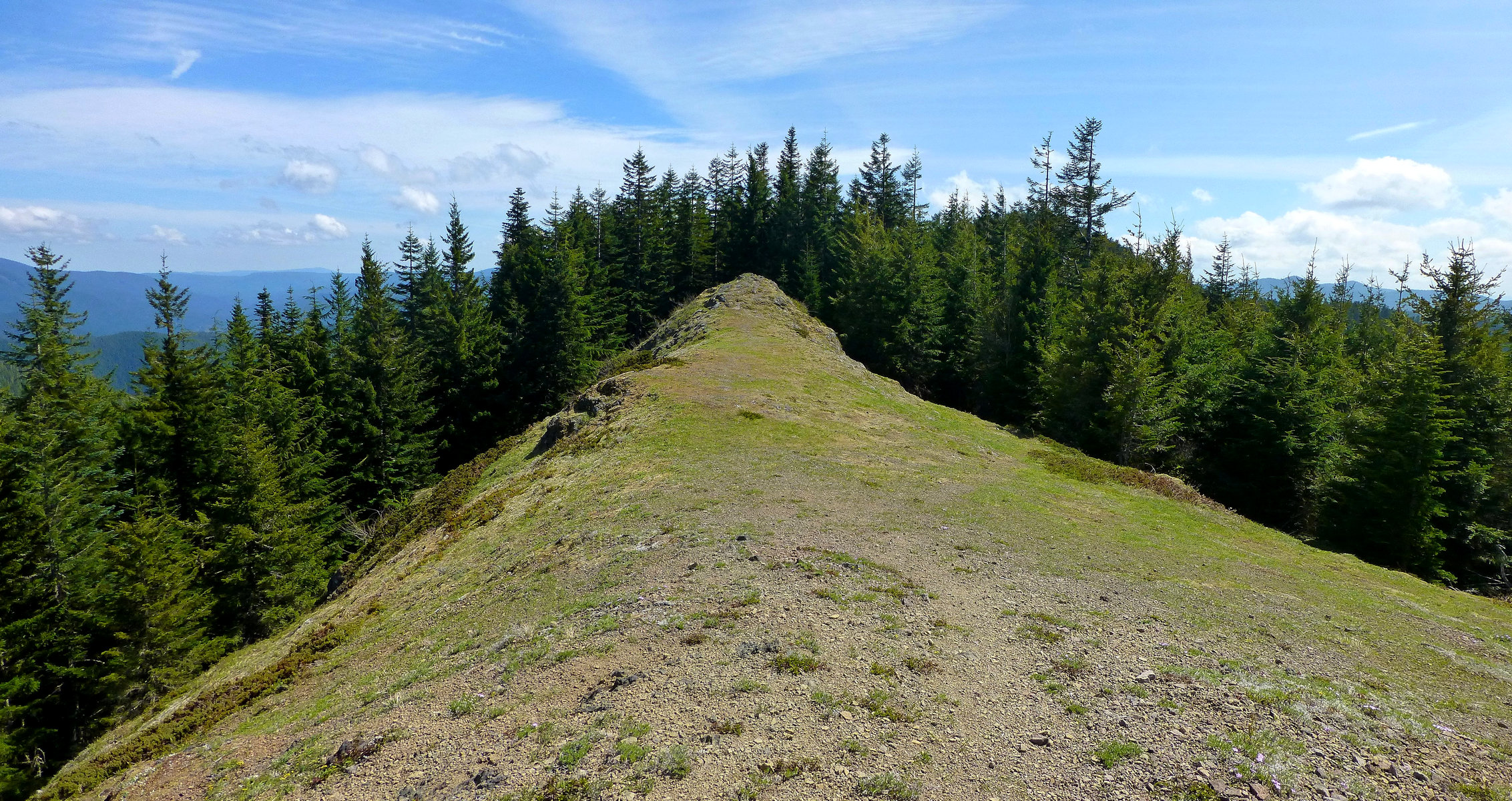
Views from the summit of Salmon Butte, site of an old fire lookout.
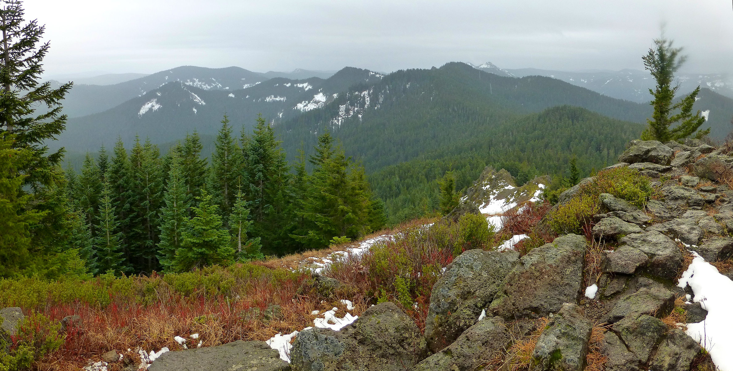
Views from the summit of Salmon Butte, site of an old fire lookout.
My lunchspot in a nice little saddle, with the best views, on Huckleberry Mountain.
View out over the Eagle Creek Valley

Indian Henry
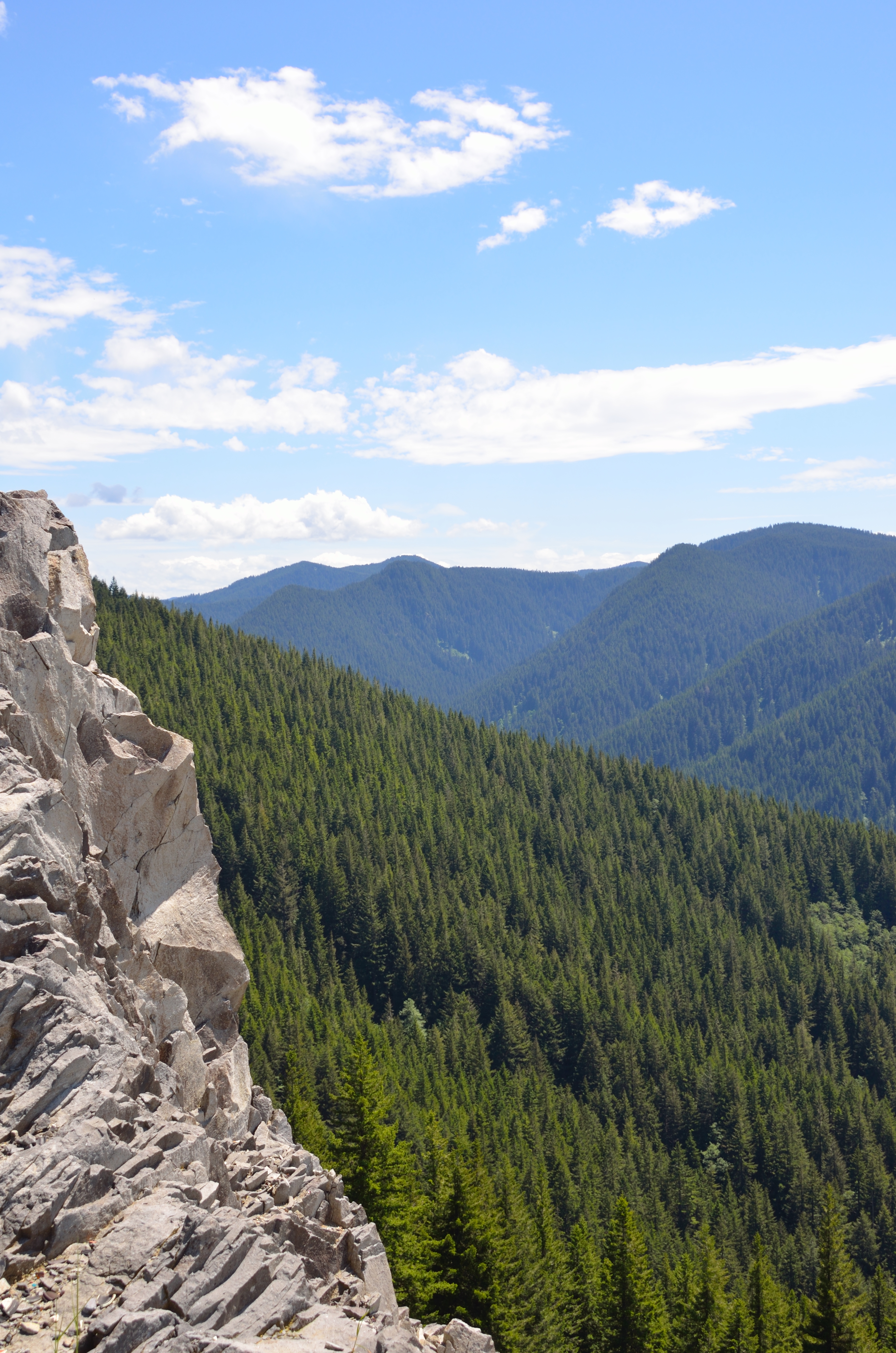
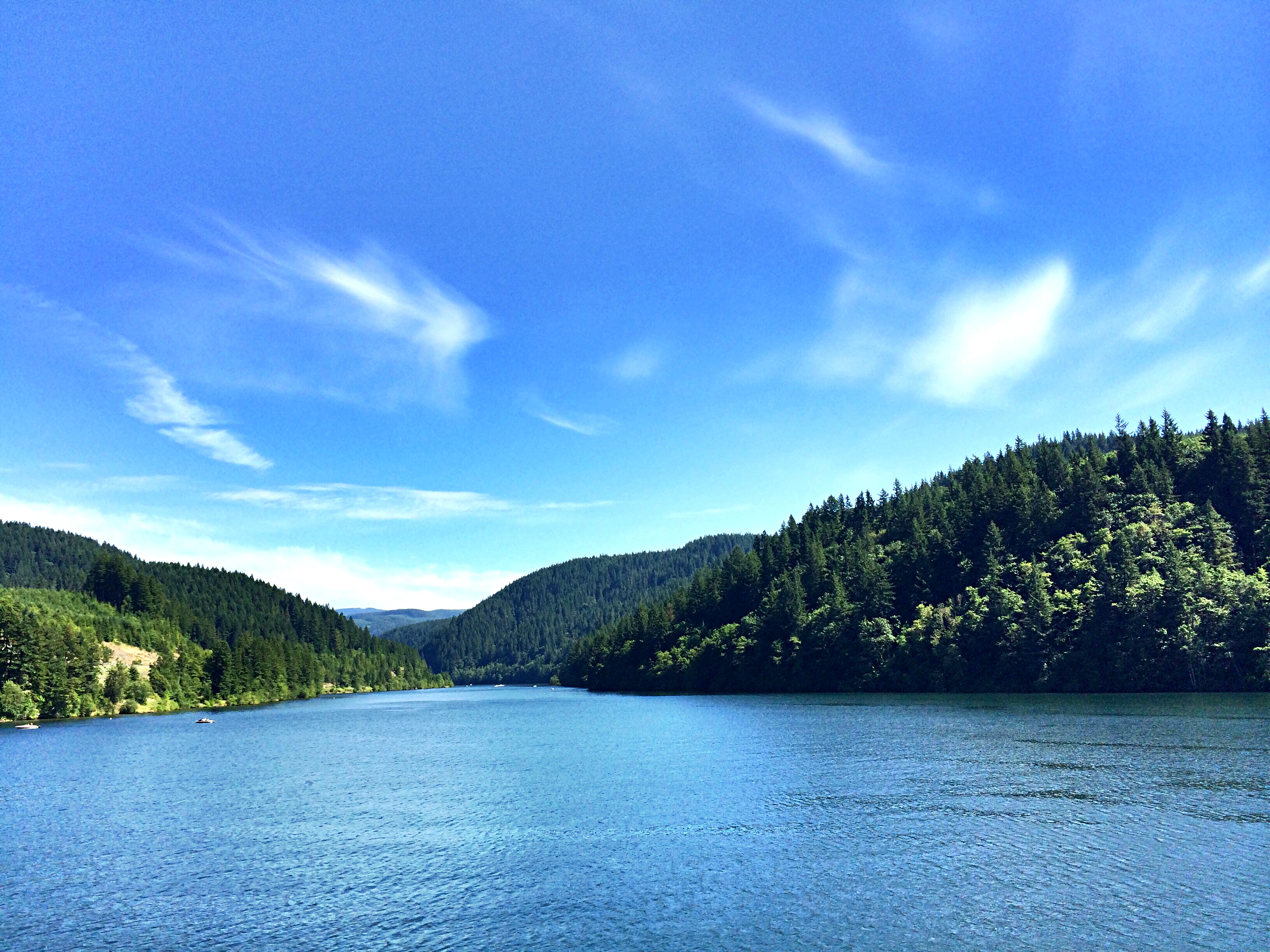
A scenic view along the Clackamas
The scary #hiking scramble over to a cliff outcropping near the summit was worth it, if only for the views of Mount Hood and the Eagle Creek Valley below.
Out past Estacada on the Clackamas.

St. Helens sunrise from above
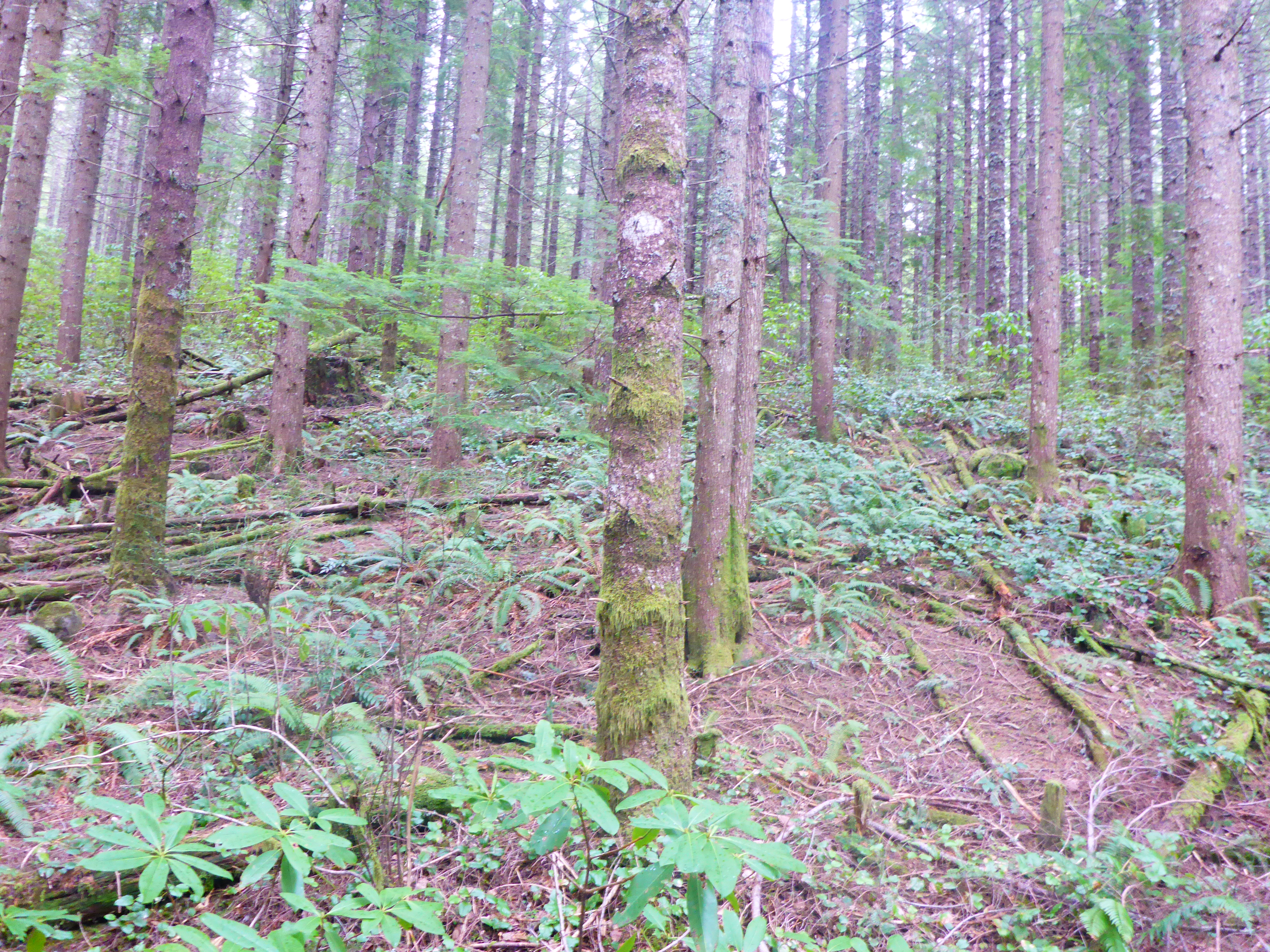
Moore Unit 16

2014-05- 14- Spring Drive-7998-Edit.jpg
Mt> Hood

Oregon, USA

Beargrass heaven
Goat Mtn Unit 22
Walking down to Alder Flats
Three Lynx Falls
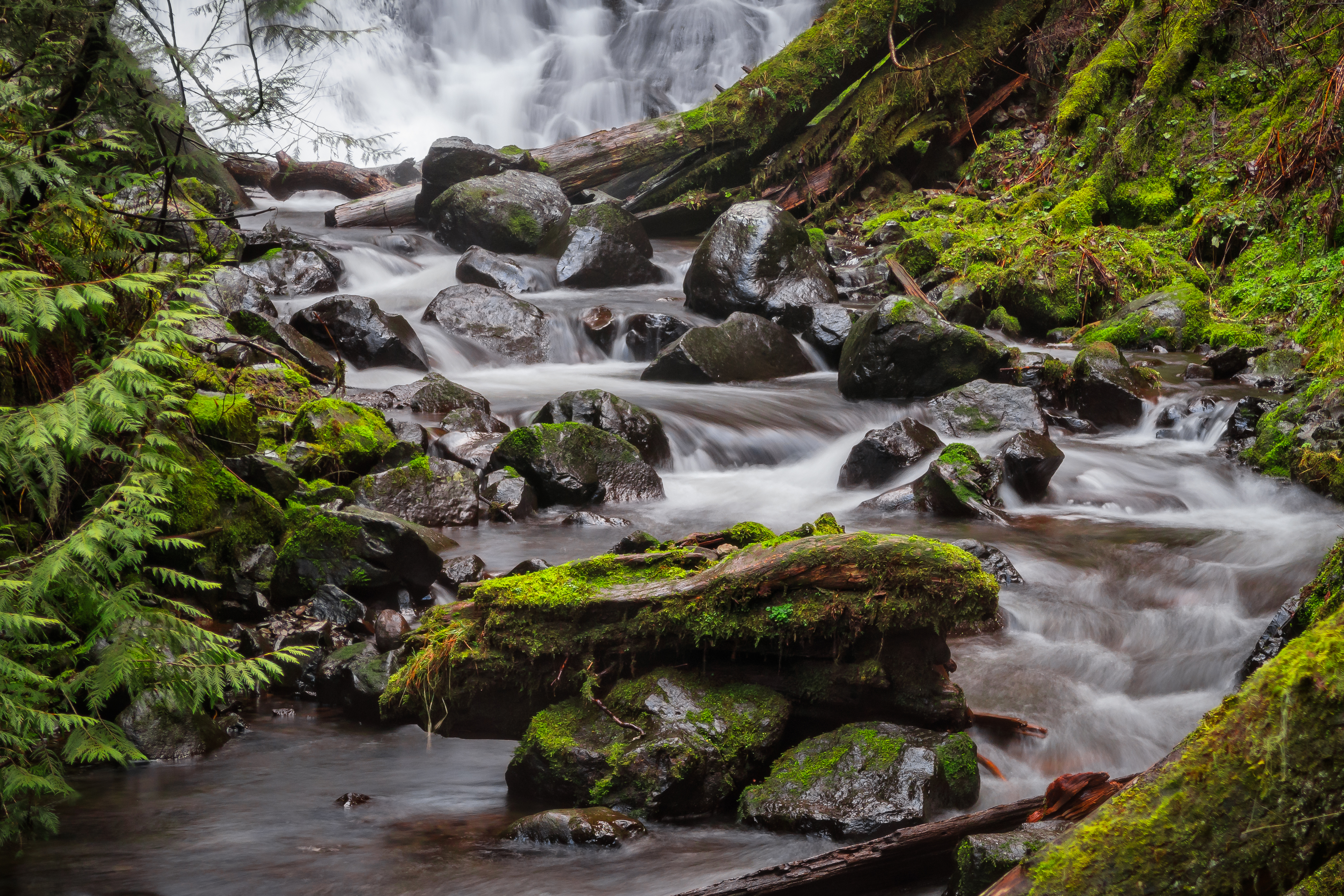
Base of Pup Creek Falls
Target shooting area off rd 4500-130
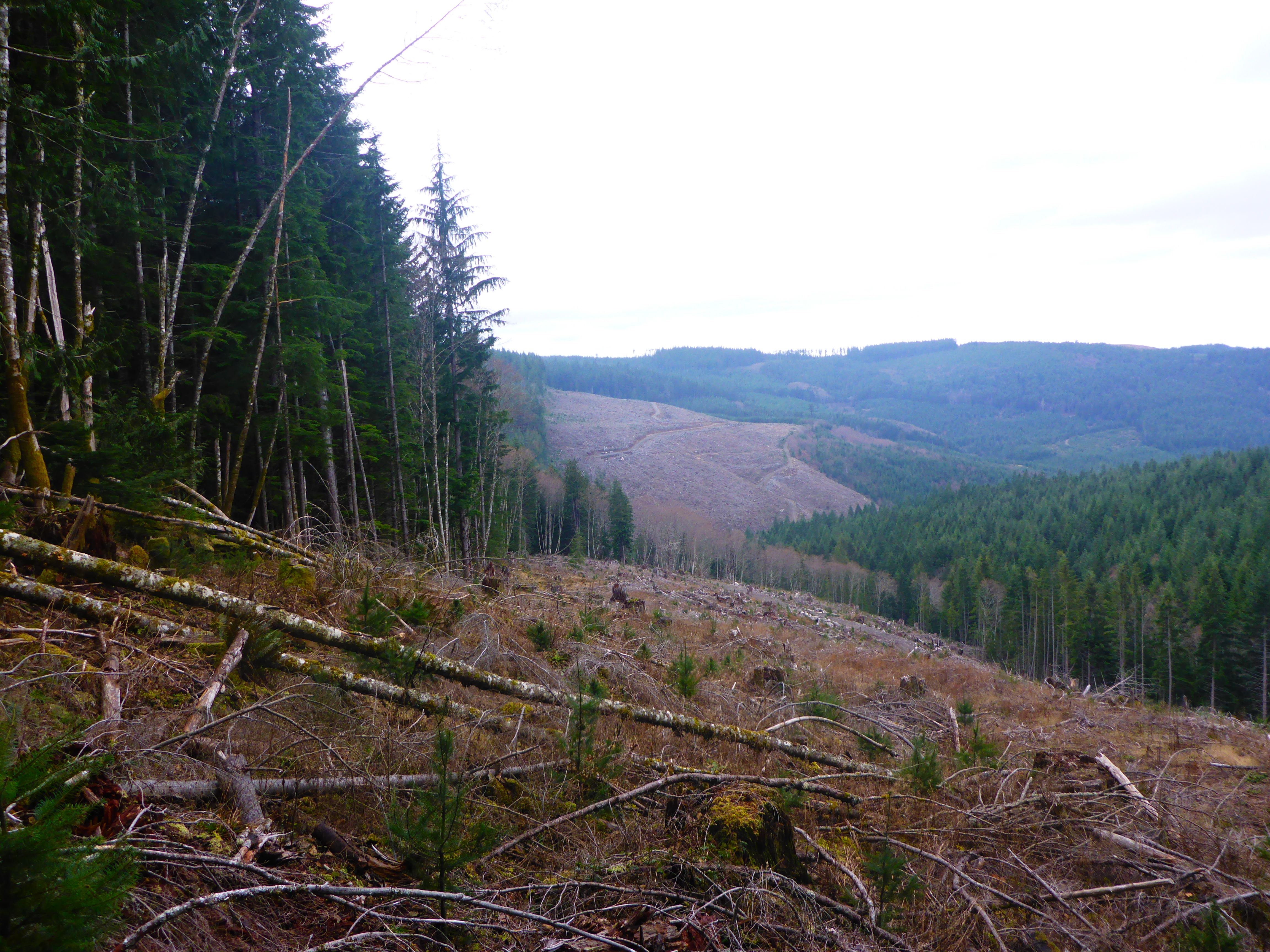
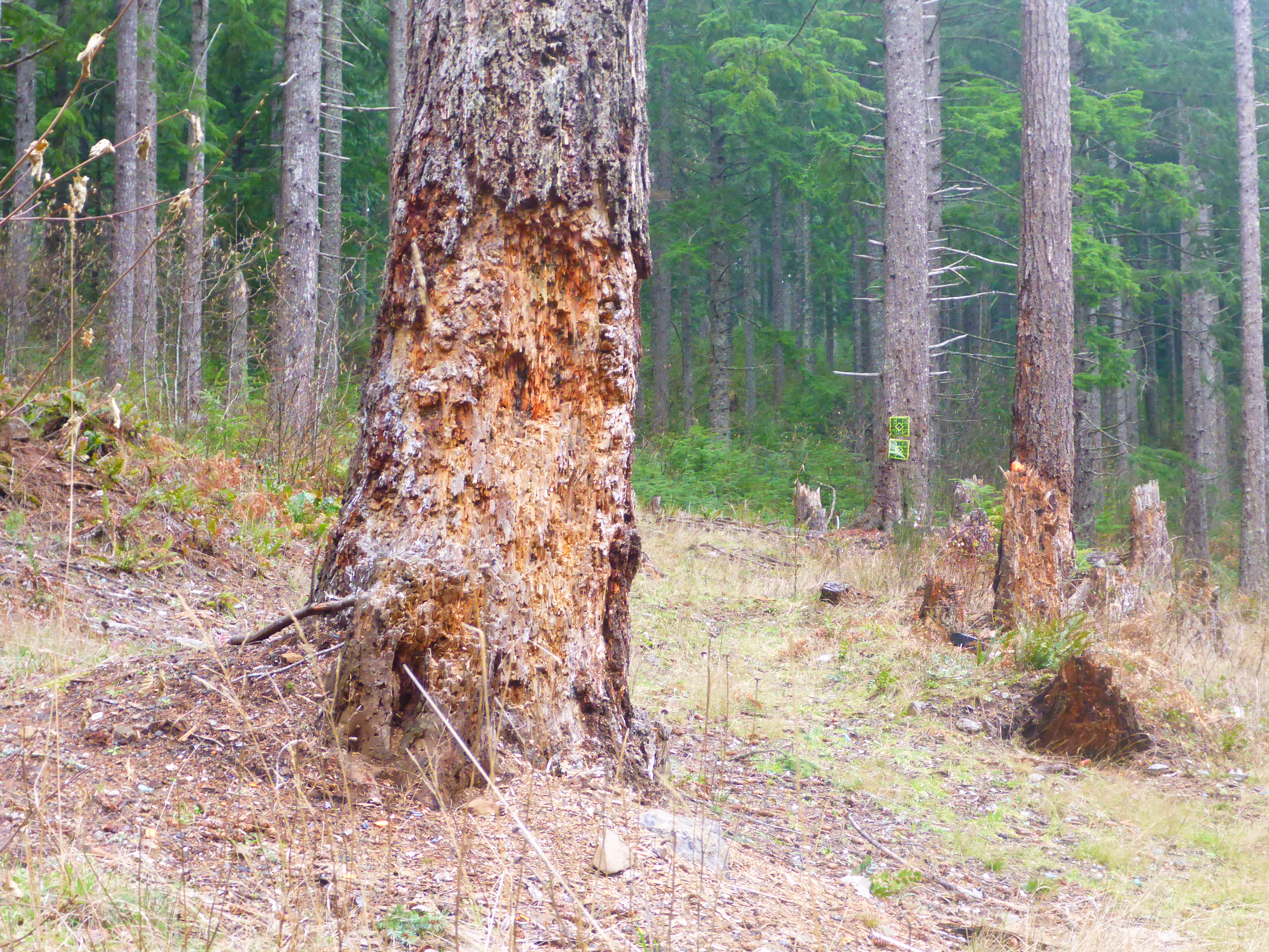
Clearcut adjacent to Goat Mtn. unit 18

A lot of people are out enjoying the North Fork reservoir

Whitewater just after the patch of sun moved away
2013-09-07 19.49.10
Near the Fireline
Topographic Map of Clackamas County, OR, USA
Find elevation by address:

Places in Clackamas County, OR, USA:
Oregon City
Sandy
Lake Oswego
Happy Valley
West Linn
Estacada
Boring
Colton
Clackamas
Eagle Creek
Beavercreek
Milwaukie
Molalla
Government Camp
Mount Hood Village
Rhododendron
Wilsonville
Canby
Damascus
Happy Valley
Woodburn
Gladstone
Mulino
Jennings Lodge
Oak Grove
Oatfield
Schreiner Peak
N Main St, Canby, OR, USA
Alder Creek
Wilhoit
Glen Avon
National Forest Development Road 42
Barlow
Redland
Viola
Marquam
Johnson City
Places near Clackamas County, OR, USA:
Southeast Bowman Road
Southeast Buzz Road
Southeast Webber Road
34322 Se Frontier Rd
26250 Se Brian Ranch Rd
25771 Se Brian Ranch Rd
27400 Se Nelson Rd
40621 Se George Rd
40595 Se George Rd
Southeast Kleinsmith Road
46190 Se Pagh Rd
Southeast Pagh Road
37380 Se Tumala Mountain Rd
43220 Se Pagh Rd
27953 S Skinner Rd
25353 Se Lamar Ln
35155 Se Surface Rd
36480 Se Tracy Rd
Tracy
33512 Se Moss Hill Rd
Recent Searches:
- Elevation of Corso Fratelli Cairoli, 35, Macerata MC, Italy
- Elevation of Tallevast Rd, Sarasota, FL, USA
- Elevation of 4th St E, Sonoma, CA, USA
- Elevation of Black Hollow Rd, Pennsdale, PA, USA
- Elevation of Oakland Ave, Williamsport, PA, USA
- Elevation of Pedrógão Grande, Portugal
- Elevation of Klee Dr, Martinsburg, WV, USA
- Elevation of Via Roma, Pieranica CR, Italy
- Elevation of Tavkvetili Mountain, Georgia
- Elevation of Hartfords Bluff Cir, Mt Pleasant, SC, USA