Elevation of Schreiner Peak, Oregon, USA
Location: United States > Oregon > Clackamas County >
Longitude: -122.04341
Latitude: 44.9009555
Elevation: 1720m / 5643feet
Barometric Pressure: 82KPa
Elevation Map:
Satellite Map:
Related Photos:
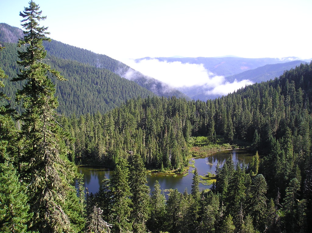
Lower Welcome Lake

Getting close to the top of the ramp, and spectacular views are visible to the west
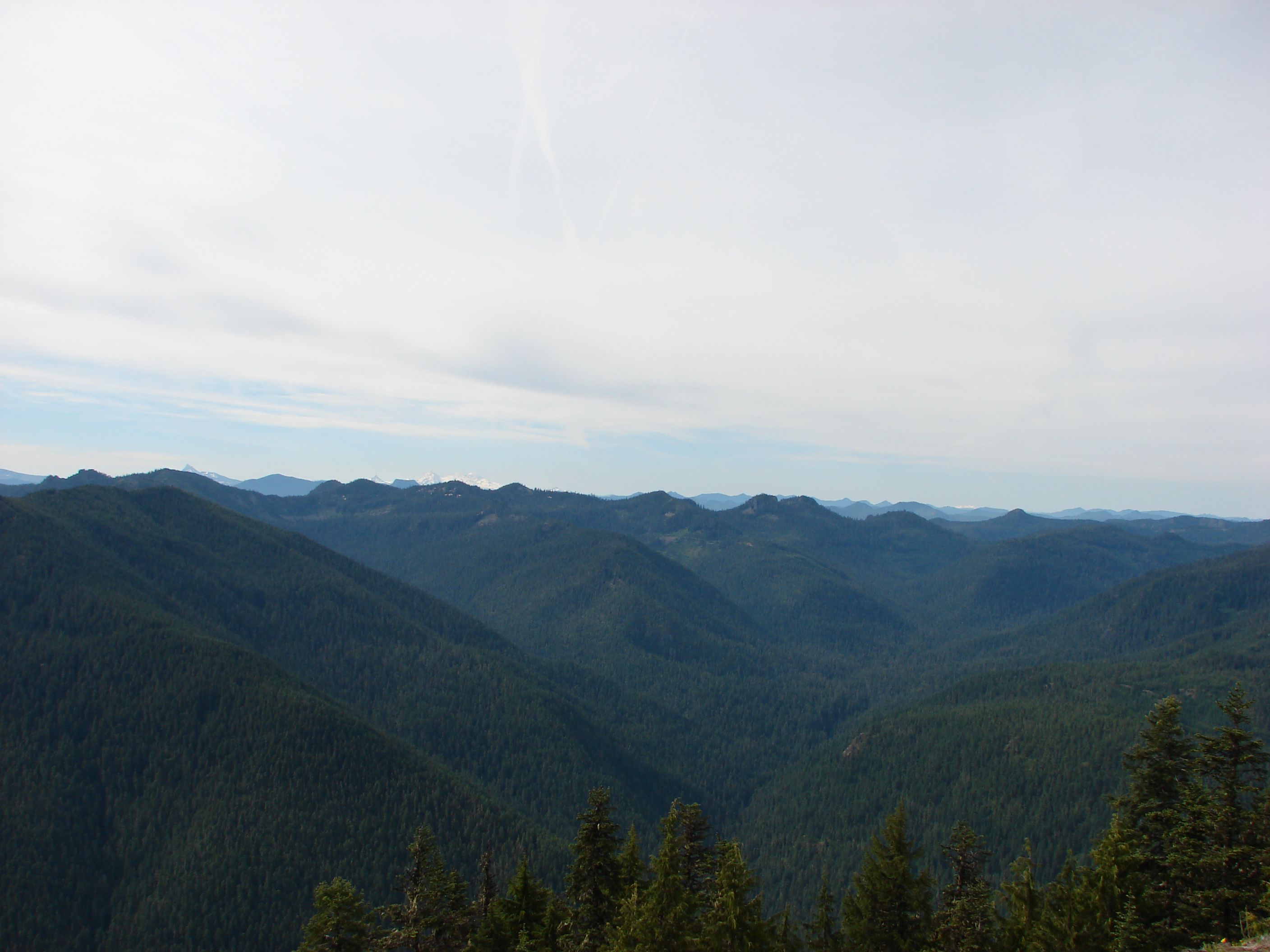
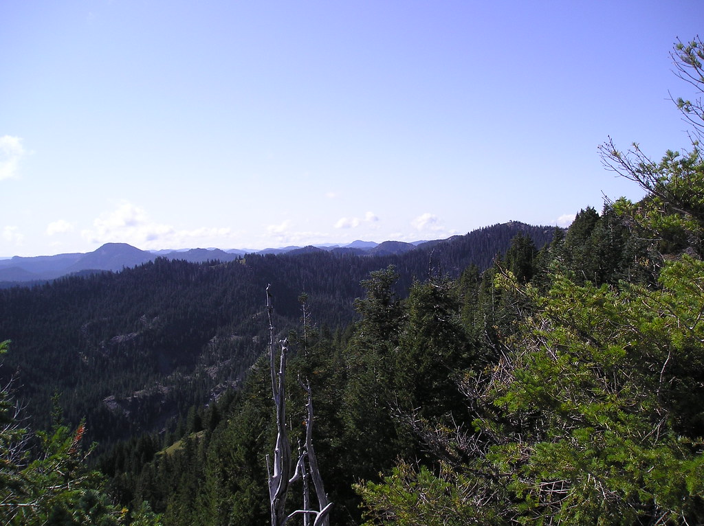
View from Whetstone Mountain

View from the Whetstone Mountain Trail
Our view
View from Whetstone Mountain
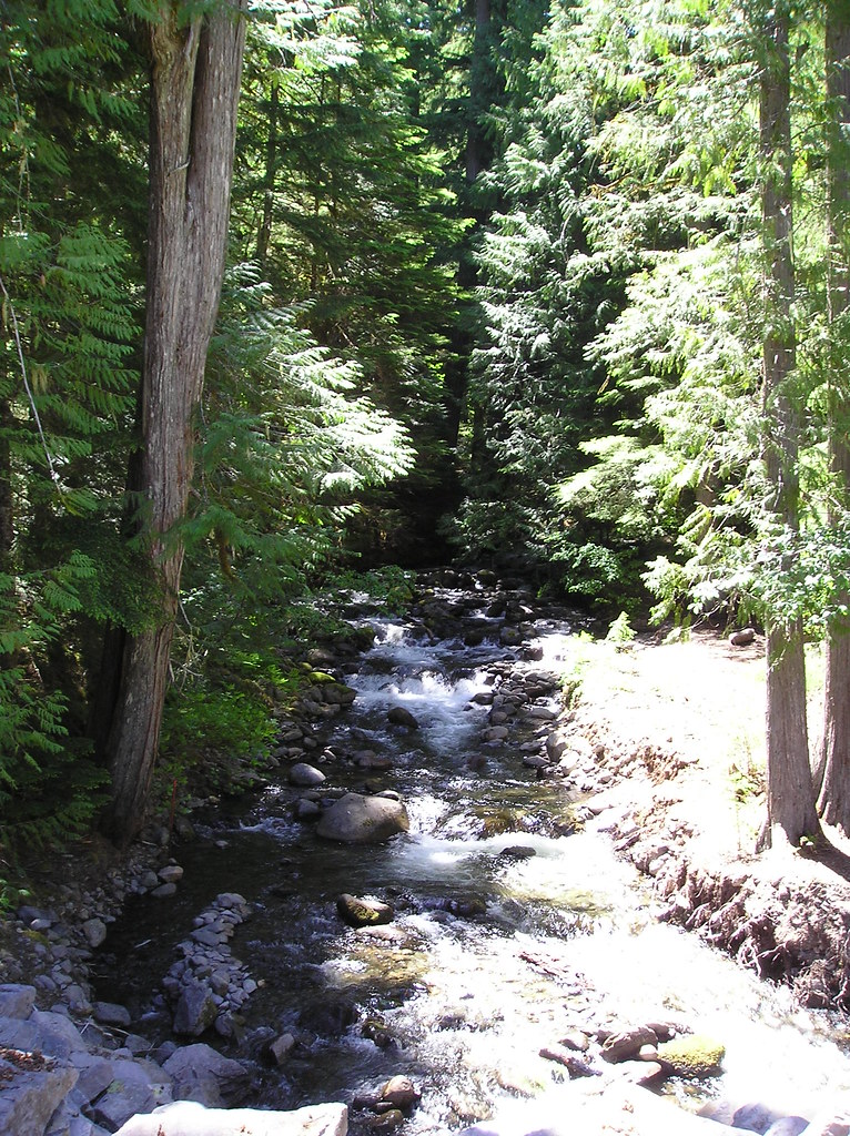
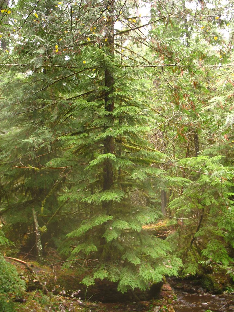
Rhododendron Creek near trailhead
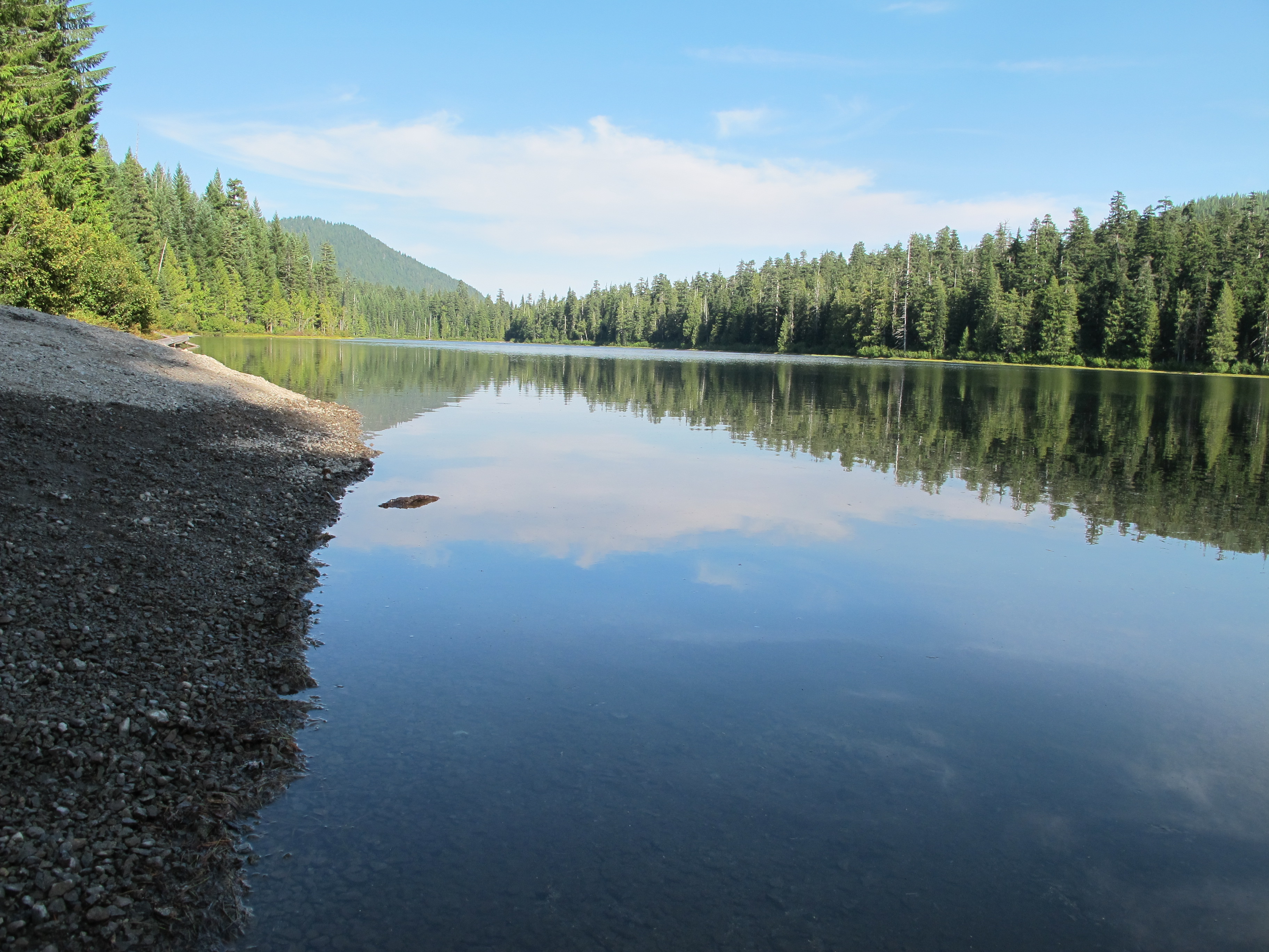
Lake View
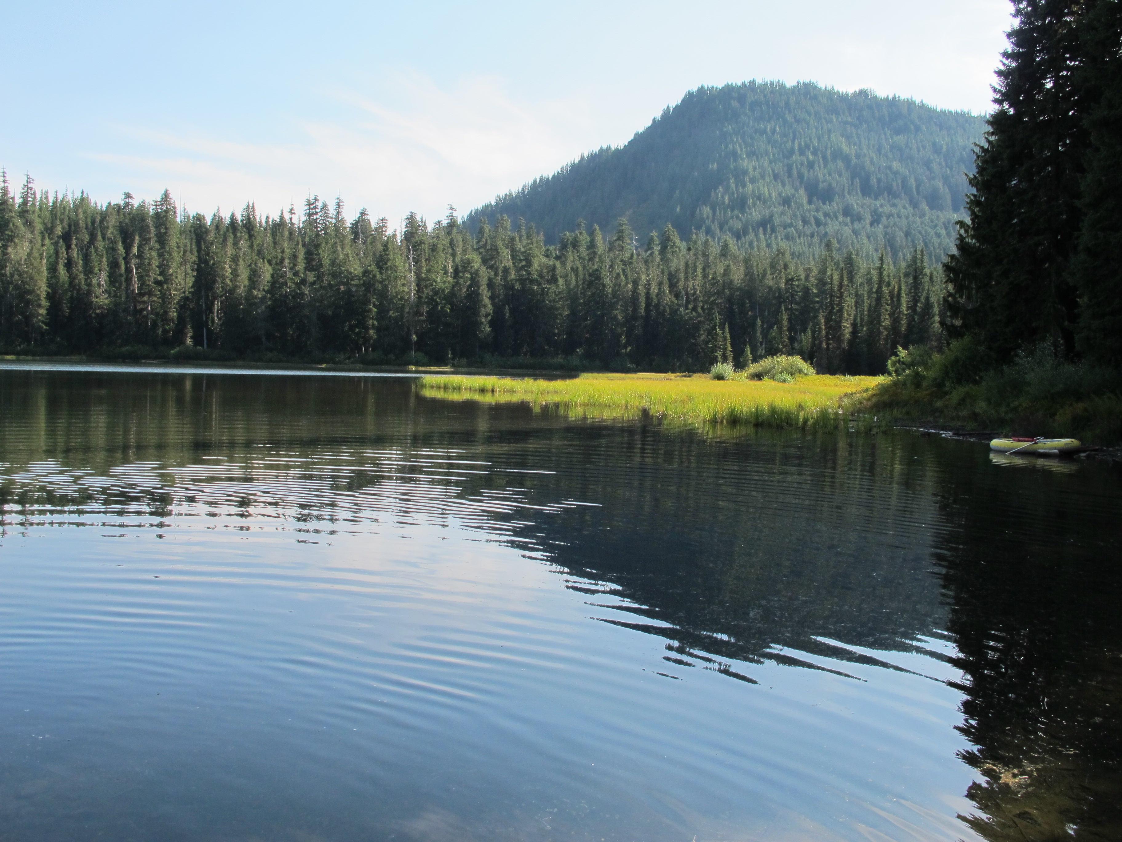
Elk Lake View

Views from the Road
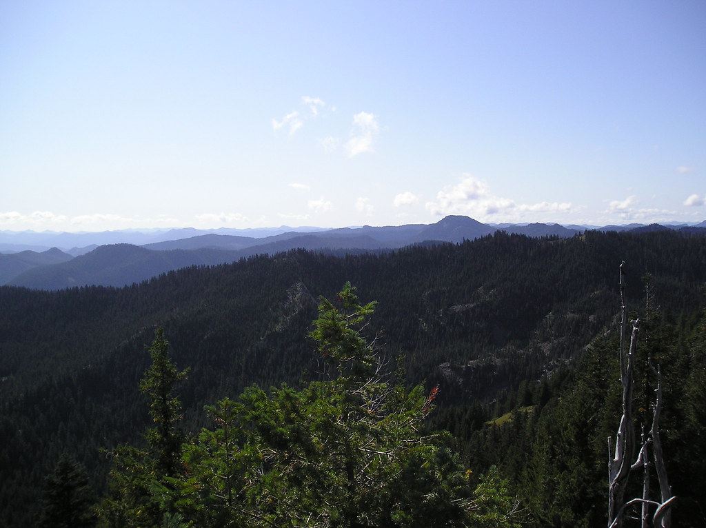
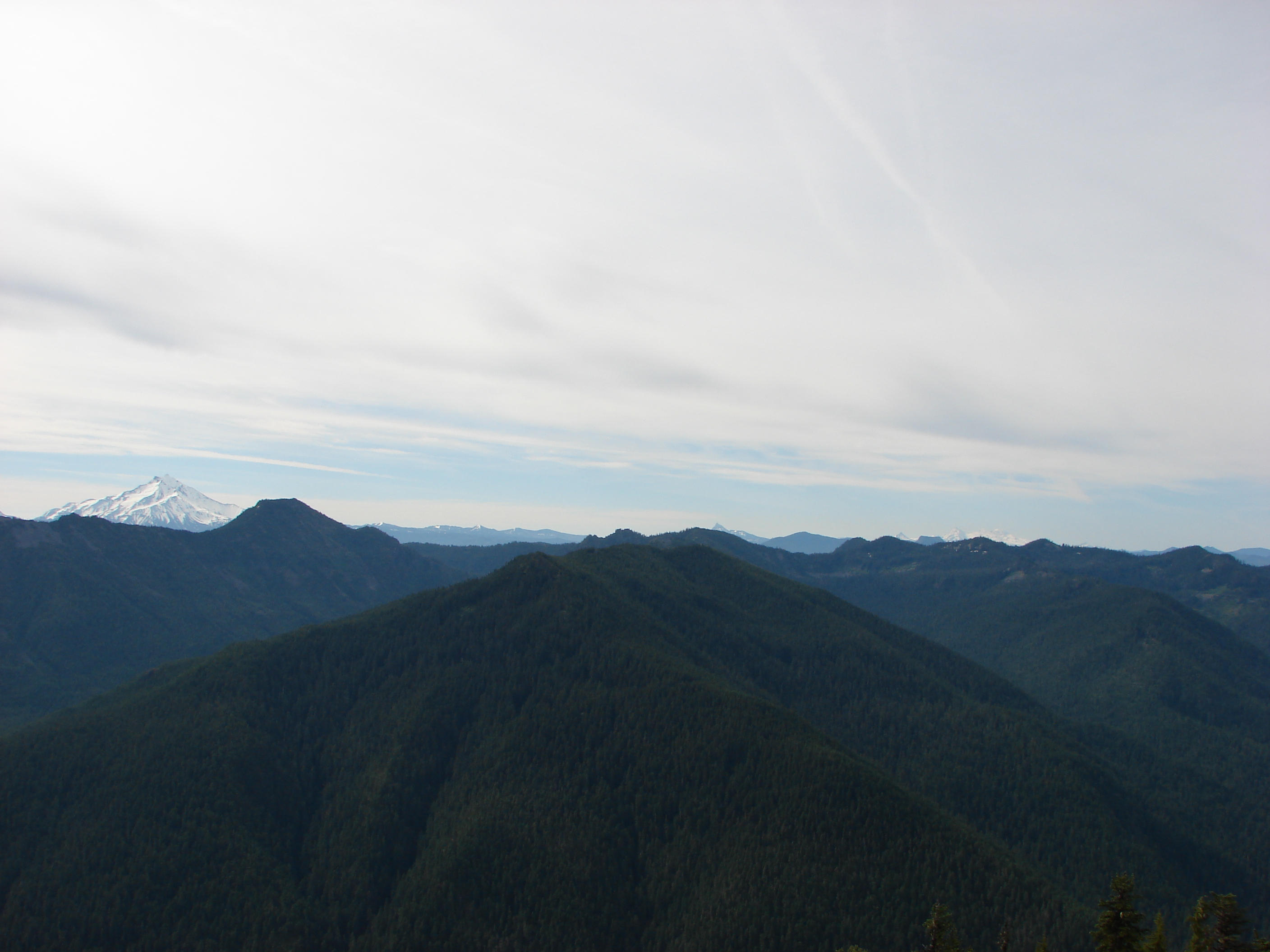
View to south from Big Slide Mtn

View to south from Big Slide Mtn
View to southwest from Big Slide Mtn
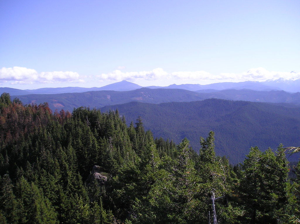
View to east from Big Slide Mtn
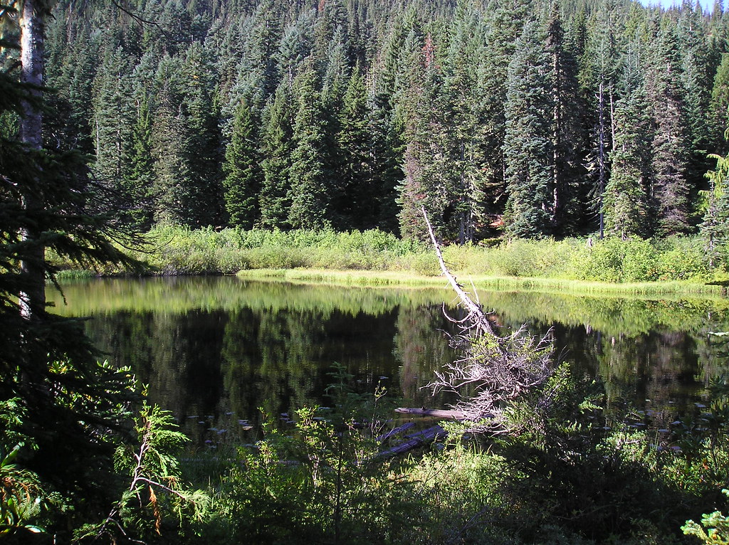
Upper Welcome Lake
Topographic Map of Schreiner Peak, Oregon, USA
Find elevation by address:

Places near Schreiner Peak, Oregon, USA:
Gold Butte
Breitenbush Rd SE, Detroit, OR, USA
National Forest Development Road 810
110 Scott Ave
90 Tumble St
115 Tumble St
70 Tumble St
60 Tumble St
135 Scott Ave
135 N Butte St
110 Butte St
280 Butte St
255 Humbug St
Detroit
Idanha
N Santiam Hwy, Detroit, OR, USA
National Forest Development Road 2207
Detroit Lake
Olallie Lake
National Forest Development Road 201
Recent Searches:
- Elevation of Corso Fratelli Cairoli, 35, Macerata MC, Italy
- Elevation of Tallevast Rd, Sarasota, FL, USA
- Elevation of 4th St E, Sonoma, CA, USA
- Elevation of Black Hollow Rd, Pennsdale, PA, USA
- Elevation of Oakland Ave, Williamsport, PA, USA
- Elevation of Pedrógão Grande, Portugal
- Elevation of Klee Dr, Martinsburg, WV, USA
- Elevation of Via Roma, Pieranica CR, Italy
- Elevation of Tavkvetili Mountain, Georgia
- Elevation of Hartfords Bluff Cir, Mt Pleasant, SC, USA