Elevation of Van Fleet Ave, Sandy, OR, USA
Location: United States > Oregon > Clackamas County > Sandy >
Longitude: -122.25336
Latitude: 45.3911638
Elevation: 320m / 1050feet
Barometric Pressure: 98KPa
Elevation Map:
Satellite Map:
Related Photos:

Rainbow in the Columbia River Gorge

View from My Place

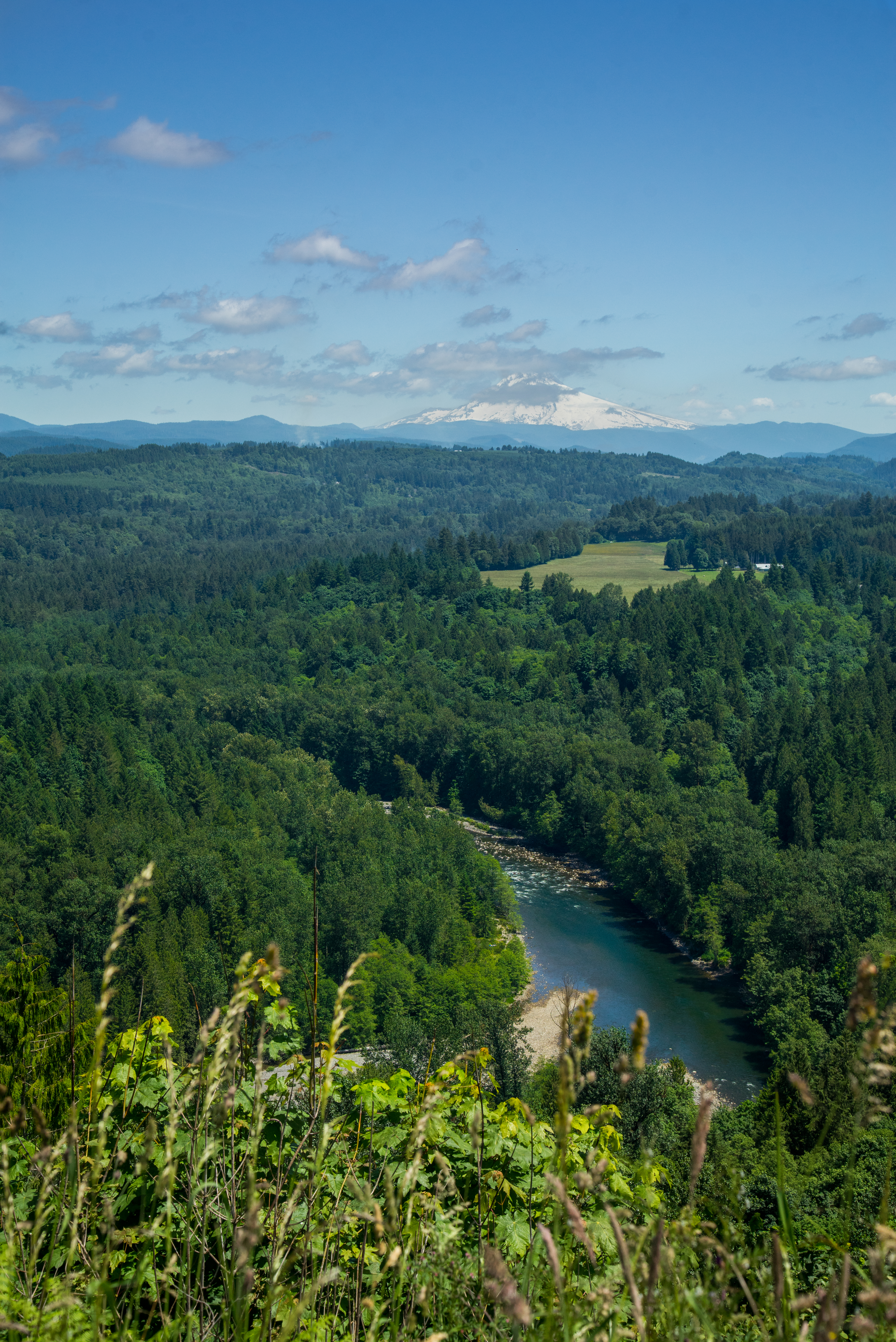
Mt. Hood over the Powell Valley, Oregon

Rolling fog over Sandy River Valley. Can't wait to see more of these foggy landscapes . . . . . #jonrudsviewpoint #sandyoregon #foggymorning #foggysunrise #mthoodterritory #canon_official #canonphotography #madewithmefoto #purplepassport #explorecreatesha

Maybe this world is another planet's hell…

Jonsrud take 2

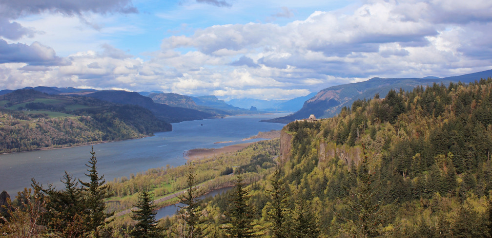
Classic View of the Columbia River Gorge

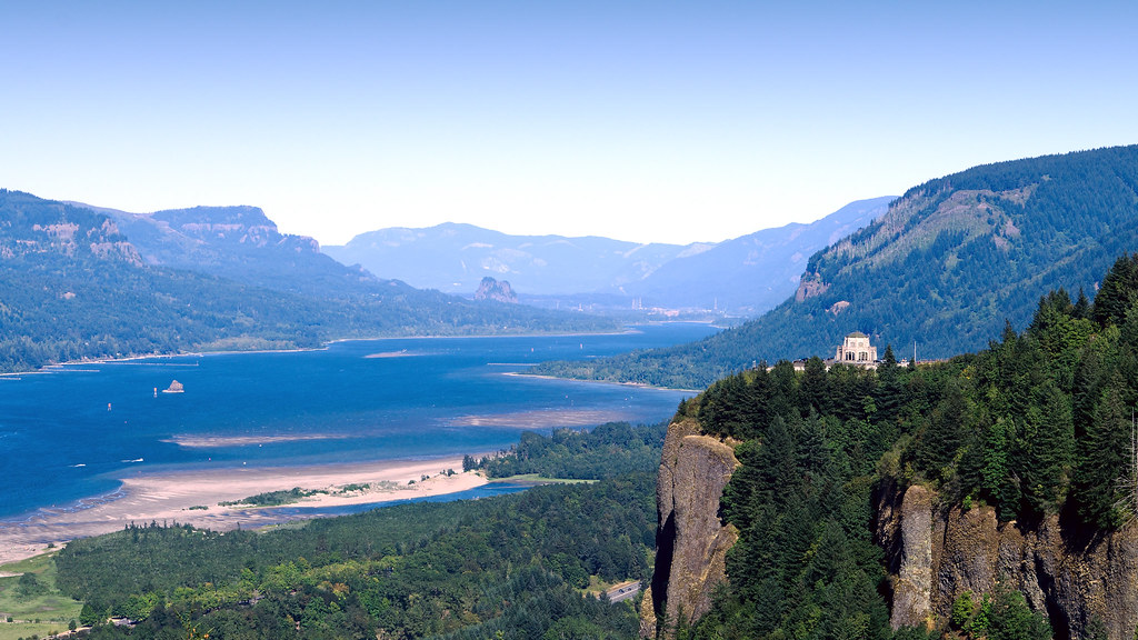
Columbia River Gorge

Views of the Columbia River at Chanticleer Point

Views of the Columbia River at Chanticleer Point (Black & White)

The most I can do for my friend is simply be his friend…

Just living is not enough... one must have sunshine, freedom, and a little flower…

One of those gorgeous sunrises and rolling fog scene I captured sometime ago . . . . . #pacificnorthwest #sandyriver #foggymorning #mthood #traveloregon #exploreoregon #mthoodterritory #mthoodnationalforest #jj_westcoast #jj_oregon #purplepassport #explor

Recognize this?

Crown Point and Vista House, June 2019

columbia gorge

Moonrise and Sunrise Over Mount Hood and Sandy River Valley - HDR
DSC02095 (4) Mt. Hood Oregon
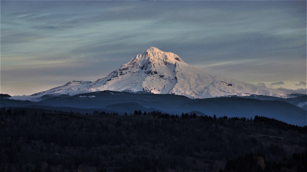
_DSC7689 (4) Mt. Hood

{ sunrise over the oregon trail }
Mt Hood from Jonsrud View Point, Sandy, Oregon
Columbia River Gorge

Crown Point
Columbia River

Hood and the fog at Jonsrud

Beacon Rock and Vista House

Luckdragon at Upper Latourell

Crown point

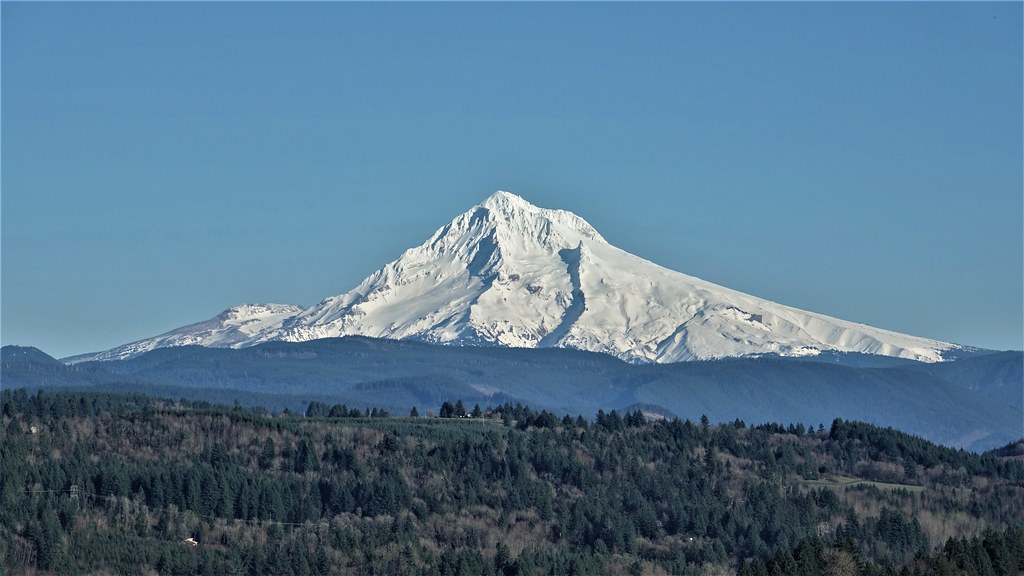
Mt. Hood Majesty

Upper Latourell Green

Valley of the Clouds

Storm over the Columbia River Gorge

The Columbia River begins its journey in the Canadian Rockies and finds its way down into Washington and Oregon where it flows past the northern slopes of Mt Hood. There are many tributaries flowing off those slopes where high rainfall feeds a lush forest

Vista House
Topographic Map of Van Fleet Ave, Sandy, OR, USA
Find elevation by address:

Places near Van Fleet Ave, Sandy, OR, USA:
39559 Wall St
17795 Davis Dr
40308 Dubarko Rd
18440 Ross Ave
19000 Se Bornstedt Rd
38897 Creekside Loop
38915 Sandy Heights St
Sandy
38730 Or-211
19852 Se Jacoby Rd
19040 Se Bornstedt Rd
18309 Tickle Creek Avenue
Dubarko Road
18075 Bluff Rd
38440 Maple St
38440 Maple St
38811 Se Trubel Rd
Oregon 211
38255 Se Trubel Rd
16320 Se Bluff Rd
Recent Searches:
- Elevation of Congressional Dr, Stevensville, MD, USA
- Elevation of Bellview Rd, McLean, VA, USA
- Elevation of Stage Island Rd, Chatham, MA, USA
- Elevation of Shibuya Scramble Crossing, 21 Udagawacho, Shibuya City, Tokyo -, Japan
- Elevation of Jadagoniai, Kaunas District Municipality, Lithuania
- Elevation of Pagonija rock, Kranto 7-oji g. 8"N, Kaunas, Lithuania
- Elevation of Co Rd 87, Jamestown, CO, USA
- Elevation of Tenjo, Cundinamarca, Colombia
- Elevation of Côte-des-Neiges, Montreal, QC H4A 3J6, Canada
- Elevation of Bobcat Dr, Helena, MT, USA