Elevation of US-14, Clearmont, WY, USA
Location: United States > Wyoming > Sheridan County >
Longitude: -106.53930
Latitude: 44.560794
Elevation: 1243m / 4078feet
Barometric Pressure: 87KPa
Elevation Map:
Satellite Map:
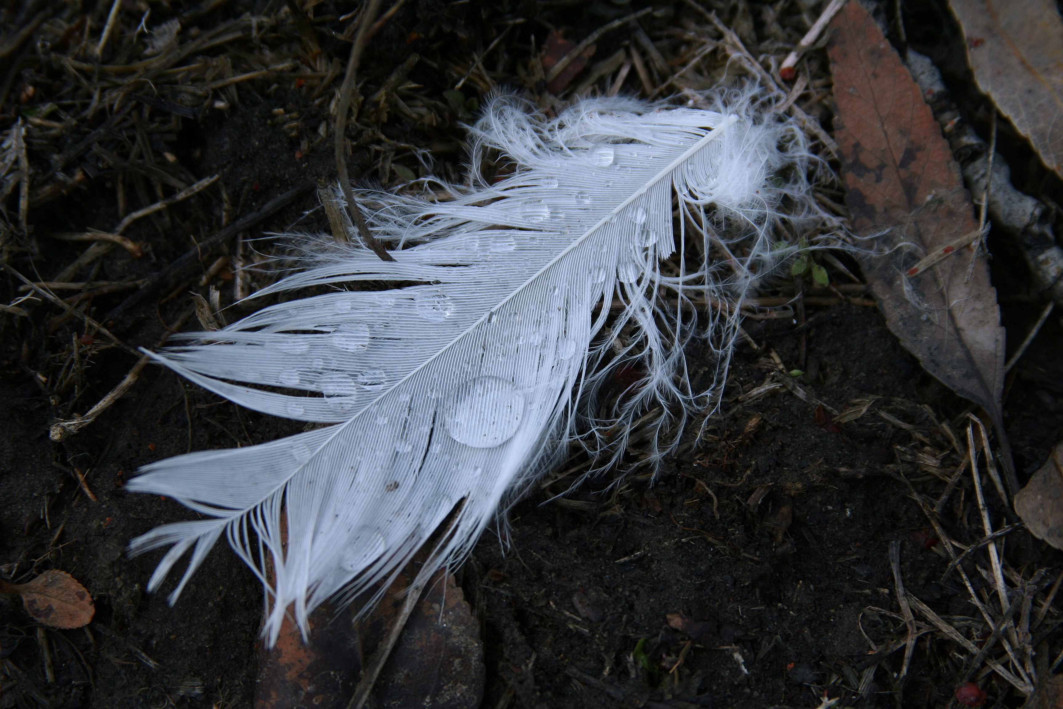
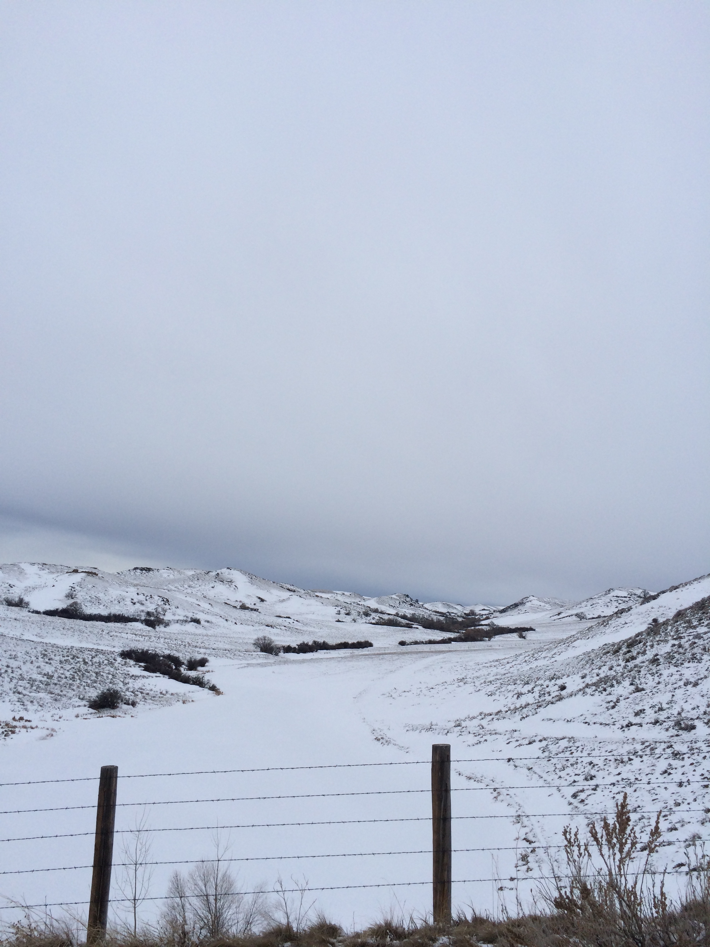
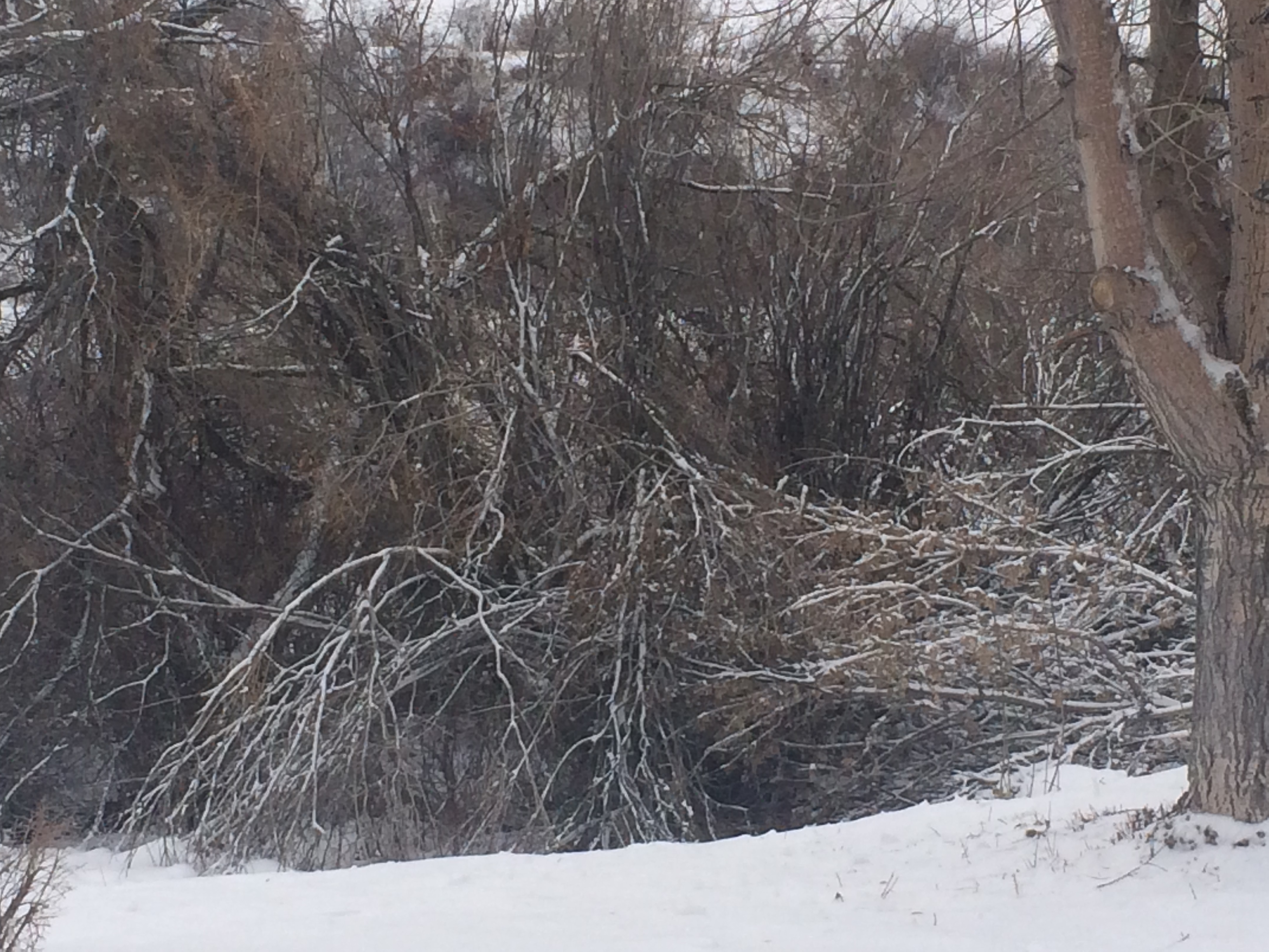
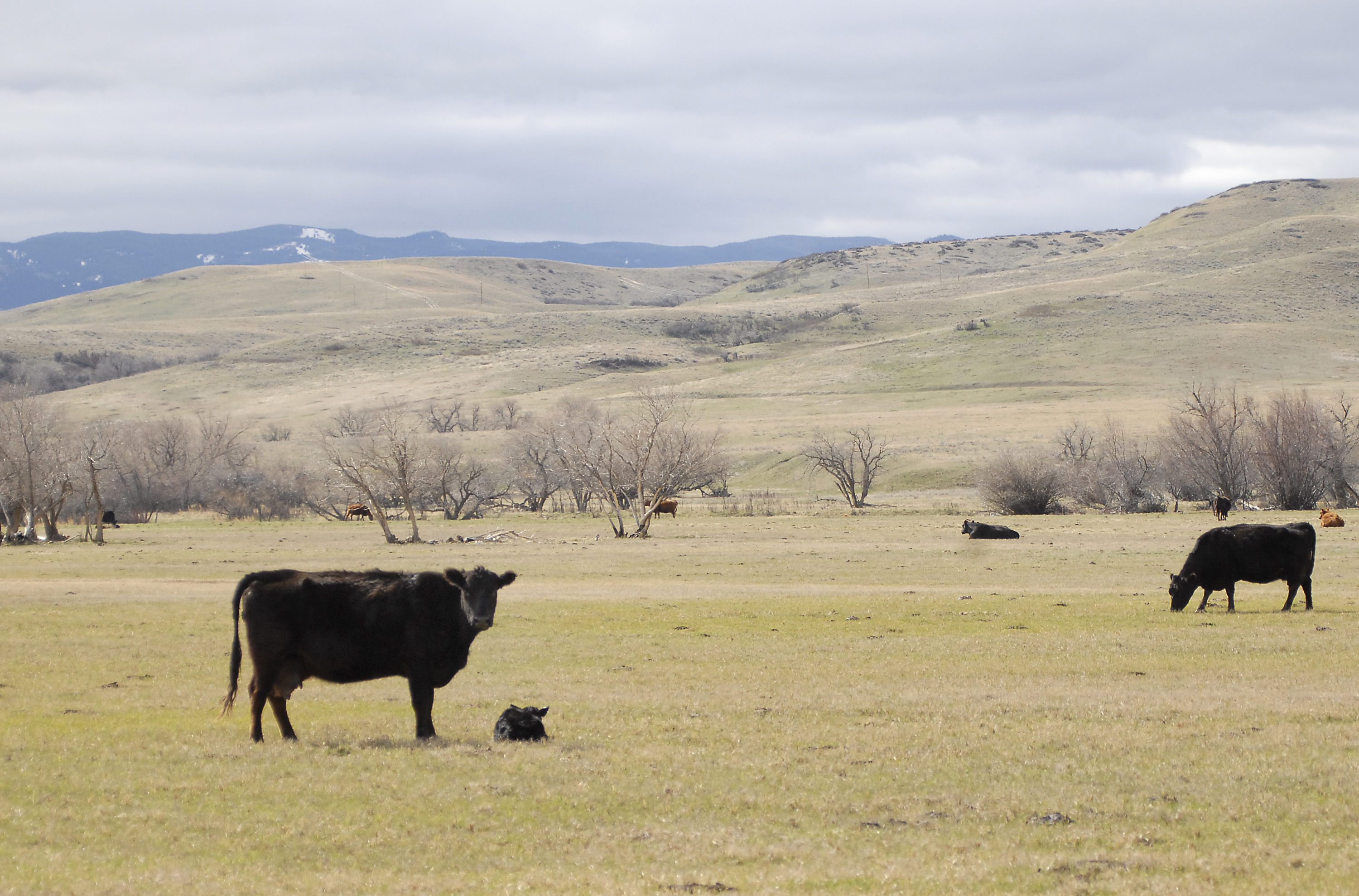
Related Photos:

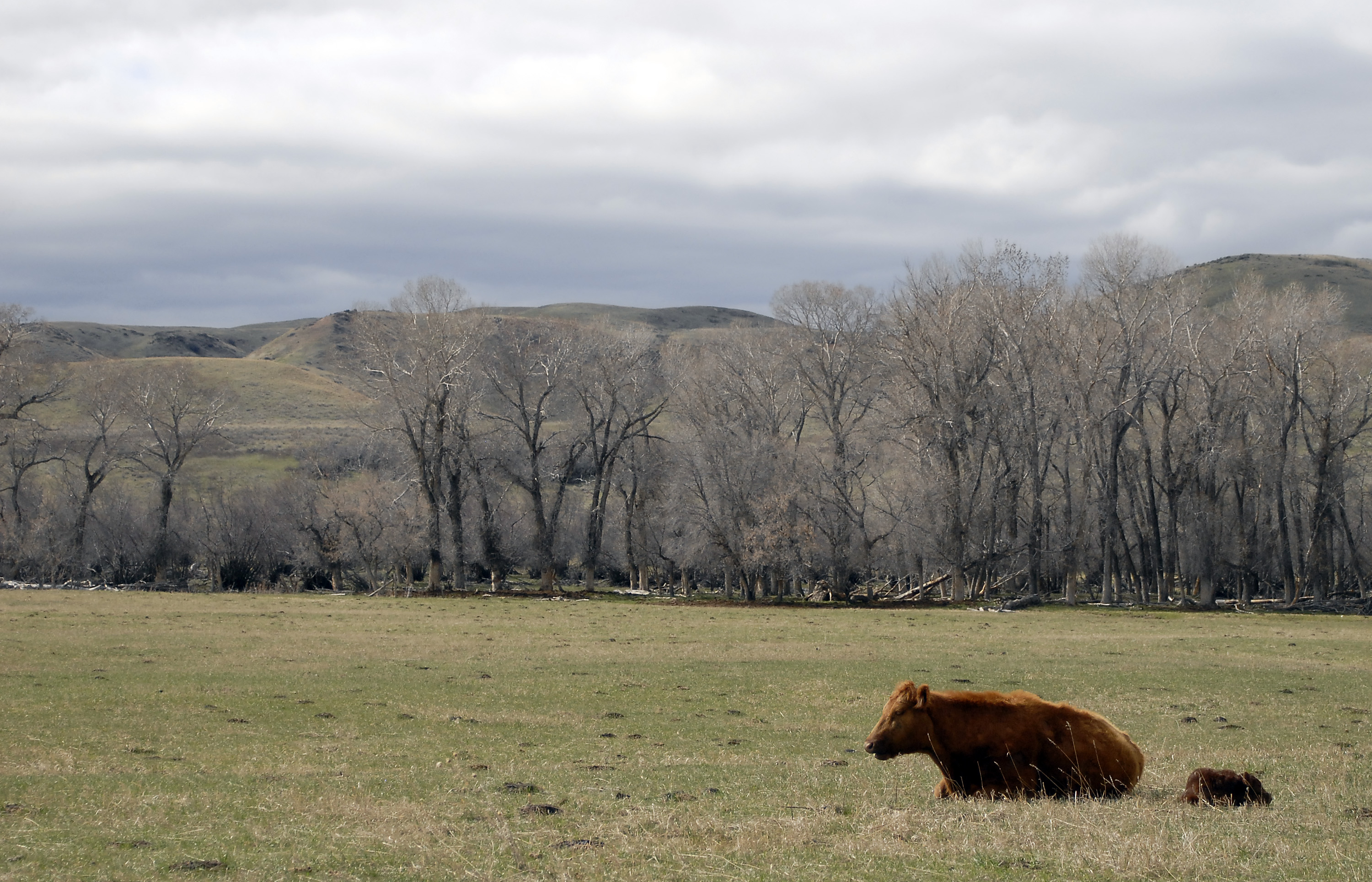
Cool Pools
Vane Pools

Jentel 2014
Jentel 2014
Jentel 2014
2016-04-10_17-33-52
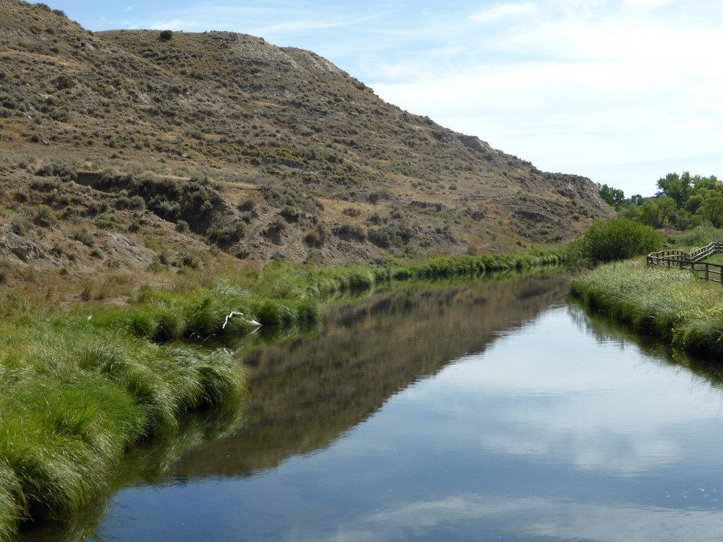
creek at the ranch

Indian Summer

Rattlesnake canyon
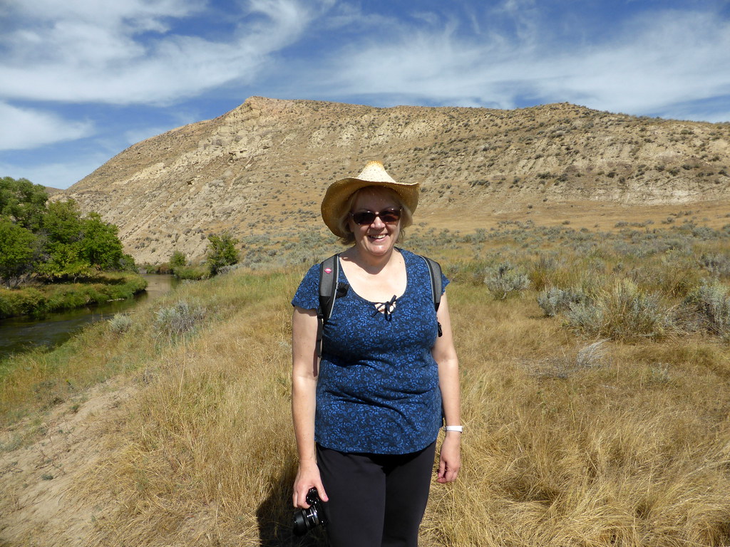
07 U Cross Ranch 013
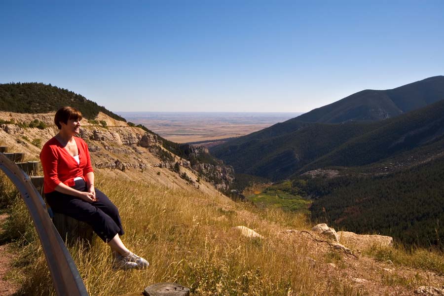
07 Bighorn Mountains 003
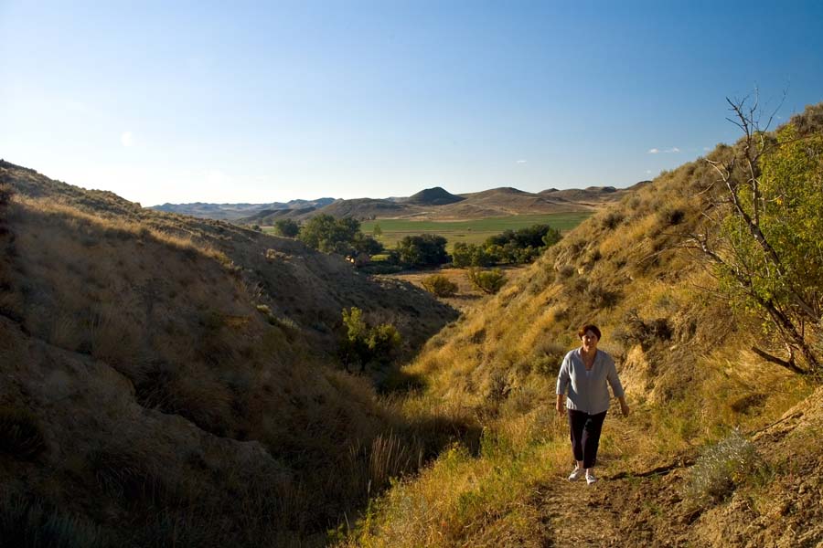
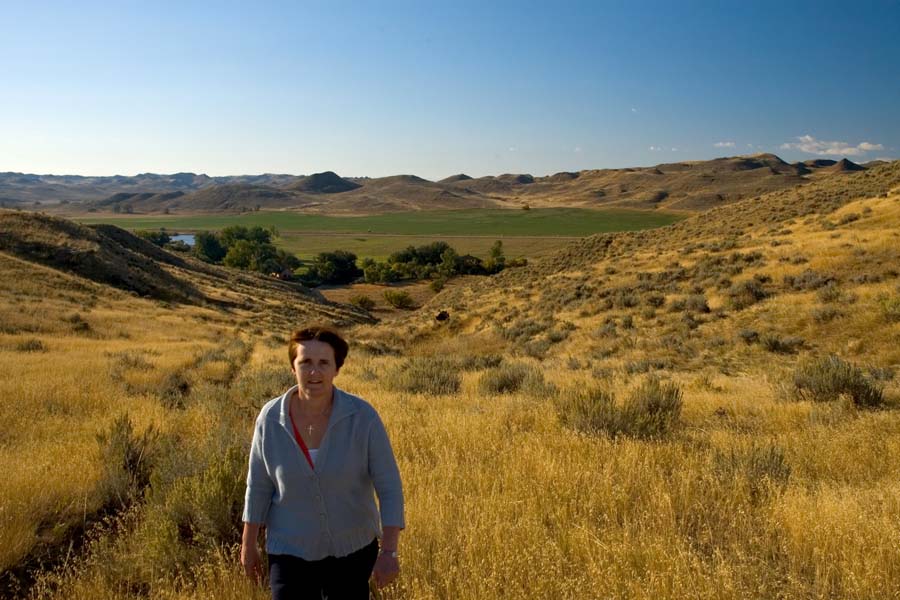
Chris on our walk
2016-04-10_17-32-33
07 a U Cross Ranch 017
Topographic Map of US-14, Clearmont, WY, USA
Find elevation by address:

Places near US-14, Clearmont, WY, USA:
Ulm Rd, Clearmont, WY, USA
Clearmont
New York Ave, Clearmont, WY, USA
1519 Tipperary Rd
233 Dow Prong Rd
33 Verona Rd, Banner, WY, USA
Lake De Smet
75 N Main St, Buffalo, WY, USA
Buffalo
State Hwy, Banner, WY, USA
Fort Phil Kearny Historic Site
528 Wagon Box Rd
US-14, Arvada, WY, USA
Banner
Wyarno Rd, Sheridan, WY, USA
Arvada
Elgin Park
227 Muddy Creek Rd
Johnson County
Mayoworth
Recent Searches:
- Elevation of Congressional Dr, Stevensville, MD, USA
- Elevation of Bellview Rd, McLean, VA, USA
- Elevation of Stage Island Rd, Chatham, MA, USA
- Elevation of Shibuya Scramble Crossing, 21 Udagawacho, Shibuya City, Tokyo -, Japan
- Elevation of Jadagoniai, Kaunas District Municipality, Lithuania
- Elevation of Pagonija rock, Kranto 7-oji g. 8"N, Kaunas, Lithuania
- Elevation of Co Rd 87, Jamestown, CO, USA
- Elevation of Tenjo, Cundinamarca, Colombia
- Elevation of Côte-des-Neiges, Montreal, QC H4A 3J6, Canada
- Elevation of Bobcat Dr, Helena, MT, USA