Elevation of US-14, Arvada, WY, USA
Location: United States > Wyoming > Sheridan County > Arvada >
Longitude: -106.26092
Latitude: 44.720853
Elevation: 1143m / 3750feet
Barometric Pressure: 88KPa
Elevation Map:
Satellite Map:
Related Photos:
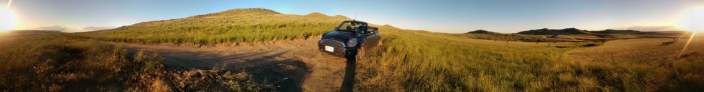
2014-06-29 20.15.02
2014-06-29 20.15.30
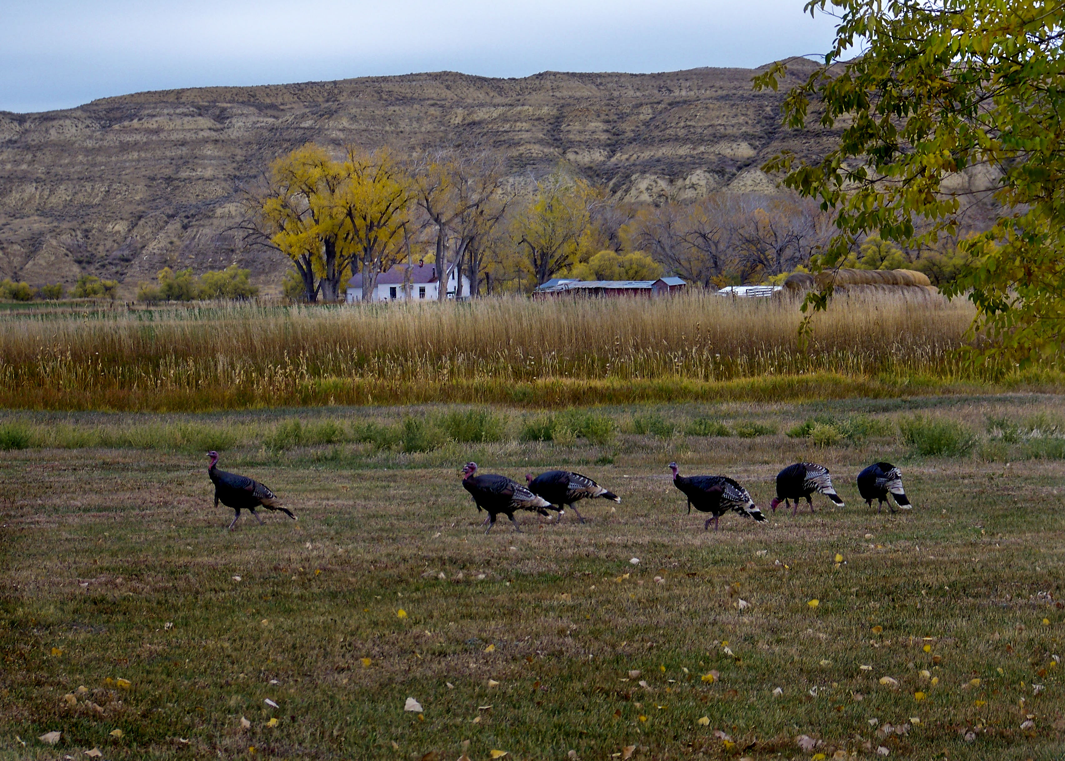
Wild Turkeys
2016-04-14_19-05-30
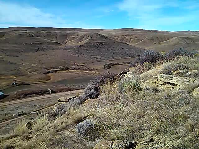
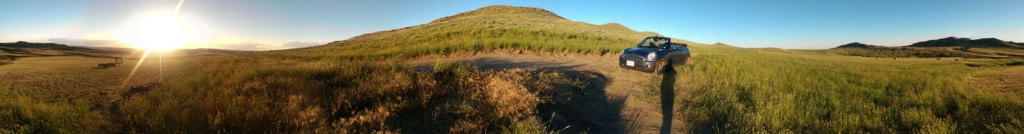
Windy Wyoming Morning

2016-04-14_18-42-49

2016-04-14_18-45-10
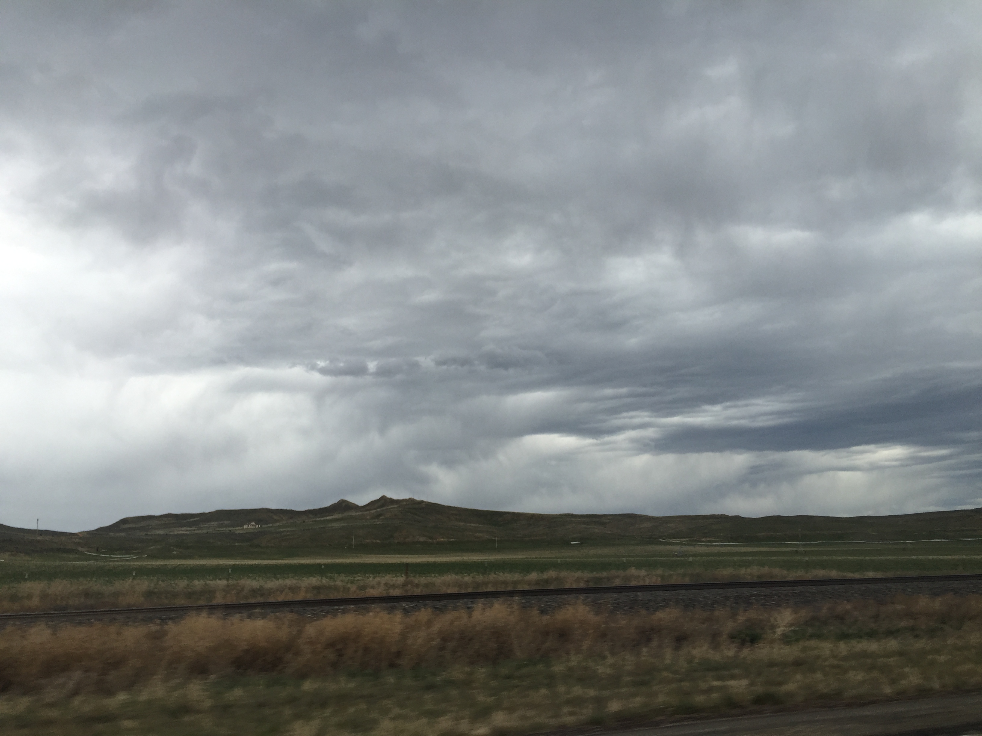
Super-dramatic clouds on the way from Sheridan, WY to Rapid City, SD
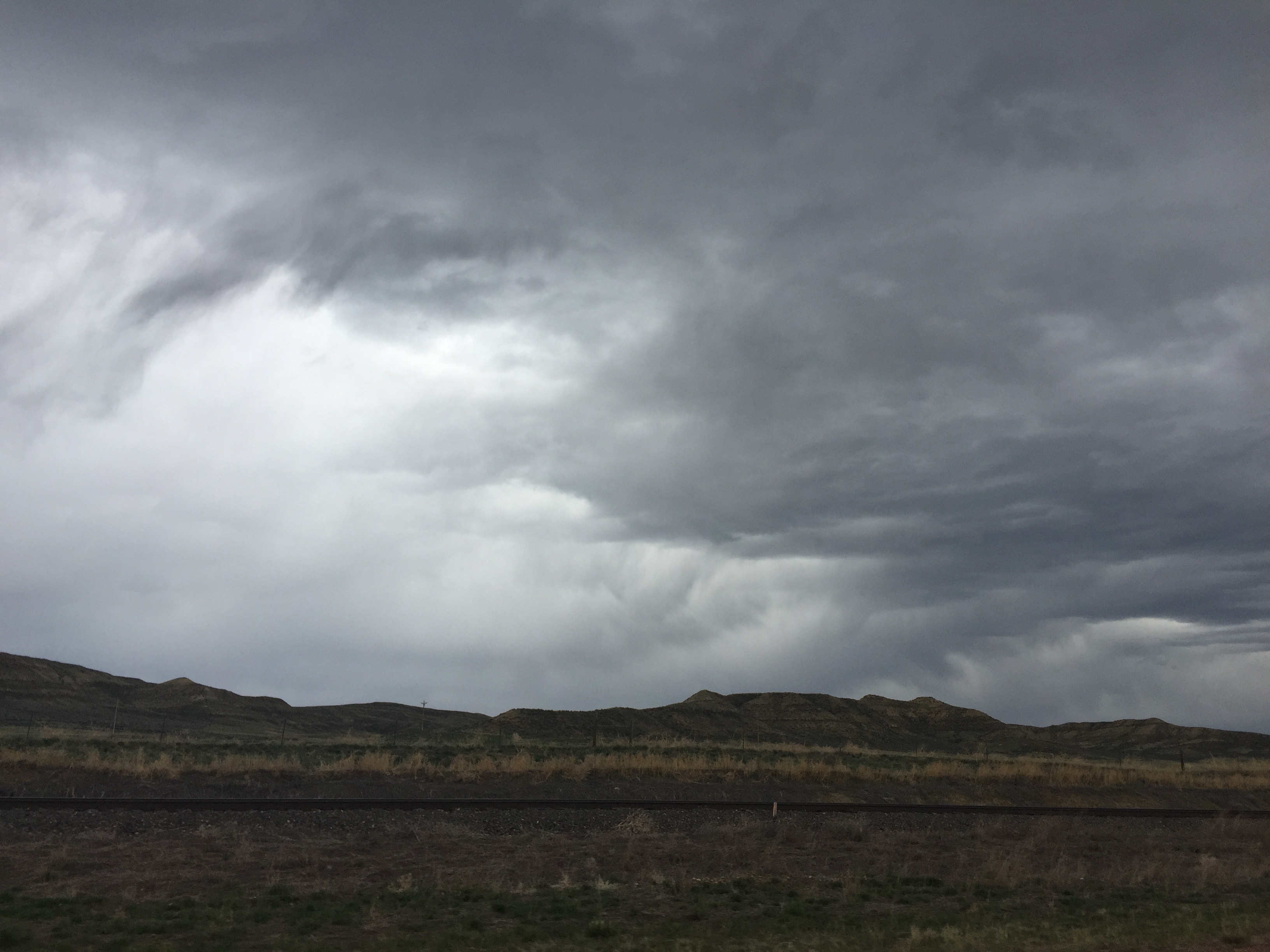
Super-dramatic clouds on the way from Sheridan, WY to Rapid City, SD
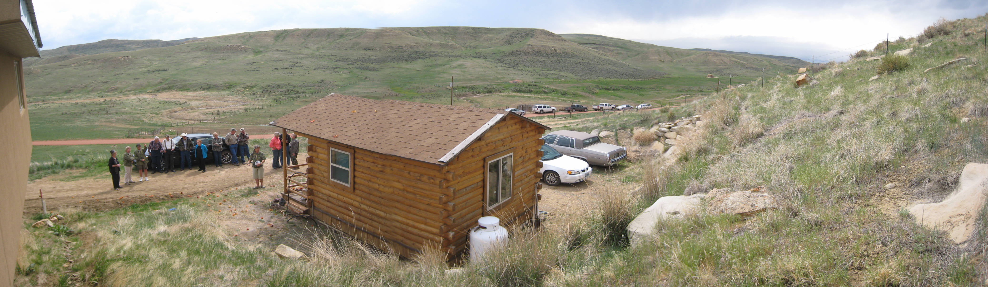
cabin panorama
Topographic Map of US-14, Arvada, WY, USA
Find elevation by address:

Places near US-14, Arvada, WY, USA:
New York Ave, Clearmont, WY, USA
Clearmont
Arvada
US-14, Clearmont, WY, USA
Ulm Rd, Clearmont, WY, USA
1519 Tipperary Rd
33 Verona Rd, Banner, WY, USA
233 Dow Prong Rd
Wyarno Rd, Sheridan, WY, USA
Lake De Smet
75 N Main St, Buffalo, WY, USA
Buffalo
State Hwy, Banner, WY, USA
Fort Phil Kearny Historic Site
528 Wagon Box Rd
Banner
227 Muddy Creek Rd
25 Franklin Ave
Elgin Park
Johnson County
Recent Searches:
- Elevation of Elwyn Dr, Roanoke Rapids, NC, USA
- Elevation of Congressional Dr, Stevensville, MD, USA
- Elevation of Bellview Rd, McLean, VA, USA
- Elevation of Stage Island Rd, Chatham, MA, USA
- Elevation of Shibuya Scramble Crossing, 21 Udagawacho, Shibuya City, Tokyo -, Japan
- Elevation of Jadagoniai, Kaunas District Municipality, Lithuania
- Elevation of Pagonija rock, Kranto 7-oji g. 8"N, Kaunas, Lithuania
- Elevation of Co Rd 87, Jamestown, CO, USA
- Elevation of Tenjo, Cundinamarca, Colombia
- Elevation of Côte-des-Neiges, Montreal, QC H4A 3J6, Canada