Elevation of Mayoworth, WY, USA
Location: United States > Wyoming >
Longitude: -106.79199
Latitude: 43.8319144
Elevation: 1593m / 5226feet
Barometric Pressure: 84KPa
Elevation Map:
Satellite Map:
Related Photos:

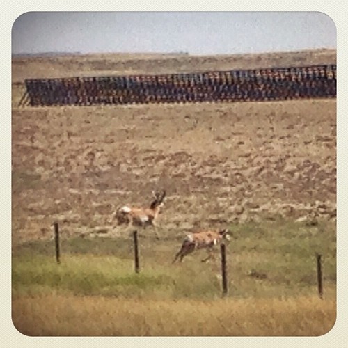
Near Kaycee,Wyoming.

Powder River country

North Fork of the Powder River WSA - 10

North Fork of the Powder River WSA - 2

North Fork of the Powder River WSA - 11
Wyoming, I-90 - August 2014

CIMG0199.jpg

Canadian road trip - Denver to Canmore
Topographic Map of Mayoworth, WY, USA
Find elevation by address:

Places in Mayoworth, WY, USA:
Places near Mayoworth, WY, USA:
261 Nolan Ave
Kaycee
1st St, Kaycee, WY, USA
227 Muddy Creek Rd
Johnson County
Elgin Park
Sussex Rd, Kaycee, WY, USA
Buffalo
75 N Main St, Buffalo, WY, USA
Lake De Smet
1519 Tipperary Rd
State Hwy, Banner, WY, USA
Fort Phil Kearny Historic Site
528 Wagon Box Rd
US-14, Clearmont, WY, USA
Banner
233 Dow Prong Rd
Ulm Rd, Clearmont, WY, USA
Clearmont
New York Ave, Clearmont, WY, USA
Recent Searches:
- Elevation of Congressional Dr, Stevensville, MD, USA
- Elevation of Bellview Rd, McLean, VA, USA
- Elevation of Stage Island Rd, Chatham, MA, USA
- Elevation of Shibuya Scramble Crossing, 21 Udagawacho, Shibuya City, Tokyo -, Japan
- Elevation of Jadagoniai, Kaunas District Municipality, Lithuania
- Elevation of Pagonija rock, Kranto 7-oji g. 8"N, Kaunas, Lithuania
- Elevation of Co Rd 87, Jamestown, CO, USA
- Elevation of Tenjo, Cundinamarca, Colombia
- Elevation of Côte-des-Neiges, Montreal, QC H4A 3J6, Canada
- Elevation of Bobcat Dr, Helena, MT, USA