Elevation of Upper Smith River Rd, Drain, OR, USA
Location: United States > Oregon > Douglas County > Drain >
Longitude: -123.51402
Latitude: 43.800645
Elevation: 256m / 840feet
Barometric Pressure: 98KPa
Elevation Map:
Satellite Map:
Related Photos:
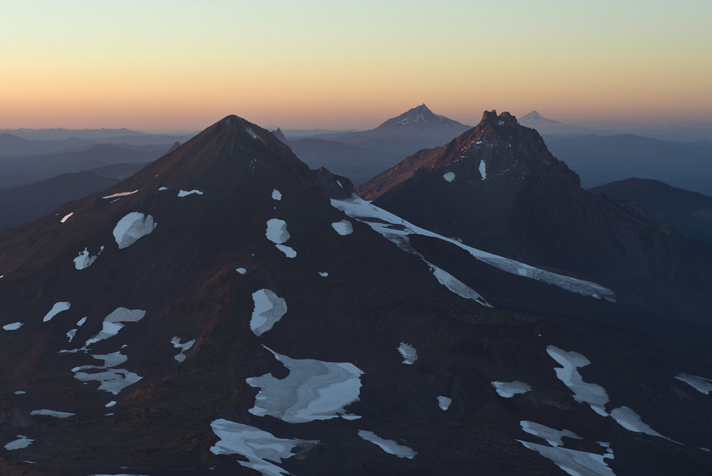
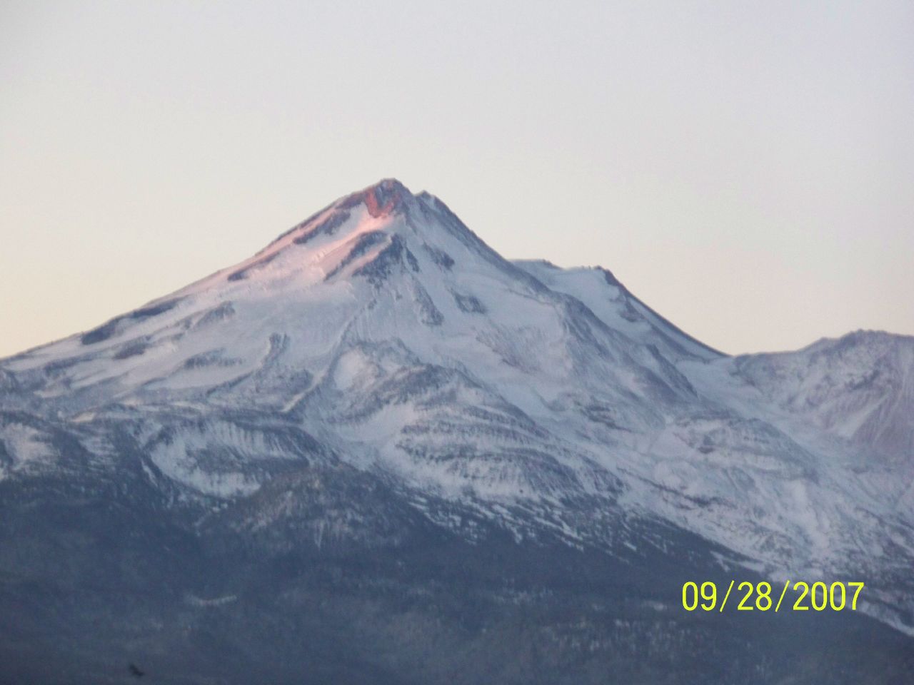
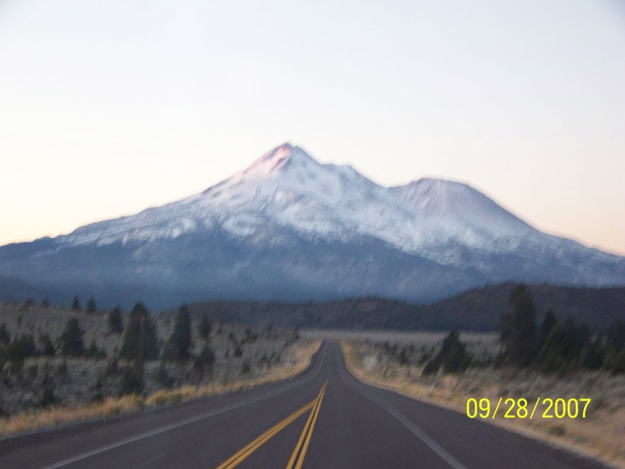
The Cascade Volcanoes

Lower Kentucky Falls, Oregon
kodack1 124

kodack1 126
kodack1 125
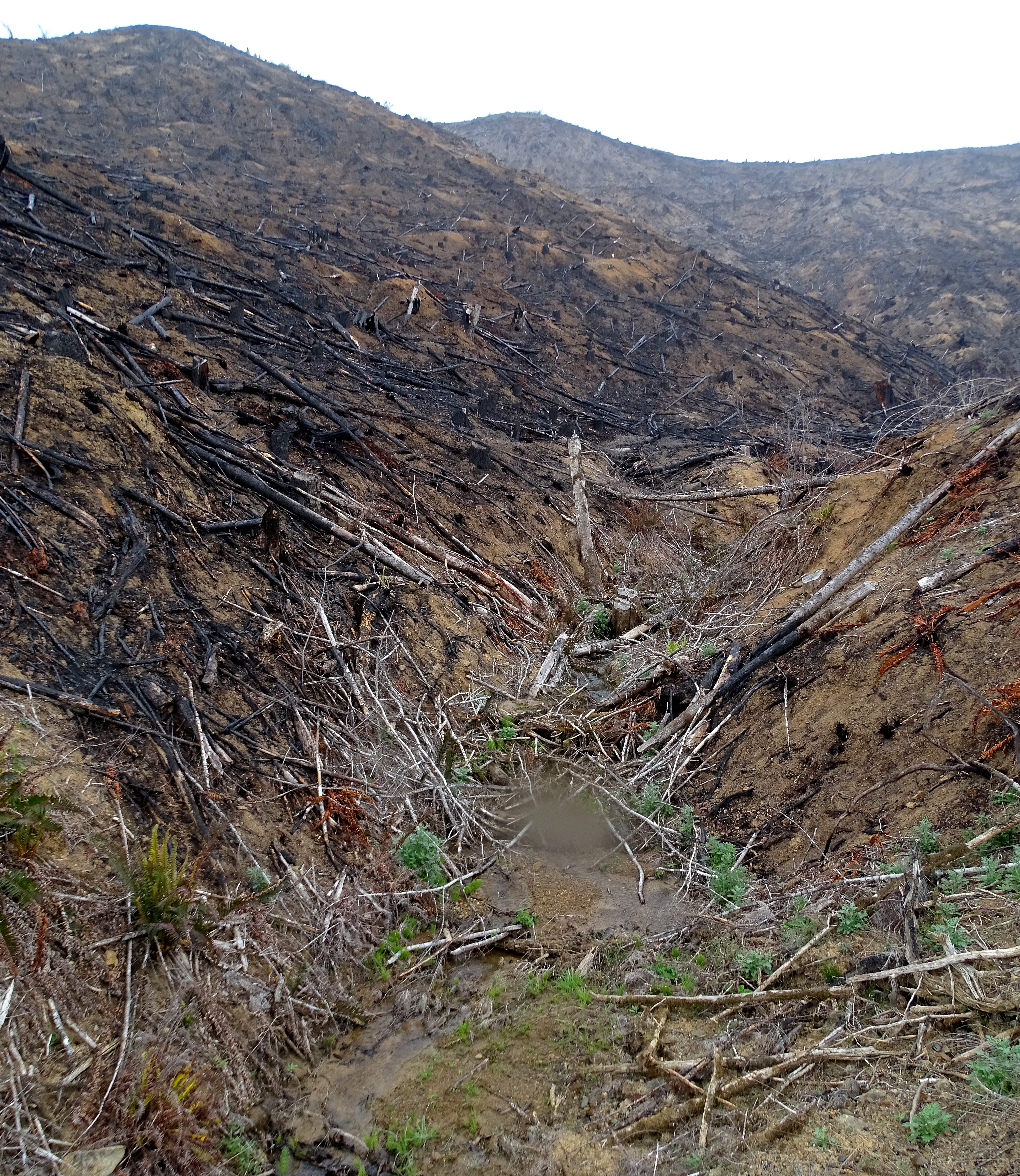
Small creek, water in foreground, unprotected by Oregon's weak logging laws
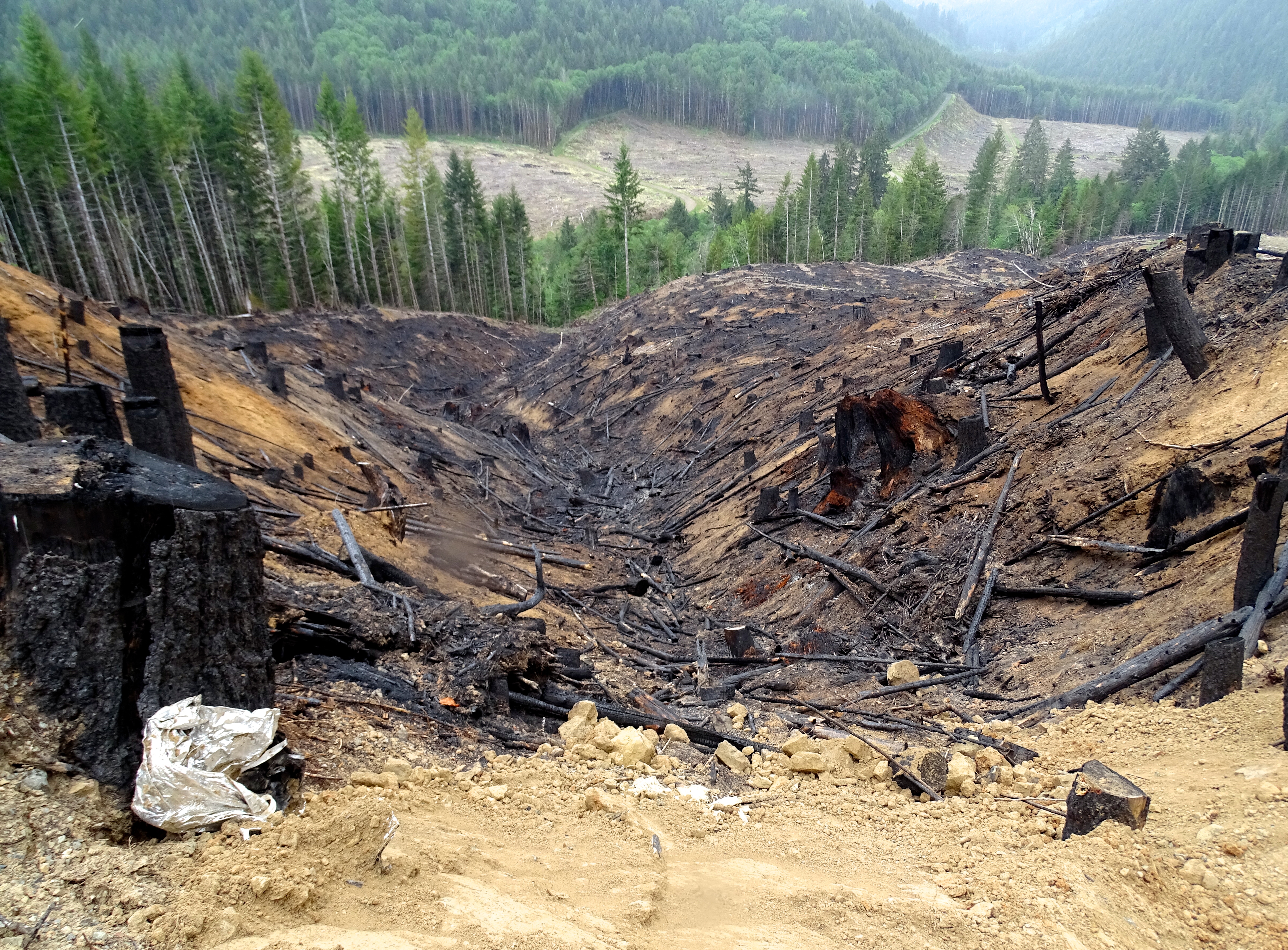
Entire 640-acre sections clearcut by timber barrons, and they are forgiven their harvest tax.
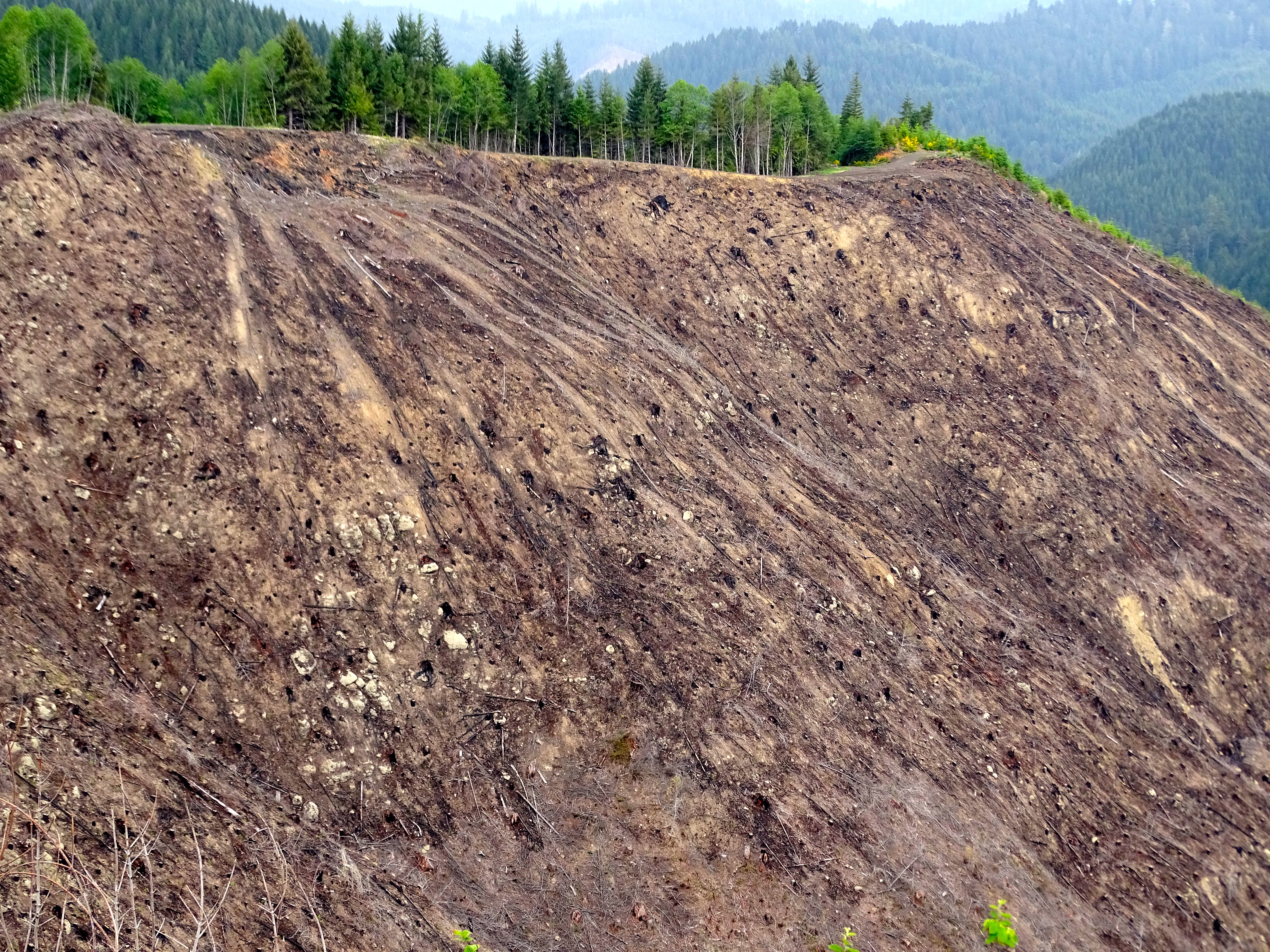
This entire section of forest, north of Elkton ORegon, has recently been clearcut.

Entire sections clearcut by industrial land owners who are forgiven their harvest tax.
Topographic Map of Upper Smith River Rd, Drain, OR, USA
Find elevation by address:

Places near Upper Smith River Rd, Drain, OR, USA:
Smith River
9667 Upper Smith River Rd
525 Main St
Elkton
Oregon 138
Vaughn
Wildcat Creek
19648 Or-126
Walton Cemetery
Walton
Drain
Wildcat Creek (austa) Bridge
Badger Mountain
Hadleyville
Crow
86618 Territorial Hwy
Noti
22856 Noti Loop Rd
83087 Simonsen Rd
88723 Knight Rd
Recent Searches:
- Elevation of Beall Road, Beall Rd, Florida, USA
- Elevation of Leguwa, Nepal
- Elevation of County Rd, Enterprise, AL, USA
- Elevation of Kolchuginsky District, Vladimir Oblast, Russia
- Elevation of Shustino, Vladimir Oblast, Russia
- Elevation of Lampiasi St, Sarasota, FL, USA
- Elevation of Elwyn Dr, Roanoke Rapids, NC, USA
- Elevation of Congressional Dr, Stevensville, MD, USA
- Elevation of Bellview Rd, McLean, VA, USA
- Elevation of Stage Island Rd, Chatham, MA, USA