Elevation of Walton, OR, USA
Location: United States > Oregon > Lane County >
Longitude: -123.58537
Latitude: 44.0306767
Elevation: 139m / 456feet
Barometric Pressure: 100KPa
Elevation Map:
Satellite Map:
Related Photos:
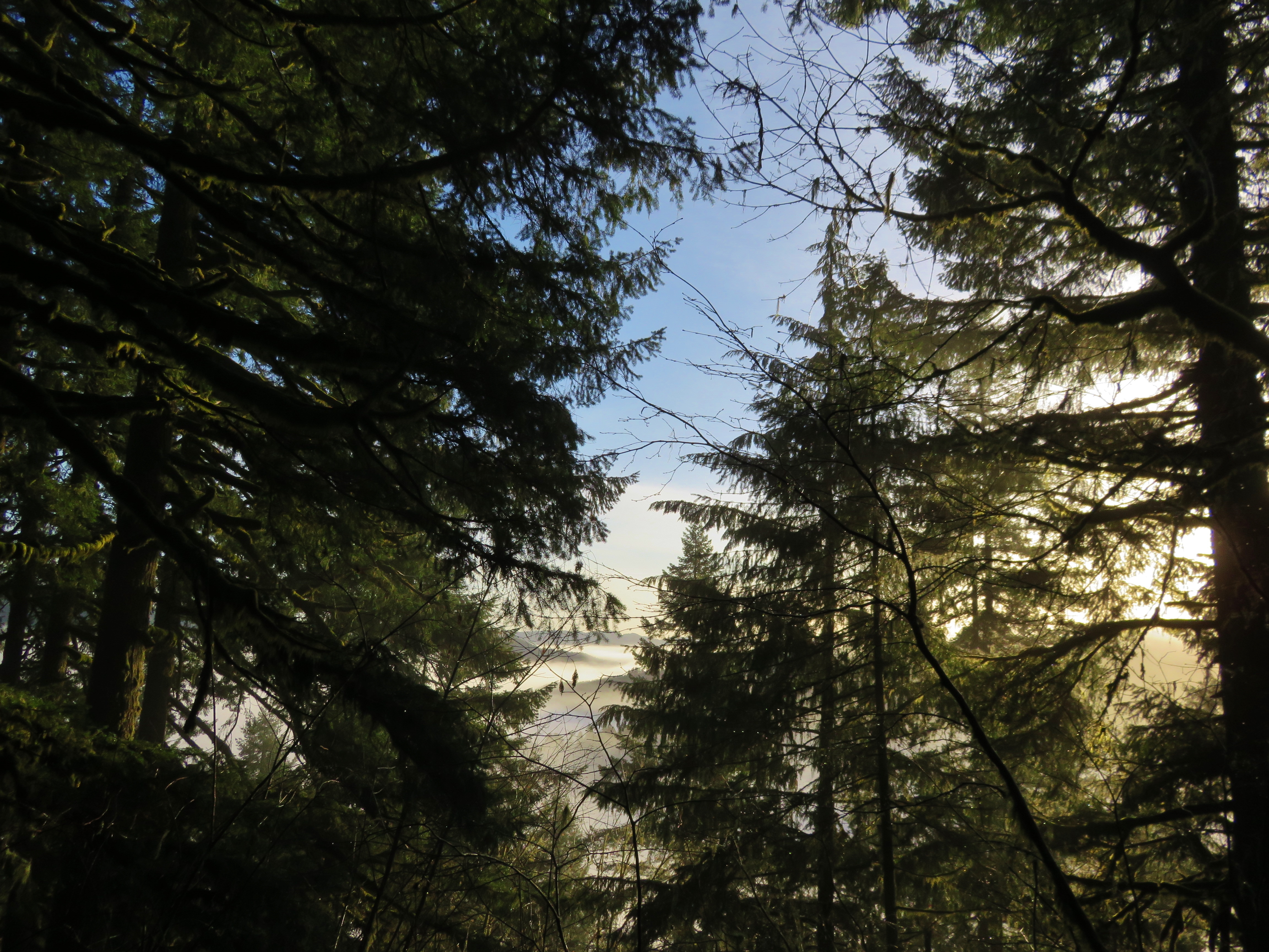
View from the summit of the Old Growth Ridge Trail
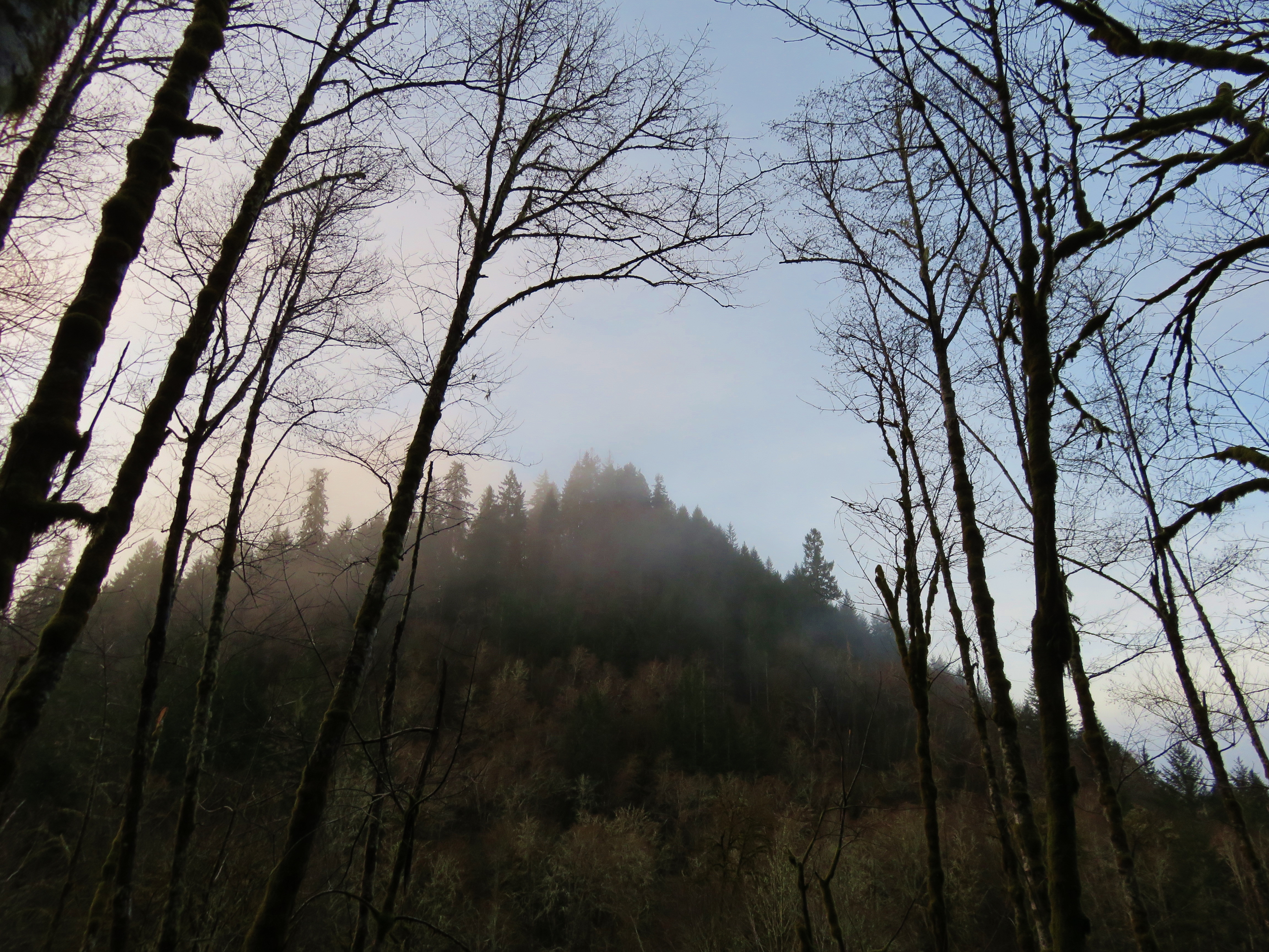
View from the Old Growth Ridge Trail
View from the summit of the Old Growth Ridge Trail

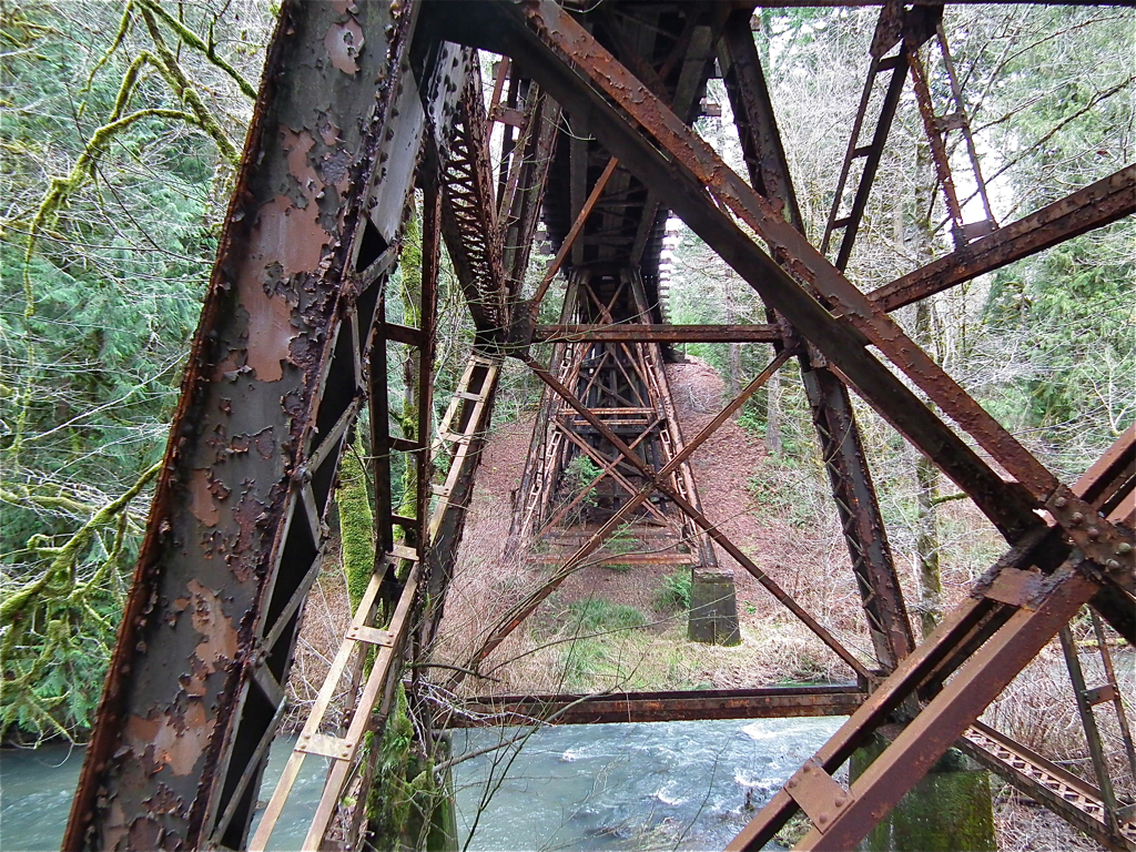
Knowles Creek Tunnel
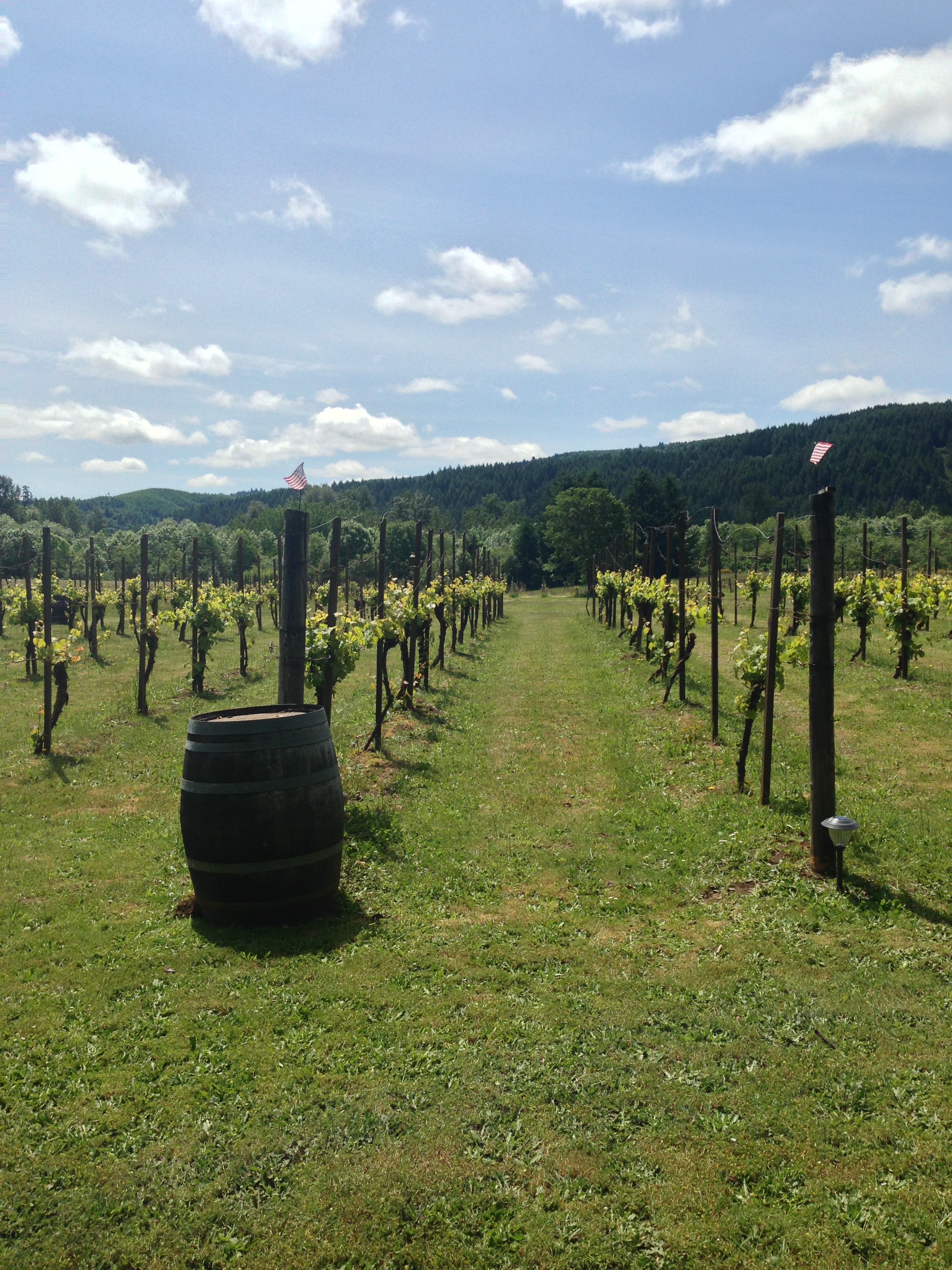
Memorial Weekend Wine Tasting

20081102-_MG_2079
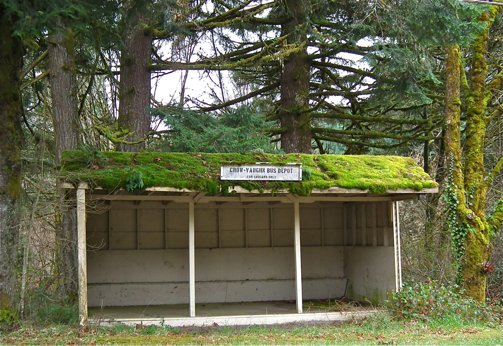
COPR Vaughn Bridge
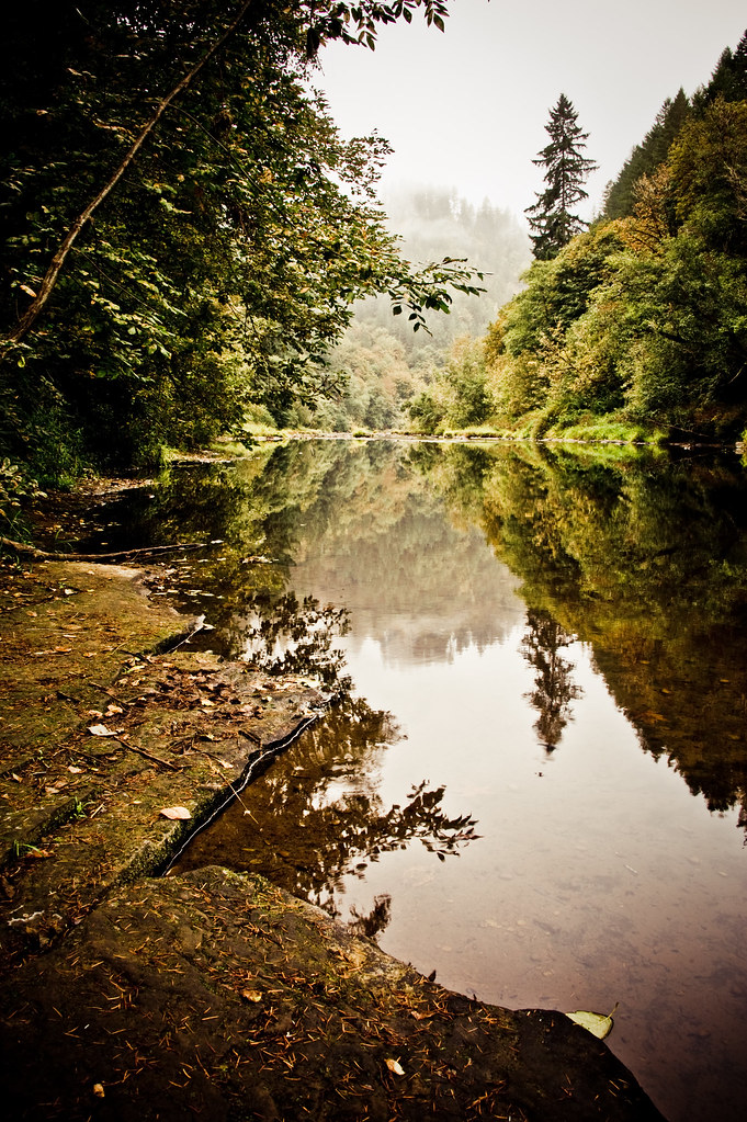
Siuslaw River
a2001-14-01

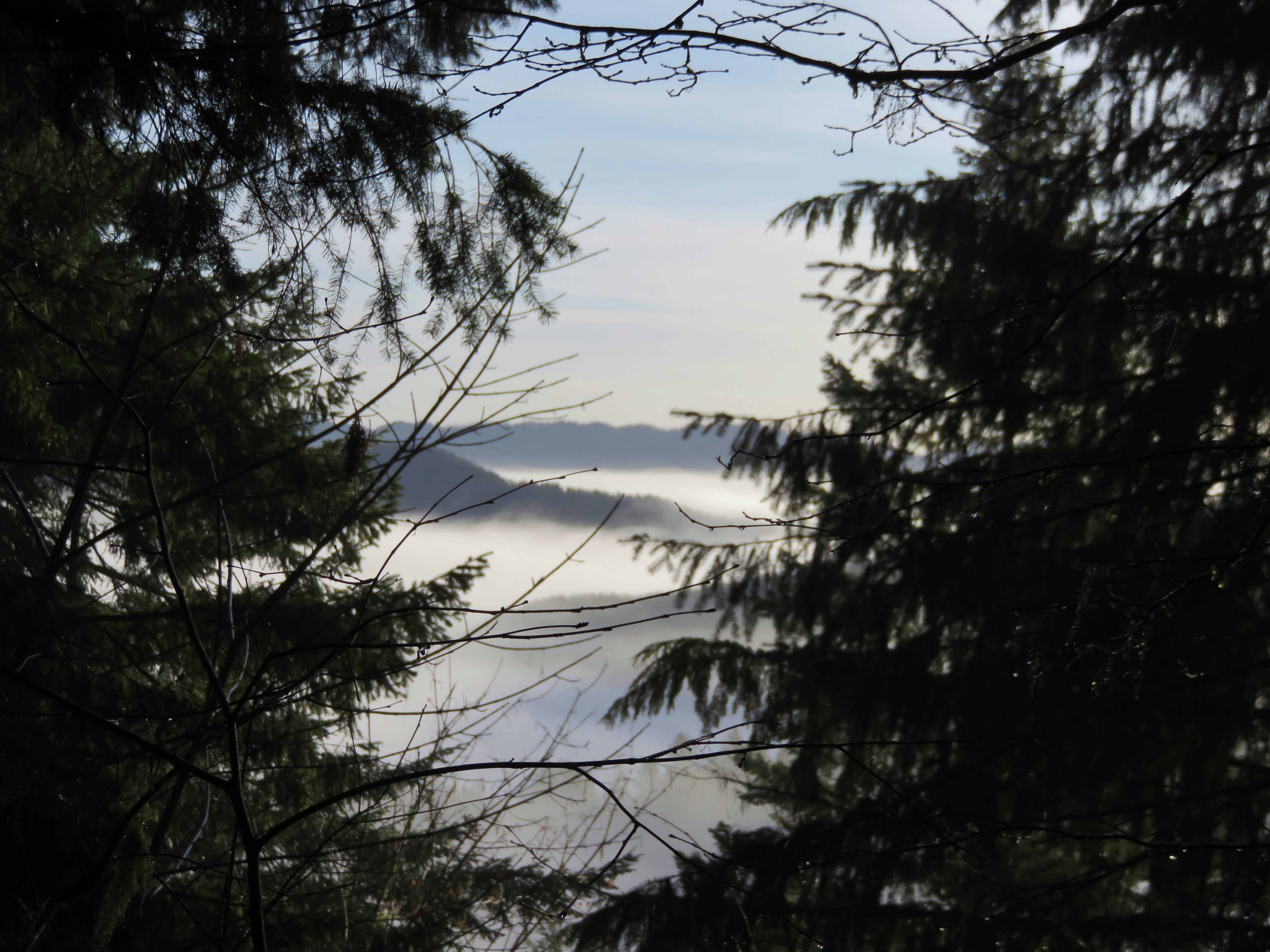
Foggy Treetops
The Oregon Riverways
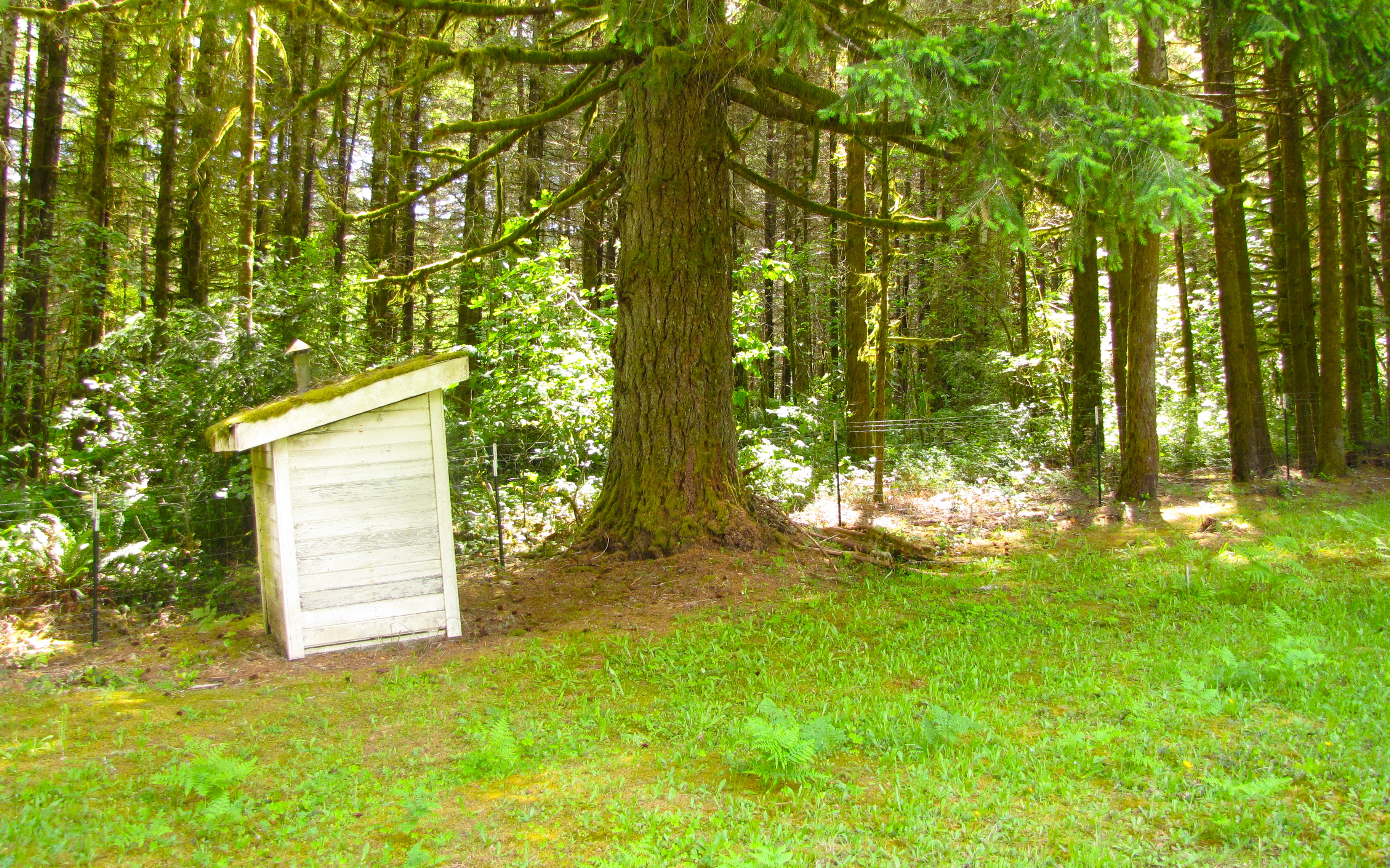
walton cemetery
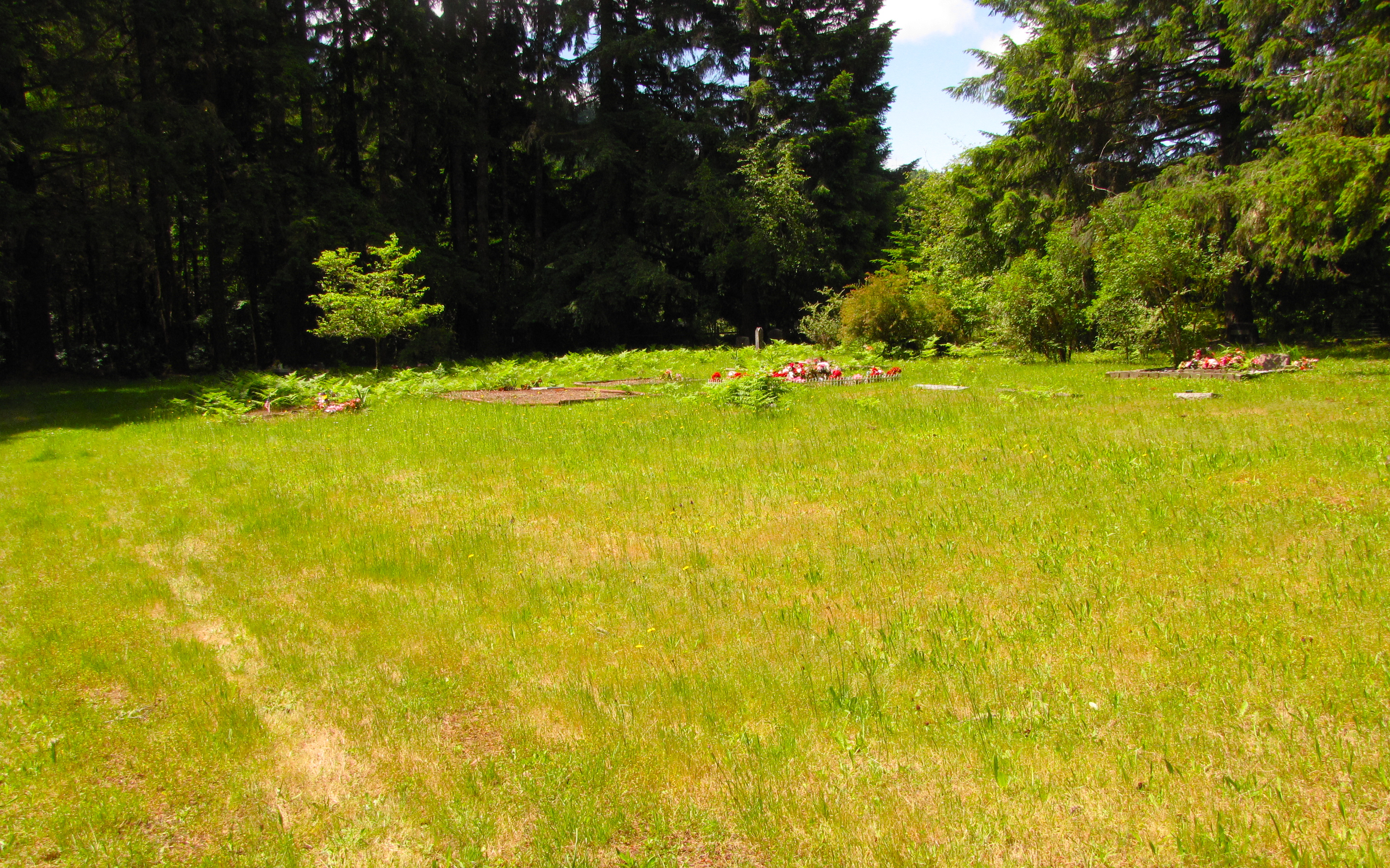
walton cemetery
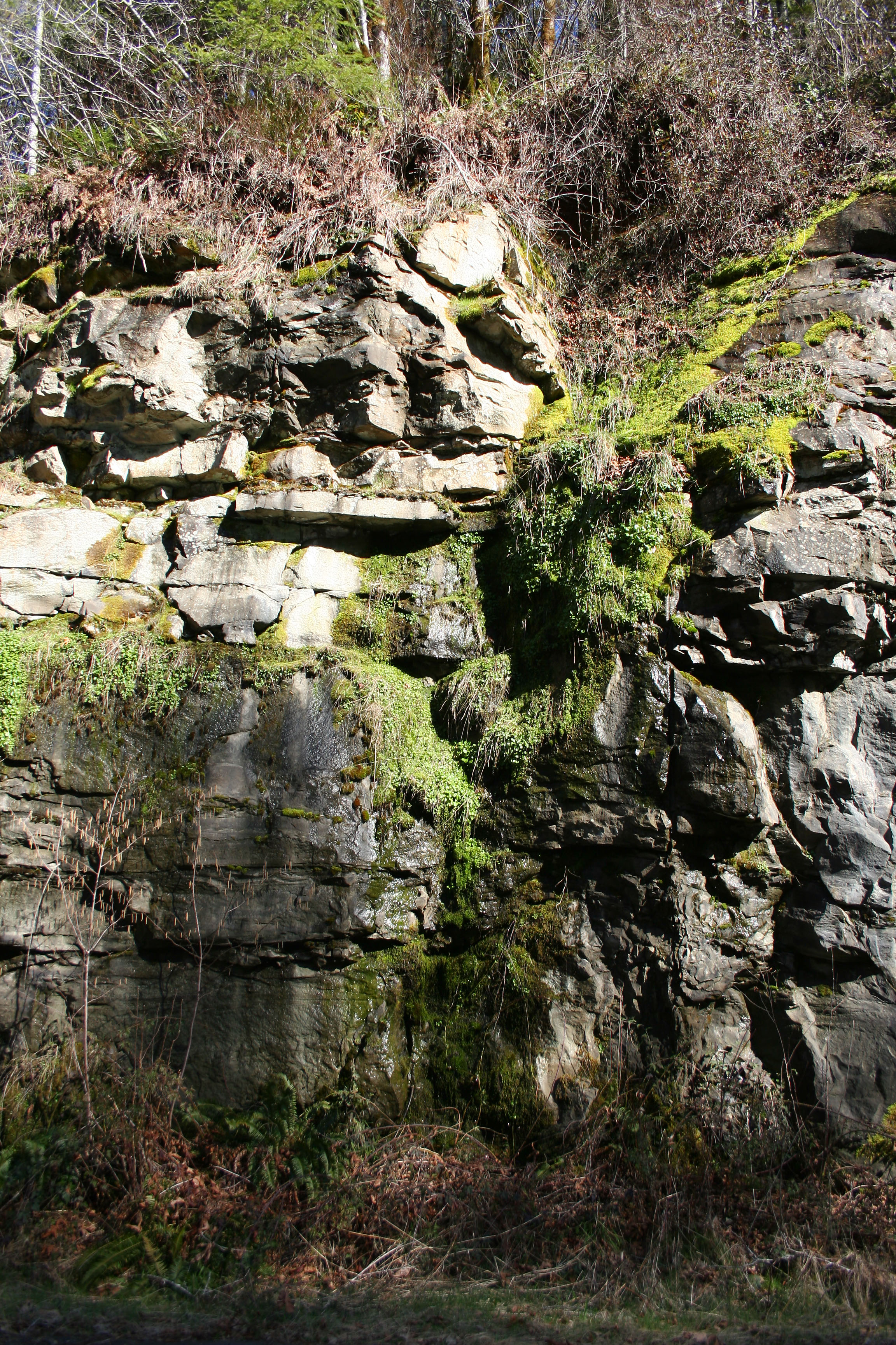
Moss Falls
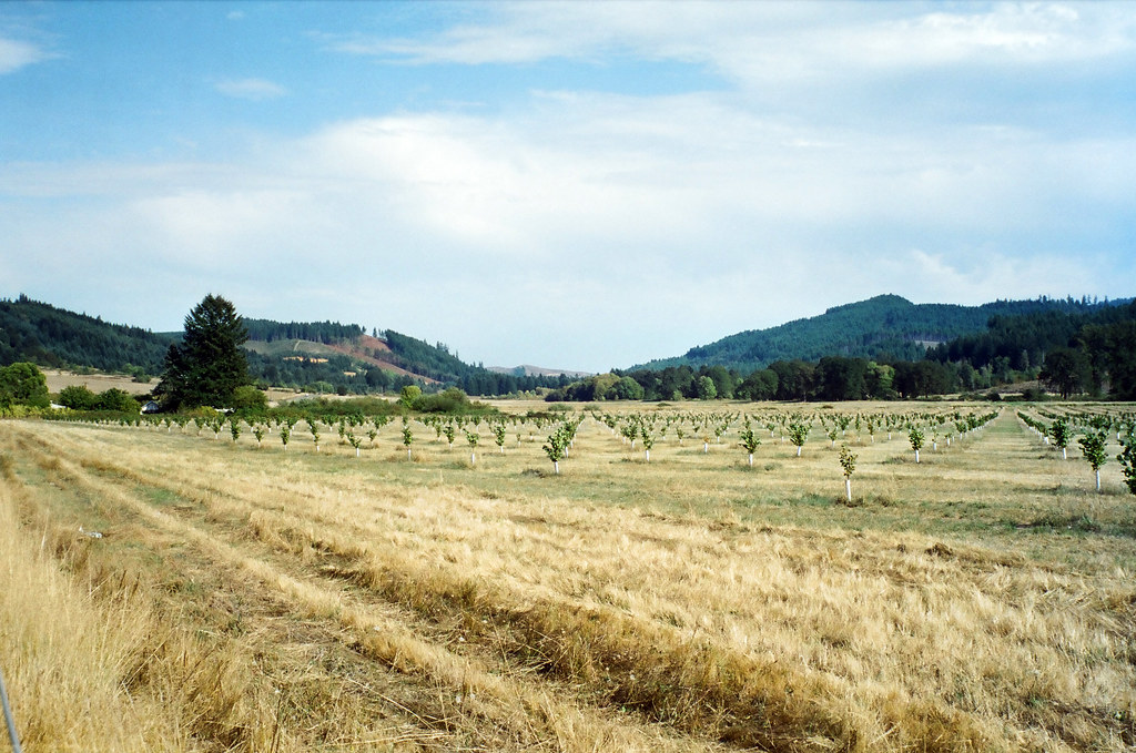
Hayes & Vaughn Rd.

walton cemetery
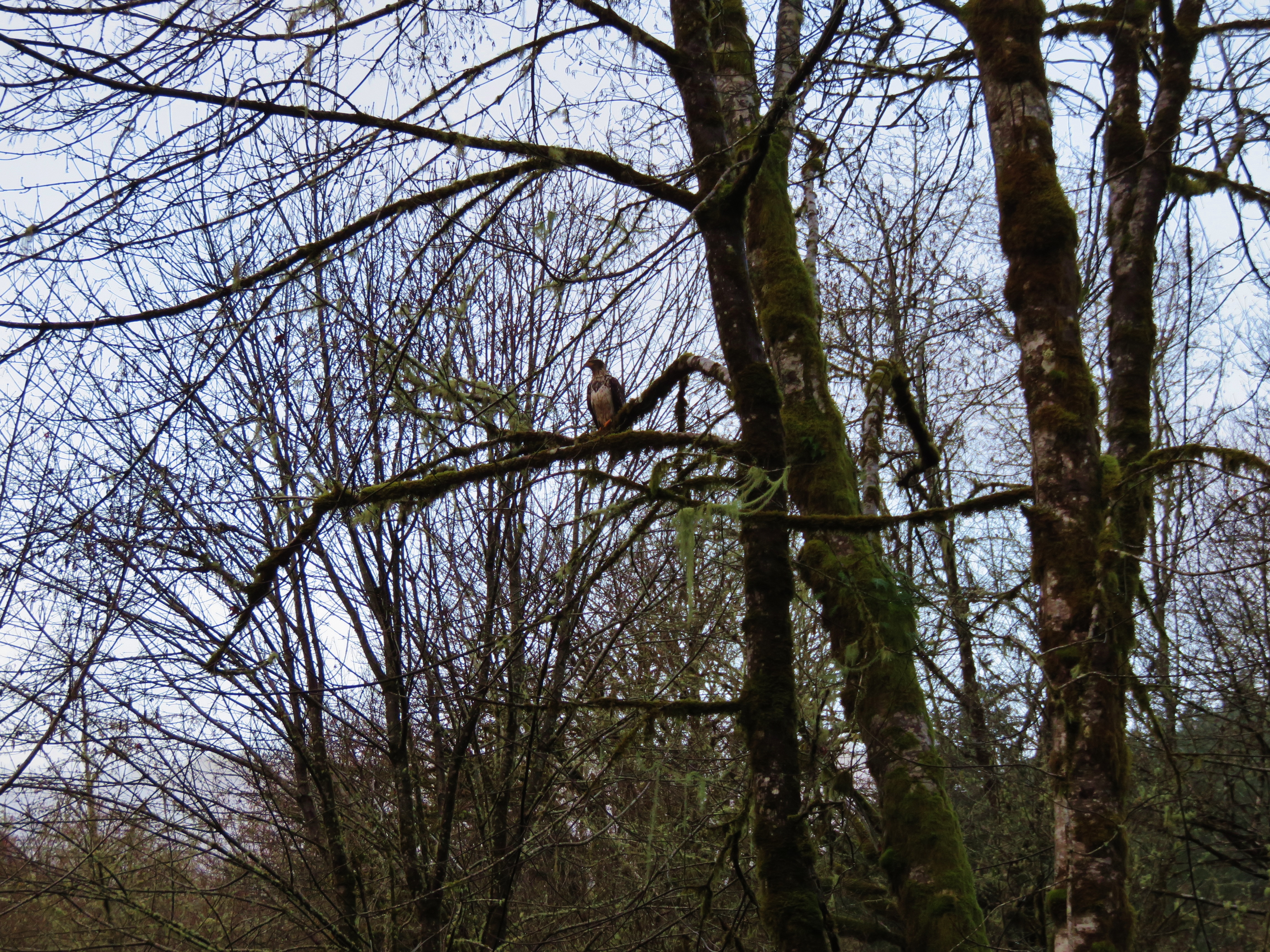
Bald Eagle
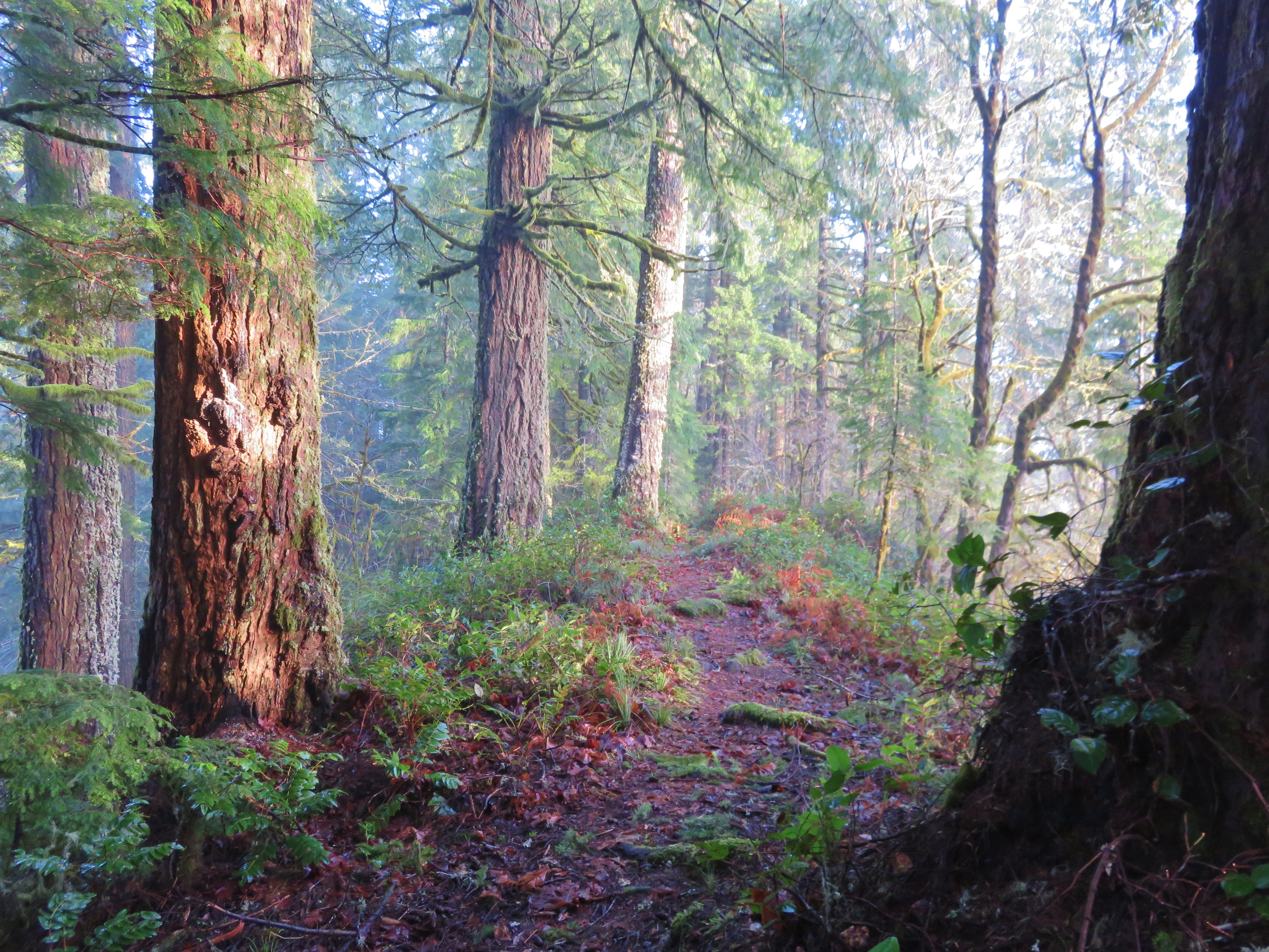
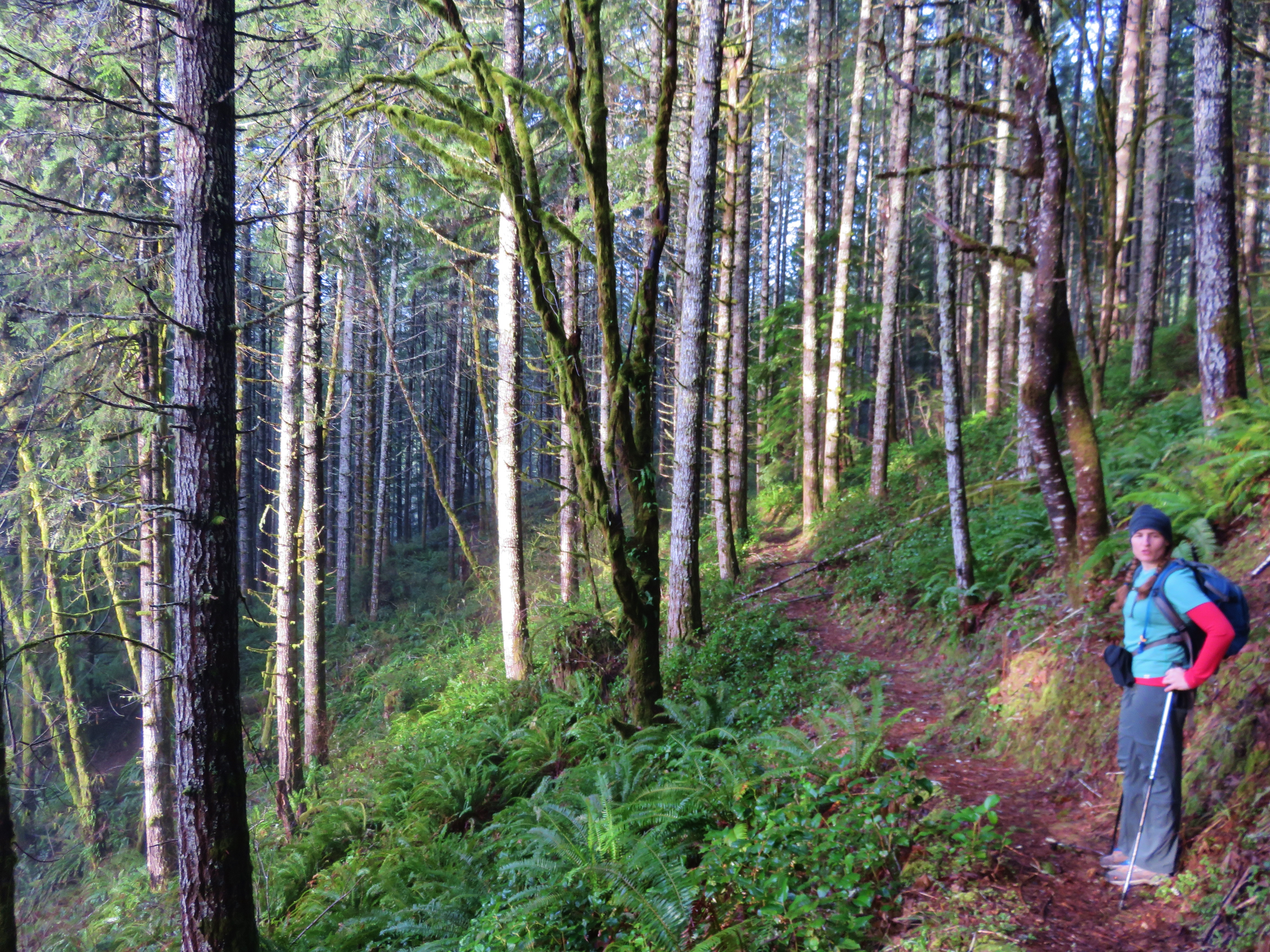
Old Growth Ridge Trail
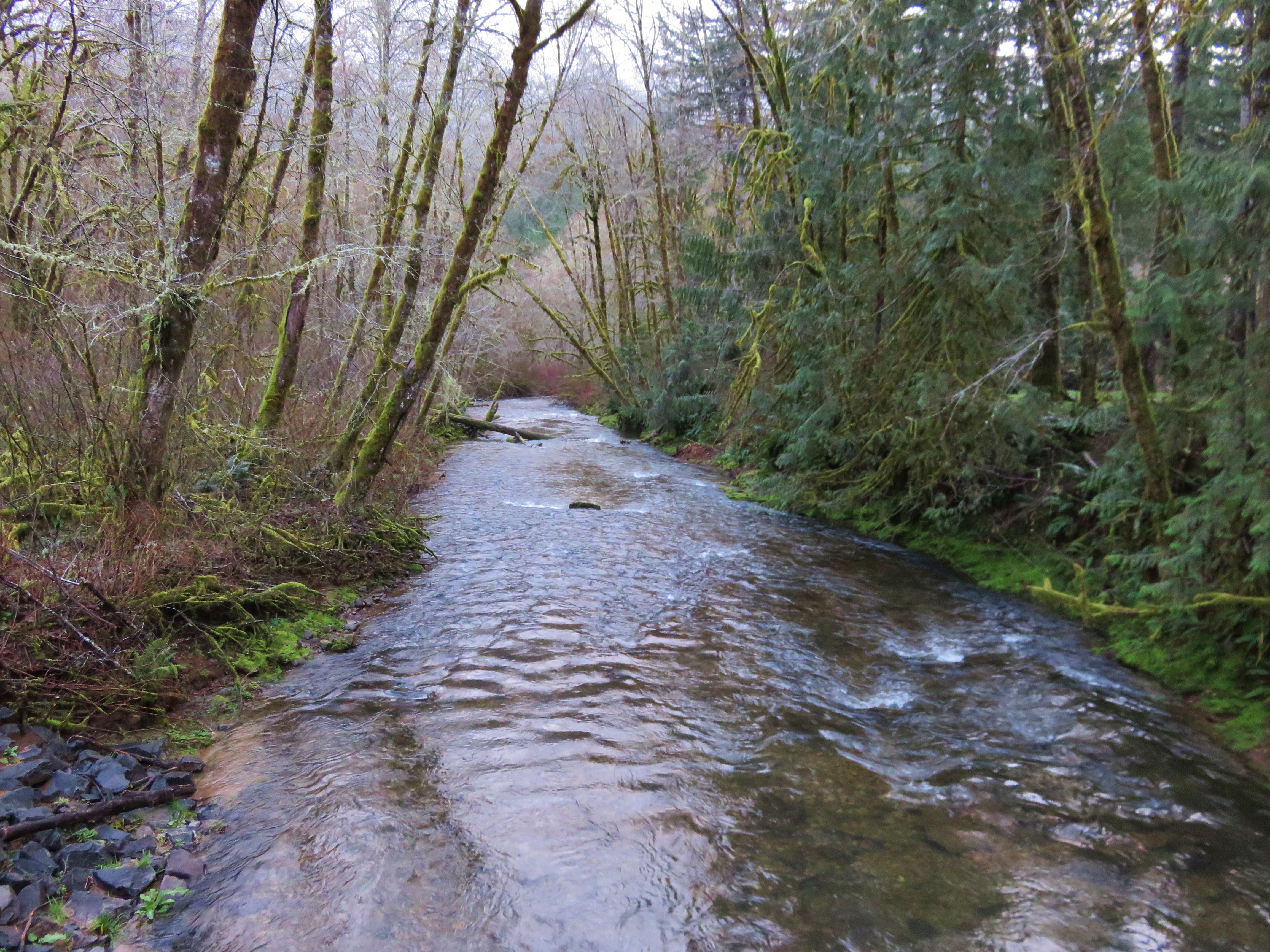
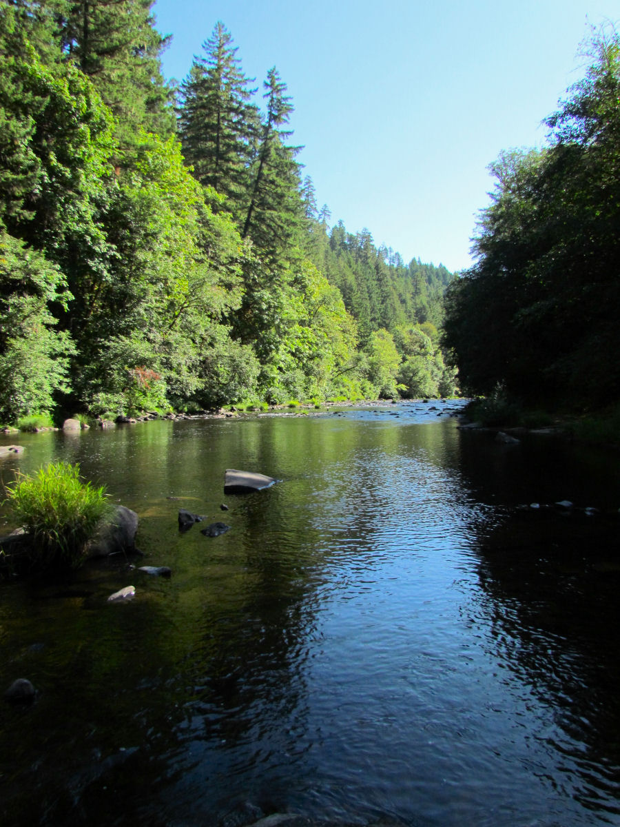
Whittaker Creek
Old Growth Ridge Trail
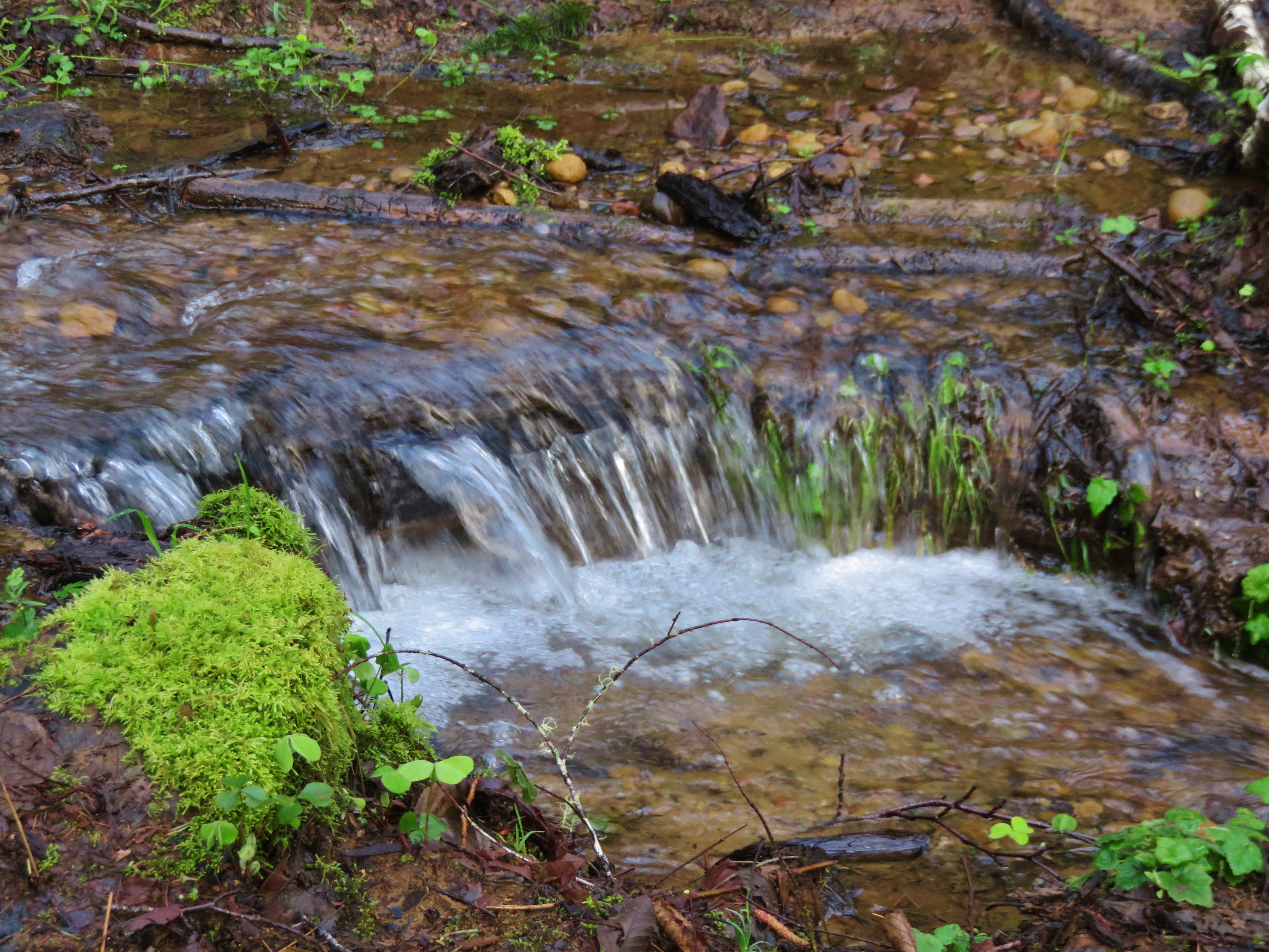
Stream crossing the Armantrout Loop Trail
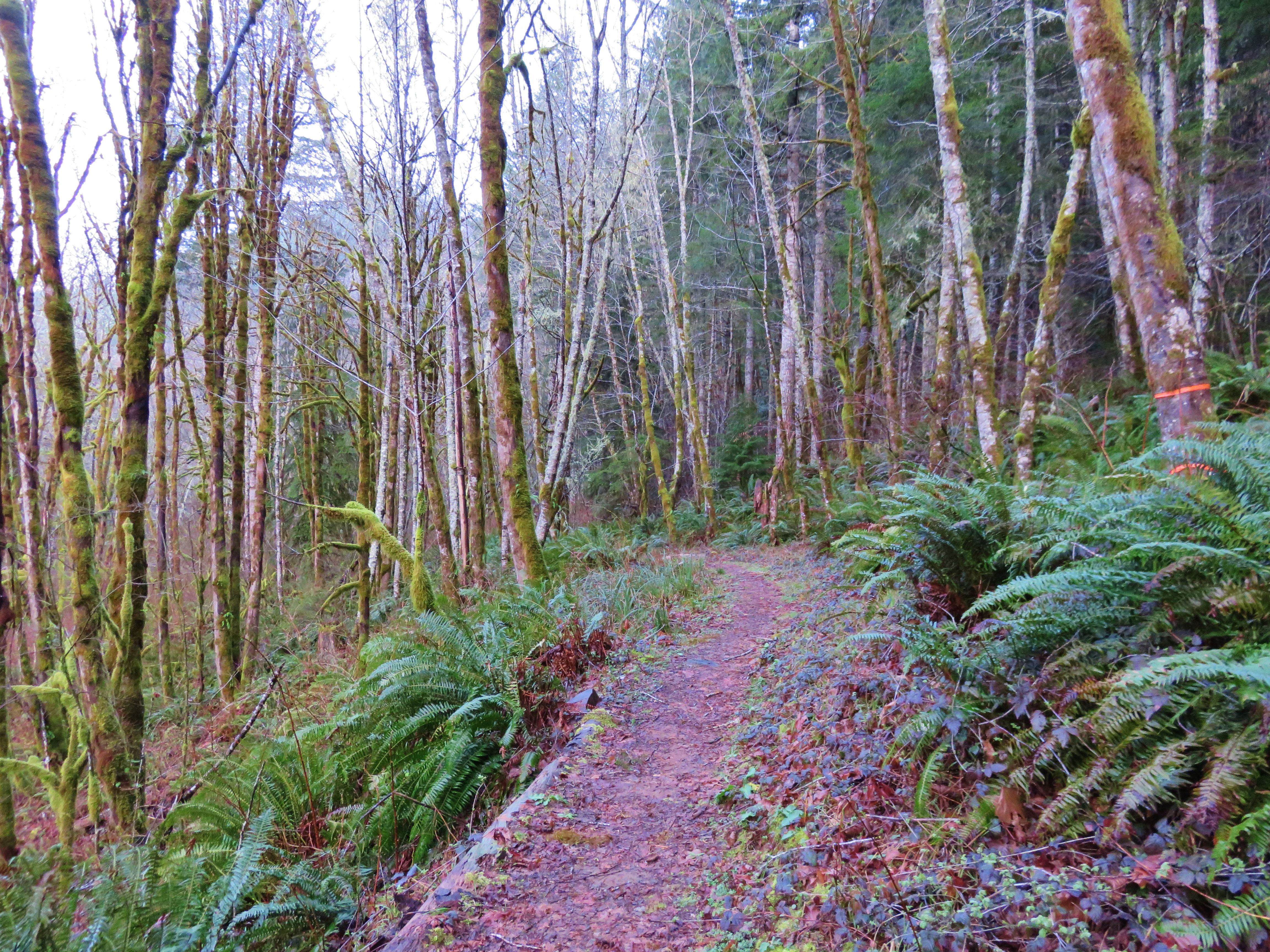
Armantrout Loop Trail
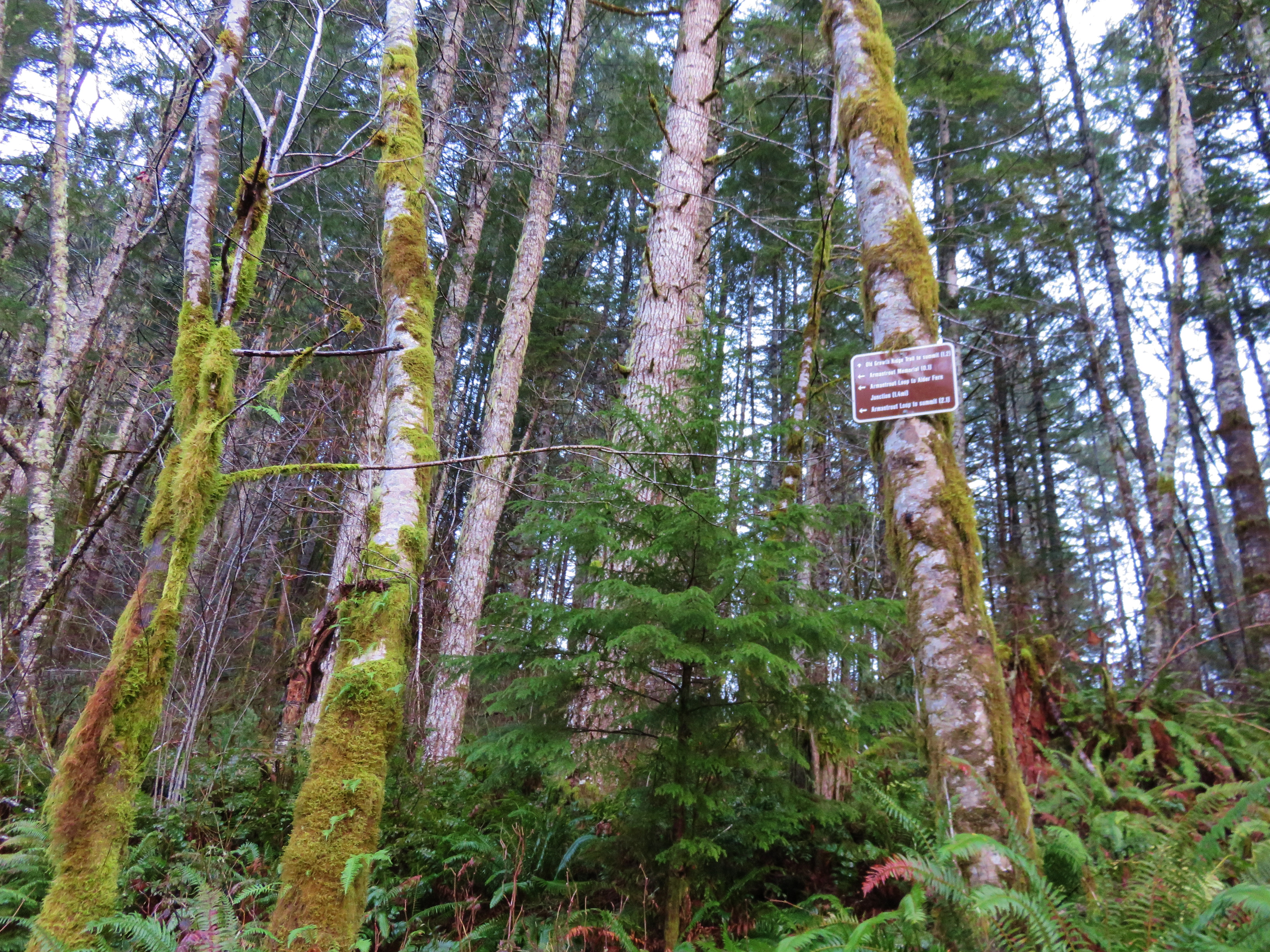
Trail sign along the Old Growth Ridge Trail
Topographic Map of Walton, OR, USA
Find elevation by address:

Places in Walton, OR, USA:
Places near Walton, OR, USA:
Walton Cemetery
19648 Or-126
Chickahominy Cemetery
Wildcat Creek
Wildcat Creek (austa) Bridge
Badger Mountain
Greenleaf
OR-36, Deadwood, OR, USA
Noti
Triangle Lake
OR-36, Blachly, OR, USA
22201 A F Allison Rd
22201 A F Allison Rd
19652 Or-36
Vaughn
22856 Noti Loop Rd
88859 Knight Rd
88723 Knight Rd
Blachly
Blachly
Recent Searches:
- Elevation of Corso Fratelli Cairoli, 35, Macerata MC, Italy
- Elevation of Tallevast Rd, Sarasota, FL, USA
- Elevation of 4th St E, Sonoma, CA, USA
- Elevation of Black Hollow Rd, Pennsdale, PA, USA
- Elevation of Oakland Ave, Williamsport, PA, USA
- Elevation of Pedrógão Grande, Portugal
- Elevation of Klee Dr, Martinsburg, WV, USA
- Elevation of Via Roma, Pieranica CR, Italy
- Elevation of Tavkvetili Mountain, Georgia
- Elevation of Hartfords Bluff Cir, Mt Pleasant, SC, USA