Elevation of OR-36, Deadwood, OR, USA
Location: United States > Oregon > Lane County > Deadwood >
Longitude: -123.66705
Latitude: 44.113947
Elevation: 108m / 354feet
Barometric Pressure: 100KPa
Elevation Map:
Satellite Map:
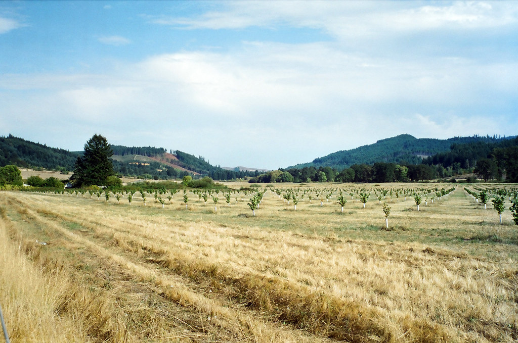
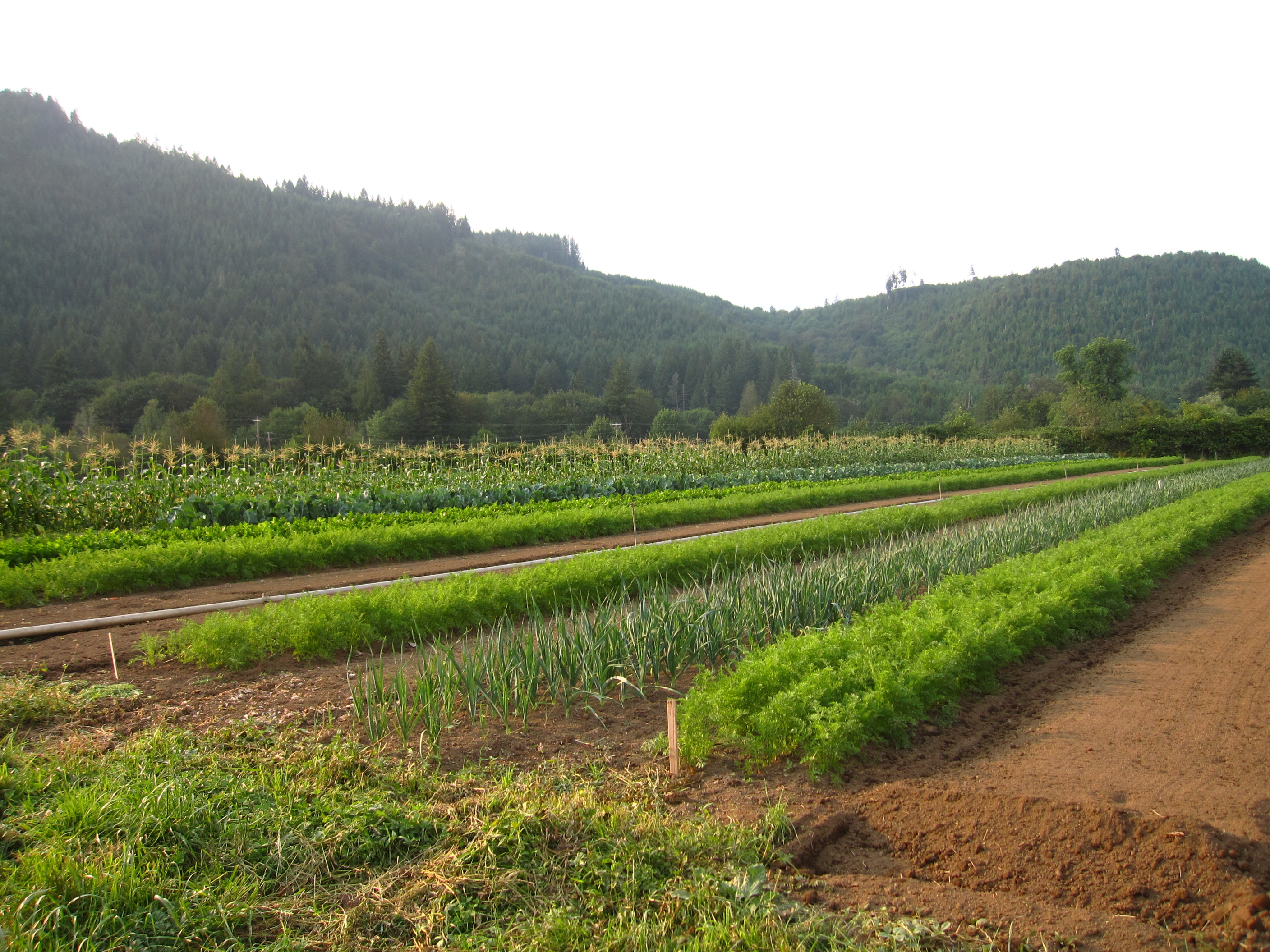
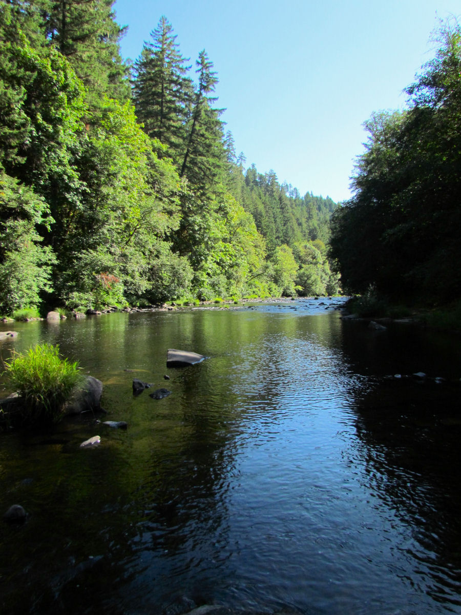
Related Photos:
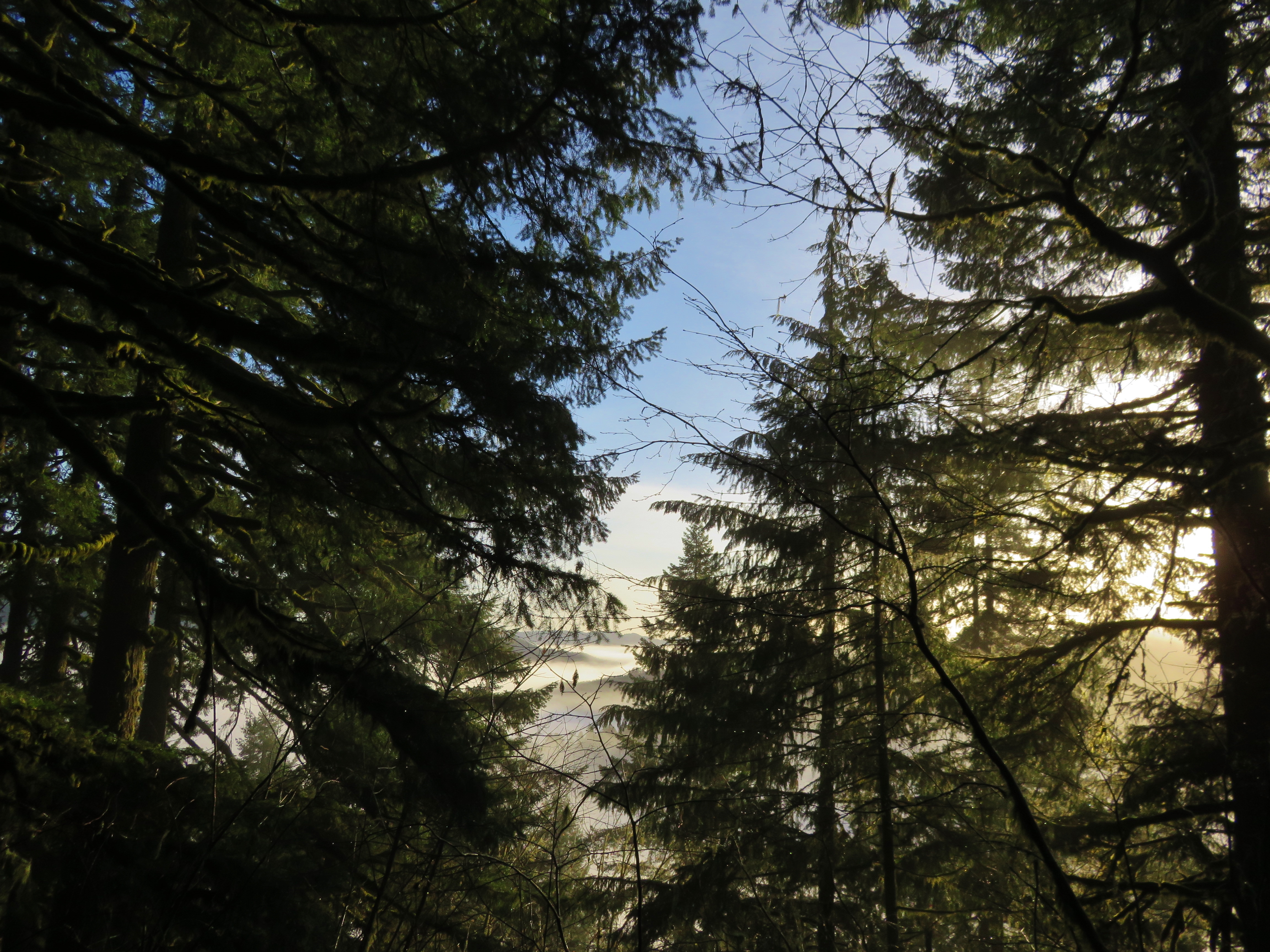
View from the summit of the Old Growth Ridge Trail
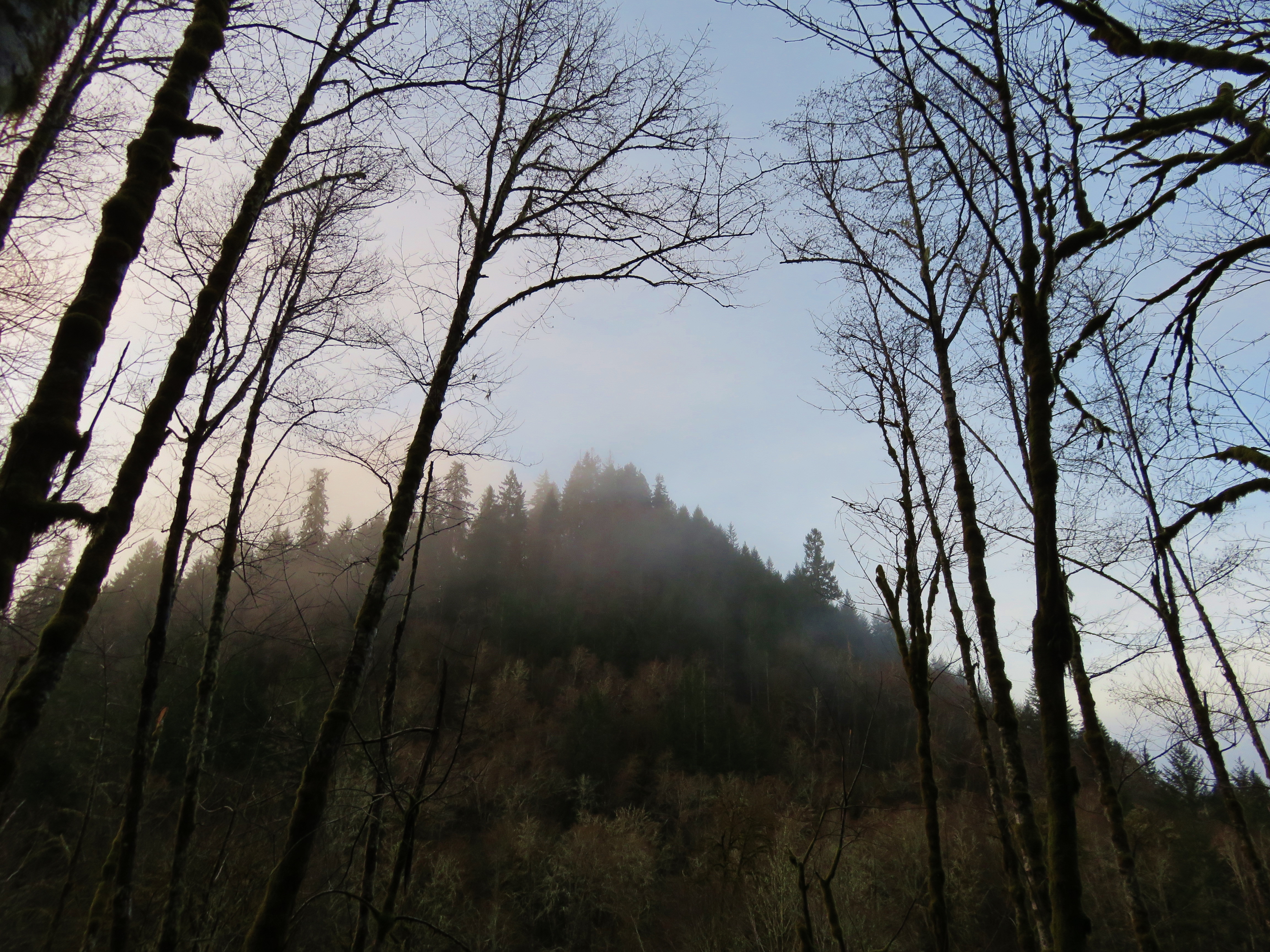
View from the Old Growth Ridge Trail
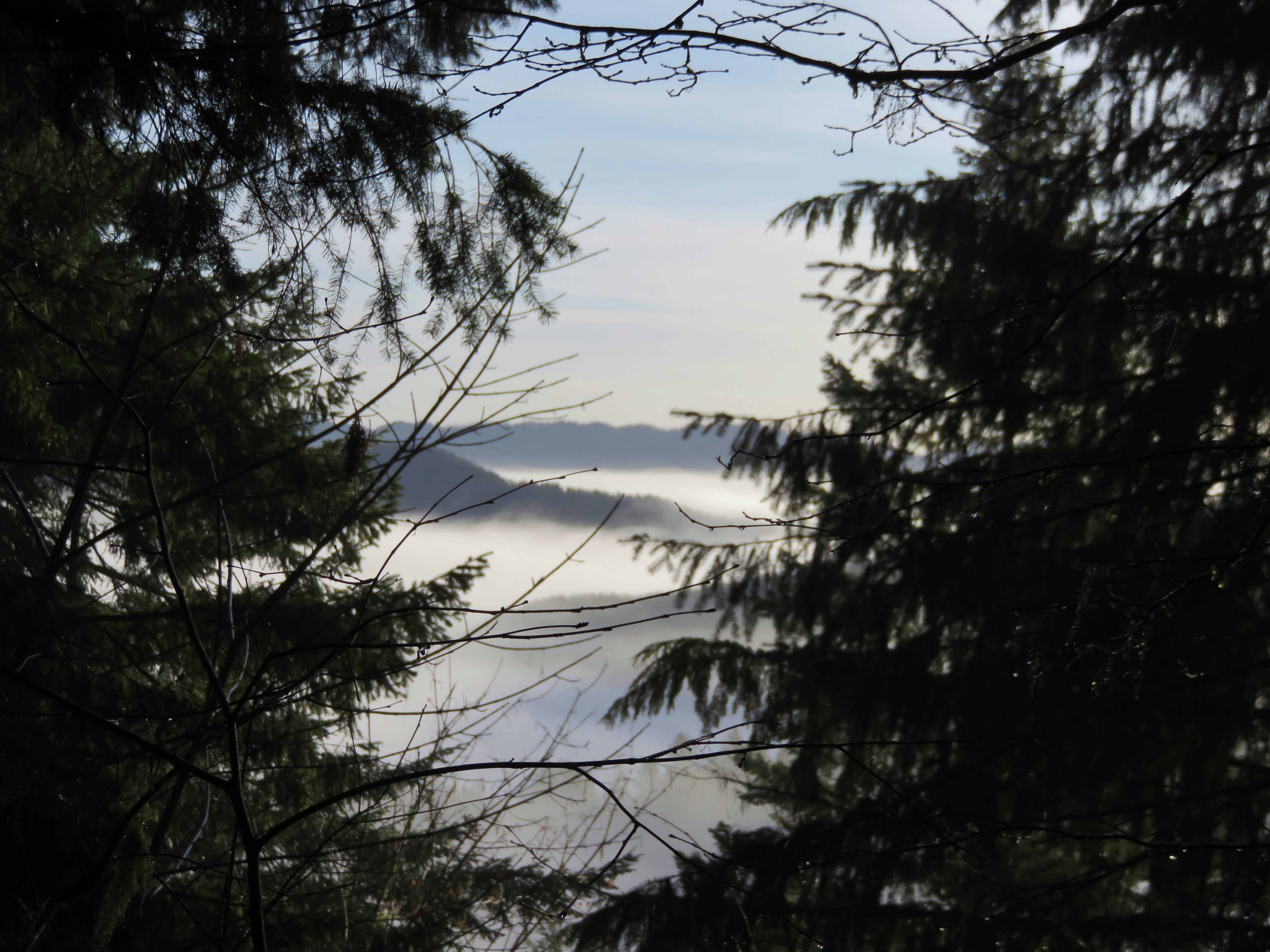
View from the summit of the Old Growth Ridge Trail

20081102-_MG_2079
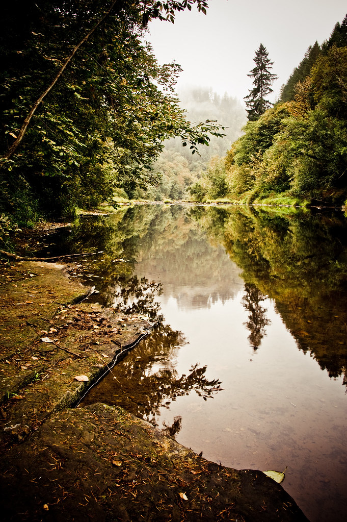
Siuslaw River
a2001-14-01
garden in fading light
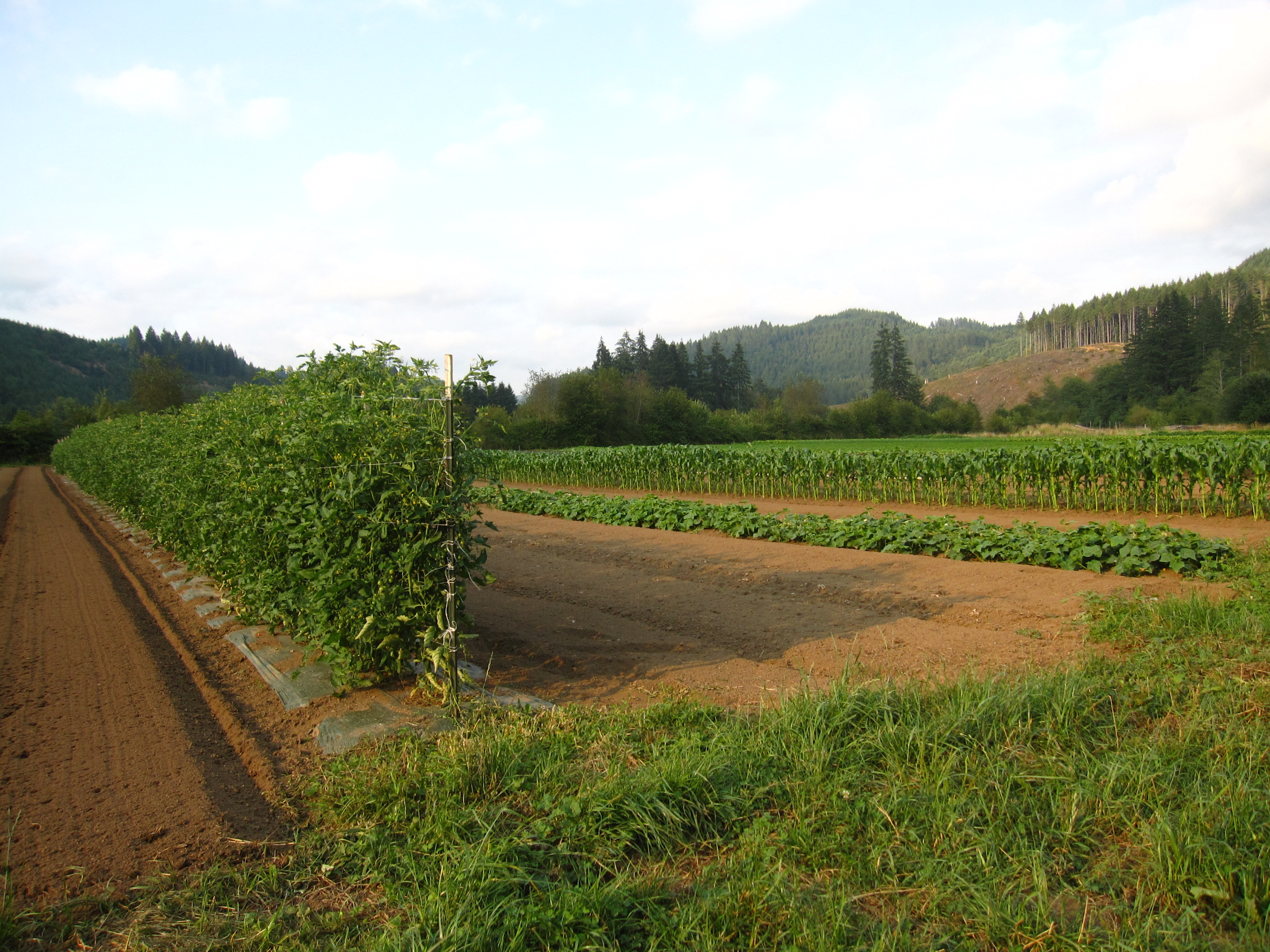
tomatoes and corn
The Oregon Riverways

Knowles Creek Tunnel
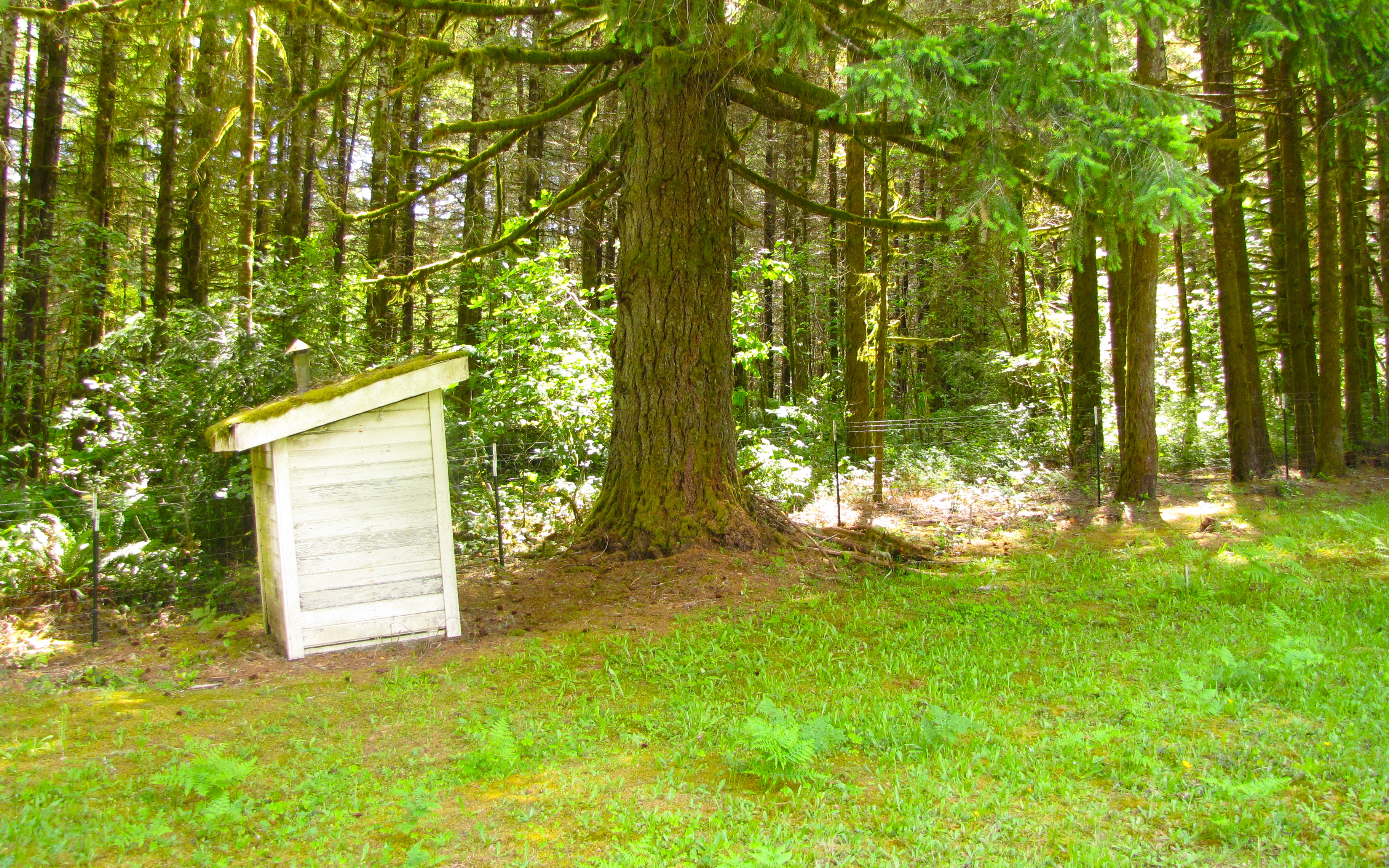
walton cemetery
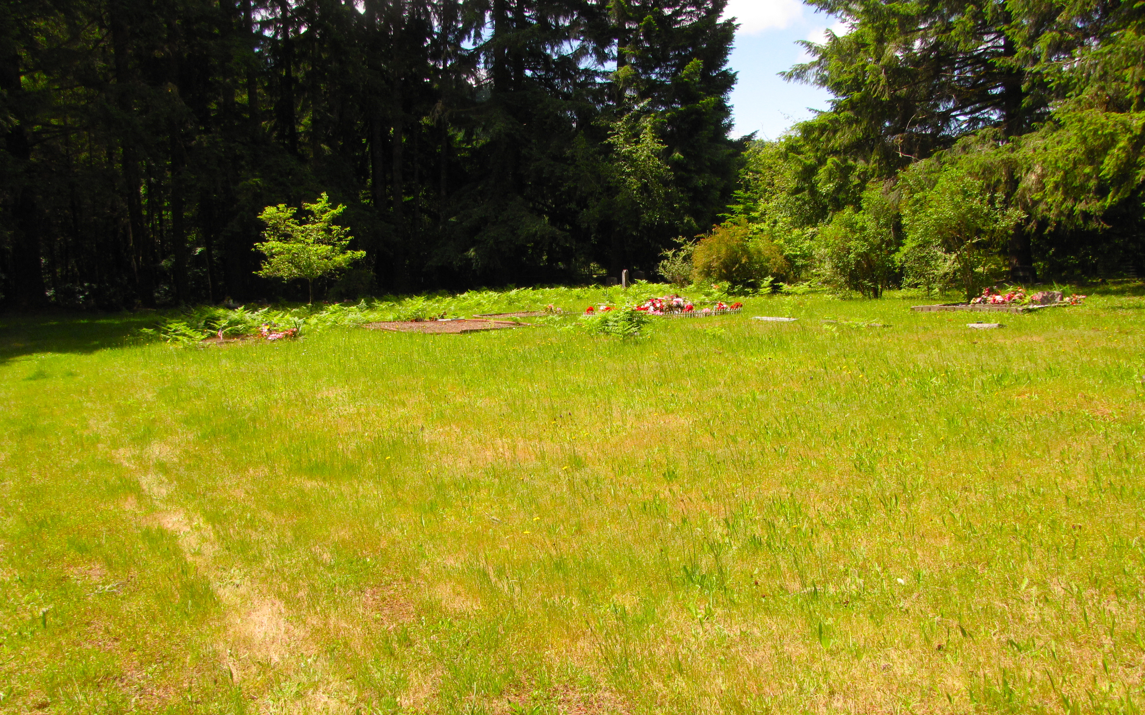
walton cemetery
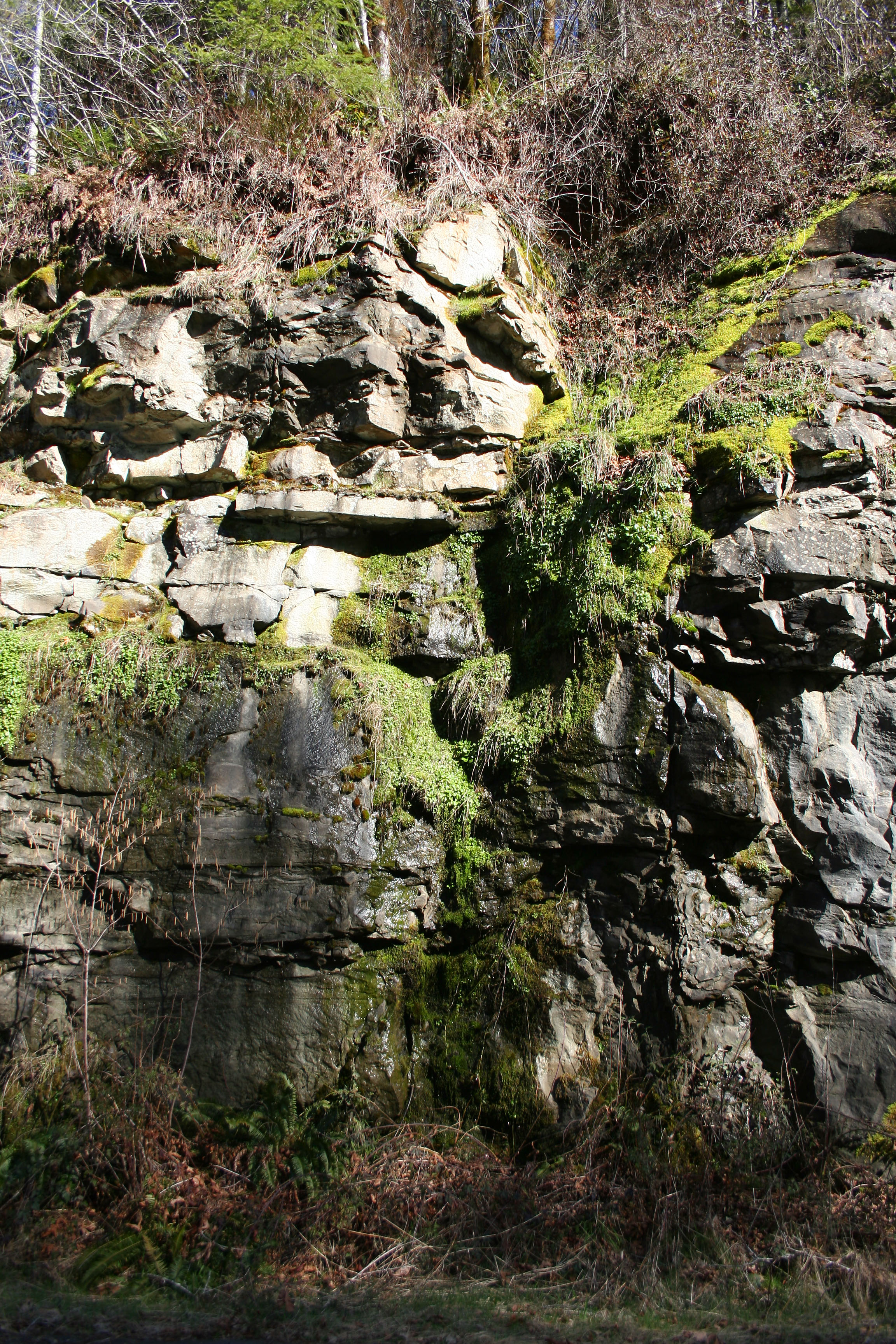
Moss Falls

walton cemetery
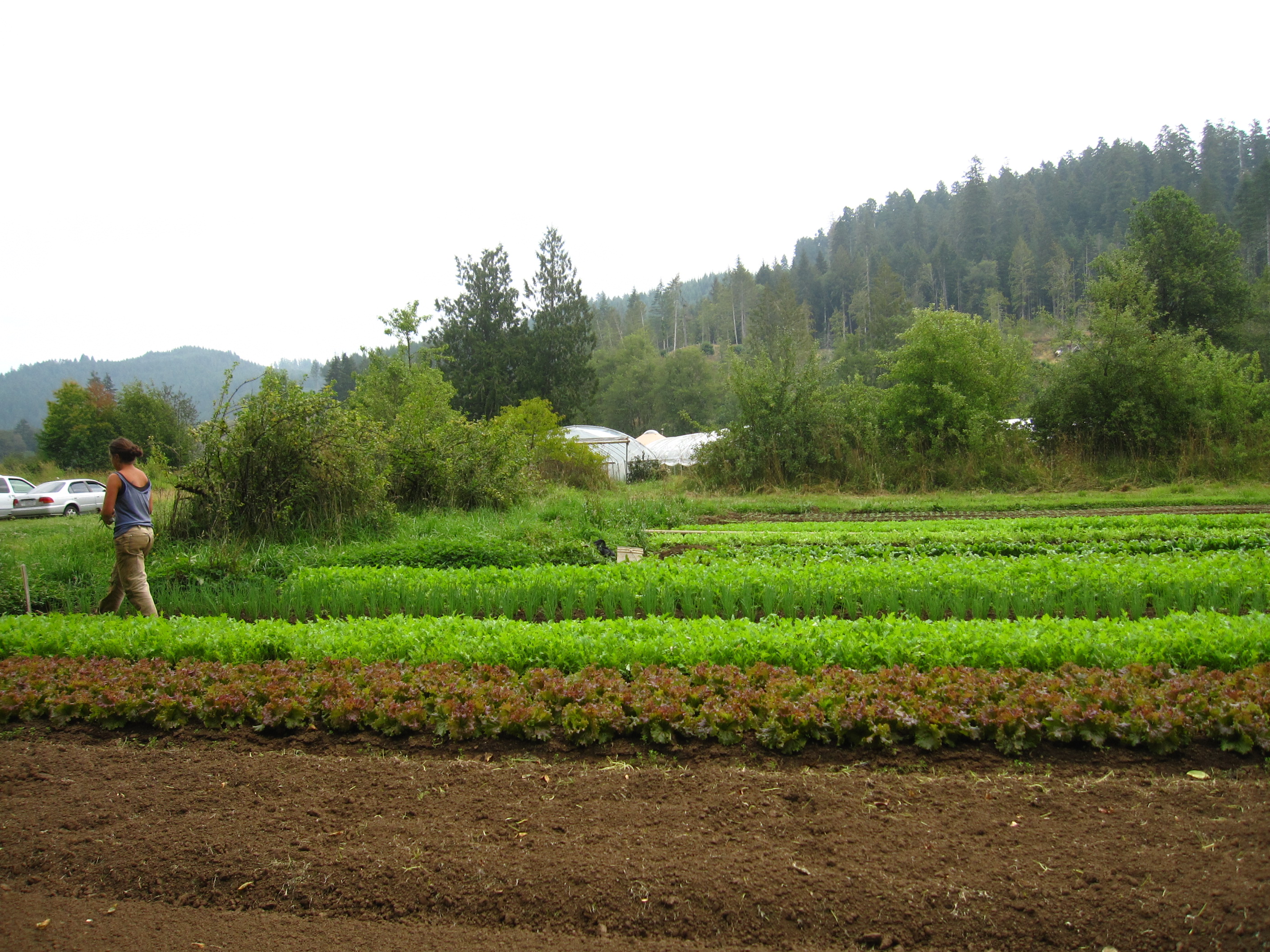
beds of lettuce

the pond
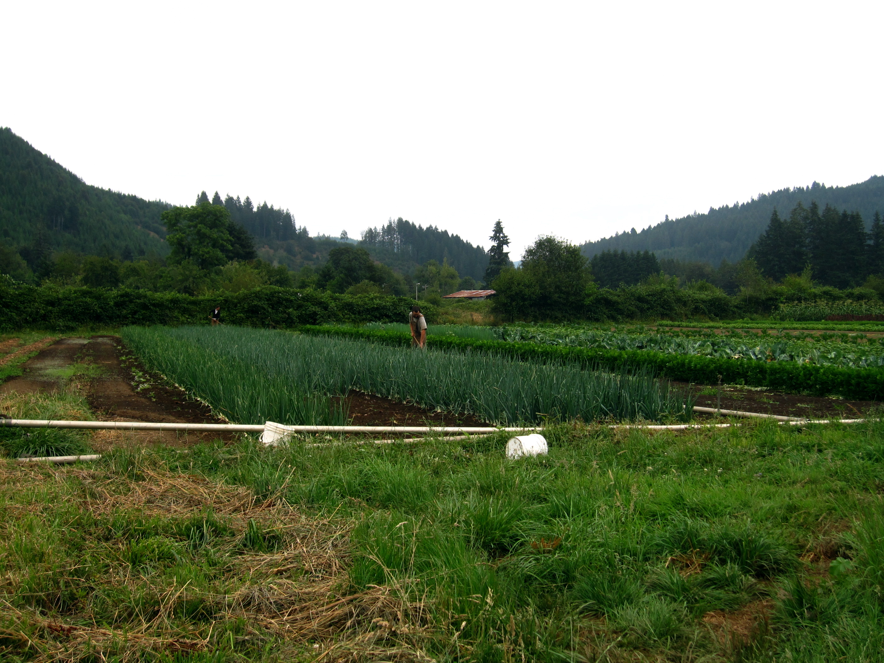
working on the onion beds
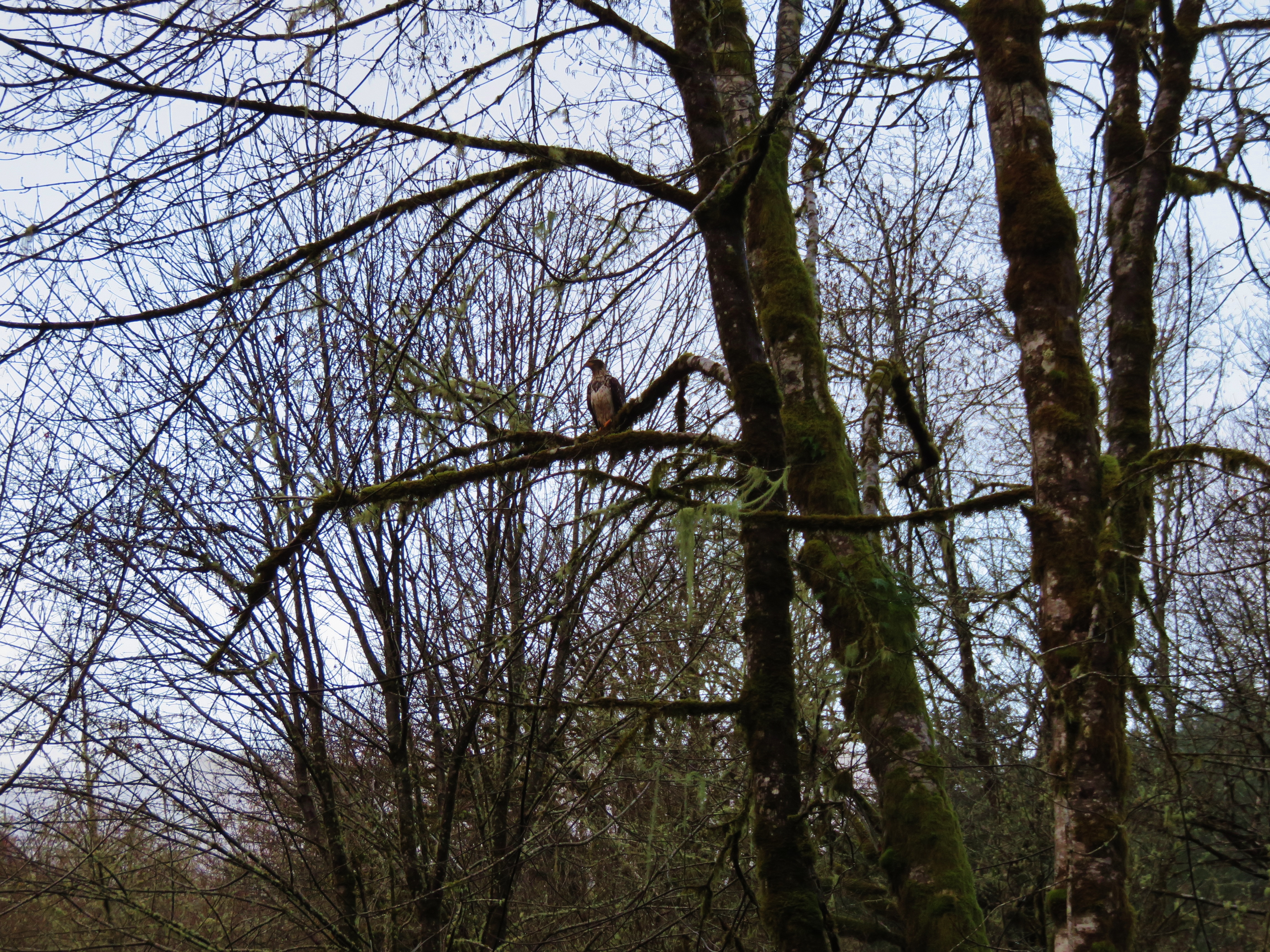
Bald Eagle
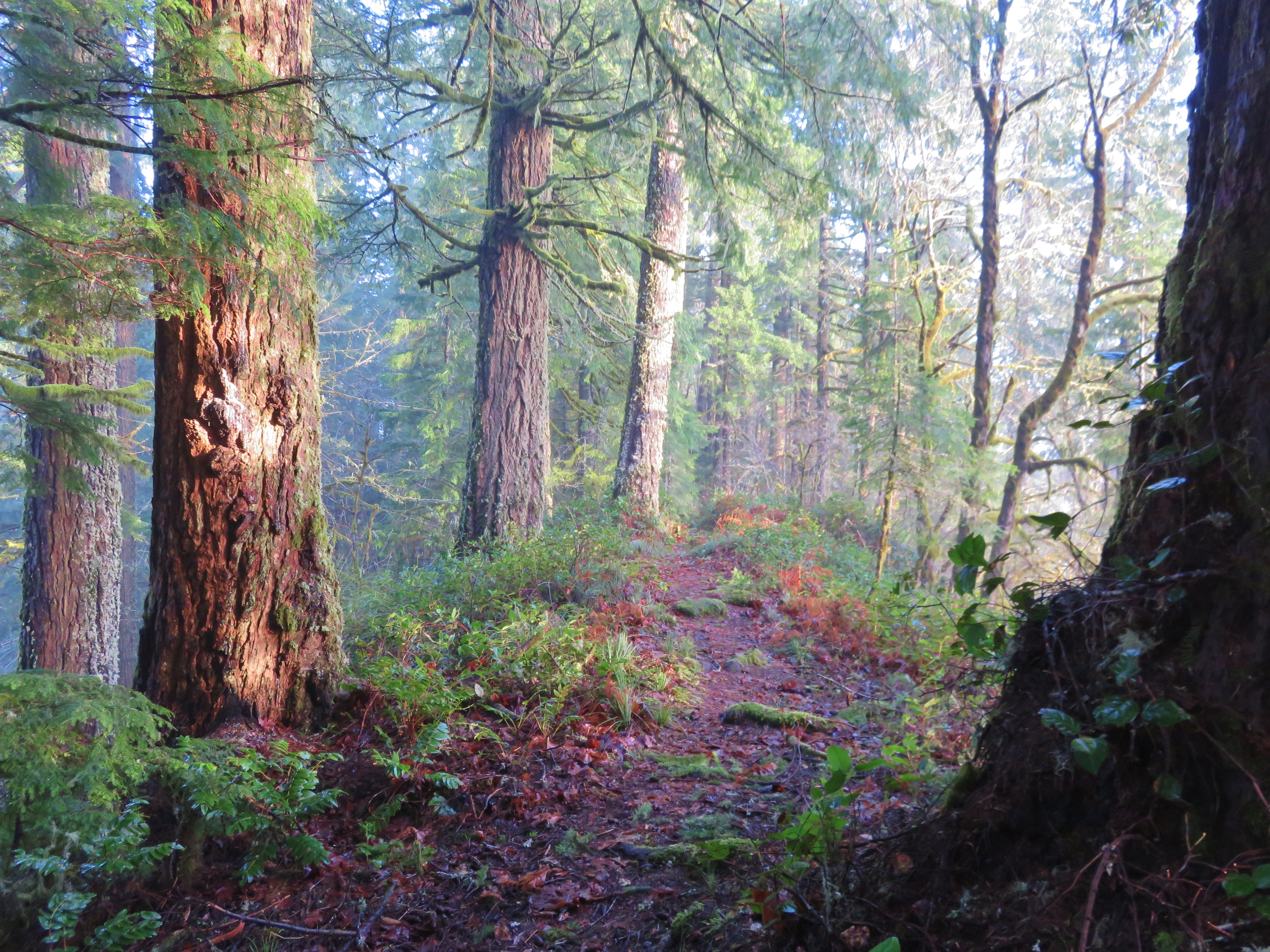
Old Growth Ridge Trail
Whittaker Creek
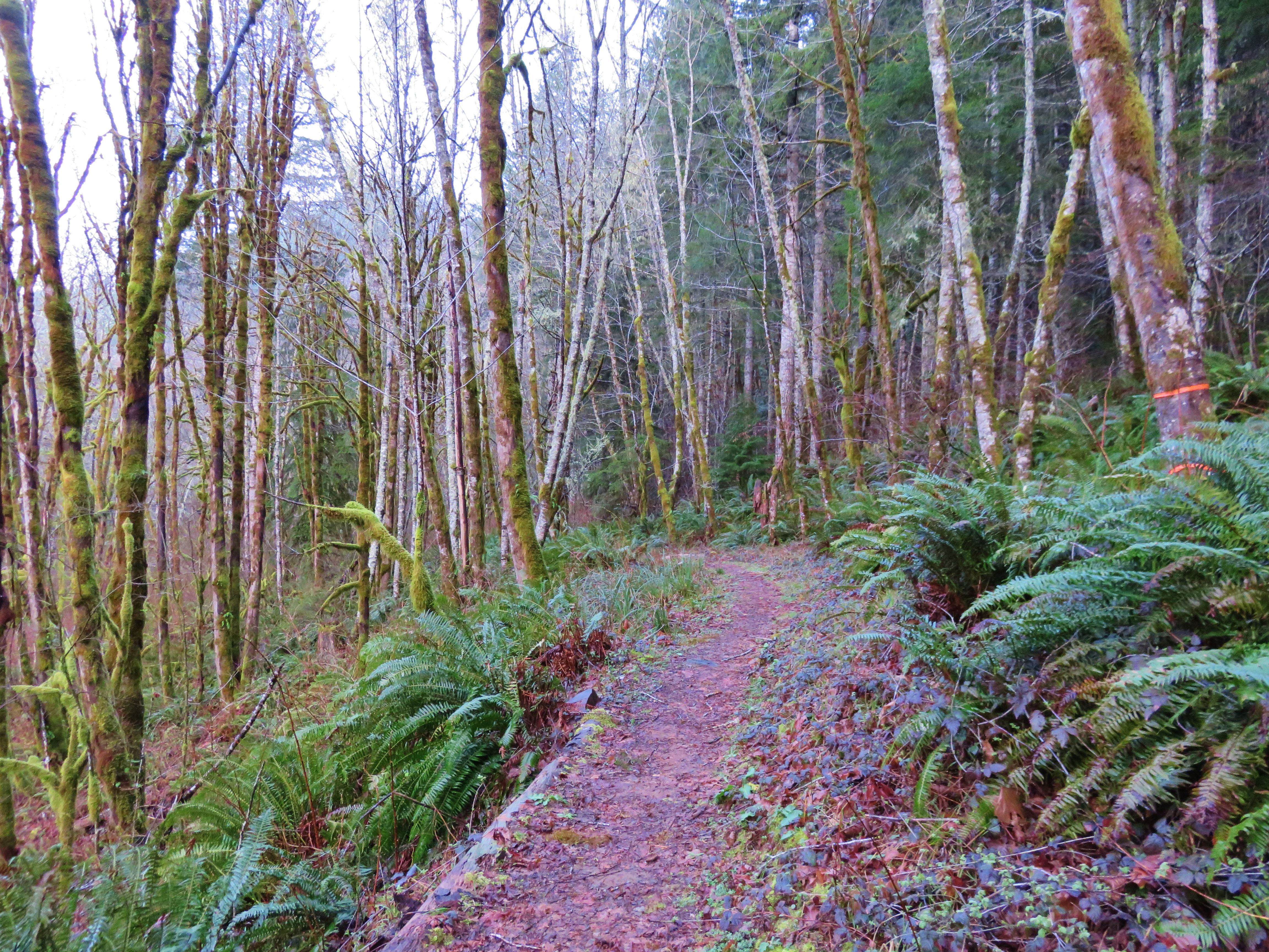
Old Growth Ridge Trail
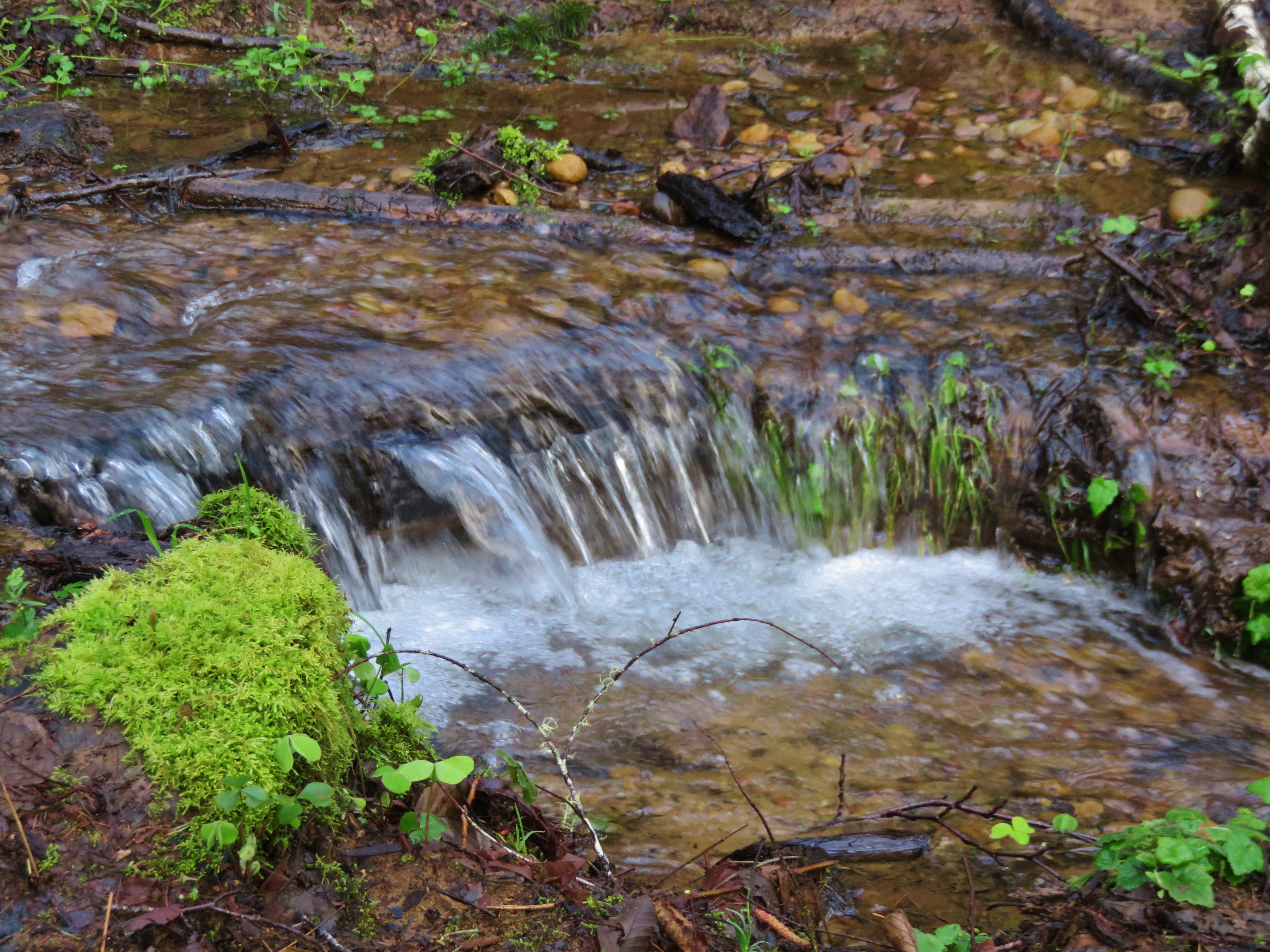
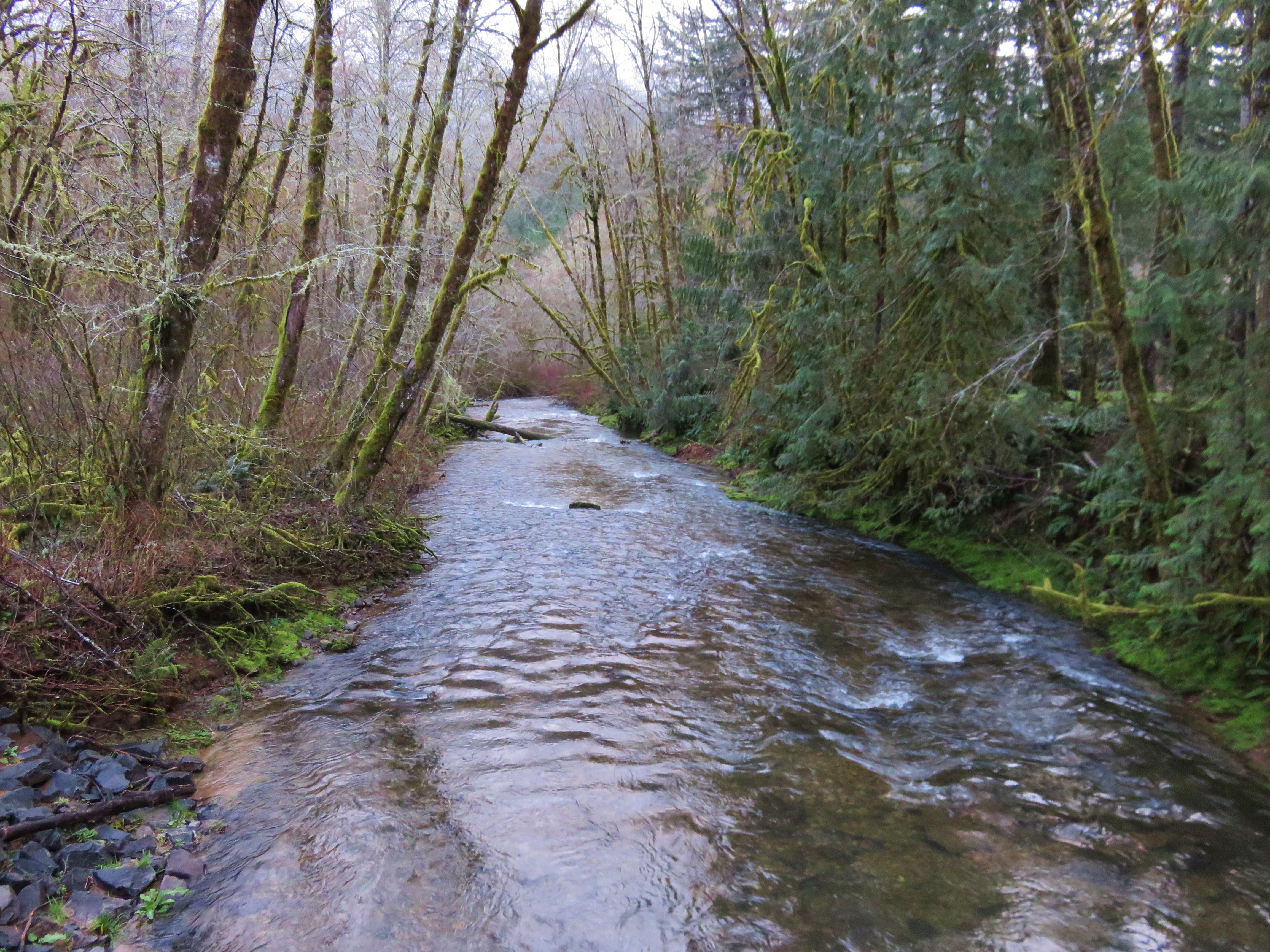
Stream crossing the Armantrout Loop Trail
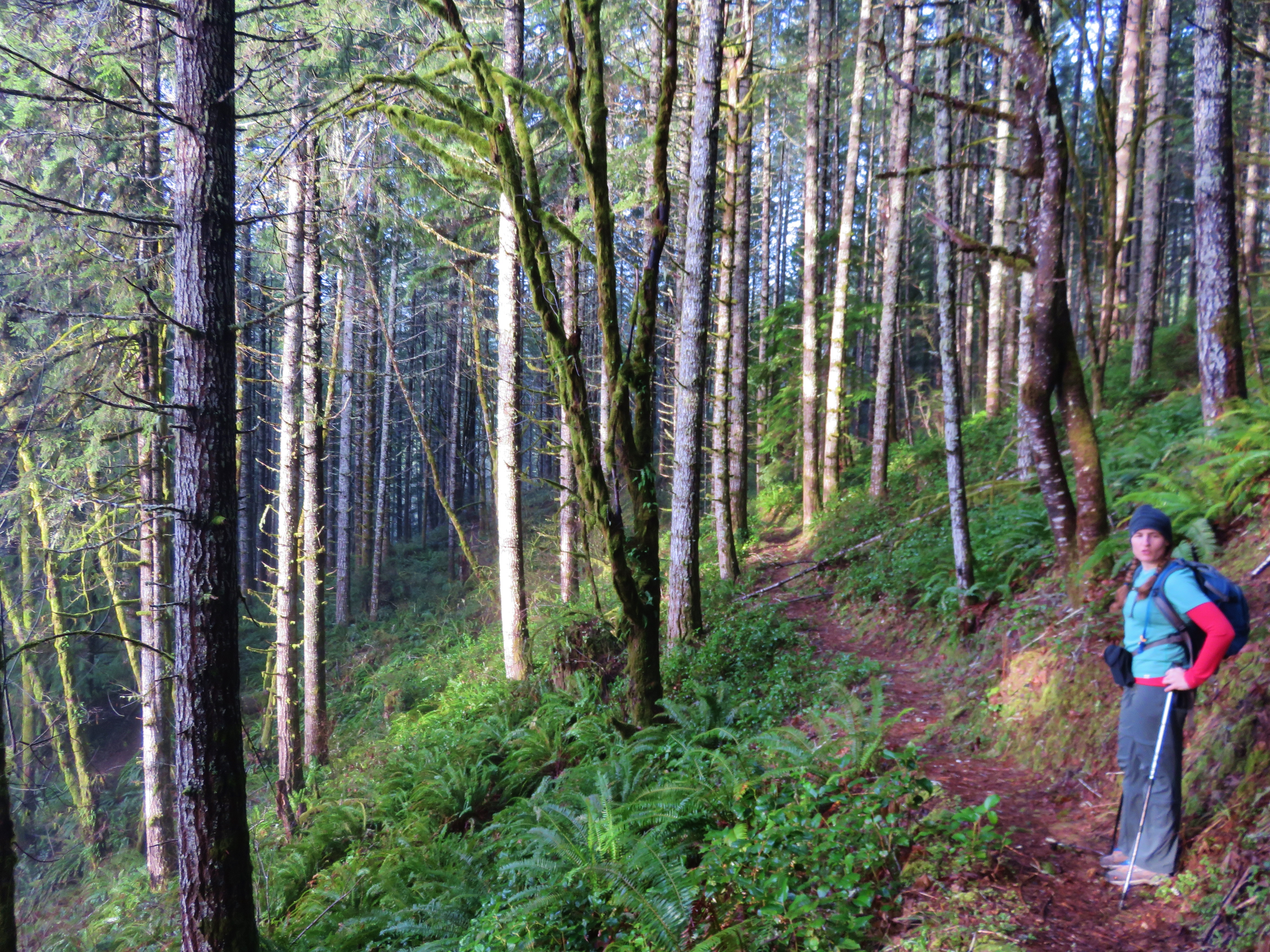
Armantrout Loop Trail
Topographic Map of OR-36, Deadwood, OR, USA
Find elevation by address:

Places near OR-36, Deadwood, OR, USA:
Greenleaf
Chickahominy Cemetery
Triangle Lake
OR-36, Blachly, OR, USA
Wildcat Creek (austa) Bridge
Wildcat Creek
19652 Or-36
Walton
Walton Cemetery
19648 Or-126
Blachly
Blachly
Blachly
Blachly
Blachly
Blachly
Blachly
Blachly
Blachly
Blachly
Recent Searches:
- Elevation of Corso Fratelli Cairoli, 35, Macerata MC, Italy
- Elevation of Tallevast Rd, Sarasota, FL, USA
- Elevation of 4th St E, Sonoma, CA, USA
- Elevation of Black Hollow Rd, Pennsdale, PA, USA
- Elevation of Oakland Ave, Williamsport, PA, USA
- Elevation of Pedrógão Grande, Portugal
- Elevation of Klee Dr, Martinsburg, WV, USA
- Elevation of Via Roma, Pieranica CR, Italy
- Elevation of Tavkvetili Mountain, Georgia
- Elevation of Hartfords Bluff Cir, Mt Pleasant, SC, USA