Elevation of Deadwood, OR, USA
Location: United States > Oregon > Lane County >
Longitude: -123.76343
Latitude: 44.0956754
Elevation: 78m / 256feet
Barometric Pressure: 100KPa
Elevation Map:
Satellite Map:
Related Photos:
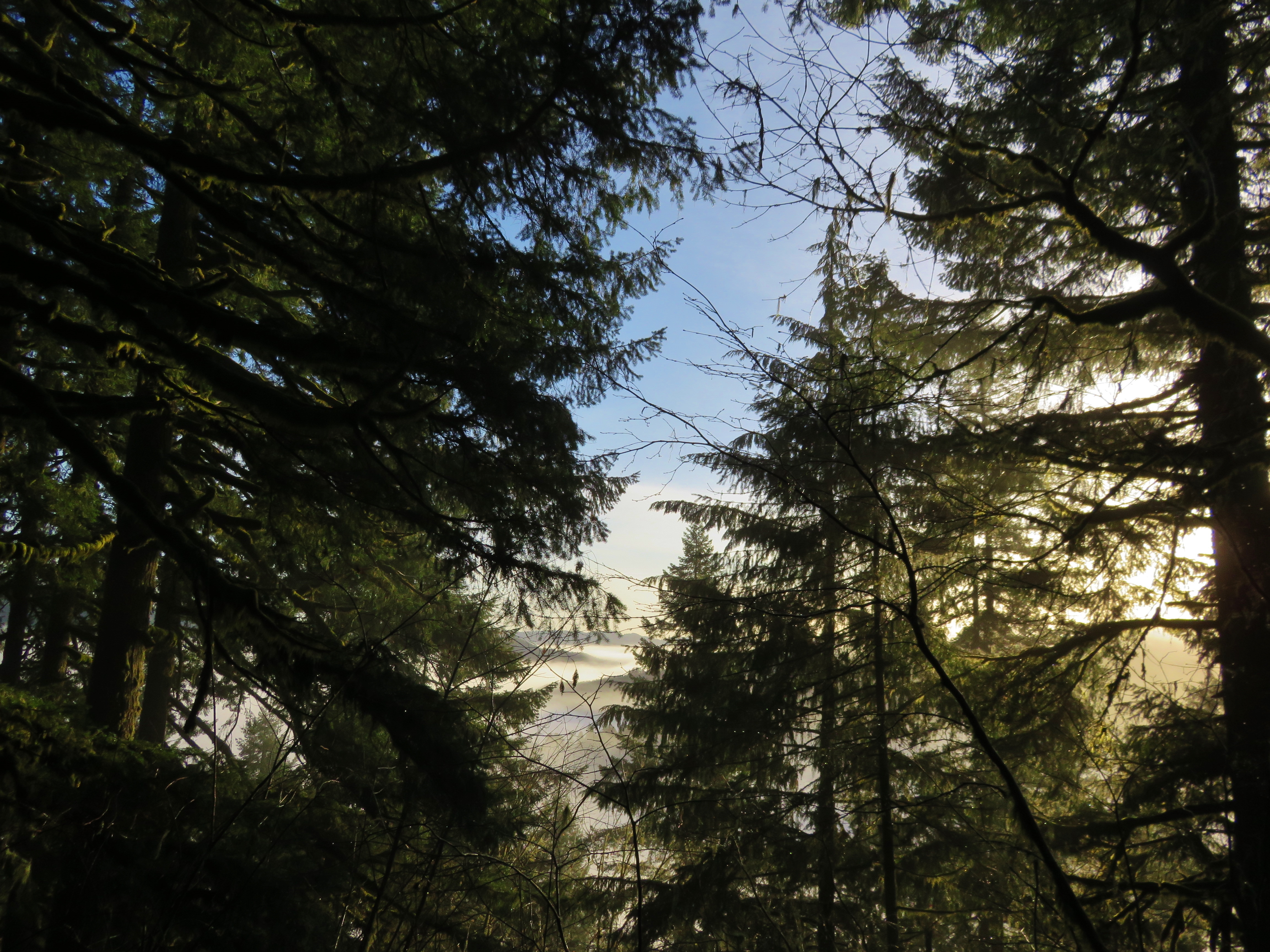
View from the summit of the Old Growth Ridge Trail
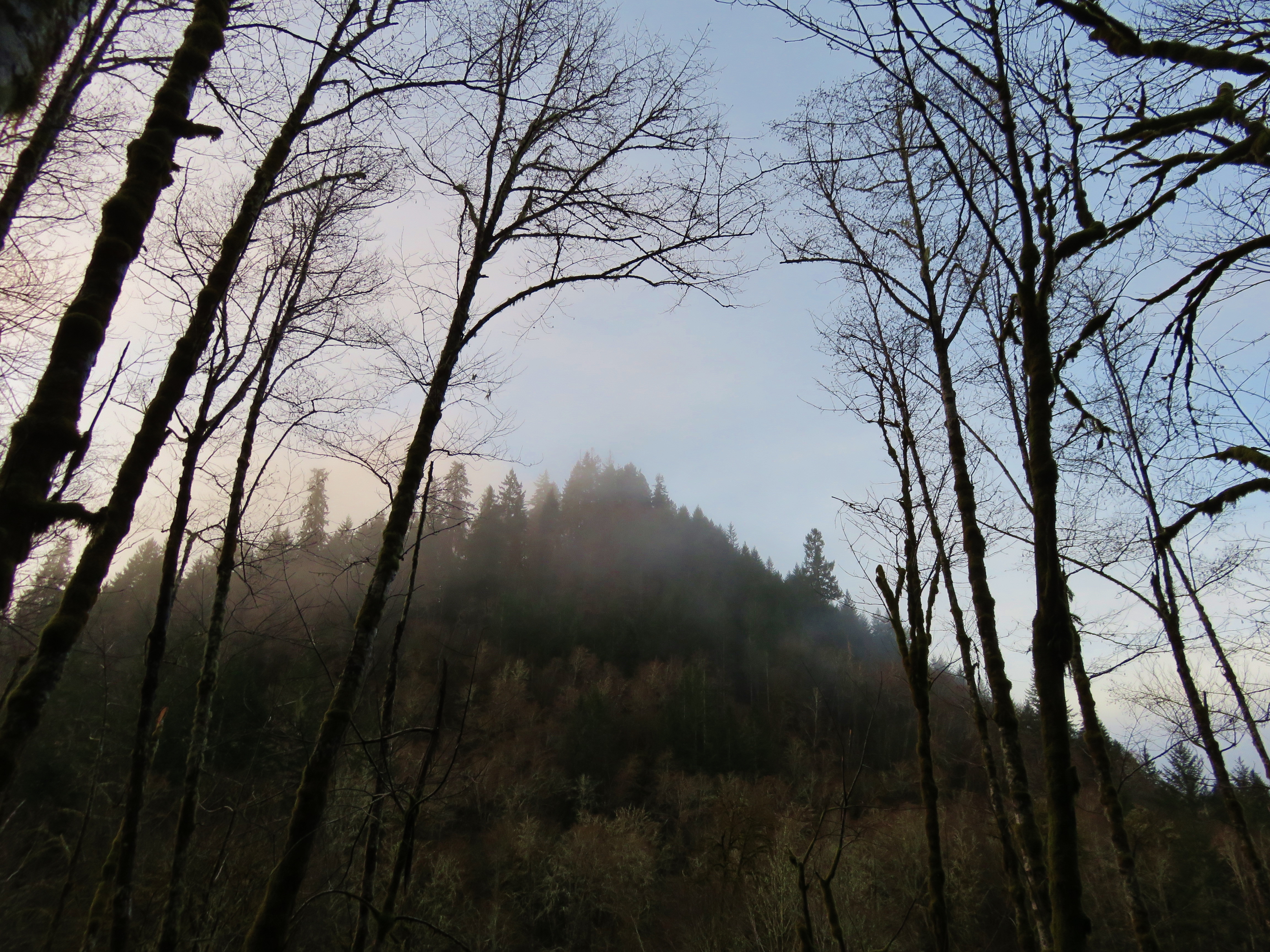
View from the Old Growth Ridge Trail
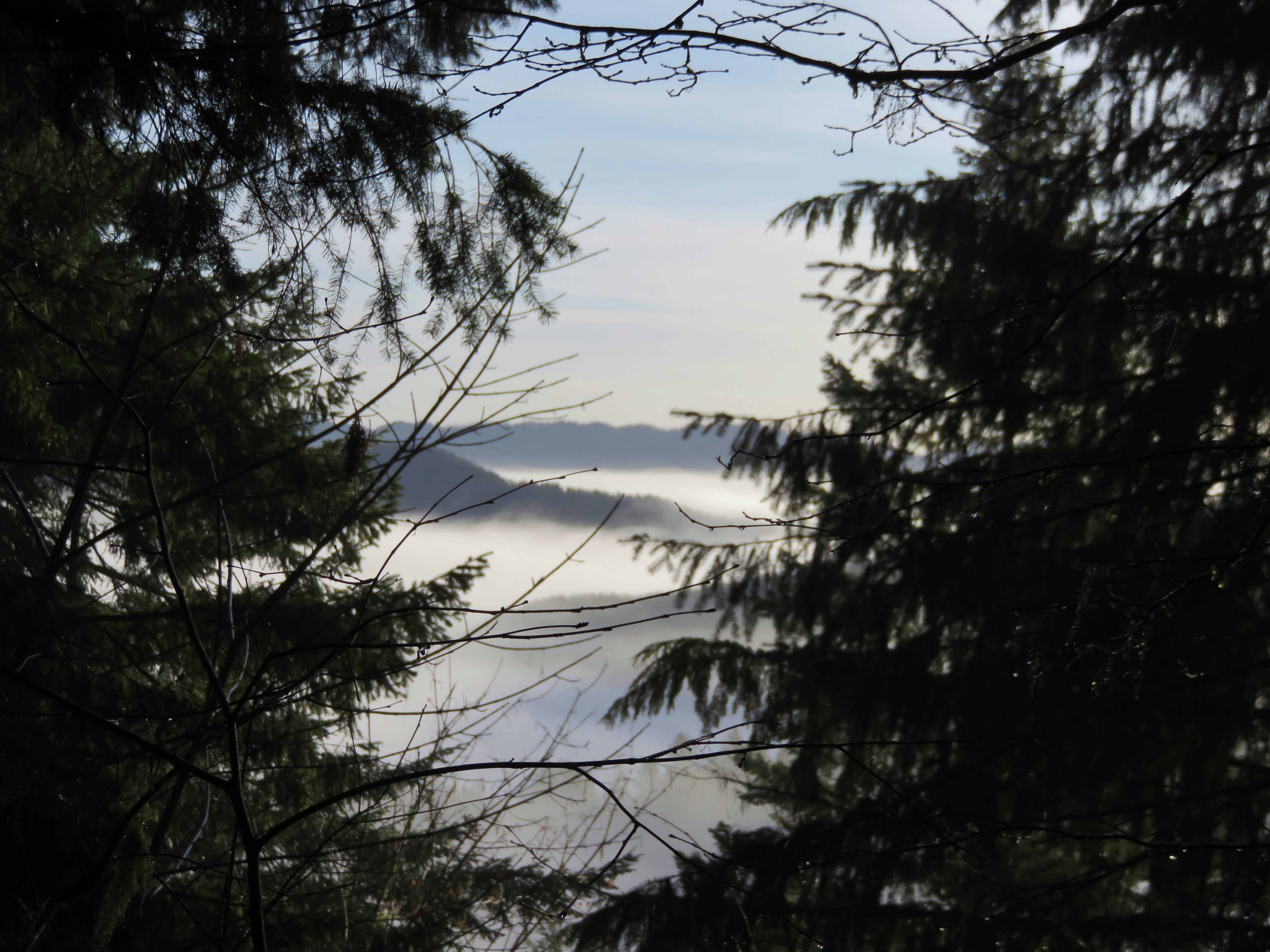
View from the summit of the Old Growth Ridge Trail
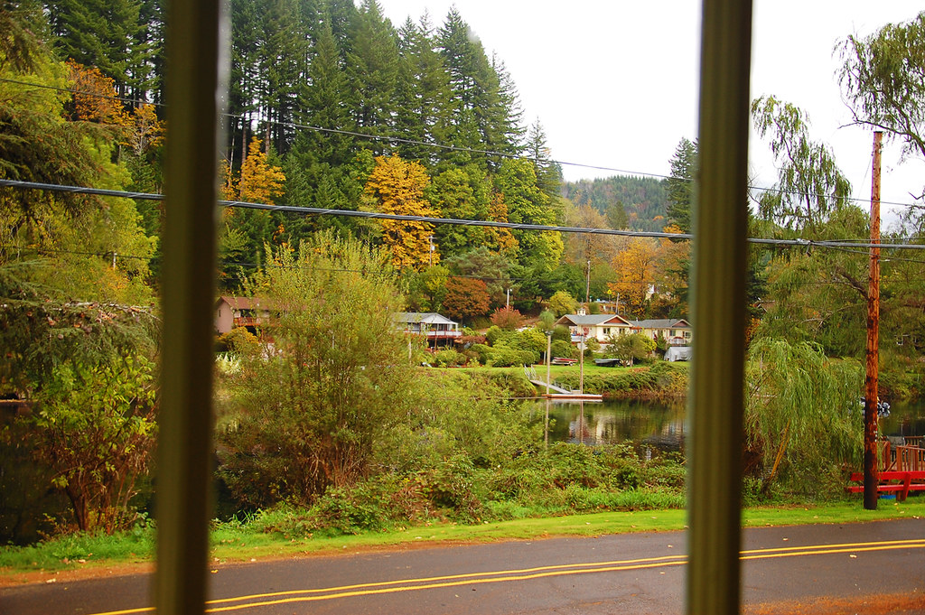
From the Mapleton Library

Sweet Creek Falls, Oregon

20081102-_MG_2079
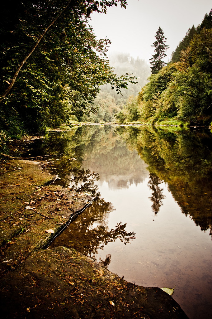
Siuslaw River
The Oregon Riverways

Knowles Creek Tunnel
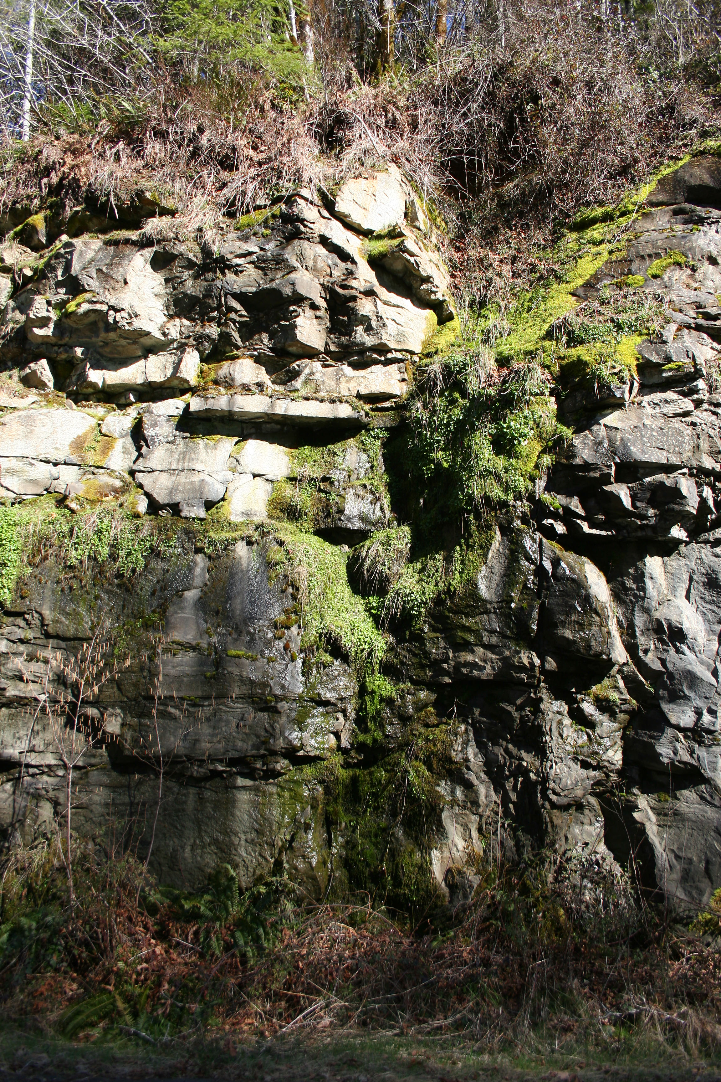
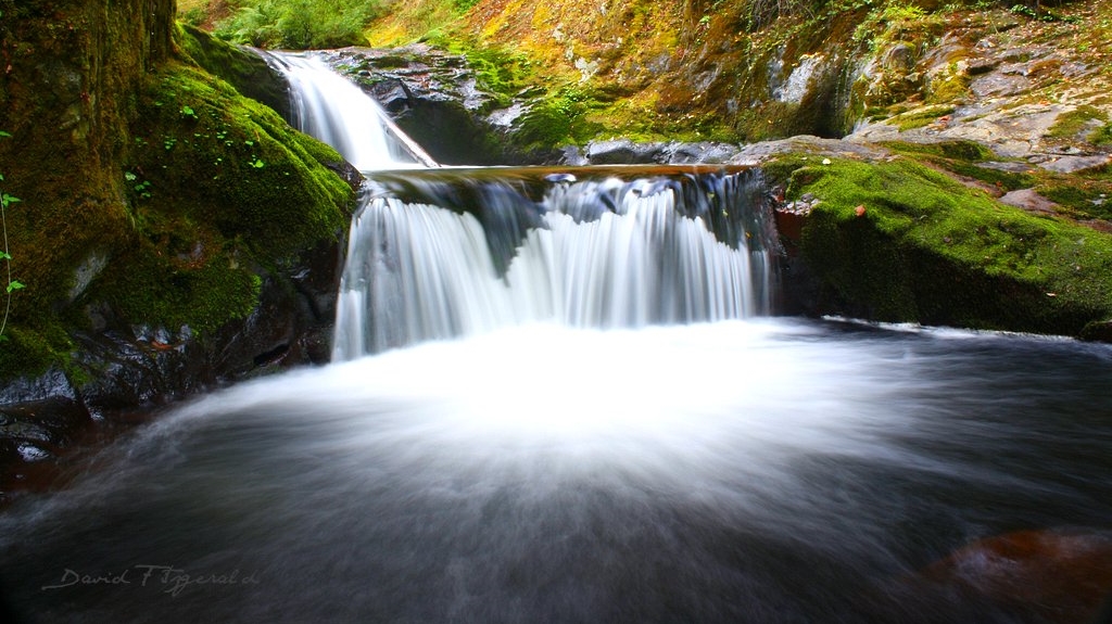
Moss Falls
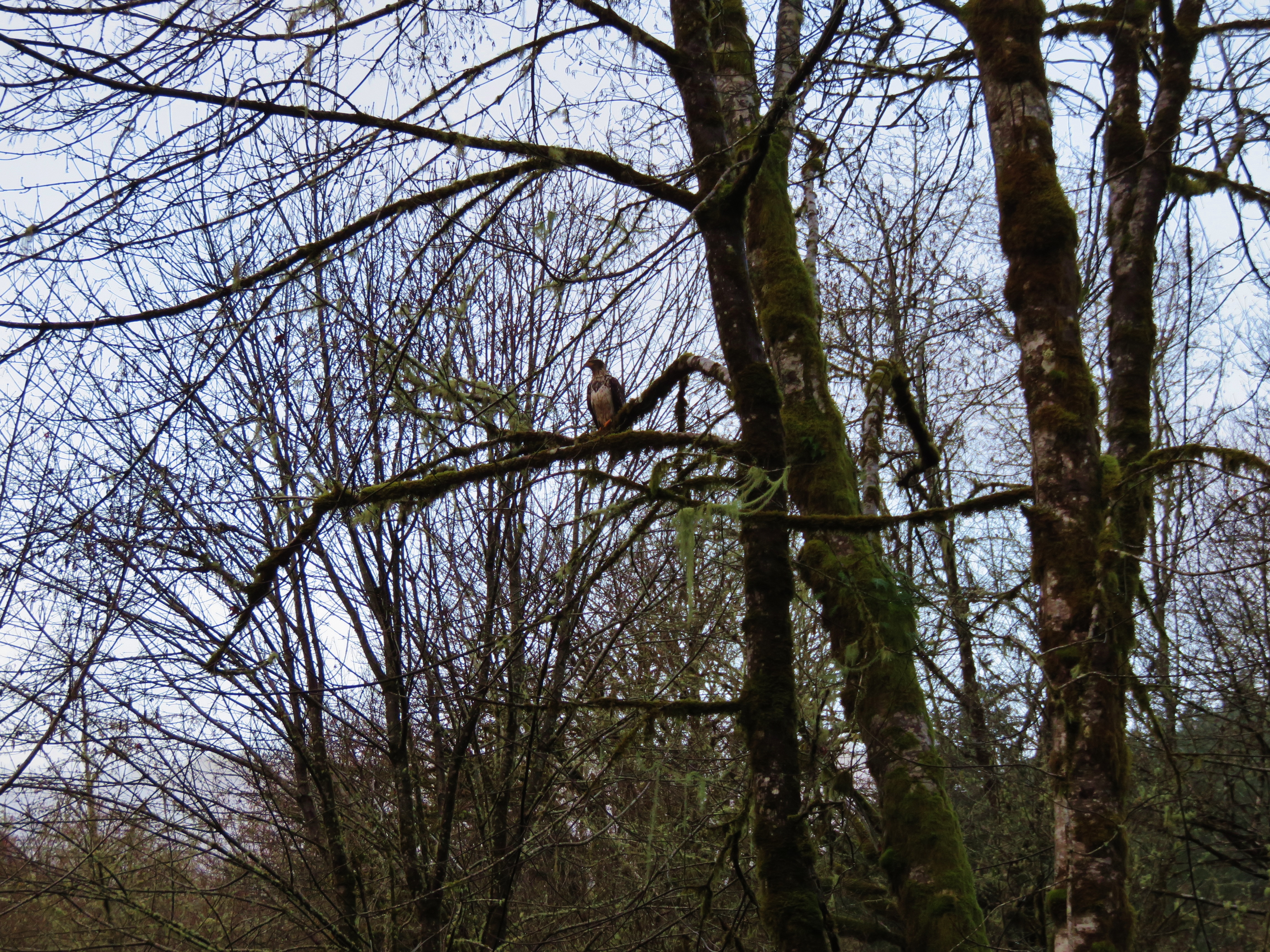
Bald Eagle
Old Growth Ridge Trail
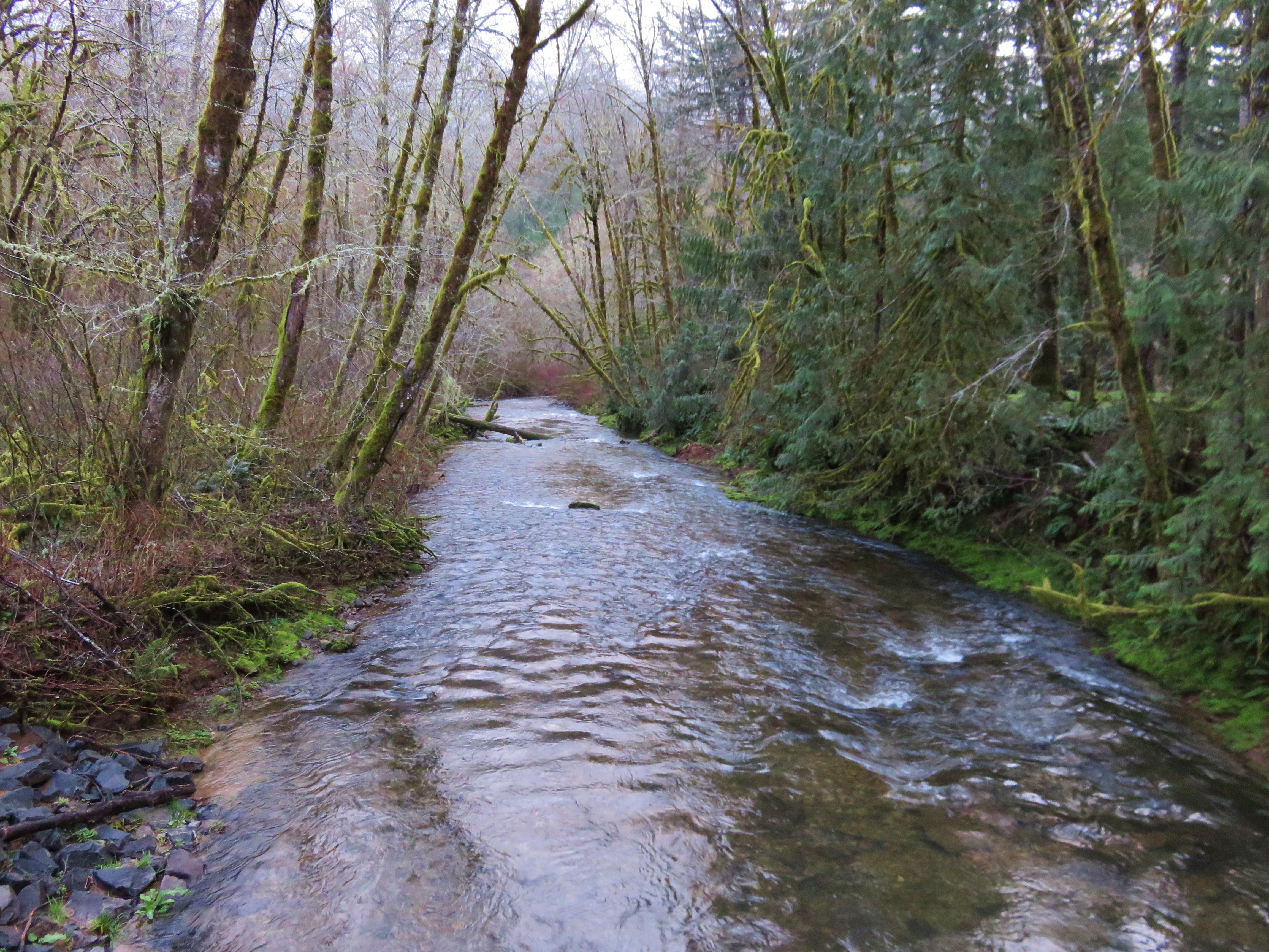
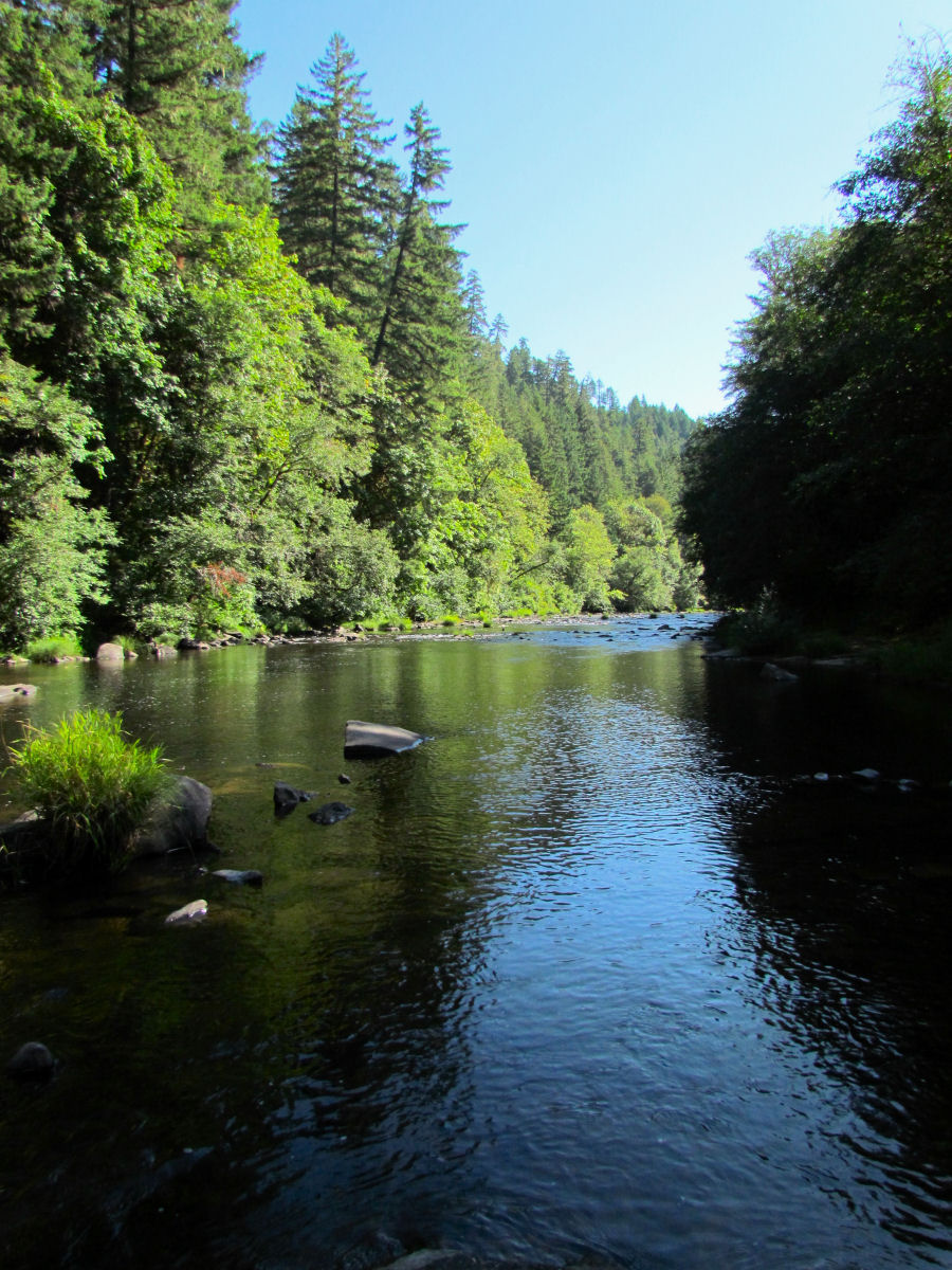
Whittaker Creek
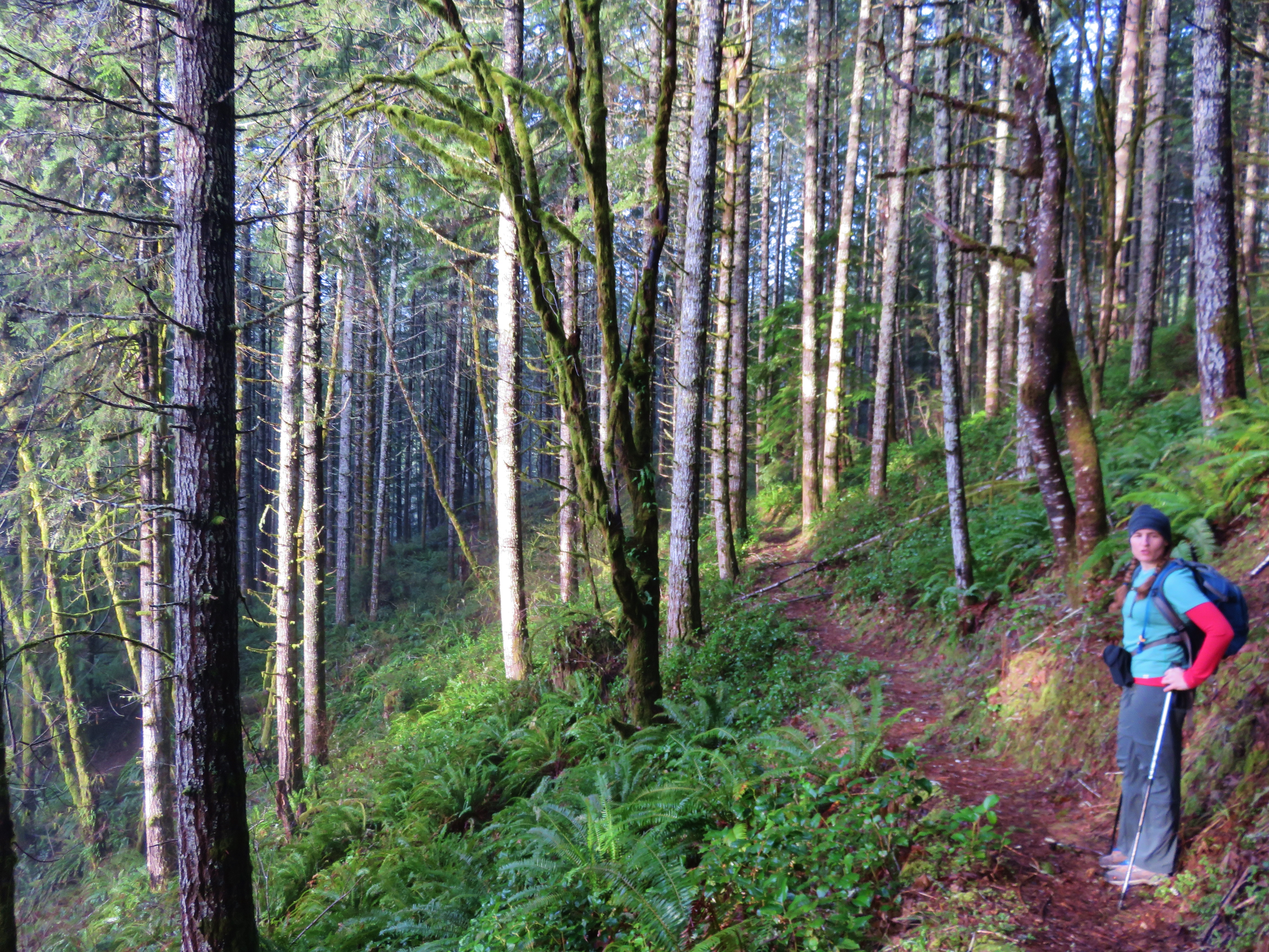
Old Growth Ridge Trail
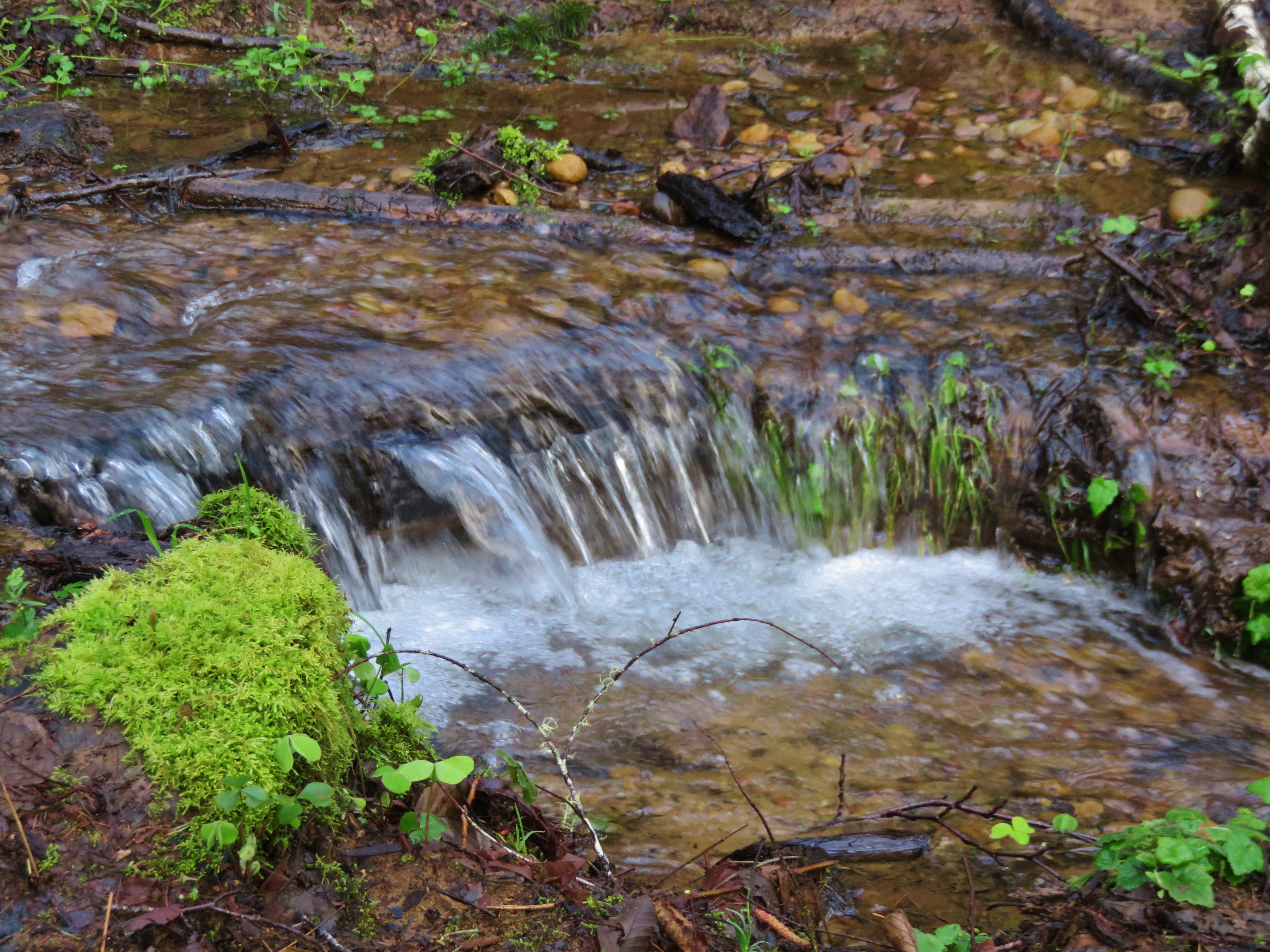
Stream crossing the Armantrout Loop Trail
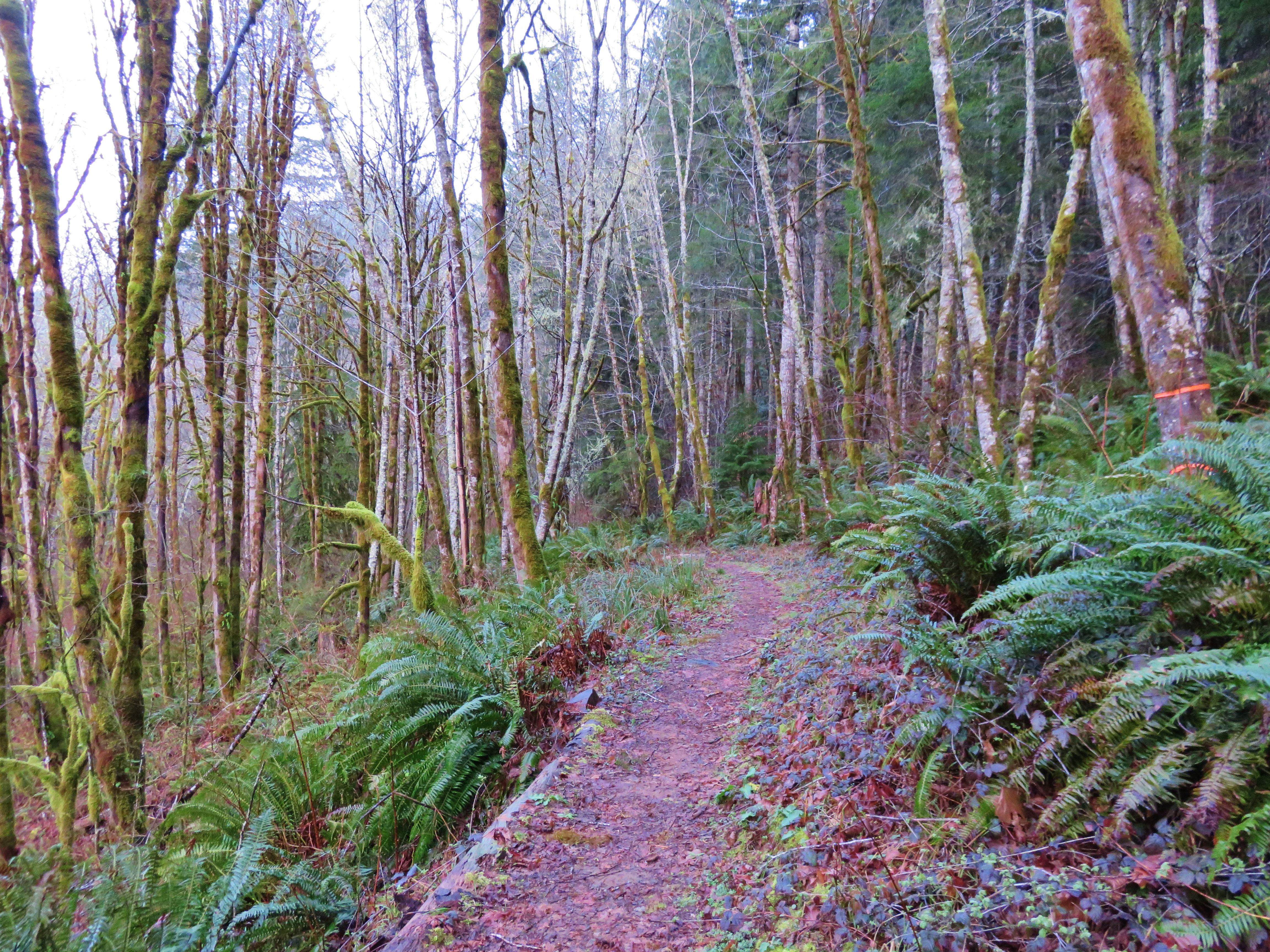
Armantrout Loop Trail
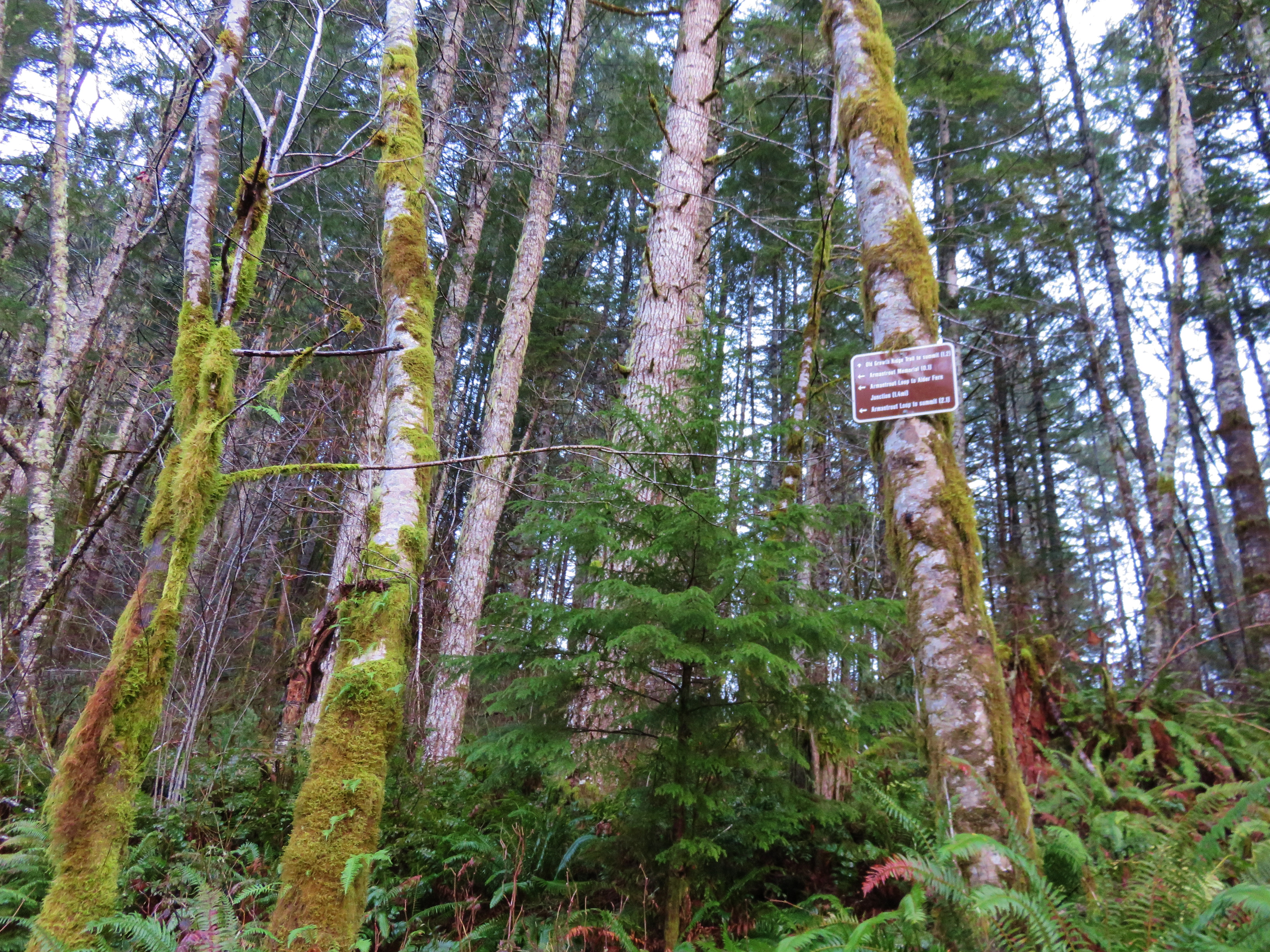
Trail sign along the Old Growth Ridge Trail
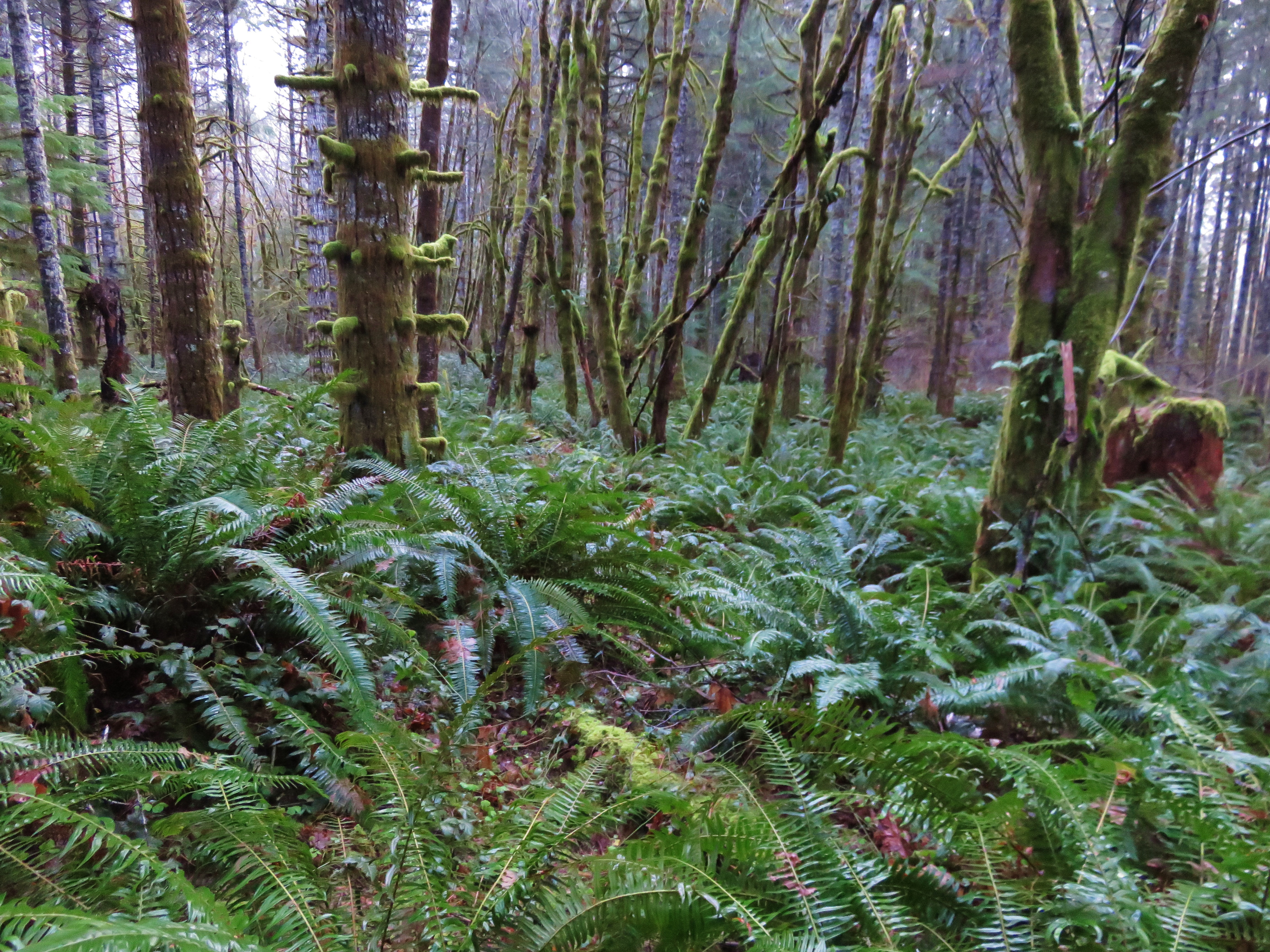
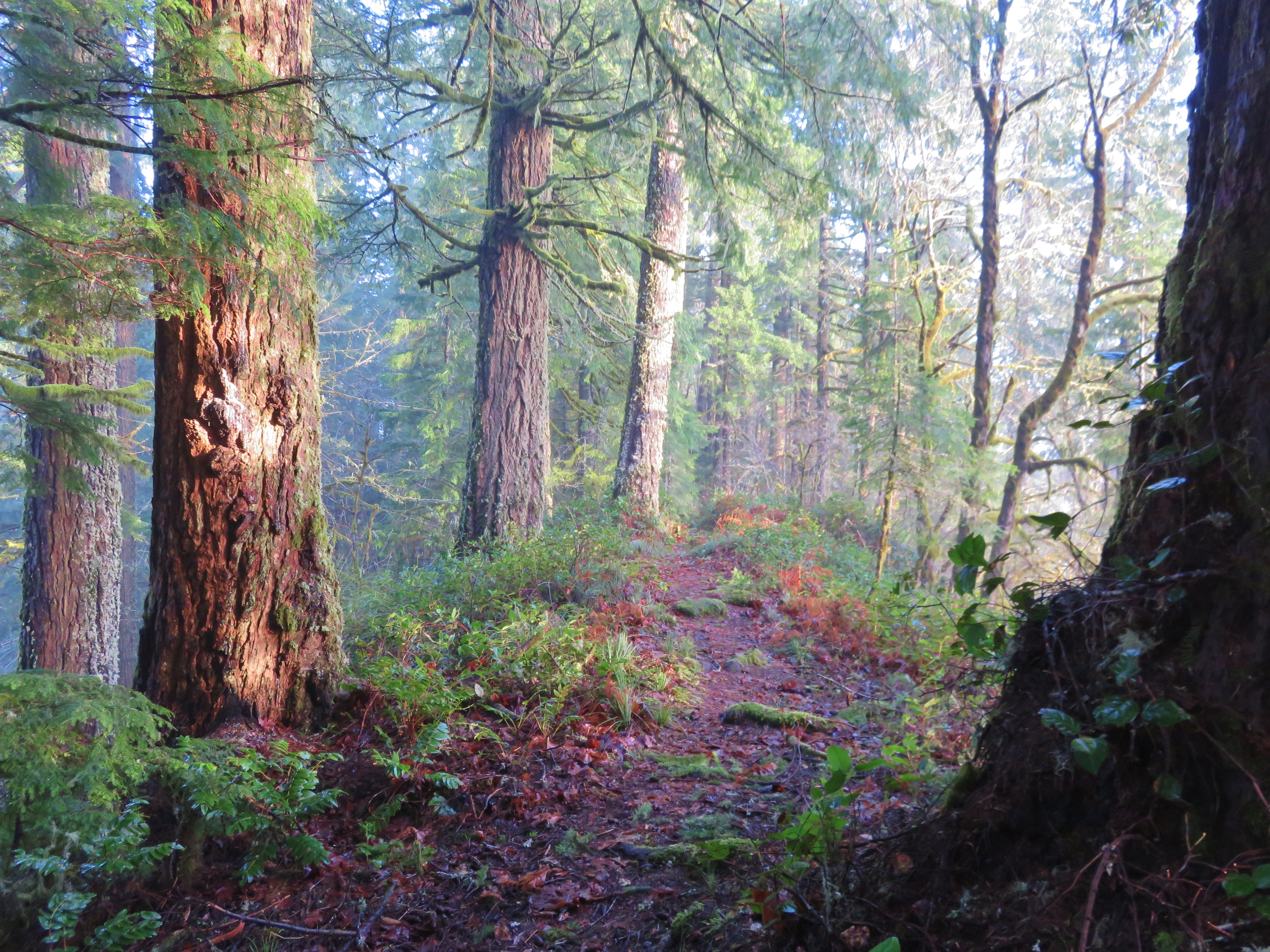
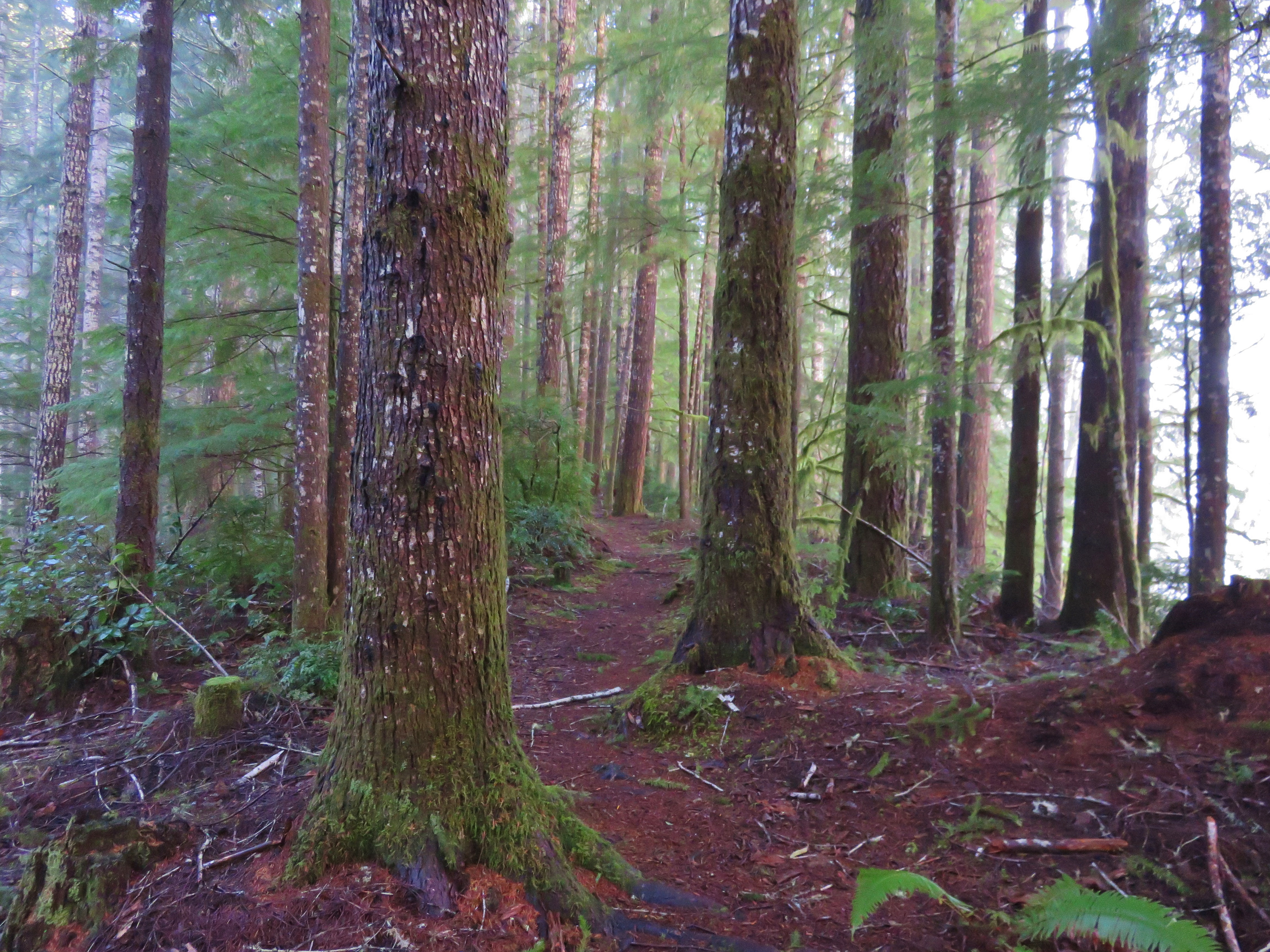
Forest along the Old Growth Ridge Trail
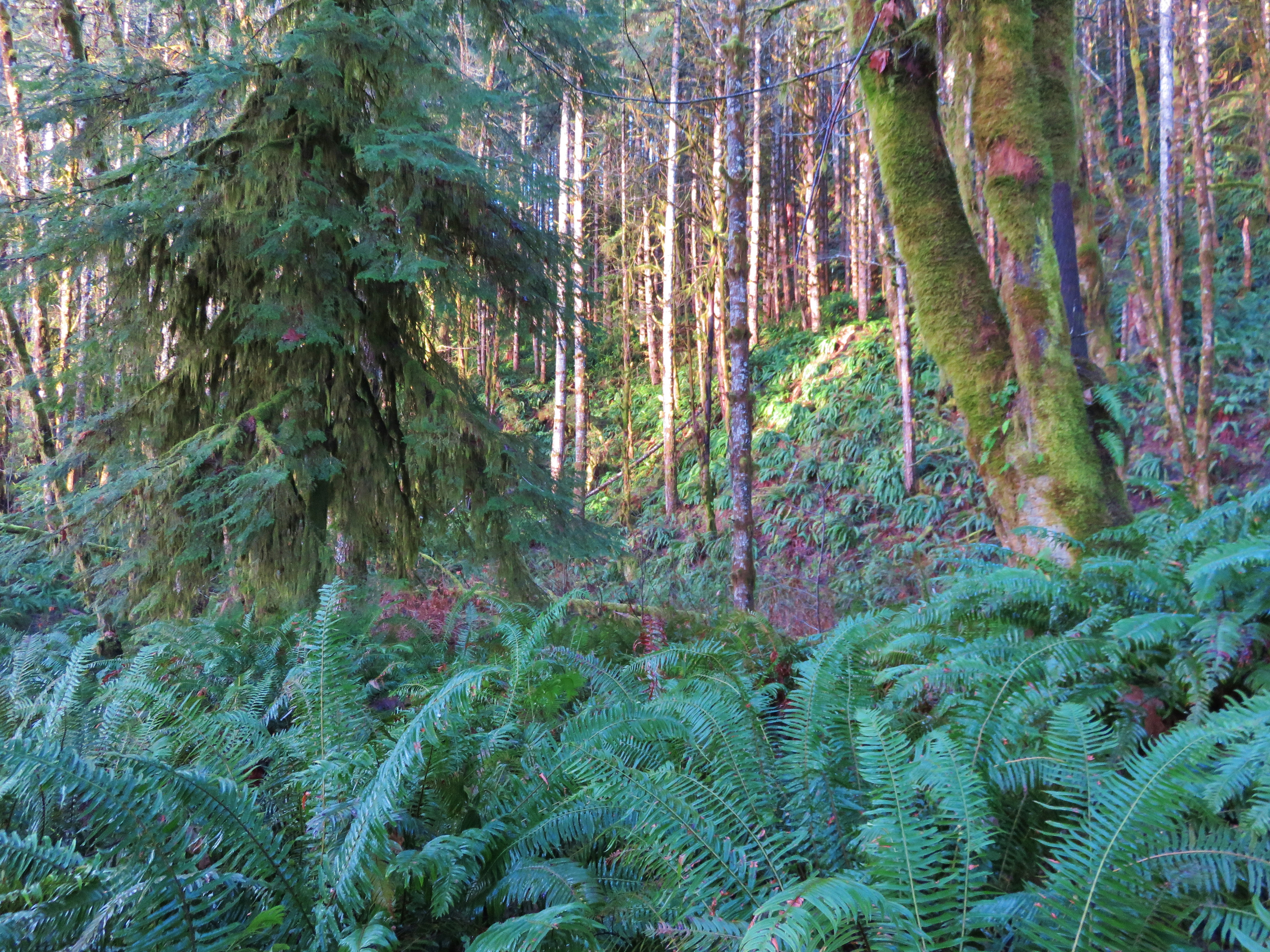
Forest along the Old Growth Ridge Trail
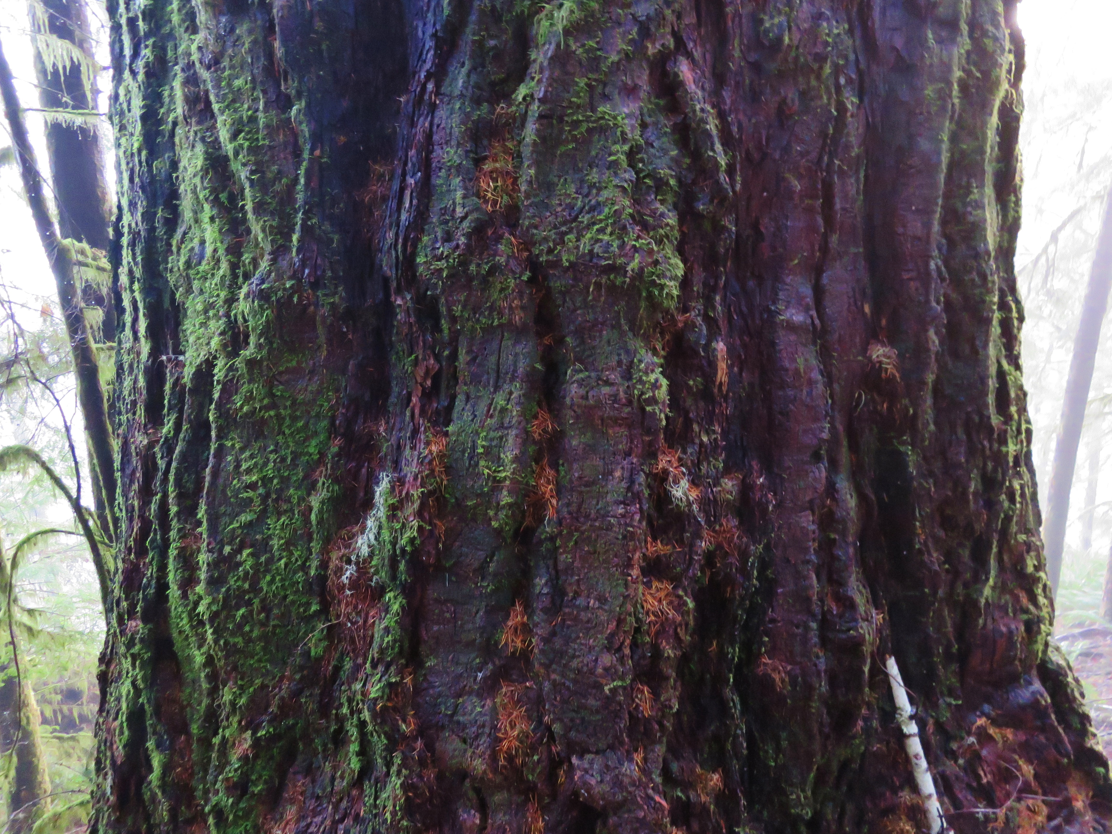
Lightning struck Douglas fir
Old Growth Ridge Trail
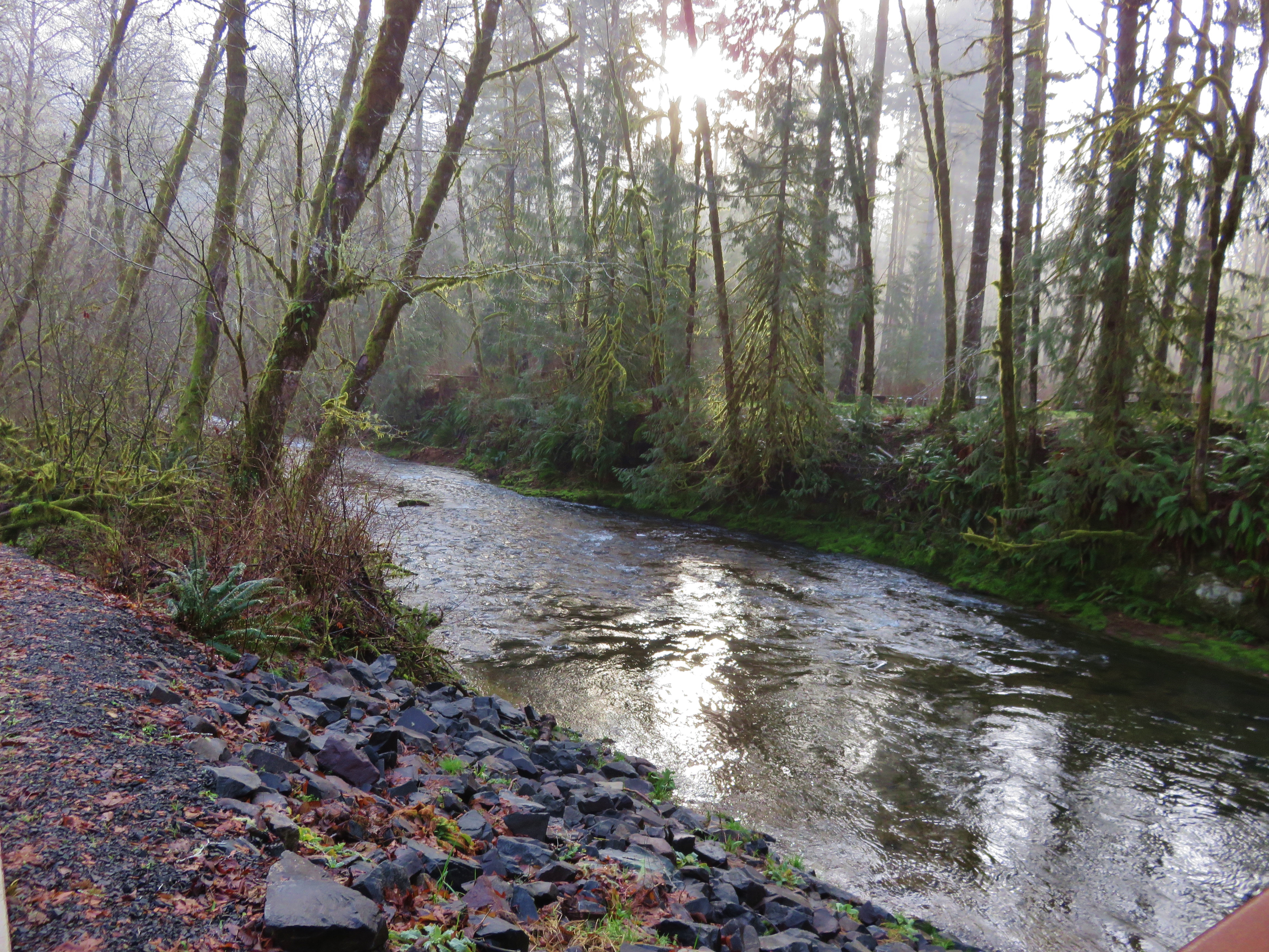
Whittaker Creek

Sweet Creek..

Sweet Creek..
Sweet Creek..
Topographic Map of Deadwood, OR, USA
Find elevation by address:

Places in Deadwood, OR, USA:
Places near Deadwood, OR, USA:
13882 Stagecoach Rd
Swisshome
13298 Or-36
88851 1st St
Rainrock
11789 Walnut Ave
Riverview Avenue
Riverview Avenue
Riverview Avenue
Mapleton
10868 E Mapleton Rd
11220 Or-36
11205 Or-36
9202 Phey Ln
8429 Duncan Island Rd
Cushman
89518 Ben Bunch Rd
89749 Ben Bunch Rd
88683 Collard Lake Rd
90090 Ben Bunch Rd
Recent Searches:
- Elevation of Corso Fratelli Cairoli, 35, Macerata MC, Italy
- Elevation of Tallevast Rd, Sarasota, FL, USA
- Elevation of 4th St E, Sonoma, CA, USA
- Elevation of Black Hollow Rd, Pennsdale, PA, USA
- Elevation of Oakland Ave, Williamsport, PA, USA
- Elevation of Pedrógão Grande, Portugal
- Elevation of Klee Dr, Martinsburg, WV, USA
- Elevation of Via Roma, Pieranica CR, Italy
- Elevation of Tavkvetili Mountain, Georgia
- Elevation of Hartfords Bluff Cir, Mt Pleasant, SC, USA