Elevation of Main St, Elkton, OR, USA
Location: United States > Oregon > Douglas County > Elkton >
Longitude: -123.56411
Latitude: 43.63692
Elevation: 33m / 108feet
Barometric Pressure: 101KPa
Elevation Map:
Satellite Map:
Related Photos:
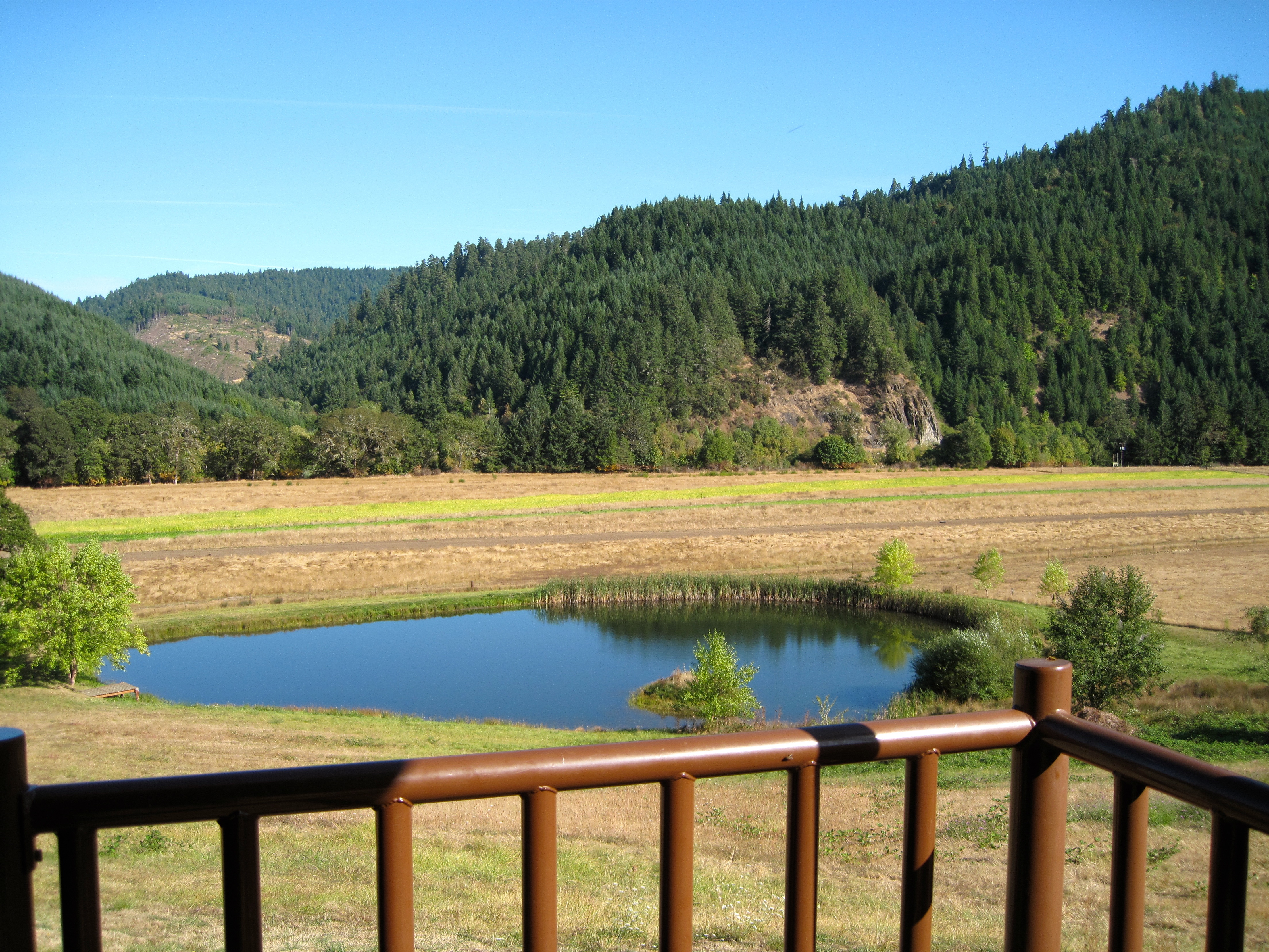
View from Big K Lodge

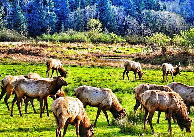
@twelvedaysold and I went to #Lakeside Oregon to visit her Nana this weekend. Along the way we stopped at Dean Creek Elk viewing area. Inspired by the wildlife photos I took, Nana's delicious cooking and her gorgeous quilts I created this piece. It's feel
Bull Elk with Bird on Back
Umqua River
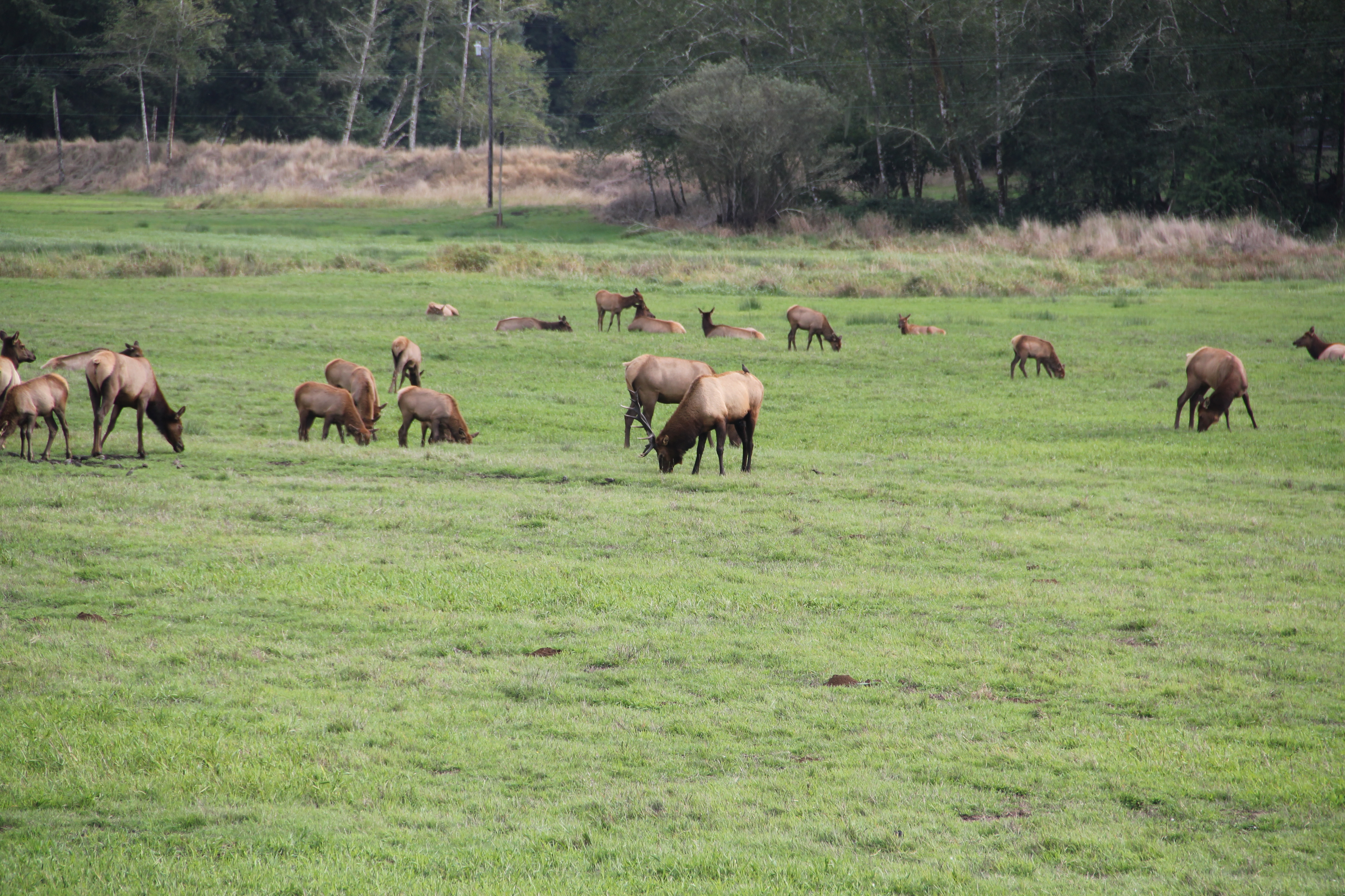
Herd of elk grazing taken in 2012 #elk #nature #animalphotography #animals #wildlifephotography #visitoregon
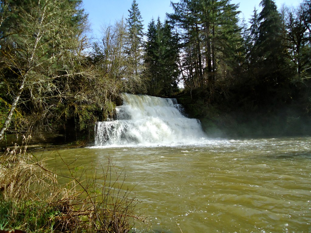
Camp Creek Falls

field mist
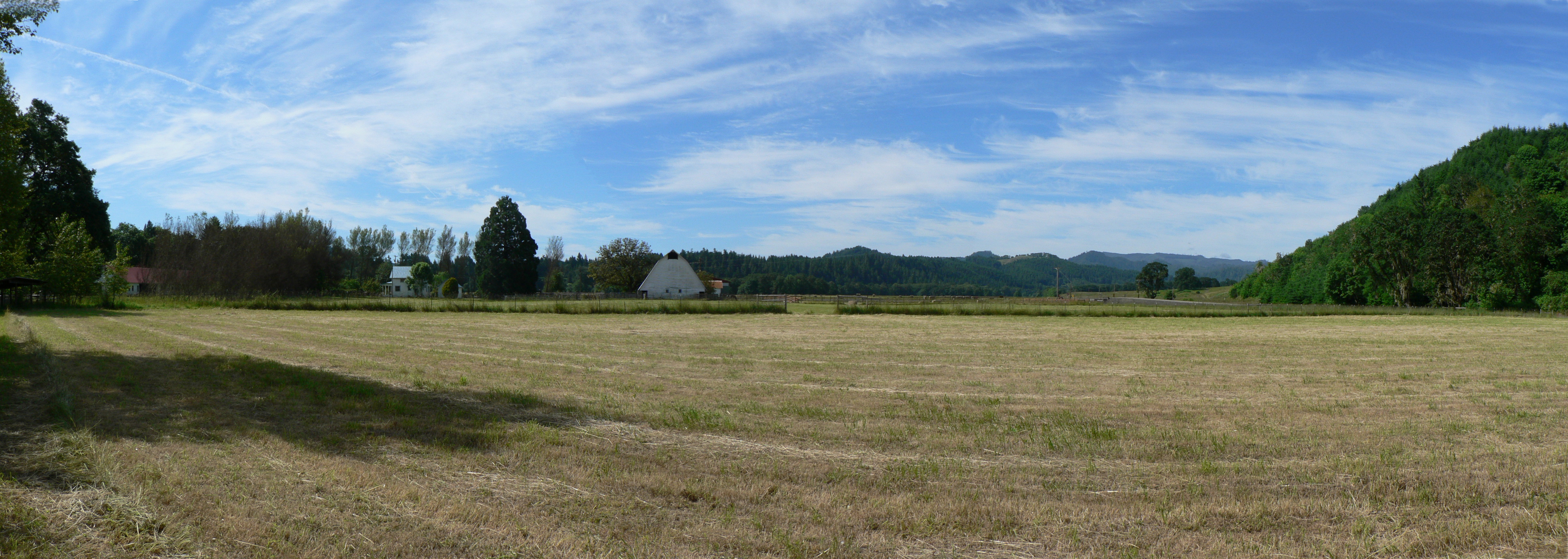
Rhonda and Rudy's Farm
Elk Creek
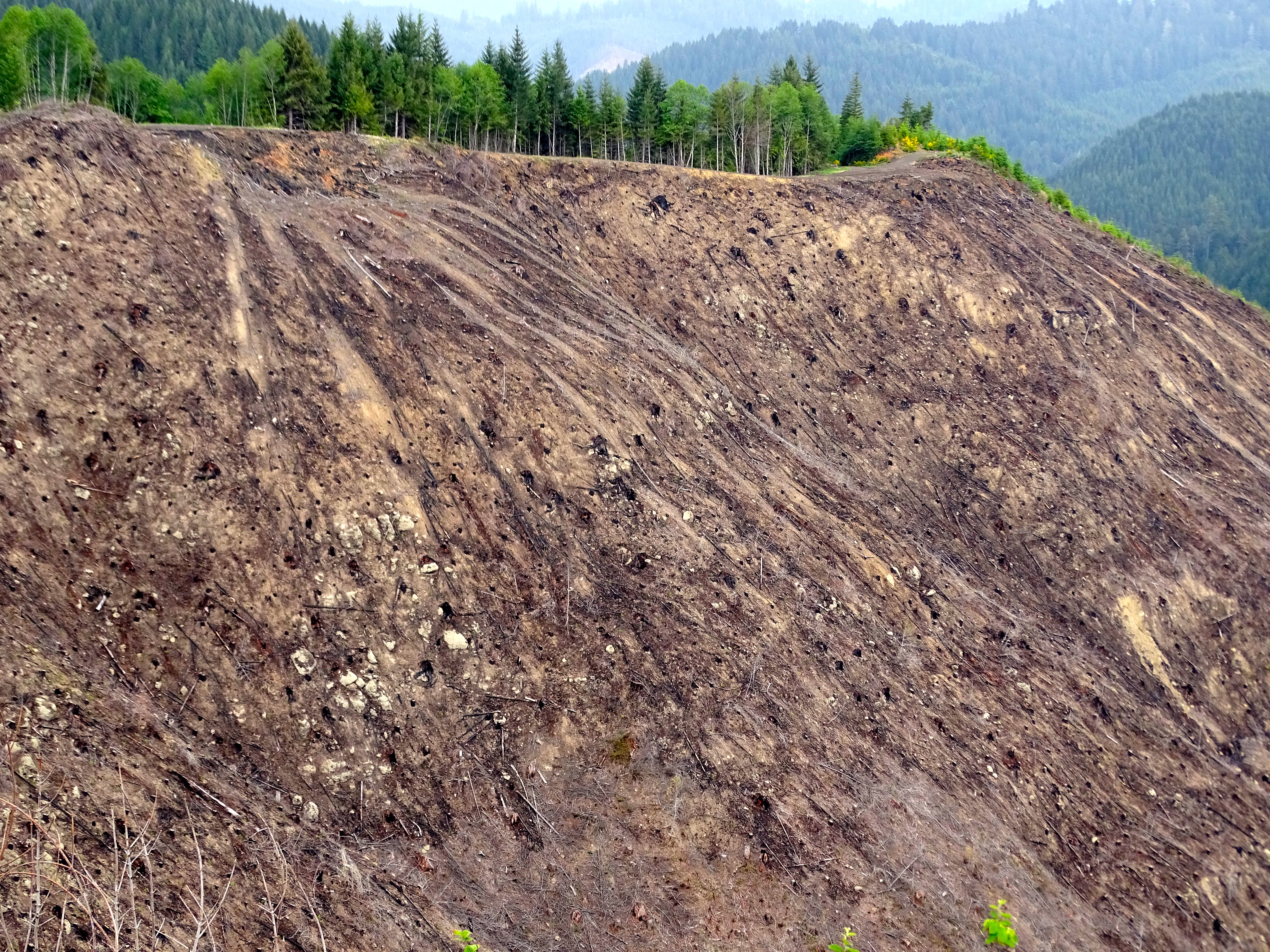
This entire section of forest, north of Elkton ORegon, has recently been clearcut.

Entire sections clearcut by industrial land owners who are forgiven their harvest tax.

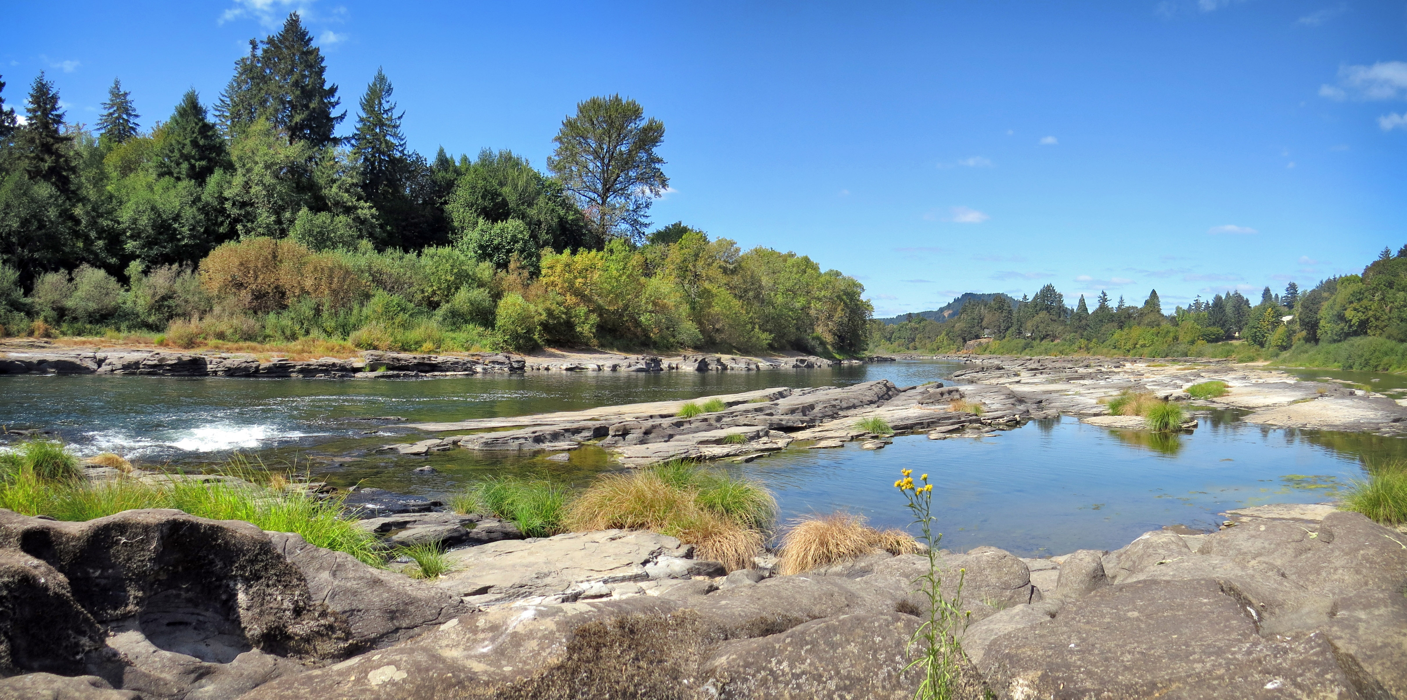
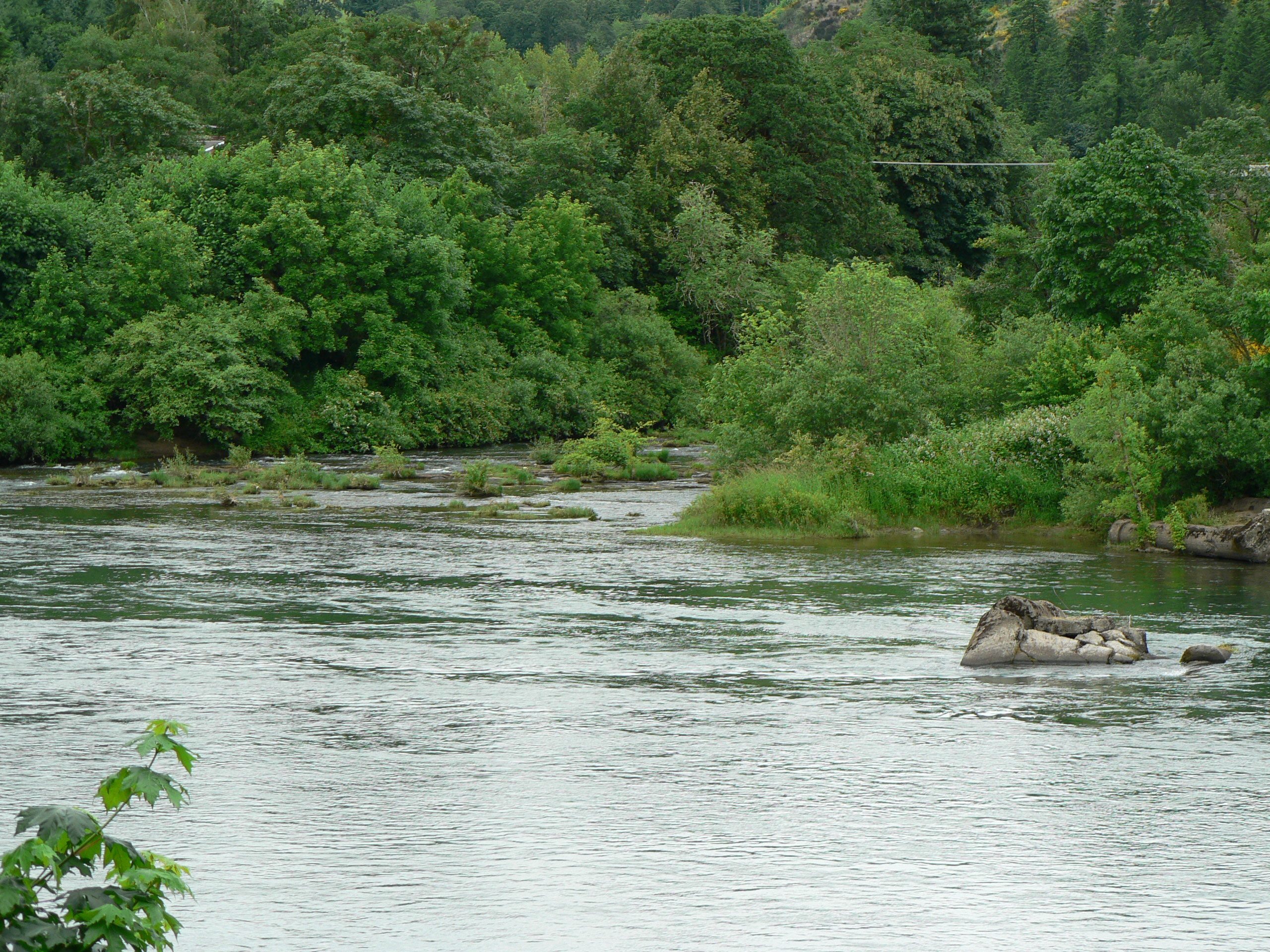
Umpqua River
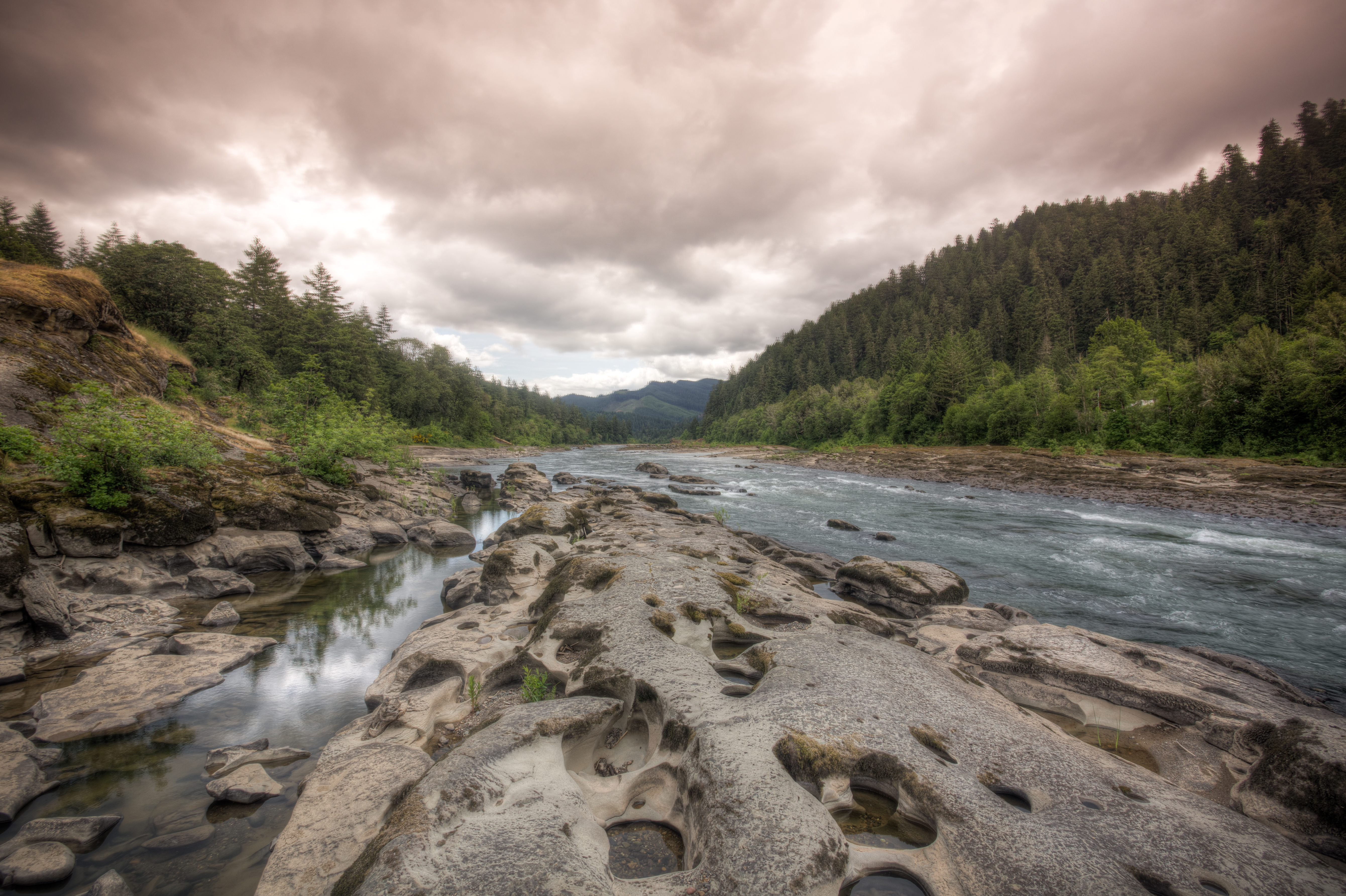
Umpqua River
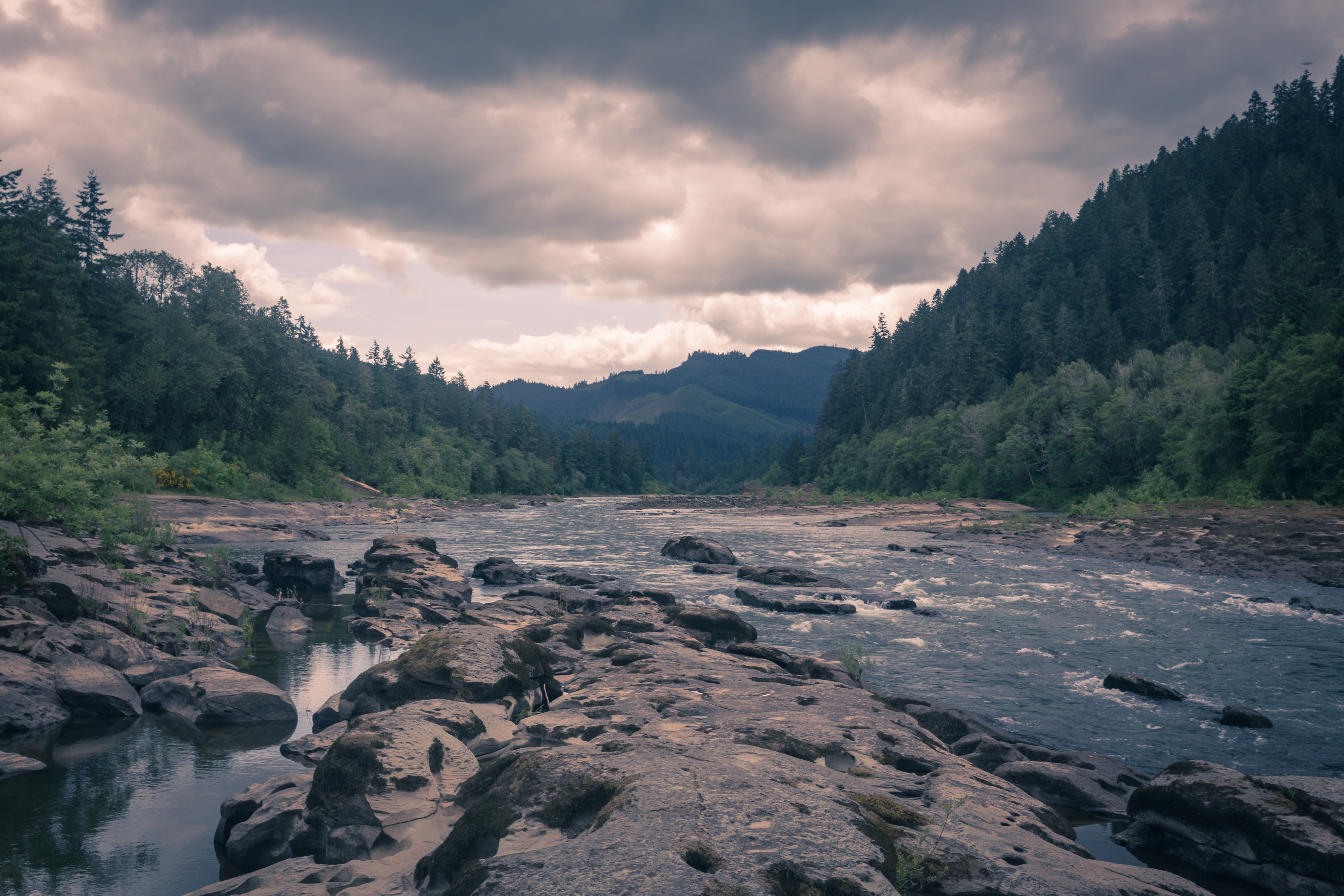
Umpqua River

Umpqua River

elkton cemetery - elkton, or
Topographic Map of Main St, Elkton, OR, USA
Find elevation by address:

Places near Main St, Elkton, OR, USA:
Elkton
Oregon 138
Upper Smith River Rd, Drain, OR, USA
Smith River
Drain
9667 Upper Smith River Rd
Yoncalla
Alder St, Yoncalla, OR, USA
134 Main St
Anlauf
Buck Creek Rd, Drain, OR, USA
4352 Territorial Hwy
Mill Camp
Wildcat Creek
Wildcat Creek (austa) Bridge
Lorane
Comstock
Walton
Walton Cemetery
19648 Or-126
Recent Searches:
- Elevation of Rojo Ct, Atascadero, CA, USA
- Elevation of Flagstaff Drive, Flagstaff Dr, North Carolina, USA
- Elevation of Avery Ln, Lakeland, FL, USA
- Elevation of Woolwine, VA, USA
- Elevation of Lumagwas Diversified Farmers Multi-Purpose Cooperative, Lumagwas, Adtuyon, RV32+MH7, Pangantucan, Bukidnon, Philippines
- Elevation of Homestead Ridge, New Braunfels, TX, USA
- Elevation of Orchard Road, Orchard Rd, Marlborough, NY, USA
- Elevation of 12 Hutchinson Woods Dr, Fletcher, NC, USA
- Elevation of Holloway Ave, San Francisco, CA, USA
- Elevation of Norfolk, NY, USA