Elevation of Upper Caney Valley Rd, Tazewell, TN, USA
Location: United States > Tennessee > Claiborne County > Tazewell >
Longitude: -83.403928
Latitude: 36.4395582
Elevation: 378m / 1240feet
Barometric Pressure: 97KPa
Elevation Map:
Satellite Map:
Related Photos:
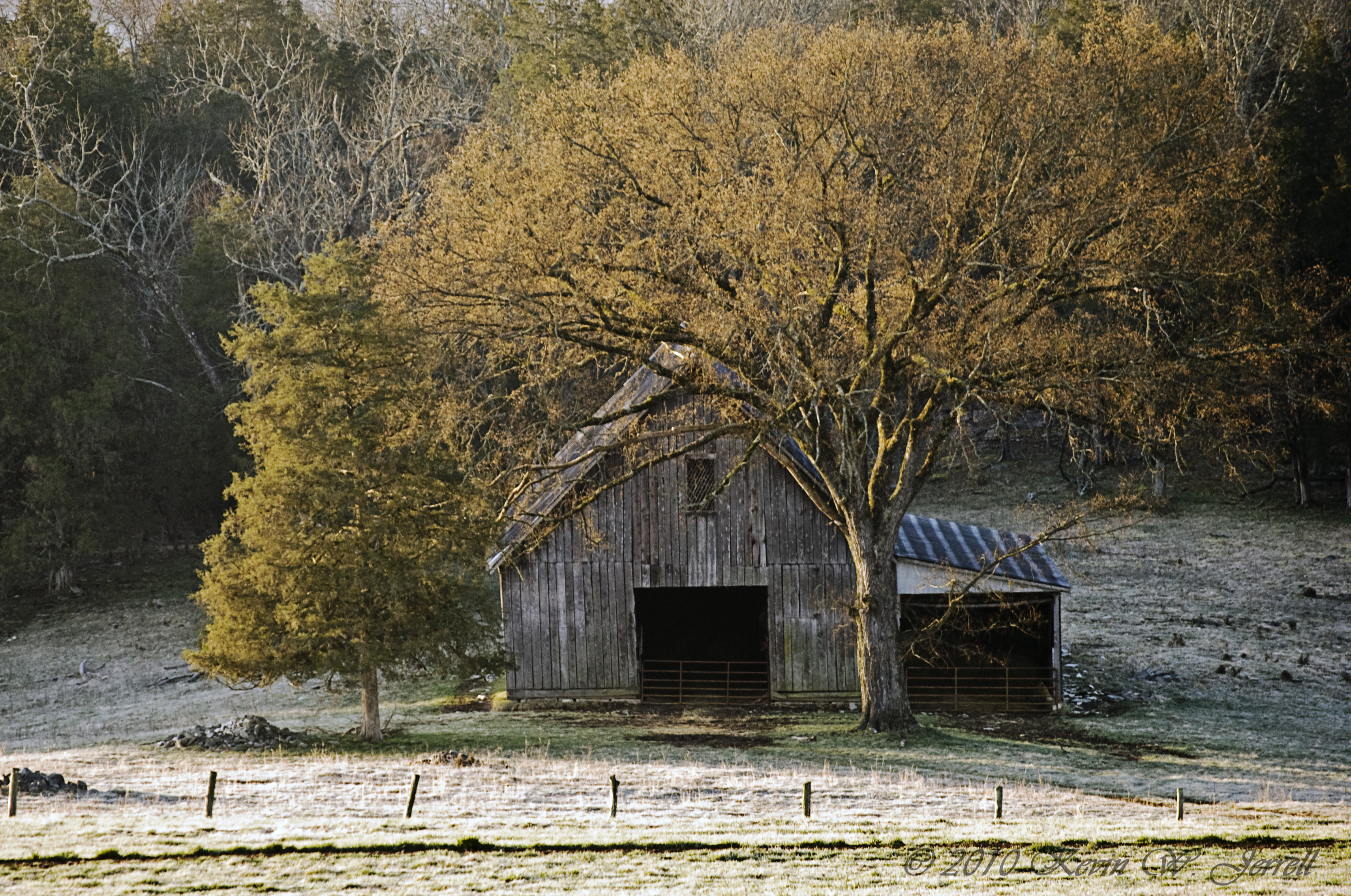
MORNING LIGHT AND SHADOW
It Fall, Y'all
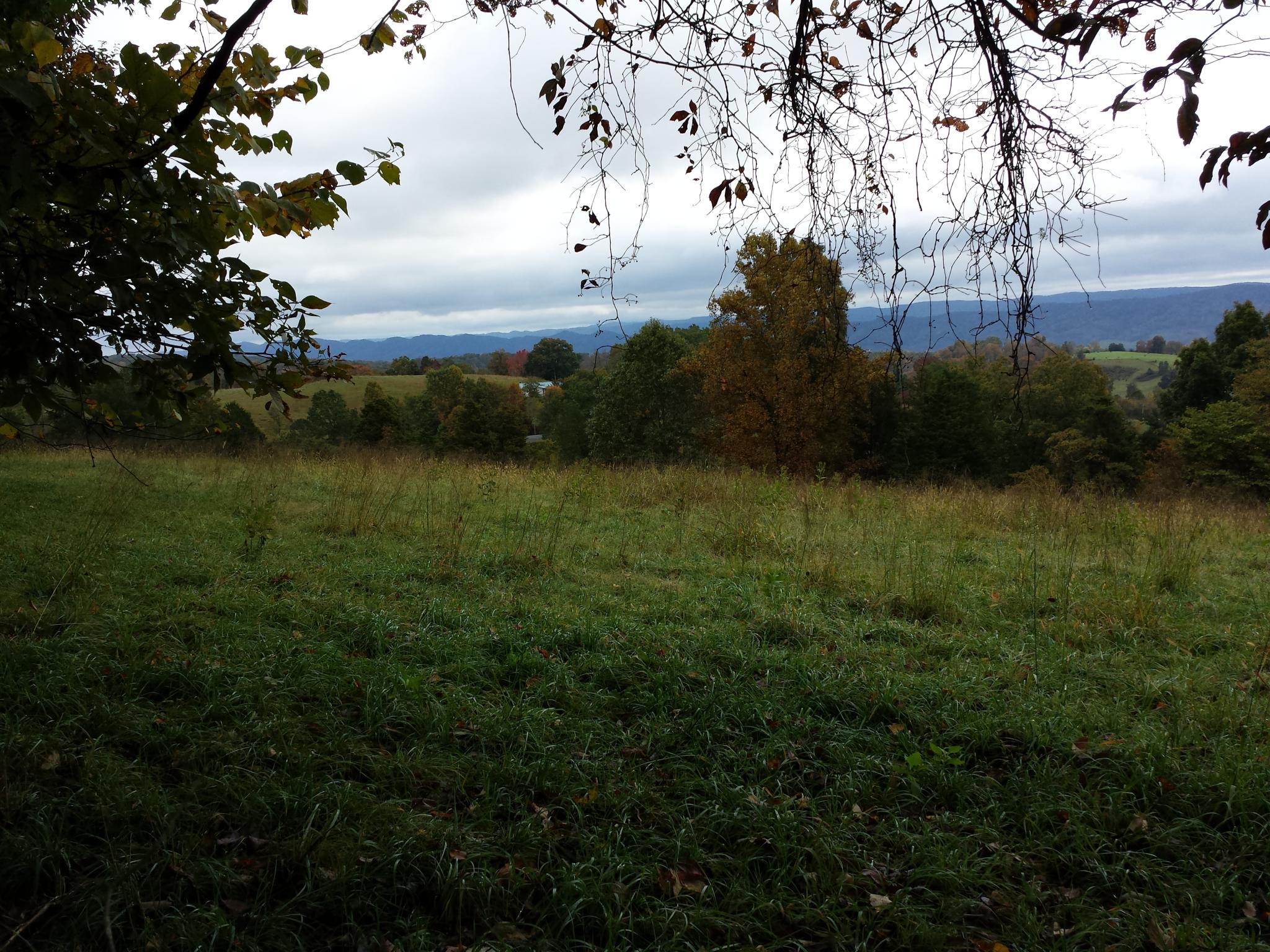
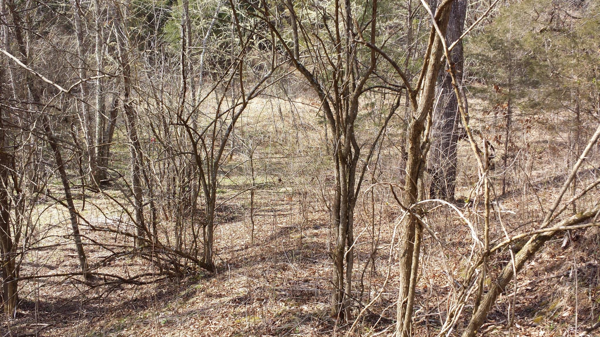
2014-10-16 13.11.45 - This is the view. The field is not part of this property.

2014-10-16 13.11.41 - This is the view. The field is not part of this property.
2014-10-16 13.13.45 - This is the view. The field is not part of this property.

Laura and Kelly enjoying the view in Tennessee.
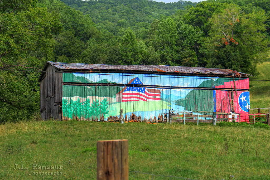
Patriotic Tennessee Barn
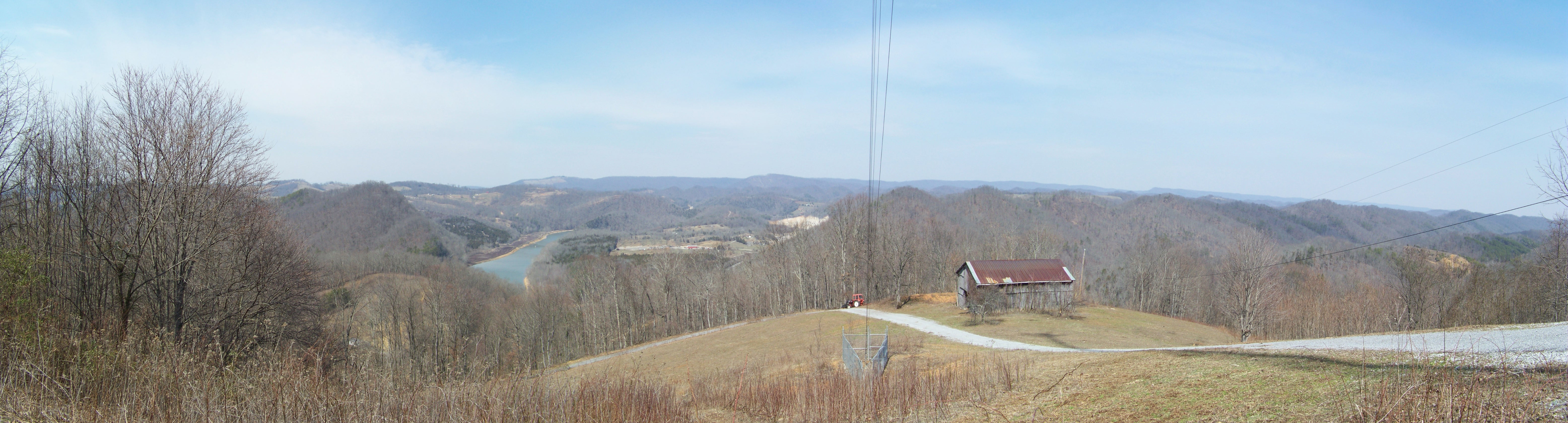
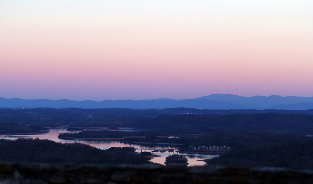
Broken Valley Mtn Top Panaromic View

Mtn top view again from Claiborne Co.

Claiborne County, TN Courthouse - Tazewell, TN
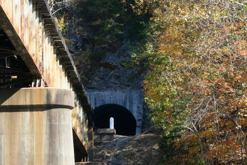
Railroad Bridge & Tunnel on Norris Lake TN

Fall Eagle on Norris Lake TN

Fall Eagle on Norris Lake TN
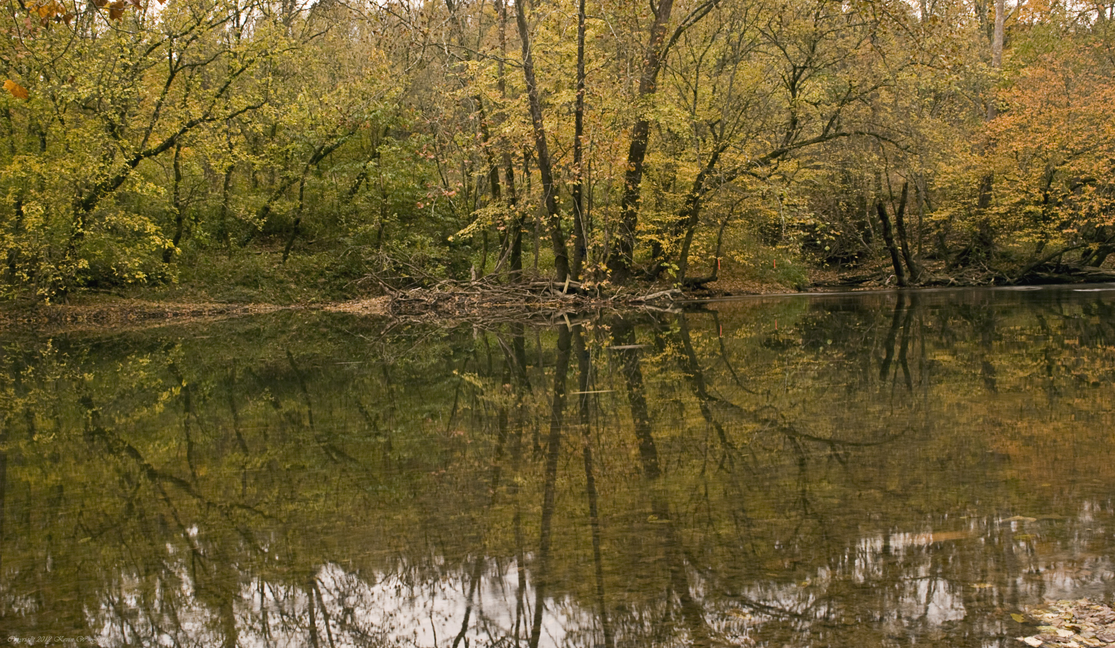
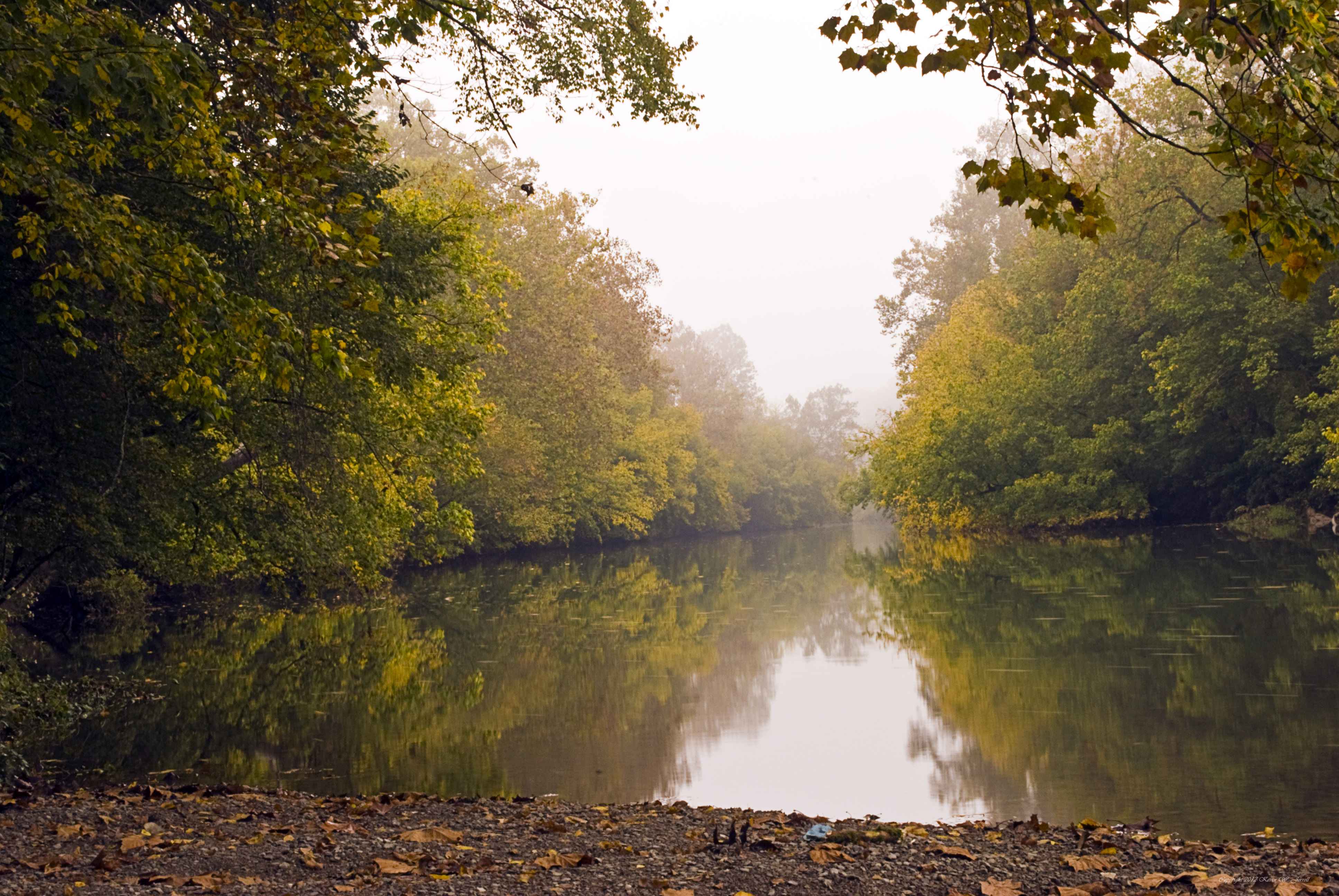
Down By the Riverside

Country Car Wash

Old Dirt Road
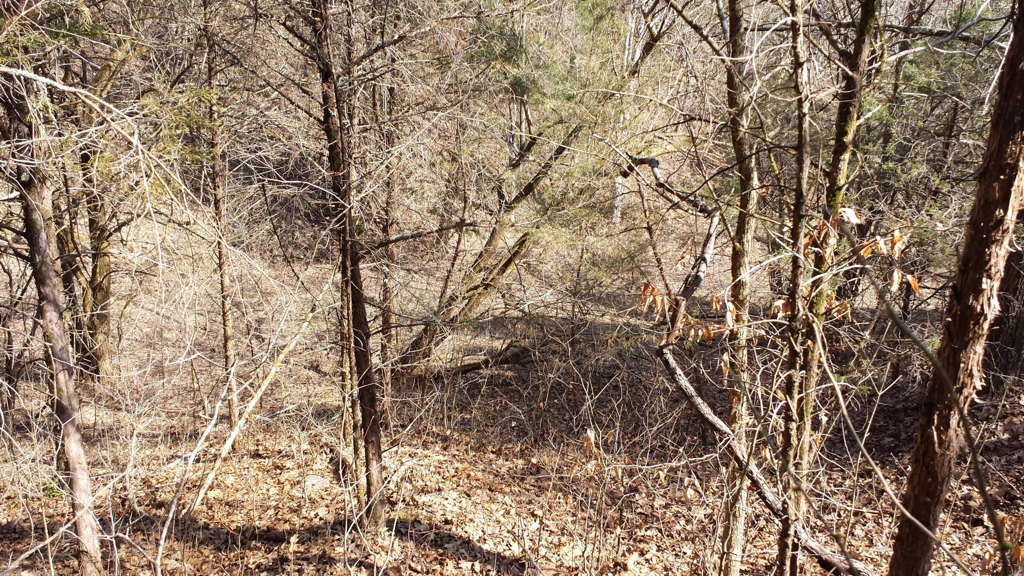
bh-tr29-027

bh-tr29-020
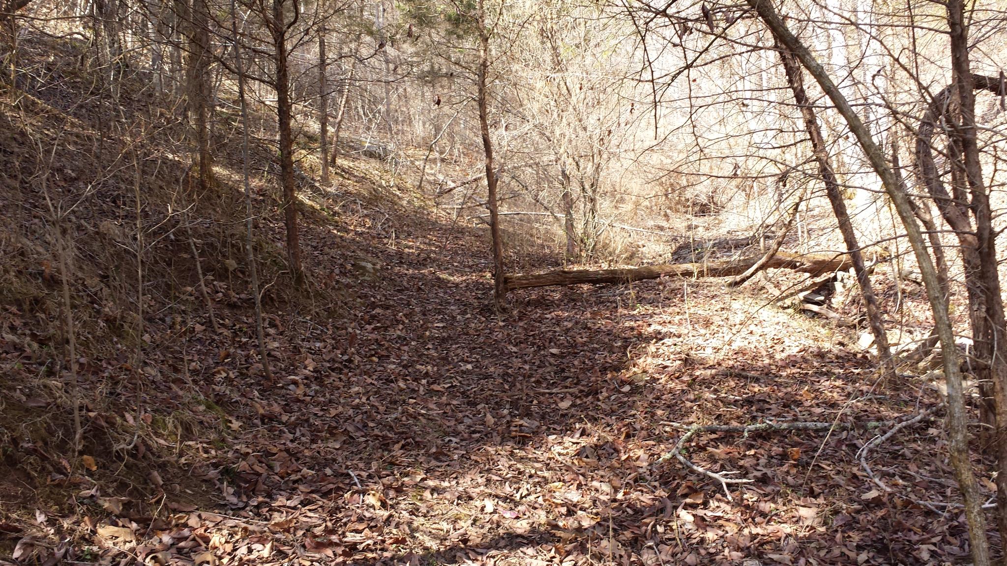
bh-tr29-030
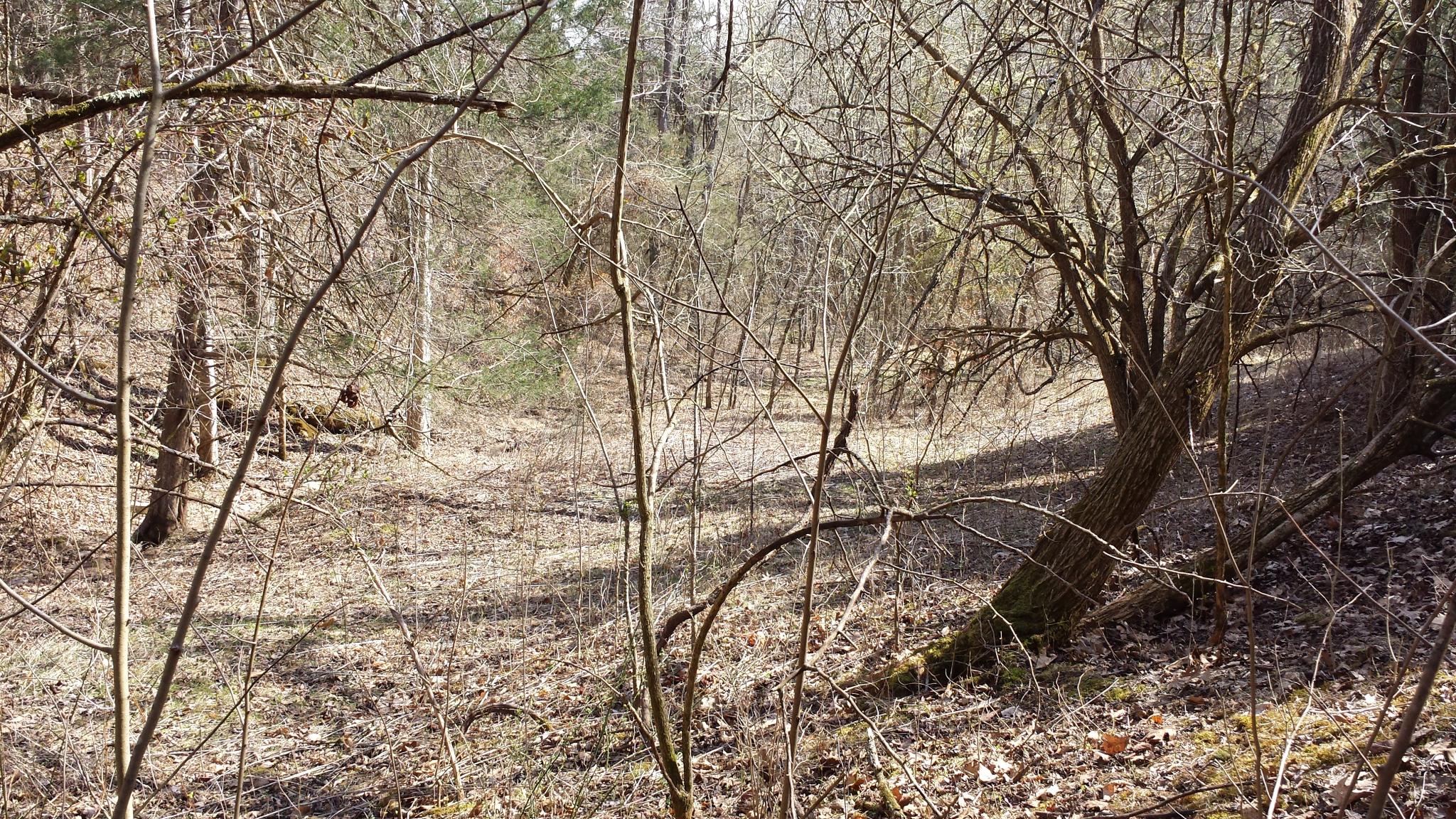
bh-tr29-029
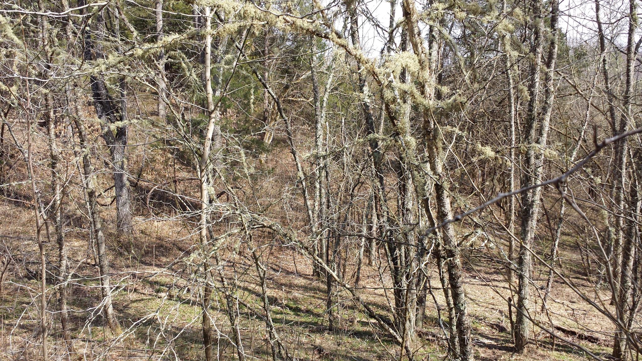
bh-tr29-015
bh-tr29-010
bh-tr29-012

bh-tr29-031
bh-tr29-014

bh-tr29-011
bh-tr29-017
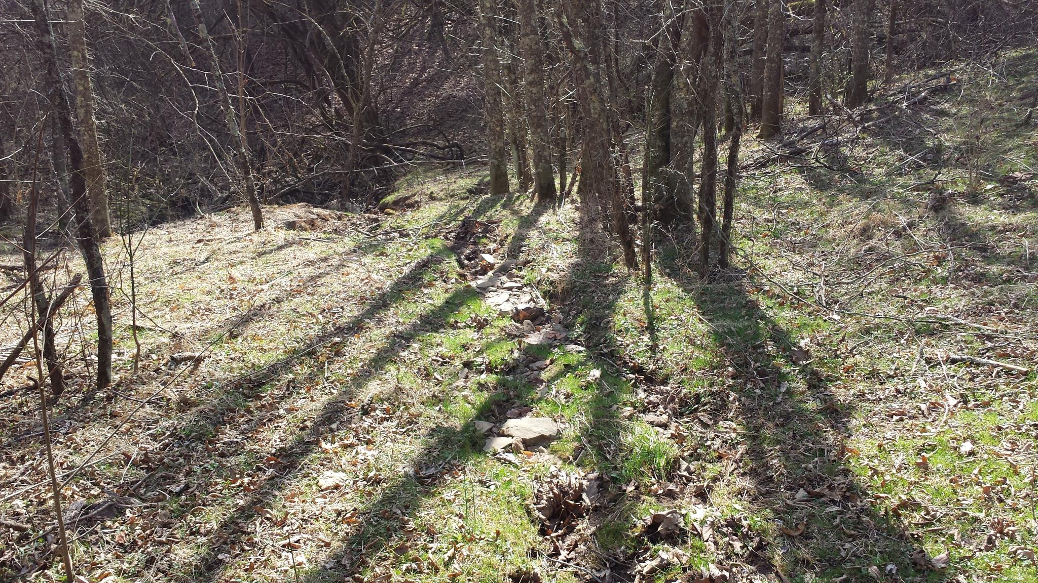
2014-10-16 13.12.17
bh-tr29-024

Elrod Falls lower
2014-10-16 13.07.31
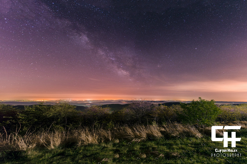
Milky Way Panorama - 12 Images
Bristol TN/VA April 2011
Topographic Map of Upper Caney Valley Rd, Tazewell, TN, USA
Find elevation by address:

Places near Upper Caney Valley Rd, Tazewell, TN, USA:
River Bend Rd, Thorn Hill, TN, USA
Upper Caney Valley Road
260 Shepard Ln
Indian Creek Rd, Thorn Hill, TN, USA
1245 Snake Hollow Rd
Snake Hollow Road
6938 War Creek Rd
1206 Riverside Rd
Big Creek Rd, Sneedville, TN, USA
2470 Little Sycamore Rd
Tazewell, TN, USA
868 Lone Rd
115 Big Sycamore Creek Rd
492 Lower Caney Valley Rd
172 Bailey Ln
Deerwoods Ln, Tazewell, TN, USA
161 Clay Standifer Ln
Poplar Grove Rd, Harrogate, TN, USA
Cave Springs Rd, Tazewell, TN, USA
Tazewell
Recent Searches:
- Elevation of Beall Road, Beall Rd, Florida, USA
- Elevation of Leguwa, Nepal
- Elevation of County Rd, Enterprise, AL, USA
- Elevation of Kolchuginsky District, Vladimir Oblast, Russia
- Elevation of Shustino, Vladimir Oblast, Russia
- Elevation of Lampiasi St, Sarasota, FL, USA
- Elevation of Elwyn Dr, Roanoke Rapids, NC, USA
- Elevation of Congressional Dr, Stevensville, MD, USA
- Elevation of Bellview Rd, McLean, VA, USA
- Elevation of Stage Island Rd, Chatham, MA, USA