Elevation of Indian Creek Rd, Thorn Hill, TN, USA
Location: United States > Tennessee > Grainger County > Thorn Hill >
Longitude: -83.362366
Latitude: 36.4164559
Elevation: 455m / 1493feet
Barometric Pressure: 96KPa
Elevation Map:
Satellite Map:
Related Photos:
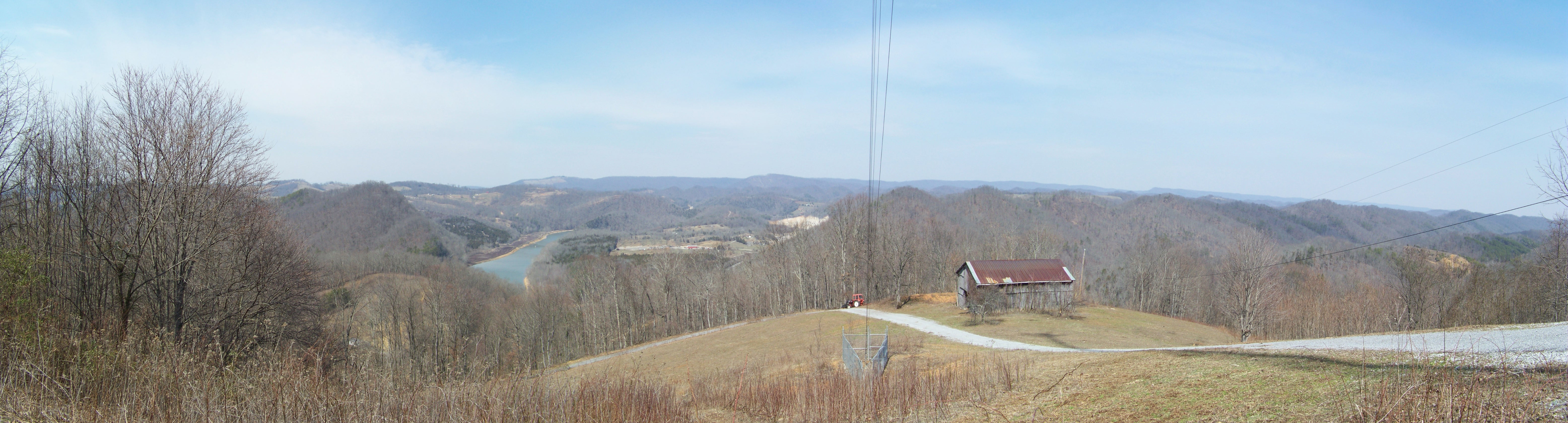
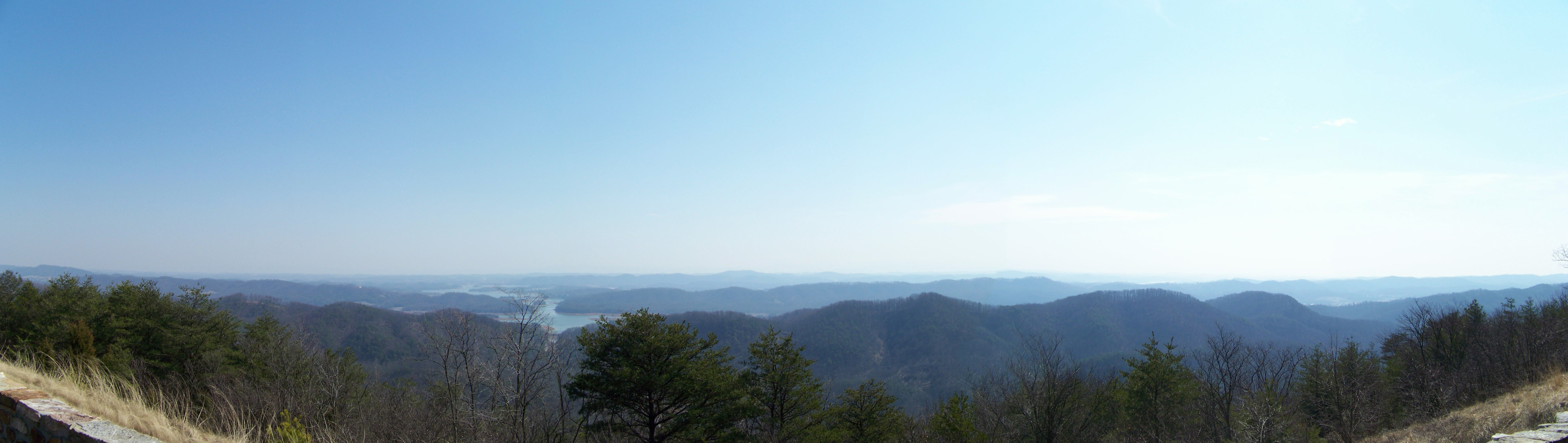
Broken Valley Mtn Top Panaromic View

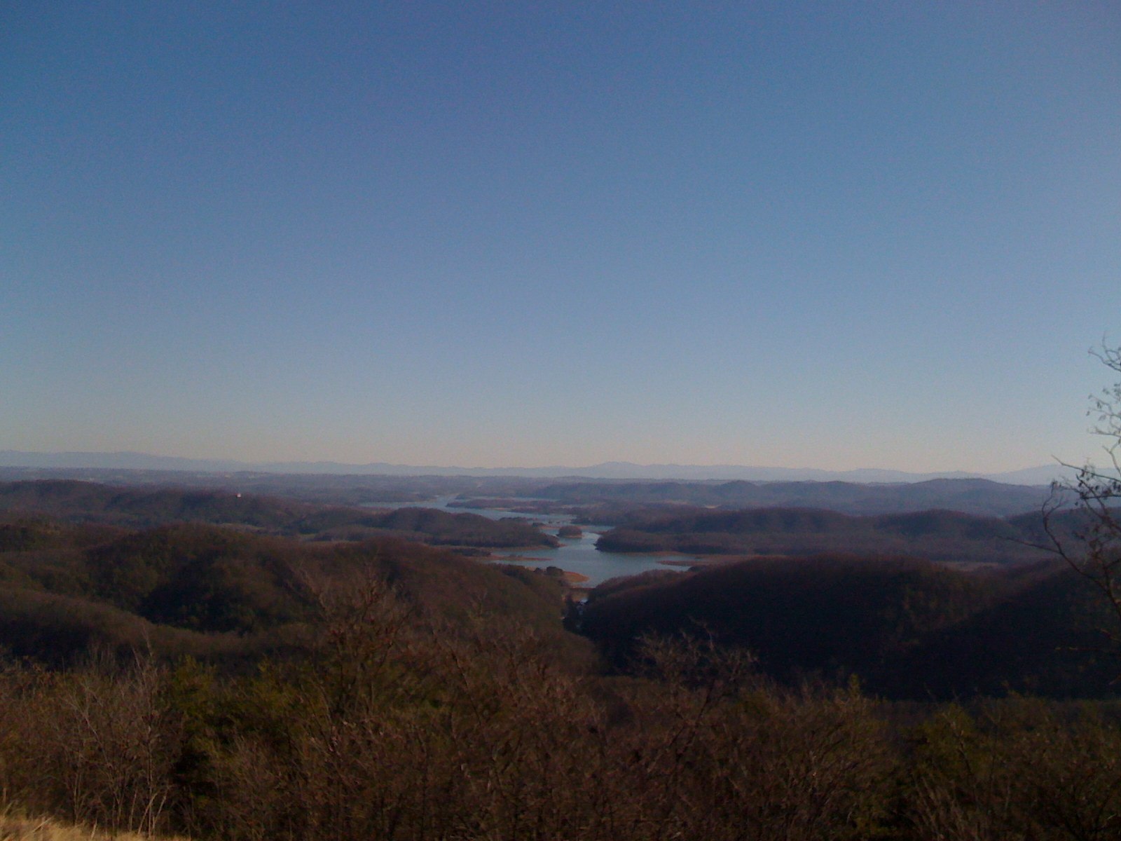
Mtn top view again from Claiborne Co.
2013.06.04.15 Grainger Co.

Milky Way Panorama - 12 Images

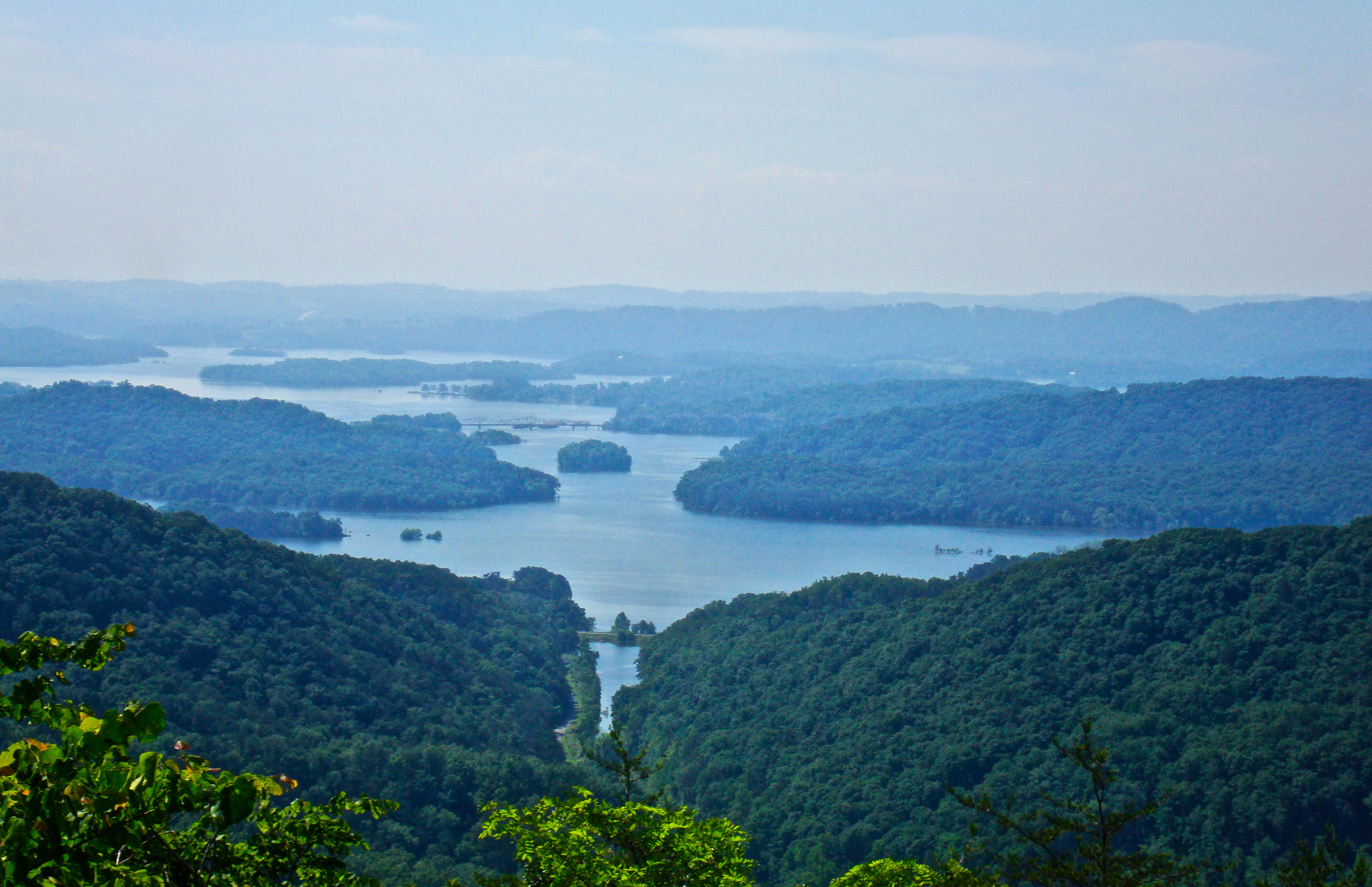
Cherokee Lake In The Fall
Rock Haven

Veteran's Overlook
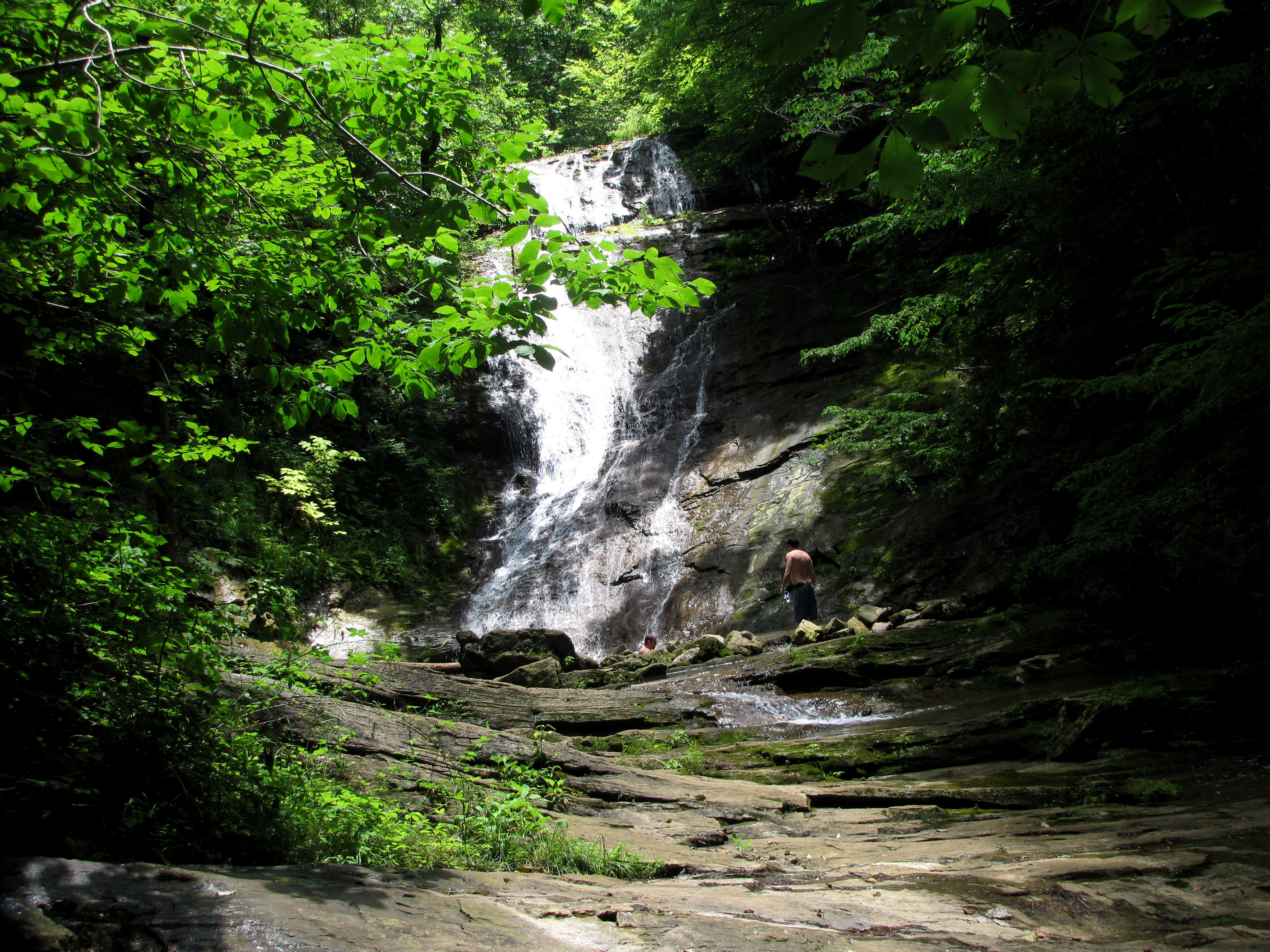
Elrod Falls, Hancock Co, TN

2014-11-04 16.05.07

Panther Creek trail

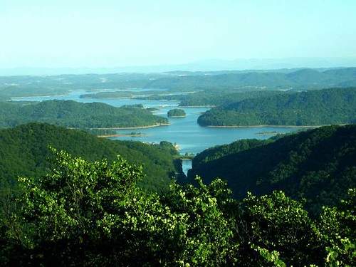
They're flooding this valley

Bristol TN/VA April 2011

Bristol TN/VA April 2011

Bristol TN/VA April 2011

Bristol TN/VA April 2011

Thorn Hill, Tn

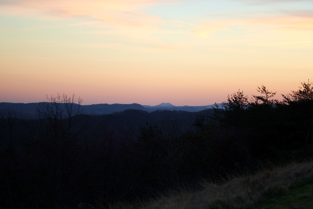
Faded Sunrise

Lake_Cherokee-223.jpg
From Clinch Mtn overlook (1)

On the way to Morristown TN. Beautiful day and overlook. #travel

Great Smoky Mountains 2014
IMG_0121.JPG
Bristol TN/VA April 2011
Topographic Map of Indian Creek Rd, Thorn Hill, TN, USA
Find elevation by address:

Places near Indian Creek Rd, Thorn Hill, TN, USA:
6938 War Creek Rd
260 Shepard Ln
River Bend Rd, Thorn Hill, TN, USA
2405 Upper Caney Valley Rd
Upper Caney Valley Road
Big Creek Rd, Sneedville, TN, USA
868 Lone Rd
1245 Snake Hollow Rd
Snake Hollow Road
1206 Riverside Rd
115 Big Sycamore Creek Rd
2470 Little Sycamore Rd
Tazewell, TN, USA
492 Lower Caney Valley Rd
172 Bailey Ln
Deerwoods Ln, Tazewell, TN, USA
161 Clay Standifer Ln
Poplar Grove Rd, Harrogate, TN, USA
Tazewell
134 Lone Mountain Boat Dock Ln Lot 48
Recent Searches:
- Elevation of Corso Fratelli Cairoli, 35, Macerata MC, Italy
- Elevation of Tallevast Rd, Sarasota, FL, USA
- Elevation of 4th St E, Sonoma, CA, USA
- Elevation of Black Hollow Rd, Pennsdale, PA, USA
- Elevation of Oakland Ave, Williamsport, PA, USA
- Elevation of Pedrógão Grande, Portugal
- Elevation of Klee Dr, Martinsburg, WV, USA
- Elevation of Via Roma, Pieranica CR, Italy
- Elevation of Tavkvetili Mountain, Georgia
- Elevation of Hartfords Bluff Cir, Mt Pleasant, SC, USA