Elevation of Tazewell, TN, USA
Location: United States > Tennessee > Claiborne County >
Longitude: -83.569352
Latitude: 36.45425
Elevation: 417m / 1368feet
Barometric Pressure: 96KPa
Elevation Map:
Satellite Map:
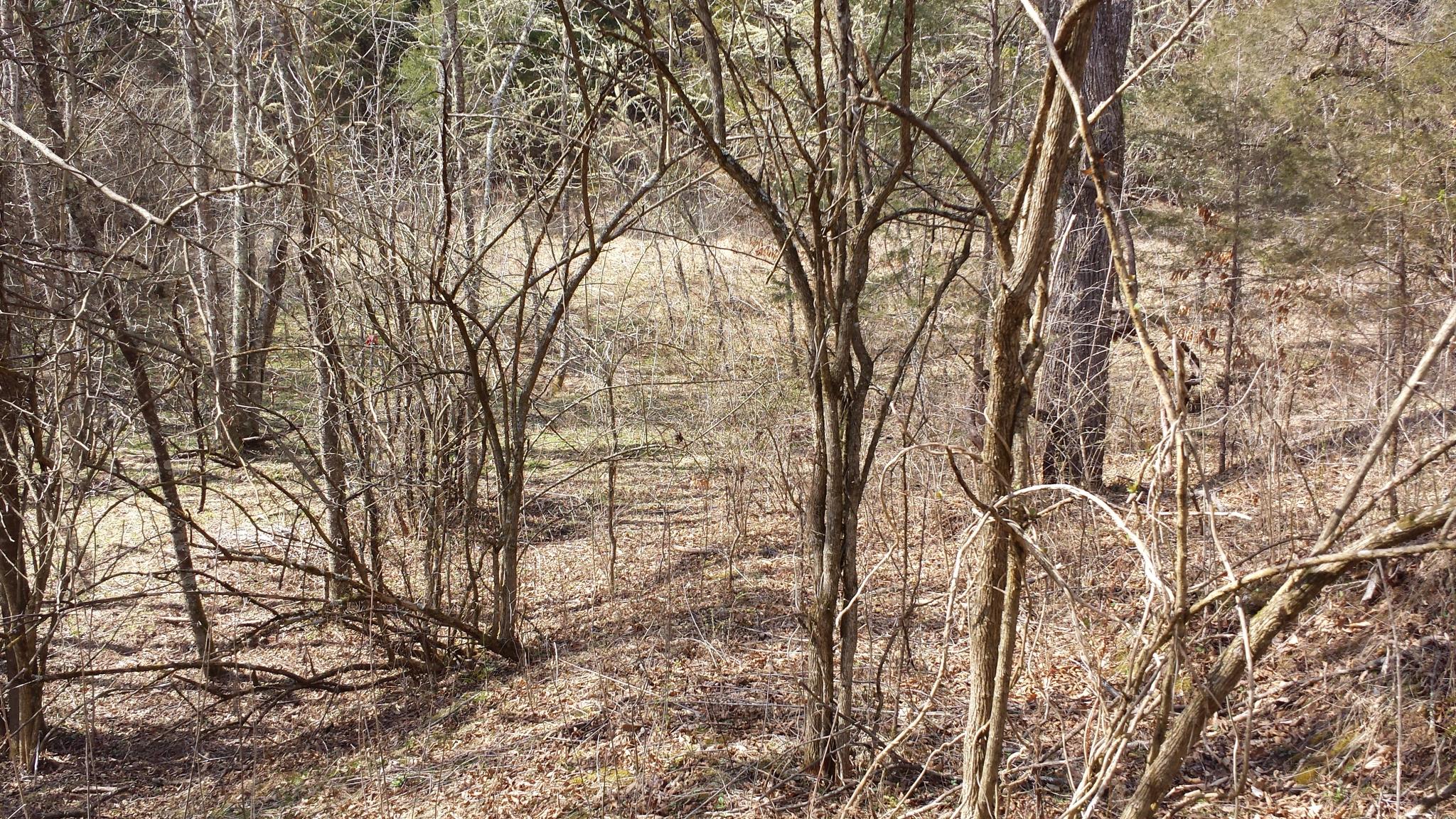
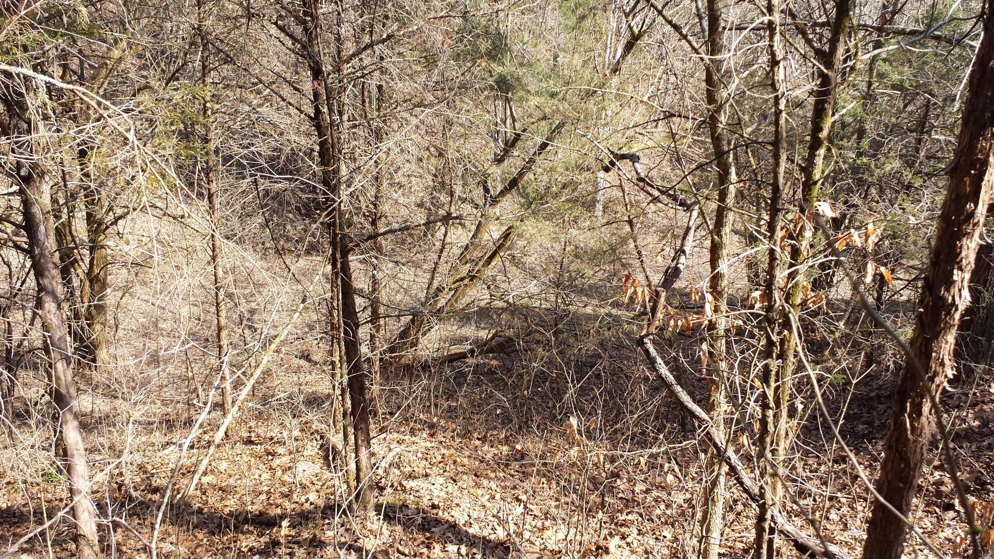
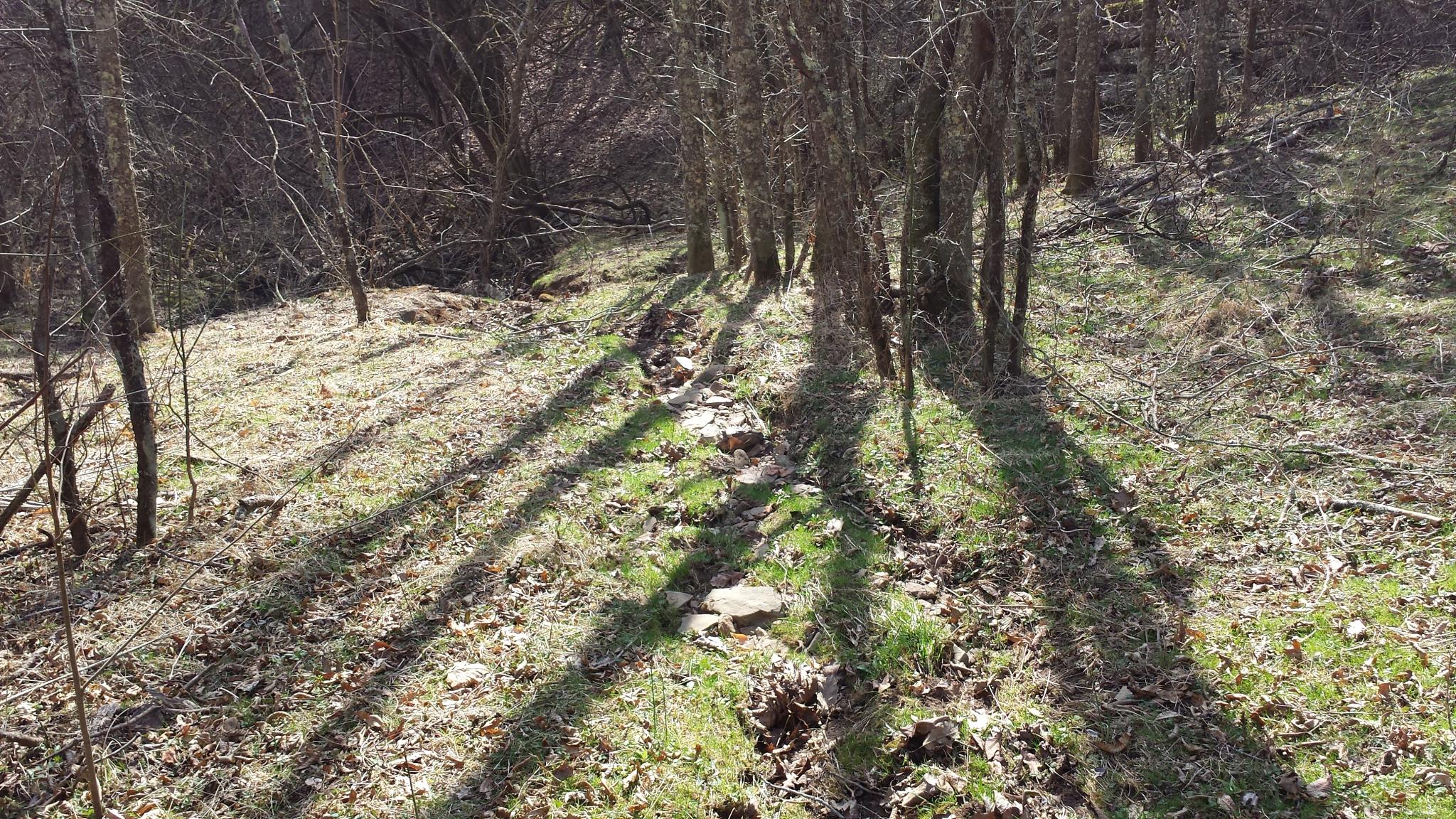
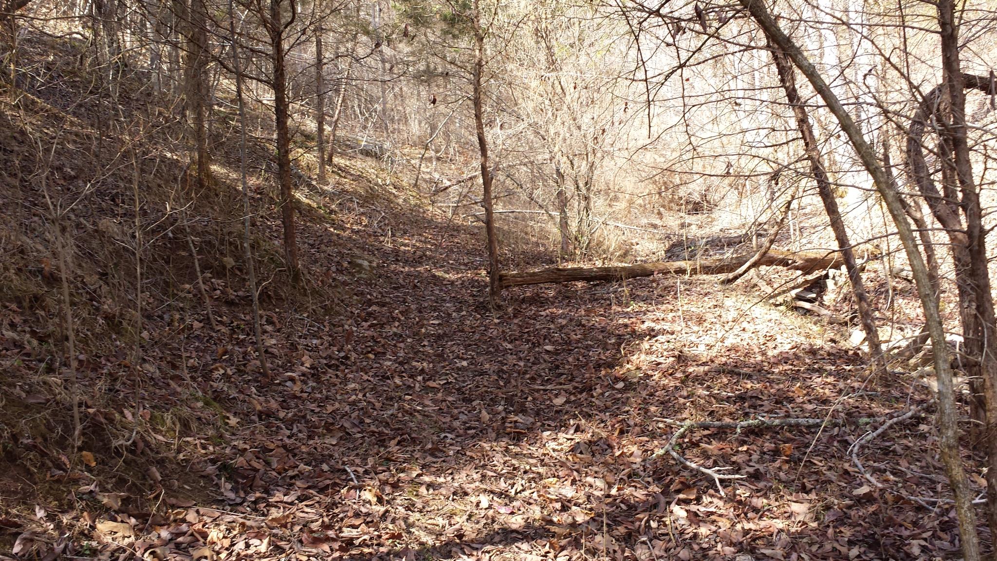
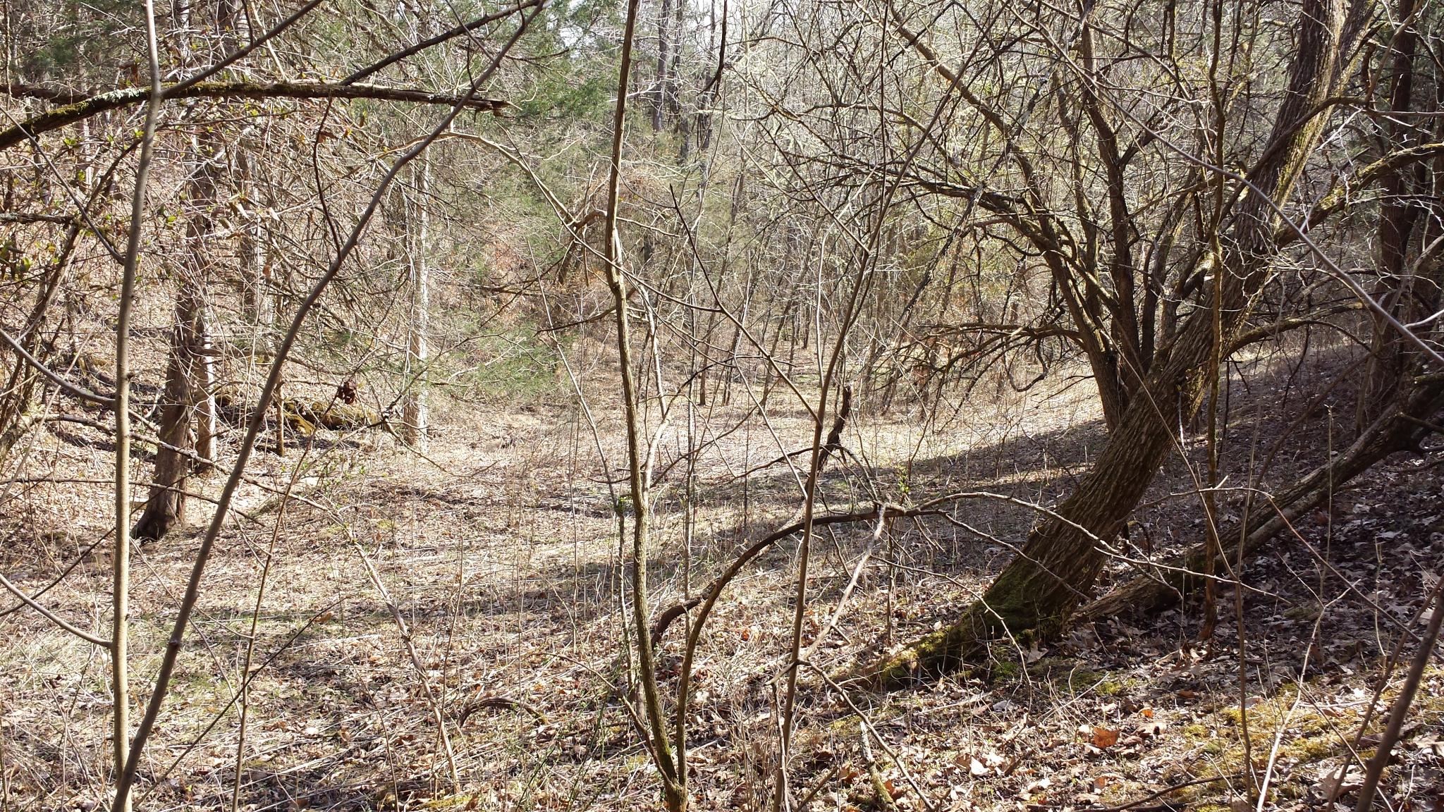
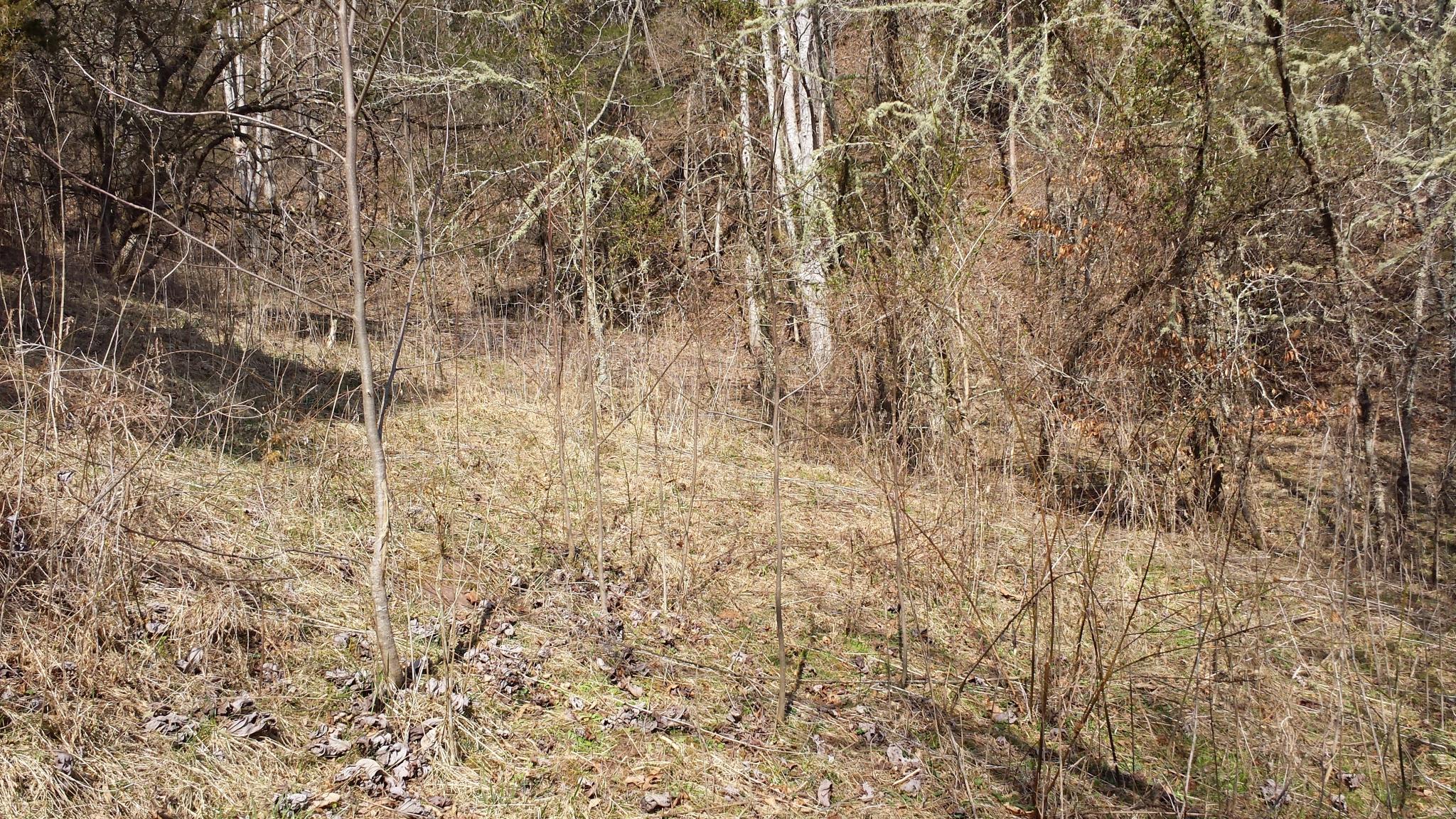
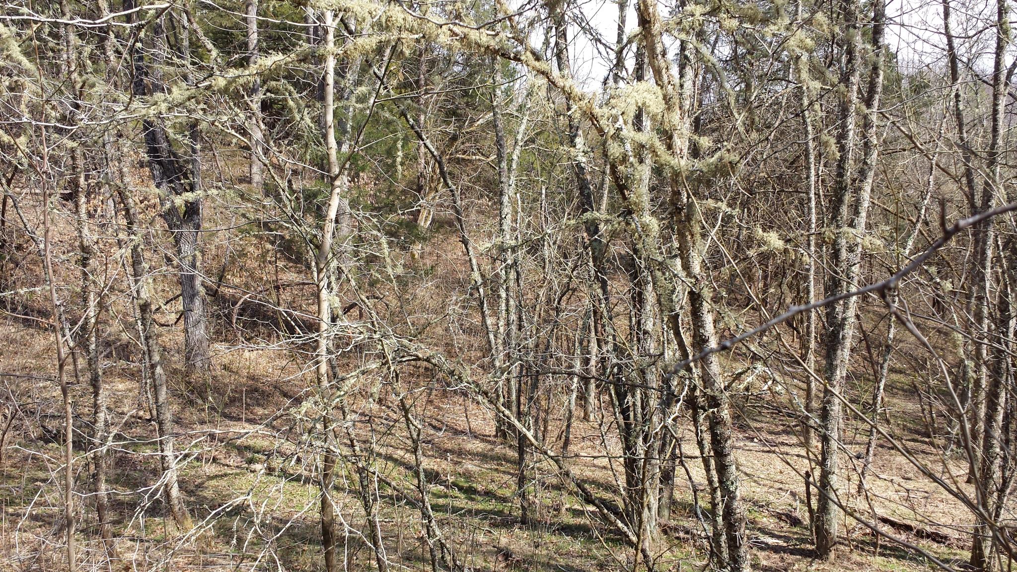
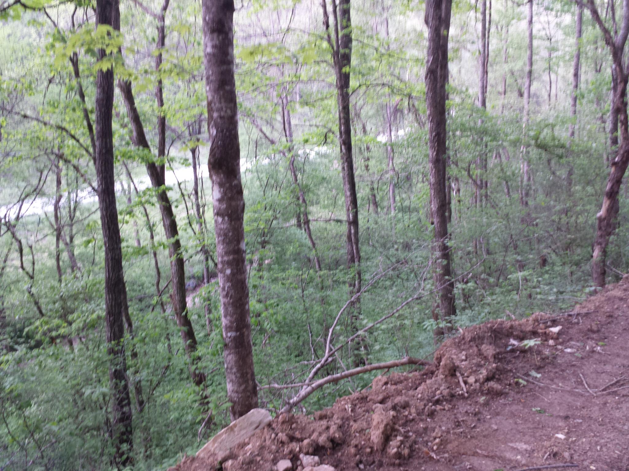
Related Photos:

Bluish-purple Wild Flower I

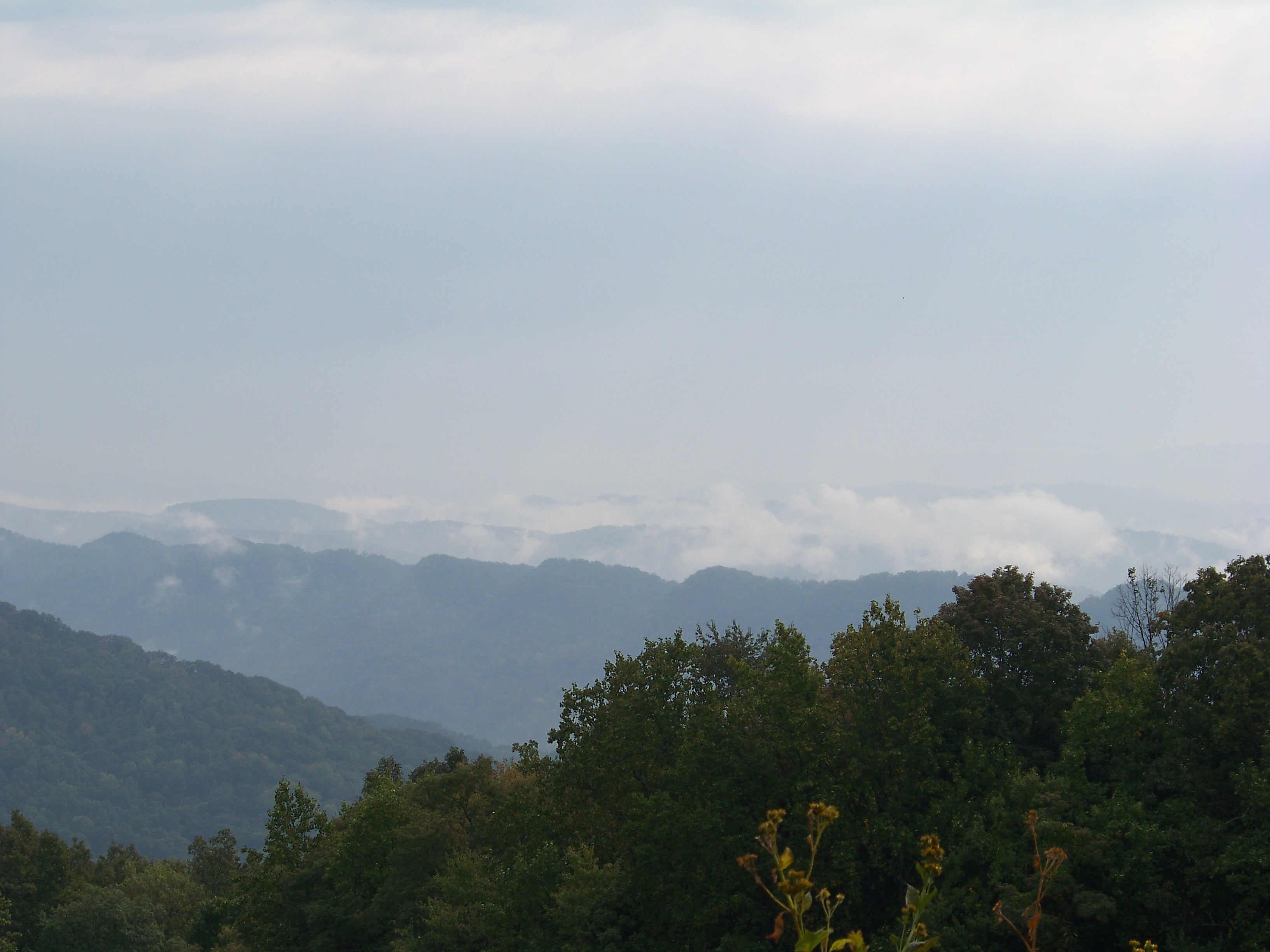
2014-10-16 13.11.41 - This is the view. The field is not part of this property.
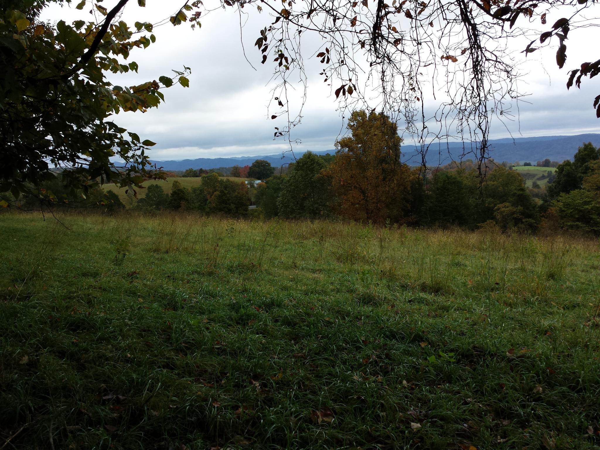
2014-10-16 13.11.45 - This is the view. The field is not part of this property.
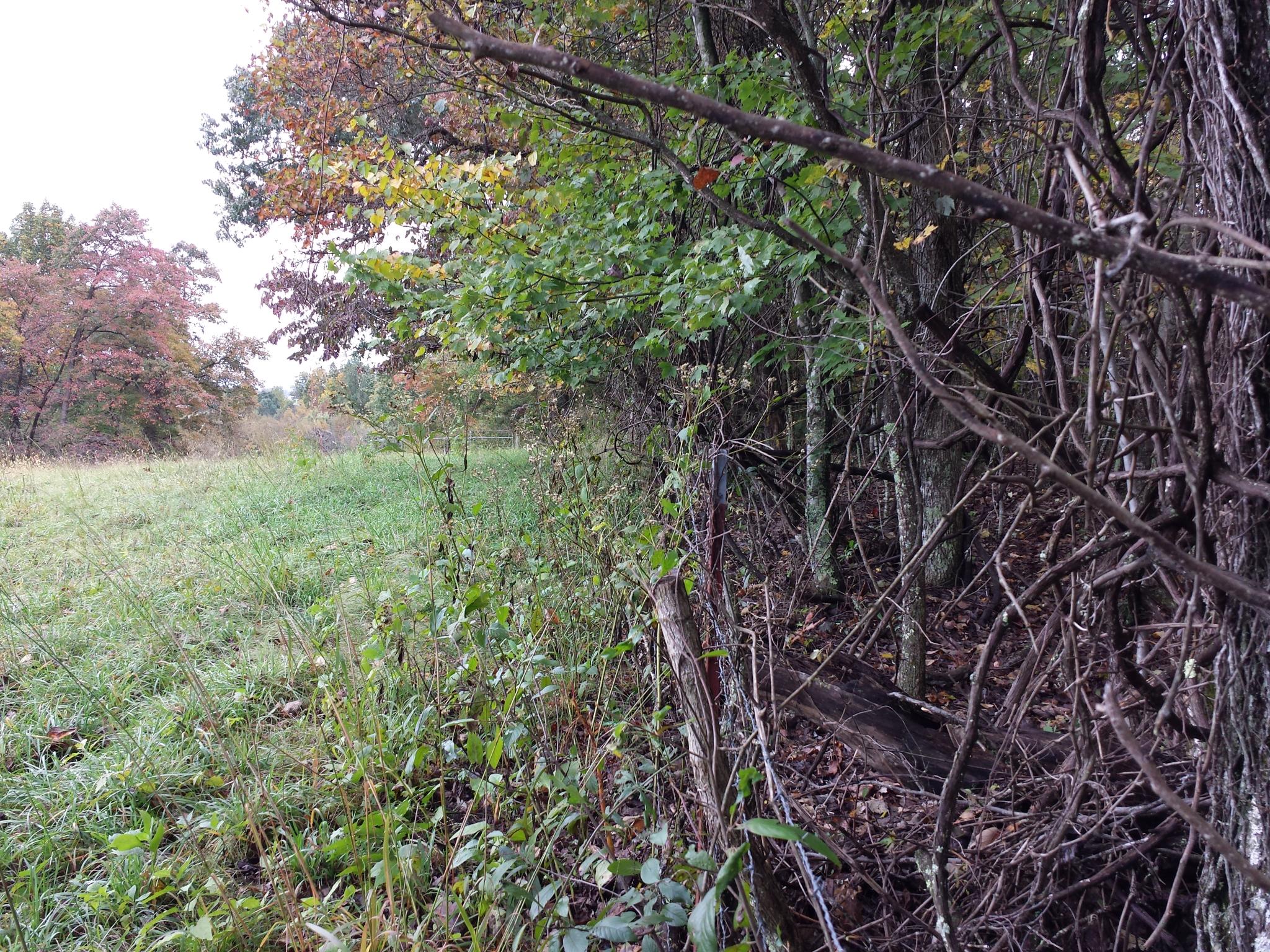
2014-10-16 13.13.45 - This is the view. The field is not part of this property.
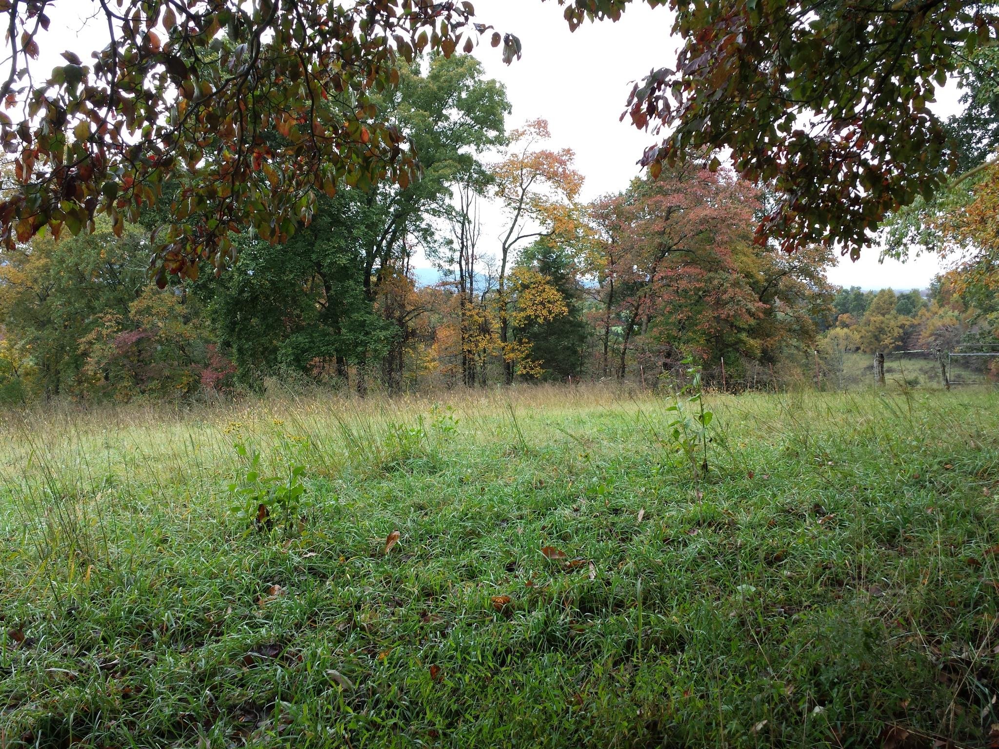
2014-10-16 13.11.51 - This is the view. The field is not part of this property.
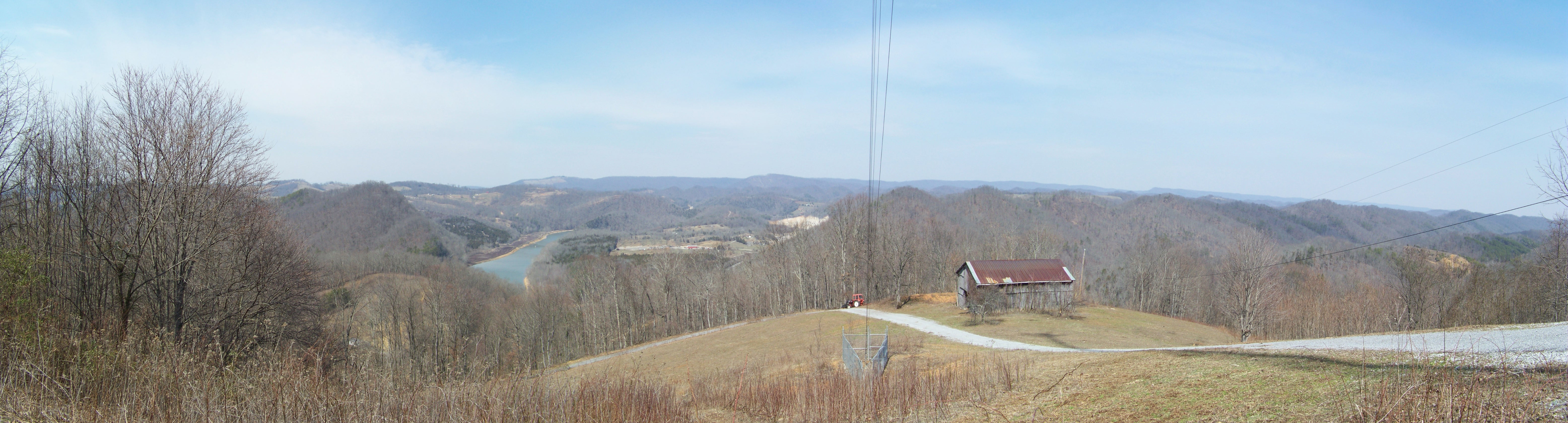
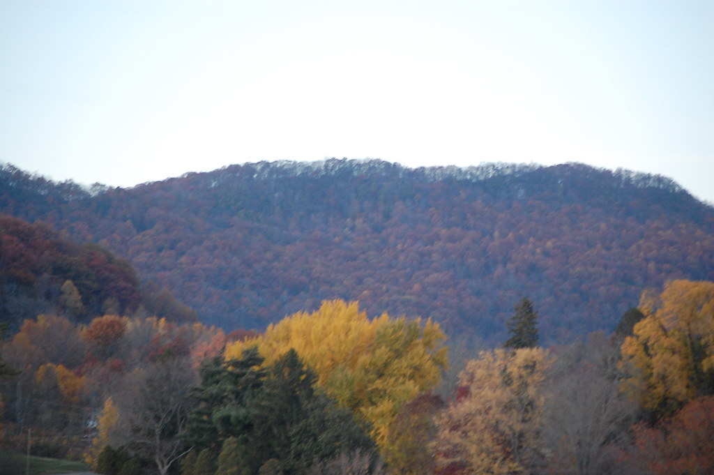
Broken Valley Mtn Top Panaromic View

Mtn top view again from Claiborne Co.
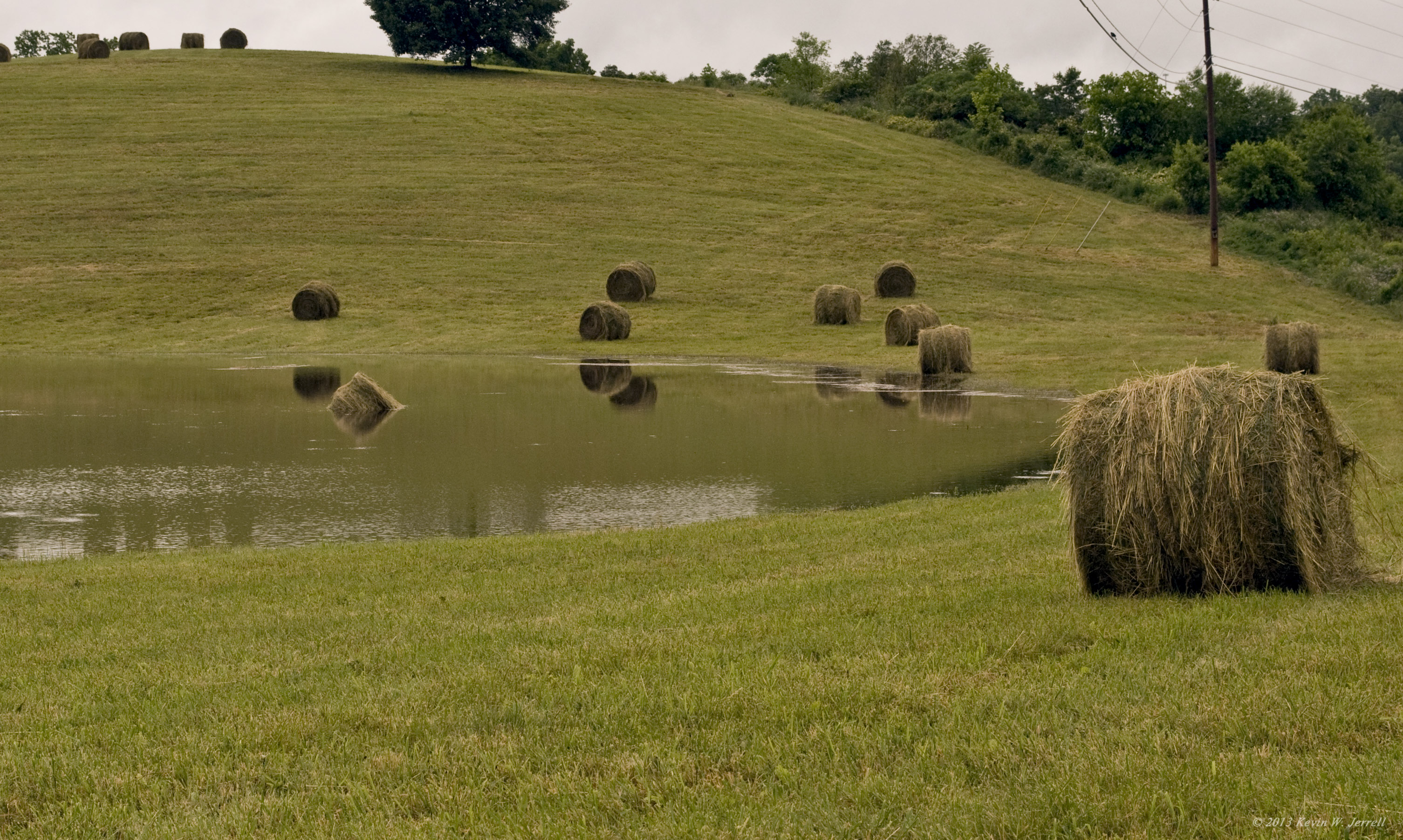
Drowned Hay
lv-tr10-040
bh-tr29-009
Harrogate Area

bh-tr29-022

bh-tr29-031
Looking toward Clinch Mtn

bh-tr29-023
bh-tr29-010
bh-tr29-027
bh-tr29-012
bh-tr29-030

bh-tr29-020
bh-tr29-029
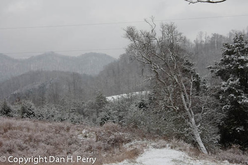
2010_12_25_0167_Christmas.jpg
bh-tr29-014
Harrogate Area
bh-tr29-015

lv-030
lv-tr7-002

bh-tr29-011
Topographic Map of Tazewell, TN, USA
Find elevation by address:

Places in Tazewell, TN, USA:
Shade Pressnell Rd, Tazewell, TN, USA
Cave Springs Rd, Tazewell, TN, USA
Deerwoods Ln, Tazewell, TN, USA
Ferguson Ridge Rd, Tazewell, TN, USA
Tazewell Road
Tazewell, TN, USA
Upper Caney Valley Road
Places near Tazewell, TN, USA:
Tazewell Road
Shade Pressnell Rd, Tazewell, TN, USA
161 Clay Standifer Ln
New Tazewell
Deerwoods Ln, Tazewell, TN, USA
Cave Springs Rd, Tazewell, TN, USA
172 Bailey Ln
420 Baird Ln
134 Lone Mountain Boat Dock Ln Lot 48
622 Minton Hollow Rd
Claiborne County
303 Rutherford Dr
Clouds Rd, New Tazewell, TN, USA
Tazewell, TN, USA
492 Lower Caney Valley Rd
575 Benfield Ln
575 Benfield Ln
Cosby Ridge Road
316 Cosby Ridge Rd
316 Cosby Ridge Rd
Recent Searches:
- Elevation of Corso Fratelli Cairoli, 35, Macerata MC, Italy
- Elevation of Tallevast Rd, Sarasota, FL, USA
- Elevation of 4th St E, Sonoma, CA, USA
- Elevation of Black Hollow Rd, Pennsdale, PA, USA
- Elevation of Oakland Ave, Williamsport, PA, USA
- Elevation of Pedrógão Grande, Portugal
- Elevation of Klee Dr, Martinsburg, WV, USA
- Elevation of Via Roma, Pieranica CR, Italy
- Elevation of Tavkvetili Mountain, Georgia
- Elevation of Hartfords Bluff Cir, Mt Pleasant, SC, USA