Elevation of Clouds Rd, New Tazewell, TN, USA
Location: United States > Tennessee > Claiborne County > New Tazewell >
Longitude: -83.649732
Latitude: 36.459
Elevation: 412m / 1352feet
Barometric Pressure: 96KPa
Elevation Map:
Satellite Map:
Related Photos:
Virginia view

Bluish-purple Wild Flower I
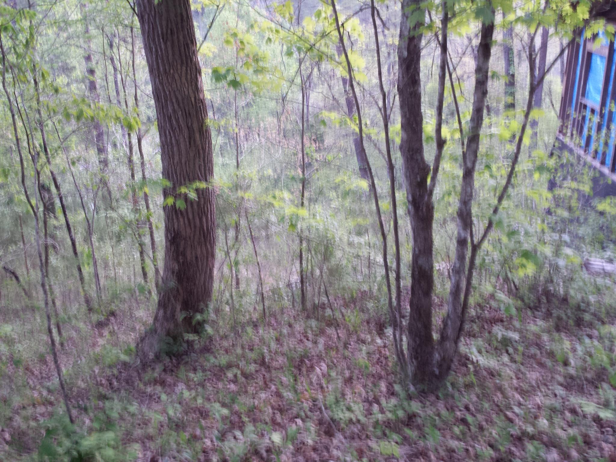
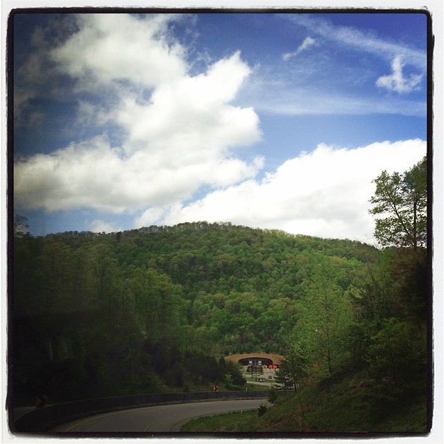
View up the Mountain.
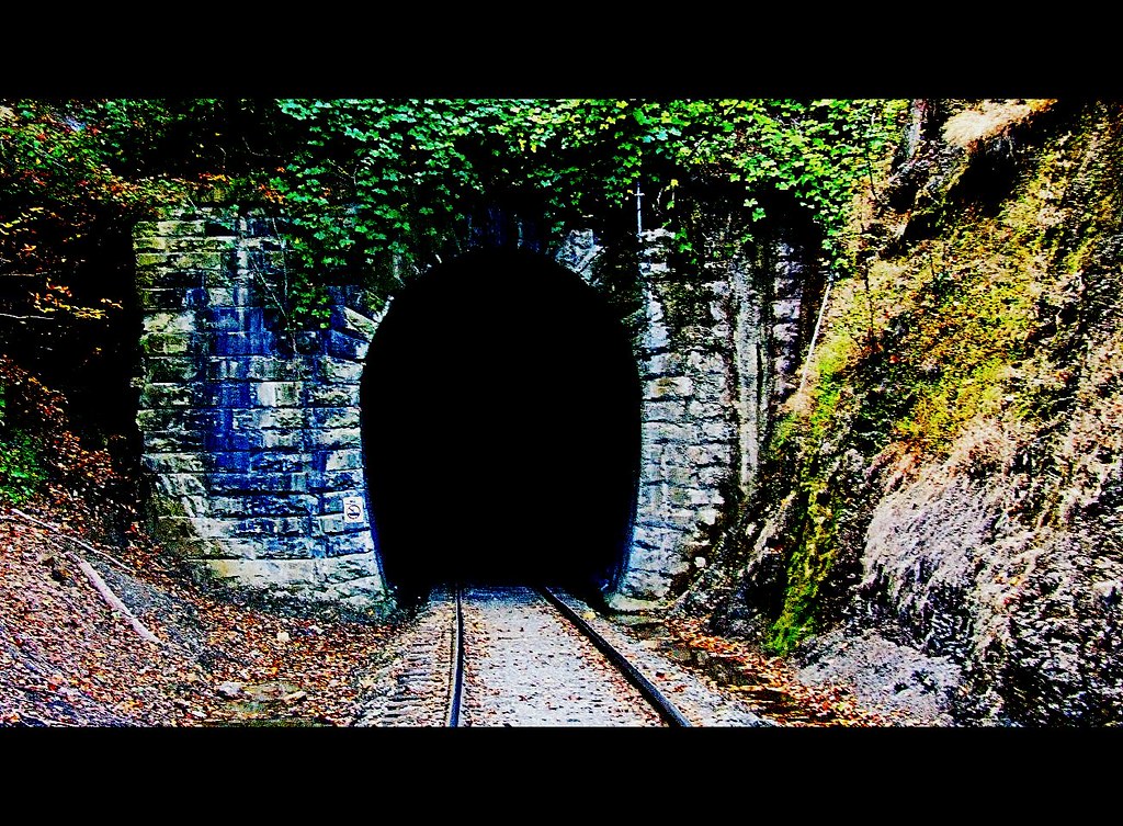
View from Cumberland Gap Tunnel
Right up the chimney
Hold the Line
*
Town of Cumberland Gap

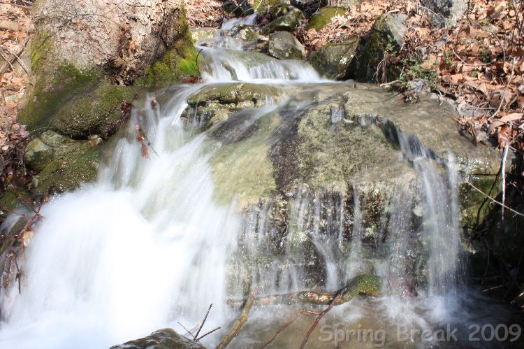
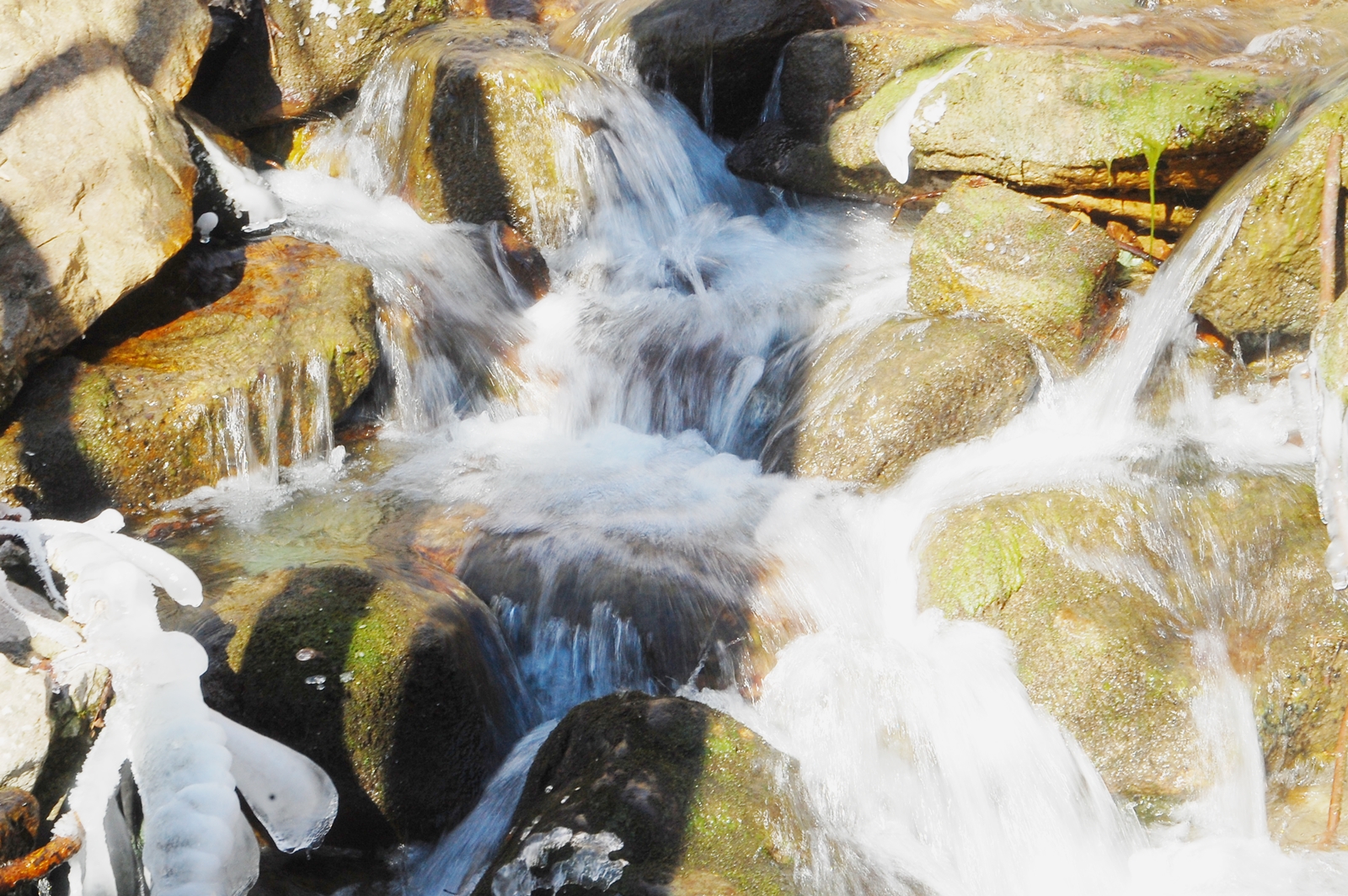
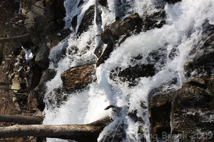
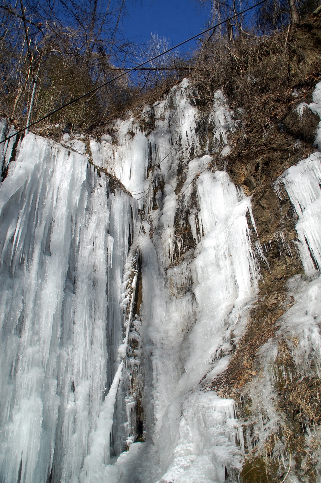
Cumberland Gap Iron Forge cascading waterfall
Must Be the Top

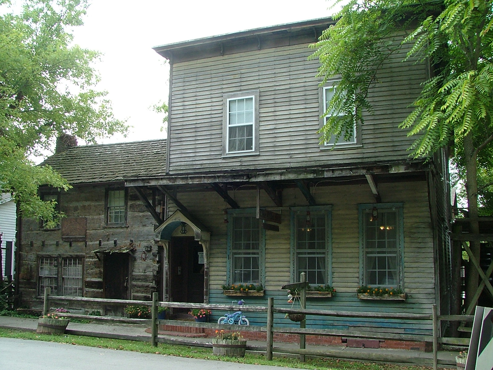
OMB&B, Front view
OMB&B, Slightly side view
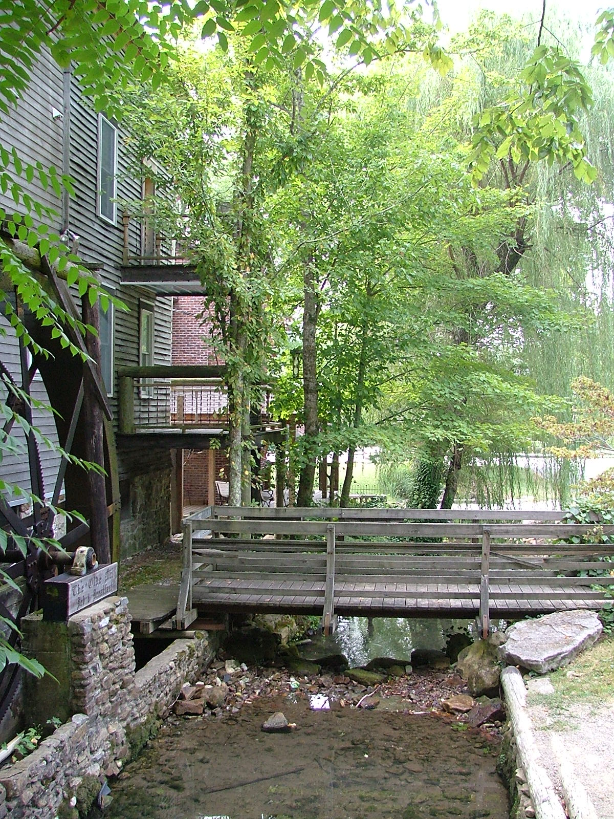
OMB&B, Creek view
Gen X and Gen Y was Here
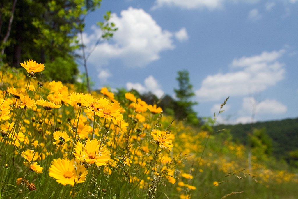
A Hillside of Yellow
Sunrise over norris lake
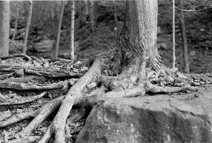
Roots and Rock
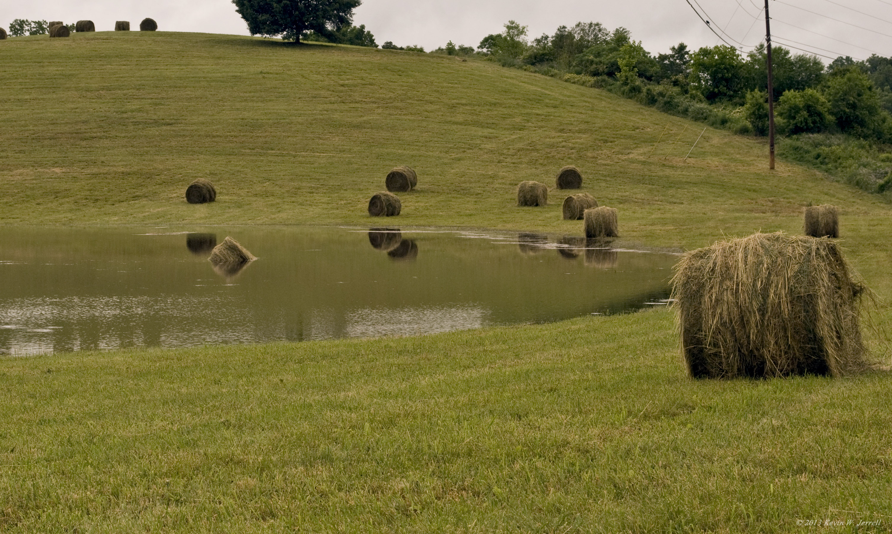
Drowned Hay

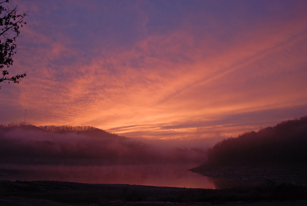
Fog Over The Mountains
Cumberland Gap, TN
lv-tr10-040
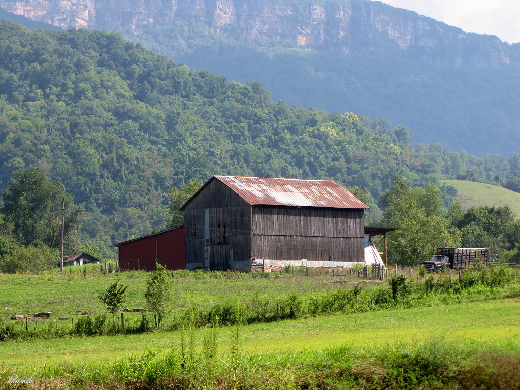
Virginia Barn

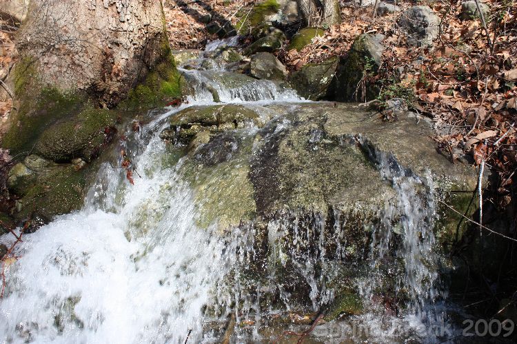
Gap Creek 8, Cumberland Gap TN 1-24-2014
Gap Creek 12, Cumberland Gap TN 1-24-2014
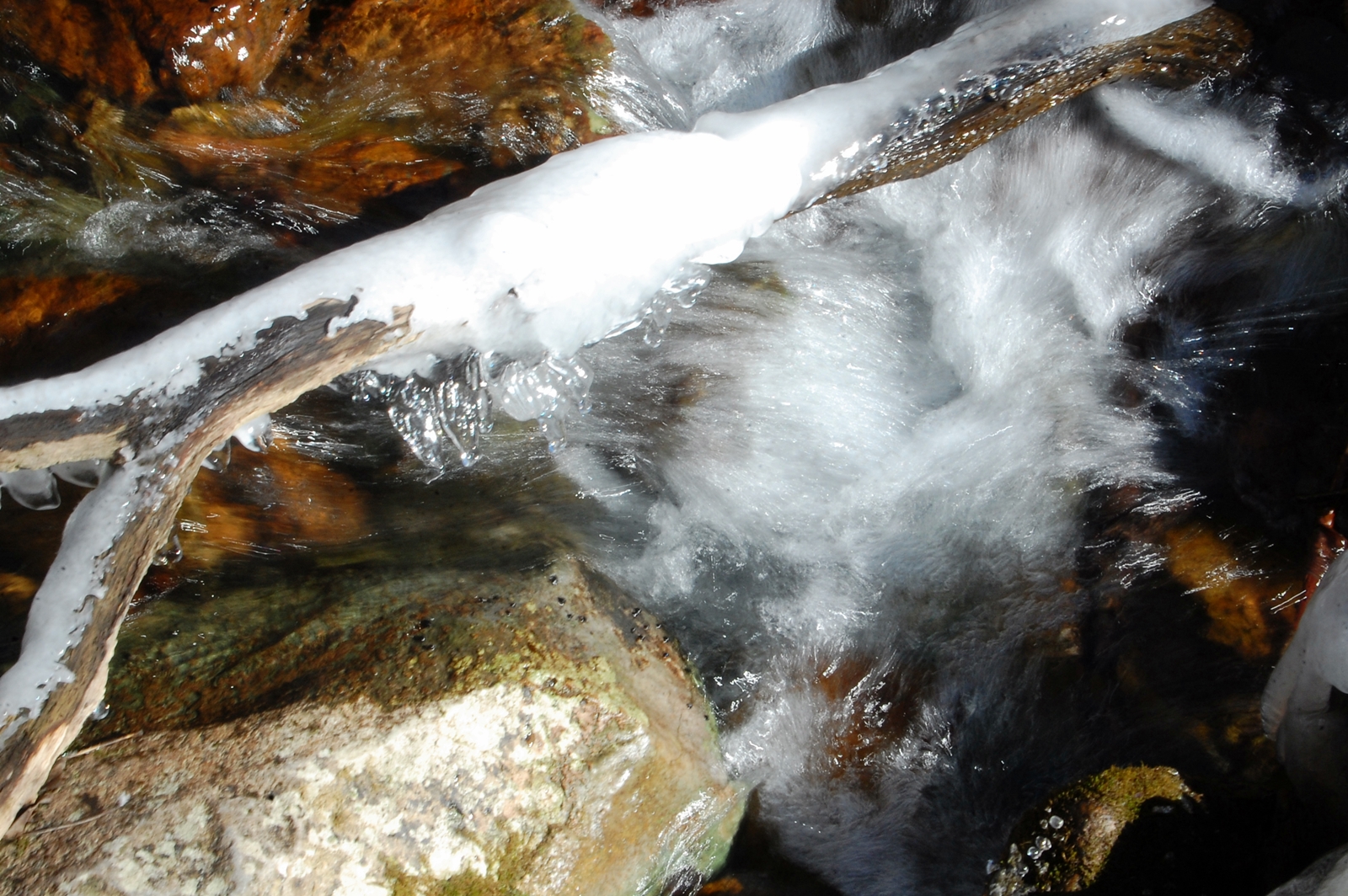
Gap Creek 7, Cumberland Gap TN 1-24-2014
#kentucky #travel #cumberlandgap #tunnel
Tri-State Peak
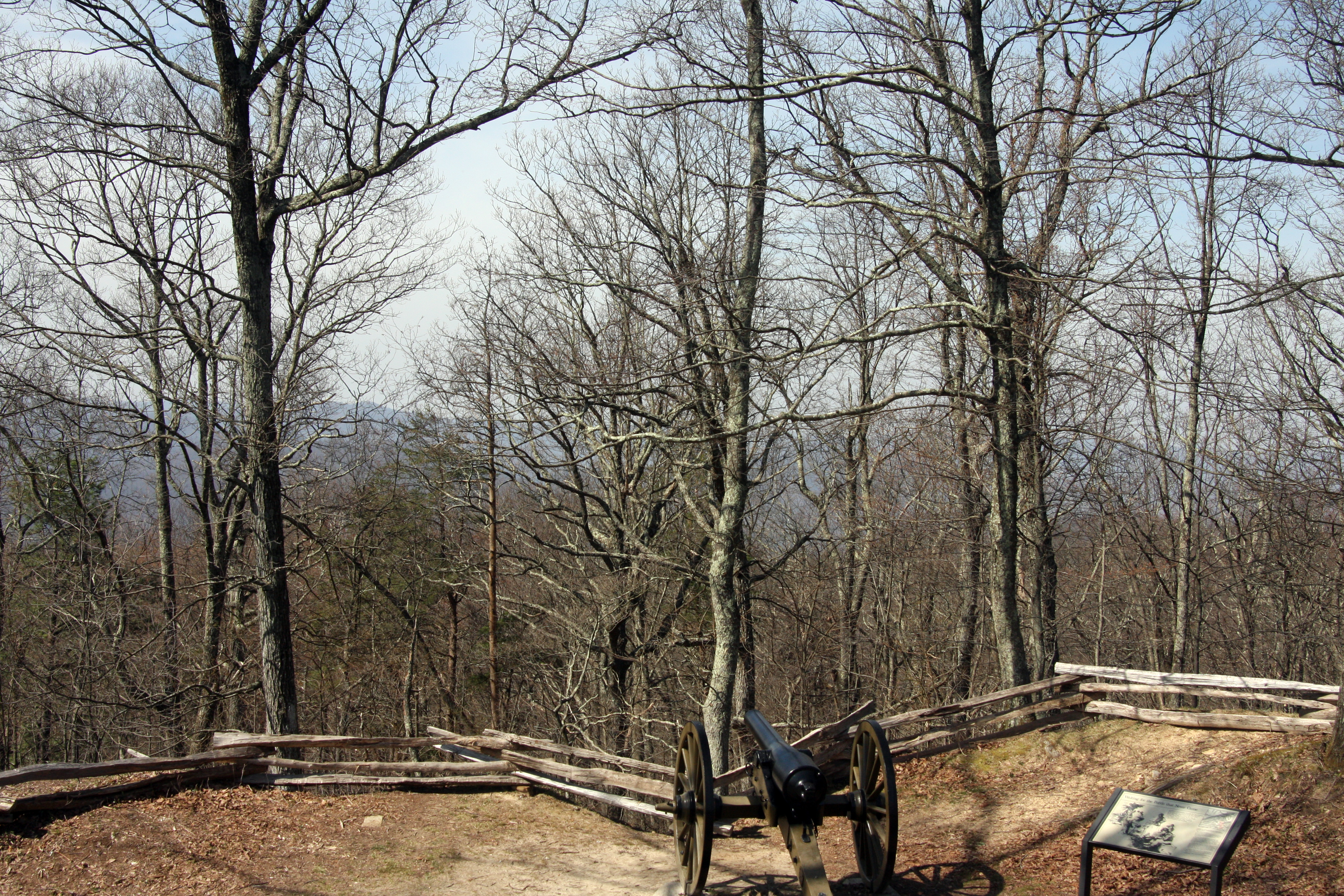
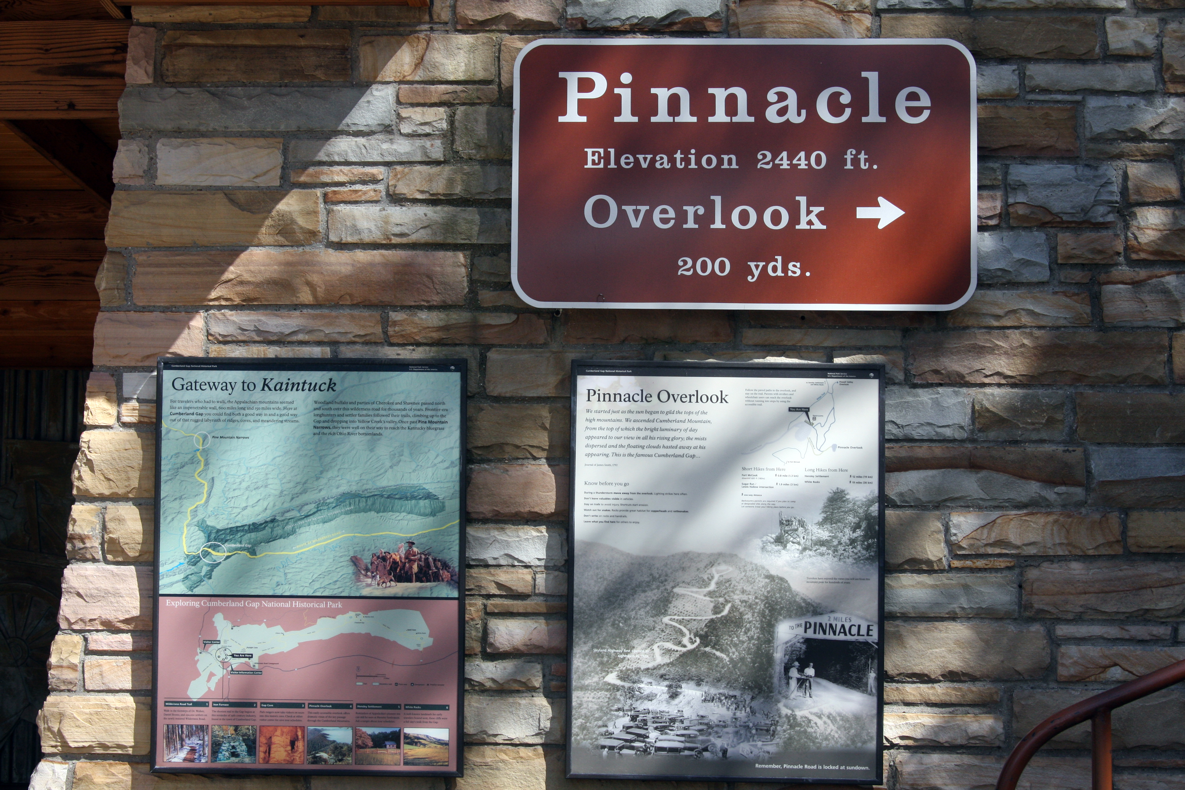
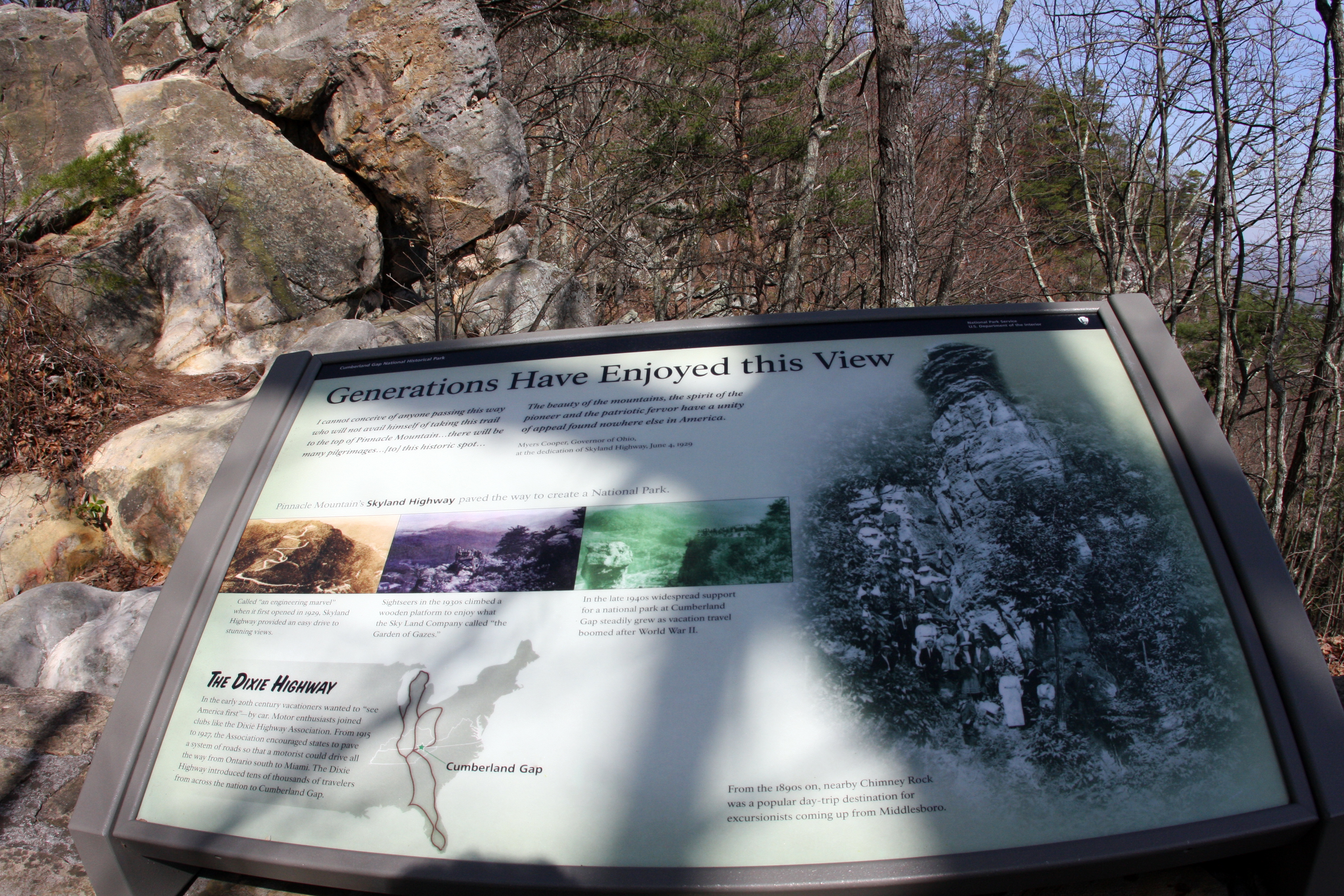
Cumberland Gap National Historical Park (Ky./Tenn./Va.), 8 October 1987
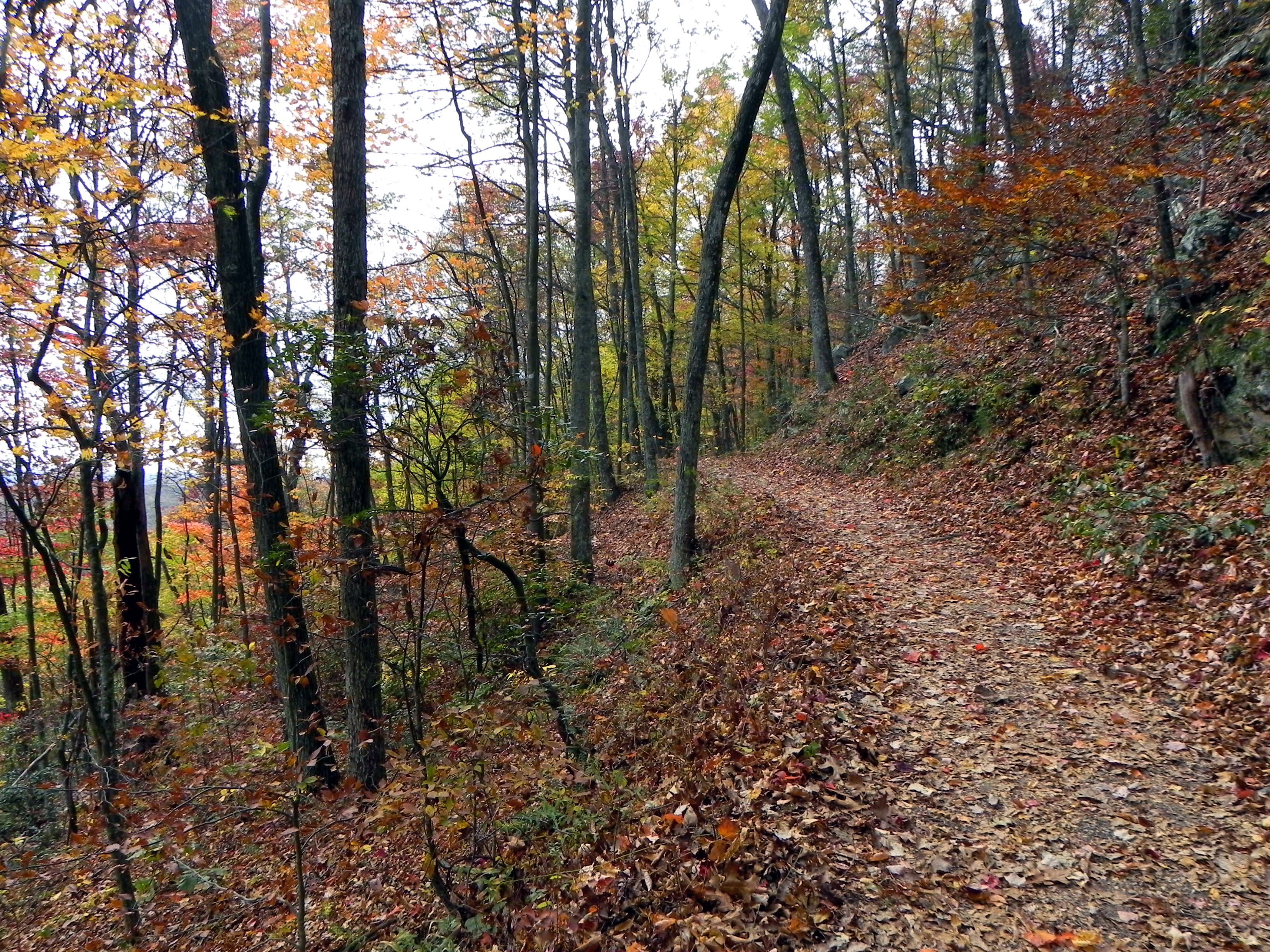
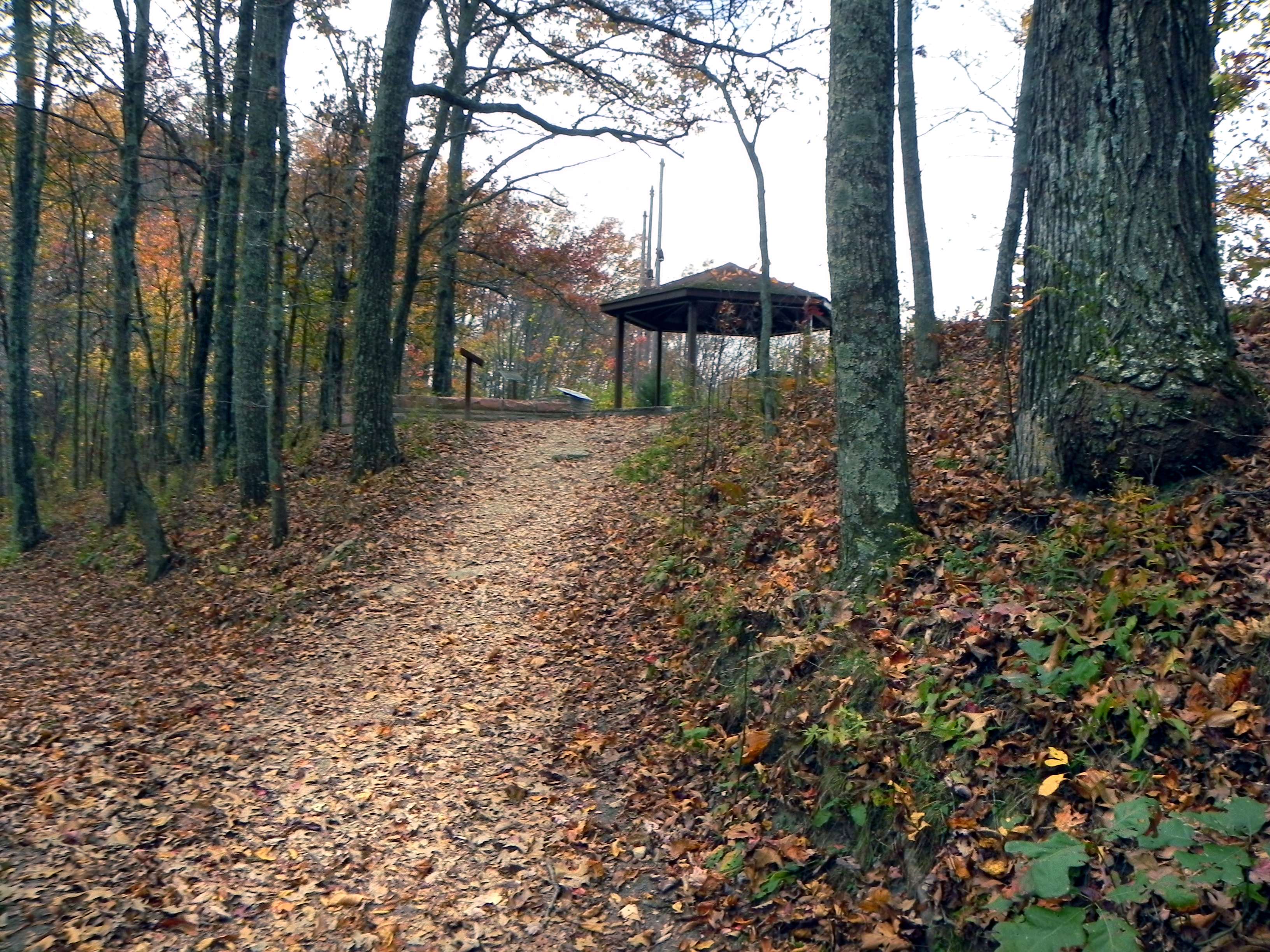
Another Trail
Cumberland Gap, TN
Cumberland Gap, TN

Gap Creek 24, Cumberland Gap TN 1-24-2014
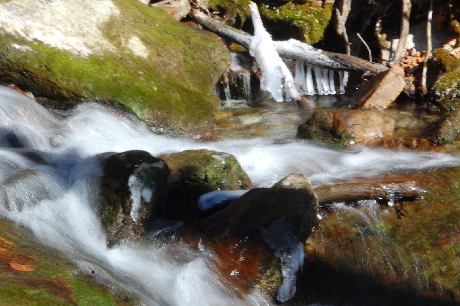
Gap Creek 22, Cumberland Gap TN 1-24-2014
Cumberland Gap TN 3 1-24-2014

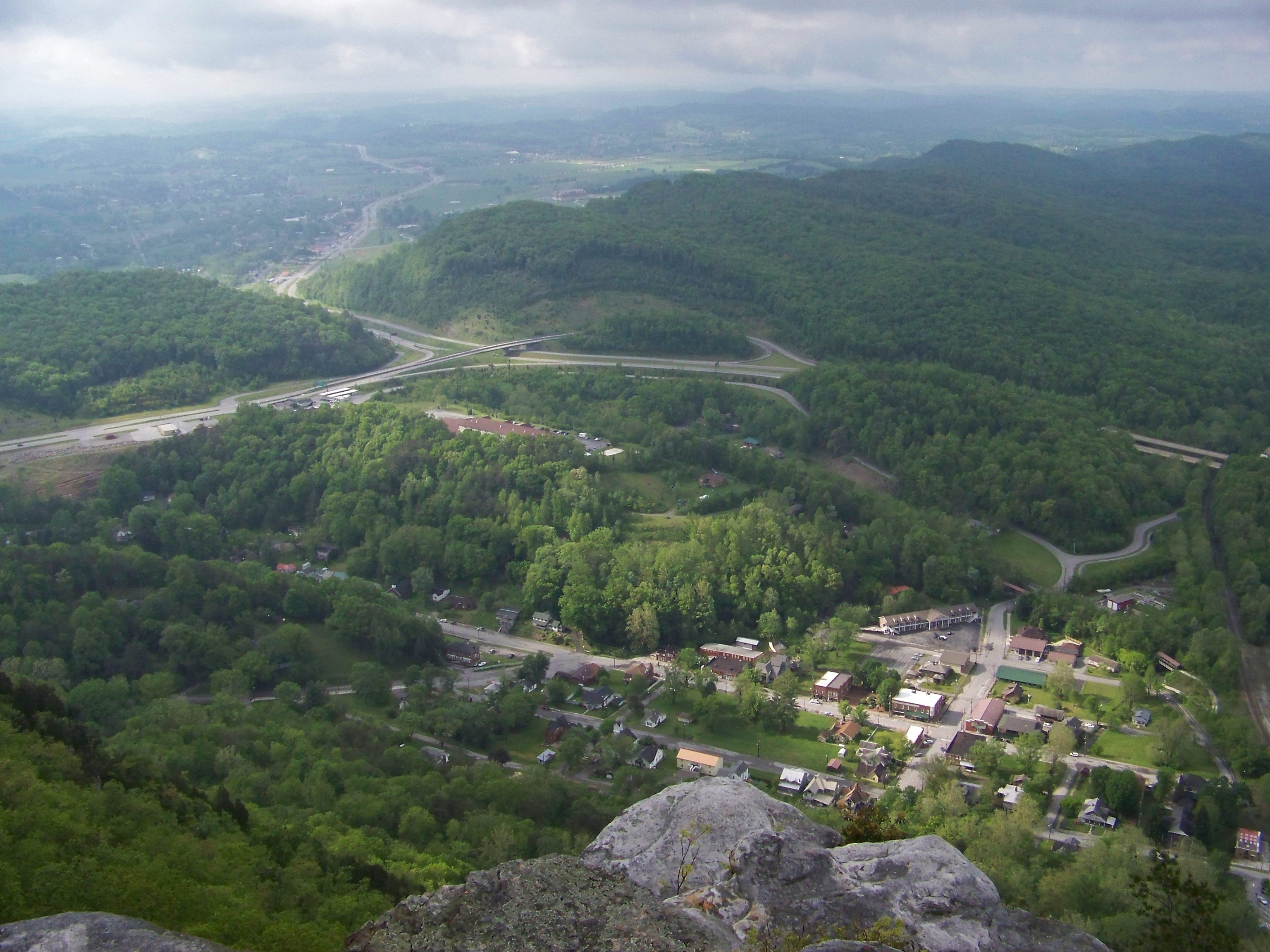
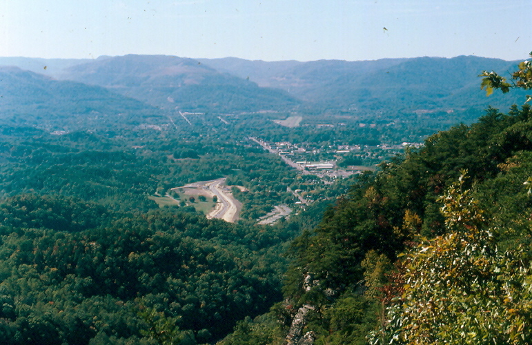
Cumberland Gap overlook
Topographic Map of Clouds Rd, New Tazewell, TN, USA
Find elevation by address:

Places near Clouds Rd, New Tazewell, TN, USA:
Claiborne County
303 Rutherford Dr
420 Baird Ln
622 Minton Hollow Rd
New Tazewell
Shade Pressnell Rd, Tazewell, TN, USA
4544 Lone Mountain Rd
Tazewell Road
Tazewell
788 Pine Hill Rd
161 Clay Standifer Ln
134 Lone Mountain Boat Dock Ln Lot 48
Cave Springs Rd, Tazewell, TN, USA
Deerwoods Ln, Tazewell, TN, USA
575 Benfield Ln
575 Benfield Ln
Ferguson Ridge Rd, Tazewell, TN, USA
172 Bailey Ln
Cosby Ridge Road
316 Cosby Ridge Rd
Recent Searches:
- Elevation of Corso Fratelli Cairoli, 35, Macerata MC, Italy
- Elevation of Tallevast Rd, Sarasota, FL, USA
- Elevation of 4th St E, Sonoma, CA, USA
- Elevation of Black Hollow Rd, Pennsdale, PA, USA
- Elevation of Oakland Ave, Williamsport, PA, USA
- Elevation of Pedrógão Grande, Portugal
- Elevation of Klee Dr, Martinsburg, WV, USA
- Elevation of Via Roma, Pieranica CR, Italy
- Elevation of Tavkvetili Mountain, Georgia
- Elevation of Hartfords Bluff Cir, Mt Pleasant, SC, USA