Elevation of Unnamed Road, Yuma, AZ, USA
Location: United States > Arizona > Yuma County >
Longitude: -114.00059
Latitude: 32.8715704
Elevation: 221m / 725feet
Barometric Pressure: 99KPa
Elevation Map:
Satellite Map:
Related Photos:
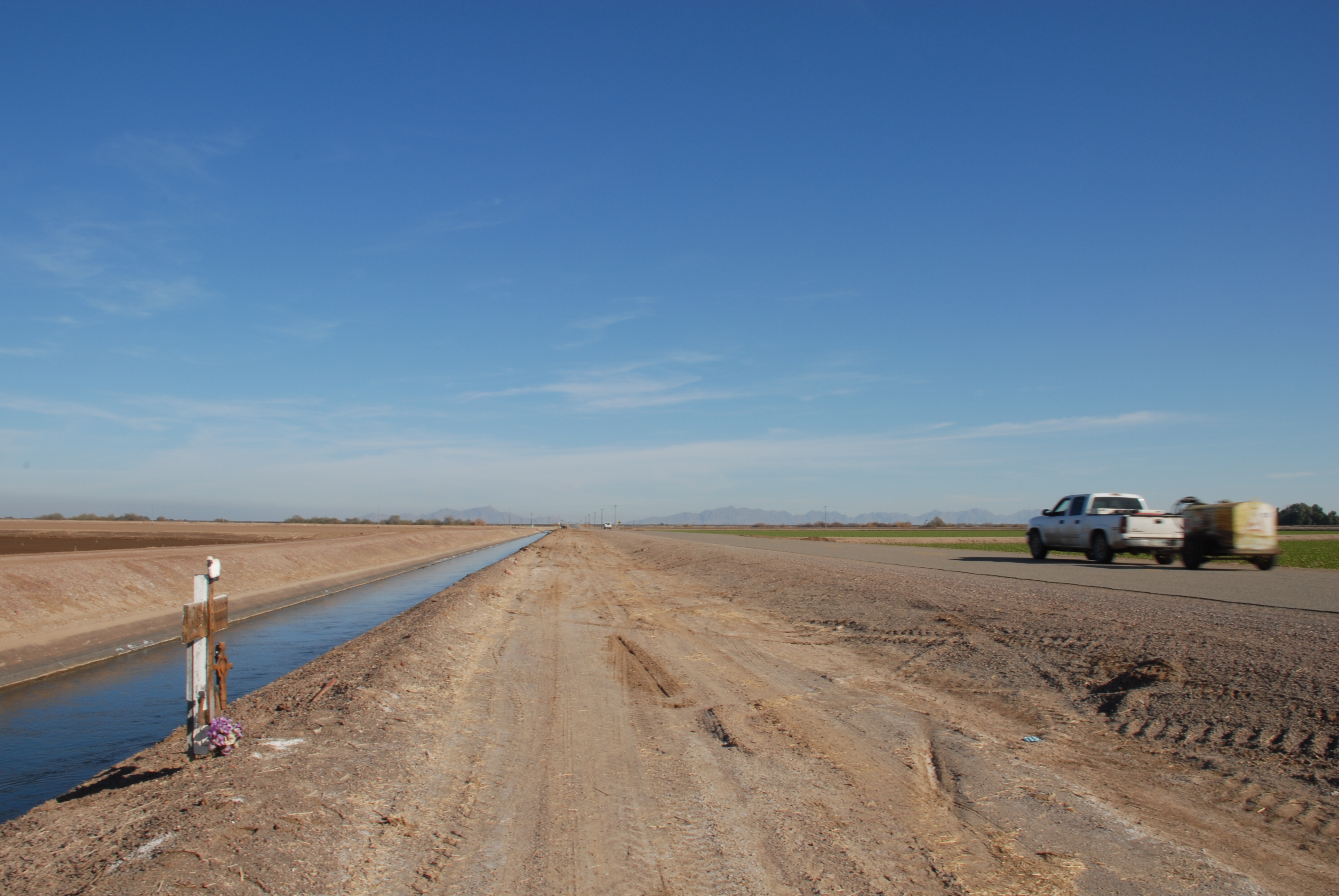
DSC_0121

Another Shot of Thumb Butte
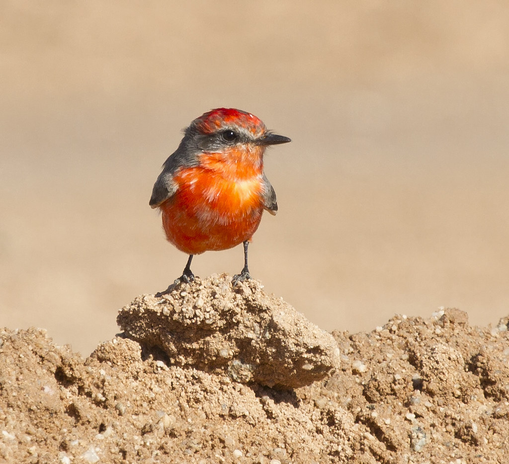
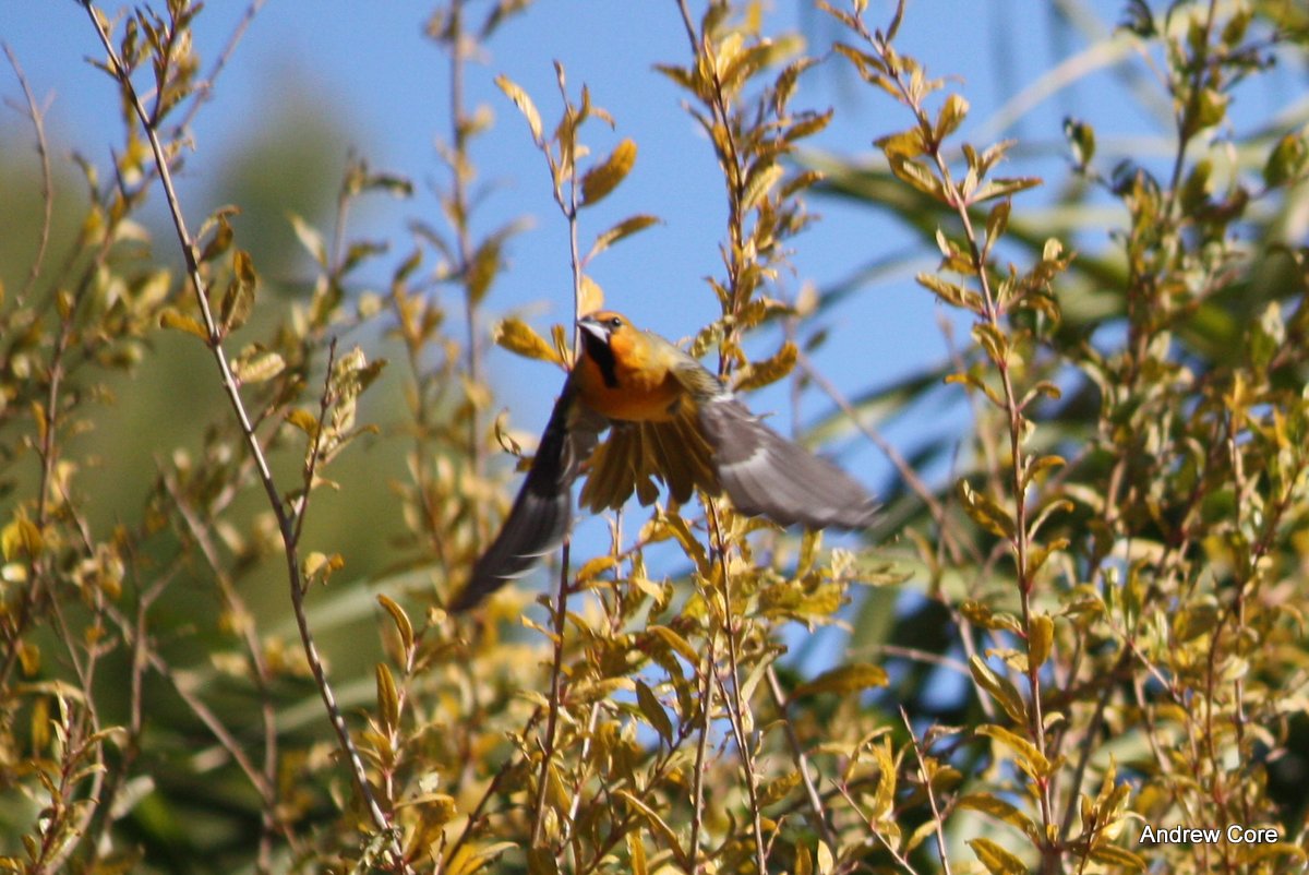
Vermilion Flycatcher (male)
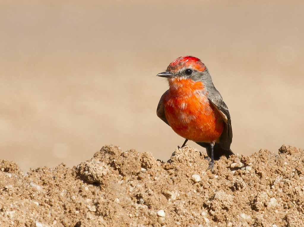
Vermilion Flycatcher (male)

Vermilion Flycatcher (male)
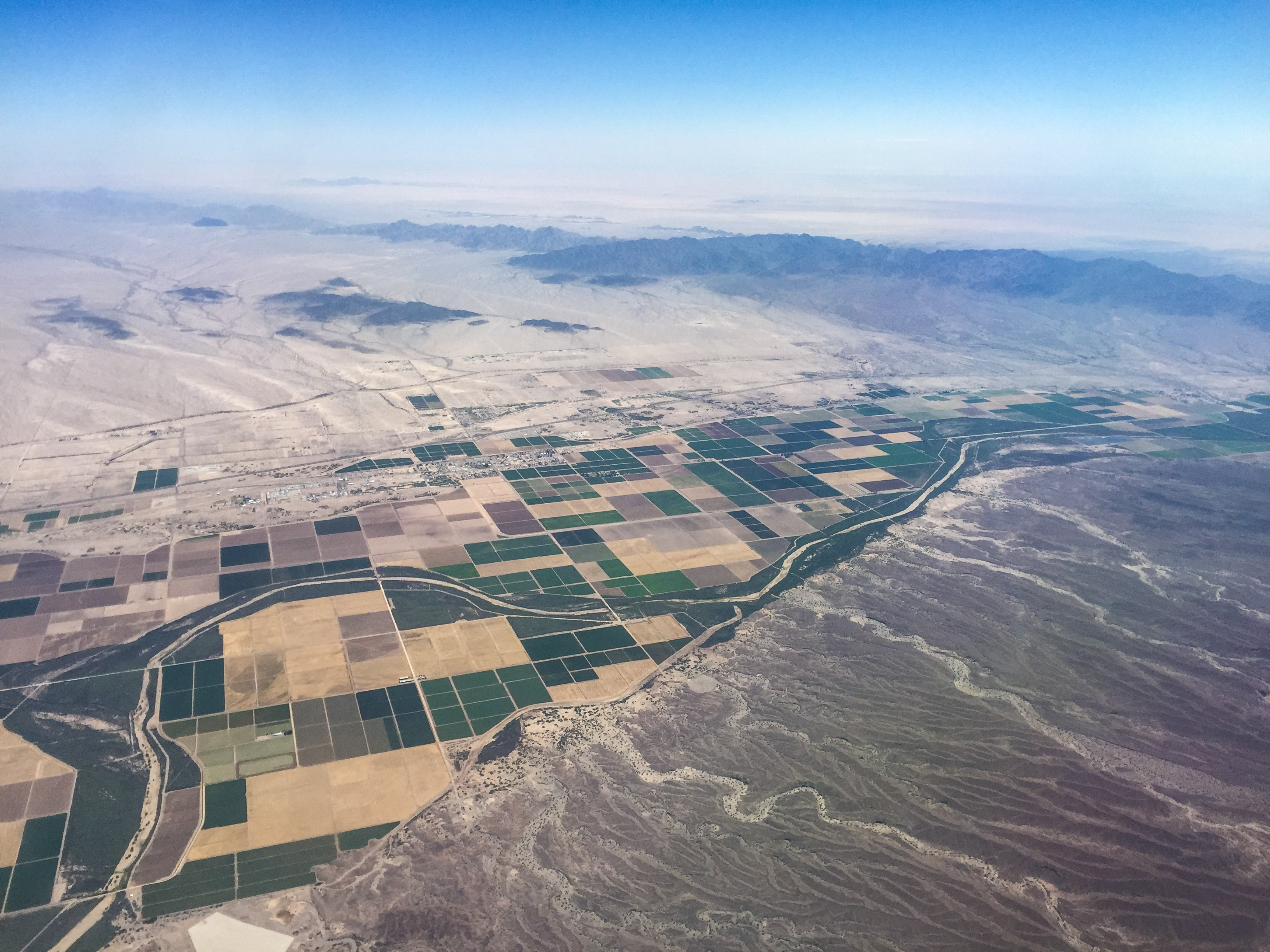
Yuma-2
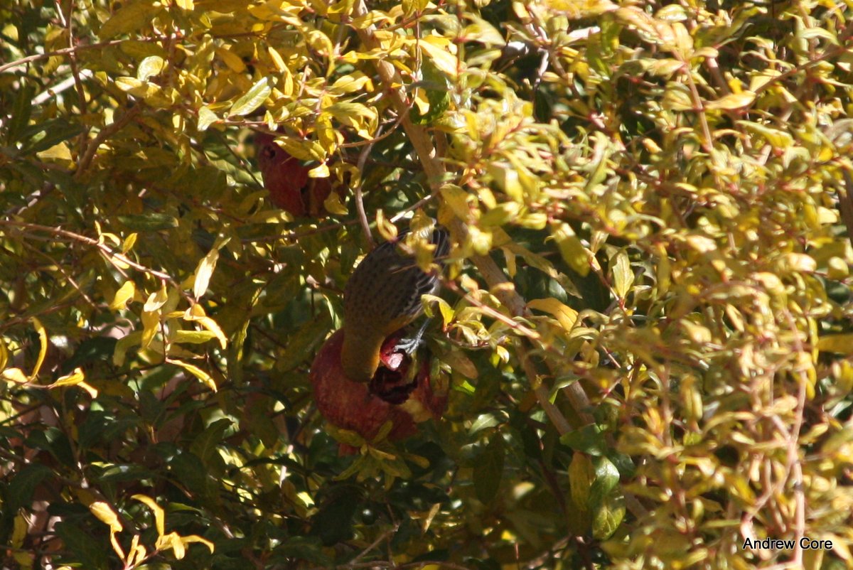
Streak-backed Oriole

American Robin

Streak-backed Oriole
Streak-backed Oriole

U.S. Post Office, Roll, Arizona 85347

Mohawk Valley School, Roll, Arizona
Topographic Map of Unnamed Road, Yuma, AZ, USA
Find elevation by address:

Places near Unnamed Road, Yuma, AZ, USA:
Roll
New Tacana Townsite
Tacna
Old US Hwy 80, Tacna, AZ, USA
Yuma
Yuma County
30115 E Mountain View
Butterfield Bluff
Muggins Mountains
Wellton
Castle Dome Mine Museum
Castle Dome Peak
28862 Colorado Ave
Muggins Mountain Wilderness
General Motors Desert Proving Ground - Yuma
Old Hwy 80, Wellton, AZ, USA
Yuma Proving Ground
13823 E 53rd St
11568 S Paula Ave
11523 S Renee Ave
Recent Searches:
- Elevation of Tenjo, Cundinamarca, Colombia
- Elevation of Côte-des-Neiges, Montreal, QC H4A 3J6, Canada
- Elevation of Bobcat Dr, Helena, MT, USA
- Elevation of Zu den Ihlowbergen, Althüttendorf, Germany
- Elevation of Badaber, Peshawar, Khyber Pakhtunkhwa, Pakistan
- Elevation of SE Heron Loop, Lincoln City, OR, USA
- Elevation of Slanický ostrov, 01 Námestovo, Slovakia
- Elevation of Spaceport America, Co Rd A, Truth or Consequences, NM, USA
- Elevation of Warwick, RI, USA
- Elevation of Fern Rd, Whitmore, CA, USA