Elevation map of Yuma County, AZ, USA
Location: United States > Arizona >
Longitude: -113.95364
Latitude: 32.6527533
Elevation: 142m / 466feet
Barometric Pressure: 100KPa
Elevation Map:
Satellite Map:
Related Photos:
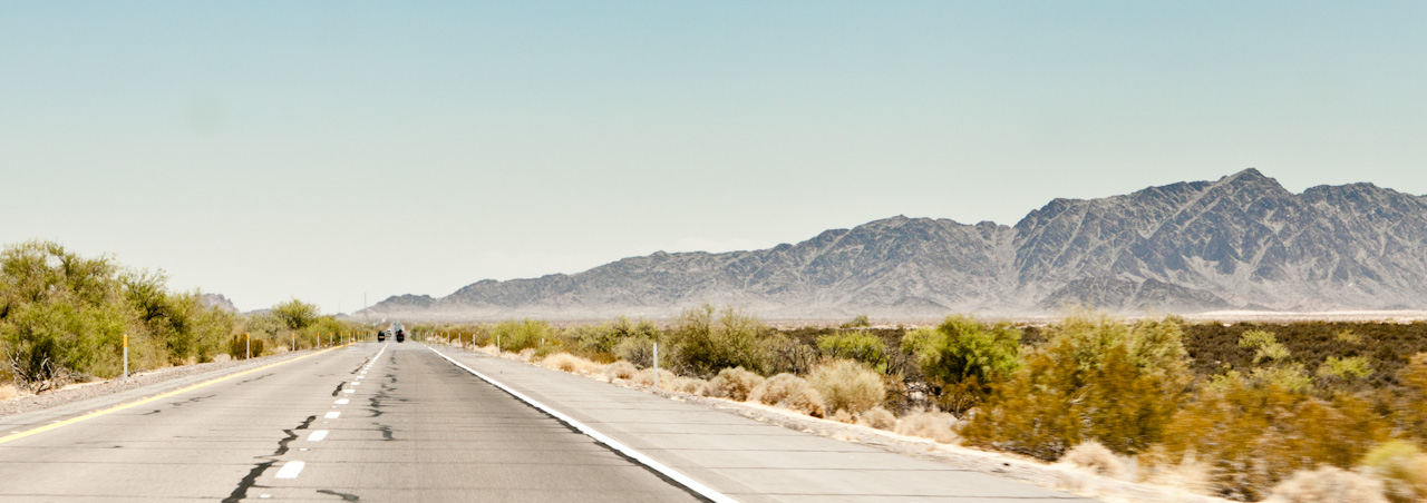
Interstate 8
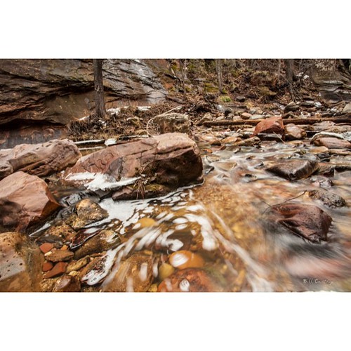
Gorgeous trail at #Sedona #arizona #westfork #trail #winter #cold #landscape #picoftheday #photooftheday #insta #instagood #water #ice #snow #exposure #swirl #aqua #photo #art #nature #woods, BILL CANTEY
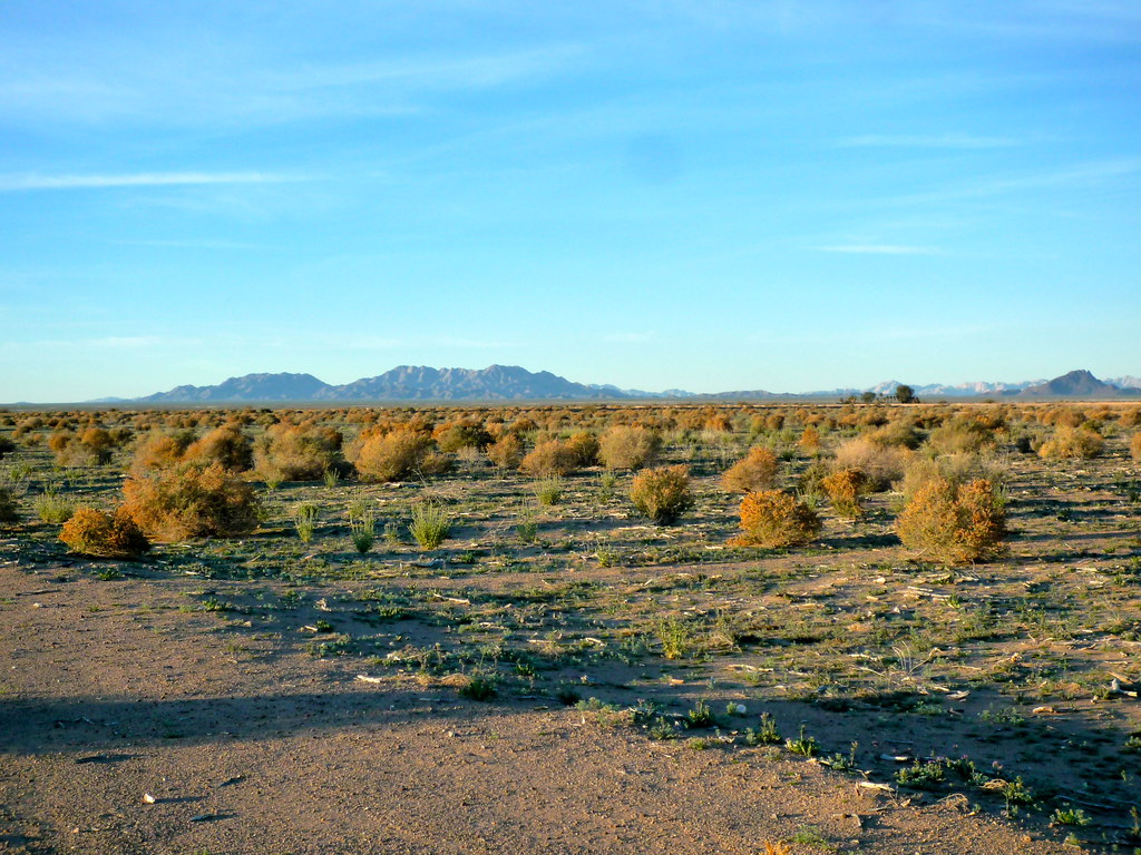
LeConte's Thrasher habitat
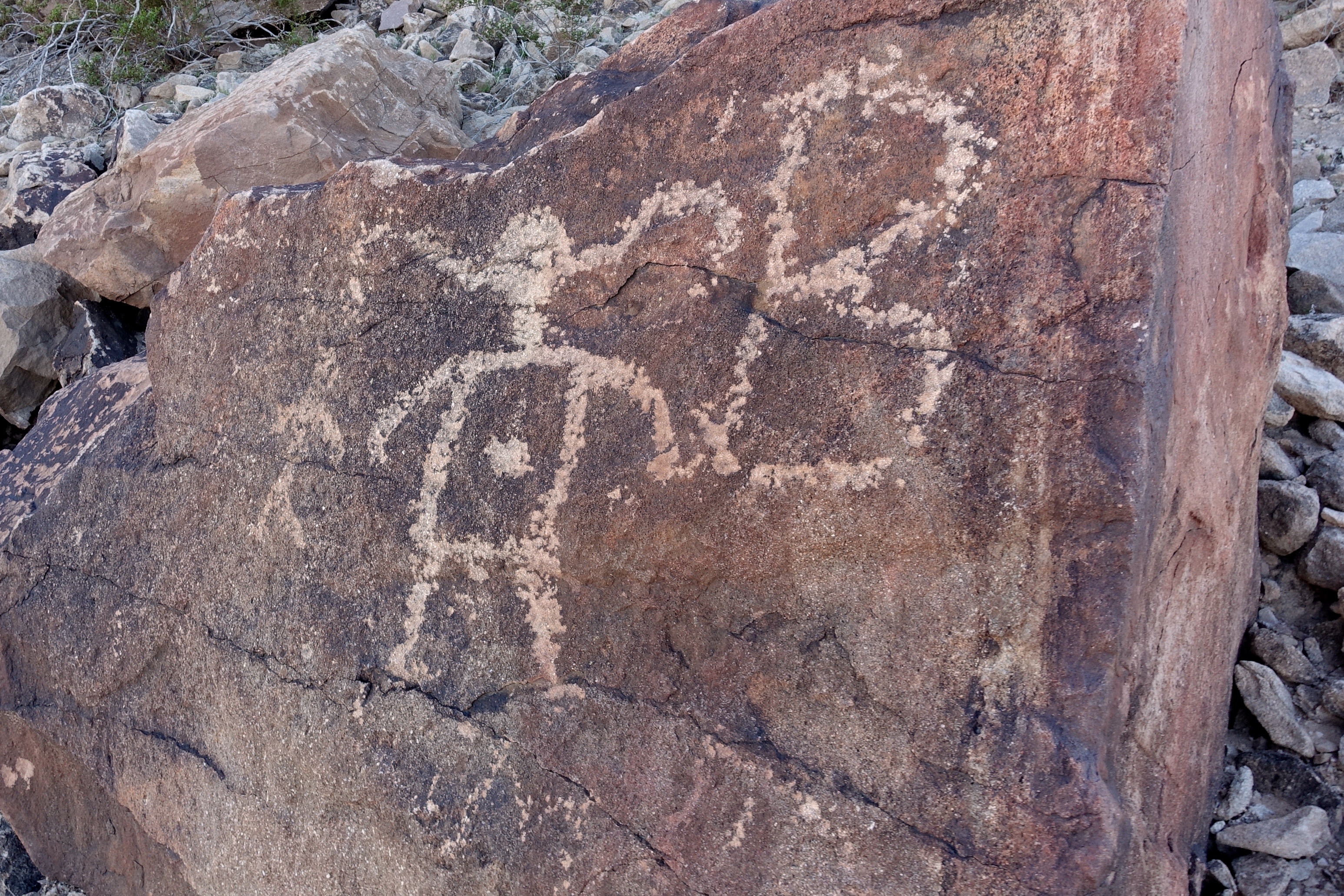
12. Petroglyphs at Antelope Hill
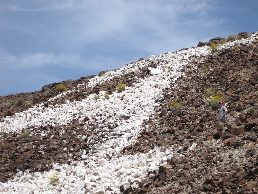
Antelope Hill
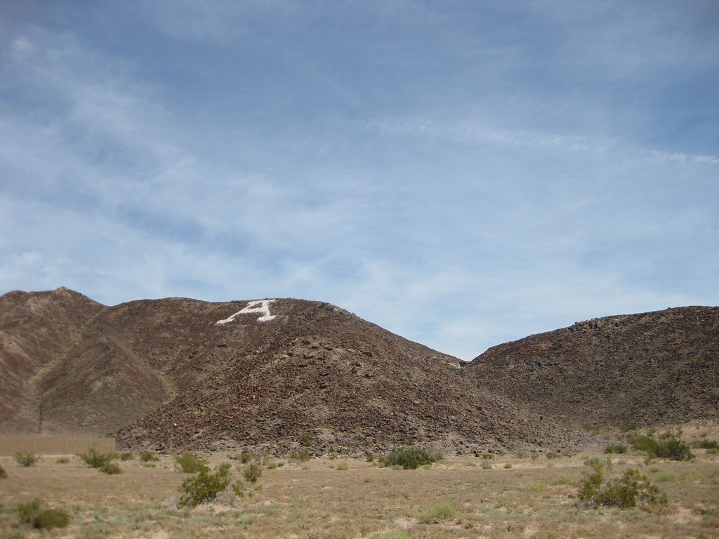
Antelope Hill
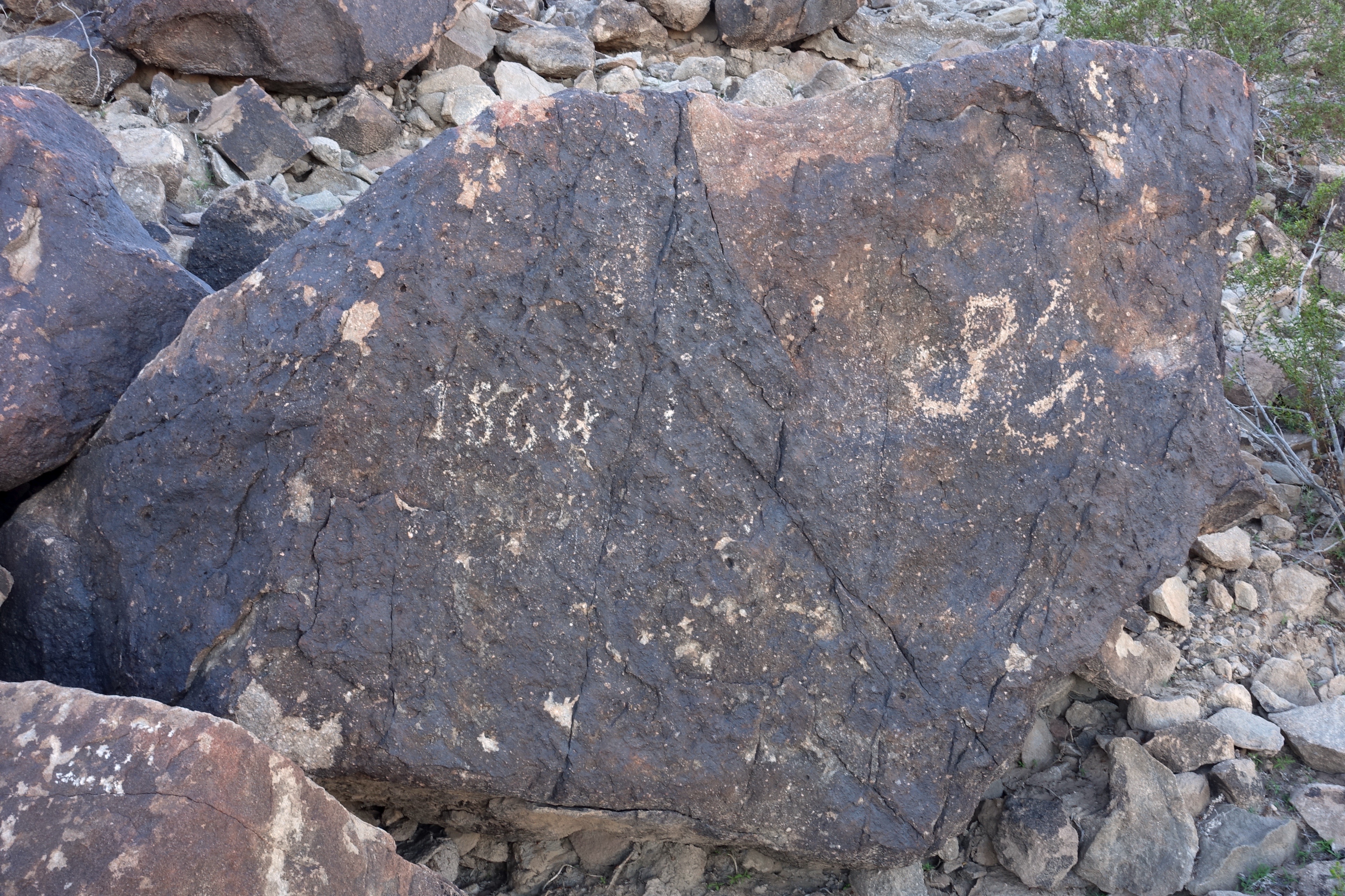
5. Petroglyphs at Antelope Hill
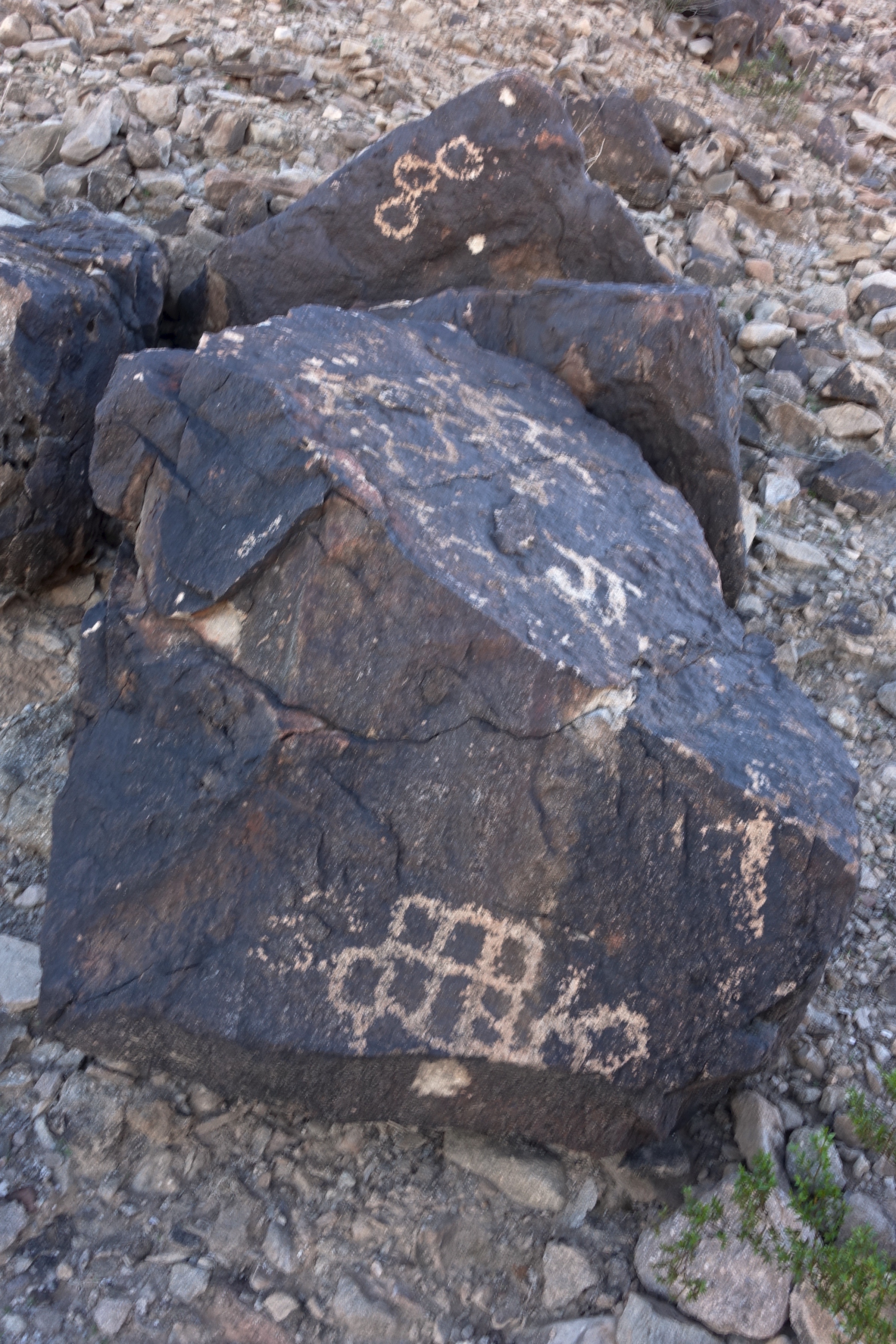
10. Petroglyphs at Antelope Hill
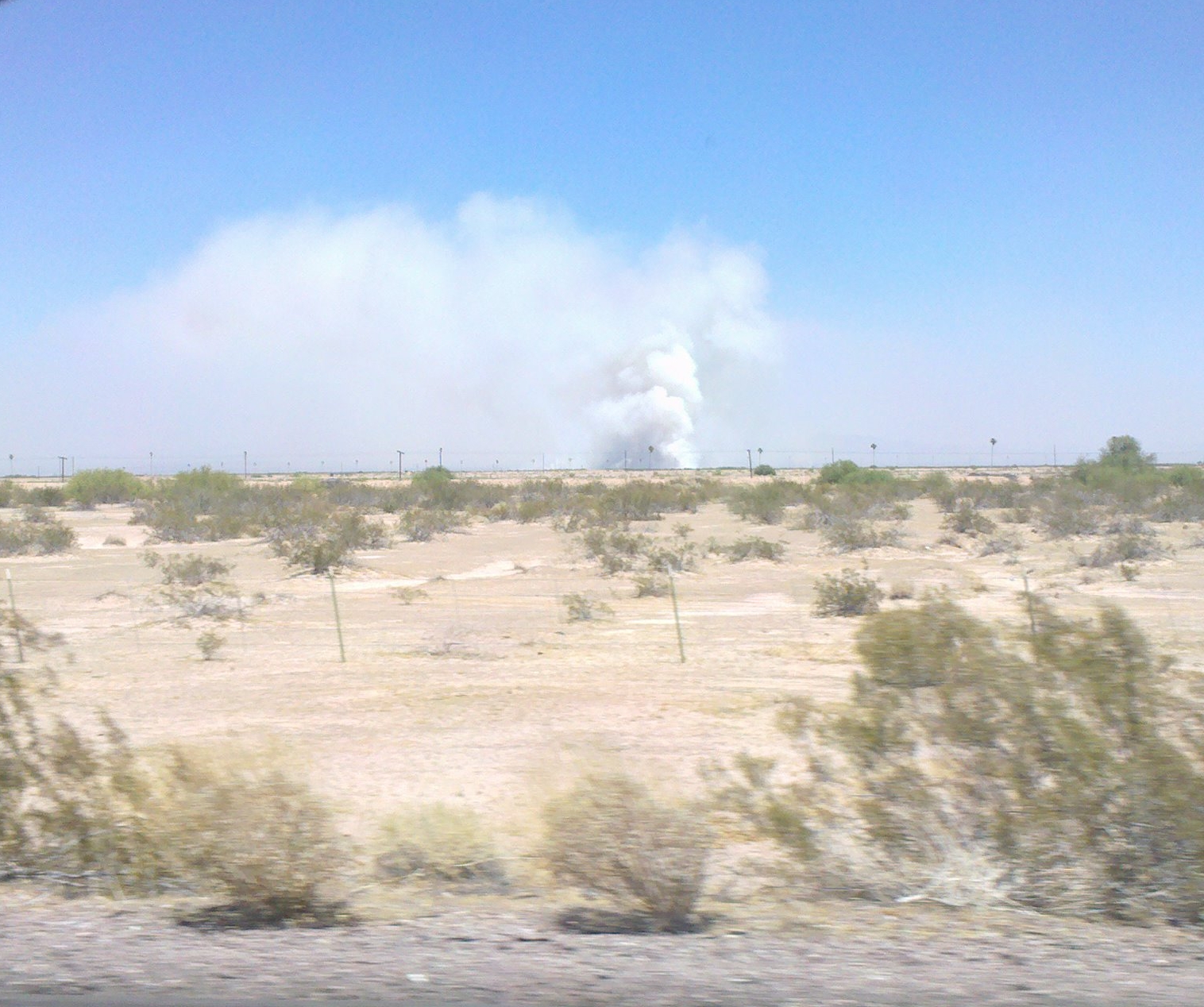
2010-06-18 Smoke and fire.
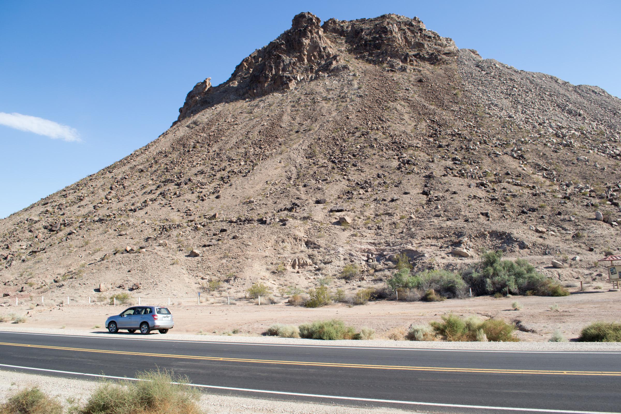
Roll, AZ Antelope Hill (2289)
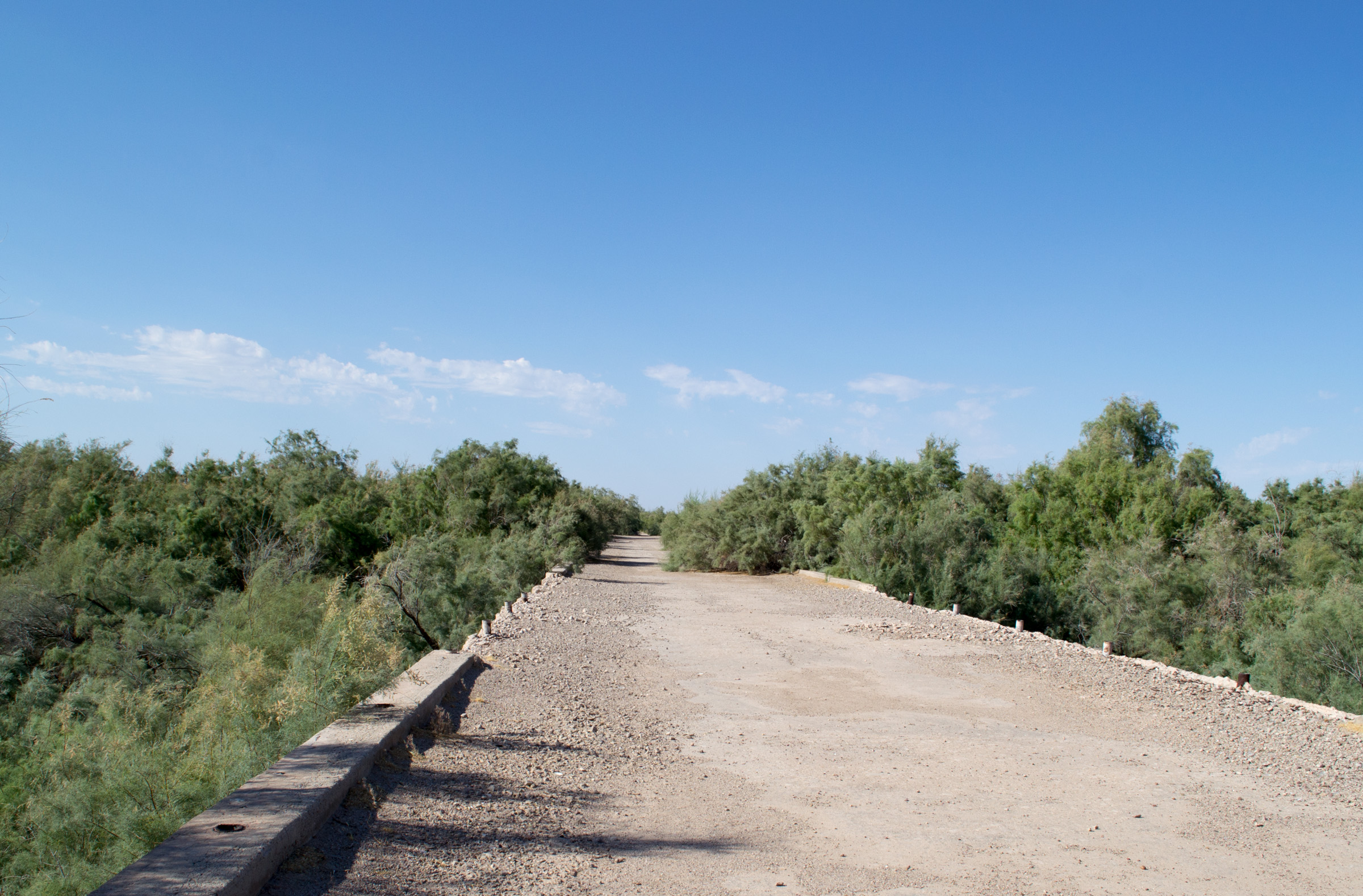
Roll, AZ Gila river bridge (2285)
Topographic Map of Yuma County, AZ, USA
Find elevation by address:

Places in Yuma County, AZ, USA:
Places near Yuma County, AZ, USA:
Yuma
Old US Hwy 80, Tacna, AZ, USA
Tacna
New Tacana Townsite
Roll
30115 E Mountain View
Butterfield Bluff
28862 Colorado Ave
Wellton
Unnamed Road
Muggins Mountains
Muggins Mountain Wilderness
Old Hwy 80, Wellton, AZ, USA
13823 E 53rd St
Castle Dome Mine Museum
11568 S Paula Ave
General Motors Desert Proving Ground - Yuma
The Foothills
11523 S Renee Ave
Mesa Del Sol Golf Club
Recent Searches:
- Elevation of Corso Fratelli Cairoli, 35, Macerata MC, Italy
- Elevation of Tallevast Rd, Sarasota, FL, USA
- Elevation of 4th St E, Sonoma, CA, USA
- Elevation of Black Hollow Rd, Pennsdale, PA, USA
- Elevation of Oakland Ave, Williamsport, PA, USA
- Elevation of Pedrógão Grande, Portugal
- Elevation of Klee Dr, Martinsburg, WV, USA
- Elevation of Via Roma, Pieranica CR, Italy
- Elevation of Tavkvetili Mountain, Georgia
- Elevation of Hartfords Bluff Cir, Mt Pleasant, SC, USA