Elevation of Yuma Proving Ground, C St, Yuma, AZ, USA
Location: United States > Arizona > Yuma County > Yuma >
Longitude: -114.43958
Latitude: 32.8595229
Elevation: 65m / 213feet
Barometric Pressure: 101KPa
Elevation Map:
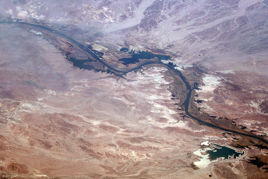
Satellite Map:
Related Photos:

Down Another Dirt Road!
Imperial: stitched view of water released to desilting/AAC
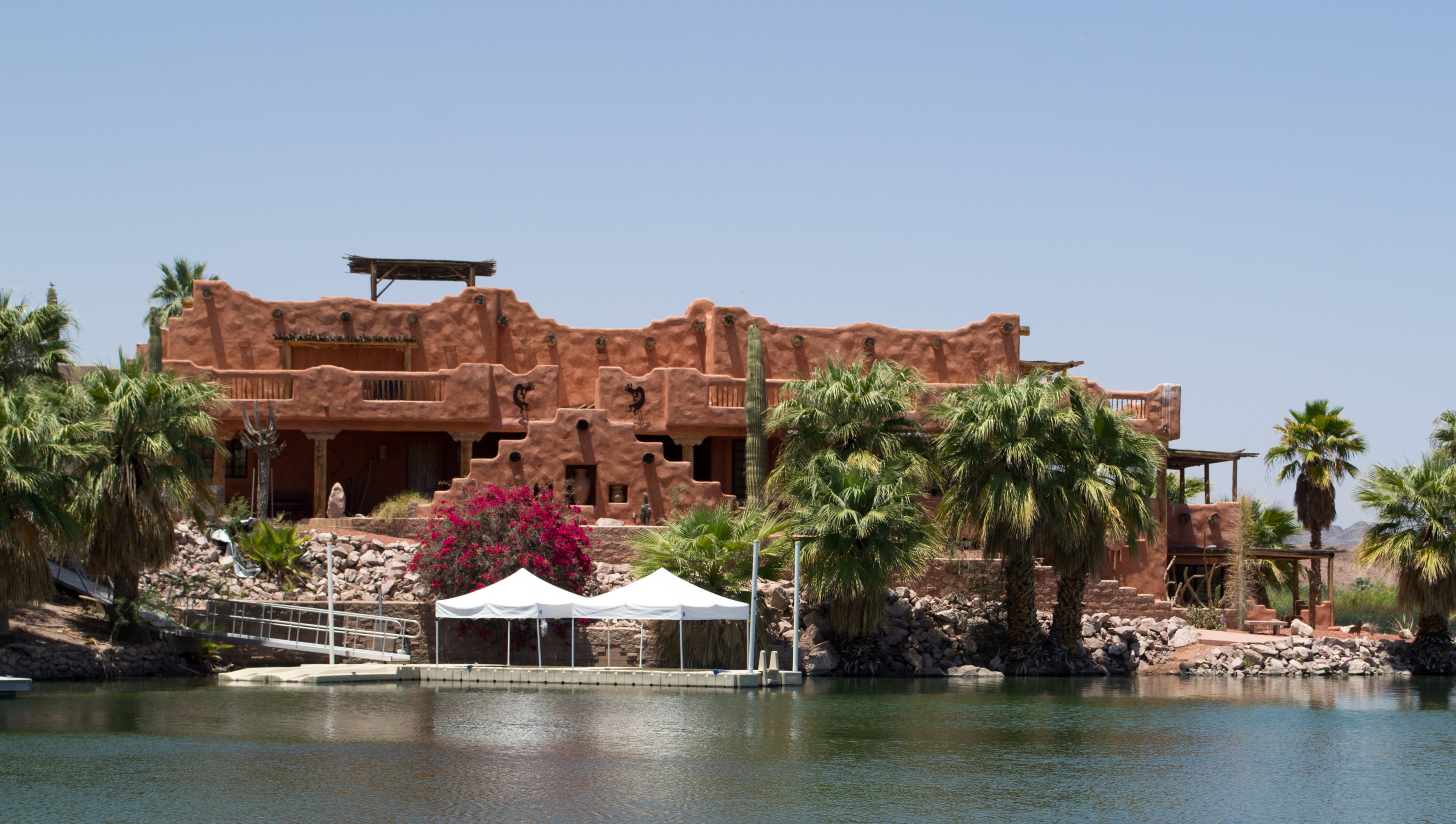
The Lodge, Viewed from the West Hills
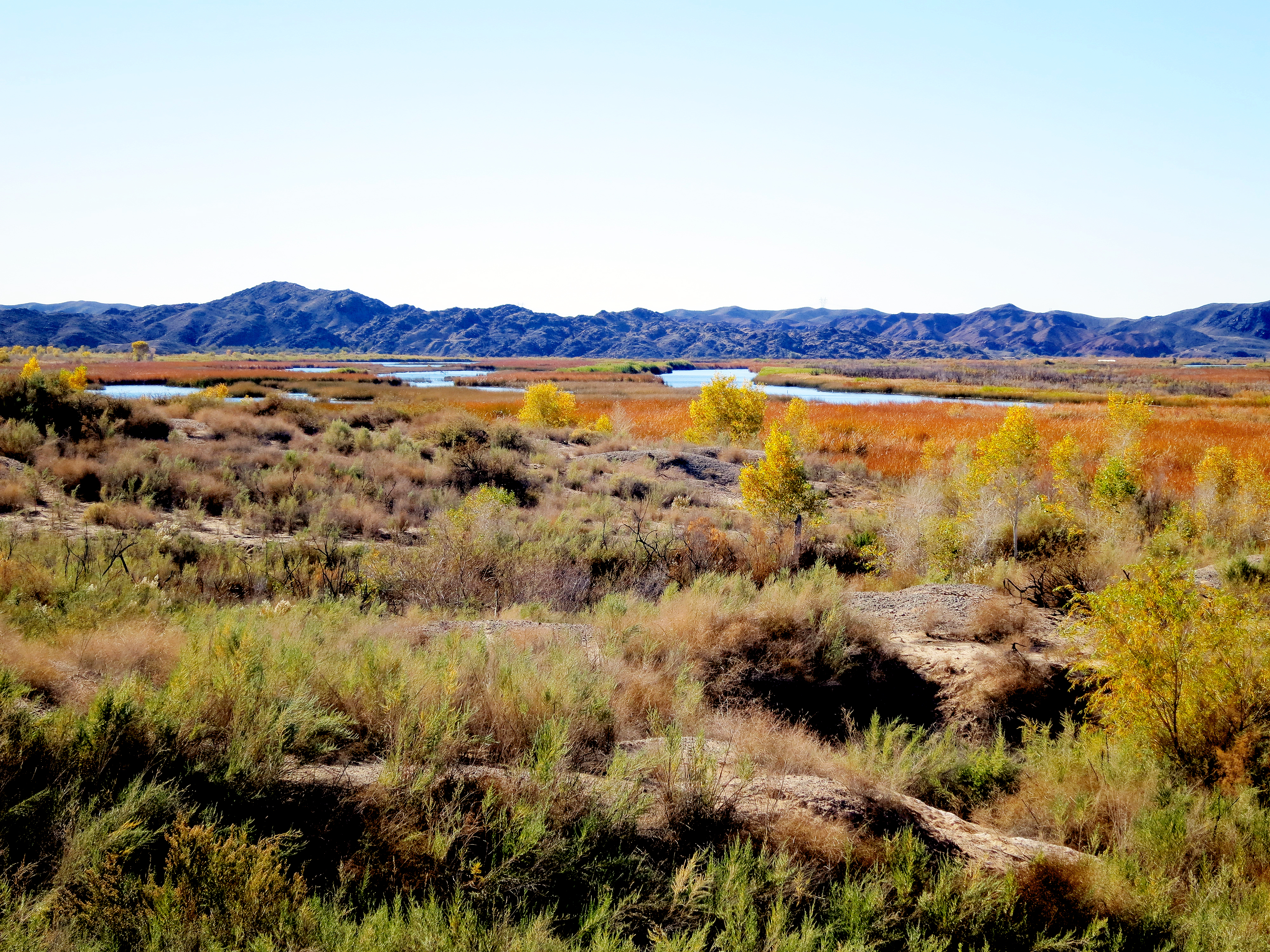
Imperial: Wide view looking upstream
Imperial: Wide view looking downstream
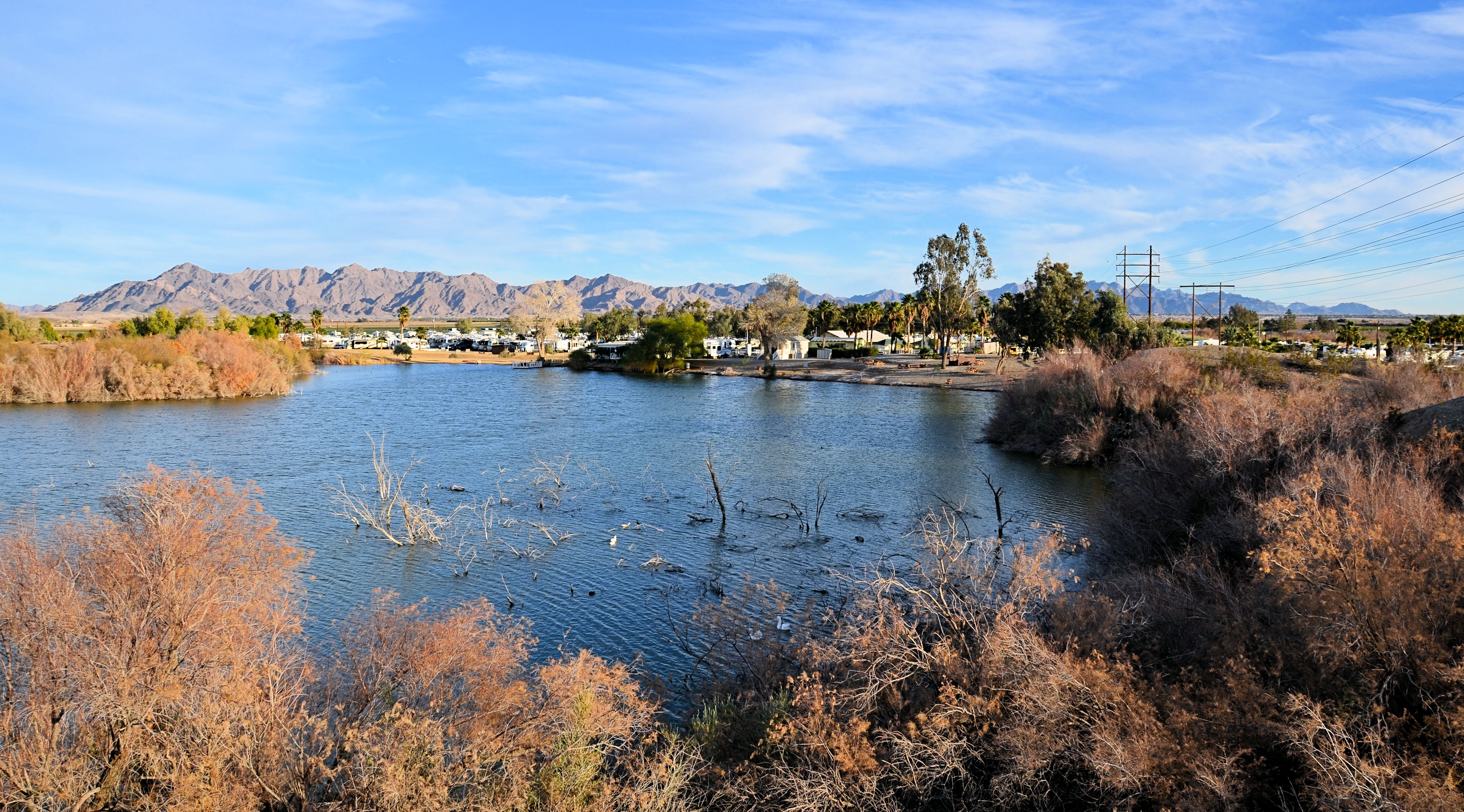
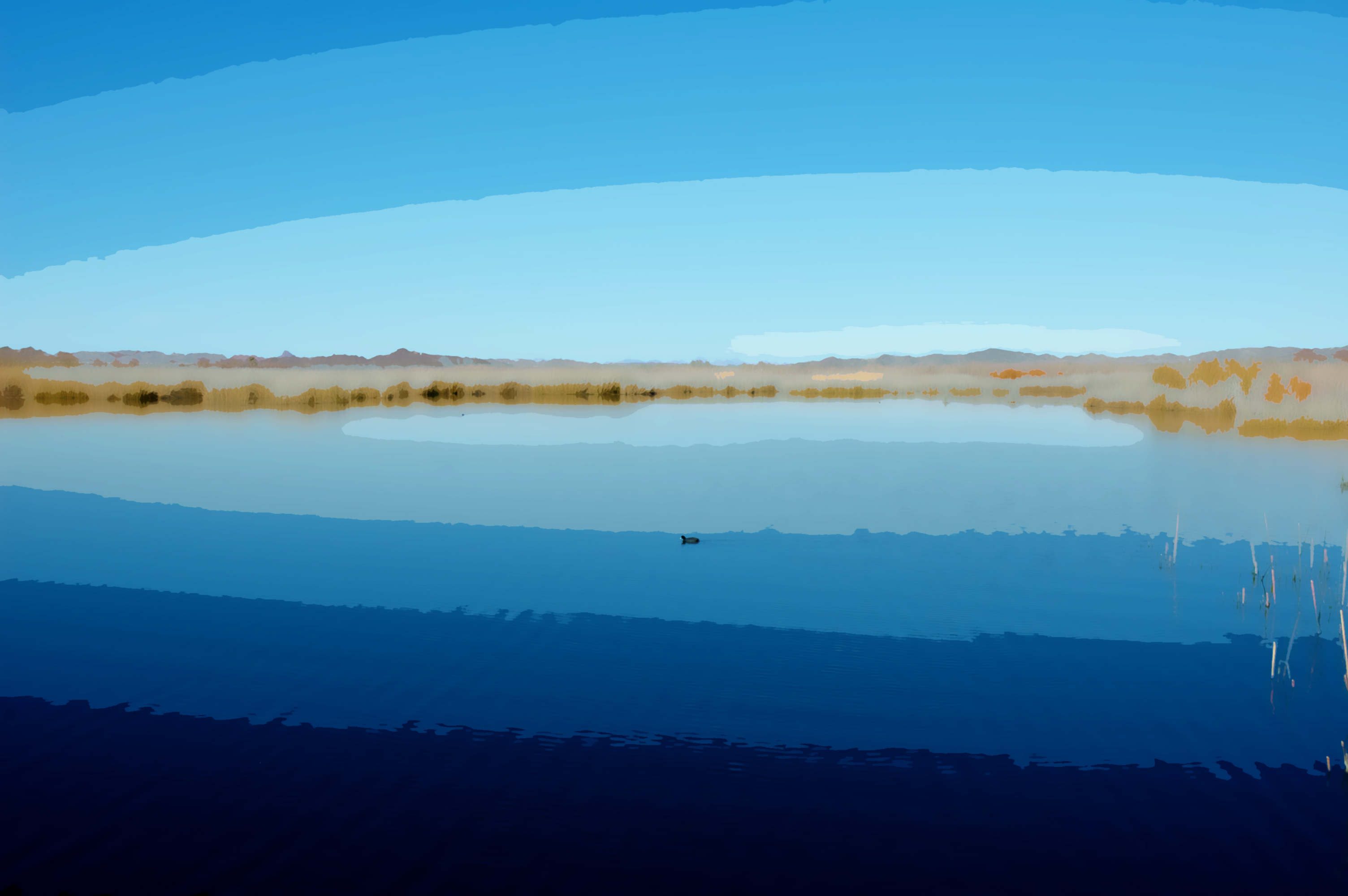
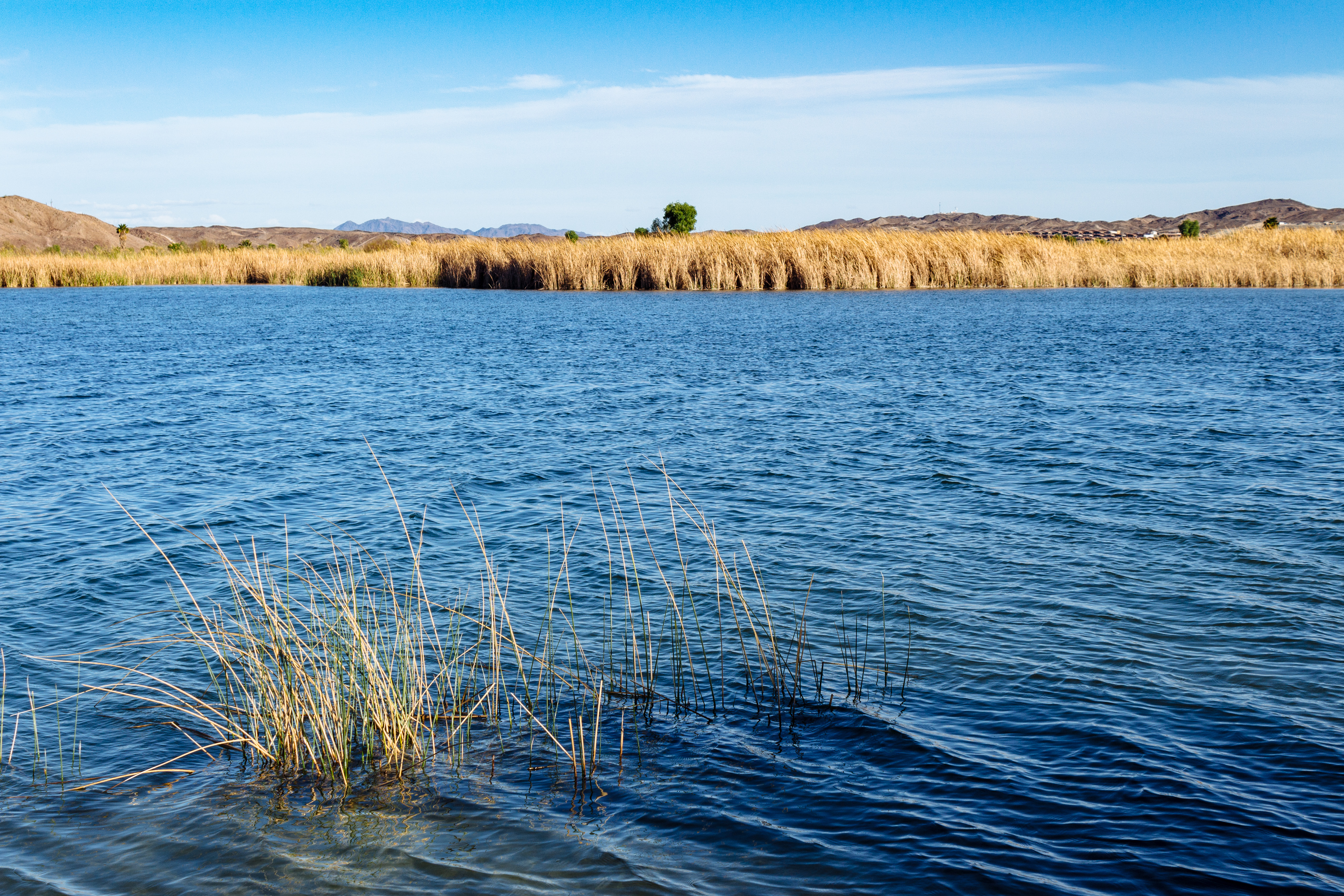
Yuma Lakes: View of Lake and Resort
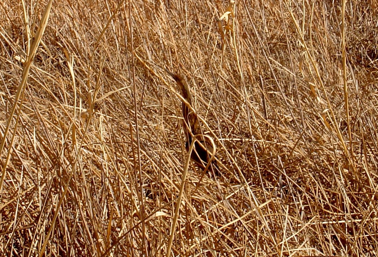
American Bittern at Imperial NWR (Yuma Co.), Yuma, AZ on Mar 10, 2012
Fisher's Landing, AZ (#0829)

Yuma McPhaul suspension bridge (#0845)
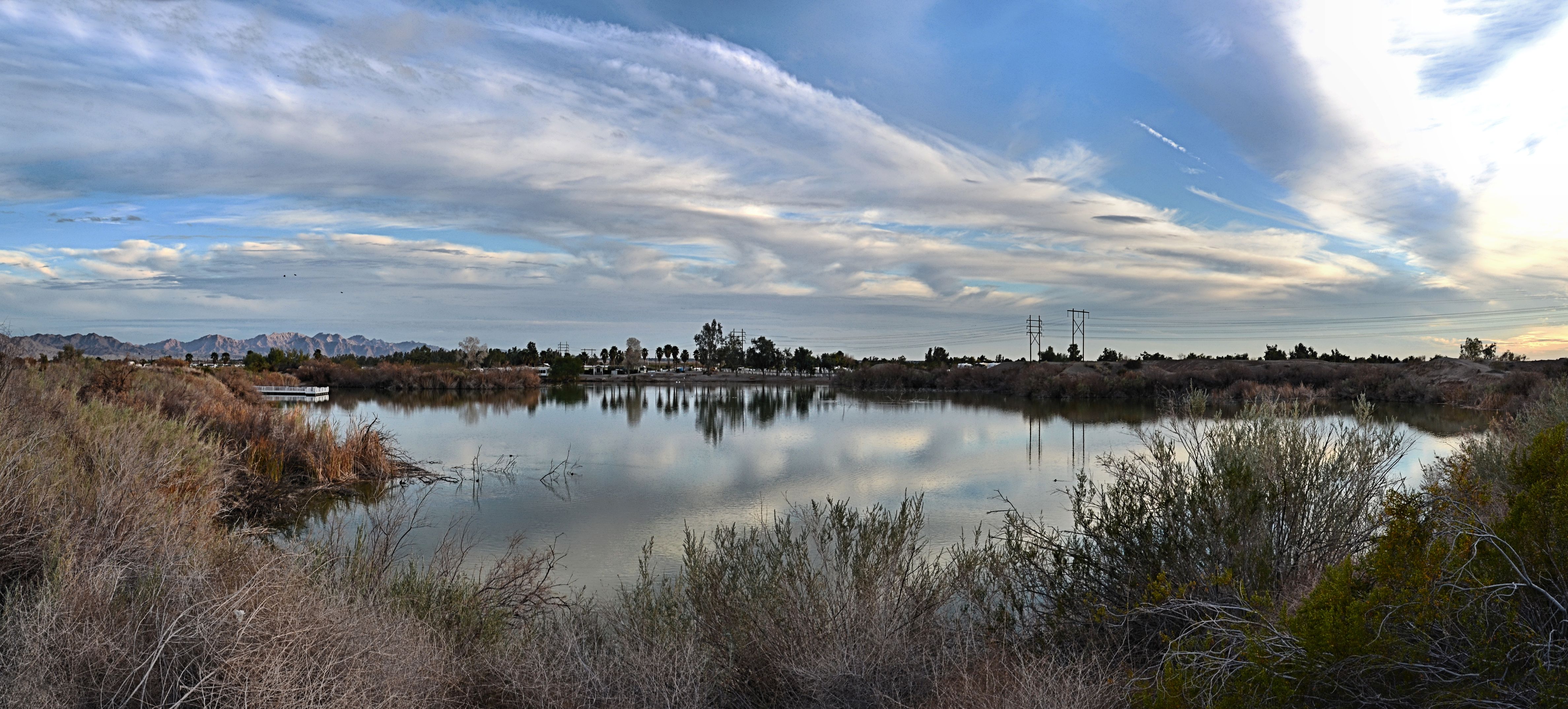
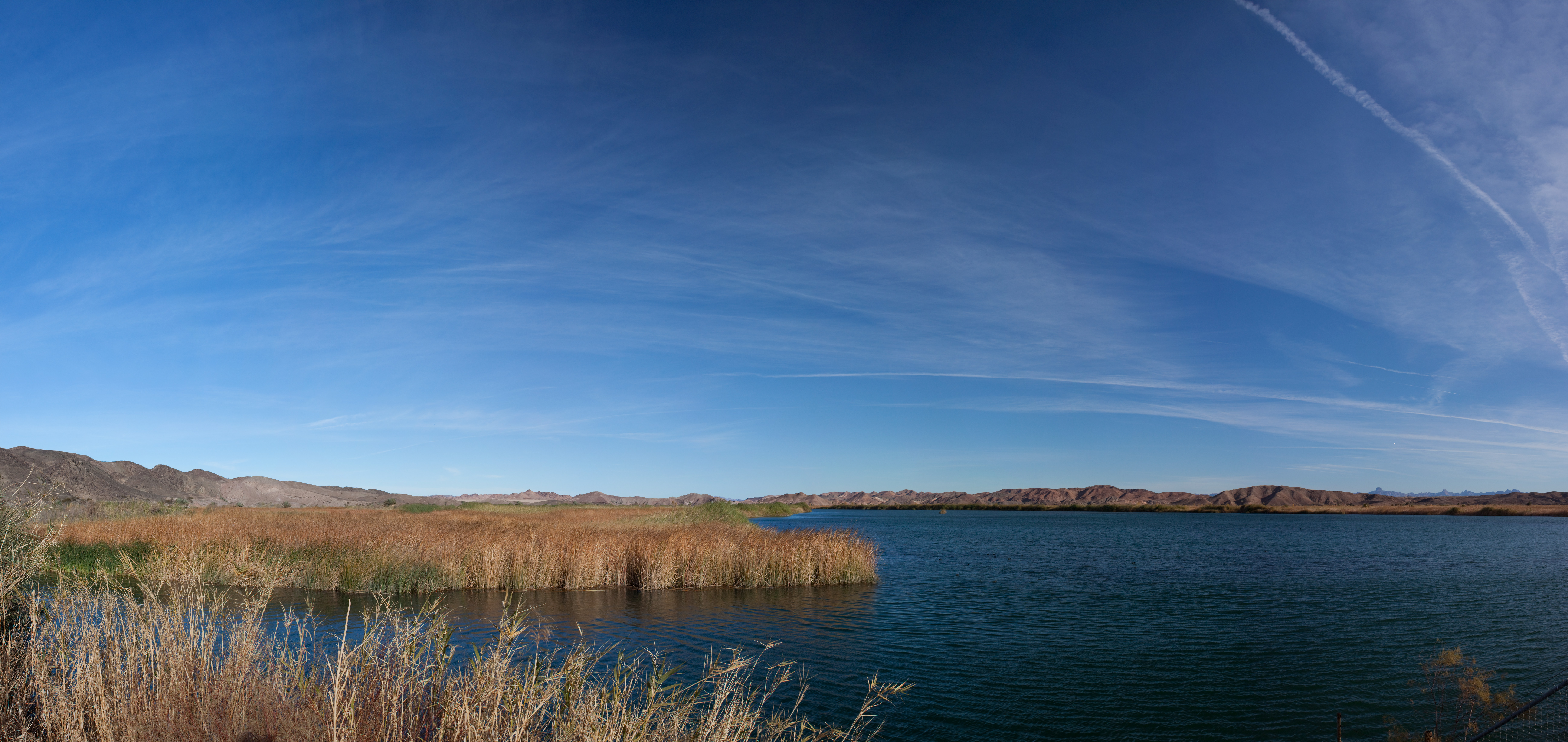
Yuma Lakes Panorama View
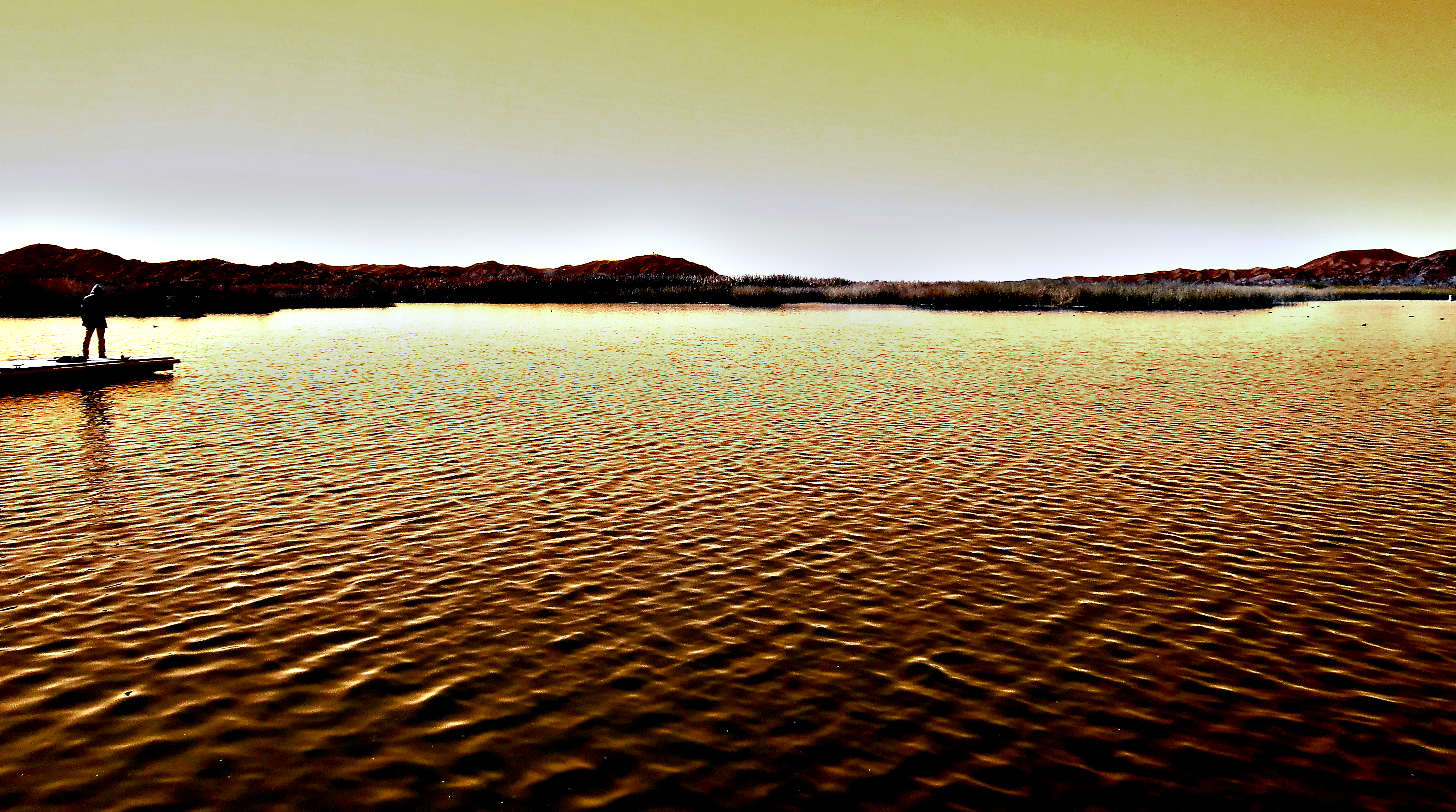
Gazing at the Sea of Gold

Sugarloaf Peak Sunset, Laguna Mts. Yuma, Arizona

Sugarloaf Peak Sunset Feb. 30, 2018

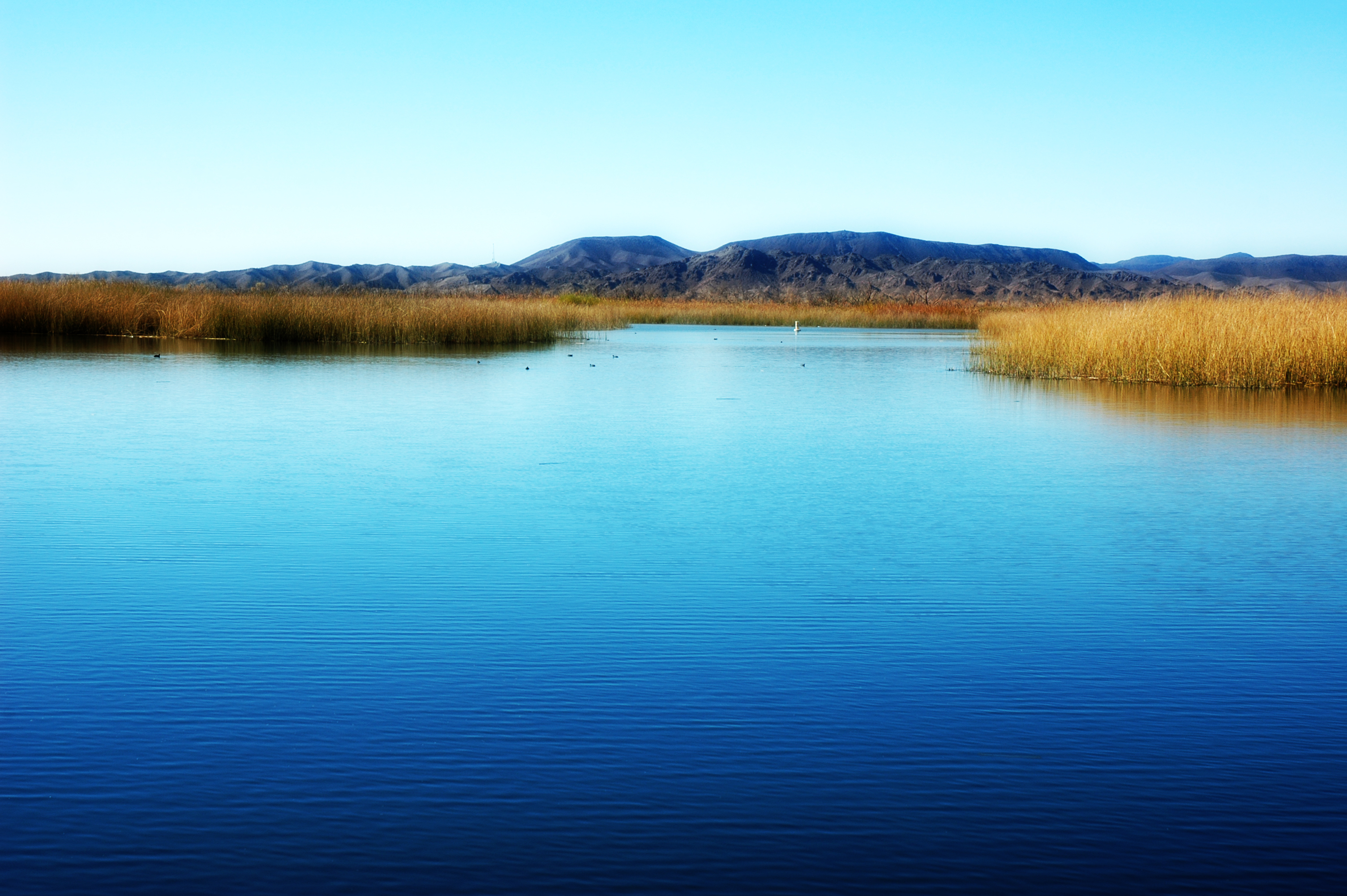
Mittry Lake, S.W. Arizona
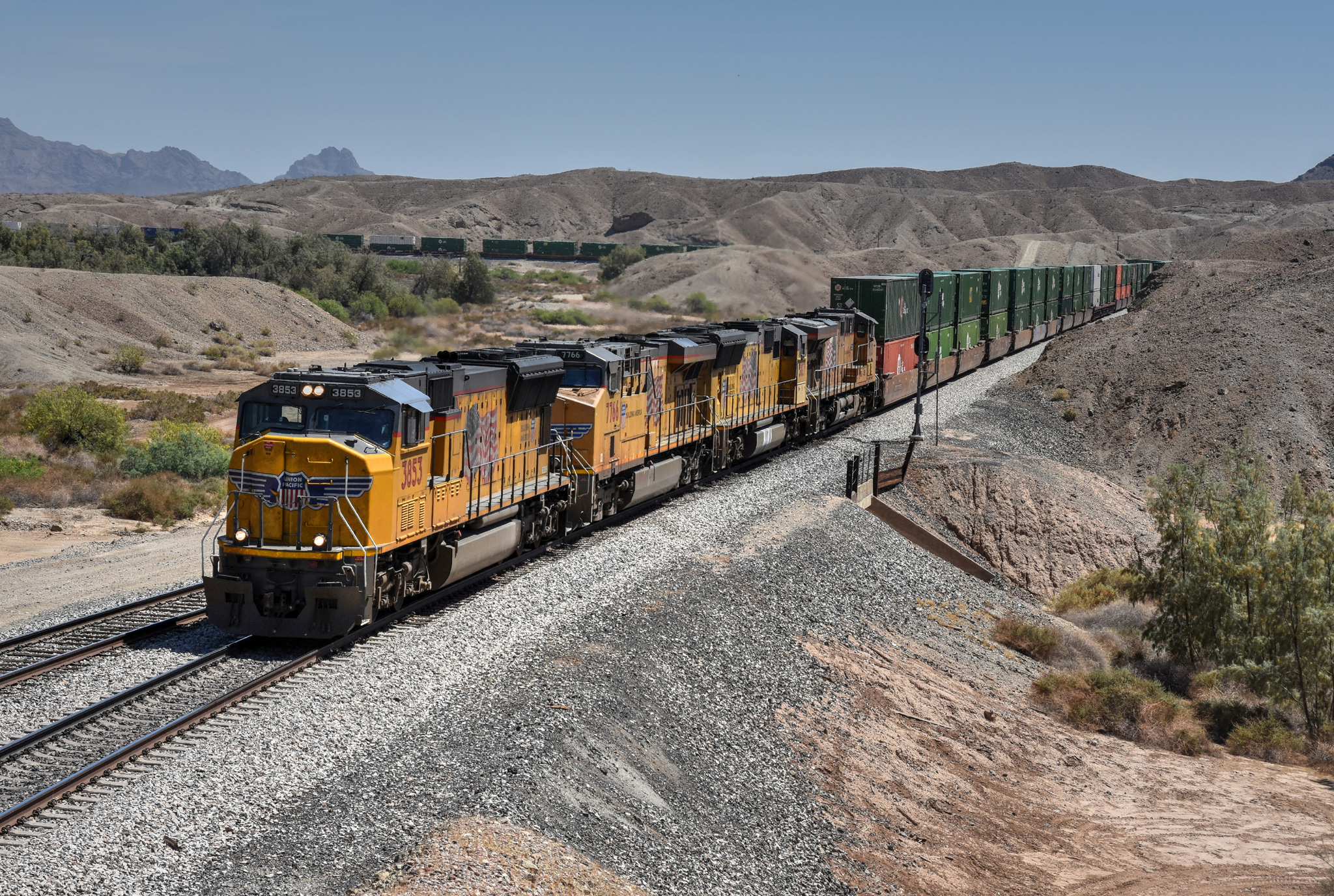
UP 3853 west Intermodal, Kinter AZ 07.04.2018

GMC Desert Proving Grounds
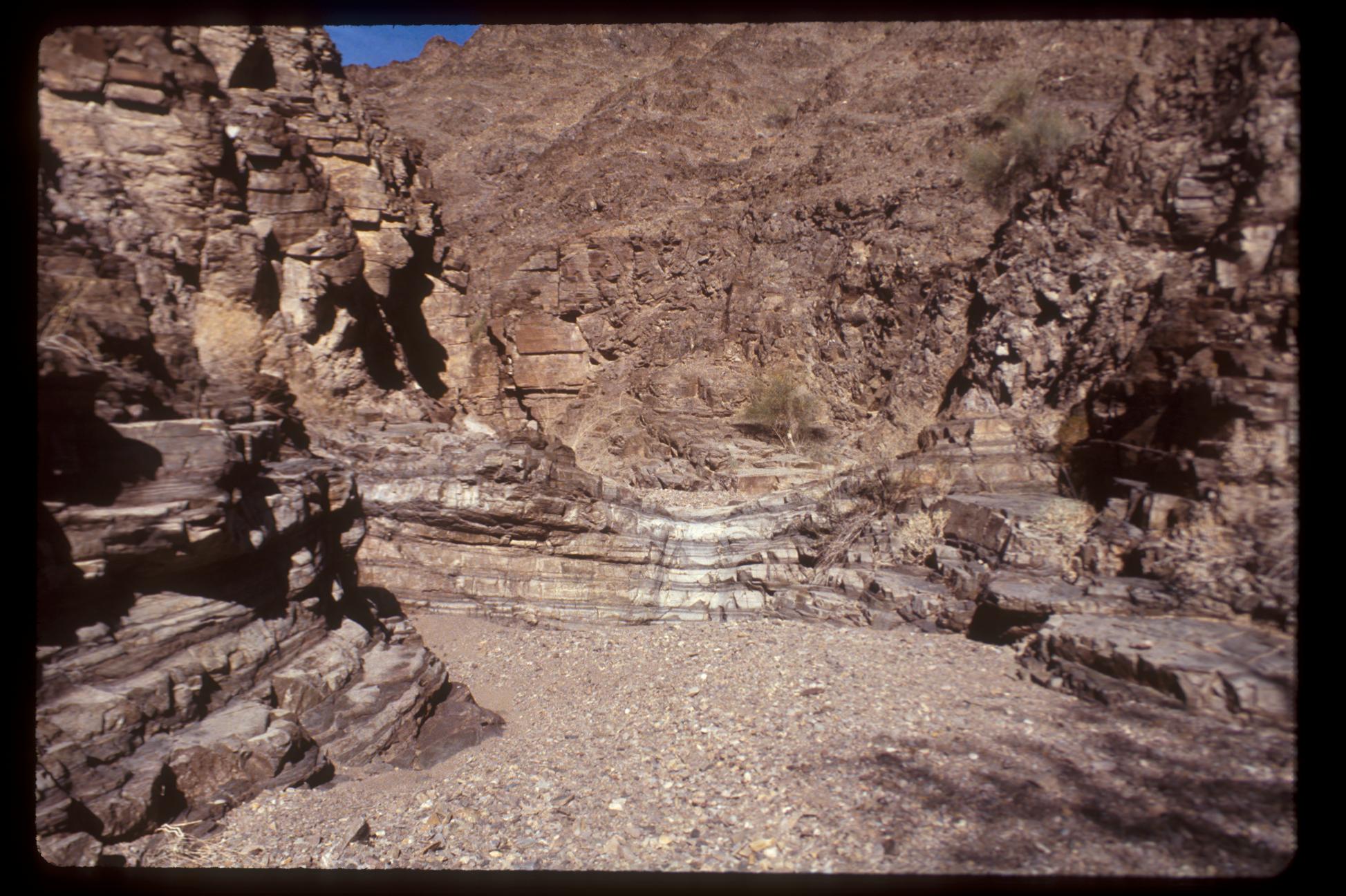
Above the Dry Waterfall
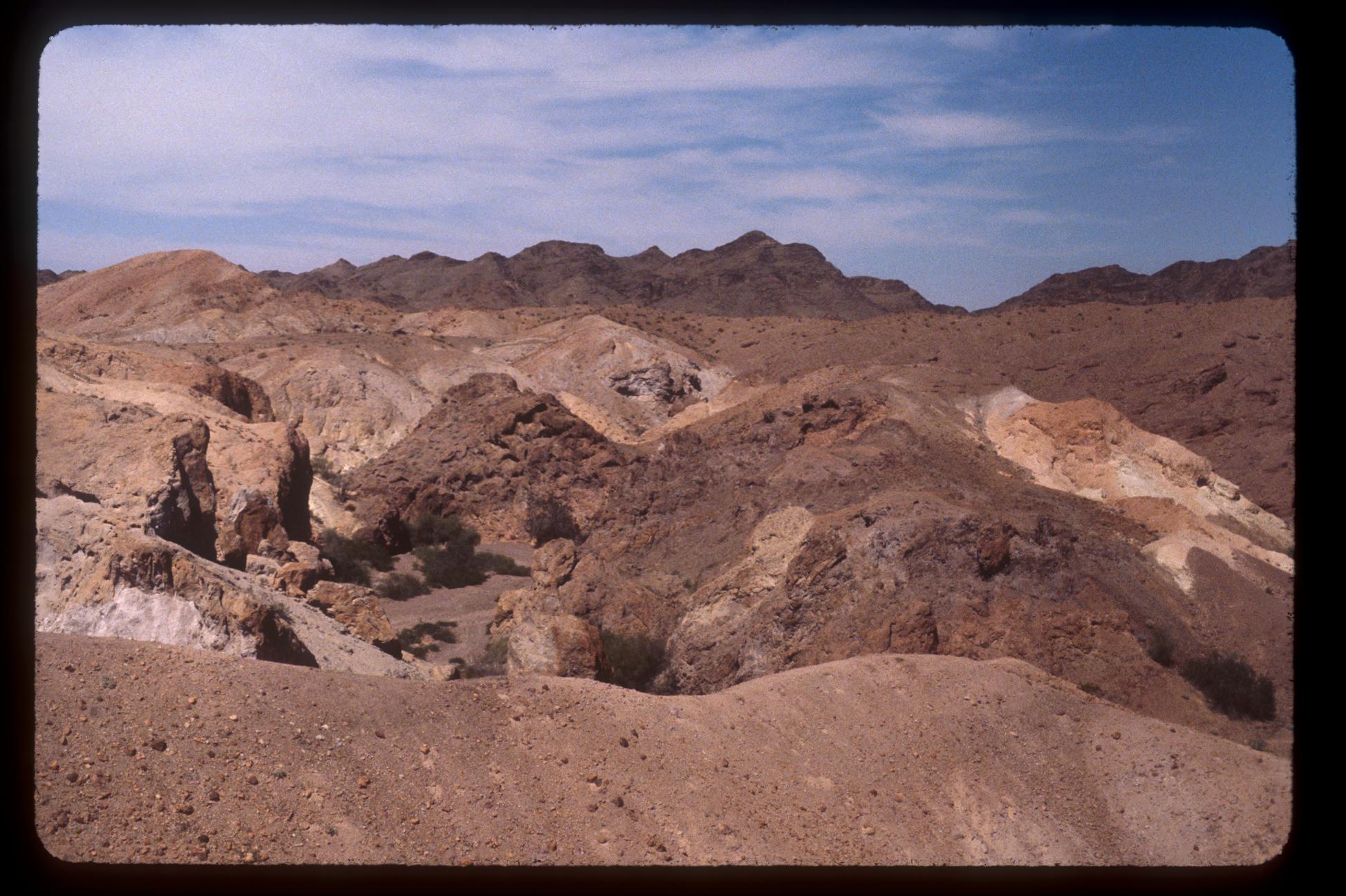
Ferguson Wash
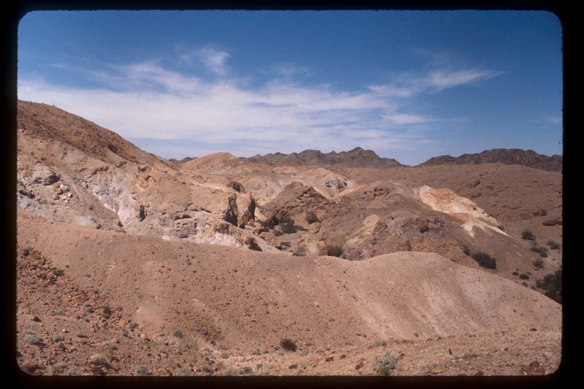
Ferguson Wash
покой
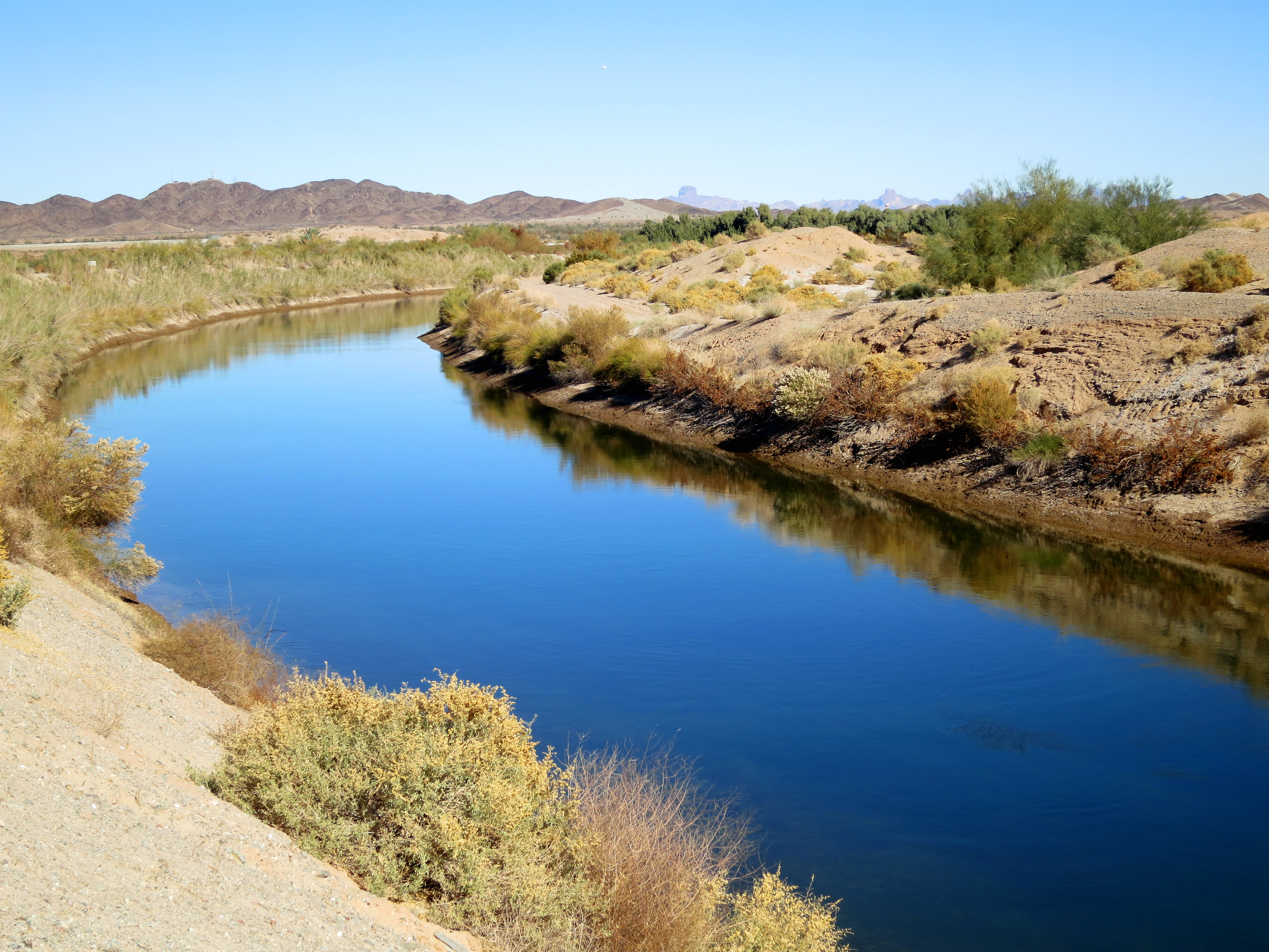
Follow The Water
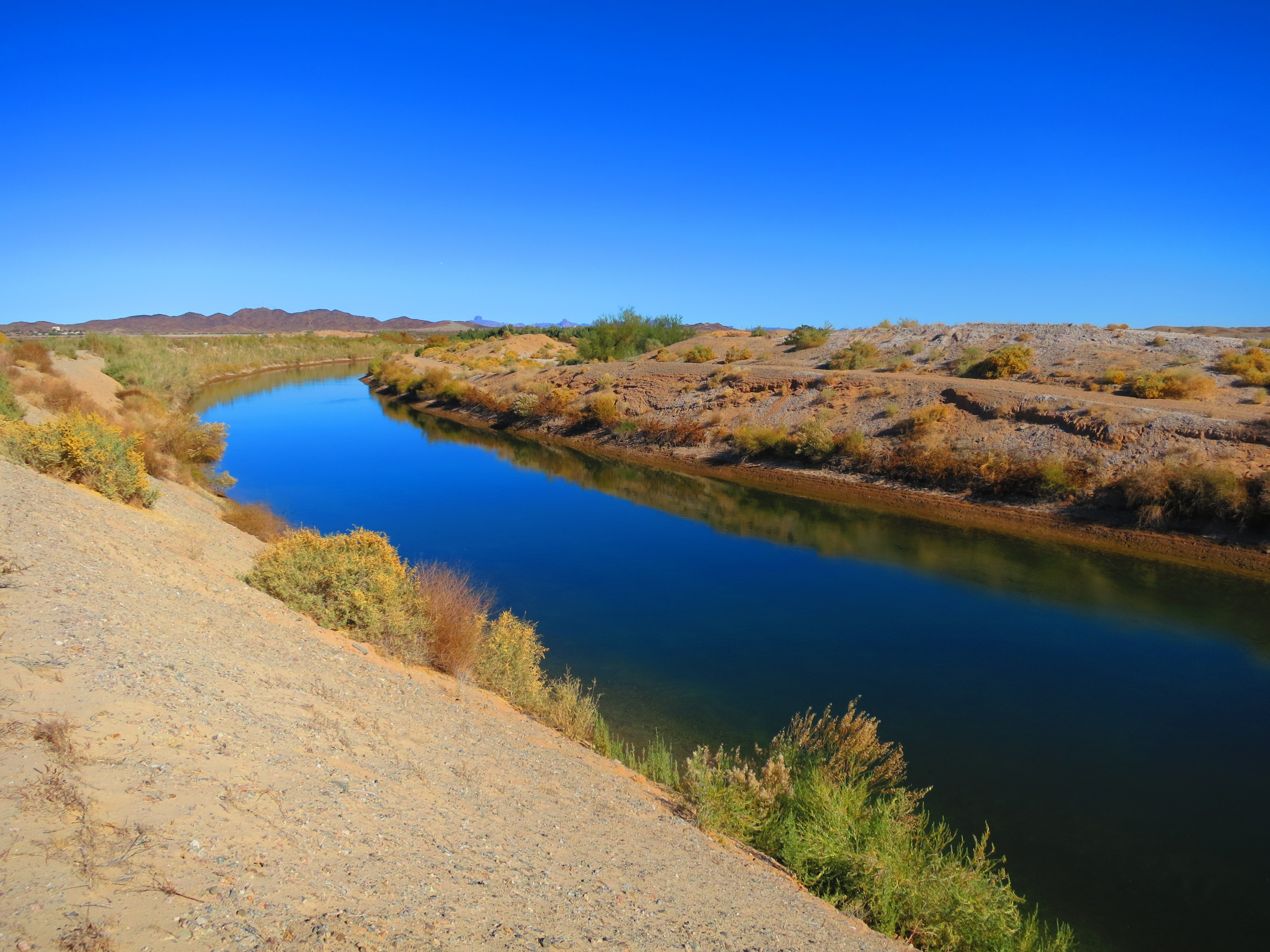
Follow The Water Around The Bend
Ferguson & Martinez Lakes
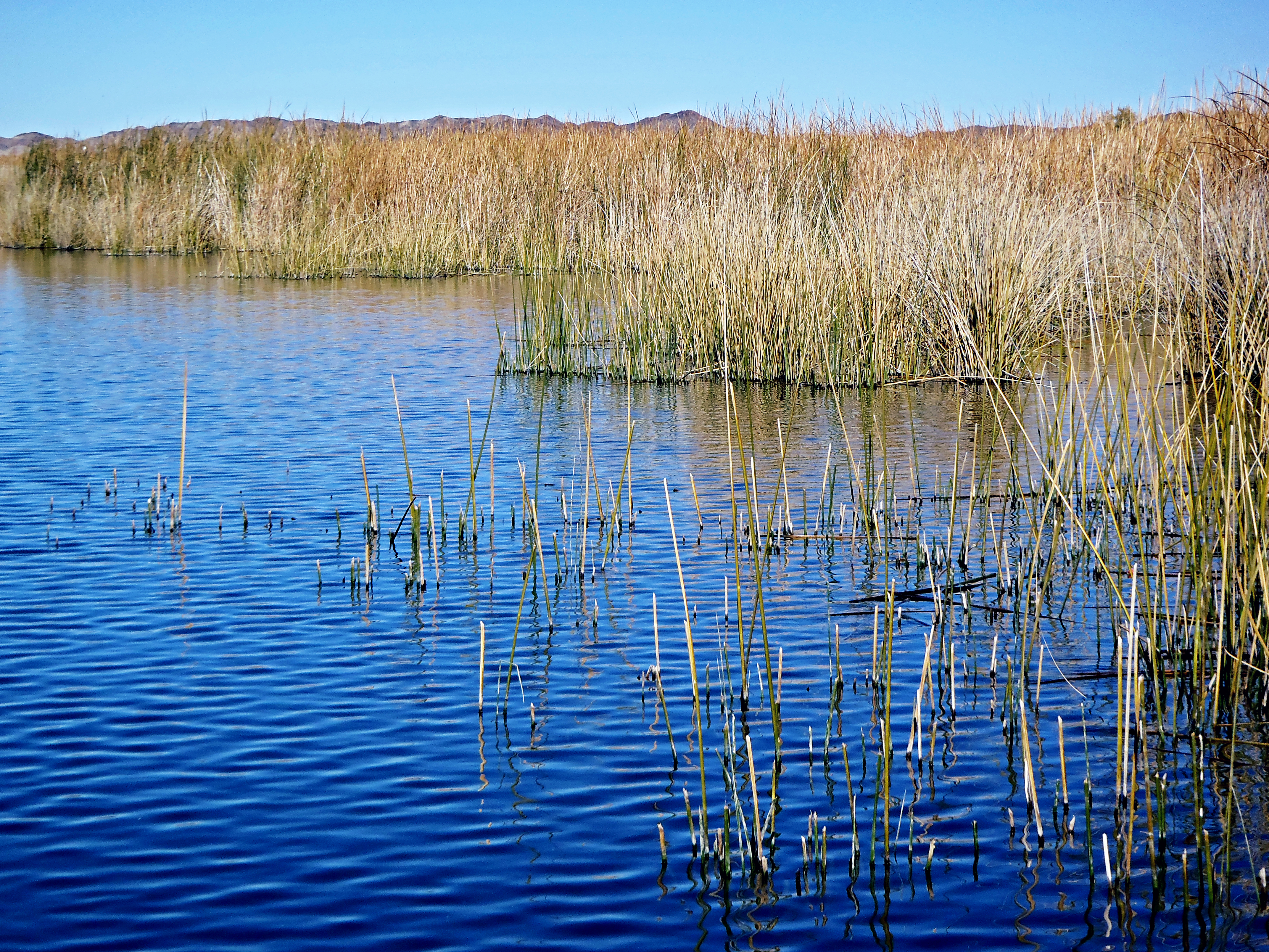
And Finally... Mittry Lake
The Way To Mittry Lake
Cutouts of Mittry Lake
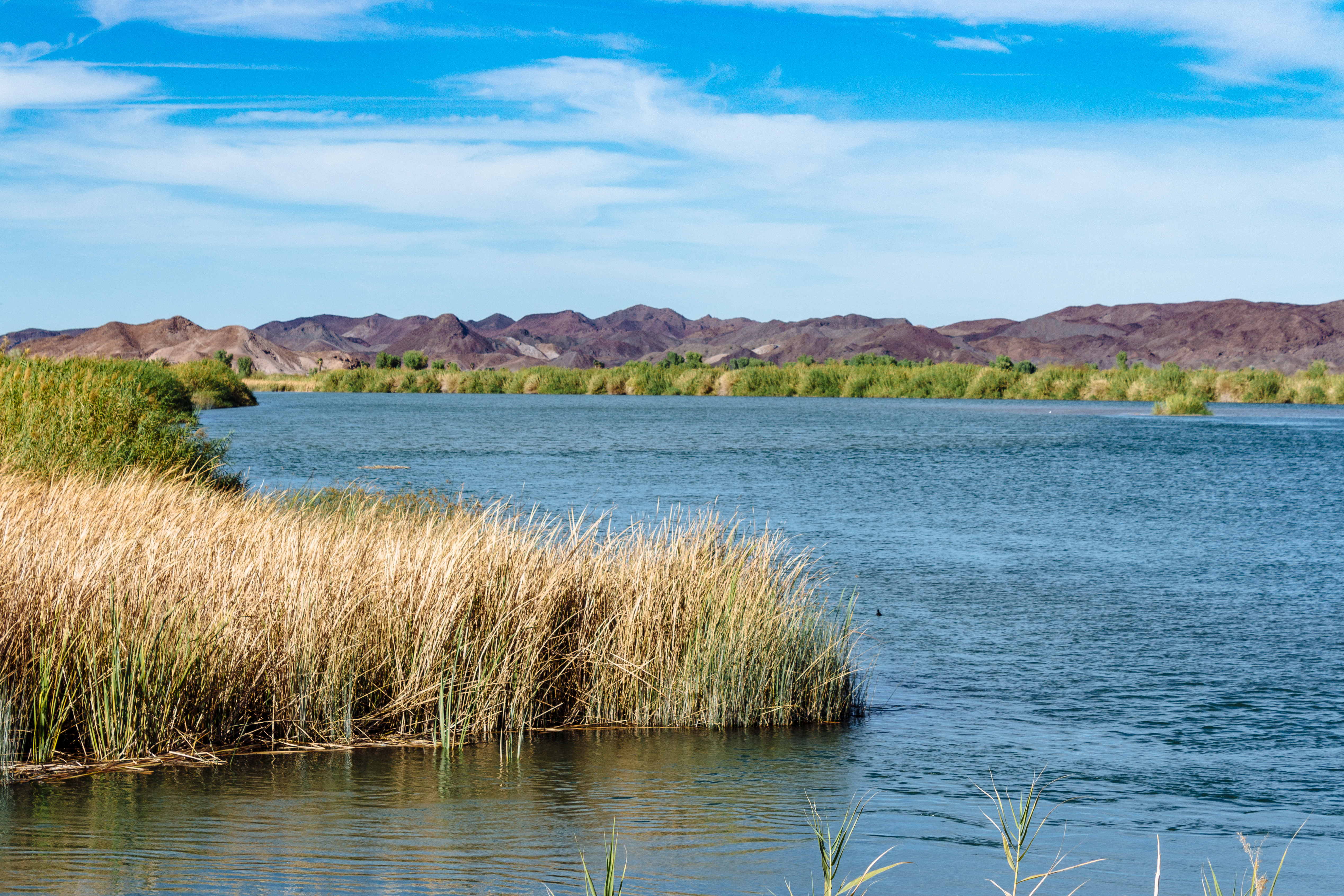
Imperial Reservoir

Yuma Lakes Reflections

Colorado River, Imperial National Wildlife Refuge.
Squaw Lake Campground
Imperial Dam
Topographic Map of Yuma Proving Ground, C St, Yuma, AZ, USA
Find elevation by address:

Places near Yuma Proving Ground, C St, Yuma, AZ, USA:
Imperial Dam
Laguna Dam
Castle Dome Landing
General Motors Desert Proving Ground - Yuma
Bard Rd, Winterhaven, CA, USA
Bard
Ross Rd, Winterhaven, CA, USA
11546 E Vía Montana
Mesa Del Sol Golf Club
11429 Vía Salida
11429 Vía Salida
11429 Vía Salida
10731 S Frontage Rd
11523 S Renee Ave
11568 S Paula Ave
The Foothills
Araby Rd, Yuma, AZ, USA
8221 E 35th St
Citrus View
5150 34th St
Recent Searches:
- Elevation of Leyte Industrial Development Estate, Isabel, Leyte, Philippines
- Elevation of W Granada St, Tampa, FL, USA
- Elevation of Pykes Down, Ivybridge PL21 0BY, UK
- Elevation of Jalan Senandin, Lutong, Miri, Sarawak, Malaysia
- Elevation of Bilohirs'k
- Elevation of 30 Oak Lawn Dr, Barkhamsted, CT, USA
- Elevation of Luther Road, Luther Rd, Auburn, CA, USA
- Elevation of Unnamed Road, Respublika Severnaya Osetiya — Alaniya, Russia
- Elevation of Verkhny Fiagdon, North Ossetia–Alania Republic, Russia
- Elevation of F. Viola Hiway, San Rafael, Bulacan, Philippines