Elevation of Union Peak, Montana, USA
Location: United States > Montana > Flathead County > Bigfork >
Longitude: -113.63981
Latitude: 47.6252167
Elevation: 2629m / 8625feet
Barometric Pressure: 73KPa
Elevation Map:
Satellite Map:
Related Photos:
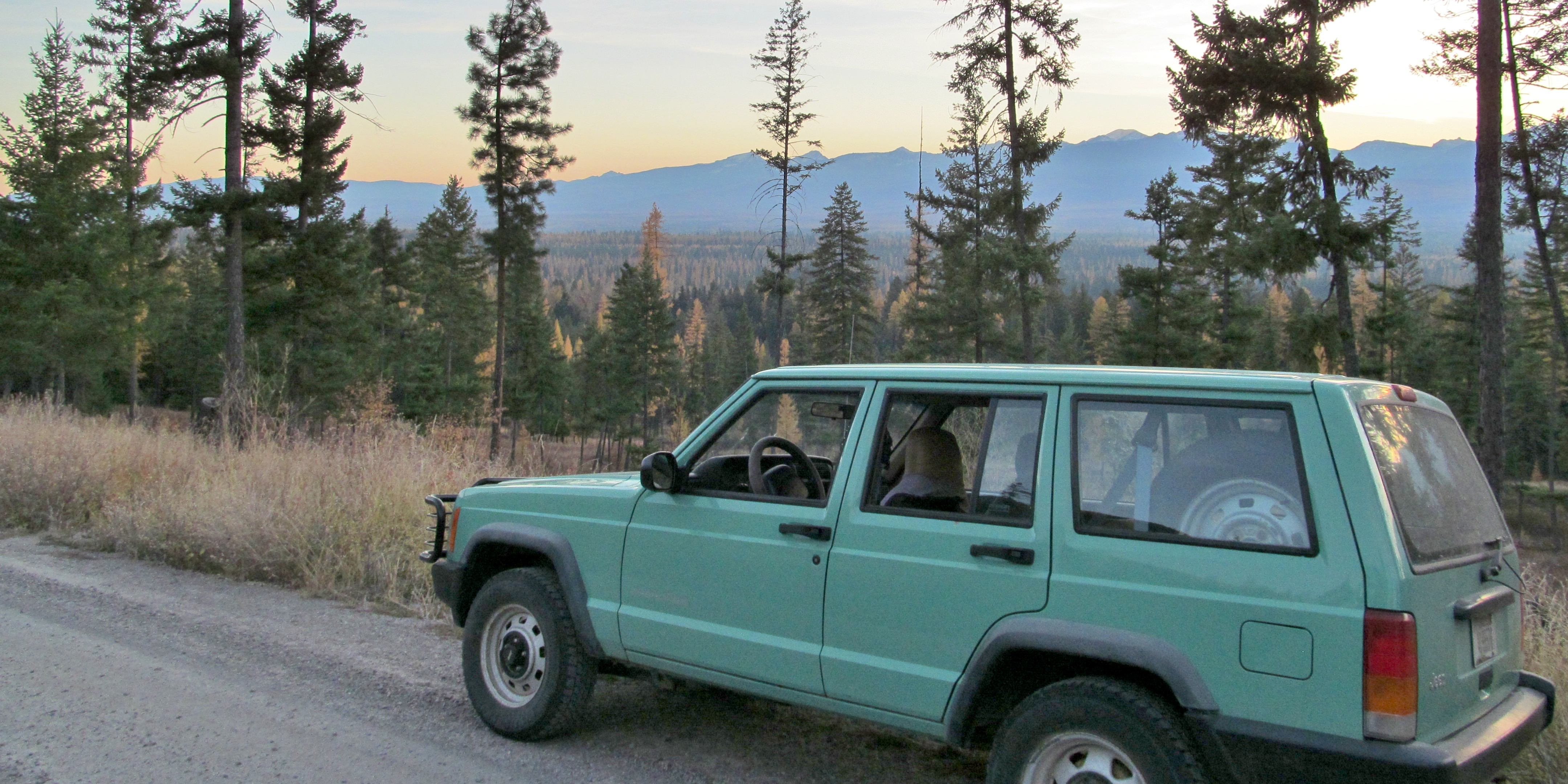
jeep's view of the swan valley

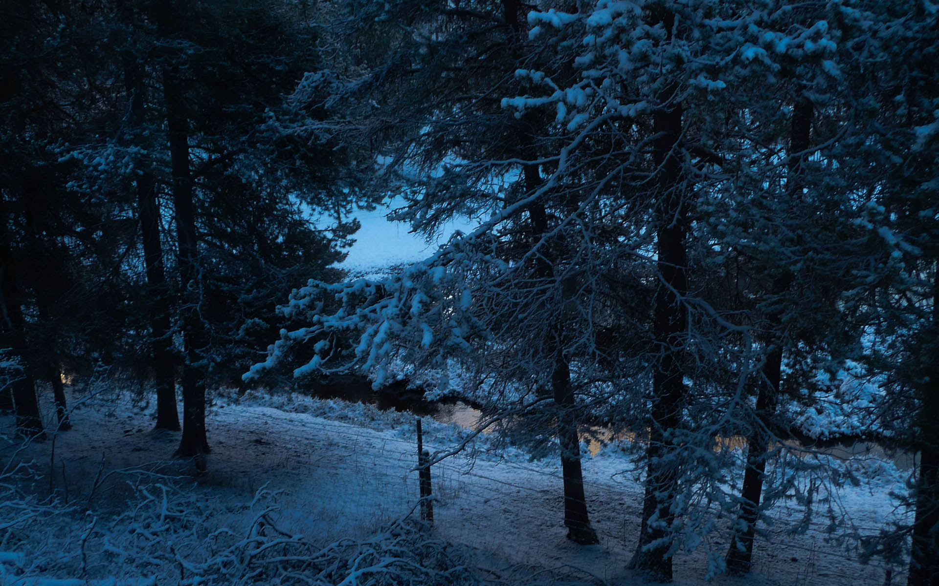
2013-10-03 New Snow
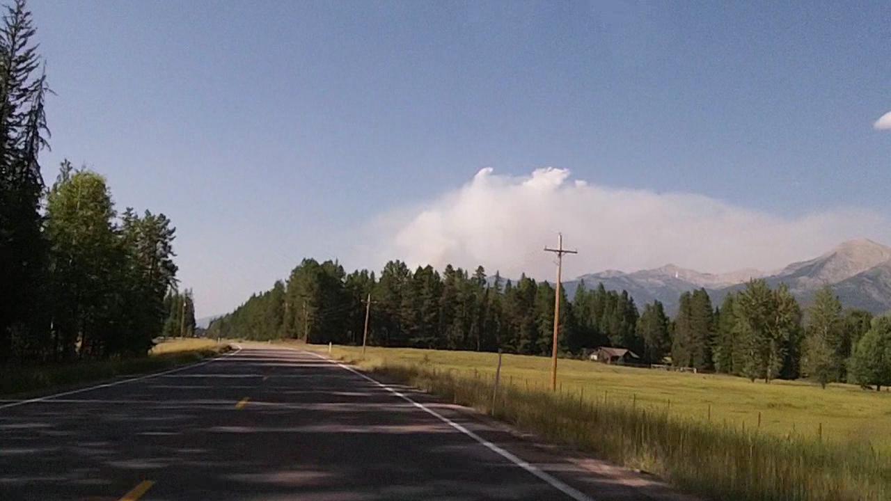
Mountains Ablaze Near Montana Highway 83
View into Narnia

Condon and Union Peaks
Topographic Map of Union Peak, Montana, USA
Find elevation by address:

Places near Union Peak, Montana, USA:
3282 Rumble Creek Rd
328 Uffda Dr
Condon
Stadium Peak
Gyp Mountain
5147 Mt-83
653 Pine Ridge Rd
Spud Point
Garnet Peak
Snow Peak
Waldbillig Mountain
Owl Creek
Carmine Peak
Little Carmine Peak
34410 Shay Lake Rd
Lena Peak
Patrol Point
Picture Ridge
Ptarmigan Mountain
Sarah Peak
Recent Searches:
- Elevation of Corso Fratelli Cairoli, 35, Macerata MC, Italy
- Elevation of Tallevast Rd, Sarasota, FL, USA
- Elevation of 4th St E, Sonoma, CA, USA
- Elevation of Black Hollow Rd, Pennsdale, PA, USA
- Elevation of Oakland Ave, Williamsport, PA, USA
- Elevation of Pedrógão Grande, Portugal
- Elevation of Klee Dr, Martinsburg, WV, USA
- Elevation of Via Roma, Pieranica CR, Italy
- Elevation of Tavkvetili Mountain, Georgia
- Elevation of Hartfords Bluff Cir, Mt Pleasant, SC, USA