Elevation of Patrol Point, Montana, USA
Location: United States > Montana > Powell County >
Longitude: -113.44313
Latitude: 47.5179941
Elevation: 2413m / 7917feet
Barometric Pressure: 75KPa
Elevation Map:
Satellite Map:
Related Photos:
14 - Camp 1
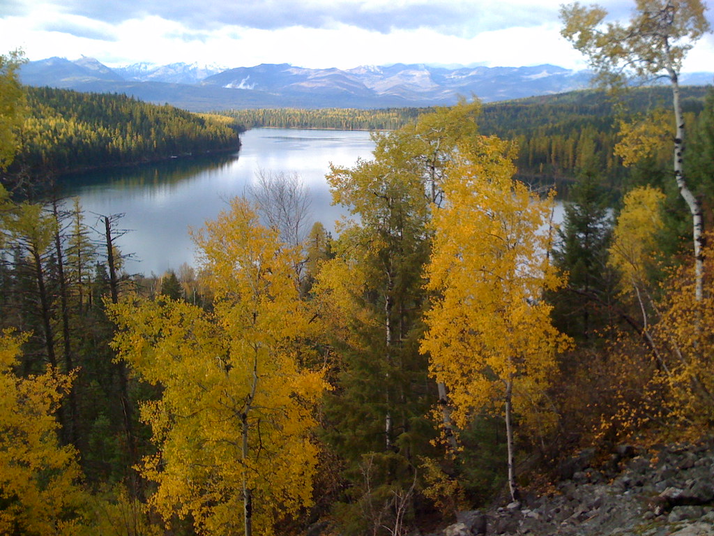
Holland Lake view with aspens
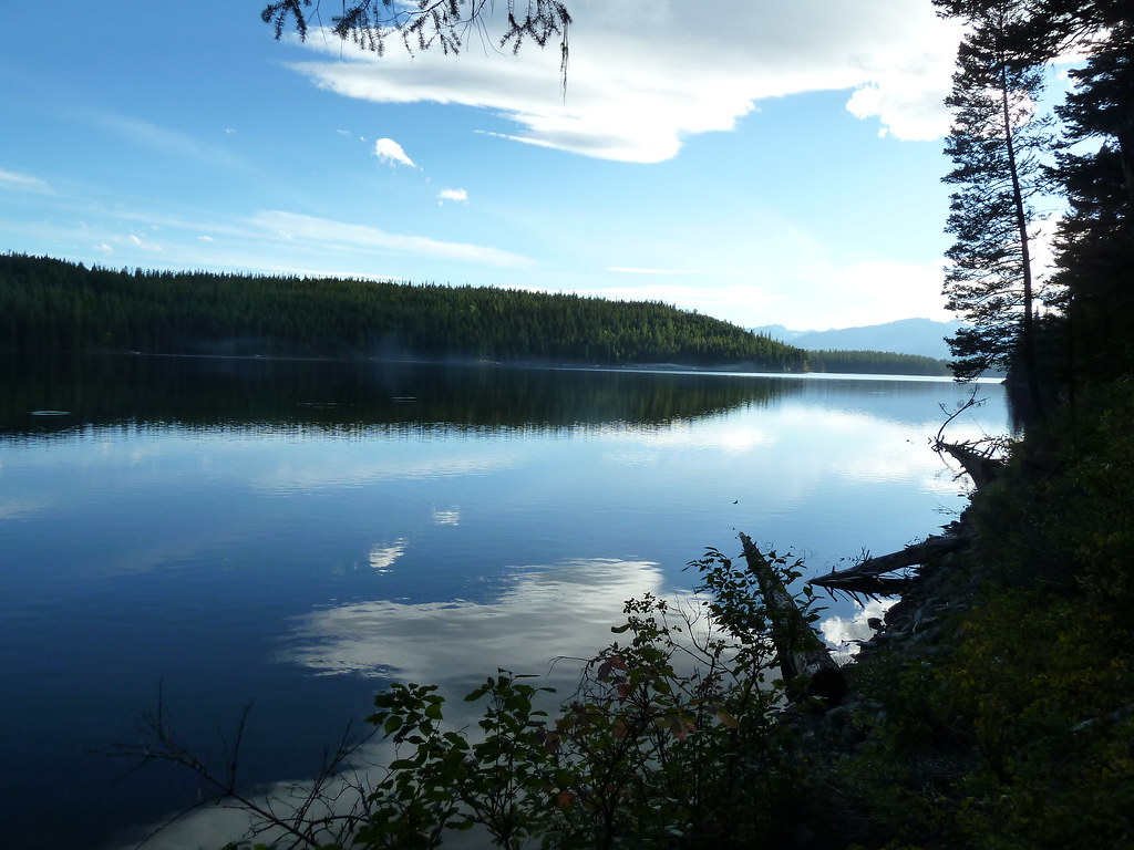
Holland Lake view from the falls

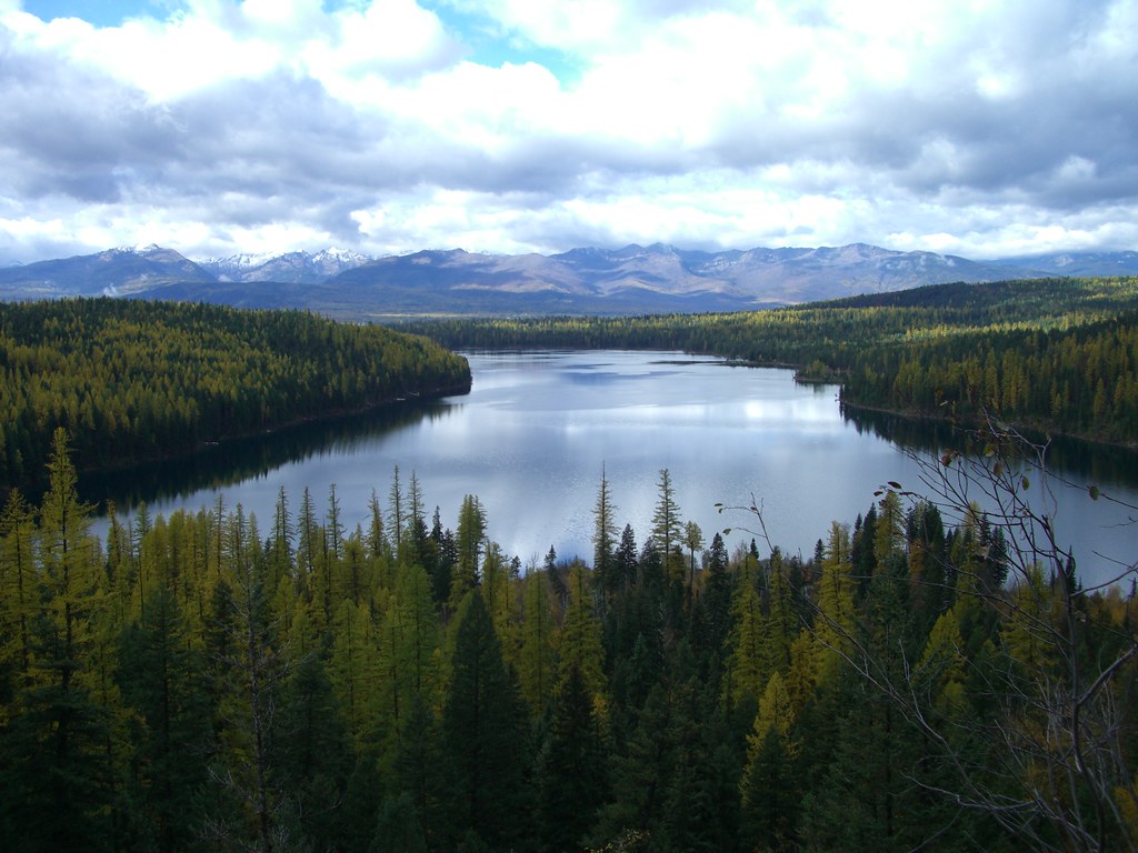
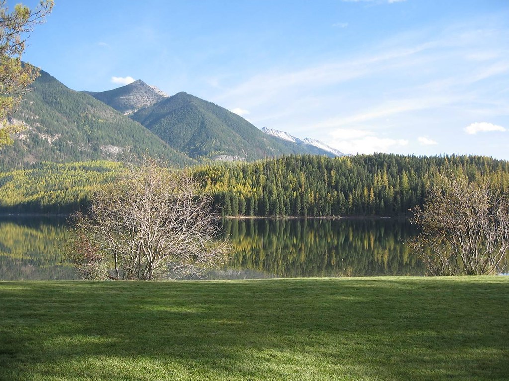
Holland Lake
Holland Lake

Holland Lake view from the falls

Holland Lake view from the falls

24 - The Dayhike

Holland Lake views

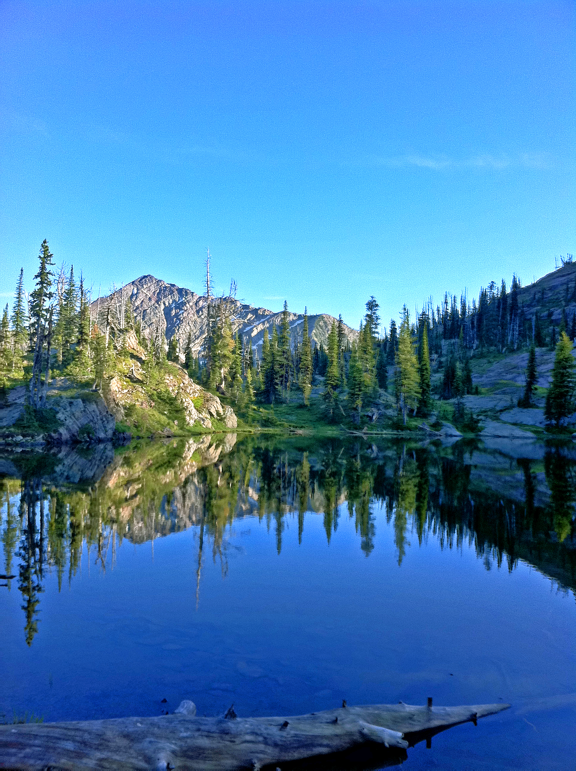
Peak in Mission Range

Holland Lake

Holland Lake
Holland Lake
Topographic Map of Patrol Point, Montana, USA
Find elevation by address:

Places near Patrol Point, Montana, USA:
Lena Peak
Spud Point
Flame Peak
Gyp Mountain
Charlotte Peak
Scarface Mountain
Waldbillig Mountain
Garnet Peak
Little Carmine Peak
Carmine Peak
Ptarmigan Mountain
Fisher Peak
Snow Peak
Owl Creek
Stadium Peak
Sunday Mountain
Count Peak
Matt Mountain
3282 Rumble Creek Rd
Cone Peak
Recent Searches:
- Elevation of Corso Fratelli Cairoli, 35, Macerata MC, Italy
- Elevation of Tallevast Rd, Sarasota, FL, USA
- Elevation of 4th St E, Sonoma, CA, USA
- Elevation of Black Hollow Rd, Pennsdale, PA, USA
- Elevation of Oakland Ave, Williamsport, PA, USA
- Elevation of Pedrógão Grande, Portugal
- Elevation of Klee Dr, Martinsburg, WV, USA
- Elevation of Via Roma, Pieranica CR, Italy
- Elevation of Tavkvetili Mountain, Georgia
- Elevation of Hartfords Bluff Cir, Mt Pleasant, SC, USA