Elevation of Stadium Peak, Montana, USA
Location: United States > Montana > Flathead County >
Longitude: -113.50091
Latitude: 47.6788289
Elevation: 2447m / 8028feet
Barometric Pressure: 75KPa
Elevation Map:
Satellite Map:
Related Photos:

Morning on Big Salmon Lake

Big Salmon Lake

Big Salmon Creek
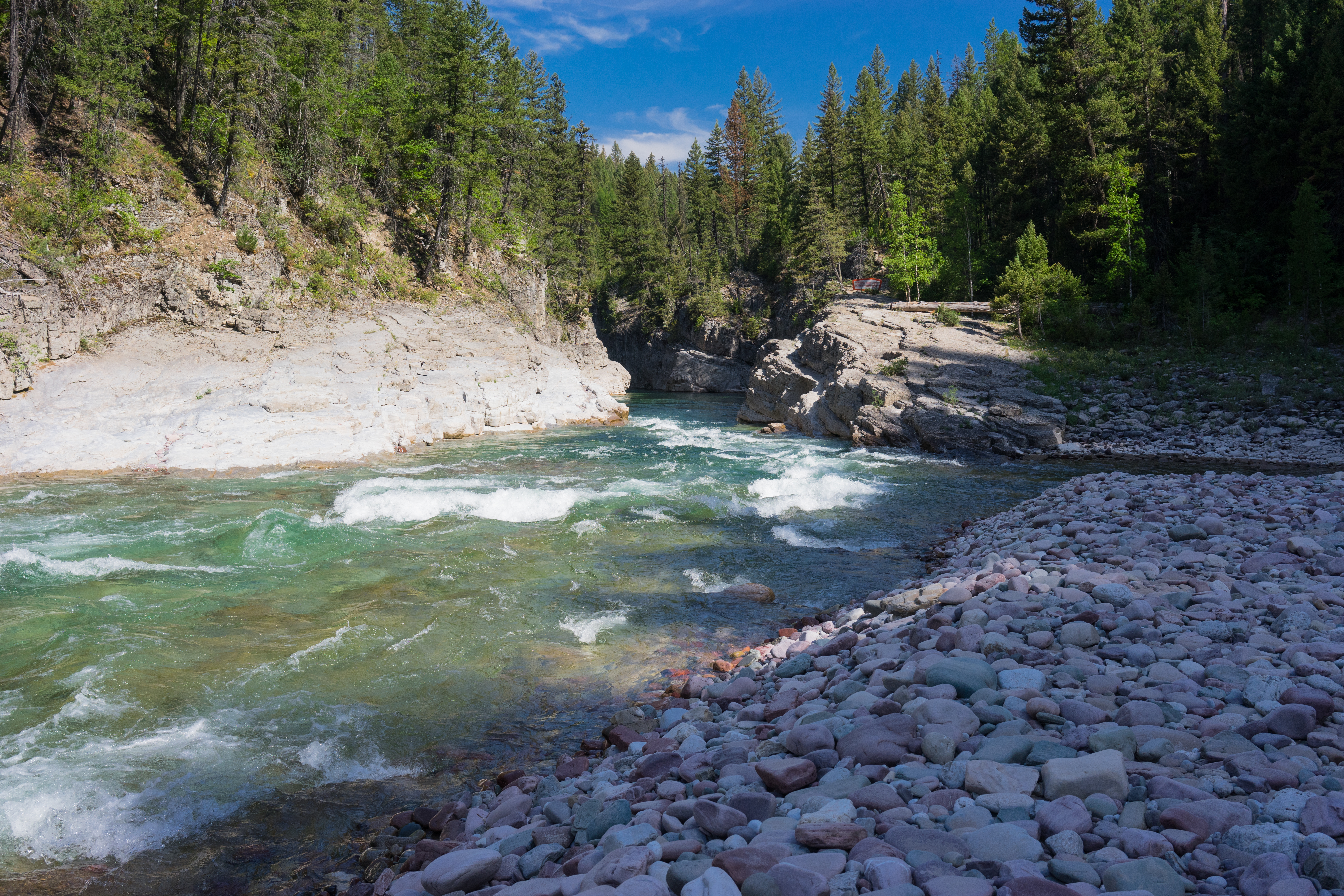
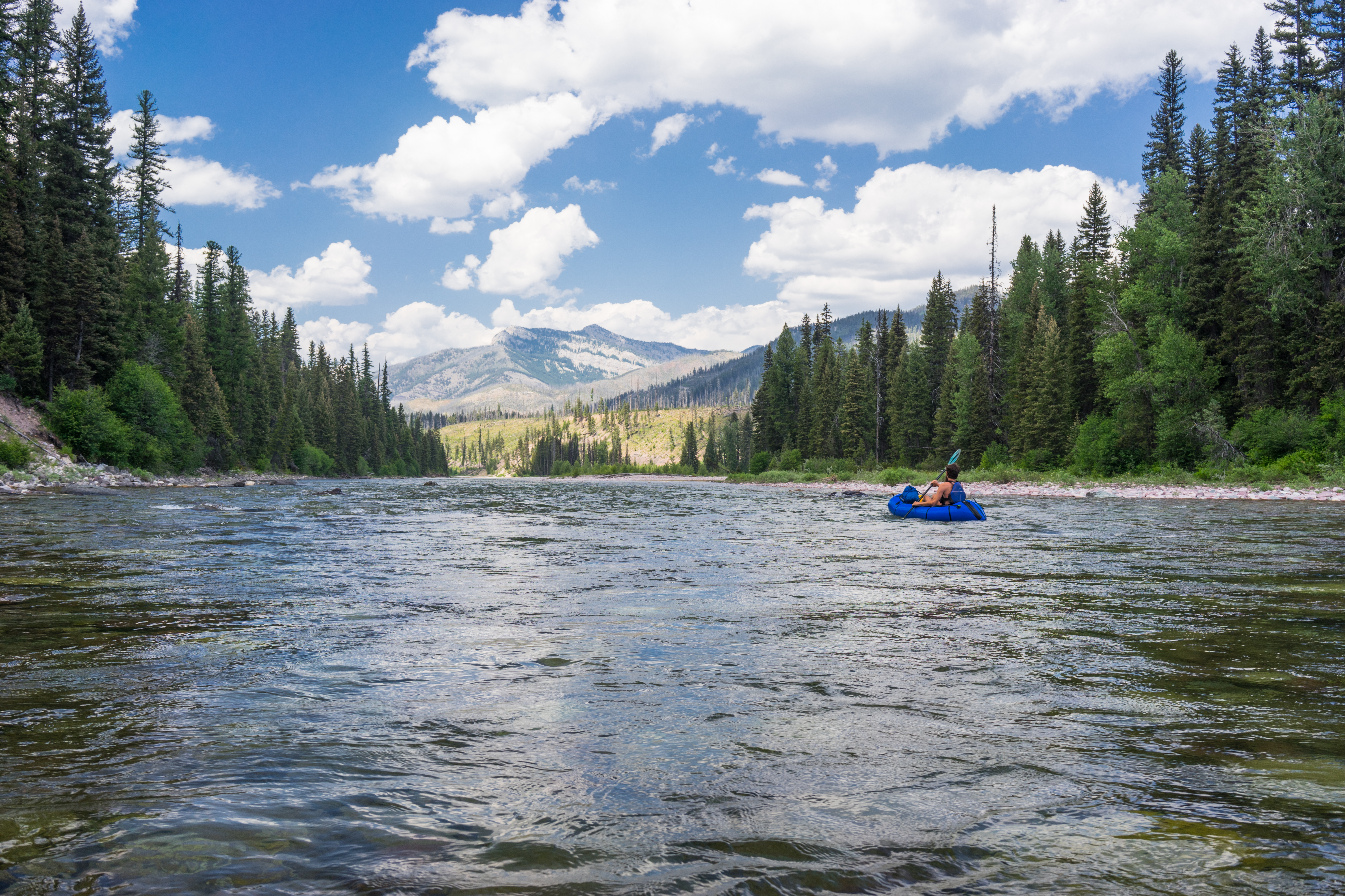
South Fork of the Flathead River
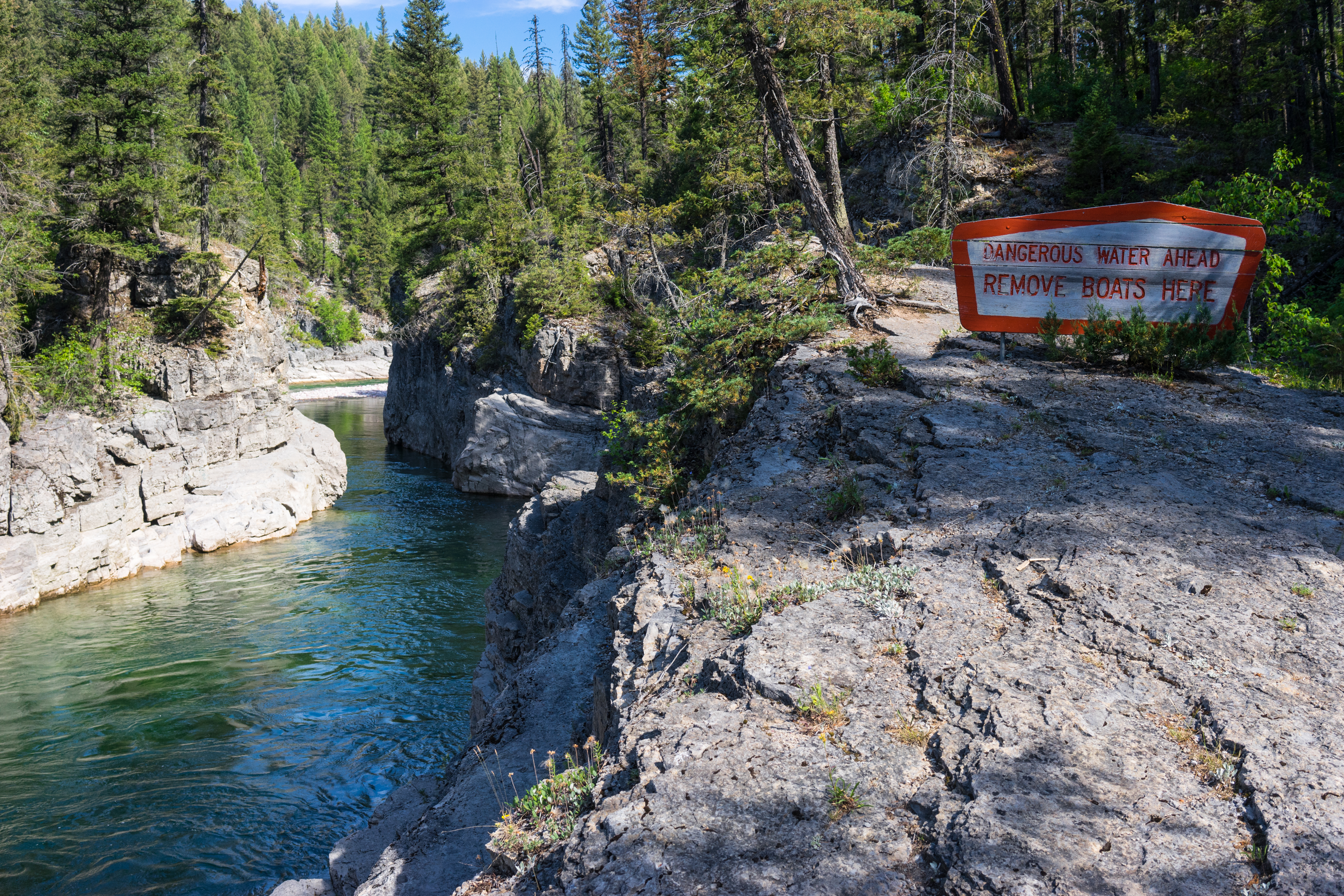
Mid Creek Takeout
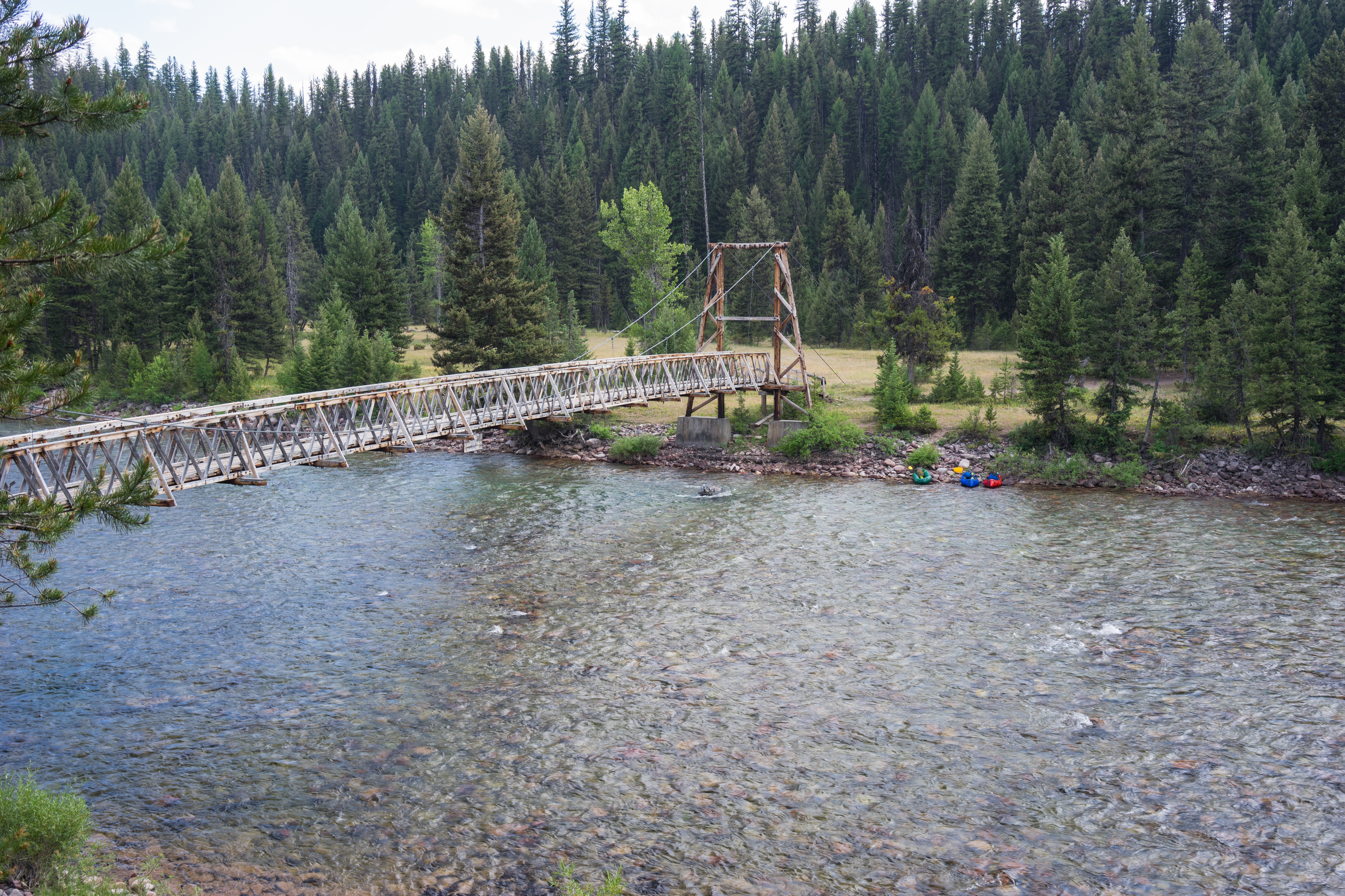
Black Bear Pack Bridge
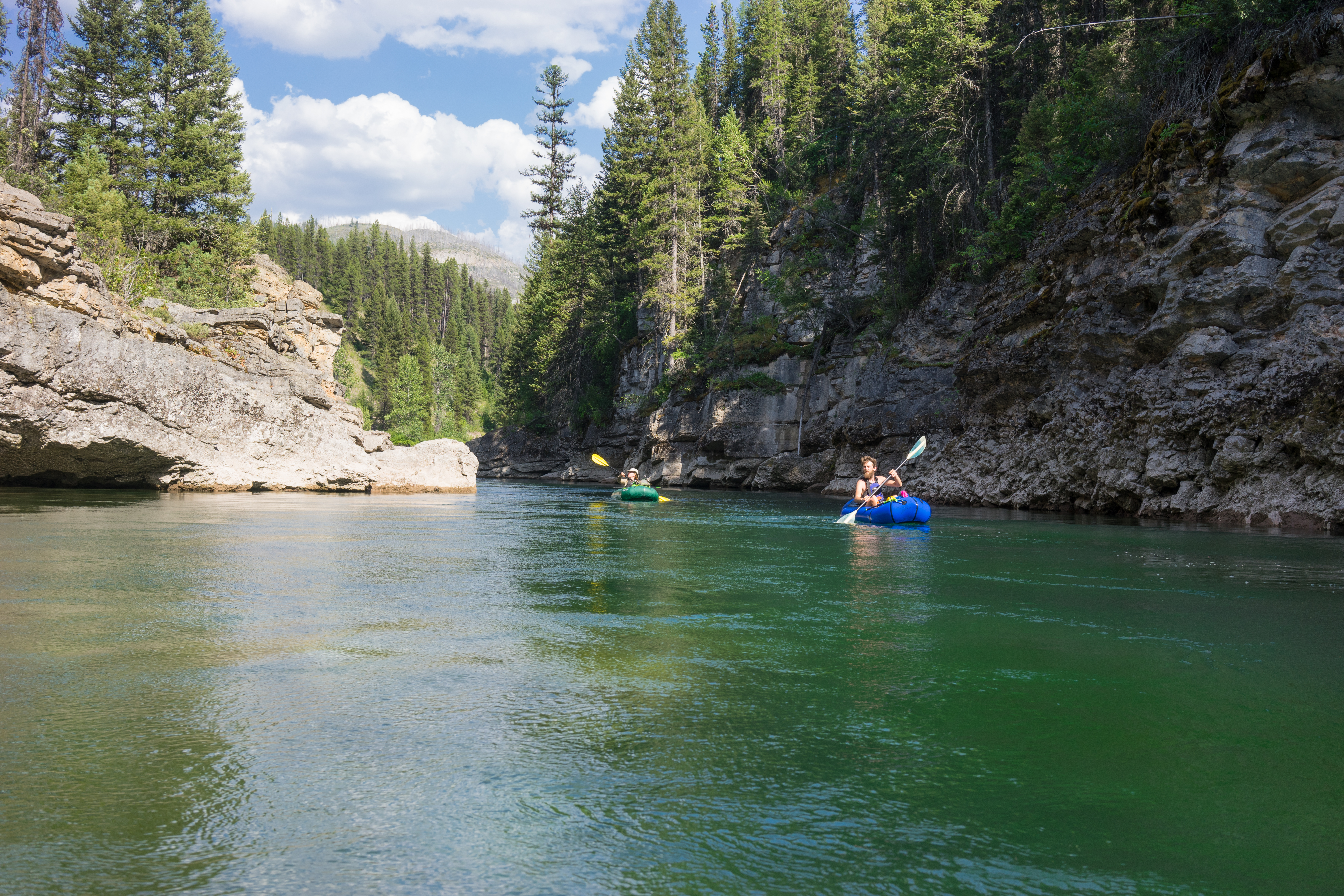
South Fork of the Flathead River
Black Bear Mountain

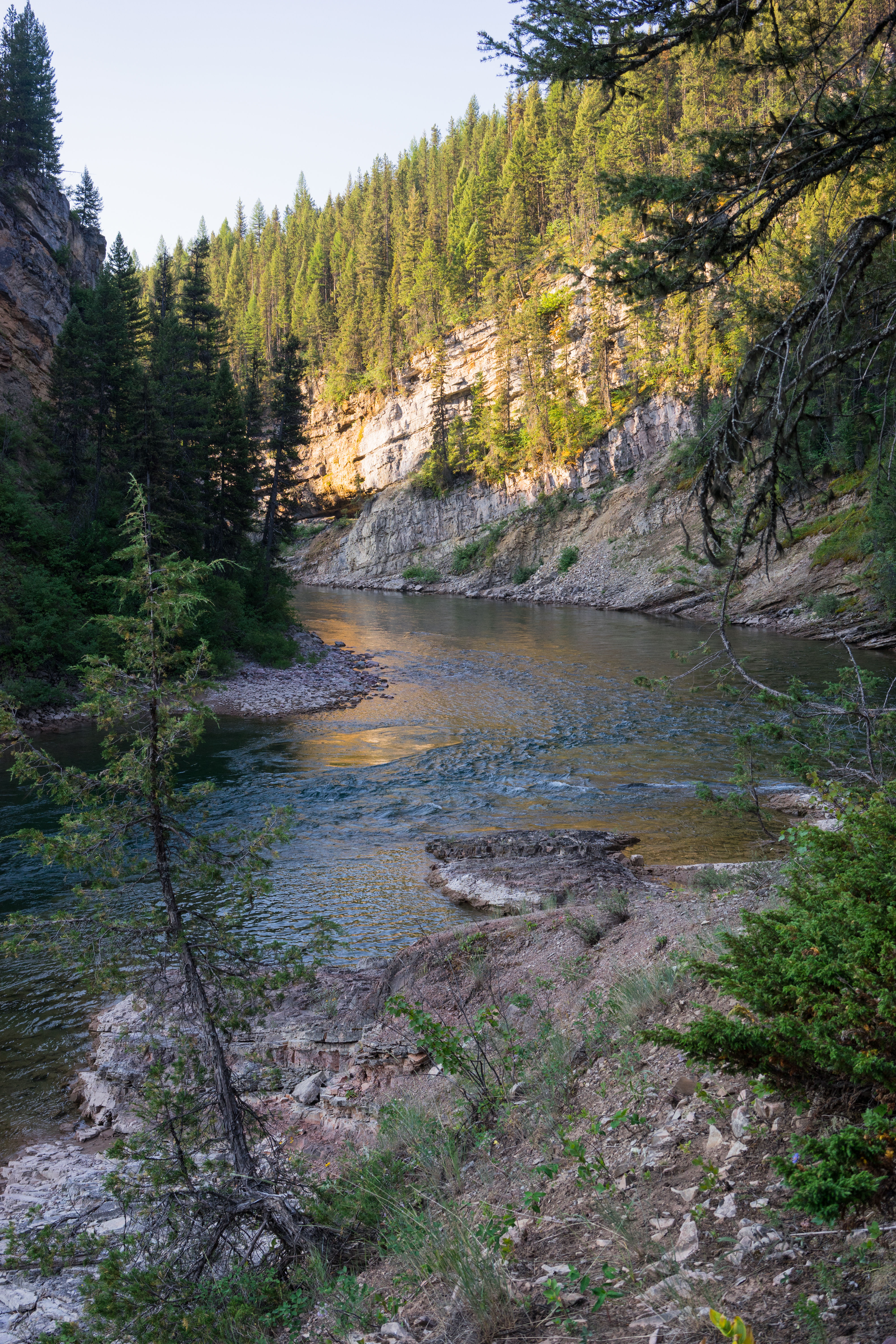
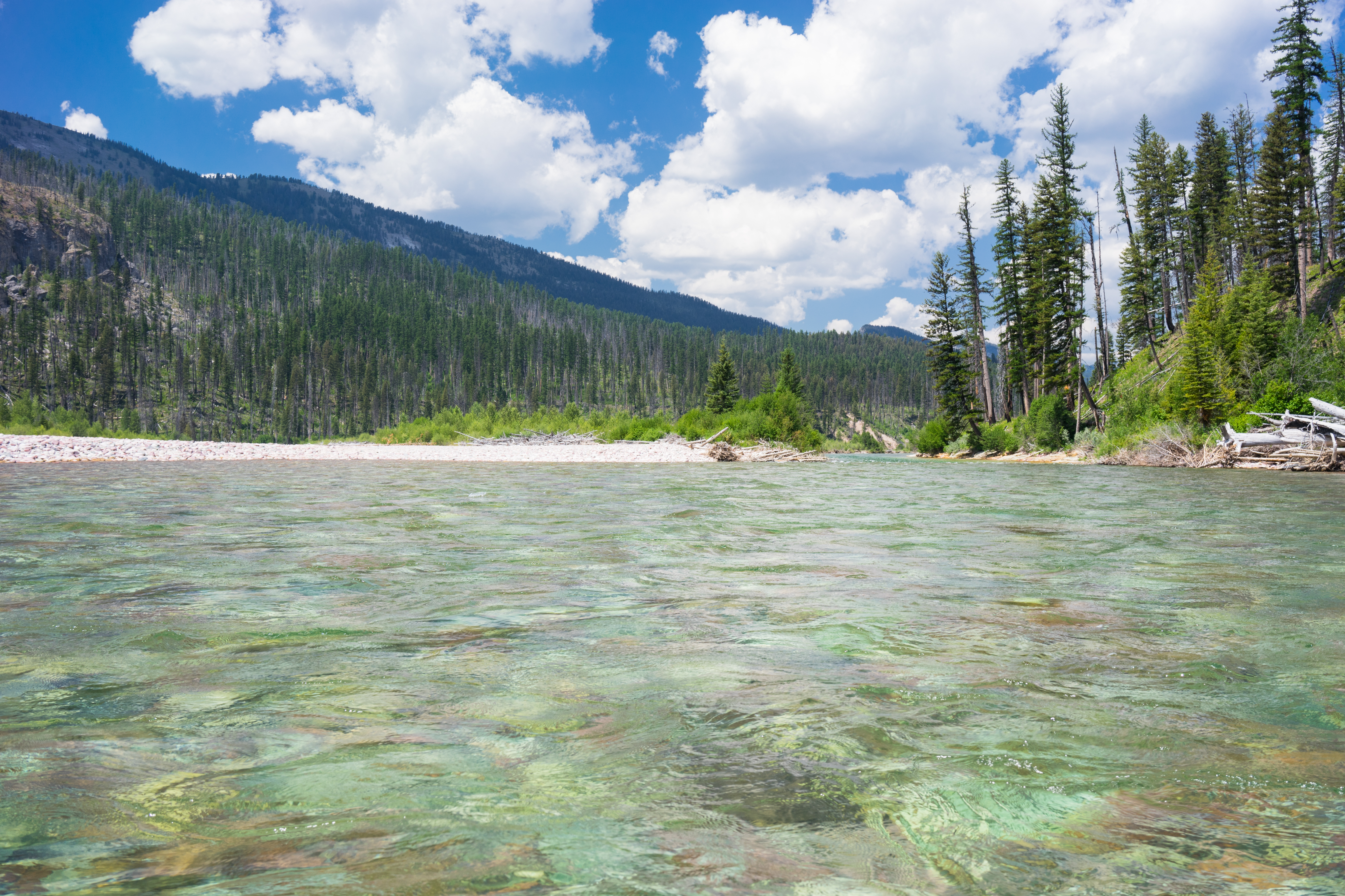
South Fork of the Flathead River
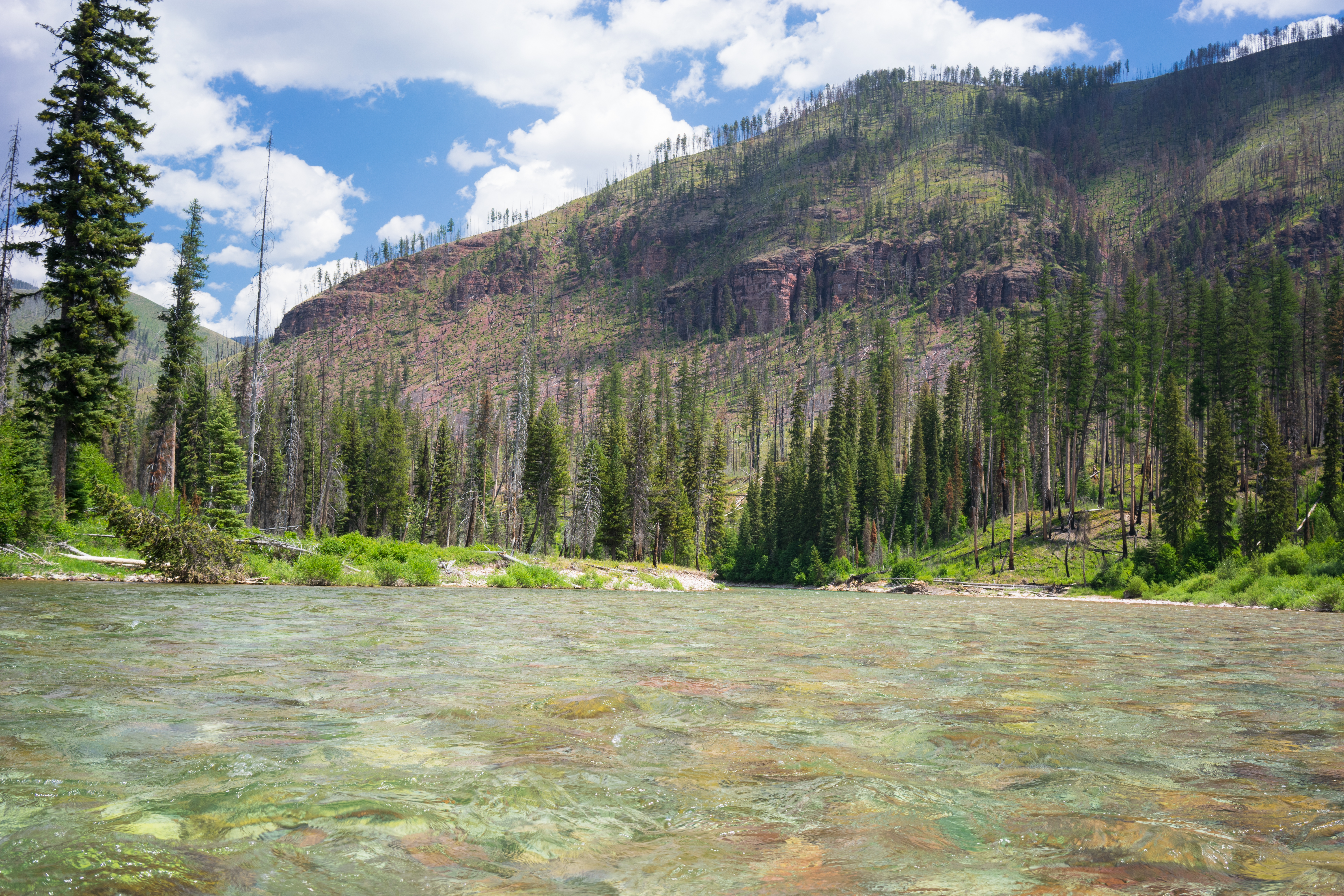
South Fork of the Flathead River
South Fork of the Flathead River
South Fork of the Flathead River
Topographic Map of Stadium Peak, Montana, USA
Find elevation by address:

Places near Stadium Peak, Montana, USA:
Snow Peak
Garnet Peak
Picture Ridge
Sarah Peak
Spud Point
Gyp Mountain
Union Peak
Charlotte Peak
Patrol Point
Black Bear Mountain
Lena Peak
Flame Peak
Scarface Mountain
Waldbillig Mountain
3282 Rumble Creek Rd
Cone Peak
Little Carmine Peak
Carmine Peak
328 Uffda Dr
Turtlehead Mountain
Recent Searches:
- Elevation of Corso Fratelli Cairoli, 35, Macerata MC, Italy
- Elevation of Tallevast Rd, Sarasota, FL, USA
- Elevation of 4th St E, Sonoma, CA, USA
- Elevation of Black Hollow Rd, Pennsdale, PA, USA
- Elevation of Oakland Ave, Williamsport, PA, USA
- Elevation of Pedrógão Grande, Portugal
- Elevation of Klee Dr, Martinsburg, WV, USA
- Elevation of Via Roma, Pieranica CR, Italy
- Elevation of Tavkvetili Mountain, Georgia
- Elevation of Hartfords Bluff Cir, Mt Pleasant, SC, USA