Elevation of Union, IA, USA
Location: United States > Iowa > Worth County >
Longitude: -93.077656
Latitude: 43.3074974
Elevation: 366m / 1201feet
Barometric Pressure: 97KPa
Elevation Map:
Satellite Map:
Related Photos:

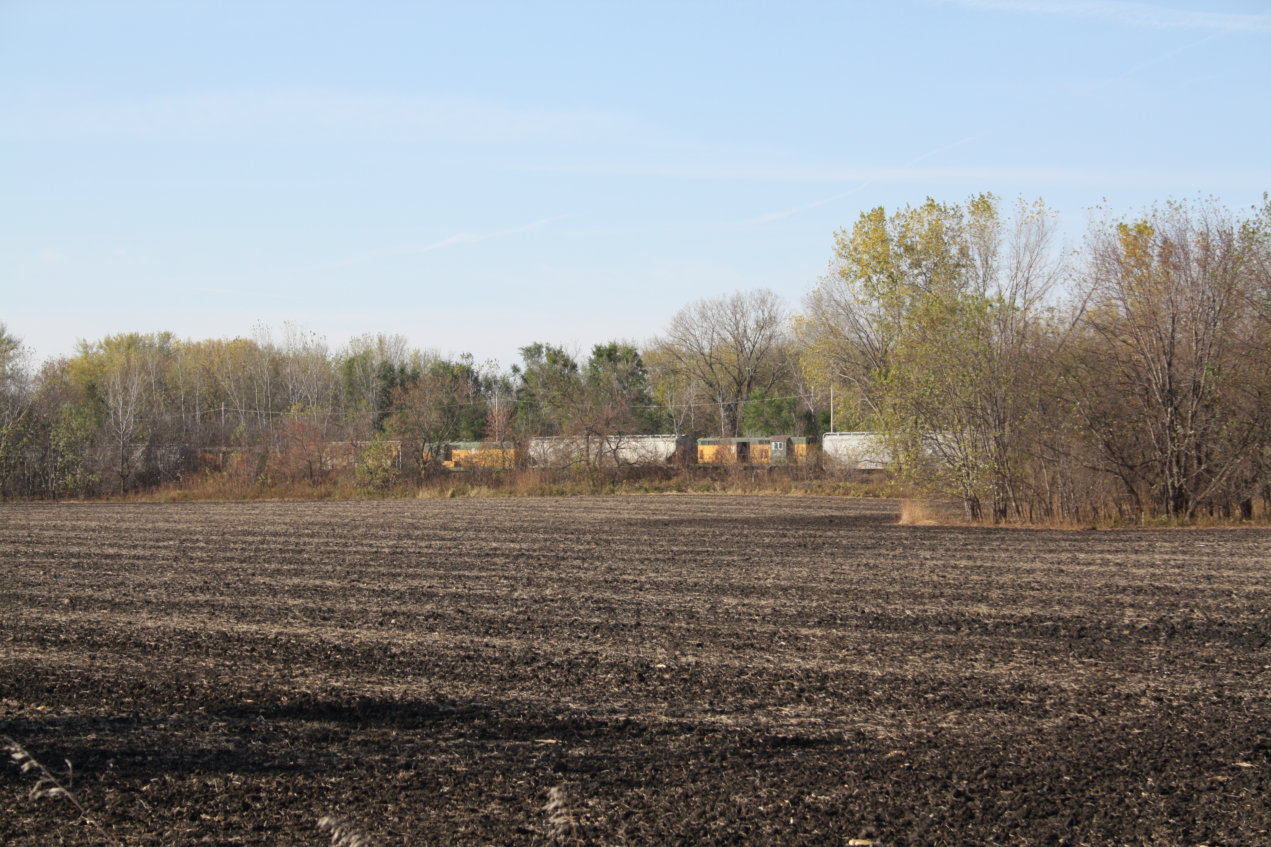
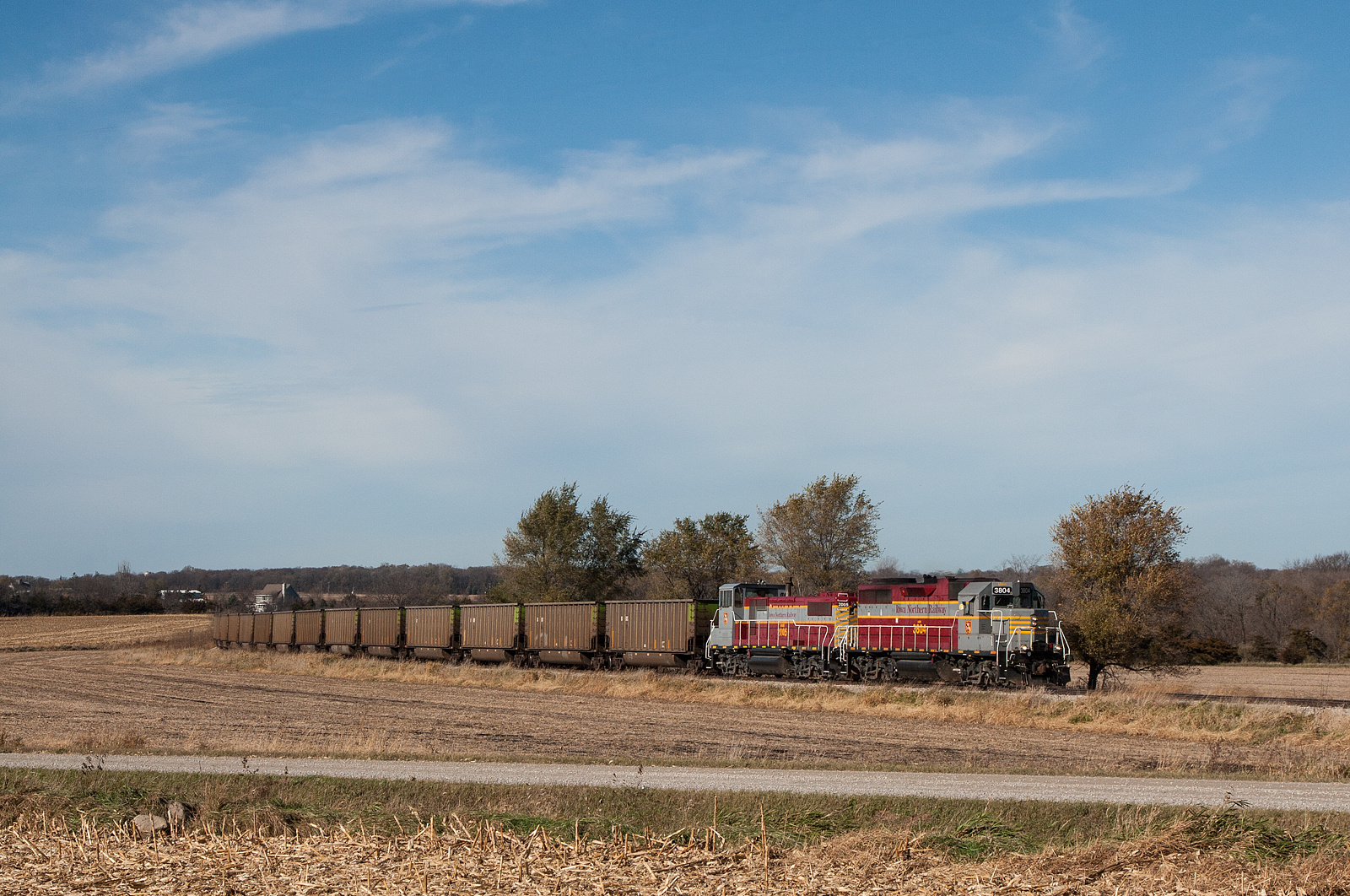
Iowa Northern Local
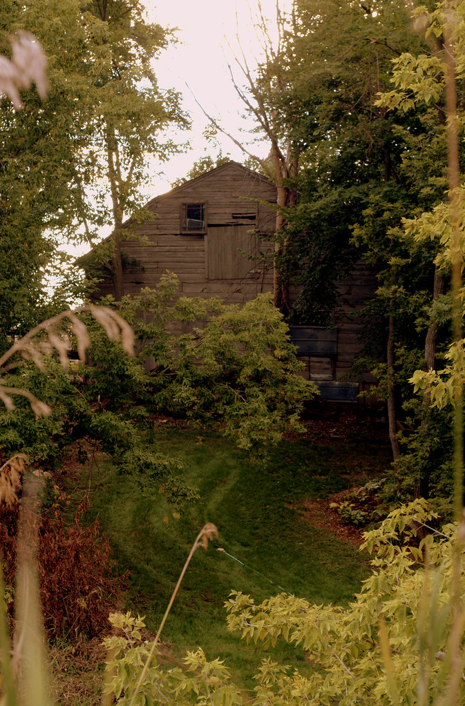
A Hidden Treasure

Aphrodite Fritillary (Speyeria aphrodite)

Black Dash (Euphyes conspicua)
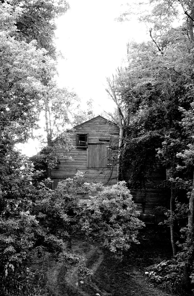
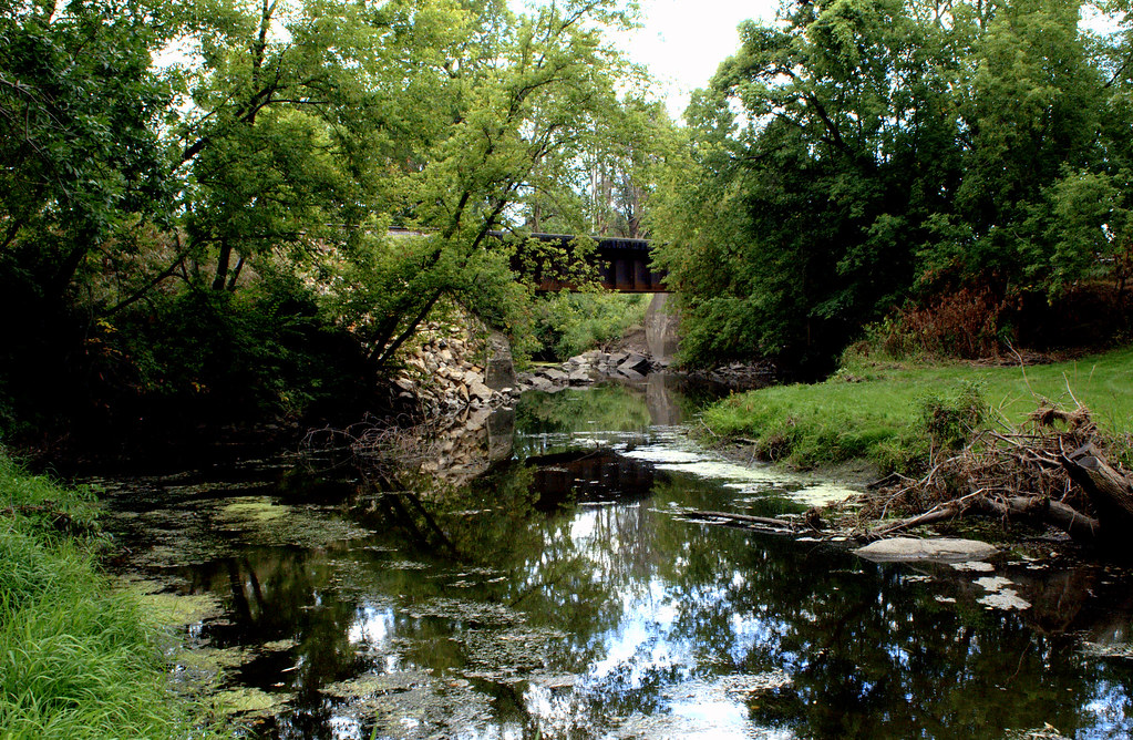
Diamond in the Rough
CNW geeps return to Manly, IA
S. of Rock Falls
(Just Slightly) out of tune
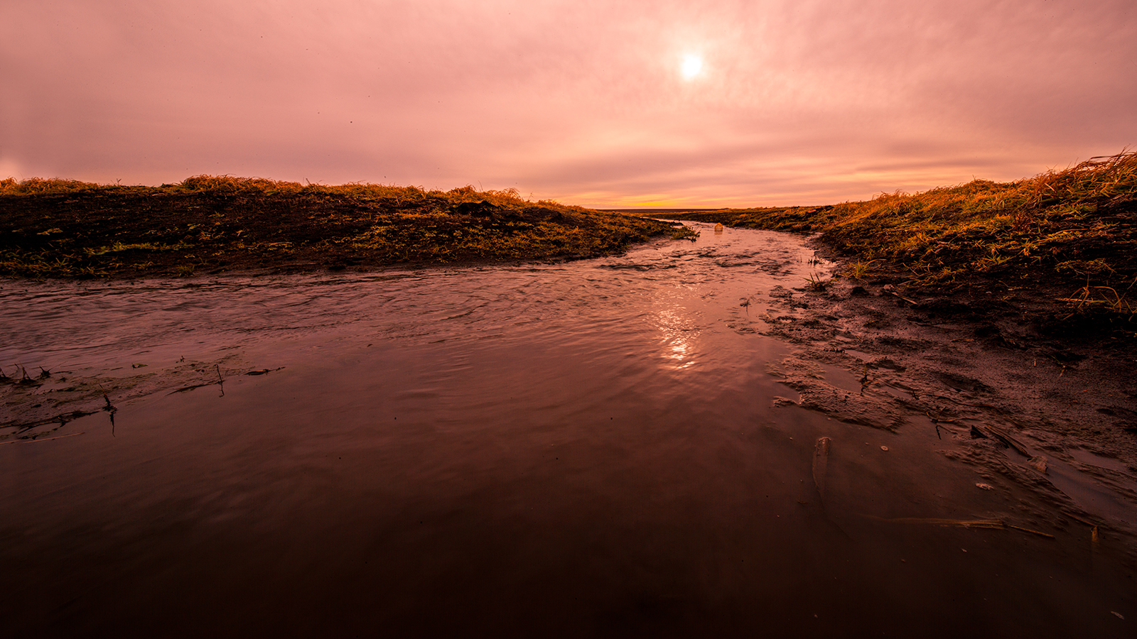
A Stream Runs Through It.

Deleware Skipper (Anatrytone logan)
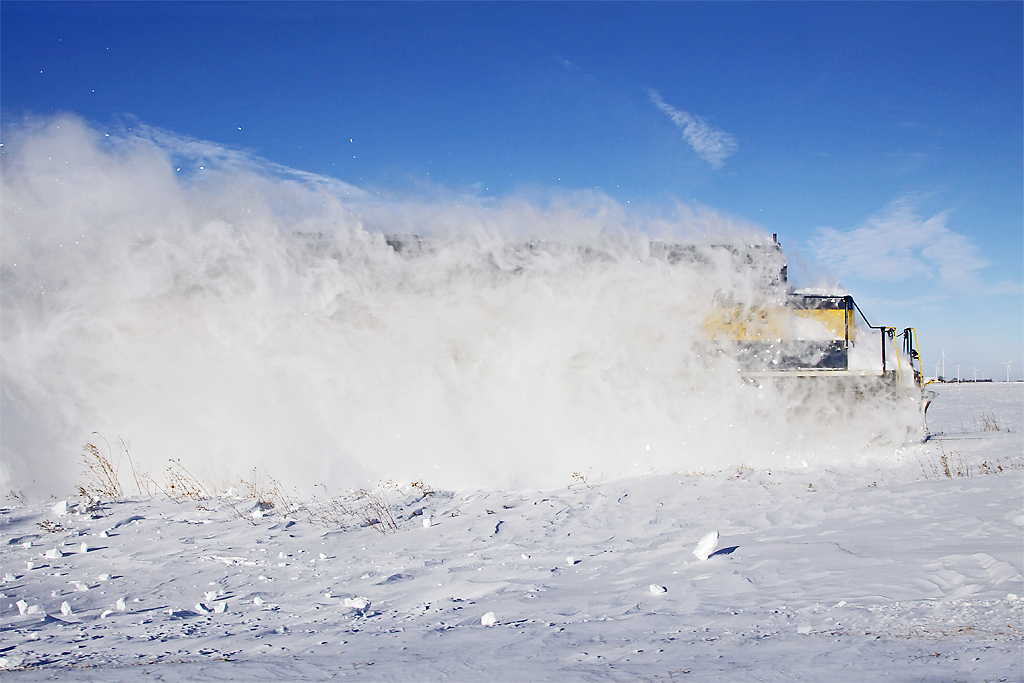
ice s 6443snow
Topographic Map of Union, IA, USA
Find elevation by address:

Places in Union, IA, USA:
Places near Union, IA, USA:
Grafton
3rd St, Grafton, IA, USA
Warbler Ave, Plymouth, IA, USA
Main St, Plymouth, IA, USA
Plymouth
Falls
5 Mill St, Rock Falls, IA, USA
Rock Falls
E Main St, Manly, IA, USA
Lime Creek
th St, Mason City, IA, USA
Mystic Lanes
Nora Springs
23-25
Main St, Mason City, IA, USA
Grove
Rock Grove
Portland
112 N Pennsylvania Ave
Mason City
Recent Searches:
- Elevation of Leguwa, Nepal
- Elevation of County Rd, Enterprise, AL, USA
- Elevation of Kolchuginsky District, Vladimir Oblast, Russia
- Elevation of Shustino, Vladimir Oblast, Russia
- Elevation of Lampiasi St, Sarasota, FL, USA
- Elevation of Elwyn Dr, Roanoke Rapids, NC, USA
- Elevation of Congressional Dr, Stevensville, MD, USA
- Elevation of Bellview Rd, McLean, VA, USA
- Elevation of Stage Island Rd, Chatham, MA, USA
- Elevation of Shibuya Scramble Crossing, 21 Udagawacho, Shibuya City, Tokyo -, Japan