Elevation of Falls, IA, USA
Location: United States > Iowa > Cerro Gordo County >
Longitude: -93.077656
Latitude: 43.2302186
Elevation: 348m / 1142feet
Barometric Pressure: 97KPa
Elevation Map:
Satellite Map:
Related Photos:

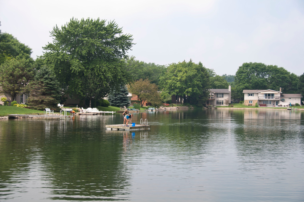
View from Below
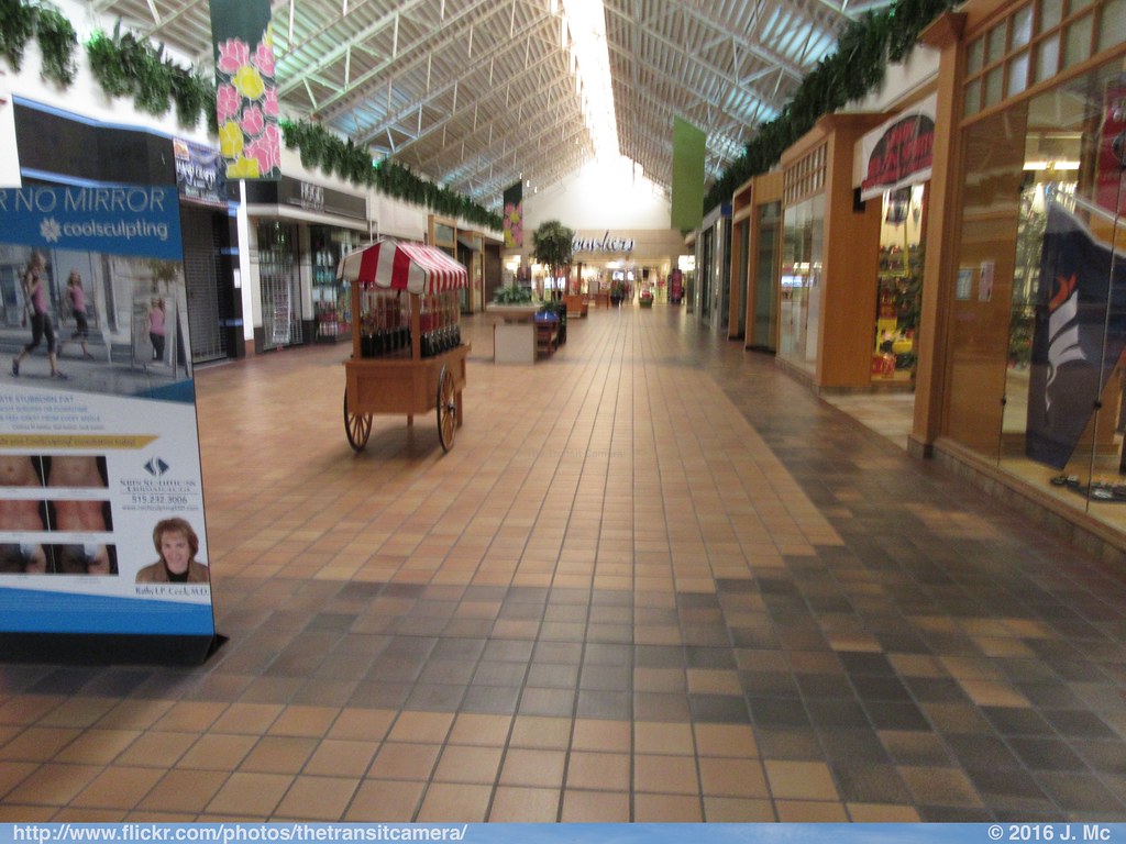
Southbridge Mall Concourse
Room with a view.

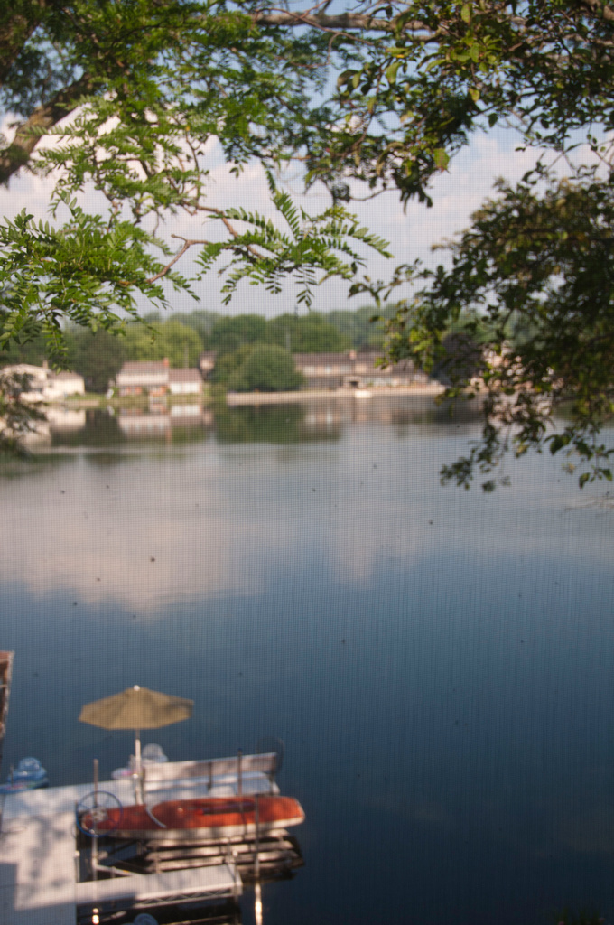
Nice view!

Upstairs sitting corner-view 2
Are we sure bad storms are coming our way? #nofilter #tornadowatch
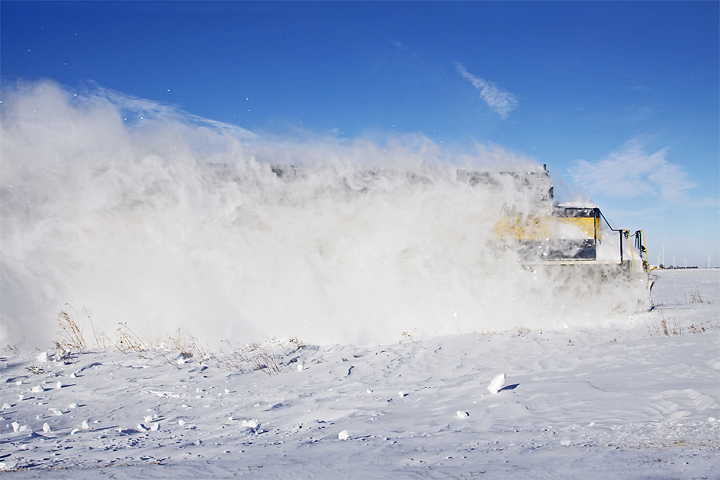
ice s 6443snow
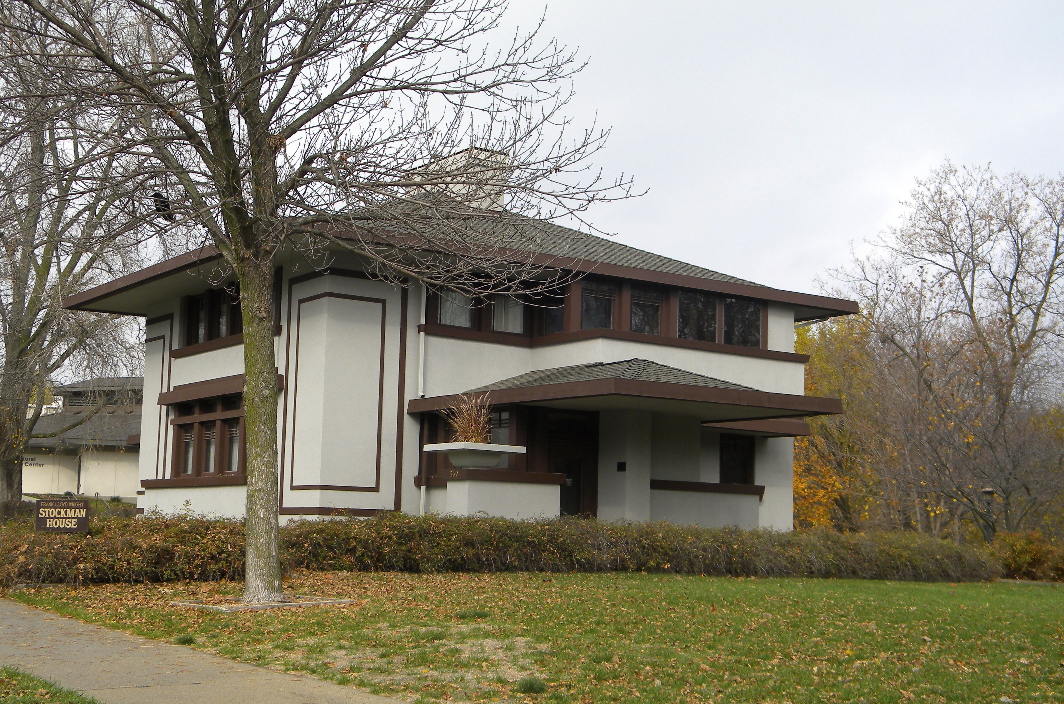
Iowa: Mason City: The Stockman House
S. of Rock Falls
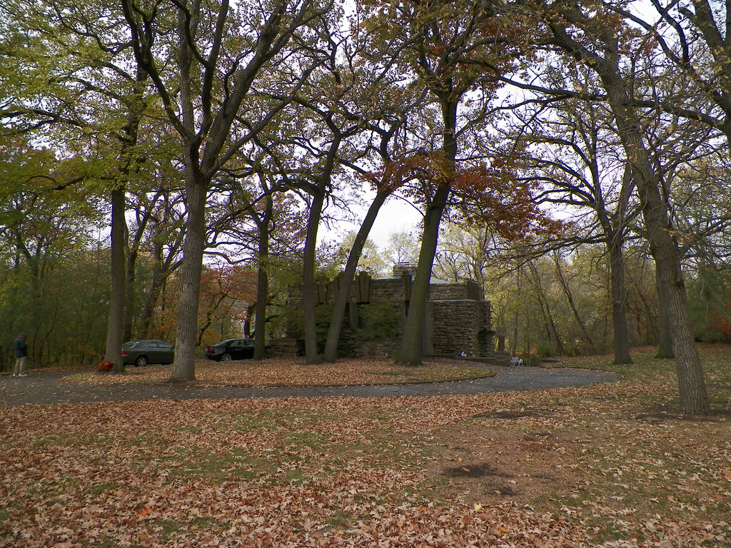
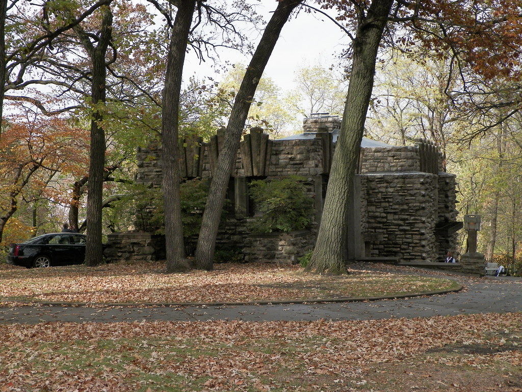
Egloff House295

(Just Slightly) out of tune
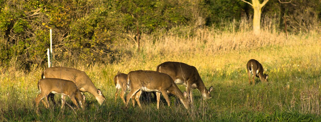
Deer and Turkeys-28

Incoming Goose Squadron
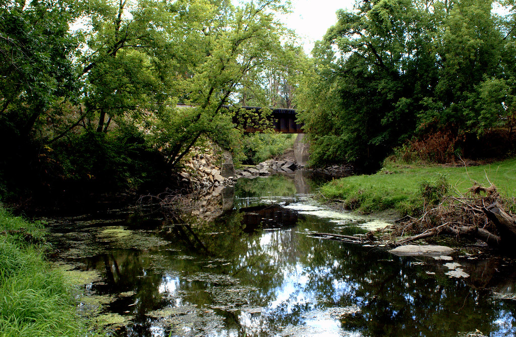
A Stream Runs Through It.

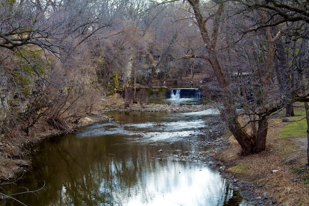
Willow Creek Waterfall

Deleware Skipper (Anatrytone logan)

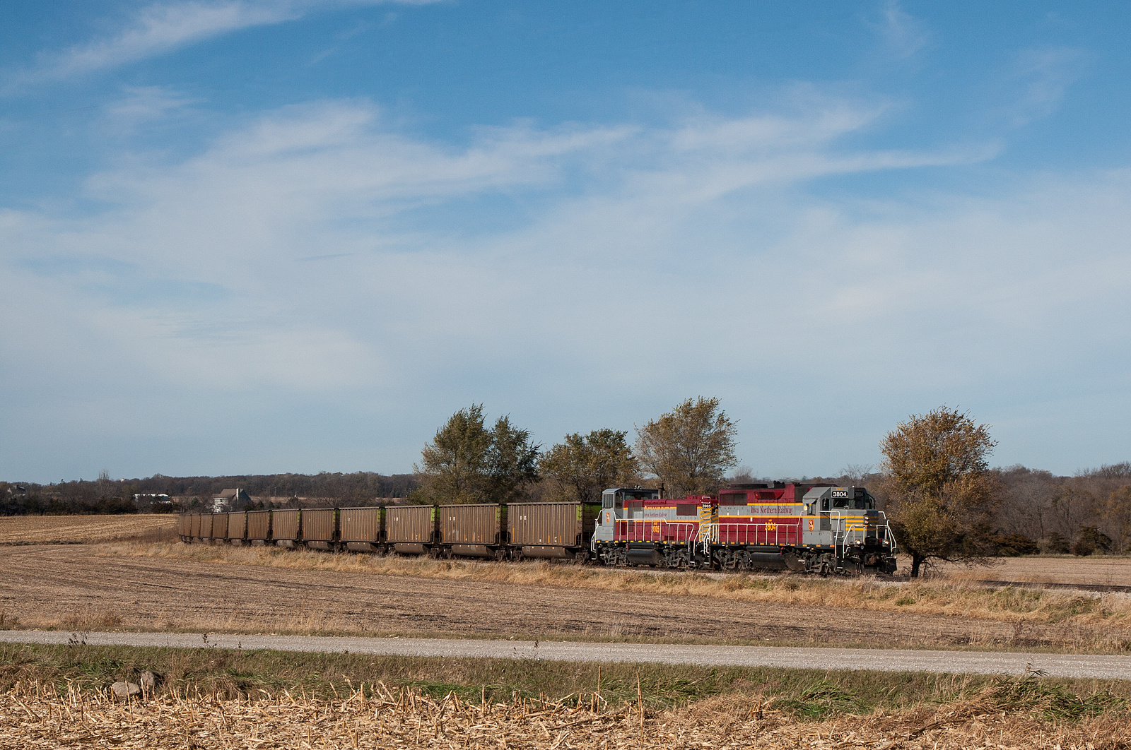
Iowa Northern Local
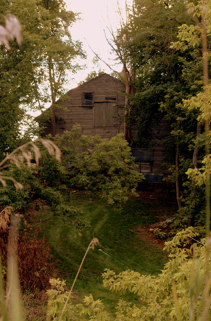
A Hidden Treasure
River in backyards, Rock Glen

Aphrodite Fritillary (Speyeria aphrodite)

Black Dash (Euphyes conspicua)
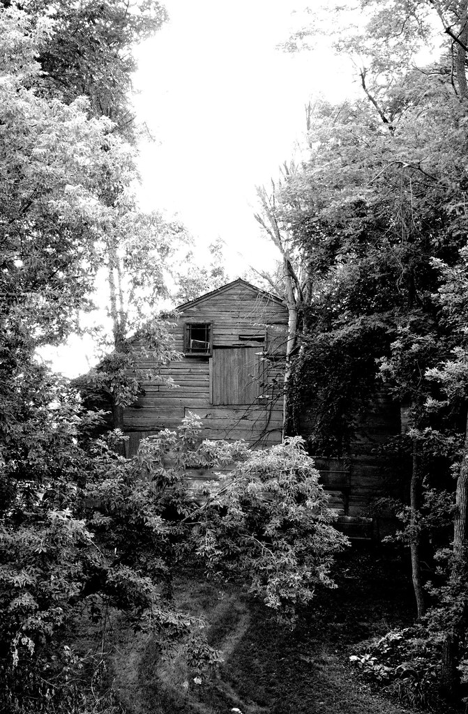
Diamond in the Rough
Girls far out on a deck
Joshua Melson House (1912)
Joshua Melson House (1912)
Topographic Map of Falls, IA, USA
Find elevation by address:

Places in Falls, IA, USA:
Places near Falls, IA, USA:
Warbler Ave, Plymouth, IA, USA
5 Mill St, Rock Falls, IA, USA
Rock Falls
Plymouth
Main St, Plymouth, IA, USA
Union
Grafton
3rd St, Grafton, IA, USA
Main St, Mason City, IA, USA
23-25
Nora Springs
Mystic Lanes
Portland
Lime Creek
th St, Mason City, IA, USA
E Main St, Manly, IA, USA
Rock Grove
112 N Pennsylvania Ave
Mason City
Cerro Gordo County
Recent Searches:
- Elevation of Rojo Ct, Atascadero, CA, USA
- Elevation of Flagstaff Drive, Flagstaff Dr, North Carolina, USA
- Elevation of Avery Ln, Lakeland, FL, USA
- Elevation of Woolwine, VA, USA
- Elevation of Lumagwas Diversified Farmers Multi-Purpose Cooperative, Lumagwas, Adtuyon, RV32+MH7, Pangantucan, Bukidnon, Philippines
- Elevation of Homestead Ridge, New Braunfels, TX, USA
- Elevation of Orchard Road, Orchard Rd, Marlborough, NY, USA
- Elevation of 12 Hutchinson Woods Dr, Fletcher, NC, USA
- Elevation of Holloway Ave, San Francisco, CA, USA
- Elevation of Norfolk, NY, USA