Elevation of Nora Springs, IA, USA
Location: United States > Iowa > Floyd County > Rock Grove >
Longitude: -93.004366
Latitude: 43.1427466
Elevation: 331m / 1086feet
Barometric Pressure: 97KPa
Elevation Map:
Satellite Map:
Related Photos:

View from Below
Room with a view.

Nice view!

Upstairs sitting corner-view 2
Southbridge Mall Concourse
Rudd, Aug 29, 2008
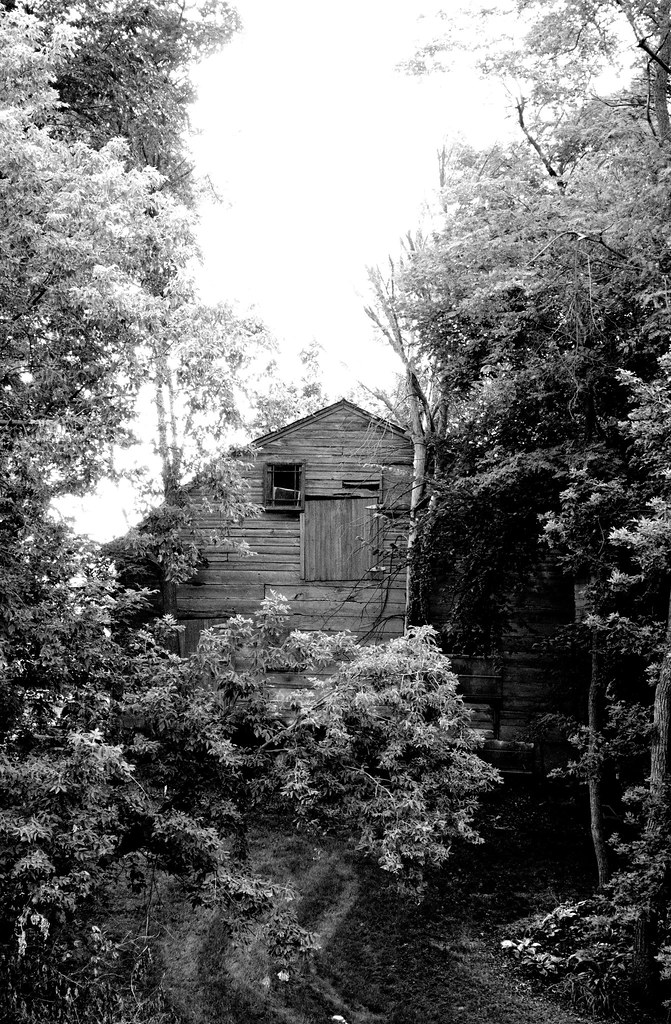
A Hidden Treasure
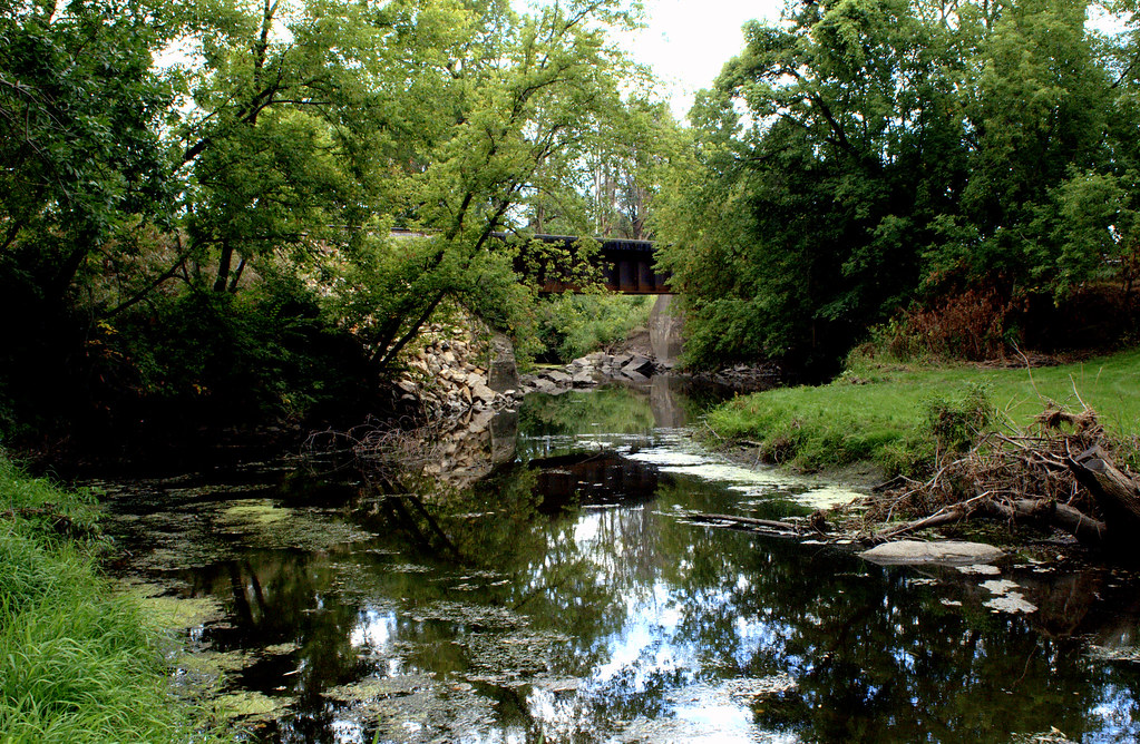
River in backyards, Rock Glen

Aphrodite Fritillary (Speyeria aphrodite)

shape of hawkeye symbol in clouds

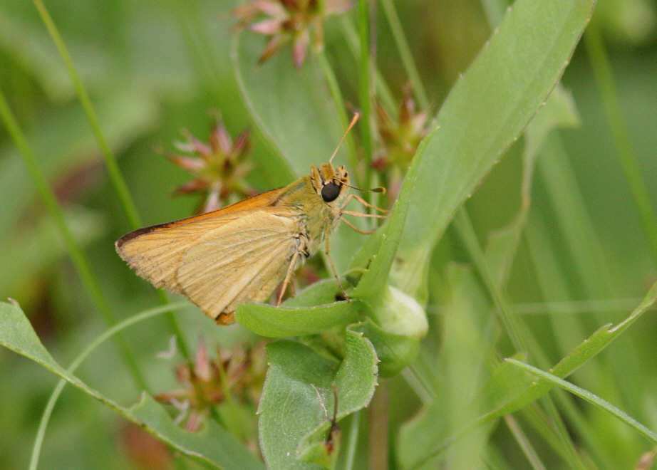
Black Dash (Euphyes conspicua)
Diamond in the Rough
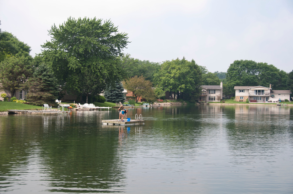
Girls far out on a deck

ianr 451north
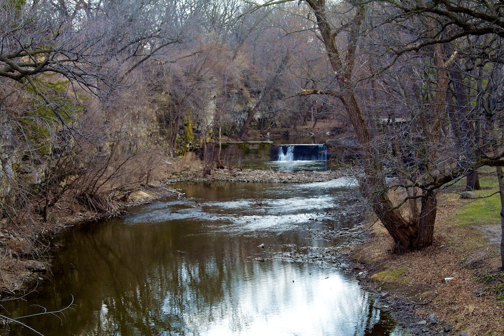
A Stream Runs Through It.
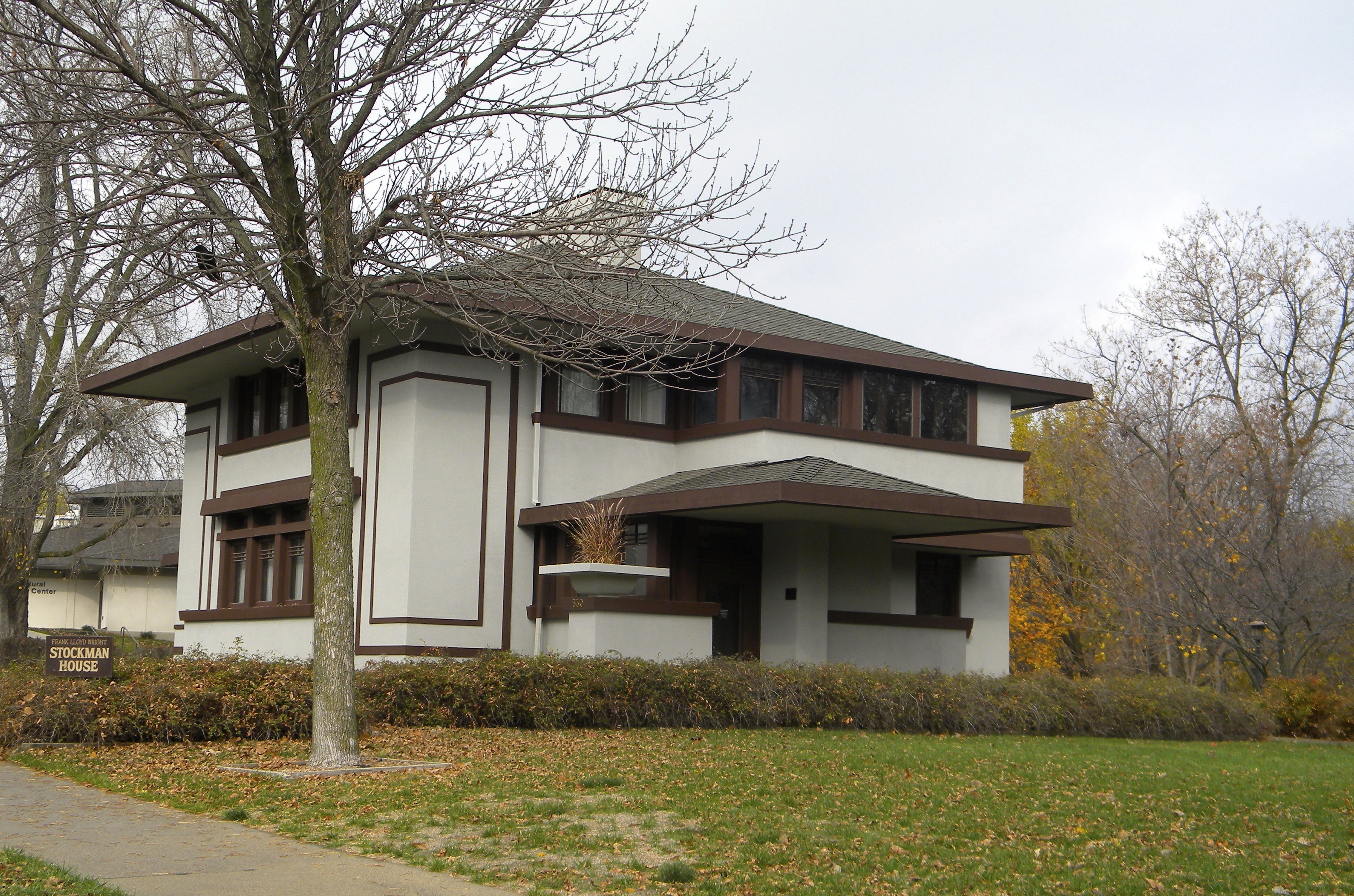
Iowa: Mason City: The Stockman House
Deleware Skipper (Anatrytone logan)

shape of hawkeye symbol in clouds
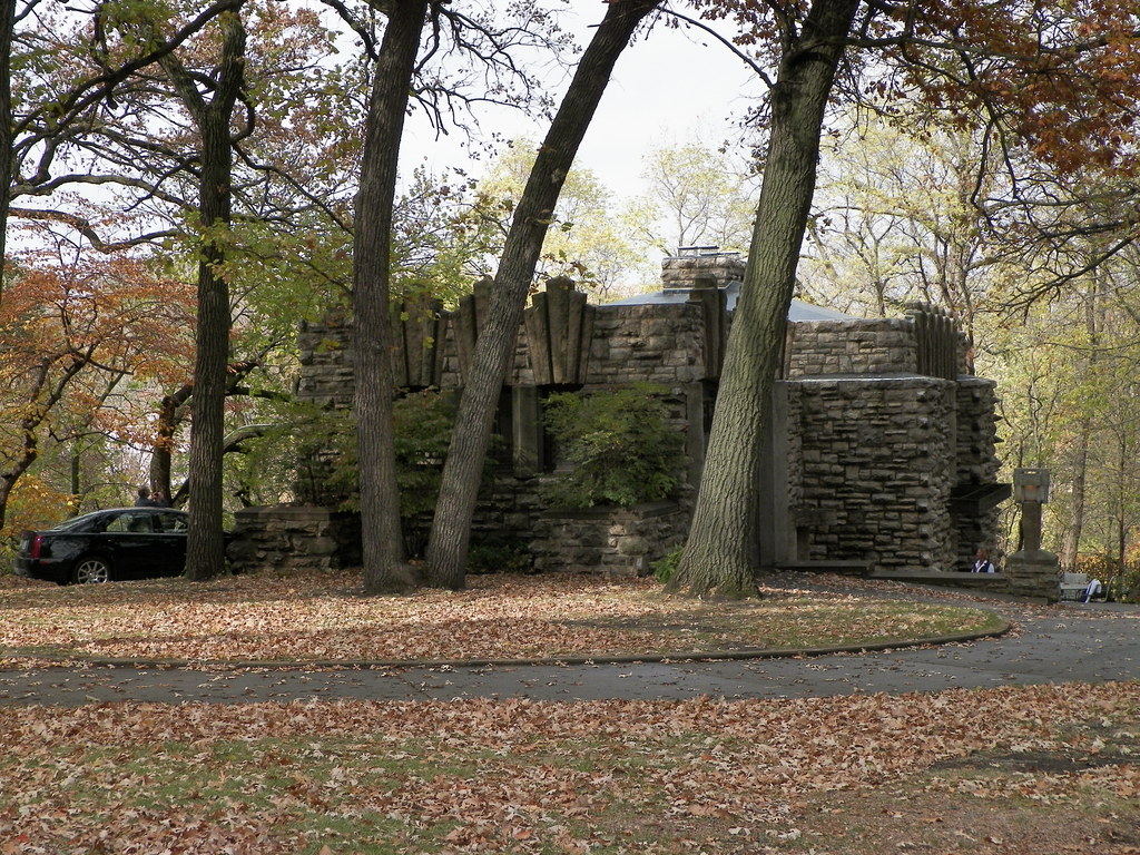
Joshua Melson House (1912)
Phone 2011-03-19 154934 Fossil and Prairie Park Rockford Iowa
Joshua Melson House (1912)
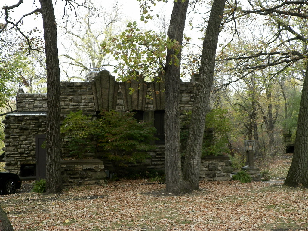
Joshua Melson House (1912)
S. of Rock Falls

(Just Slightly) out of tune
Deer and Turkeys-28
Topographic Map of Nora Springs, IA, USA
Find elevation by address:

Places in Nora Springs, IA, USA:
Places near Nora Springs, IA, USA:
23-25
Rock Grove
Portland
Rockford
Fossil & Prairie Center
209 4th St Nw
5 Mill St, Rock Falls, IA, USA
Rock Falls
Rockford
W Main Ave, Rockford, IA, USA
Warbler Ave, Plymouth, IA, USA
Falls
Main St, Mason City, IA, USA
Owen
Spruce Ave, Mason City, IA, USA
Mystic Lanes
Plymouth
Main St, Plymouth, IA, USA
Floyd County
Mason
Recent Searches:
- Elevation of 30 Oak Lawn Dr, Barkhamsted, CT, USA
- Elevation of Luther Road, Luther Rd, Auburn, CA, USA
- Elevation of Unnamed Road, Respublika Severnaya Osetiya — Alaniya, Russia
- Elevation of Verkhny Fiagdon, North Ossetia–Alania Republic, Russia
- Elevation of F. Viola Hiway, San Rafael, Bulacan, Philippines
- Elevation of Herbage Dr, Gulfport, MS, USA
- Elevation of Lilac Cir, Haldimand, ON N3W 2G9, Canada
- Elevation of Harrod Branch Road, Harrod Branch Rd, Kentucky, USA
- Elevation of Wyndham Grand Barbados Sam Lords Castle All Inclusive Resort, End of Belair Road, Long Bay, Bridgetown Barbados
- Elevation of Iga Trl, Maggie Valley, NC, USA