Elevation of Union County, IA, USA
Location: United States > Iowa >
Longitude: -94.274362
Latitude: 41.0006855
Elevation: 394m / 1293feet
Barometric Pressure: 97KPa
Elevation Map:
Satellite Map:
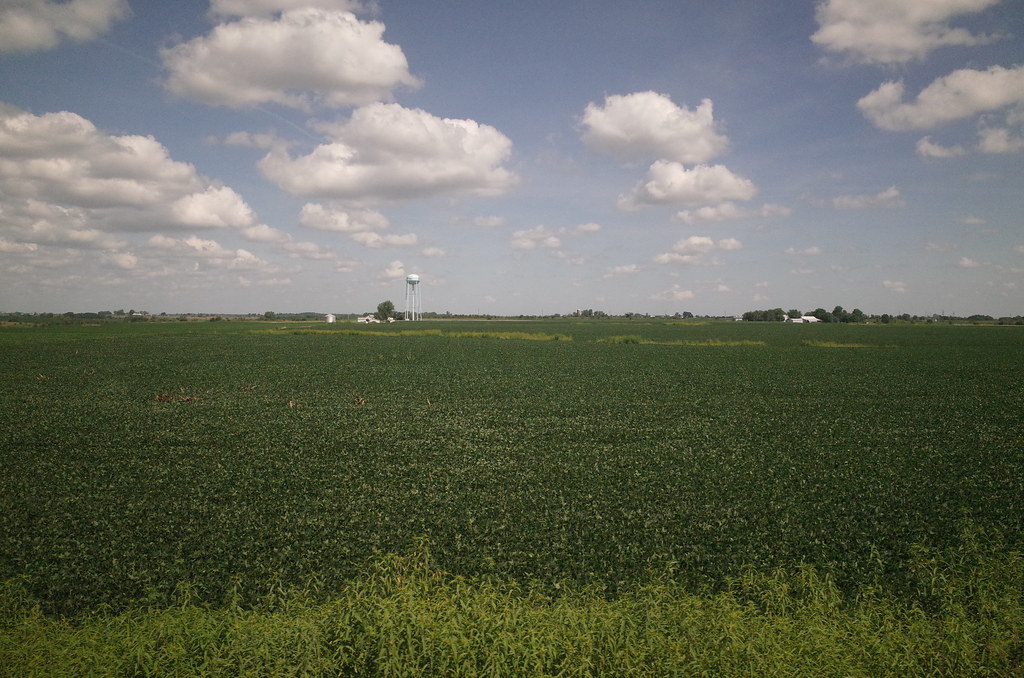
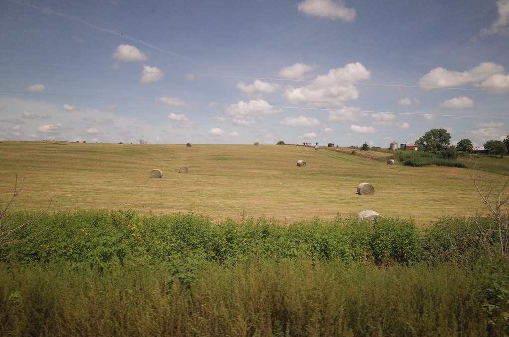
Related Photos:

Iowana Hotel - Creston, Iowa
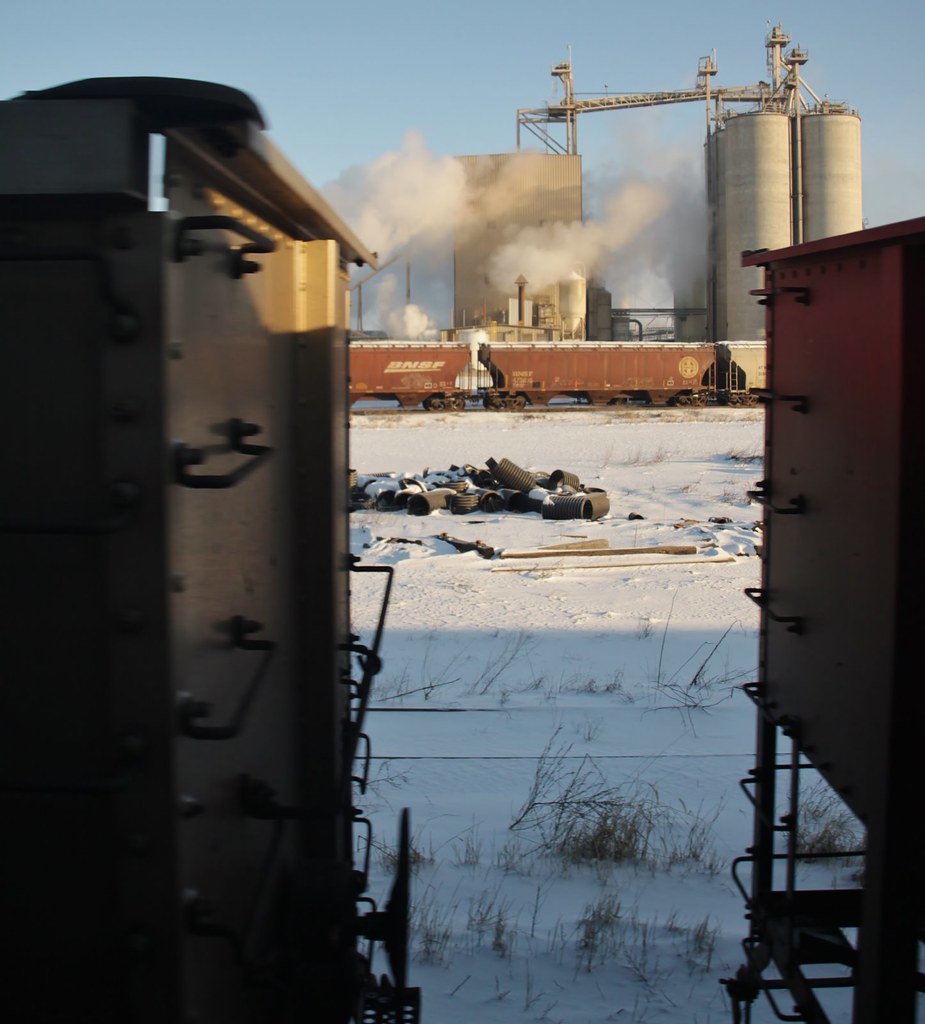
Trains from the train - a little more window music (2)
BNSF 6413 - Creston, IA
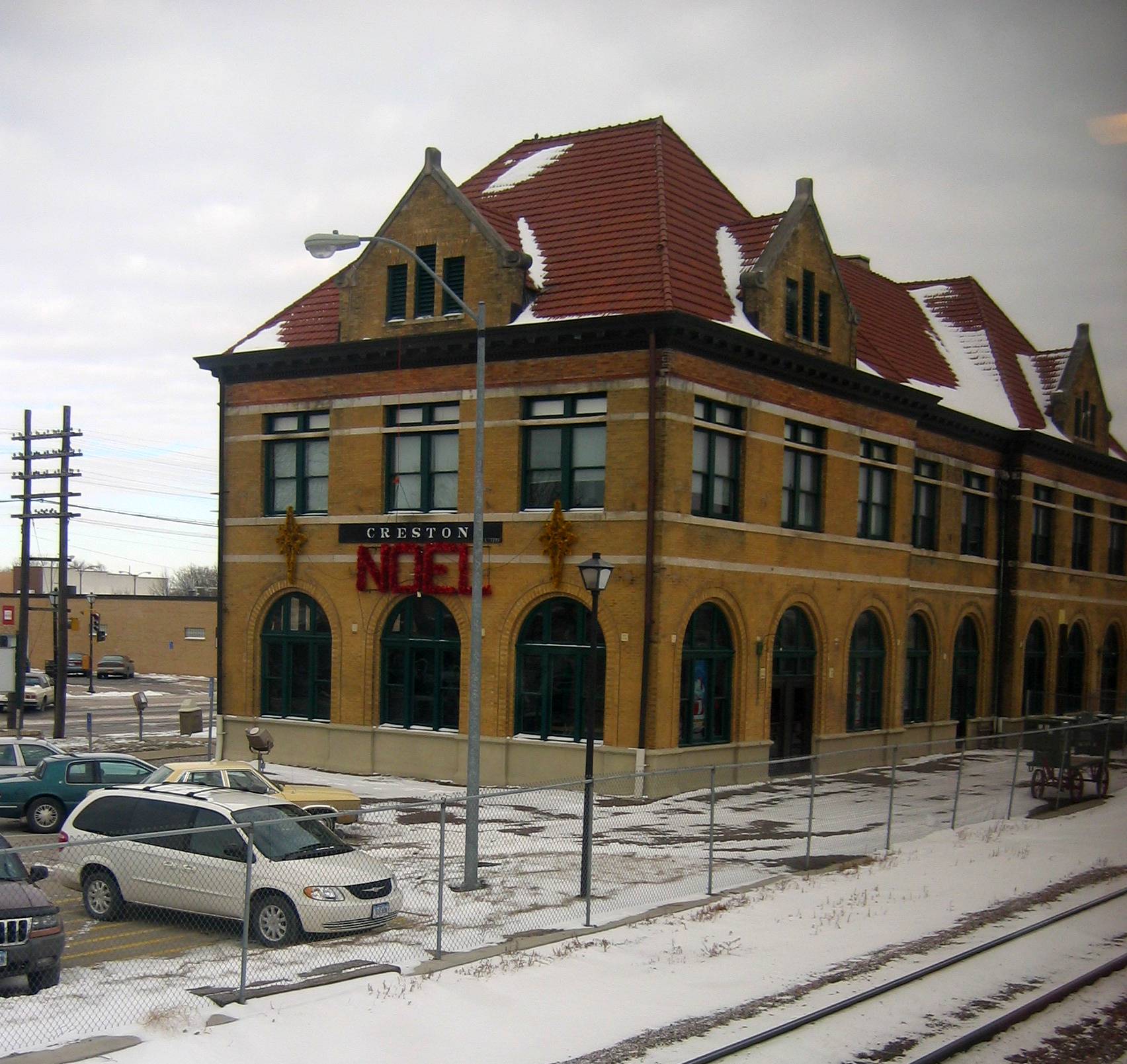
Iowa: Creston: Chicago Burlington & Quincy

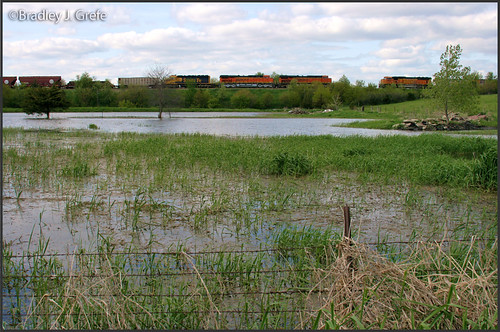
BNSF 7820 - Talmage, IA
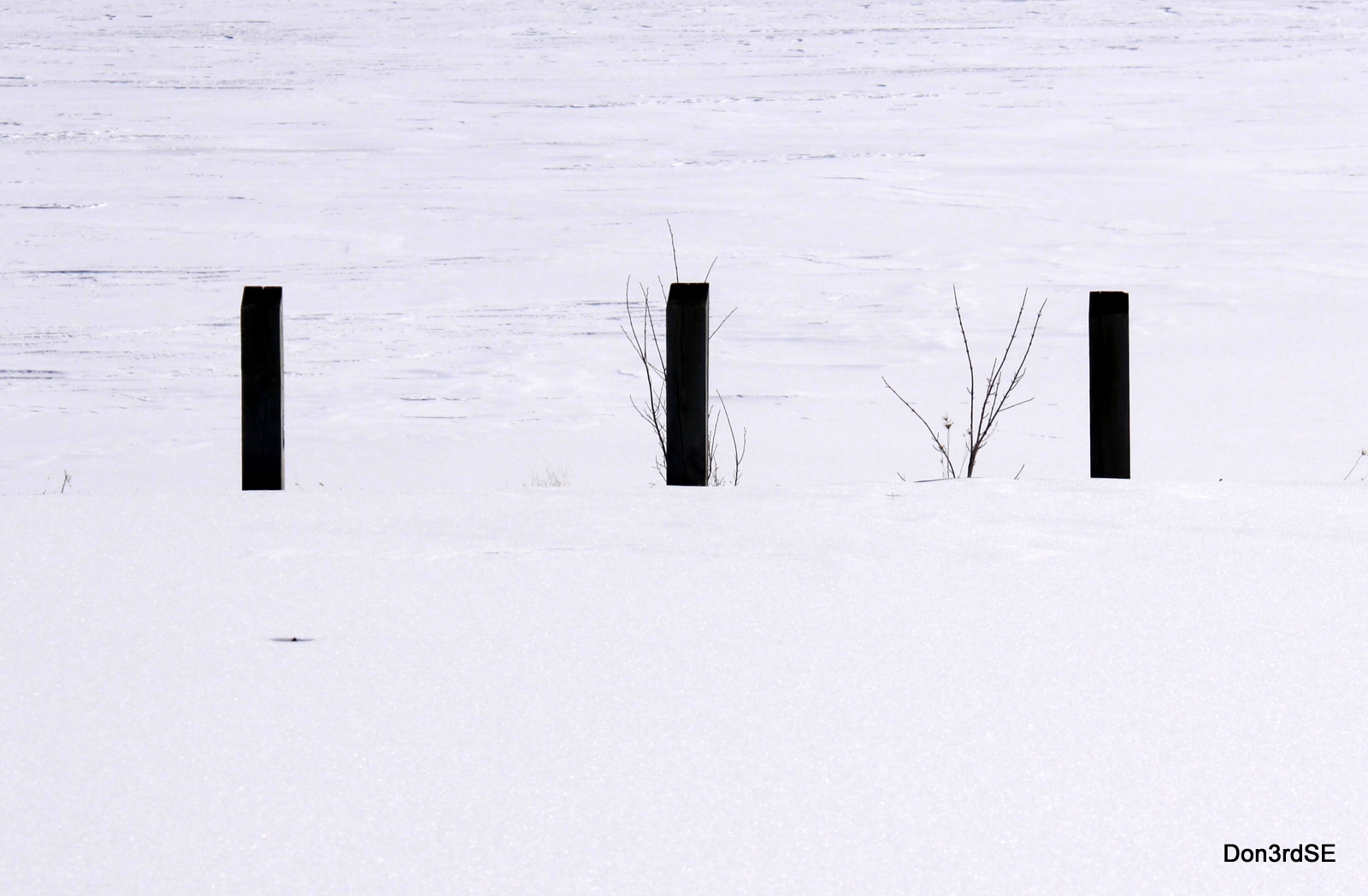
Three Posts

Photo-0036.jpg

Photo-0034.jpg

Photo-0033.jpg
RI038152.JPG
RI038153.JPG
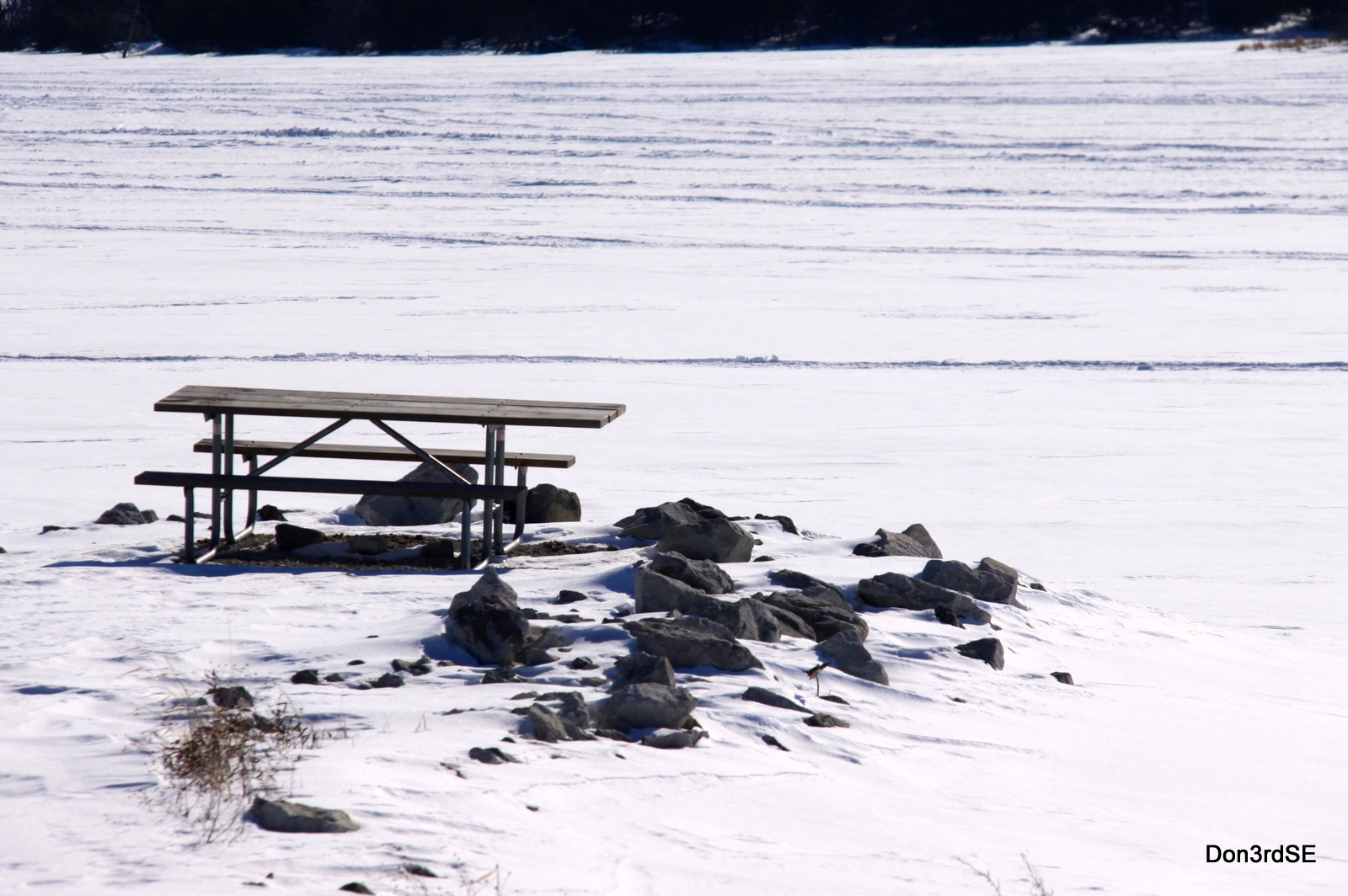
Picnic Point
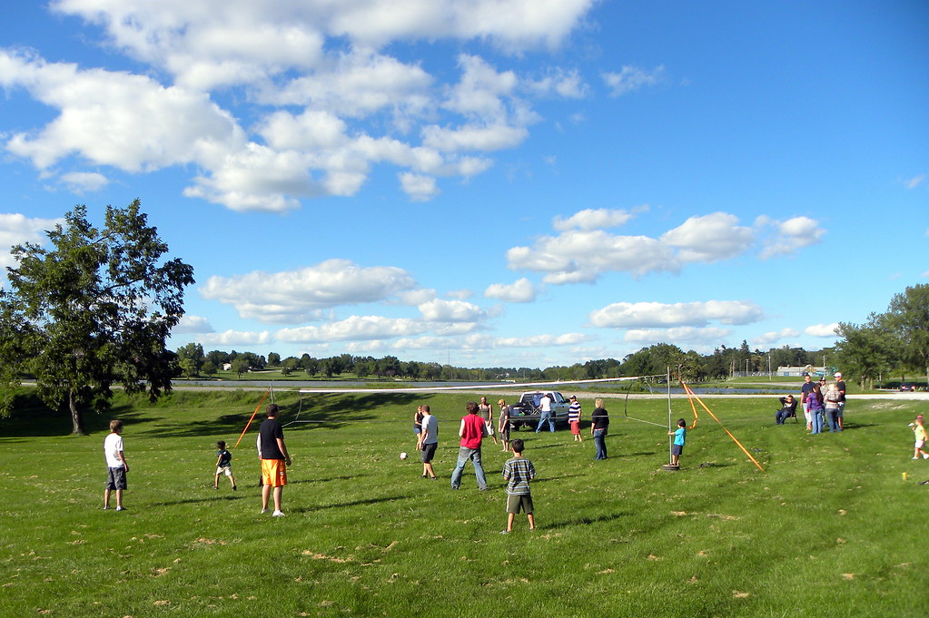
A&G Summer Party

A&G Summer Party
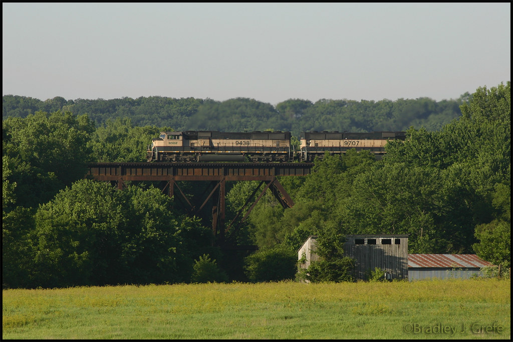
BNSF 9439 - Talmage Bridge
Topographic Map of Union County, IA, USA
Find elevation by address:

Places in Union County, IA, USA:
Places near Union County, IA, USA:
1815 240th St
Grant
2632 Iris Ave
Creston
701 N Birch St
701 N Birch St
1678 270th St
720 N Oak St
720 N Oak St
720 N Oak St
New York Ave, Creston, IA, USA
1200 W Adams St
1391 190th St
Monroe Avenue Ext'd
Broadway St, Diagonal, IA, USA
Ringgold County
IA-25, Clearfield, IA, USA
Platte
205 S Main St
W Ohio St, Lenox, IA, USA
Recent Searches:
- Elevation of Corso Fratelli Cairoli, 35, Macerata MC, Italy
- Elevation of Tallevast Rd, Sarasota, FL, USA
- Elevation of 4th St E, Sonoma, CA, USA
- Elevation of Black Hollow Rd, Pennsdale, PA, USA
- Elevation of Oakland Ave, Williamsport, PA, USA
- Elevation of Pedrógão Grande, Portugal
- Elevation of Klee Dr, Martinsburg, WV, USA
- Elevation of Via Roma, Pieranica CR, Italy
- Elevation of Tavkvetili Mountain, Georgia
- Elevation of Hartfords Bluff Cir, Mt Pleasant, SC, USA