Elevation of th St, Creston, IA, USA
Location: United States > Iowa > Union County > Creston >
Longitude: -94.398188
Latitude: 41.0285705
Elevation: 394m / 1293feet
Barometric Pressure: 97KPa
Elevation Map:
Satellite Map:
Related Photos:

Iowana Hotel - Creston, Iowa
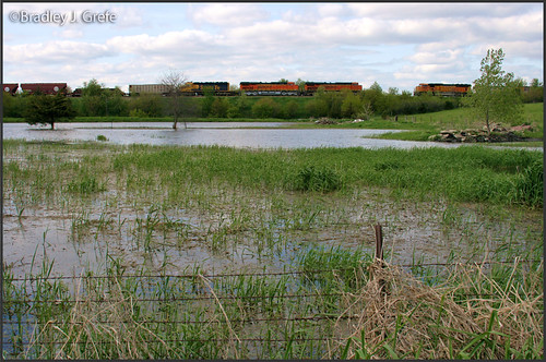
BNSF 6413 - Creston, IA

deer, landscape
landscape, where the deer died
RI038153.JPG
RI038152.JPG

Photo-0034.jpg

Photo-0033.jpg
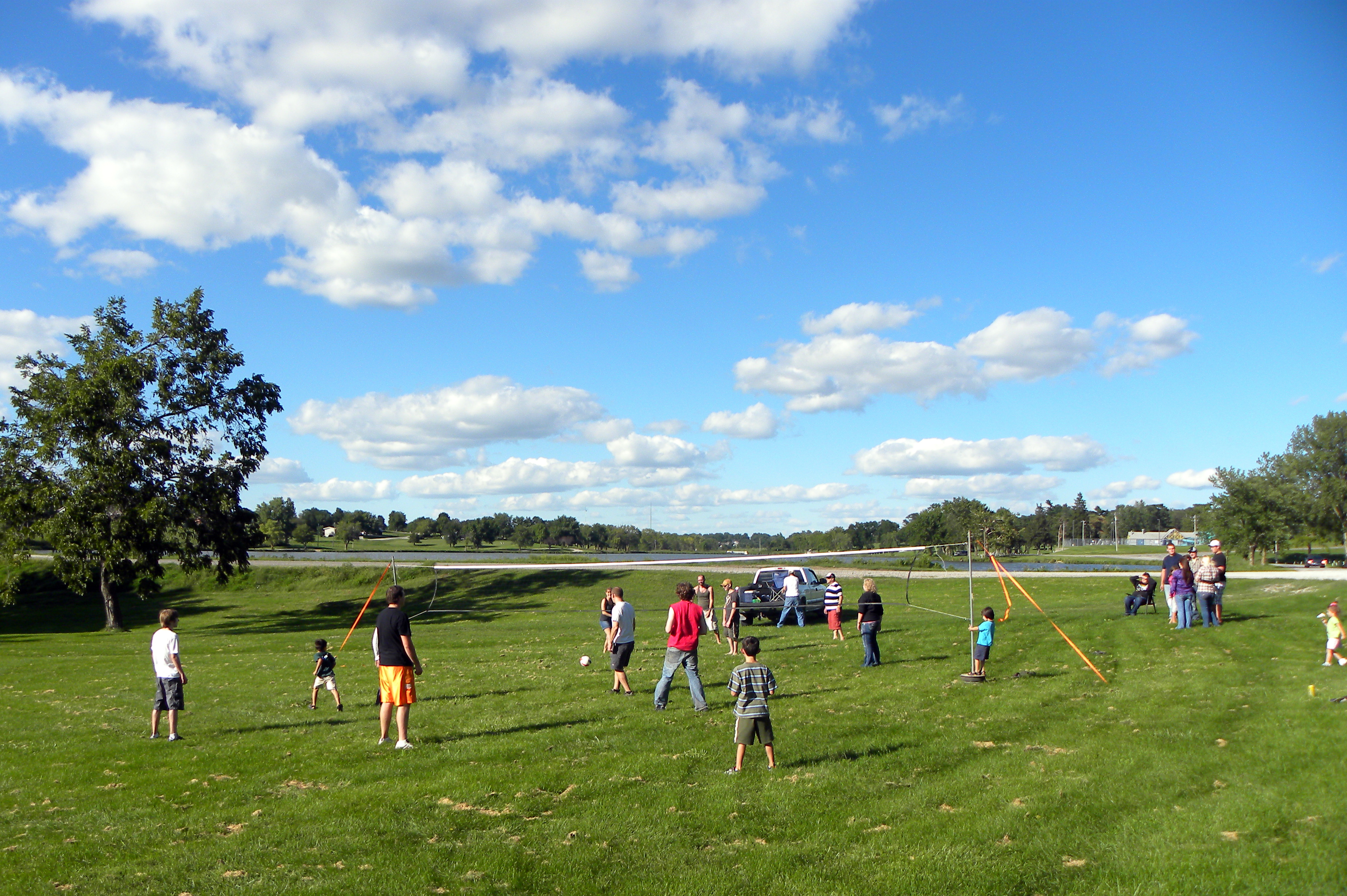
A&G Summer Party
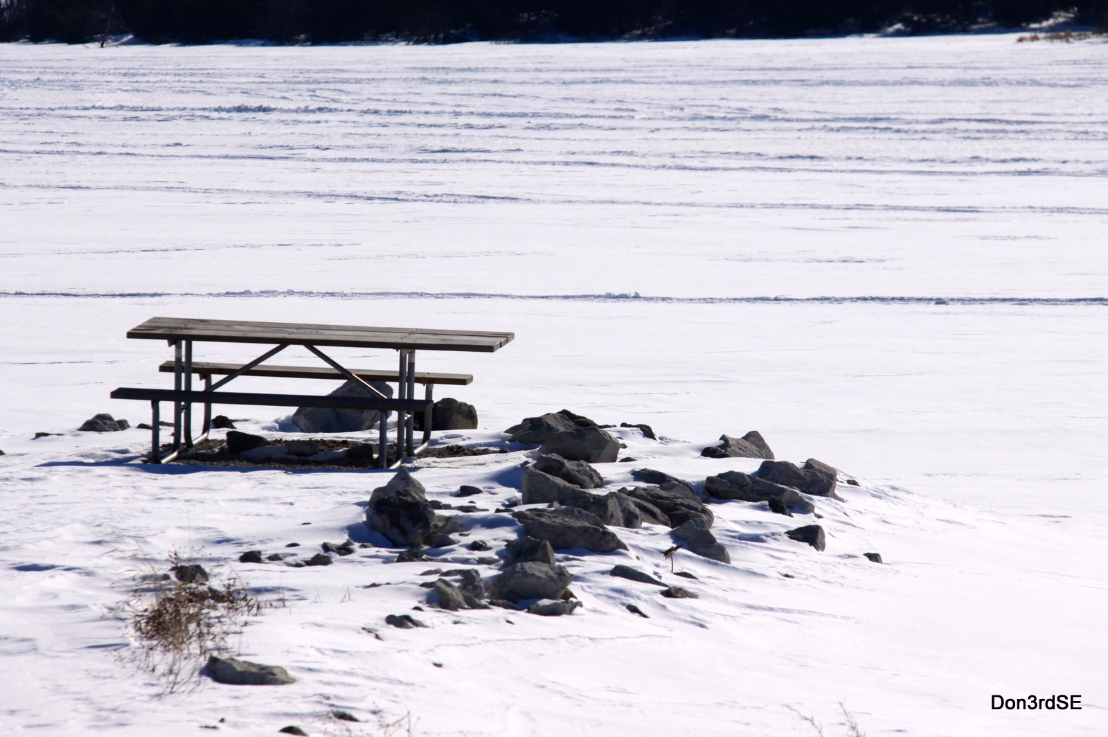
Picnic Point

A&G Summer Party
Topographic Map of th St, Creston, IA, USA
Find elevation by address:

Places near th St, Creston, IA, USA:
New York Ave, Creston, IA, USA
1200 W Adams St
Creston
720 N Oak St
720 N Oak St
720 N Oak St
701 N Birch St
701 N Birch St
Monroe Avenue Ext'd
1815 240th St
Union County
1678 270th St
2632 Iris Ave
Grant
205 S Main St
W Ohio St, Lenox, IA, USA
Lenox
Broadway St, Diagonal, IA, USA
Platte
IA-25, Clearfield, IA, USA
Recent Searches:
- Elevation of Leyte Industrial Development Estate, Isabel, Leyte, Philippines
- Elevation of W Granada St, Tampa, FL, USA
- Elevation of Pykes Down, Ivybridge PL21 0BY, UK
- Elevation of Jalan Senandin, Lutong, Miri, Sarawak, Malaysia
- Elevation of Bilohirs'k
- Elevation of 30 Oak Lawn Dr, Barkhamsted, CT, USA
- Elevation of Luther Road, Luther Rd, Auburn, CA, USA
- Elevation of Unnamed Road, Respublika Severnaya Osetiya — Alaniya, Russia
- Elevation of Verkhny Fiagdon, North Ossetia–Alania Republic, Russia
- Elevation of F. Viola Hiway, San Rafael, Bulacan, Philippines