Elevation of Ringgold County, IA, USA
Location: United States > Iowa >
Longitude: -94.315422
Latitude: 40.7973811
Elevation: 370m / 1214feet
Barometric Pressure: 97KPa
Elevation Map:
Satellite Map:
Related Photos:
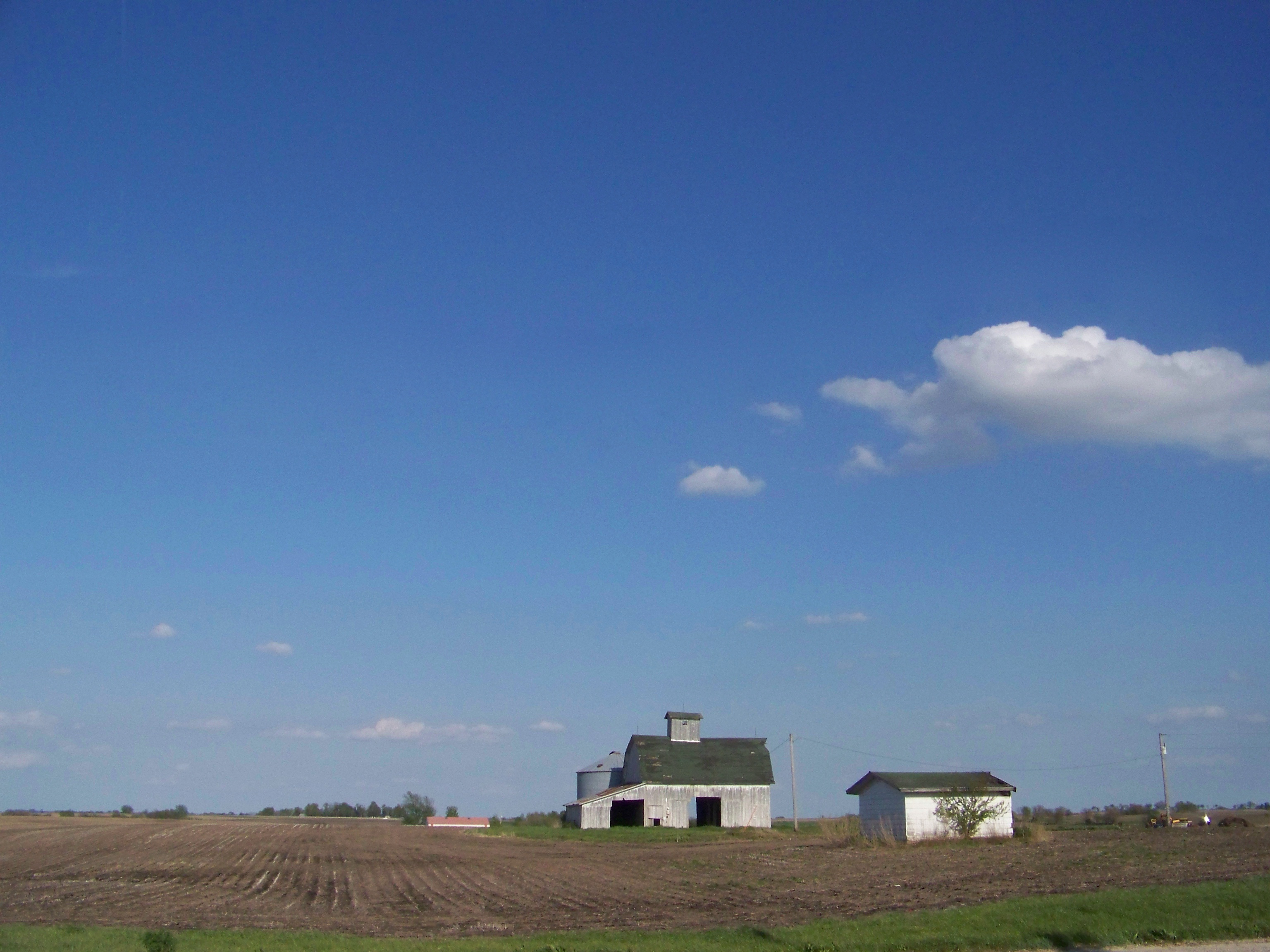
Iowa Sky

Ringgold County Courthouse (Mount Ayr, Iowa)

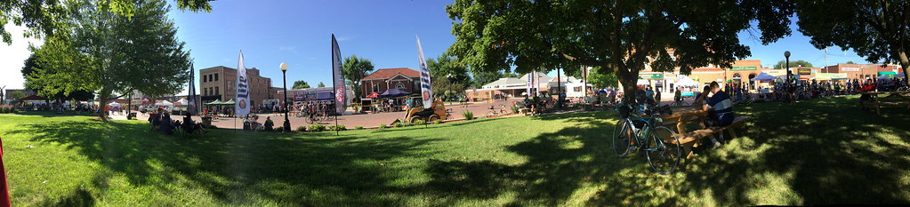
RAGBRAI 2016

RAGBRAI 2016

RAGBRAI 2016

RAGBRAI 2016
RAGBRAI 2016

RAGBRAI 2016

RAGBRAI 2016

RAGBRAI 2016

RAGBRAI 2016

Mount Ayrshire Iowa on Ragbrai 2016
IMG_4120.JPG
IMG_4119.JPG

Beautiful day at the "peak." 1200 ft elevation. #cycling #mtayr #ragbrai #iowa
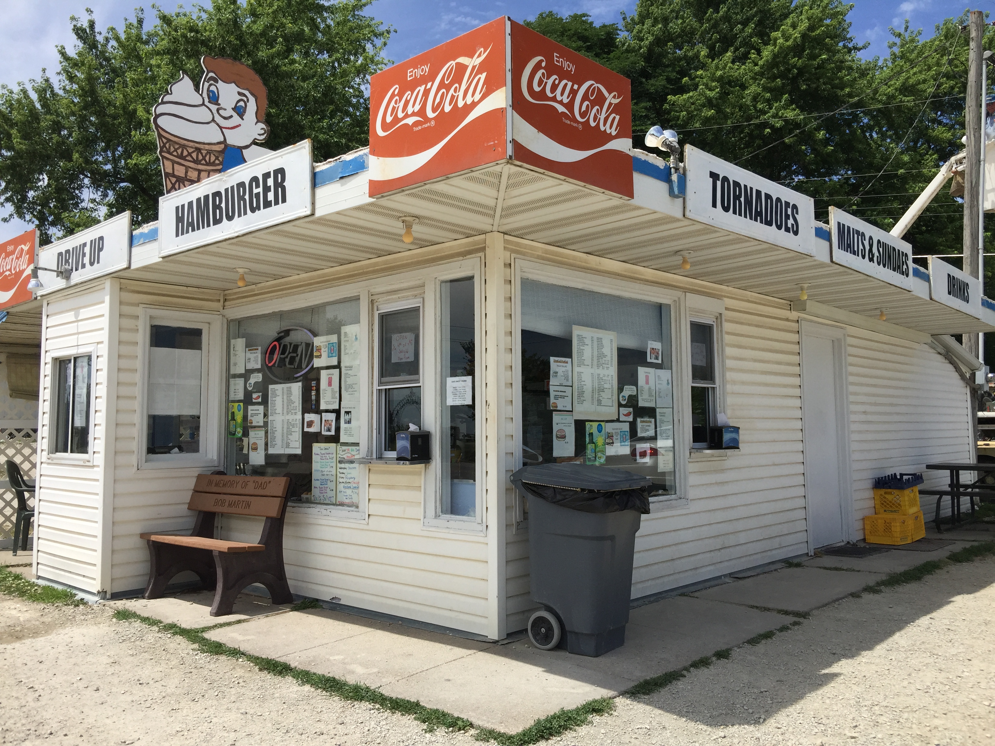
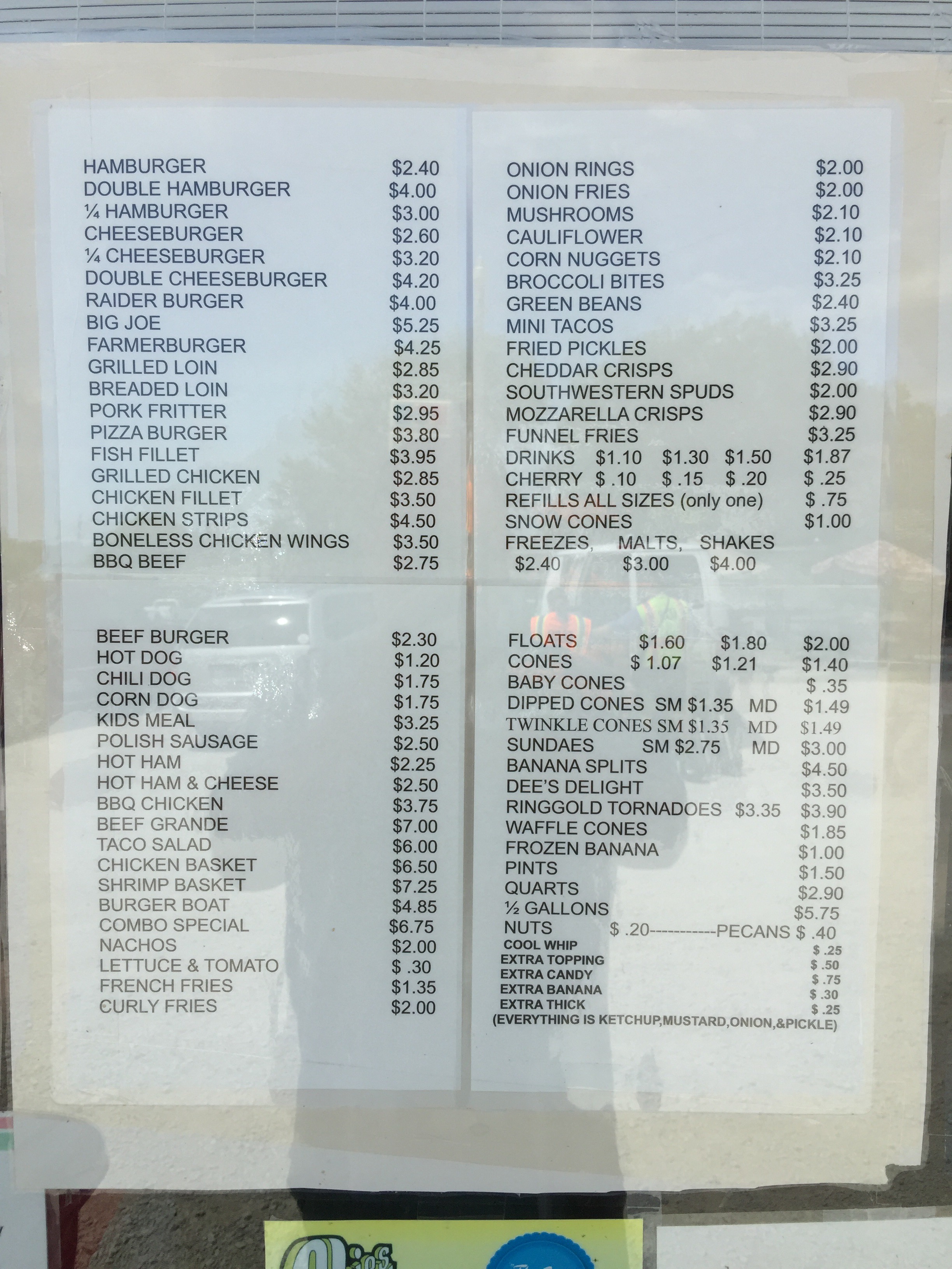
fill 'er up?
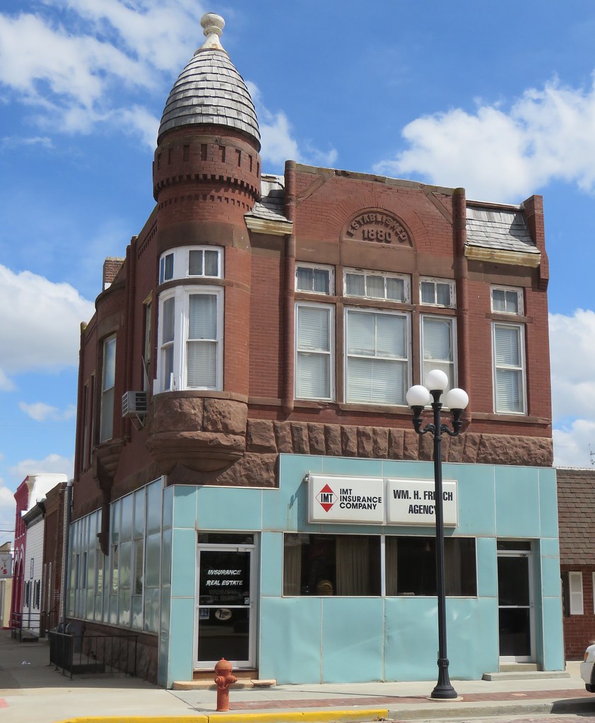
Old Corner Building (Mount Ayr, Iowa)
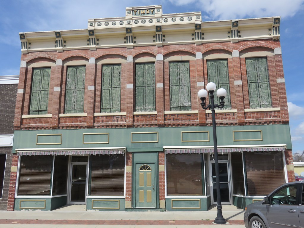
Timby Building (Mount Ayr, Iowa)
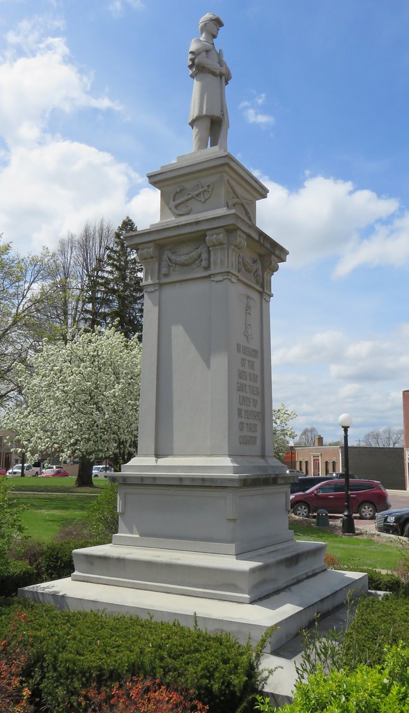
Ringgold County Civil War Monument (Mount Ayr, Iowa)
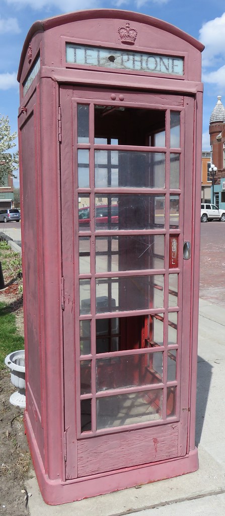
Old British Telephone Booth (Mount Ayr, Iowa)
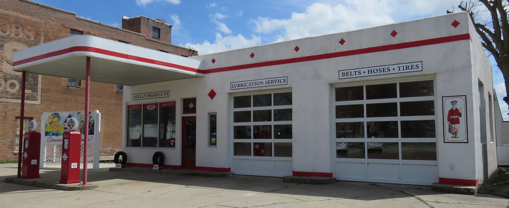
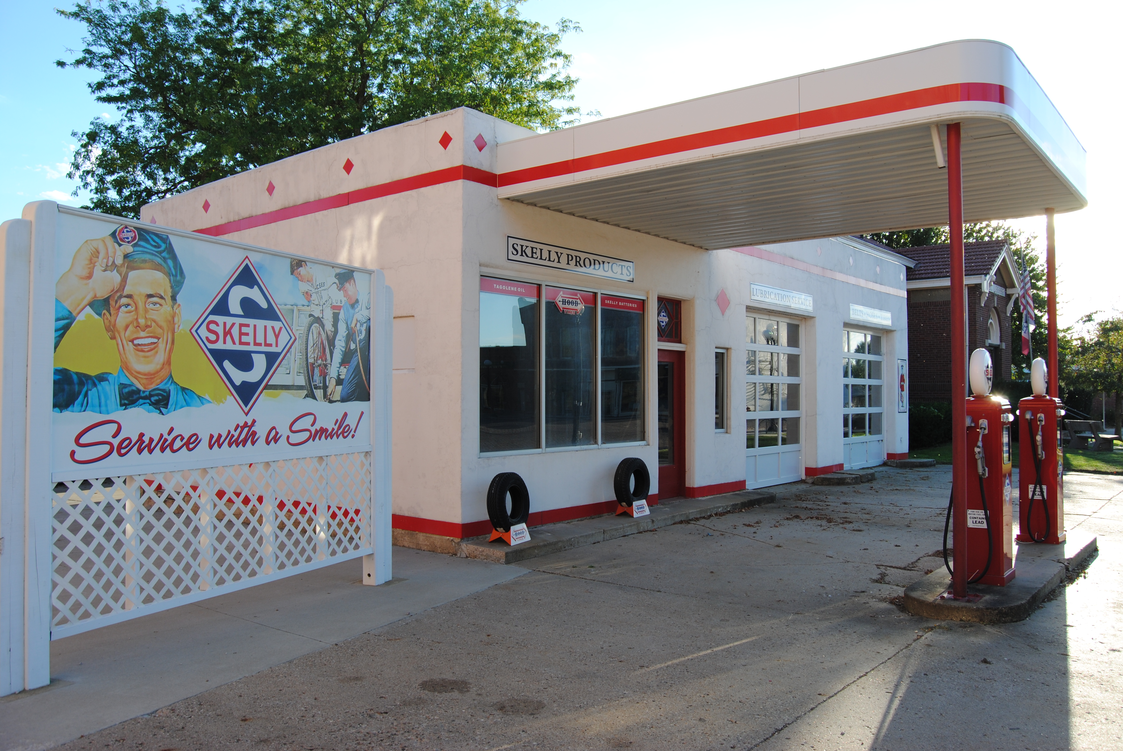
Old Skelly Service Station (Mount Ayr, Iowa)

Carnegie Library (Mount Ayr, Iowa)
Topographic Map of Ringgold County, IA, USA
Find elevation by address:

Places in Ringgold County, IA, USA:
Places near Ringgold County, IA, USA:
Broadway St, Diagonal, IA, USA
1678 270th St
2632 Iris Ave
Grant
IA-25, Clearfield, IA, USA
1815 240th St
Union County
Platte
1391 190th St
New York Ave, Creston, IA, USA
205 S Main St
W Ohio St, Lenox, IA, USA
Lenox
Creston
1200 W Adams St
701 N Birch St
701 N Birch St
720 N Oak St
720 N Oak St
720 N Oak St
Recent Searches:
- Elevation of Griffing Blvd, Biscayne Park, FL, USA
- Elevation of Kreuzburger Weg 13, Düsseldorf, Germany
- Elevation of Gateway Blvd SE, Canton, OH, USA
- Elevation of East W.T. Harris Boulevard, E W.T. Harris Blvd, Charlotte, NC, USA
- Elevation of West Sugar Creek, Charlotte, NC, USA
- Elevation of Wayland, NY, USA
- Elevation of Steadfast Ct, Daphne, AL, USA
- Elevation of Lagasgasan, X+CQH, Tiaong, Quezon, Philippines
- Elevation of Rojo Ct, Atascadero, CA, USA
- Elevation of Flagstaff Drive, Flagstaff Dr, North Carolina, USA