Elevation of Uherske Hradiste, Czech Republic
Location: Czech Republic > Zlin Region >
Longitude: 17.5951072
Latitude: 49.0355349
Elevation: 284m / 932feet
Barometric Pressure: 98KPa
Elevation Map:
Satellite Map:
Related Photos:
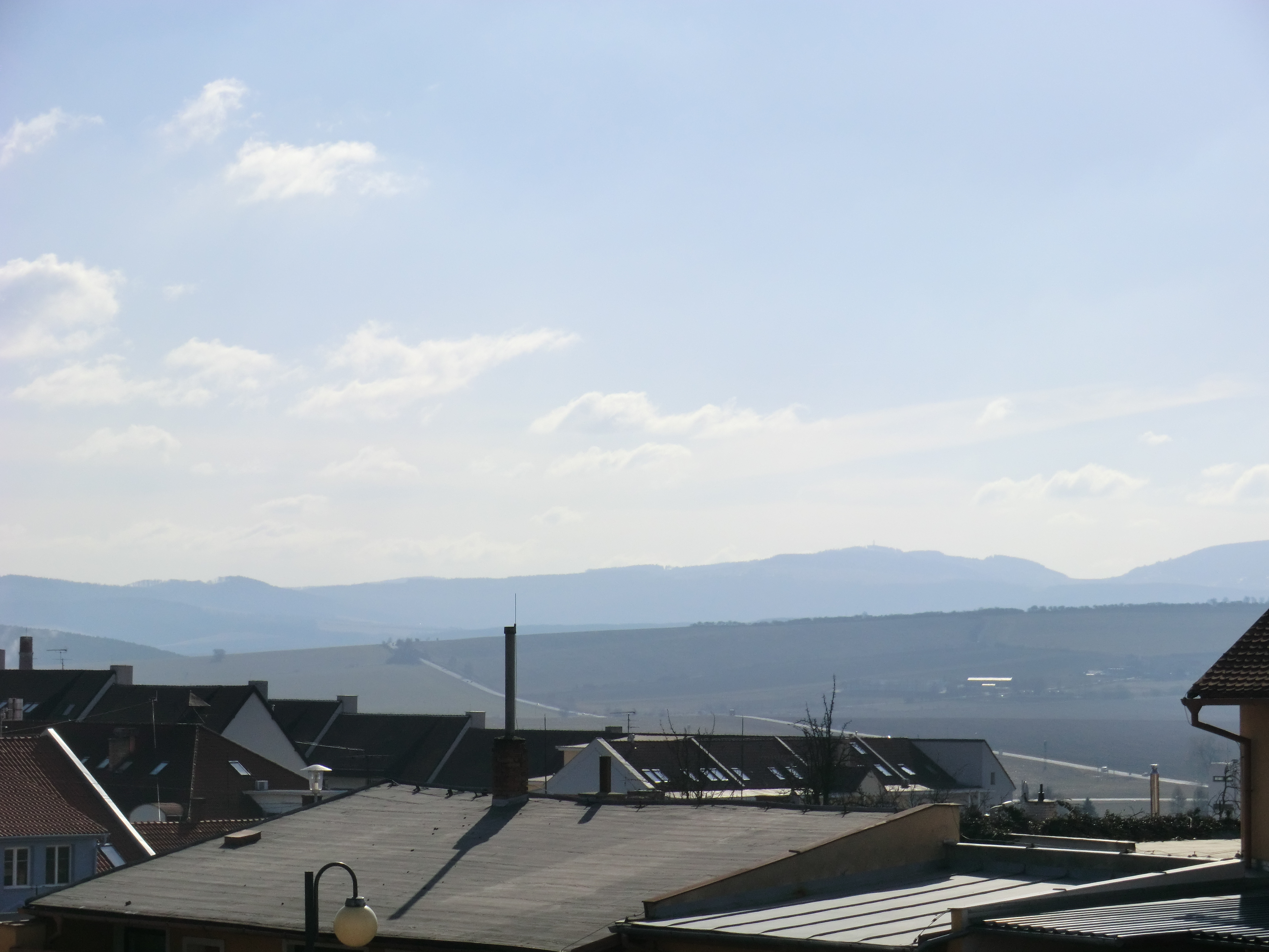
View towards Slovakia
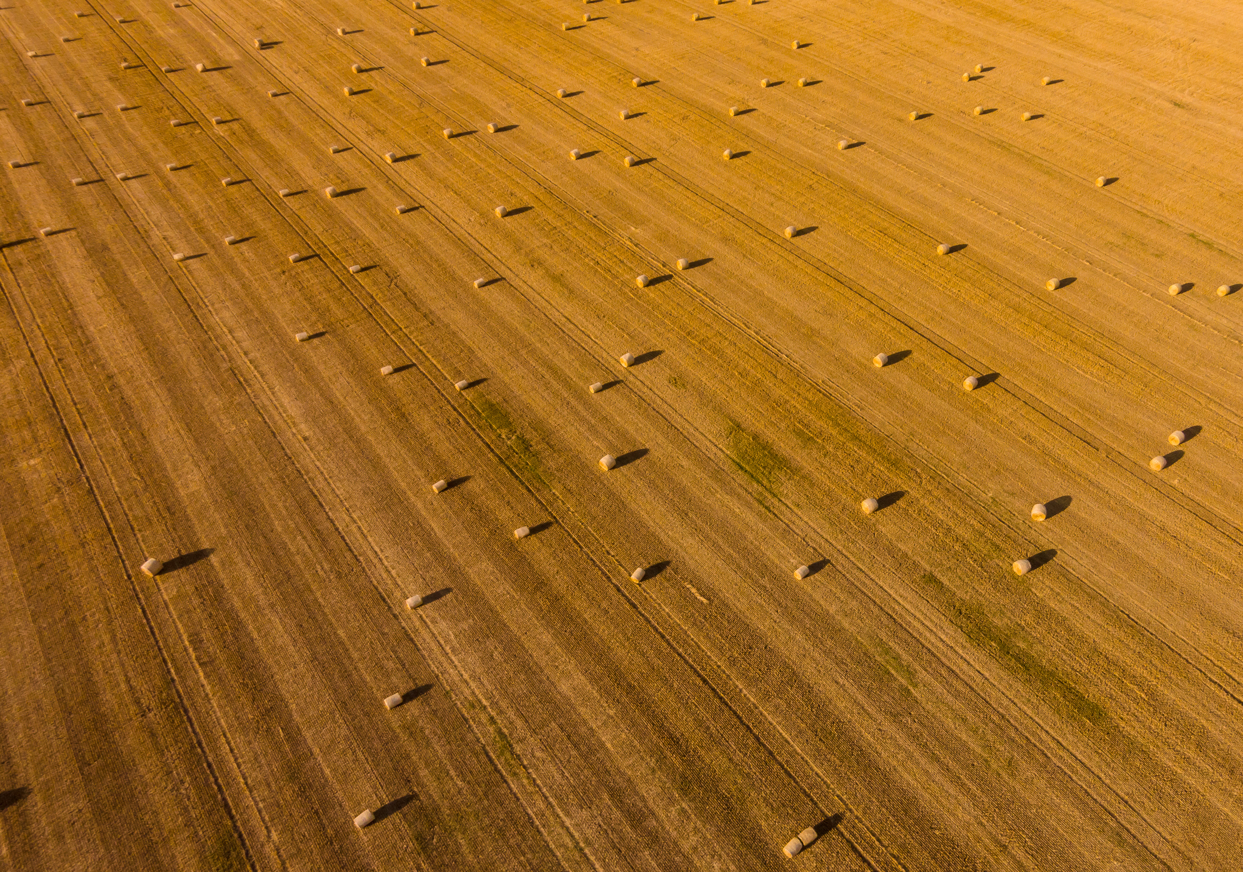
Another view on bales of straw

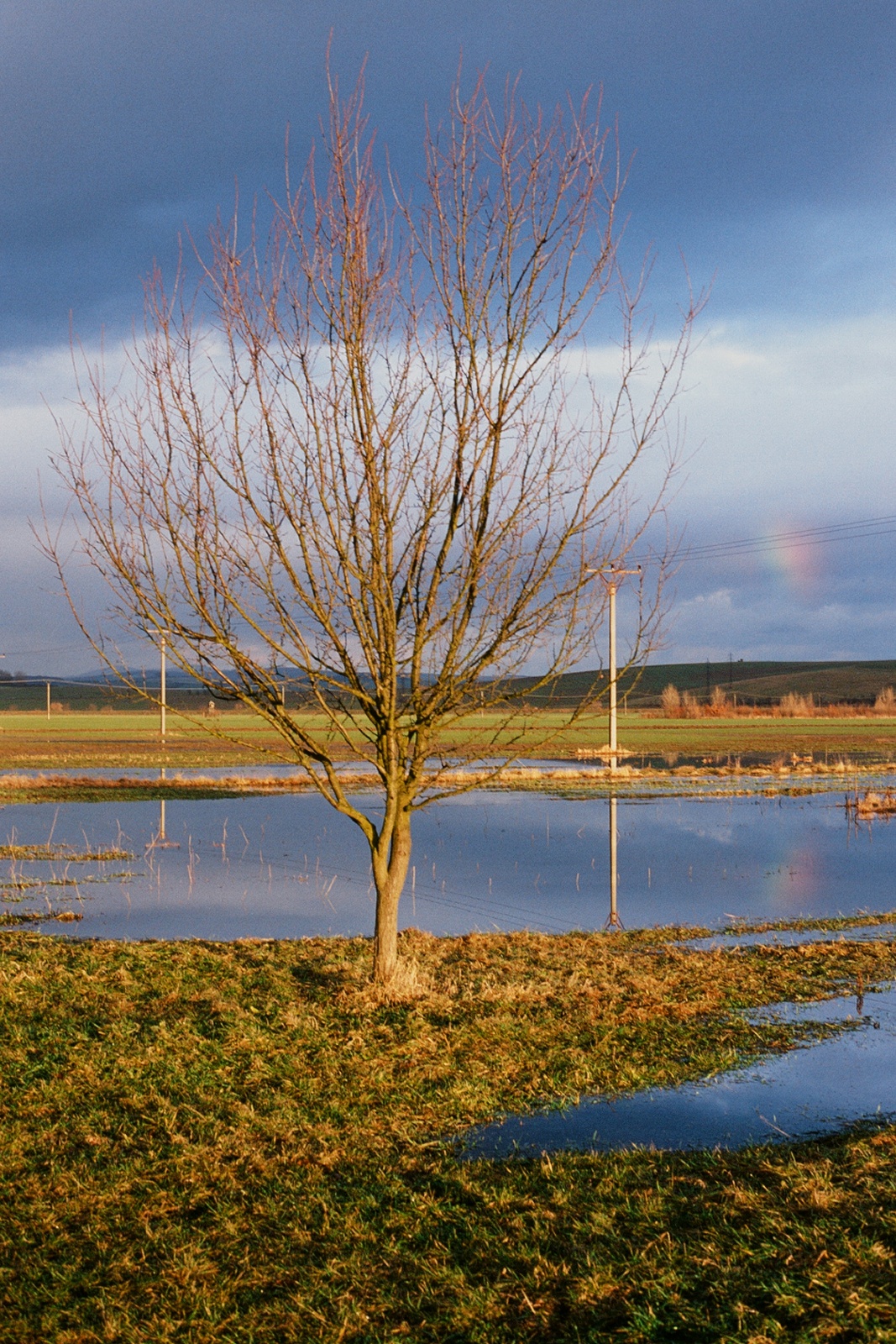
Small Rainbow
Another inversion shot

"sunset in Velehrad"
2011-01-15_15-35-00_slide-07

LHOTA! #lhota #love #home

LHOTA! #lhota #love #home

After rain

Yellow Country - 2
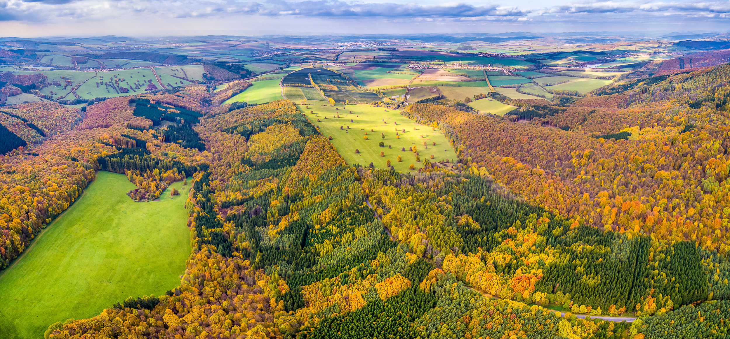
Autumn colors 03
Vanishing mist
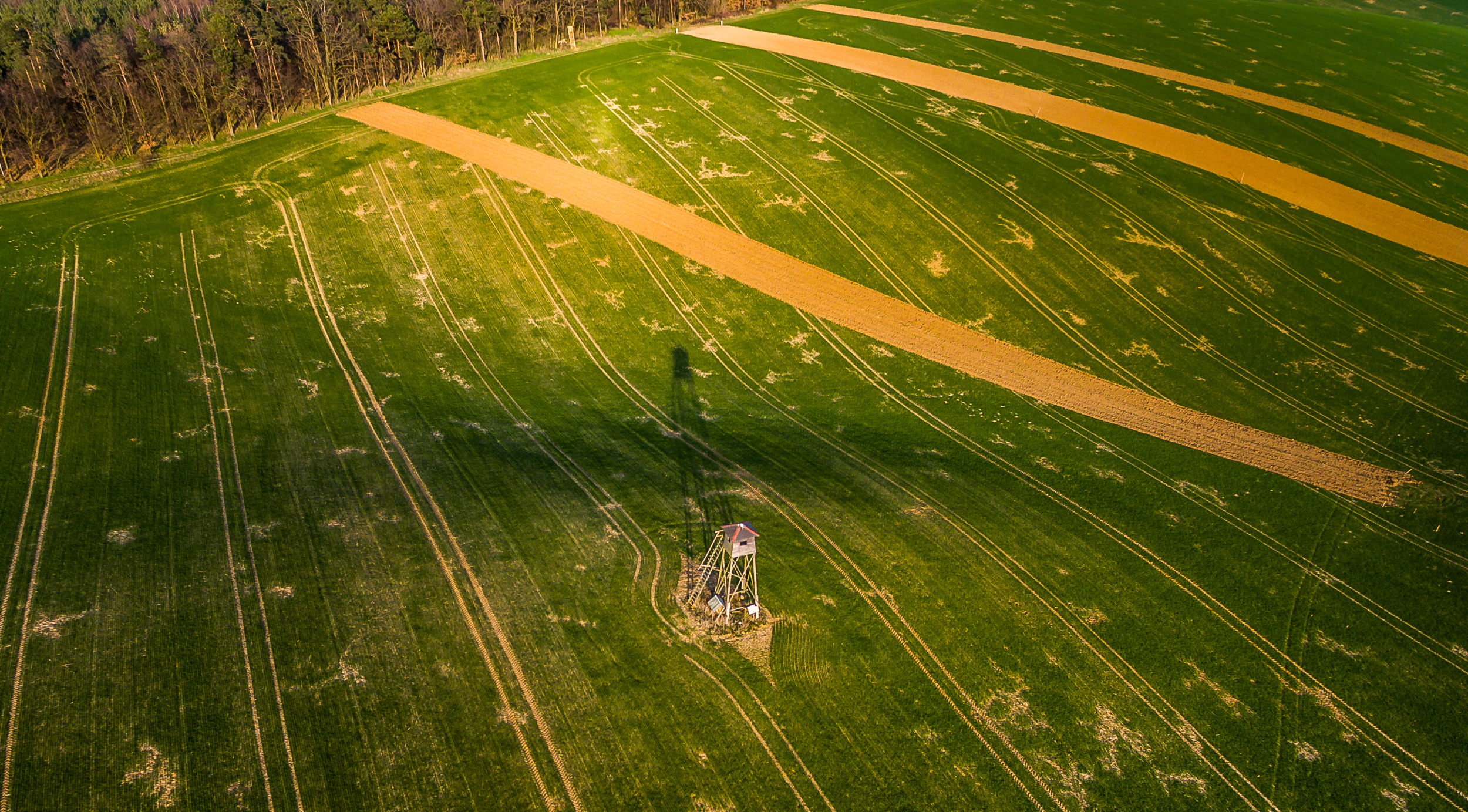
Long shadow
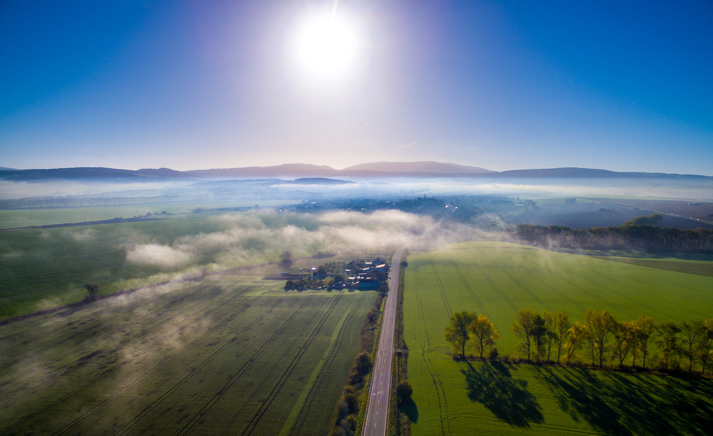
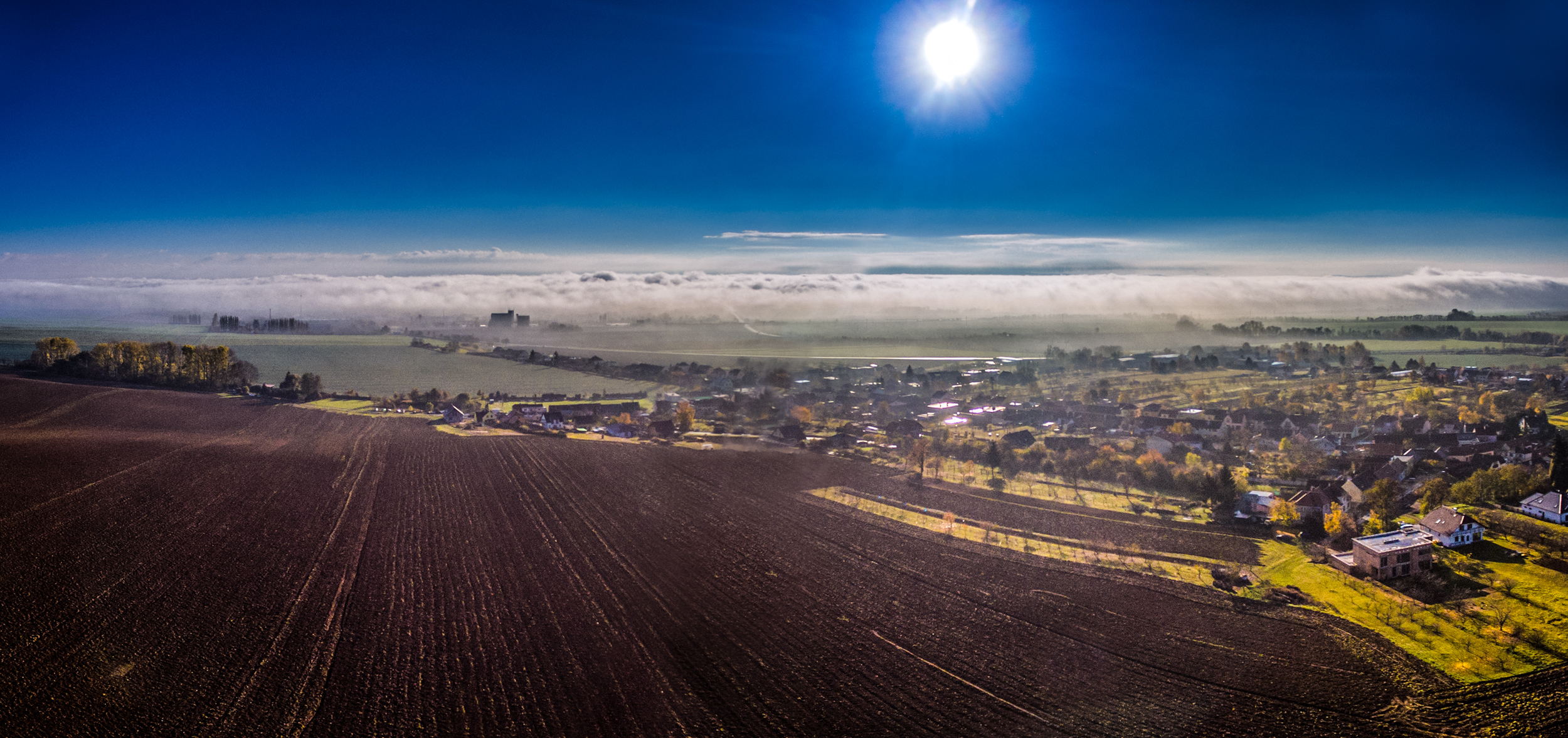
Retreating morning mist

Low Clouds
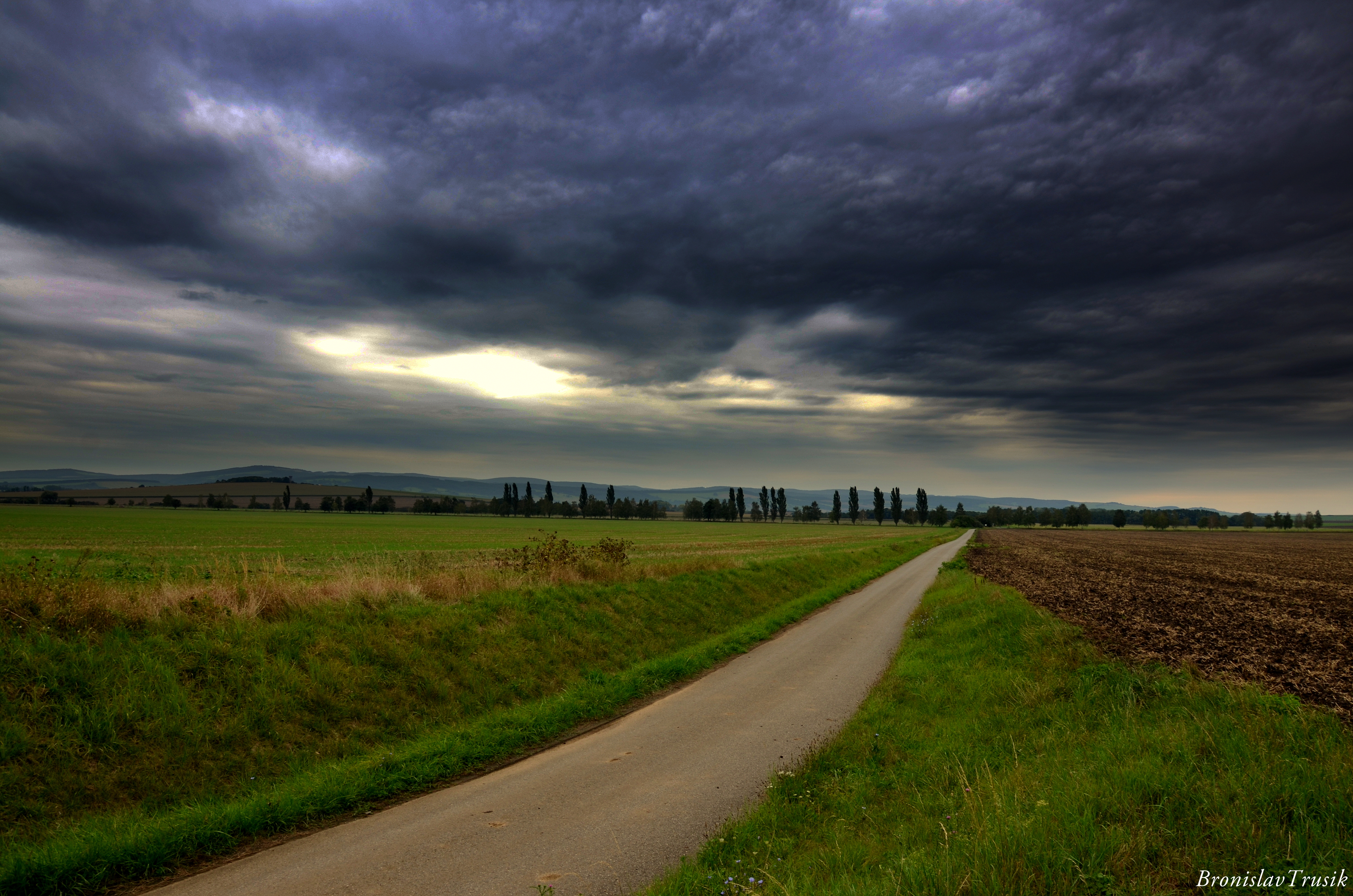
Road behind the city...
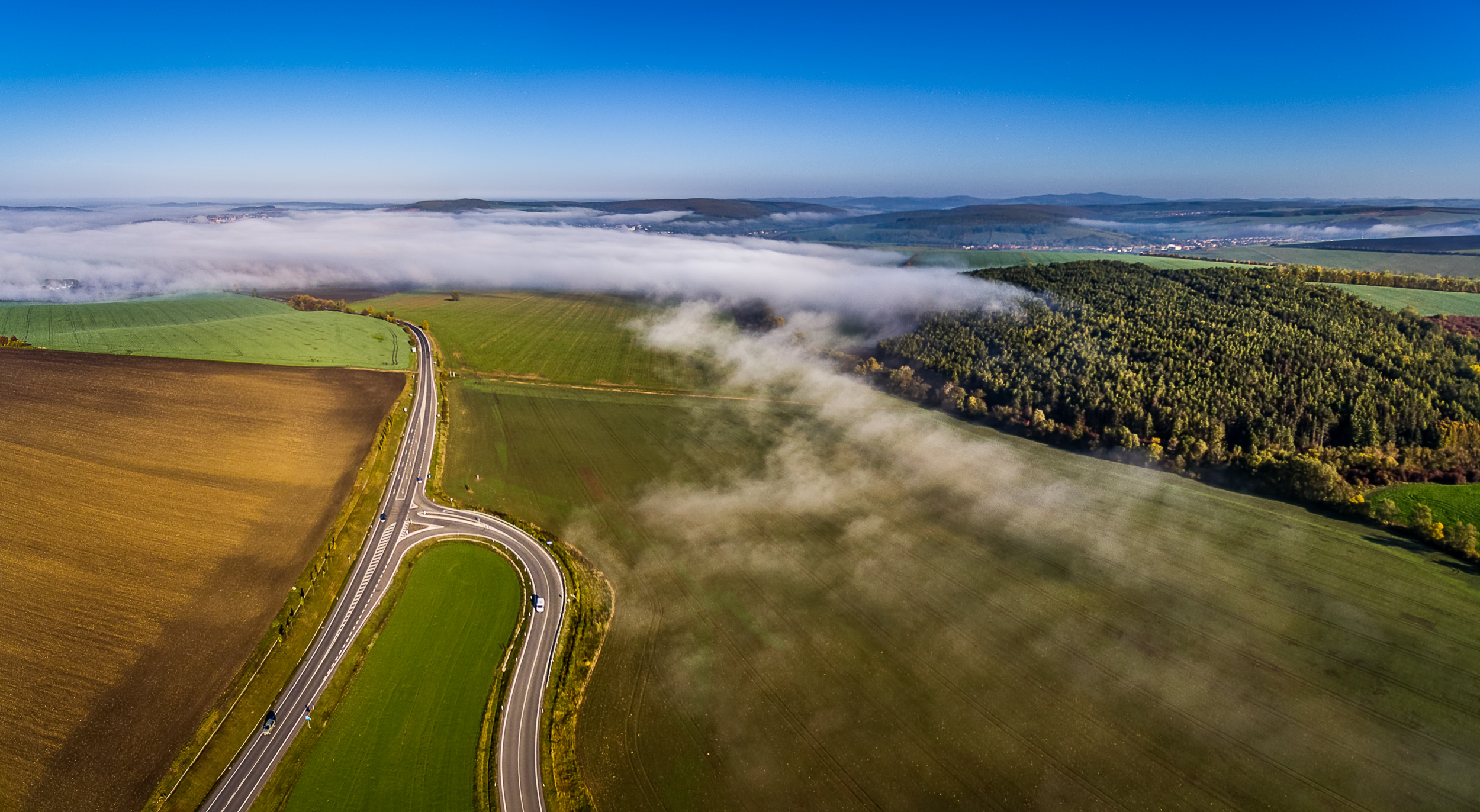
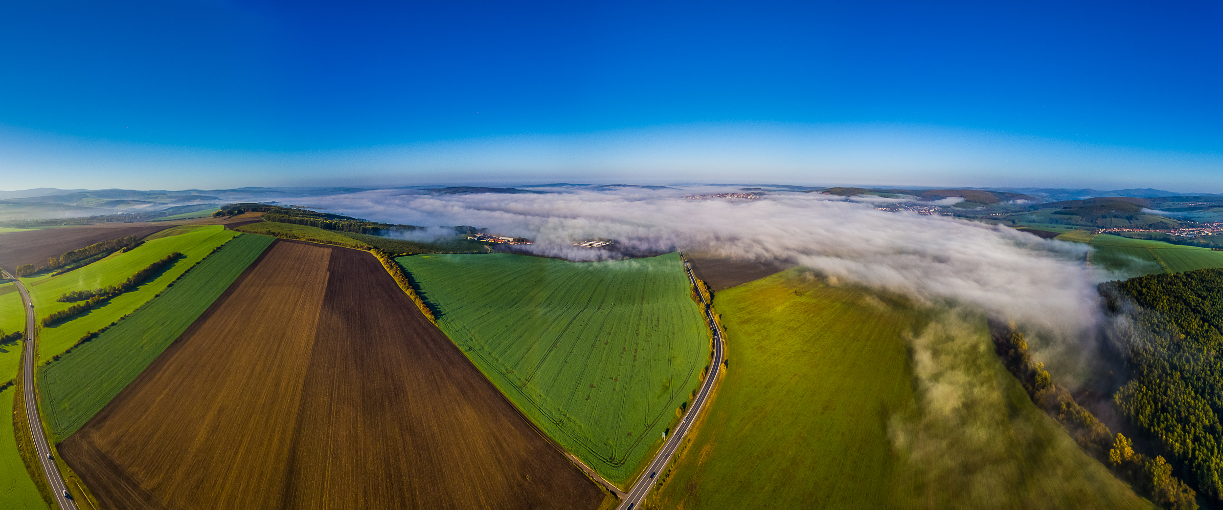
Where the fog ends

Baťův kanál, Česká Republika 2012 - DSCN0816

Baťův kanál, Česká Republika 2012 - DSCN0930

2011-01-15_15-28-00_slide-04
Topographic Map of Uherske Hradiste, Czech Republic
Find elevation by address:

Places in Uherske Hradiste, Czech Republic:
Places near Uherske Hradiste, Czech Republic:
Popovice
Popovice 28, 04 Popovice, Czech Republic
Javorovec
Mistřice
Javorovec, 12 Mistřice, Czech Republic
Bílovice 7, 12 Bílovice, Czech Republic
Bílovice
Svárov
Svárov 11, 12 Svárov, Czech Republic
Uherske Hradiste
Kunovice
Novoveská, 04 Kunovice, Czech Republic
Rybárny
Mazůrkova, Rybárny, 01 Uherské Hradiště, Czech Republic
Štěpnická, 06 Uherské Hradiště, Czech Republic
Louka
Nová Lhota, Vápenky
Nová Lhota, Vápenky, Hájenka
K. H. Máchy 20, Kvítkovice, 02 Otrokovice, Czech Republic
Kvítkovice
Recent Searches:
- Elevation of Leguwa, Nepal
- Elevation of County Rd, Enterprise, AL, USA
- Elevation of Kolchuginsky District, Vladimir Oblast, Russia
- Elevation of Shustino, Vladimir Oblast, Russia
- Elevation of Lampiasi St, Sarasota, FL, USA
- Elevation of Elwyn Dr, Roanoke Rapids, NC, USA
- Elevation of Congressional Dr, Stevensville, MD, USA
- Elevation of Bellview Rd, McLean, VA, USA
- Elevation of Stage Island Rd, Chatham, MA, USA
- Elevation of Shibuya Scramble Crossing, 21 Udagawacho, Shibuya City, Tokyo -, Japan