Elevation of Javorovec, 12 Mistřice, Czech Republic
Location: Czech Republic > Zlin Region > Uherske Hradiste > Mistřice > Javorovec >
Longitude: 17.5278574
Latitude: 49.0755166
Elevation: 285m / 935feet
Barometric Pressure: 98KPa
Elevation Map:
Satellite Map:
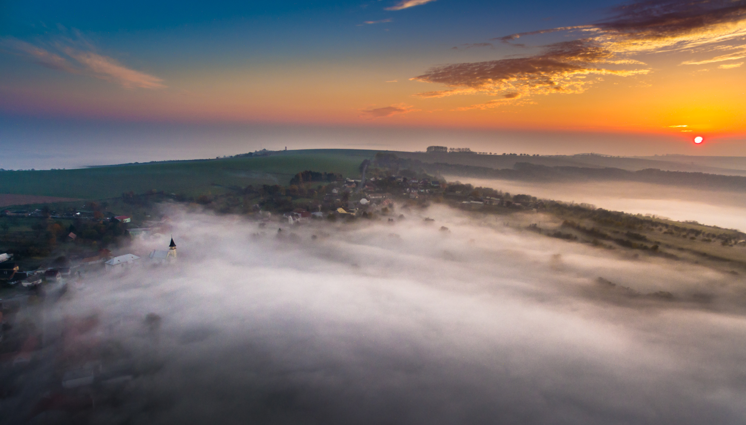
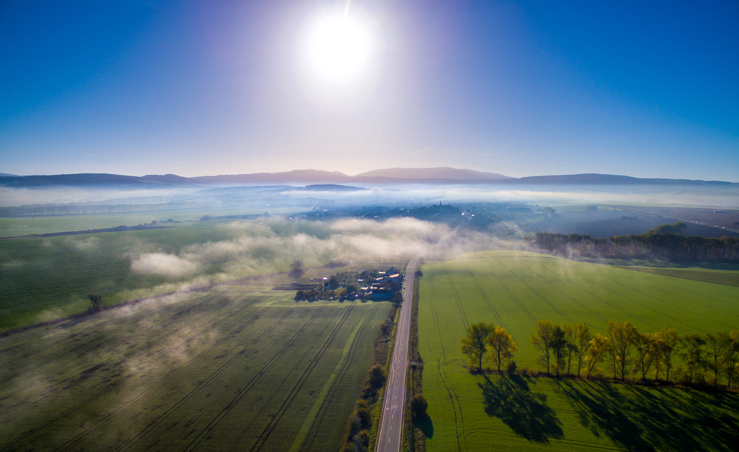
Related Photos:
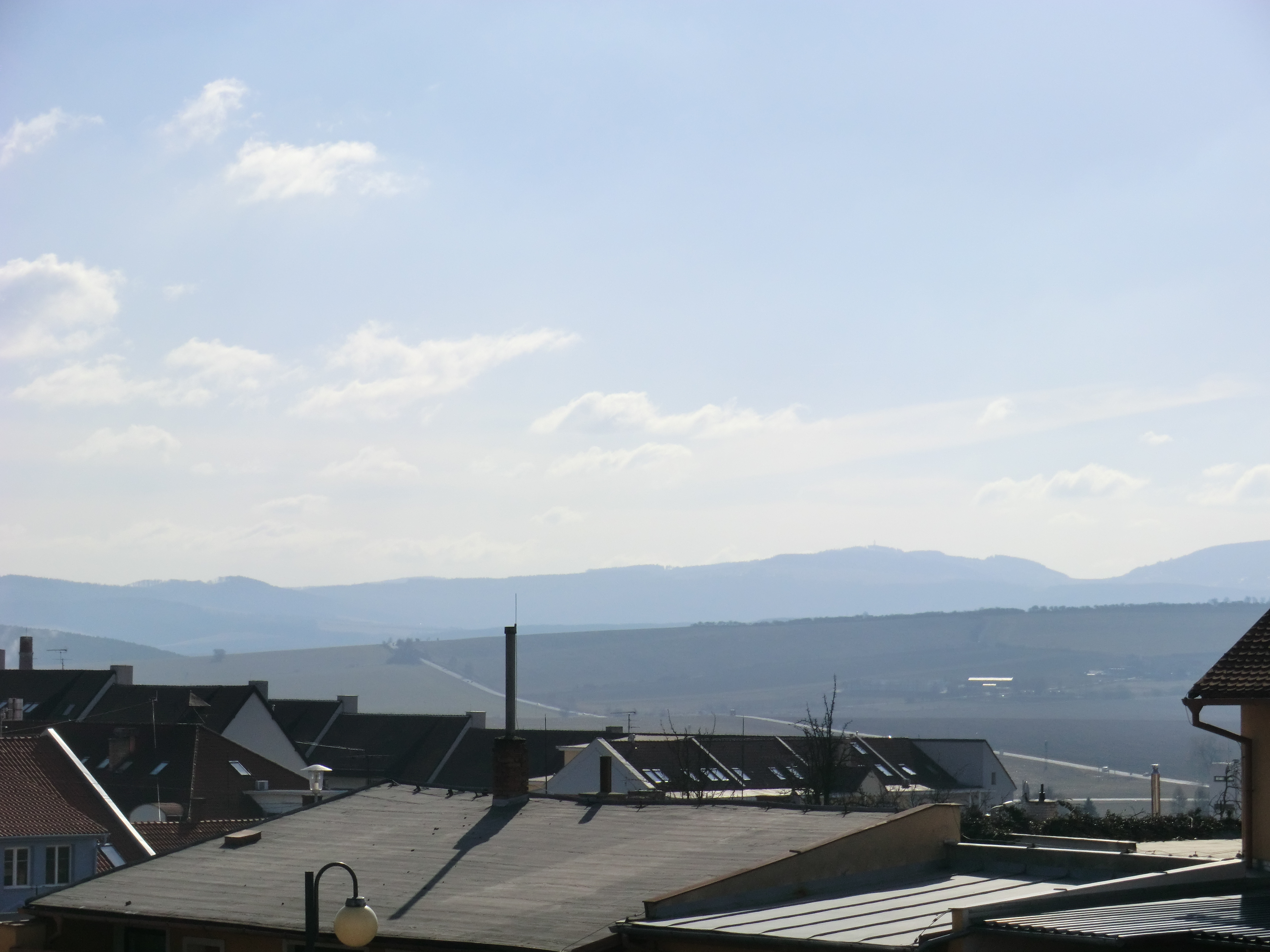
View towards Slovakia

View from tower
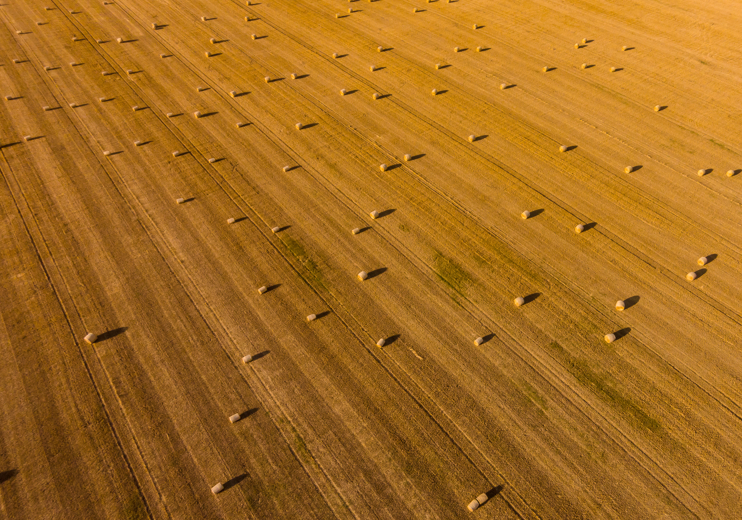
Another view on bales of straw
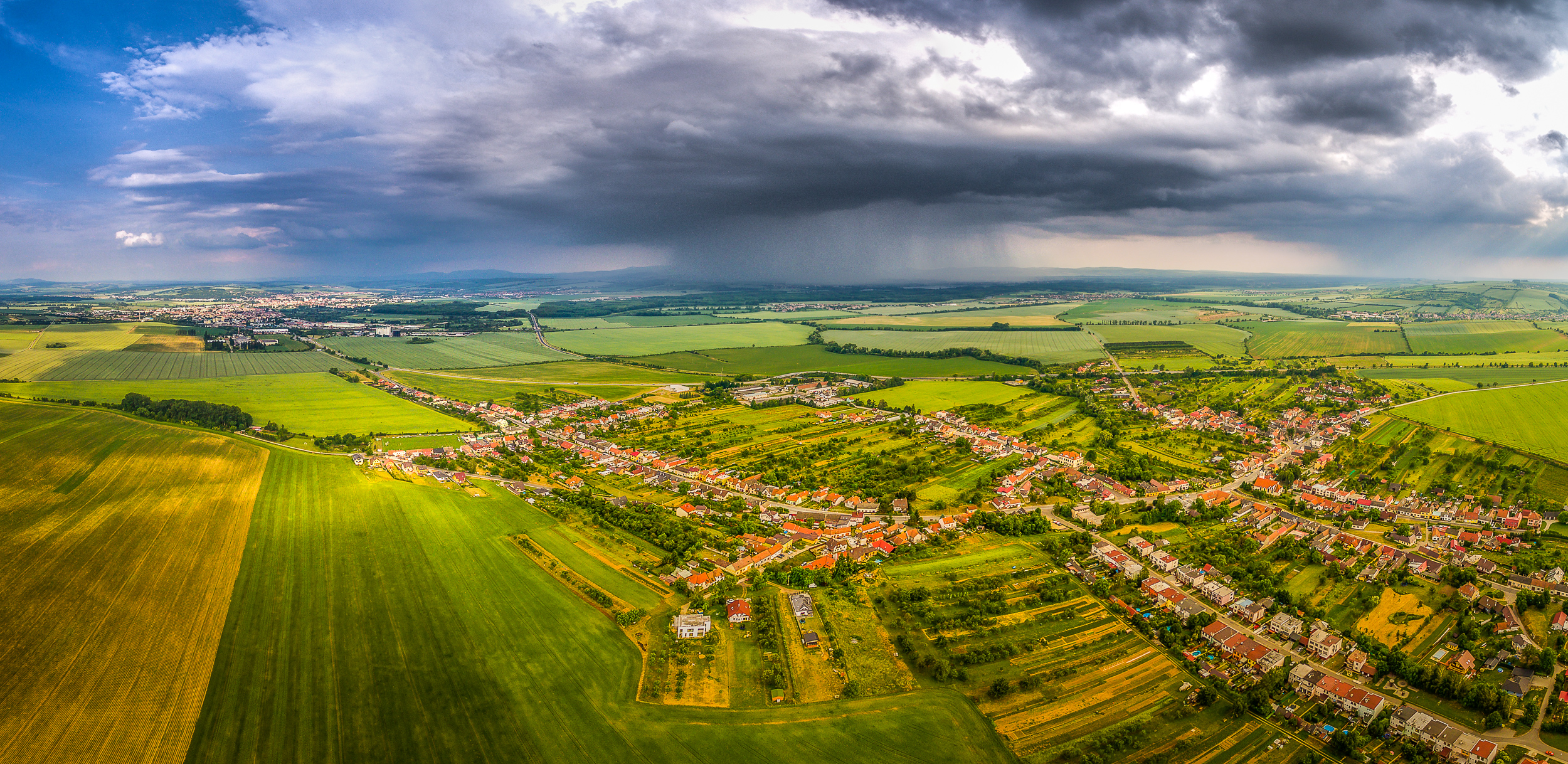
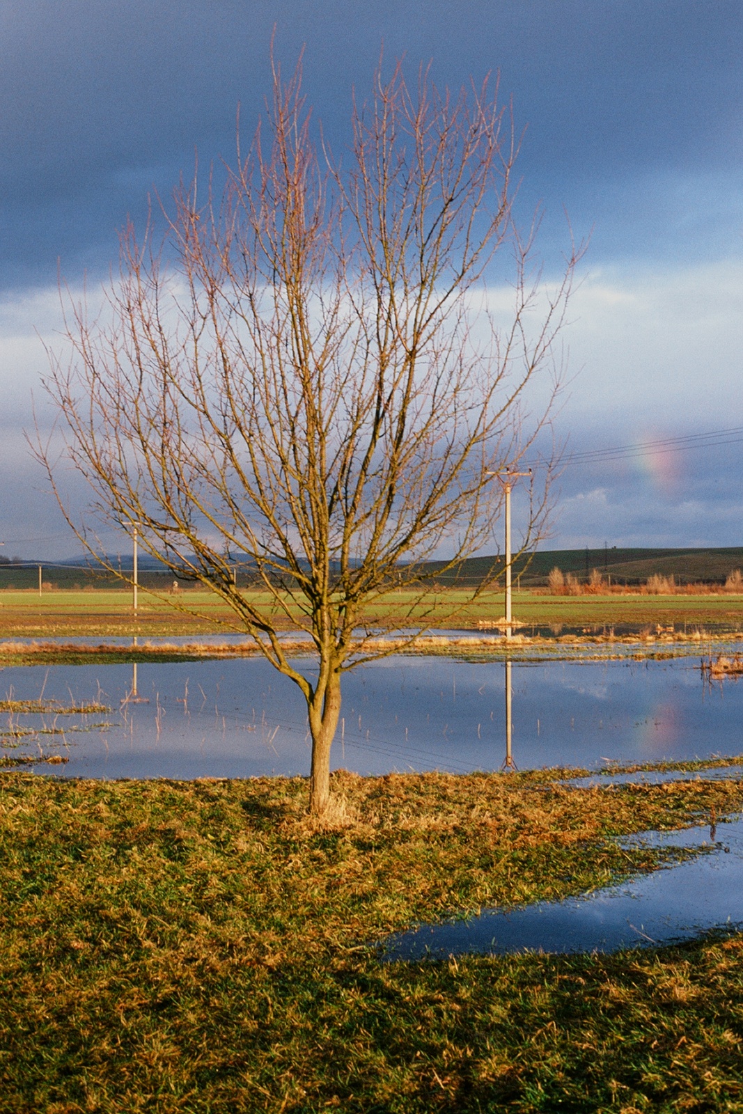
Not far away rain
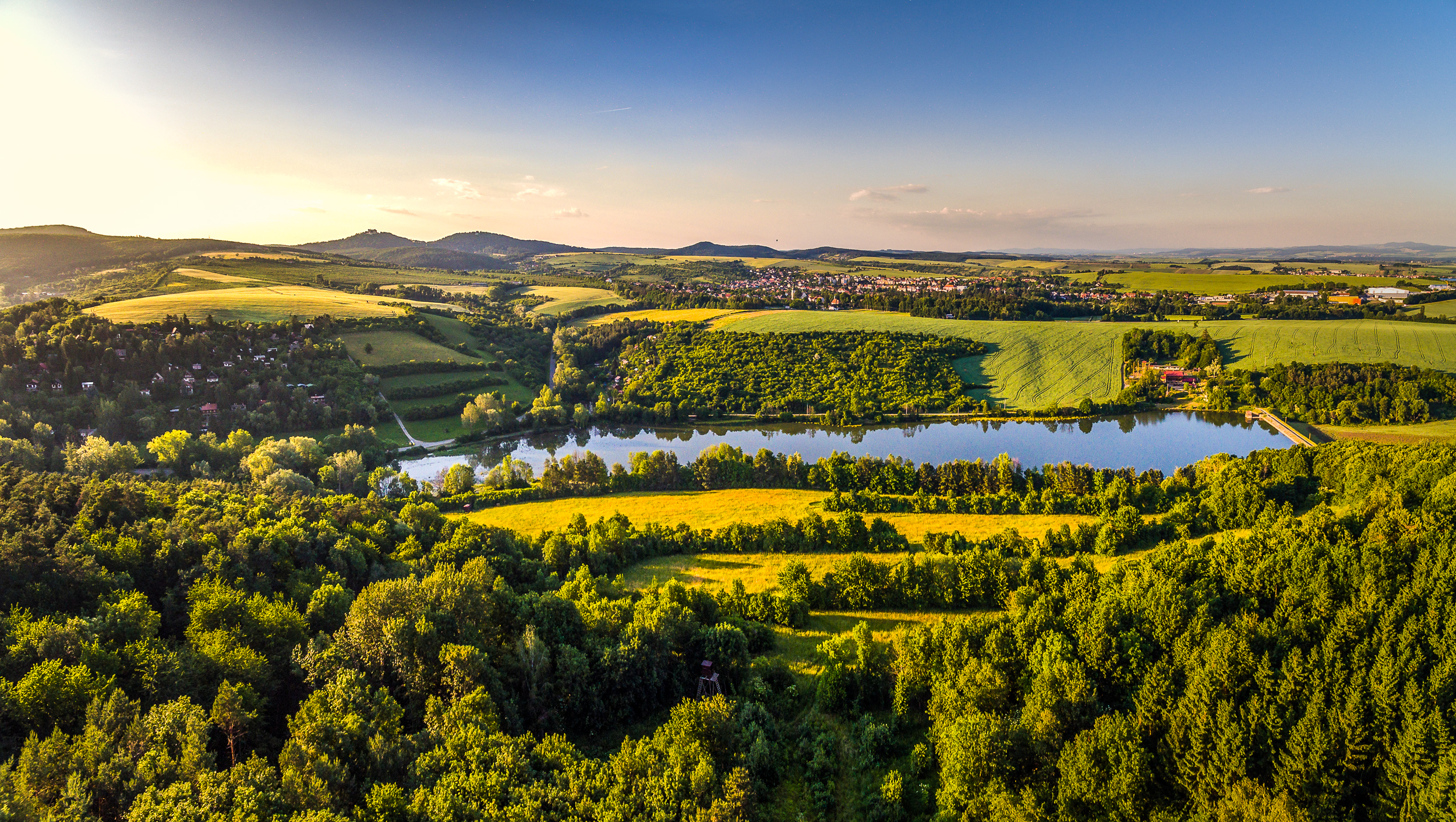
Above dam

"sunset in Velehrad"
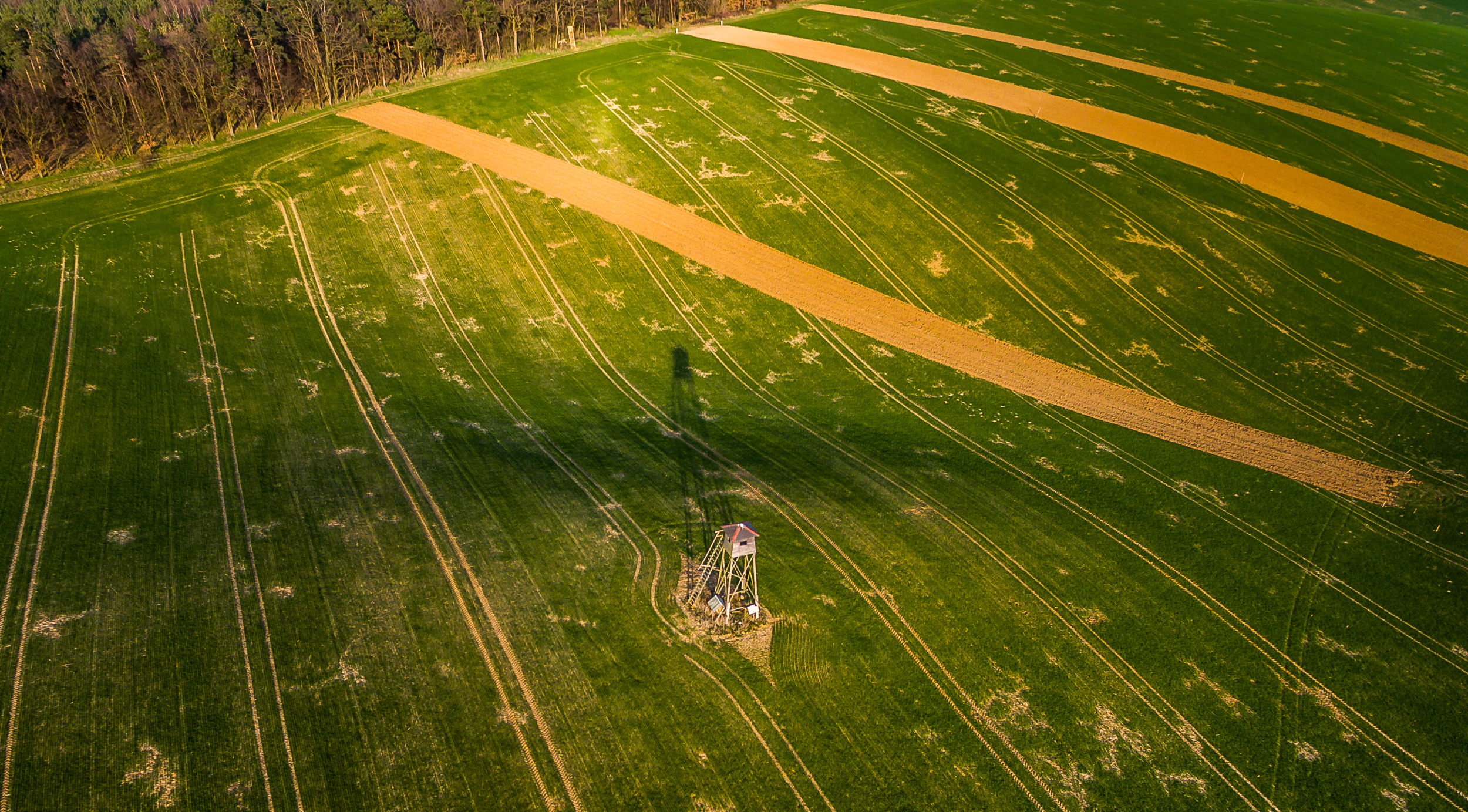
Long shadow
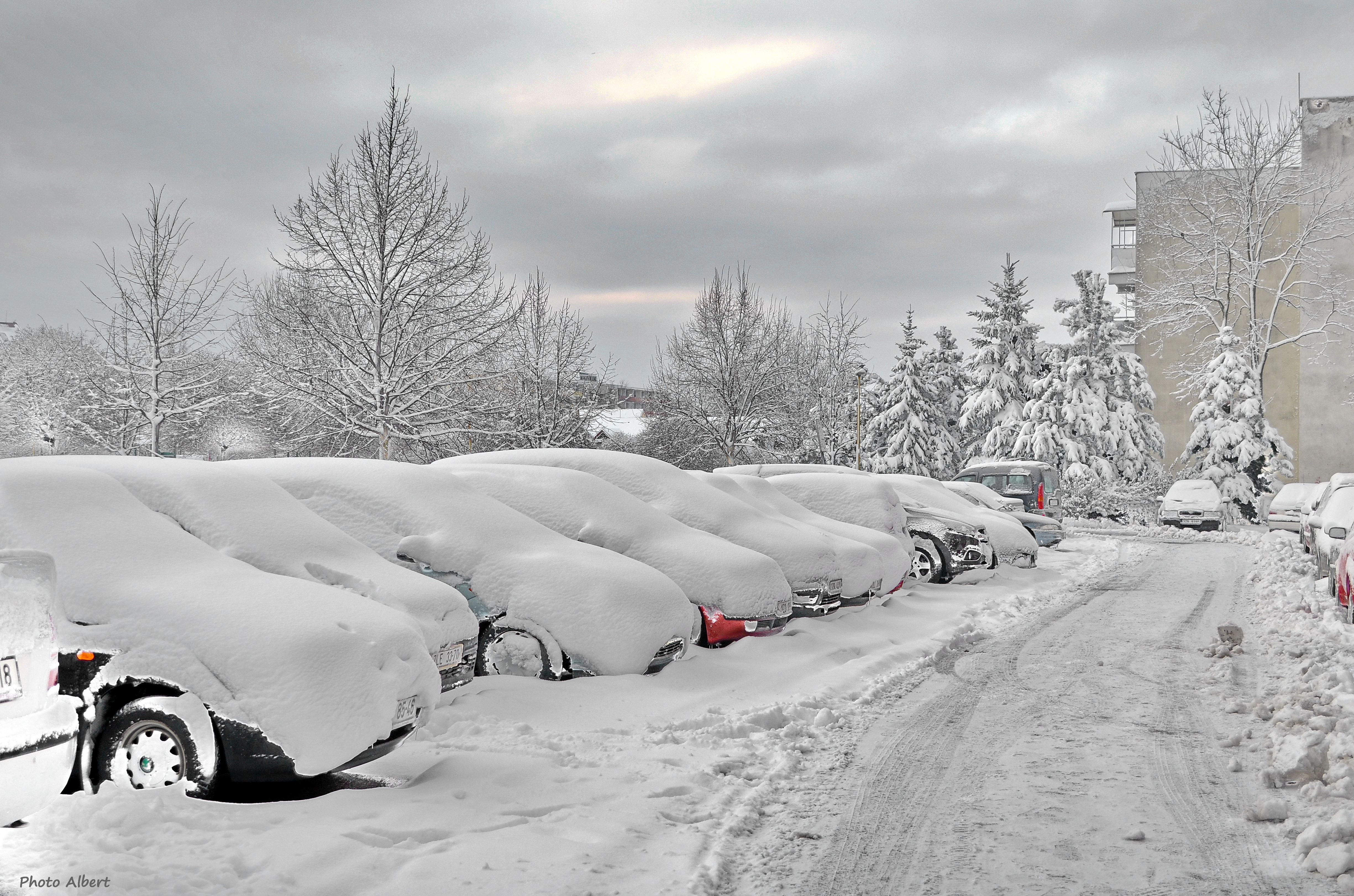
Easter in the snow, April 1, 2013 (Otrokovice, Zlín Region)
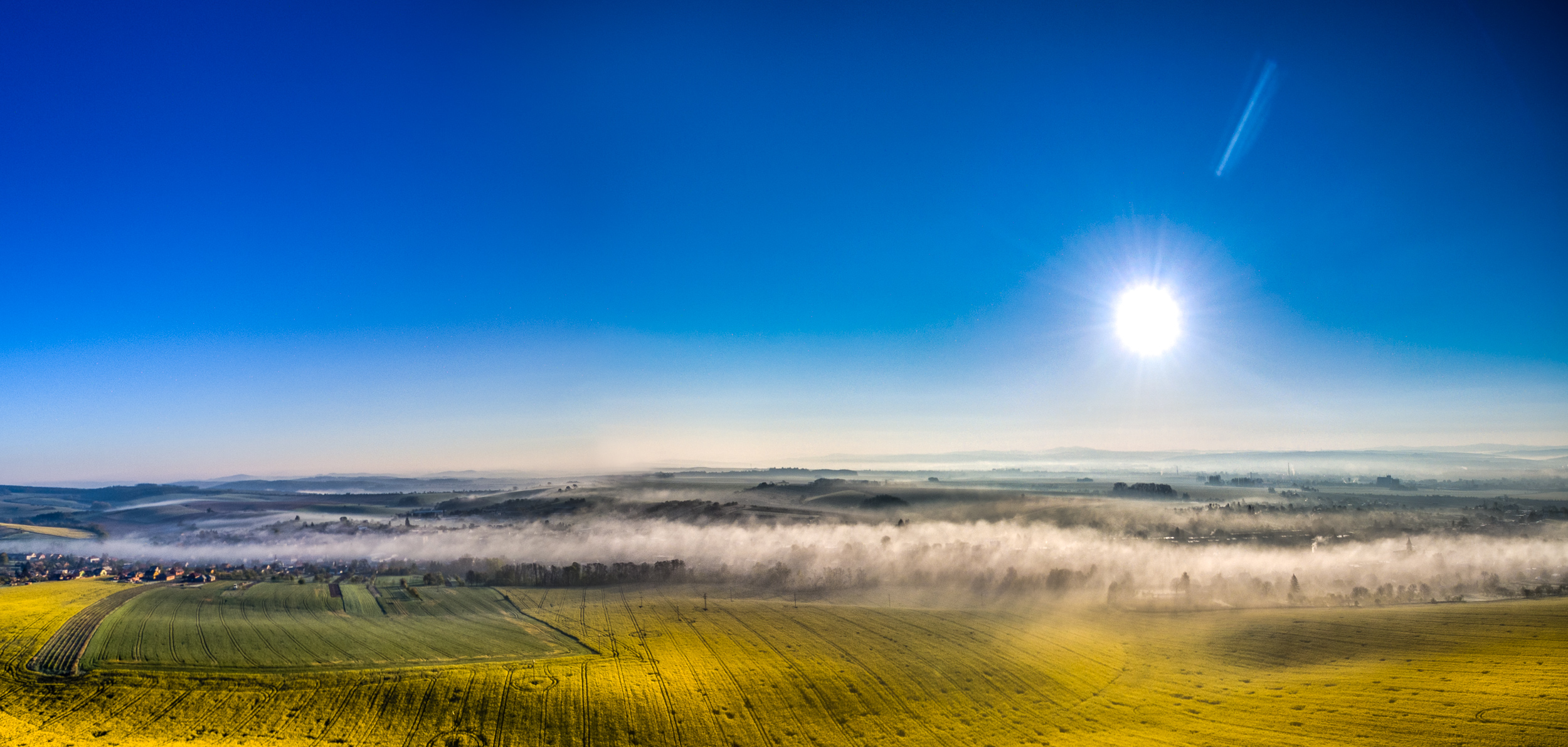
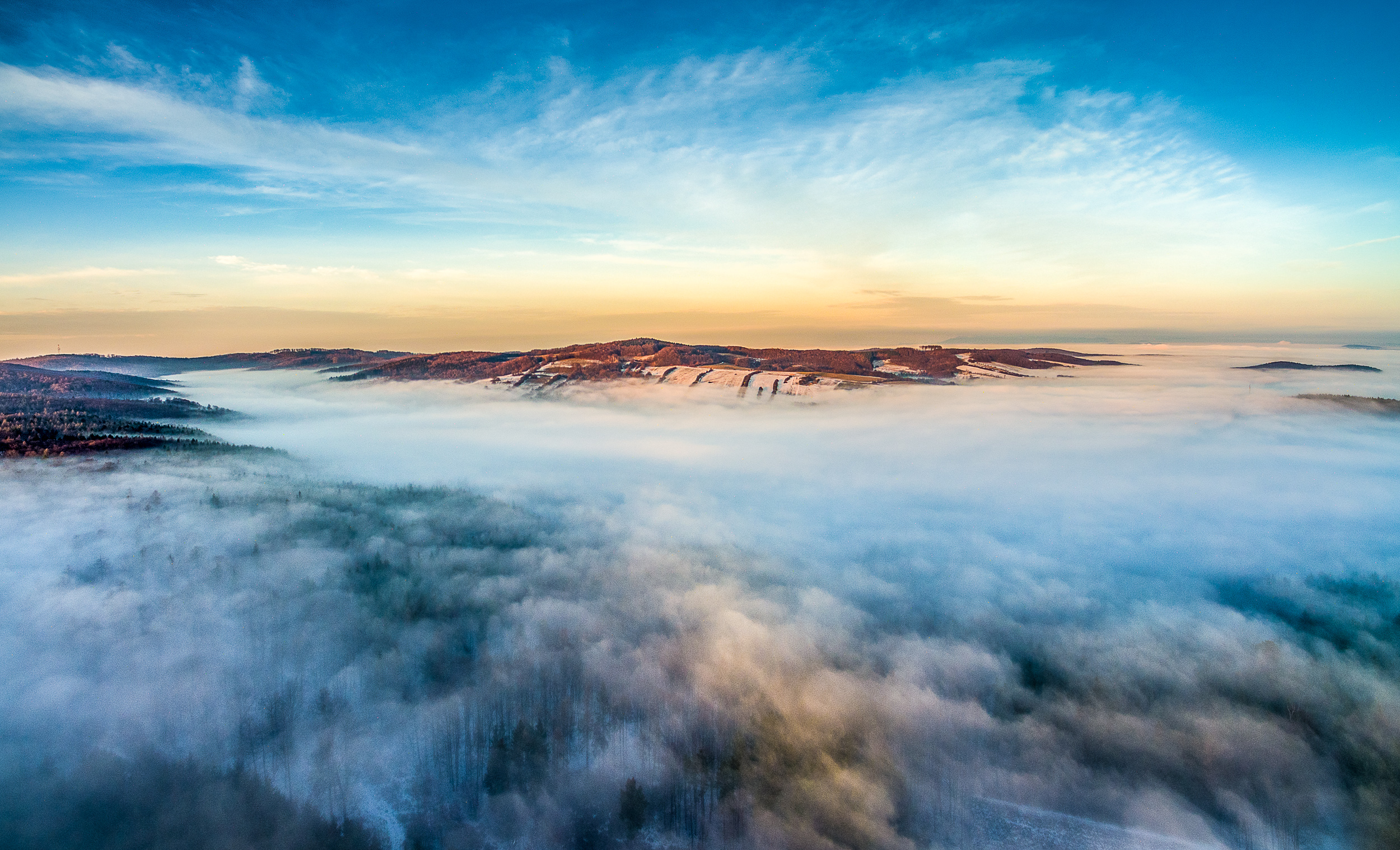
Morning mists
Another inversion shot
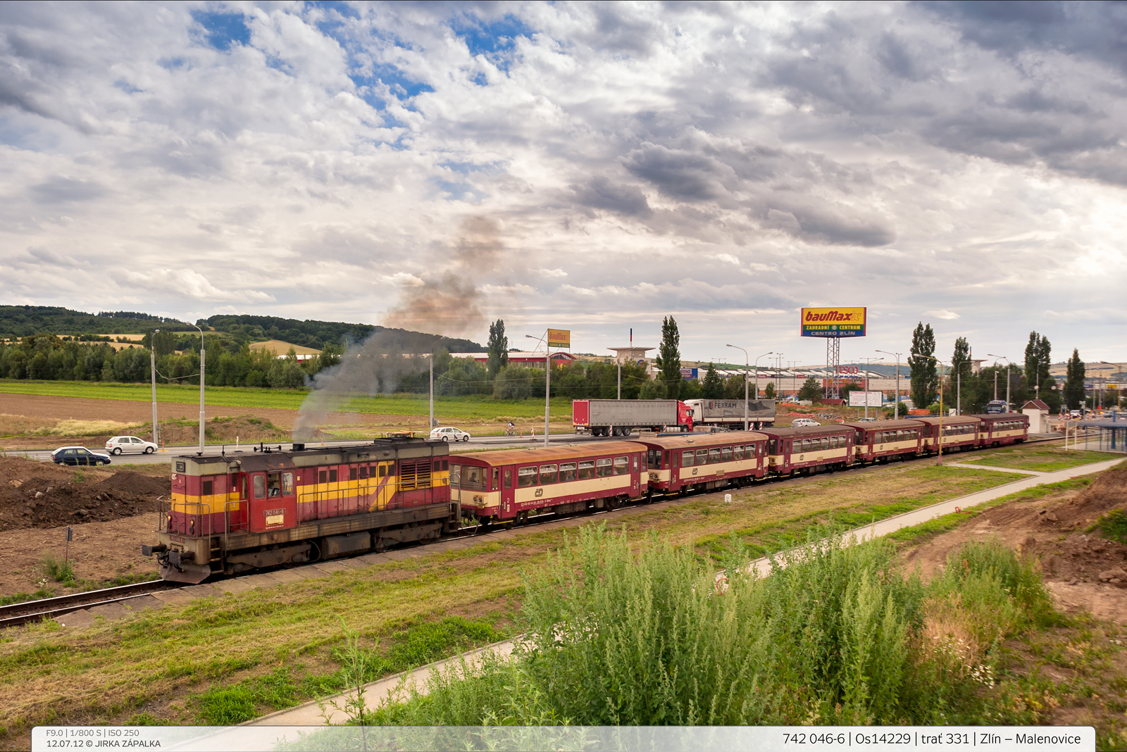
742.046-6 | Os14229 | trať 331 | Zlín – Malenovice
2011-01-15_15-35-00_slide-07

Slepá ramena

LHOTA! #lhota #love #home

LHOTA! #lhota #love #home

2011-01-15_15-28-00_slide-04

Yellow Country - 2
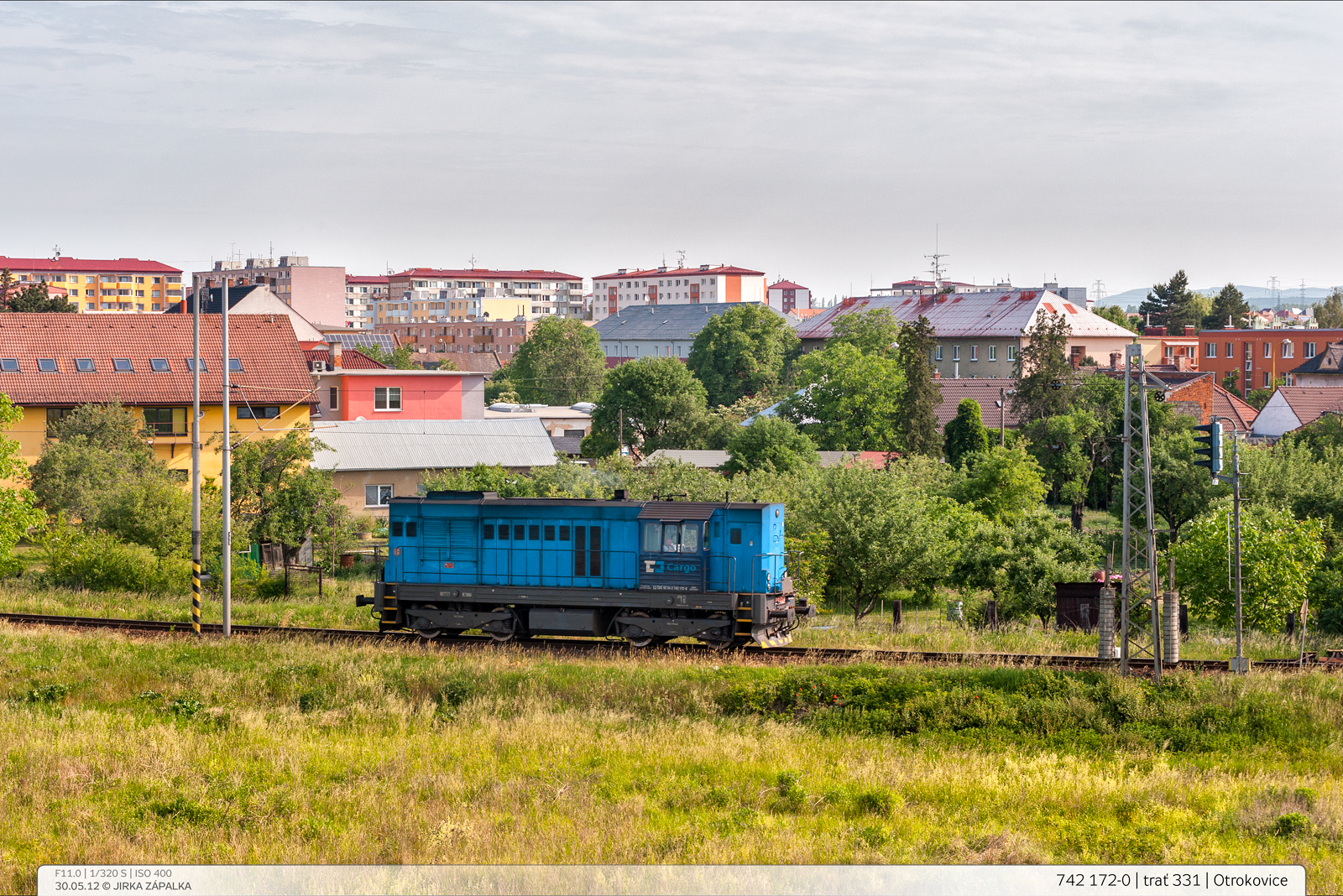
742.172-0 | trať 331 | Otrokovice
Above fog 2
Hidden village

[360 VR] Yellow Country
Vanishing mist

Green waves
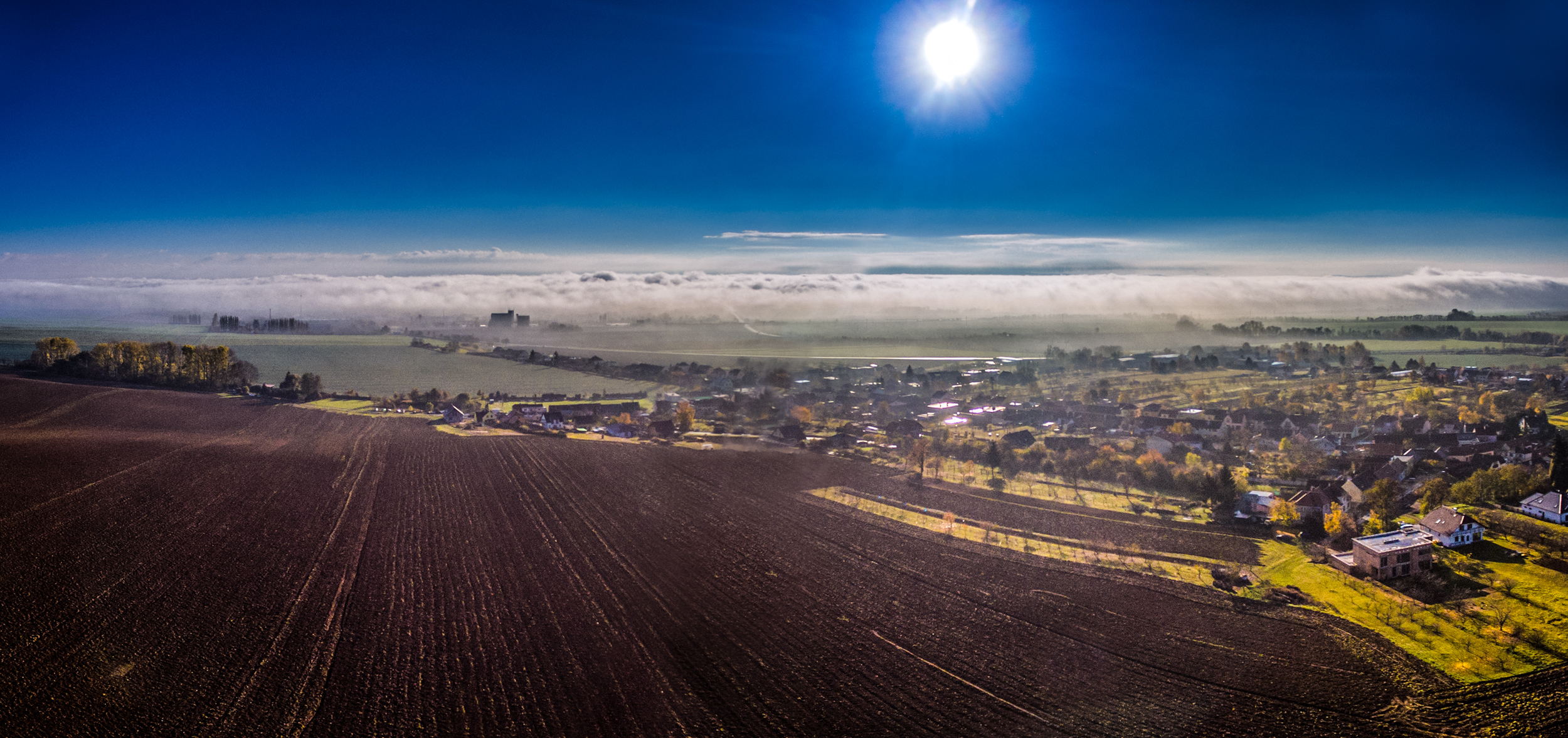
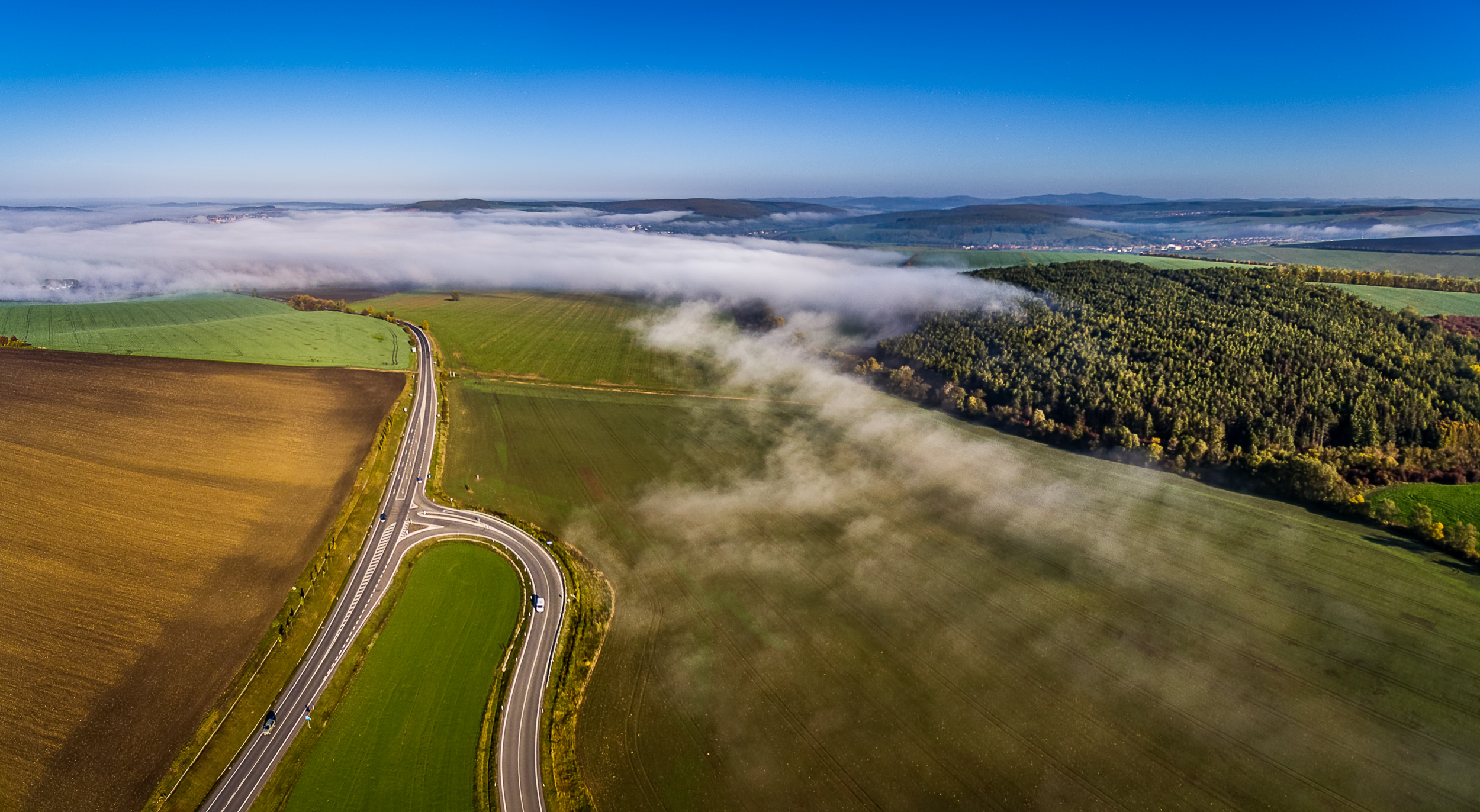
Where the fog ends
Topographic Map of Javorovec, 12 Mistřice, Czech Republic
Find elevation by address:

Places near Javorovec, 12 Mistřice, Czech Republic:
Javorovec
Mistřice
Popovice 28, 04 Popovice, Czech Republic
Popovice
Bílovice
Bílovice 7, 12 Bílovice, Czech Republic
Uherske Hradiste
Kunovice
Rybárny
Mazůrkova, Rybárny, 01 Uherské Hradiště, Czech Republic
Uherske Hradiste
Štěpnická, 06 Uherské Hradiště, Czech Republic
Novoveská, 04 Kunovice, Czech Republic
Svárov
Svárov 11, 12 Svárov, Czech Republic
Kvítkovice
K. H. Máchy 20, Kvítkovice, 02 Otrokovice, Czech Republic
Otrokovice
Louka
Fabiánka I, Kudlov, 01 Zlín, Czech Republic
Recent Searches:
- Elevation of Leguwa, Nepal
- Elevation of County Rd, Enterprise, AL, USA
- Elevation of Kolchuginsky District, Vladimir Oblast, Russia
- Elevation of Shustino, Vladimir Oblast, Russia
- Elevation of Lampiasi St, Sarasota, FL, USA
- Elevation of Elwyn Dr, Roanoke Rapids, NC, USA
- Elevation of Congressional Dr, Stevensville, MD, USA
- Elevation of Bellview Rd, McLean, VA, USA
- Elevation of Stage Island Rd, Chatham, MA, USA
- Elevation of Shibuya Scramble Crossing, 21 Udagawacho, Shibuya City, Tokyo -, Japan