Elevation of 04 Kunovice, Czech Republic
Location: Czech Republic > Zlin Region > Uherske Hradiste >
Longitude: 17.4701145
Latitude: 49.0449876
Elevation: 181m / 594feet
Barometric Pressure: 99KPa
Elevation Map:
Satellite Map:
Related Photos:
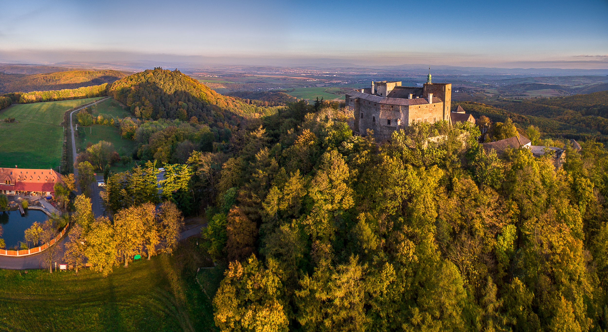
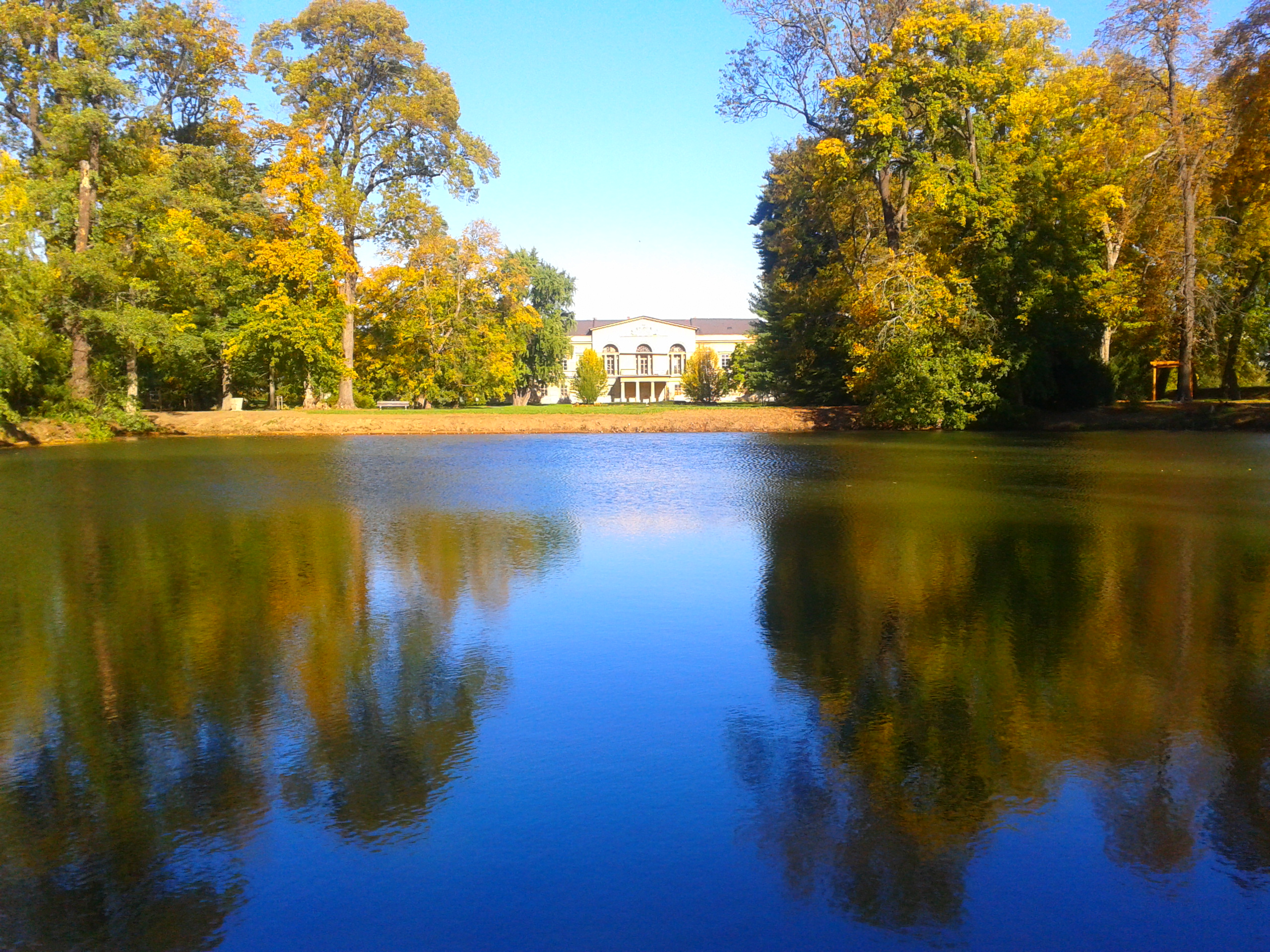
Buchlov castle - autumn view
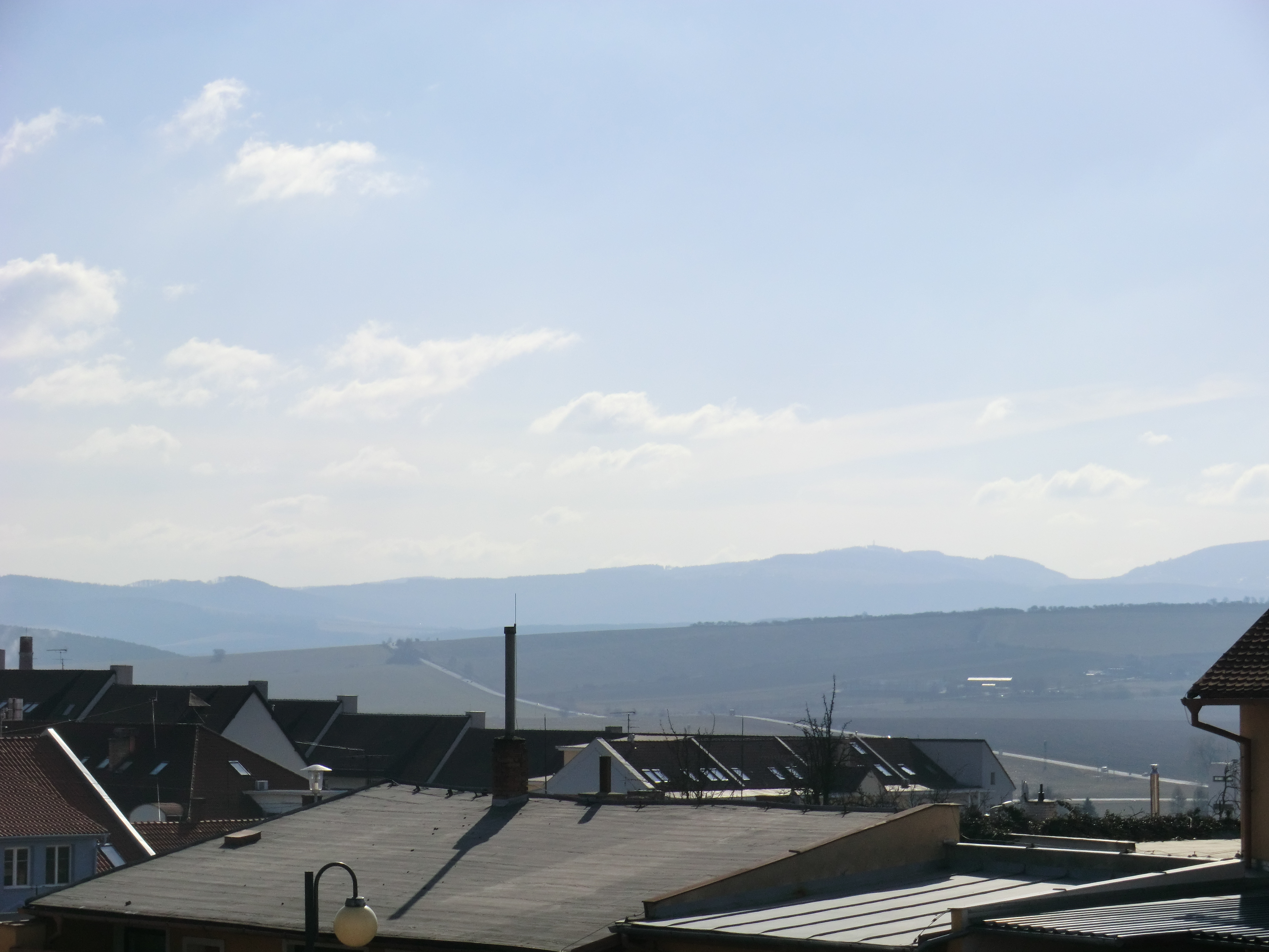
View towards Slovakia

View from tower
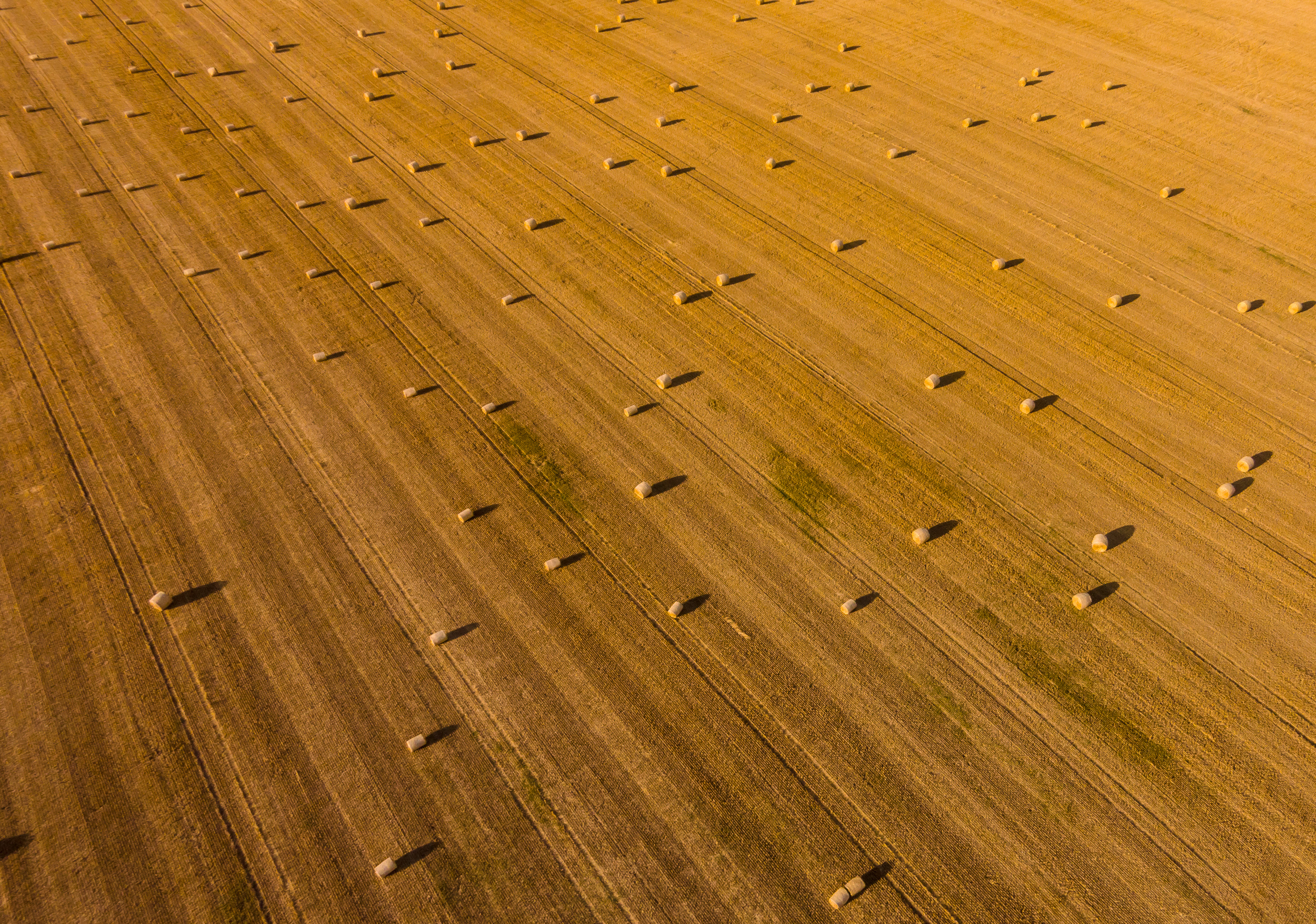
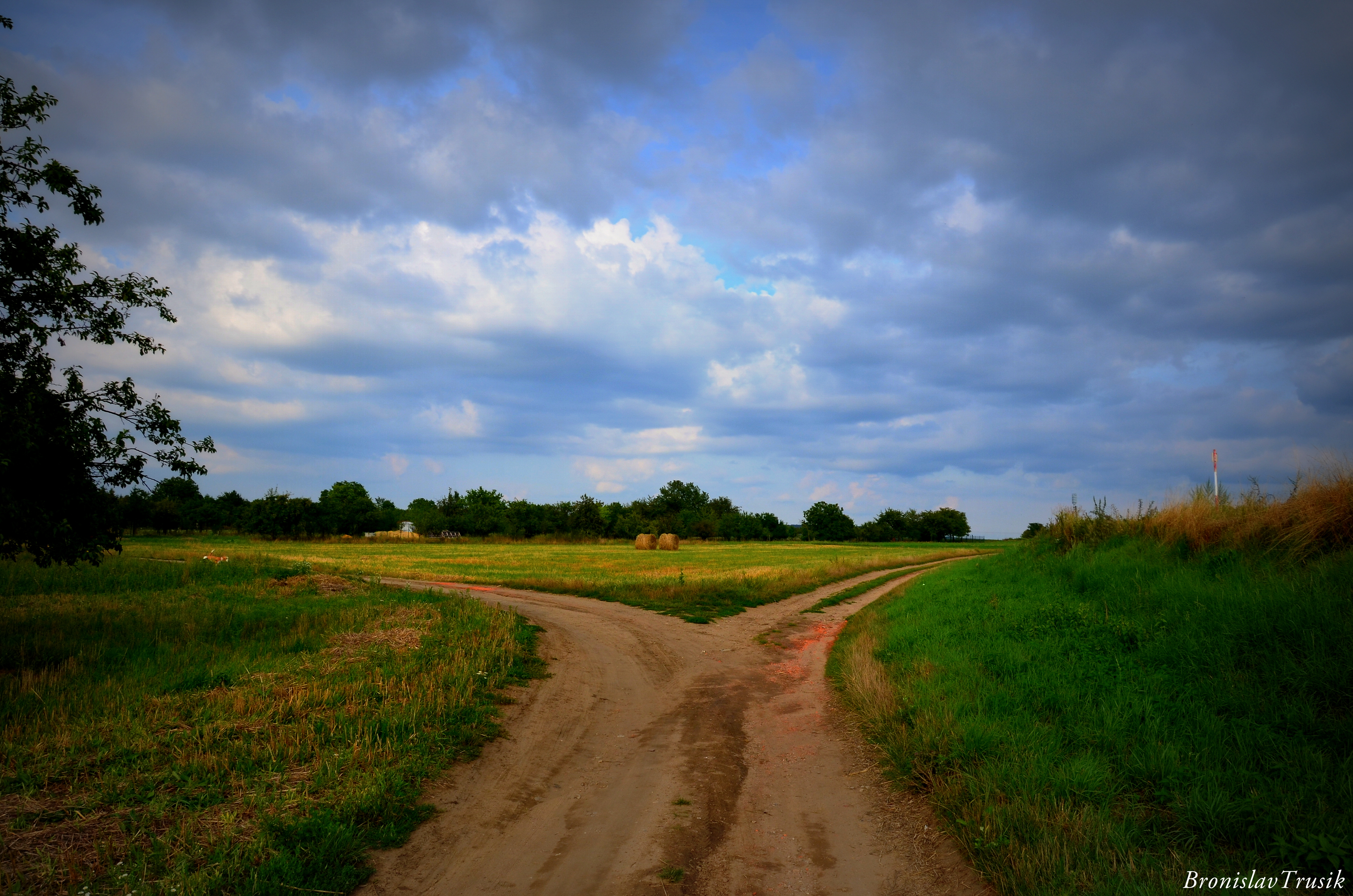
Another view on bales of straw
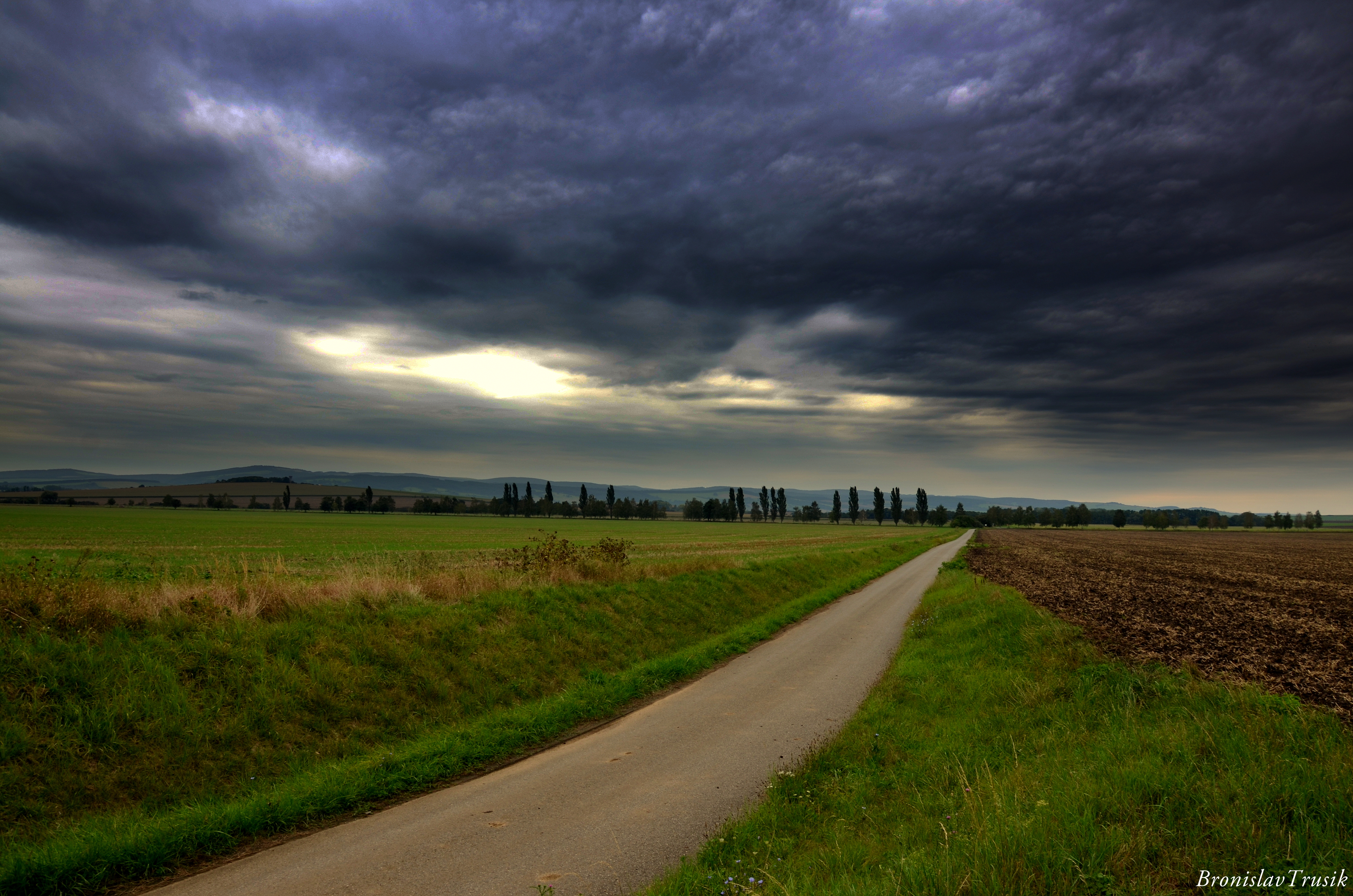
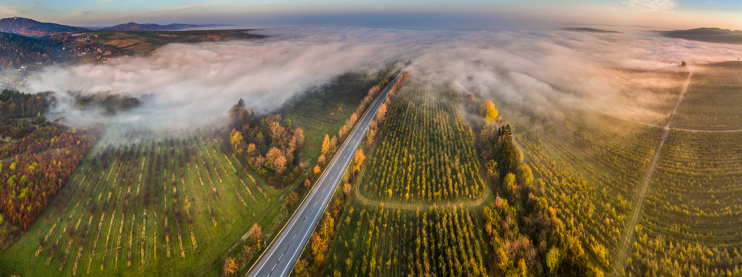
Road behind the city...
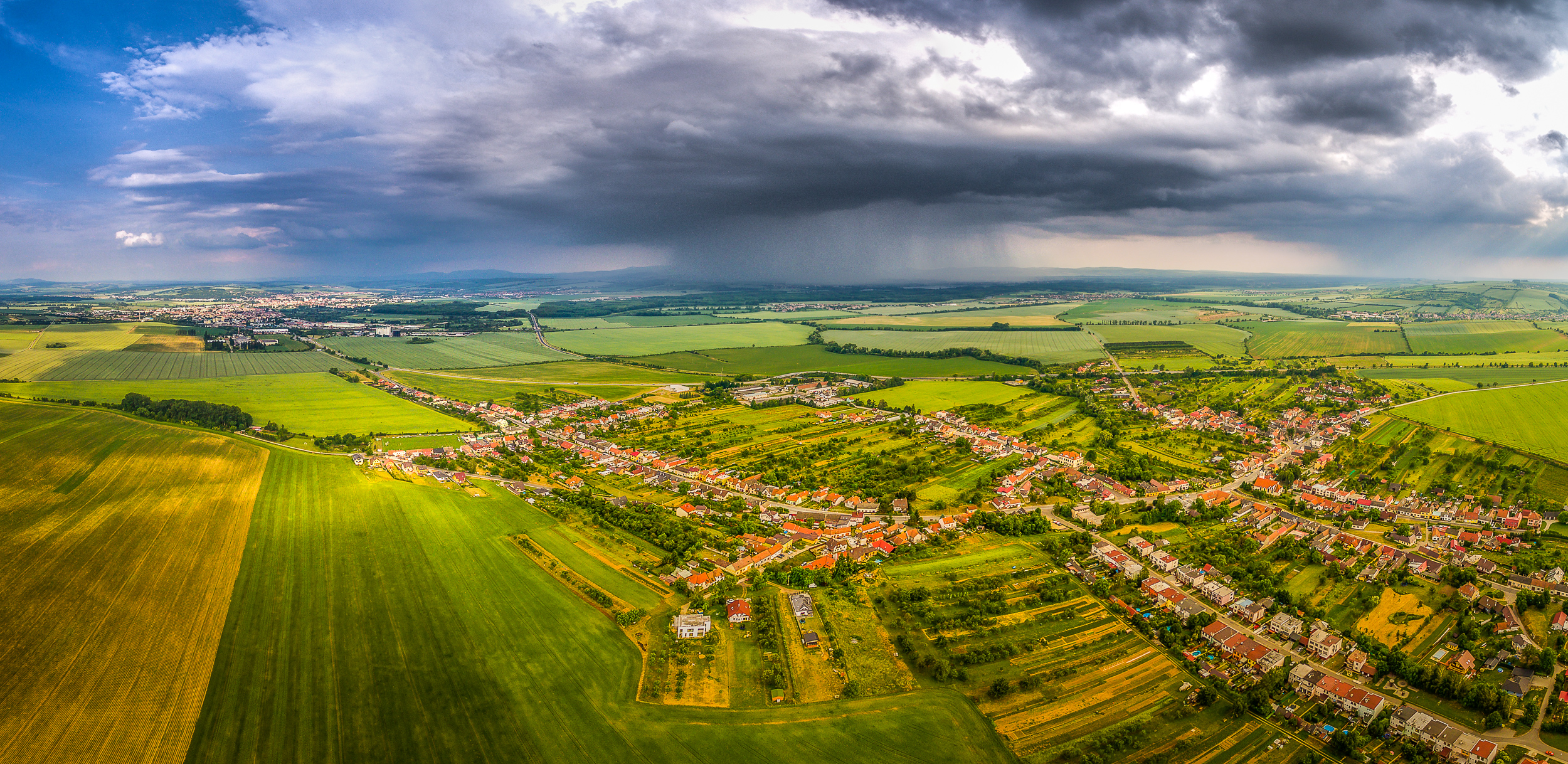
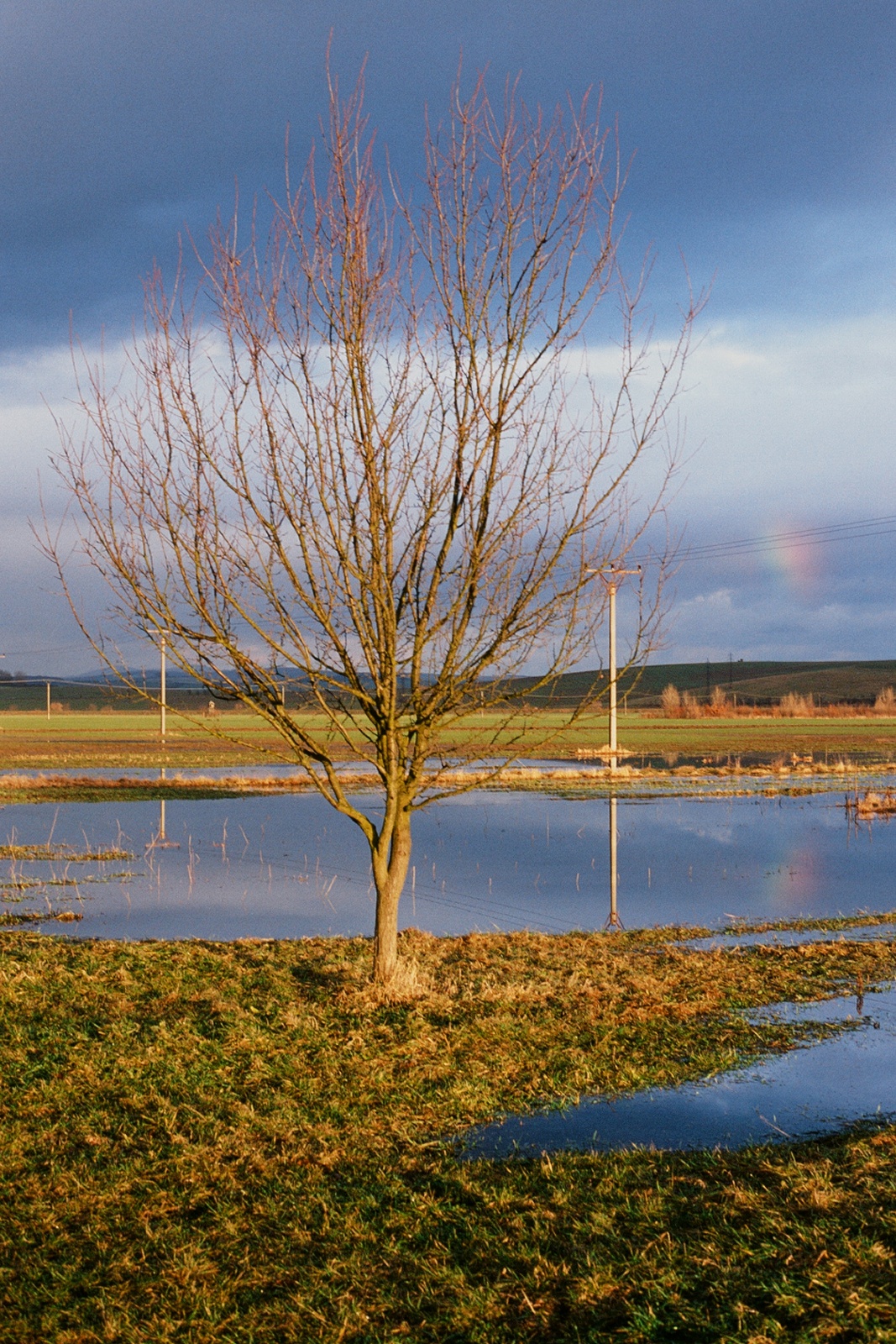
Not far away rain
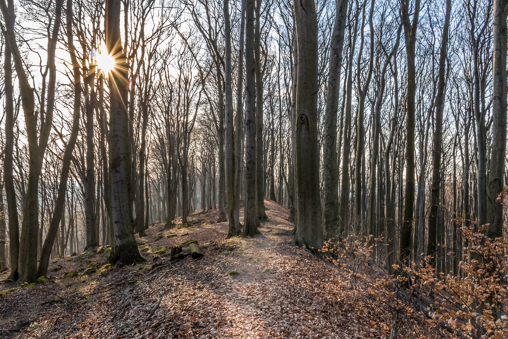
sun struggling to get through trees
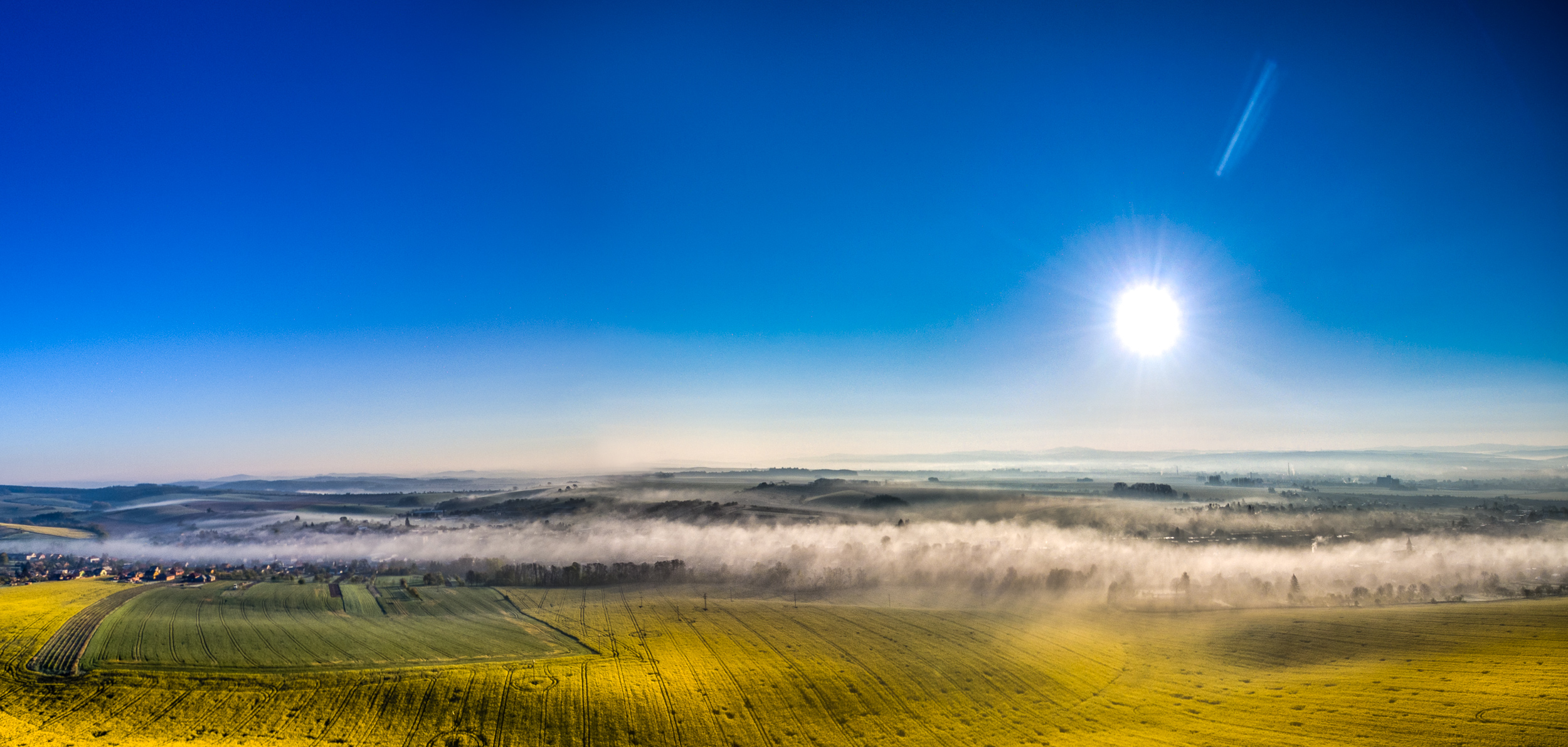
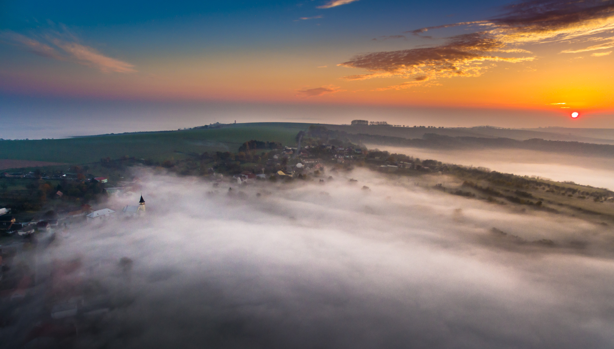
Morning mists
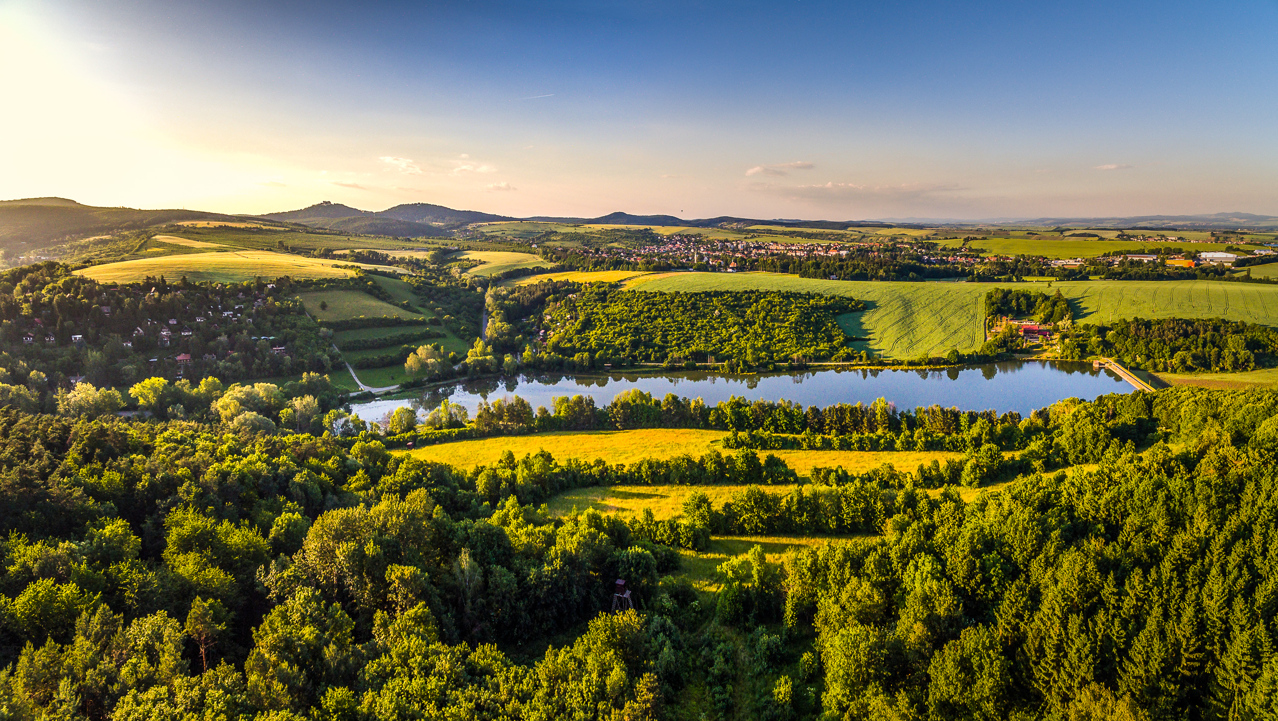
Above dam

old road in the forest
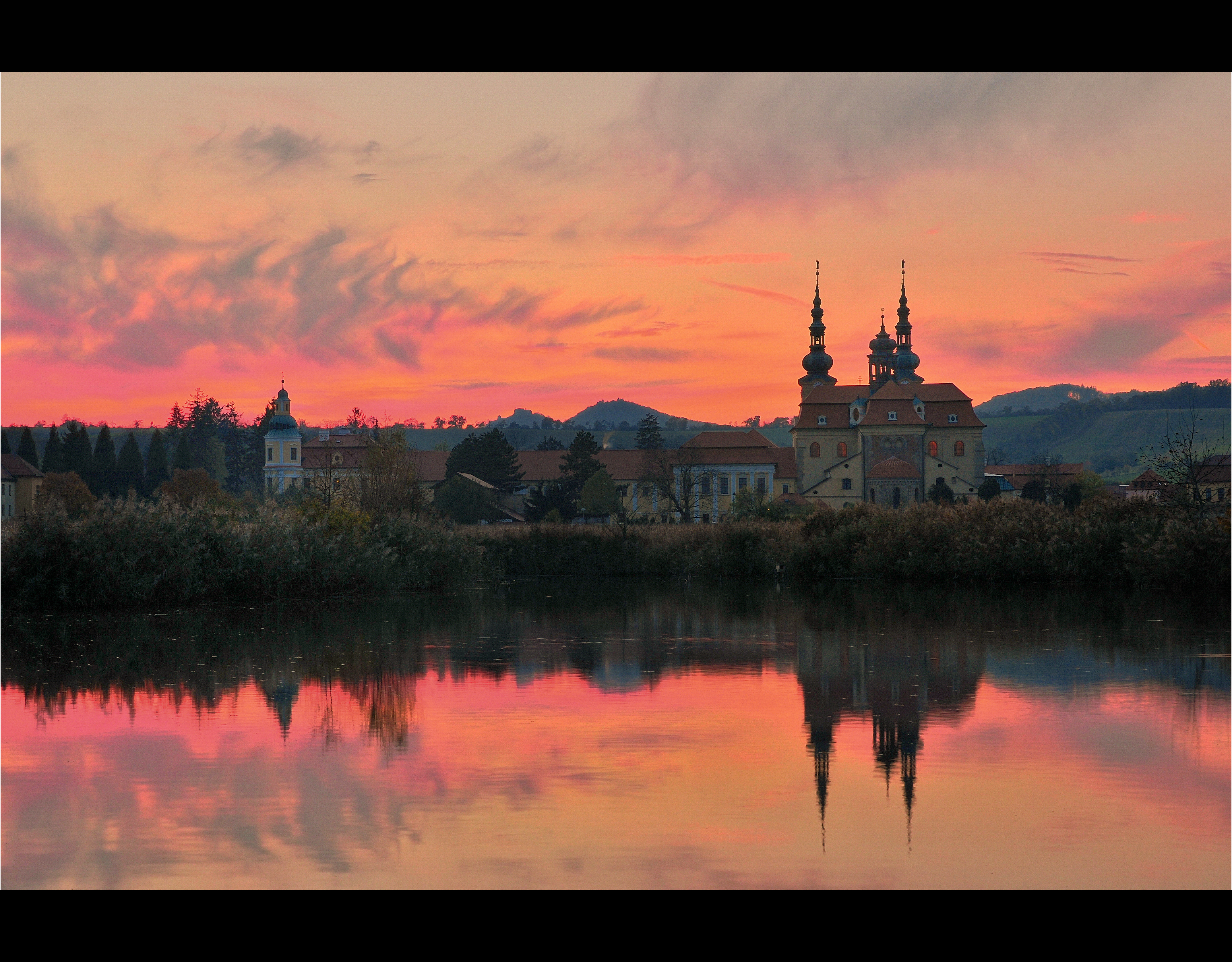
"sunset in Velehrad"
2011-01-15_15-35-00_slide-07
Veseli nad Moravou
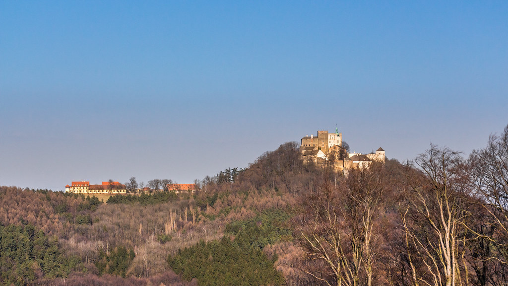
Hrad Buchlov

2011-01-15_15-28-00_slide-04

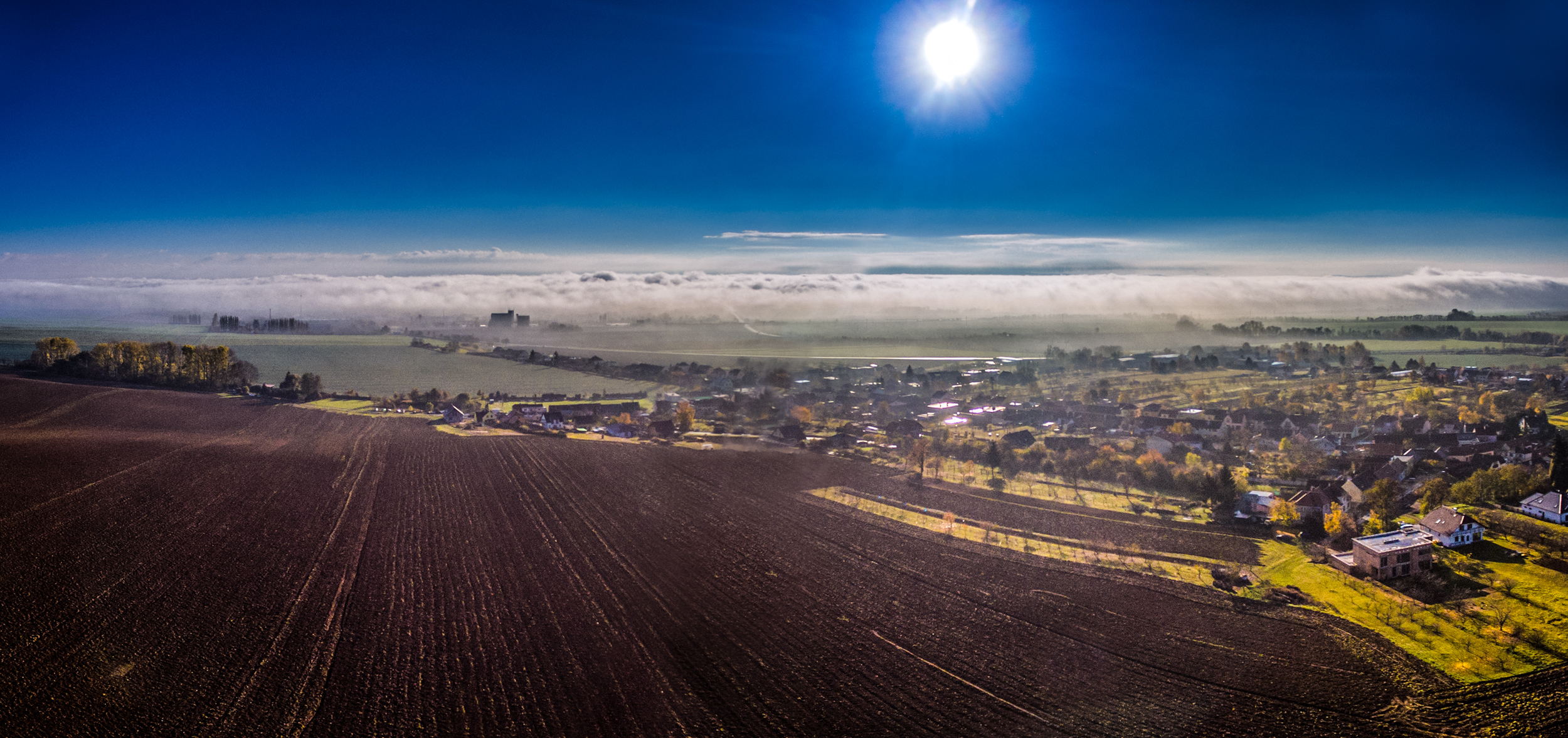
Yellow Country - 2
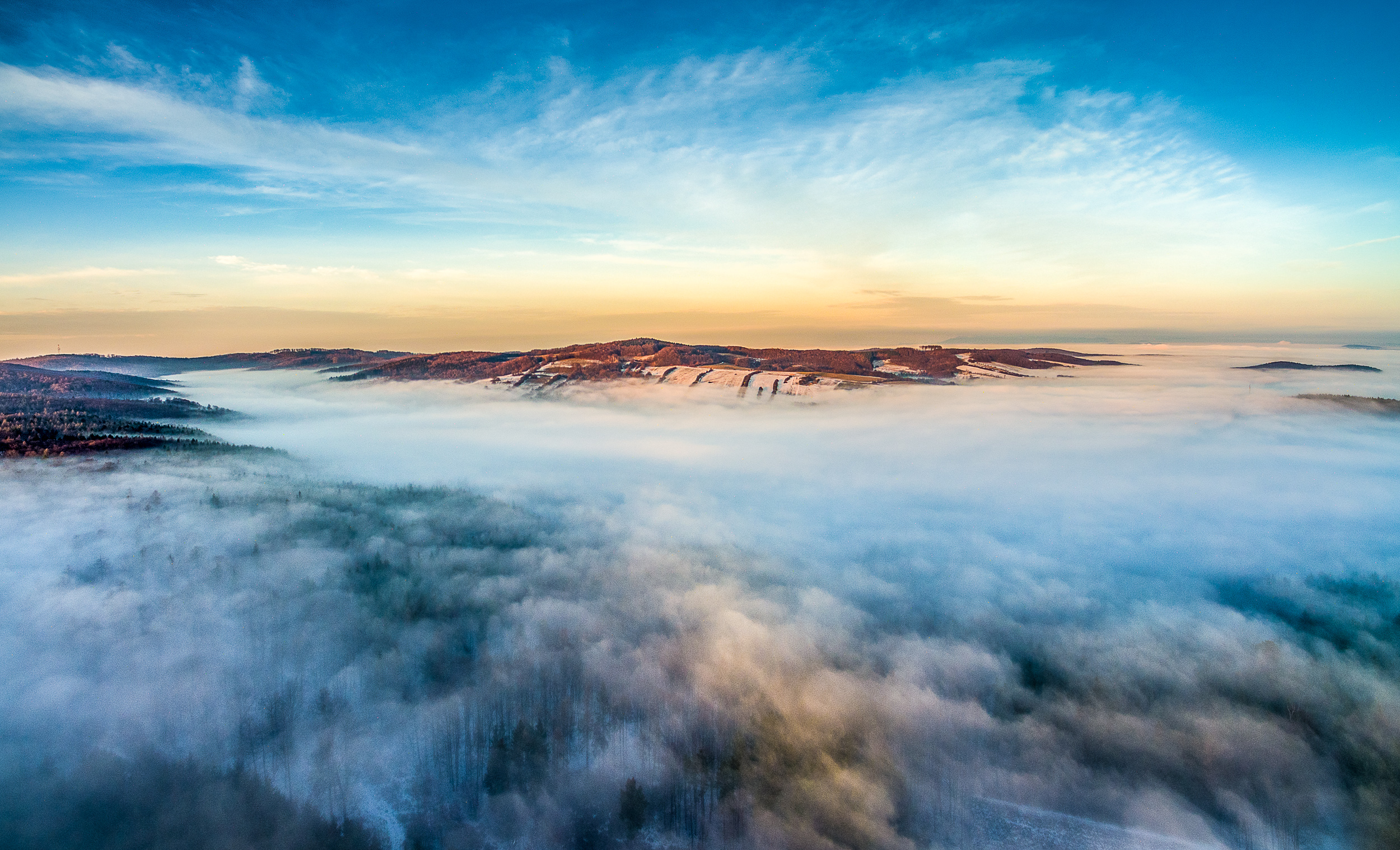
Above fog 2
Hidden village

[360 VR] Yellow Country

Green waves
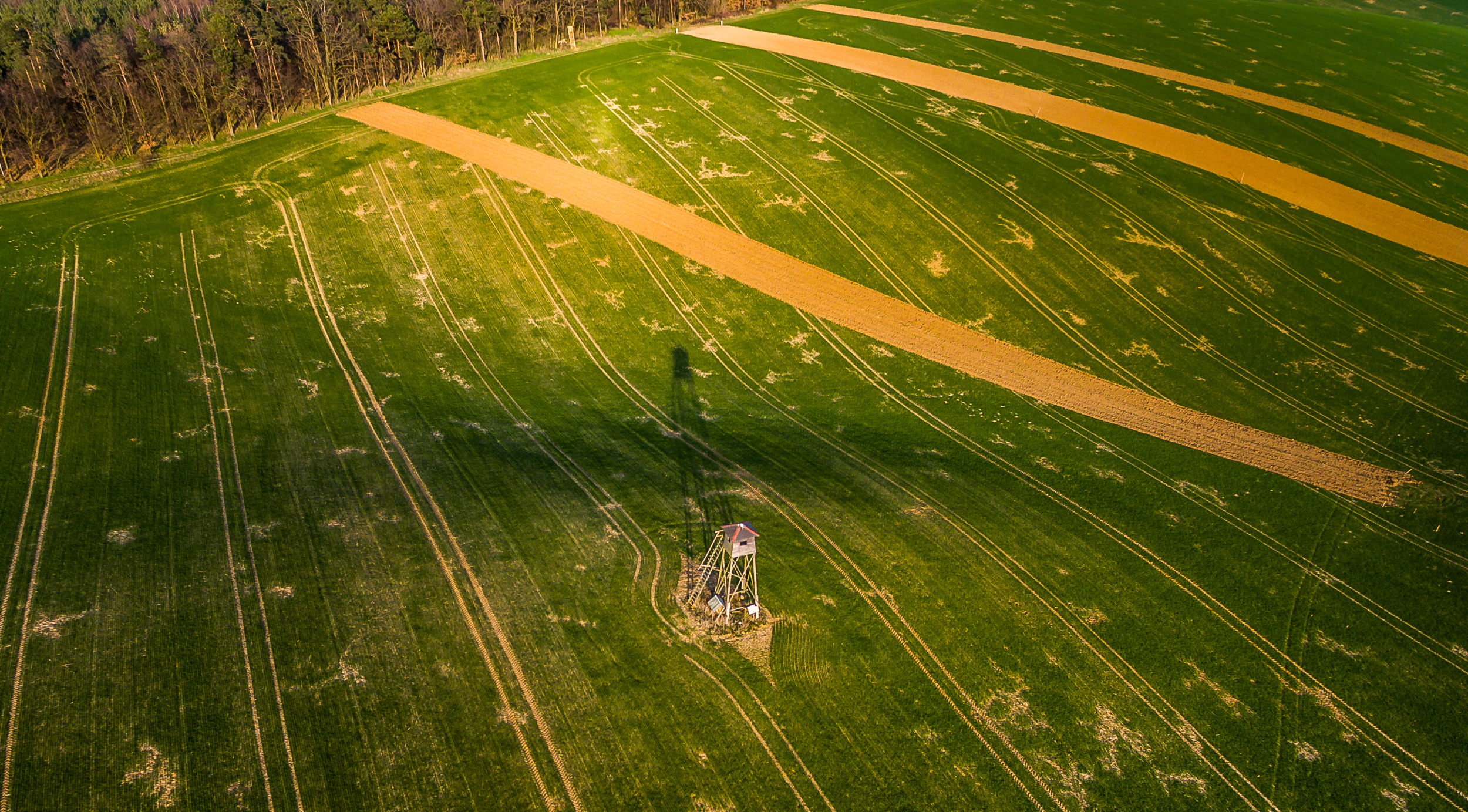
Long shadow
Where the fog ends
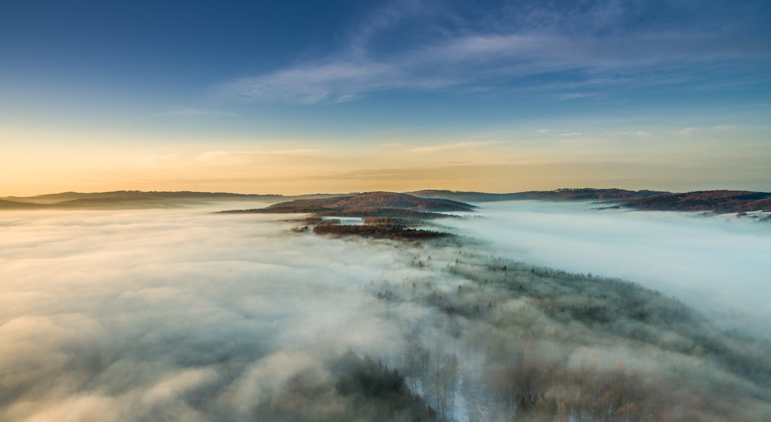
Above fog
Autumn inversion
2012-10-19 11.39.49
Topographic Map of 04 Kunovice, Czech Republic
Find elevation by address:

Places in 04 Kunovice, Czech Republic:
Places near 04 Kunovice, Czech Republic:
Novoveská, 04 Kunovice, Czech Republic
Uherske Hradiste
Rybárny
Mazůrkova, Rybárny, 01 Uherské Hradiště, Czech Republic
Štěpnická, 06 Uherské Hradiště, Czech Republic
Popovice 28, 04 Popovice, Czech Republic
Popovice
Javorovec, 12 Mistřice, Czech Republic
Javorovec
Mistřice
Bílovice
Bílovice 7, 12 Bílovice, Czech Republic
Uherske Hradiste
Louka
Kvítkovice
K. H. Máchy 20, Kvítkovice, 02 Otrokovice, Czech Republic
Svárov
Svárov 11, 12 Svárov, Czech Republic
Otrokovice
Přívoz, 81 Bzenec, Czech Republic
Recent Searches:
- Elevation of W Granada St, Tampa, FL, USA
- Elevation of Pykes Down, Ivybridge PL21 0BY, UK
- Elevation of Jalan Senandin, Lutong, Miri, Sarawak, Malaysia
- Elevation of Bilohirs'k
- Elevation of 30 Oak Lawn Dr, Barkhamsted, CT, USA
- Elevation of Luther Road, Luther Rd, Auburn, CA, USA
- Elevation of Unnamed Road, Respublika Severnaya Osetiya — Alaniya, Russia
- Elevation of Verkhny Fiagdon, North Ossetia–Alania Republic, Russia
- Elevation of F. Viola Hiway, San Rafael, Bulacan, Philippines
- Elevation of Herbage Dr, Gulfport, MS, USA