Elevation of U.S. Scn, Johnson City, TN, USA
Location: United States > Tennessee > Carter County > Central >
Longitude: -82.289234
Latitude: 36.3261102
Elevation: 508m / 1667feet
Barometric Pressure: 95KPa
Elevation Map:
Satellite Map:
Related Photos:

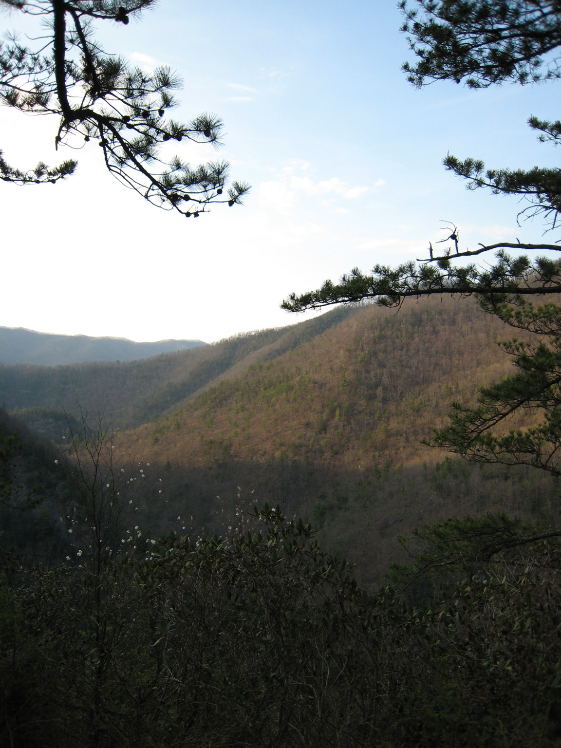
Buffalo Mountain

2013.12.27 125K Views

Watching the Game

My view - what are you looking at right now?

203 walking down path to parking lot

Buffalo Pano

Hale's Grocery

Parents view.

201 Claire on the trail

195 Trail to top of hill at rest stop in Tennessee

Great view

myspace 023
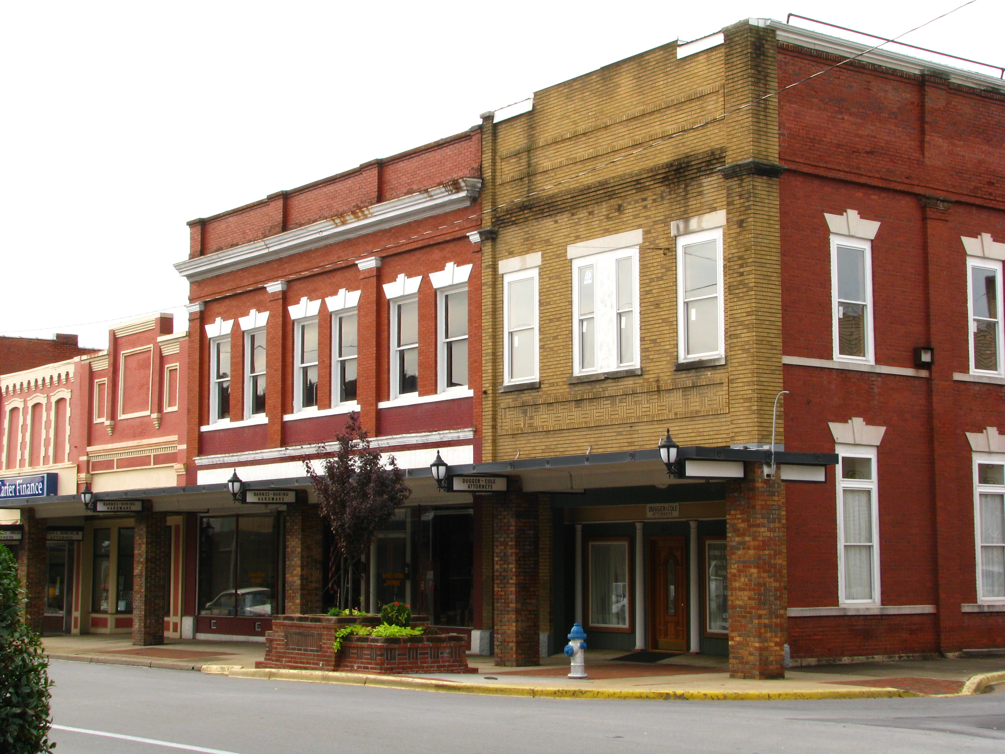
Storefronts of Historic Elizabethton - Barnes Boring Hardware
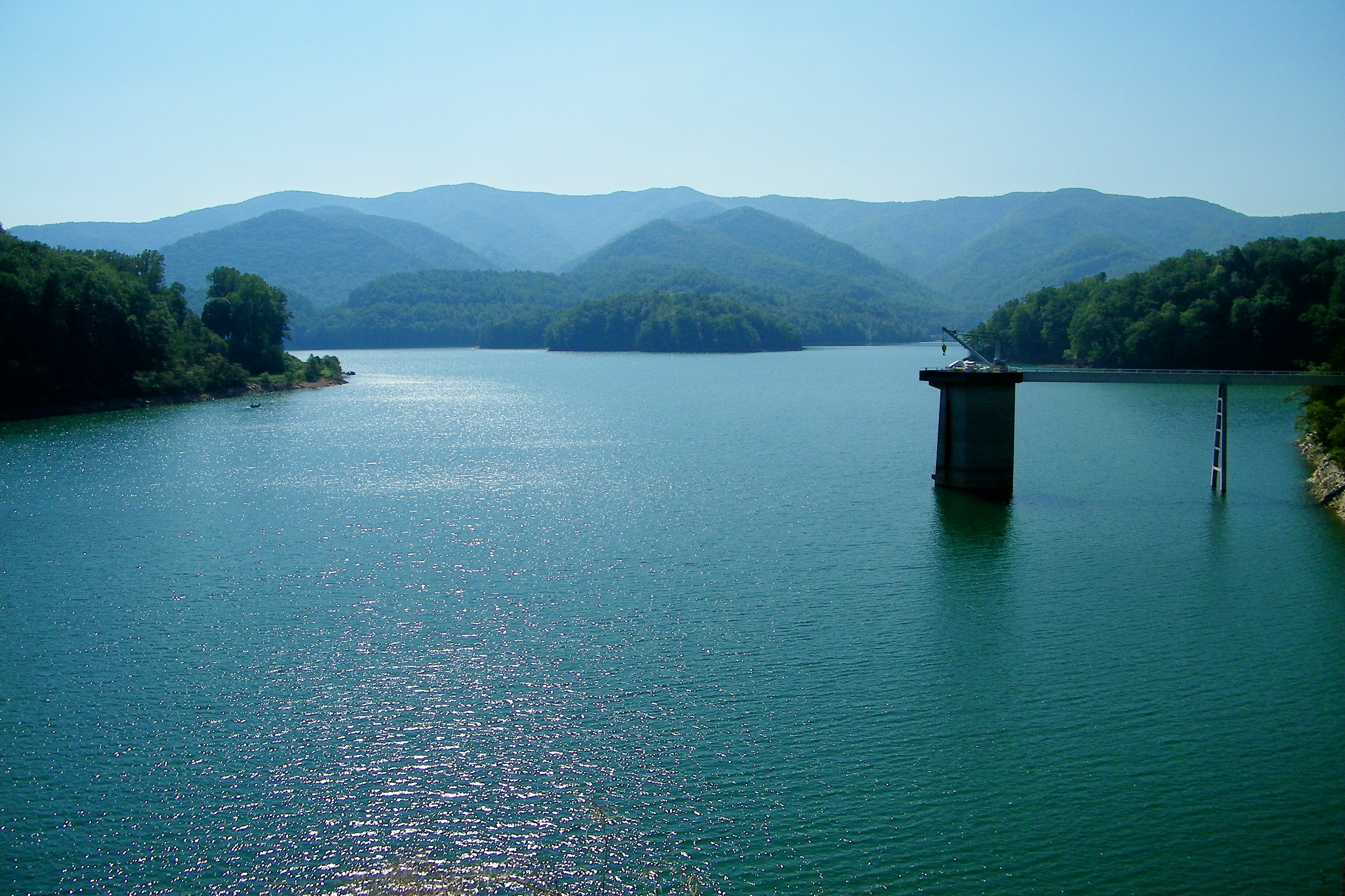
Watauga Lake

Black Bear Resort 16/16
Scenic View #2

myspace 022

May Isolation Theme Entry

197 On the trail to the top
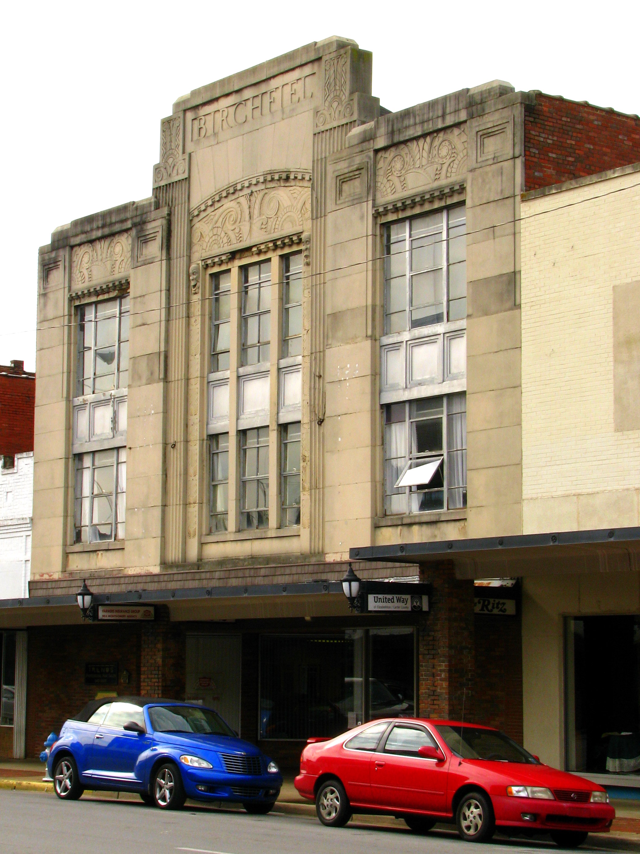
Birchfiel Building (Ritz Theater)

IMG_5044- Lake Watauga- view across to Shook Branch
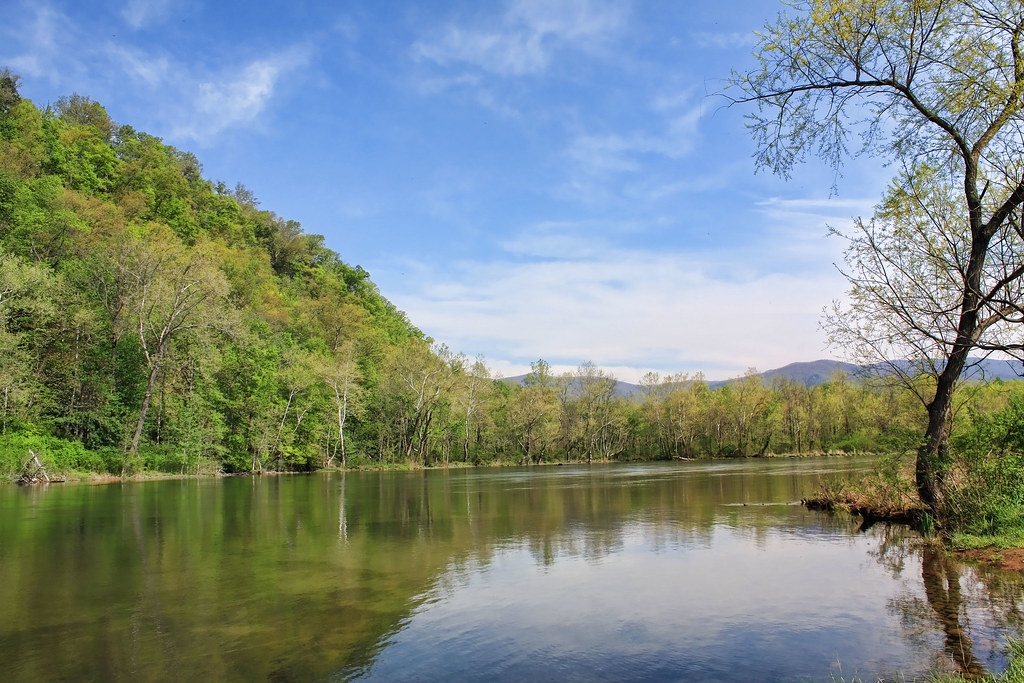
Morning on the Watauga

Watauga Lake

Elizabethon, TN

Scribbles AT Hike 2011-05-15 @ 07-35-14

Elizabethon, TN

Elizabethon, TN

Doe River Covered Bridge

Wautauga River

Pine Oaks Golf Course
Topographic Map of U.S. Scn, Johnson City, TN, USA
Find elevation by address:

Places near U.S. Scn, Johnson City, TN, USA:
Central
113 Jarrett Buck Loop
1962 Milligan Hwy
282 Sinking Creek Rd
133 Blevins
217 Cedar Grove Rd
218 Greenlee Rd
808 Quail Ridge Ct
156 Neth Dr
186 Leach Rd
Hyder House
Pine Crest
Doe Ridge Apartments
1214 King Springs Rd
184 Woodland Dr
Johnson City, TN, USA
Milligan Hwy, Johnson City, TN, USA
Watauga
129 Hughes St
Johnson City Fire Department
Recent Searches:
- Elevation of Corso Fratelli Cairoli, 35, Macerata MC, Italy
- Elevation of Tallevast Rd, Sarasota, FL, USA
- Elevation of 4th St E, Sonoma, CA, USA
- Elevation of Black Hollow Rd, Pennsdale, PA, USA
- Elevation of Oakland Ave, Williamsport, PA, USA
- Elevation of Pedrógão Grande, Portugal
- Elevation of Klee Dr, Martinsburg, WV, USA
- Elevation of Via Roma, Pieranica CR, Italy
- Elevation of Tavkvetili Mountain, Georgia
- Elevation of Hartfords Bluff Cir, Mt Pleasant, SC, USA