Elevation of Cedar Grove Rd, Johnson City, TN, USA
Location: United States > Tennessee > Carter County > Pine Crest >
Longitude: -82.302133
Latitude: 36.3096032
Elevation: 501m / 1644feet
Barometric Pressure: 95KPa
Elevation Map:
Satellite Map:
Related Photos:

Watching the Game
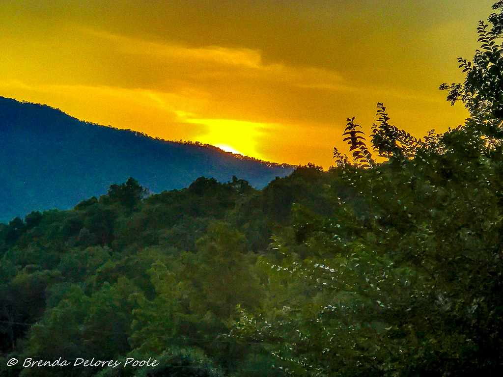
Buffalo Mountain Sunset_-1643-Edit

My view - what are you looking at right now?

203 walking down path to parking lot

Buffalo Pano

Pinnacle Mountain Fire Tower HDR Panorama
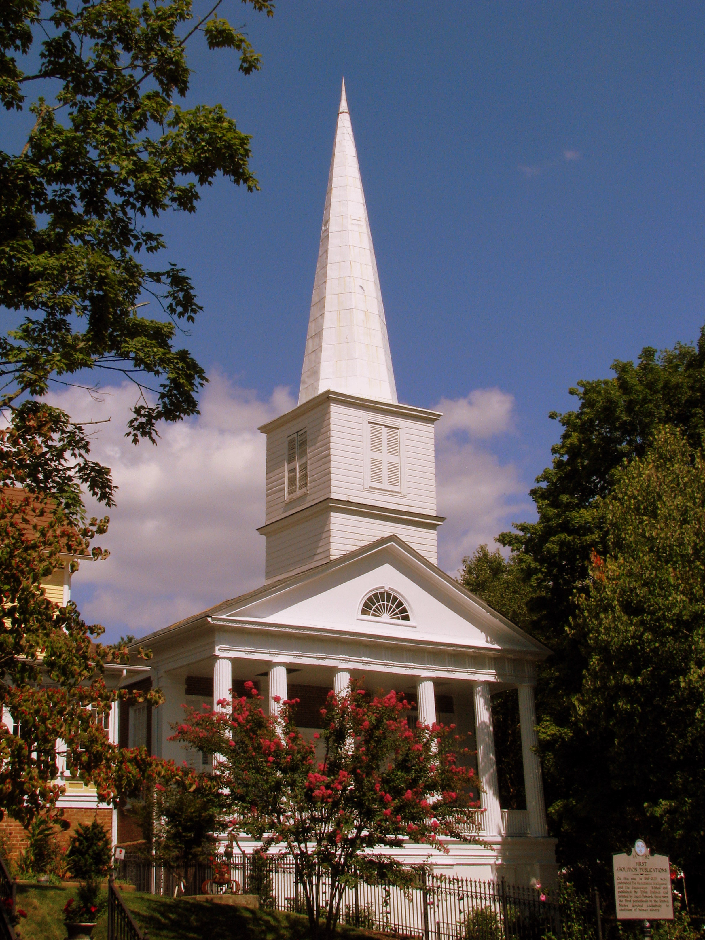
First Presbyterian Church - Jonesborough, TN
Pinnacle Mountain Lookout Tower

201 Claire on the trail

First Presbyterian Church - Jonesborough, TN

195 Trail to top of hill at rest stop in Tennessee
Parents view.
Storefronts of Historic Elizabethton - Barnes Boring Hardware

May Isolation Theme Entry
Johnson City Country Club
Birchfiel Building (Ritz Theater)
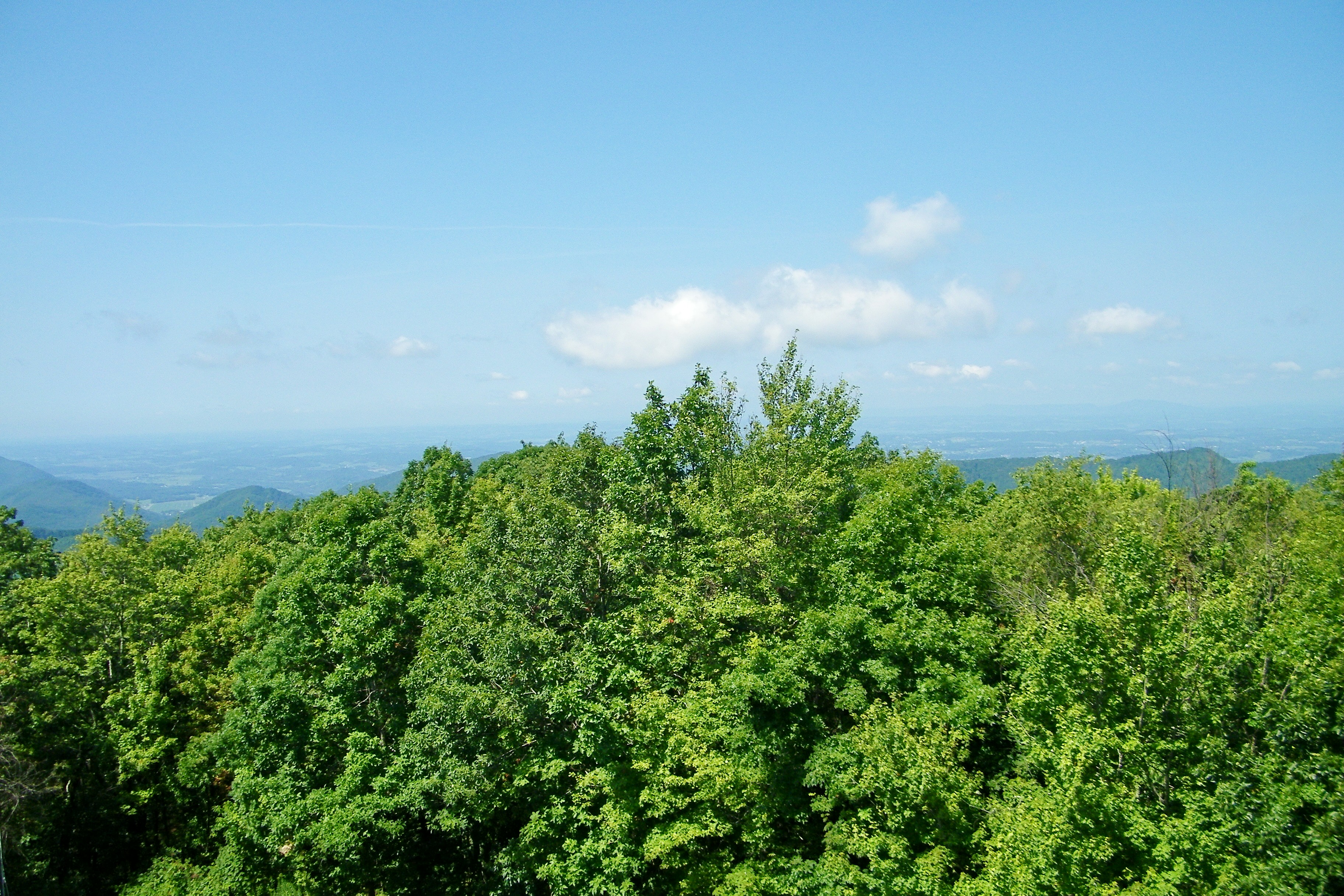
Great view

myspace 022

IMG_5044- Lake Watauga- view across to Shook Branch

My view today

myspace 020

Pine Oaks Golf Course

Doe River Covered Bridge
RED BARN
Morning on the Watauga
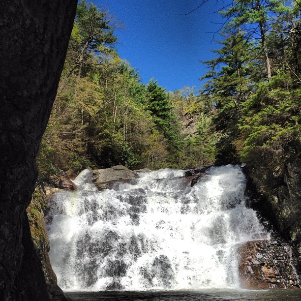
Laurel Fork Falls, Appalachian NST, TN

Laurel Falls

#firetower #pinnacle #Unicoi #forecast #weatherforecast

Wautauga River
Shook Branch Recreation Area, Hampton, TN
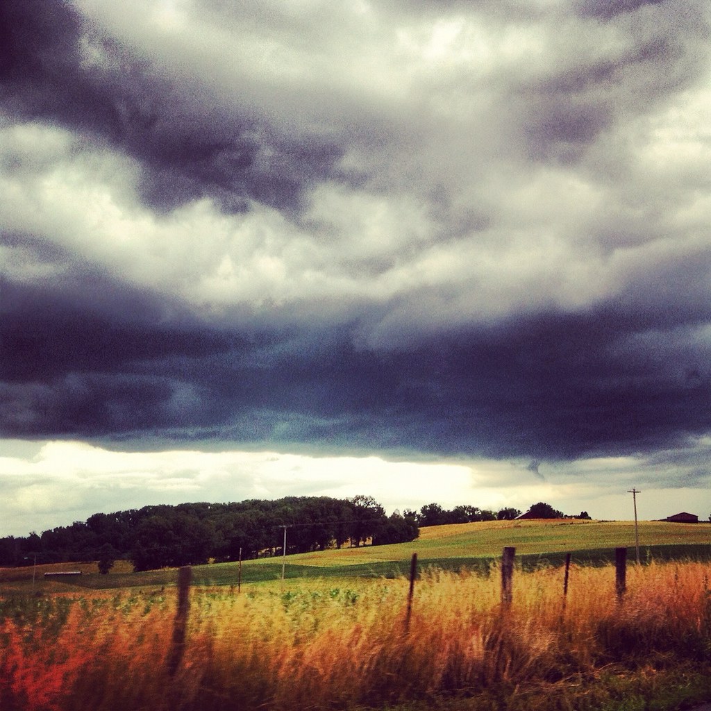
Weather Up Ahead

Johnson City Country Club

Wetenschap Heuvel
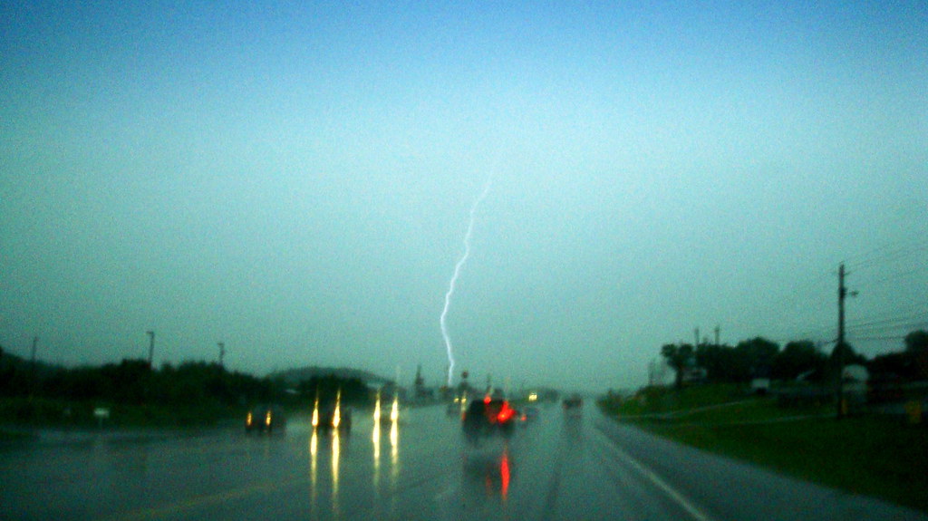
2009.06.18.01 Lightning
north of Laurel Fork Falls, Appalachian NST, Hampton, TN2
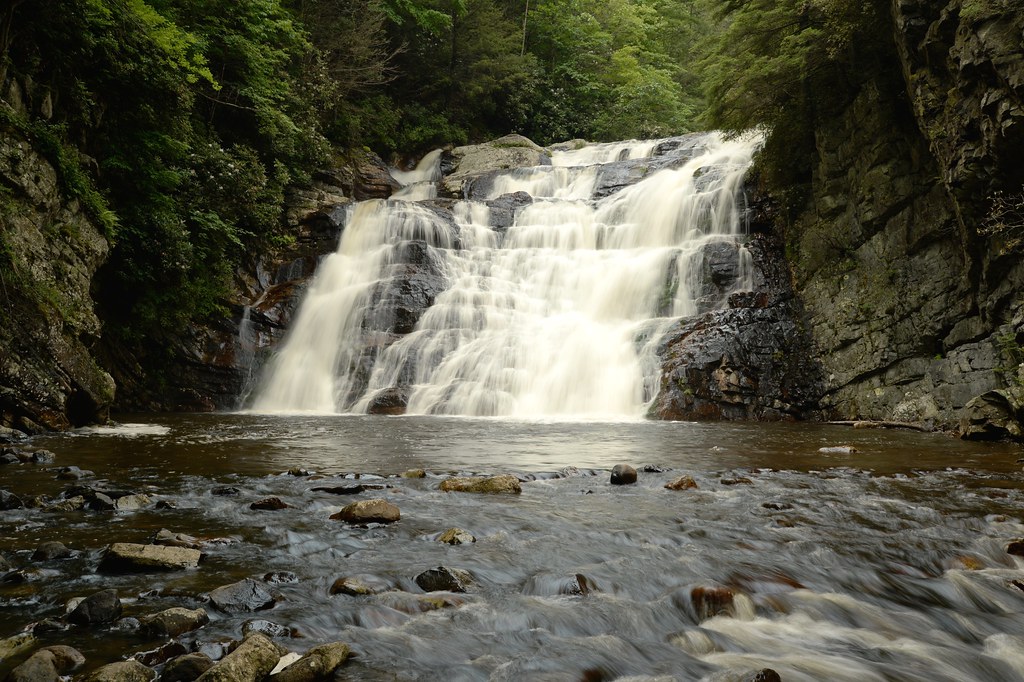
Laurel Fork Falls
Laurel Falls, on the Appalachian Trail.
Topographic Map of Cedar Grove Rd, Johnson City, TN, USA
Find elevation by address:

Places near Cedar Grove Rd, Johnson City, TN, USA:
Pine Crest
156 Neth Dr
Hyder House
218 Greenlee Rd
184 Woodland Dr
113 Jarrett Buck Loop
Doe Ridge Apartments
Central
U.S. Scn, Johnson City, TN, USA
1214 King Springs Rd
808 Quail Ridge Ct
186 Leach Rd
Milligan Hwy, Johnson City, TN, USA
1962 Milligan Hwy
282 Sinking Creek Rd
124 Old Watson Rd
133 Blevins
Johnson City Fire Department
508 Okolona Rd
Johnson City, TN, USA
Recent Searches:
- Elevation of Leguwa, Nepal
- Elevation of County Rd, Enterprise, AL, USA
- Elevation of Kolchuginsky District, Vladimir Oblast, Russia
- Elevation of Shustino, Vladimir Oblast, Russia
- Elevation of Lampiasi St, Sarasota, FL, USA
- Elevation of Elwyn Dr, Roanoke Rapids, NC, USA
- Elevation of Congressional Dr, Stevensville, MD, USA
- Elevation of Bellview Rd, McLean, VA, USA
- Elevation of Stage Island Rd, Chatham, MA, USA
- Elevation of Shibuya Scramble Crossing, 21 Udagawacho, Shibuya City, Tokyo -, Japan