Elevation of Milligan Hwy, Elizabethton, TN, USA
Location: United States > Tennessee > Carter County > Elizabethton >
Longitude: -82.277214
Latitude: 36.3198447
Elevation: 452m / 1483feet
Barometric Pressure: 96KPa
Elevation Map:
Satellite Map:
Related Photos:
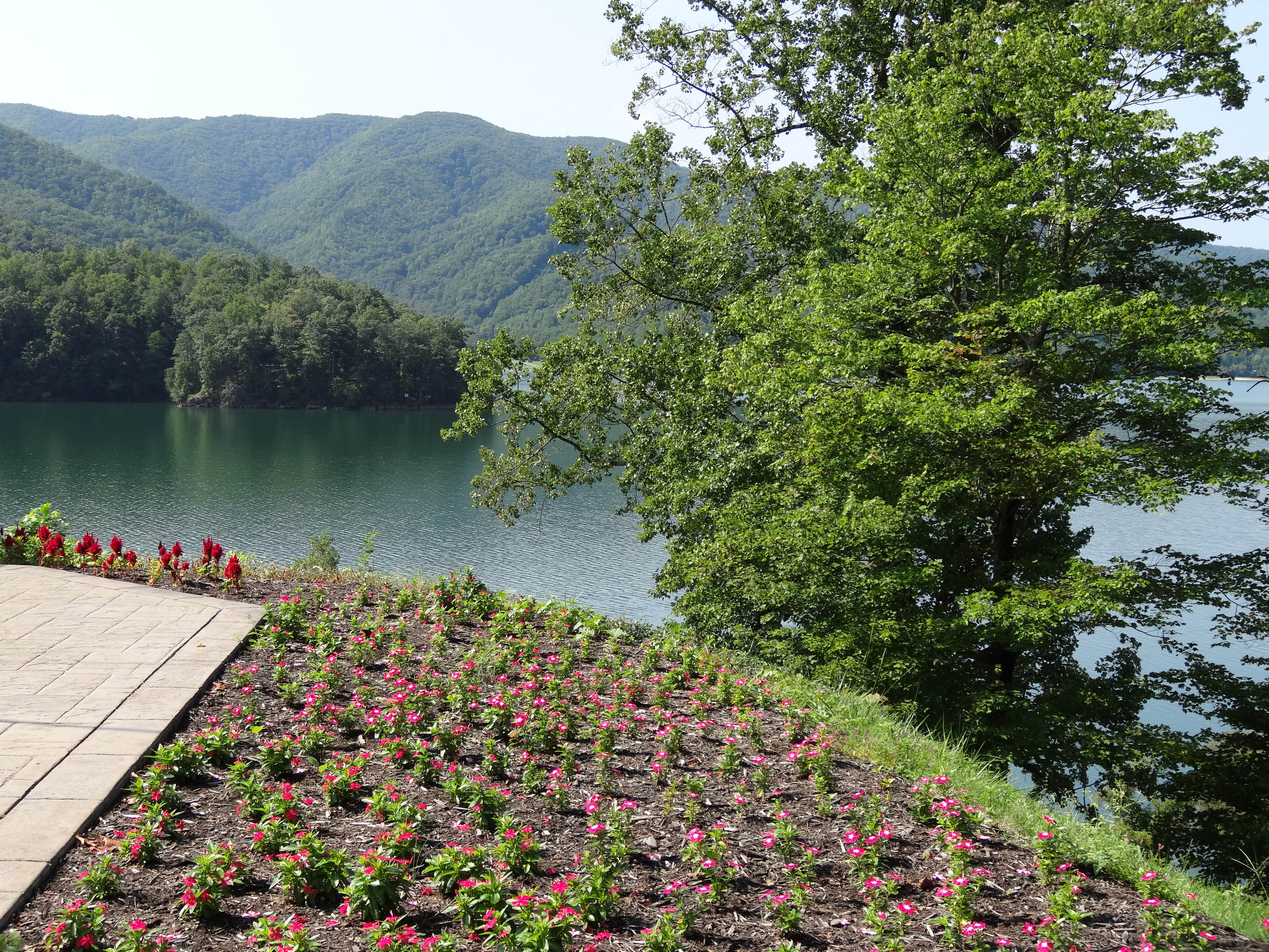
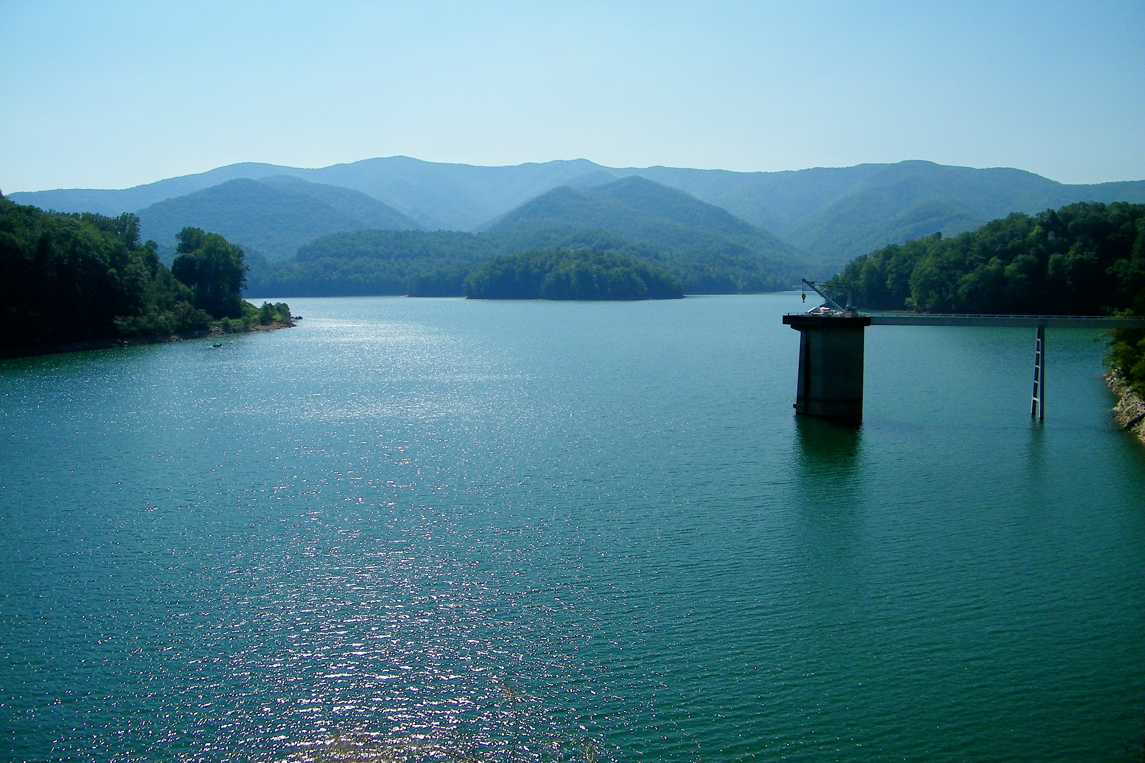
Watauga Lake, Carter County, TN

Watching the Game

Watauga Lake, Carter County, TN5
Watauga Lake, Carter County, TN3

Watauga Lake, Carter County, TN
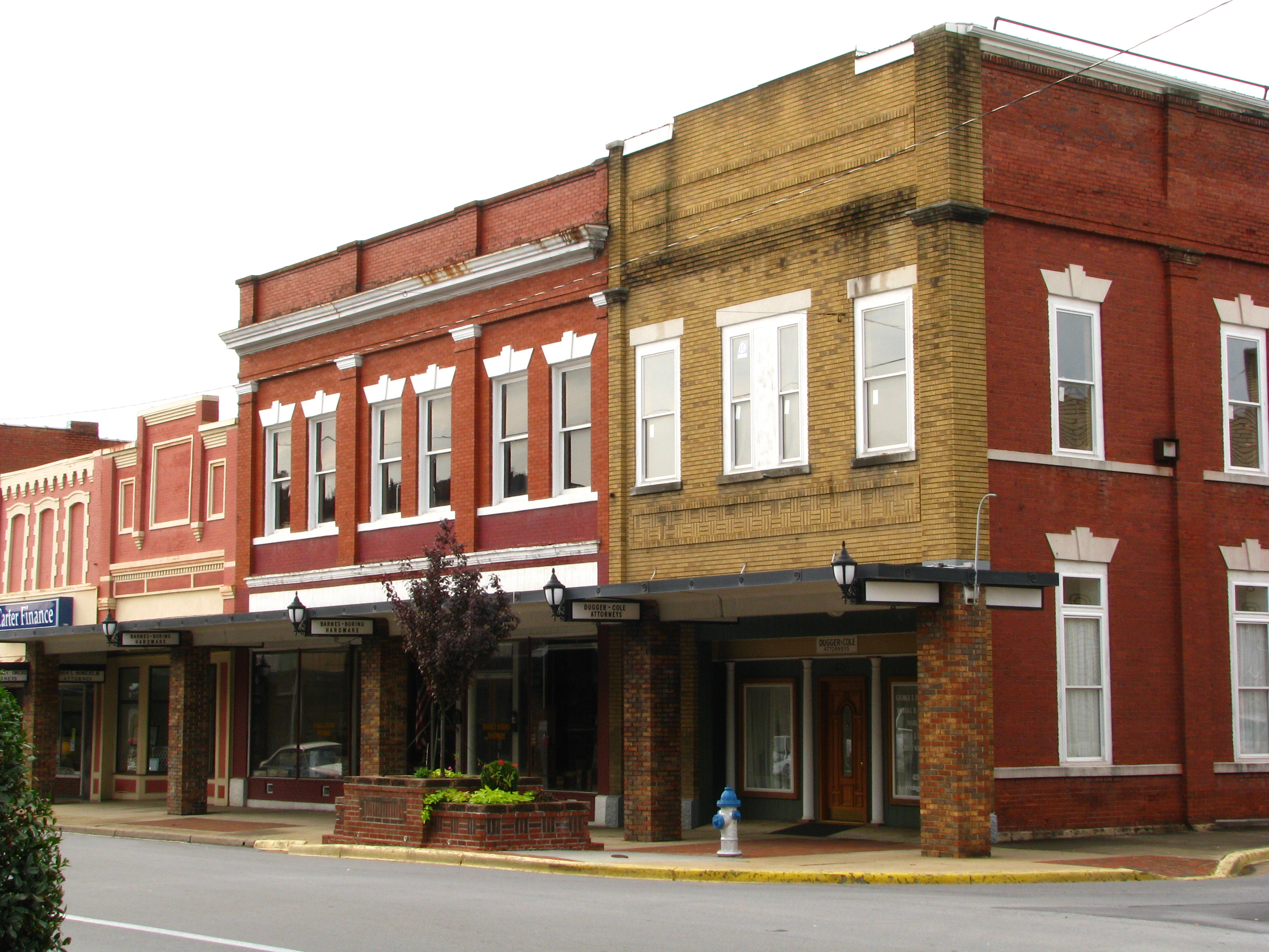
Storefronts of Historic Elizabethton - Barnes Boring Hardware
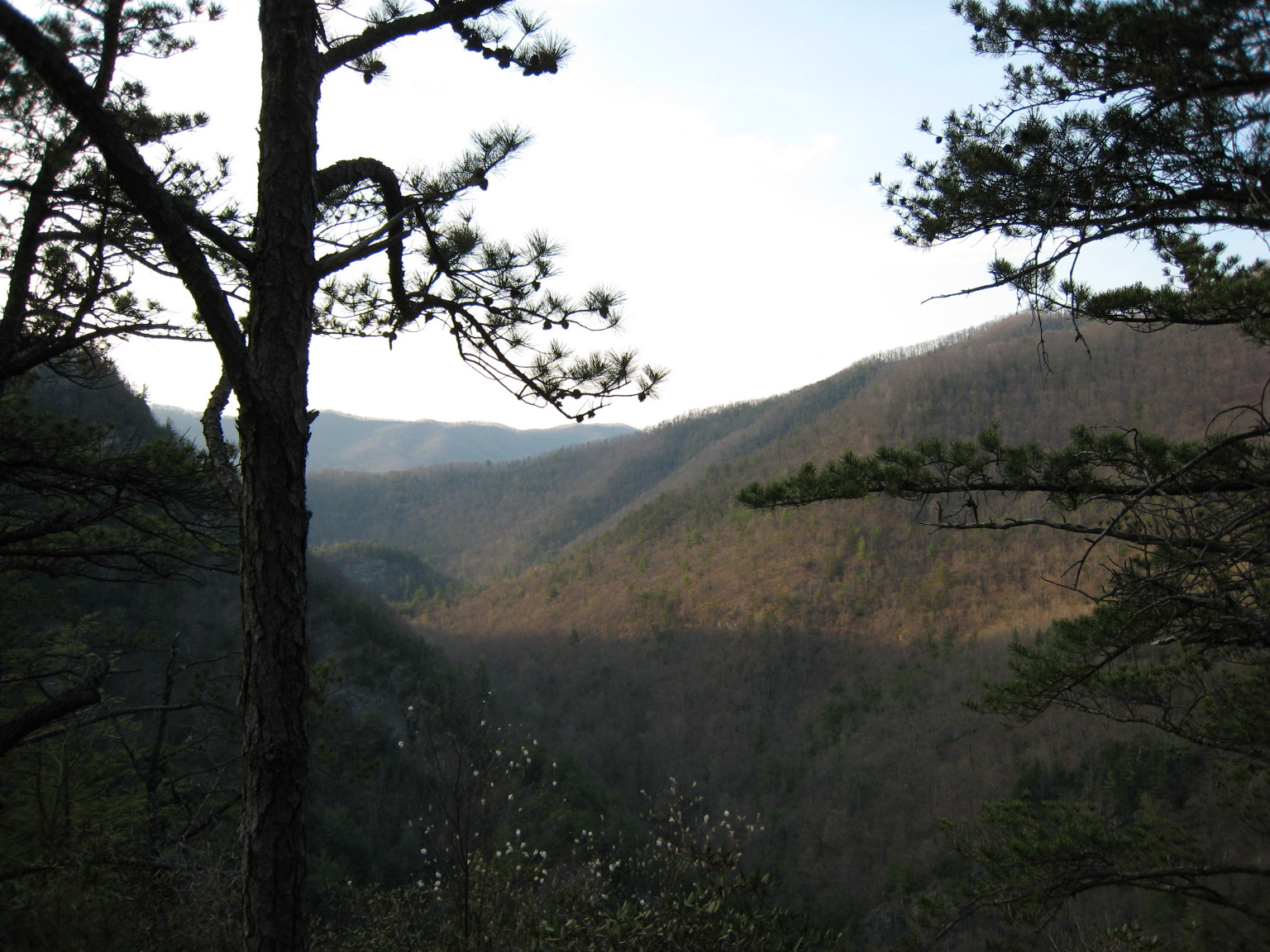
Scenic View #2
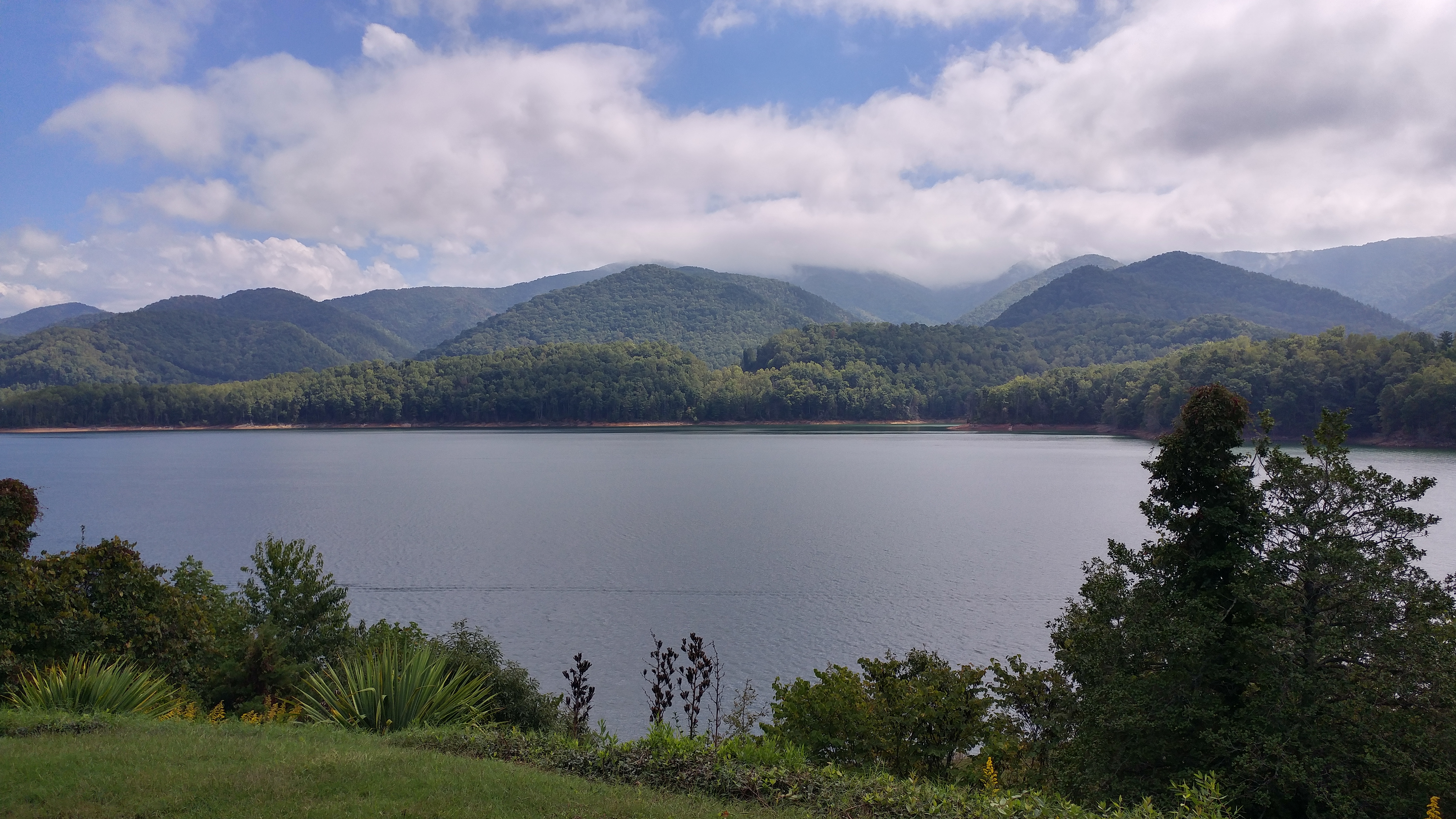
Watauga Lake

Black Bear Resort 16/16

myspace 022
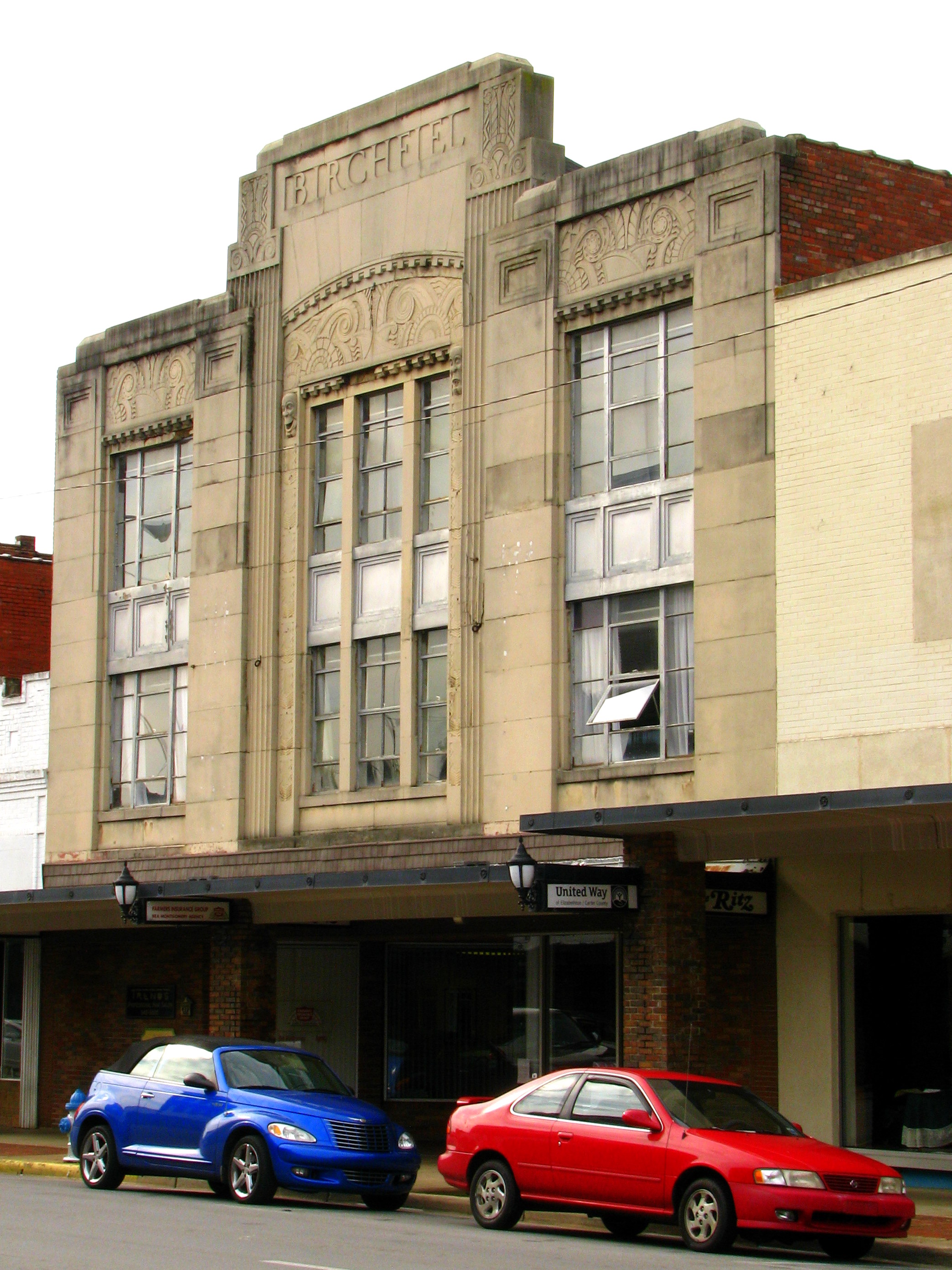
Birchfiel Building (Ritz Theater)

IMG_5044- Lake Watauga- view across to Shook Branch
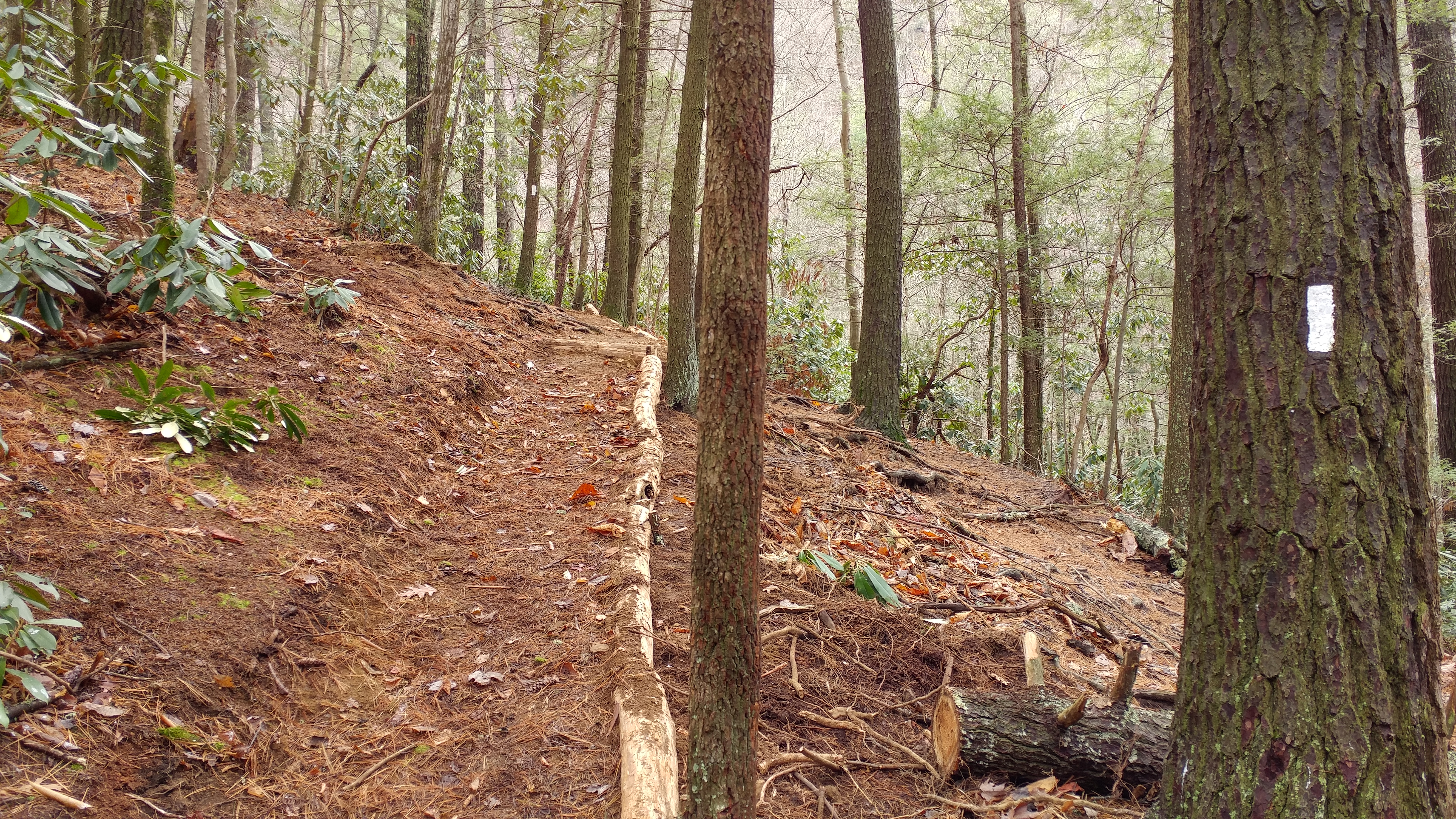
Appalachian Trail

myspace 020
Watauga Lake Dam
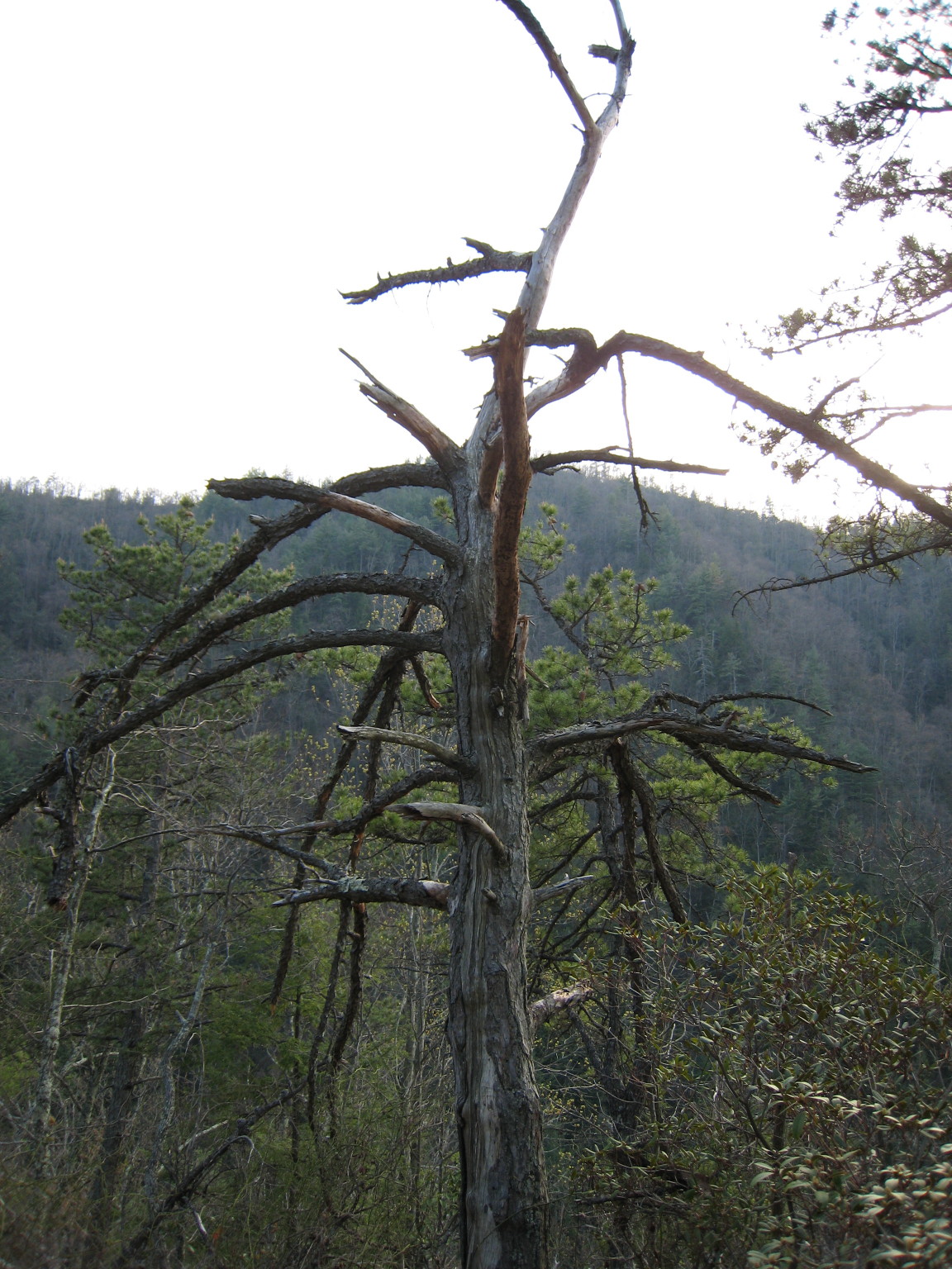
Dead Tree
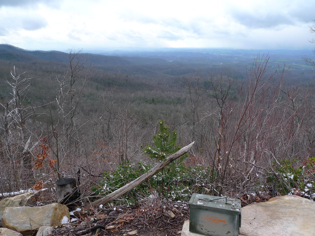
Ammo box and a View
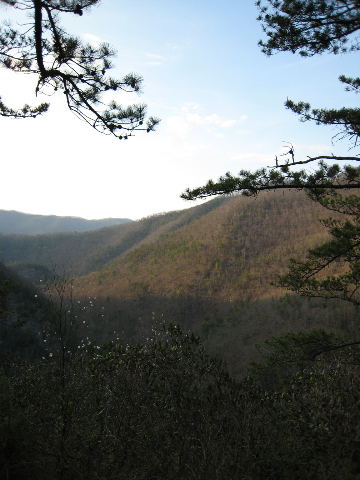
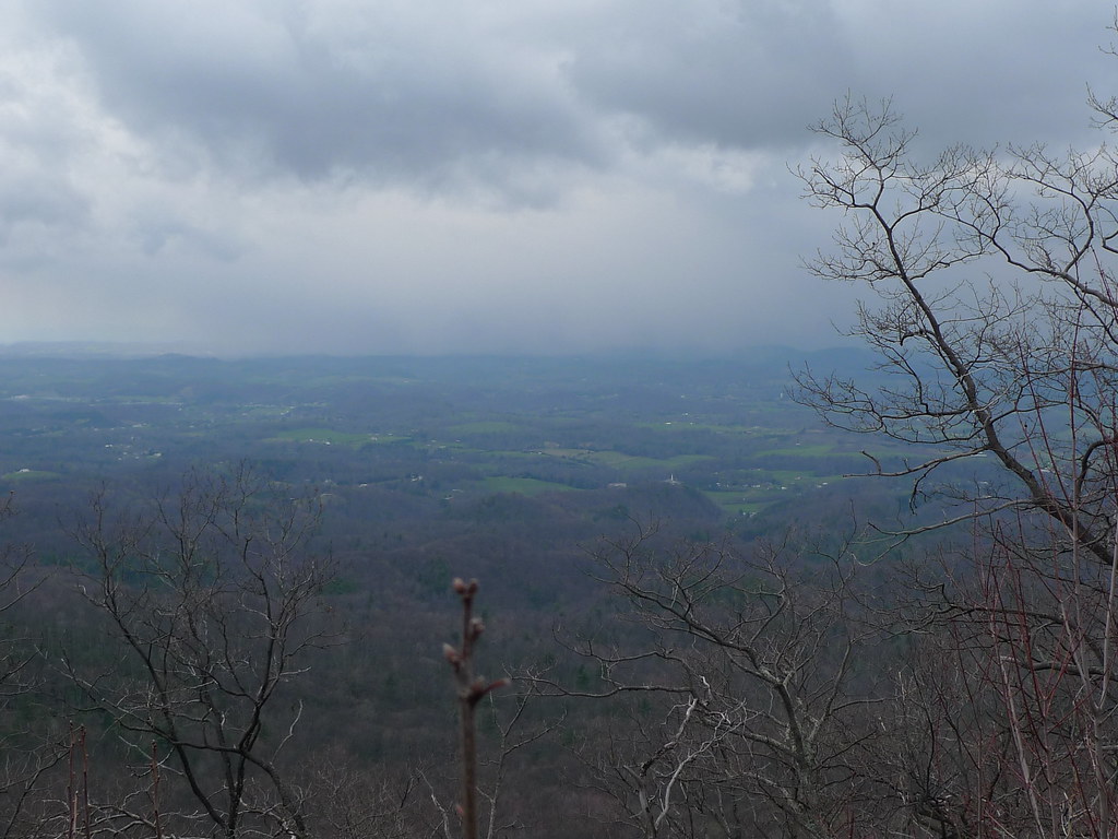
Scenic View #1
What a view

myspace 021
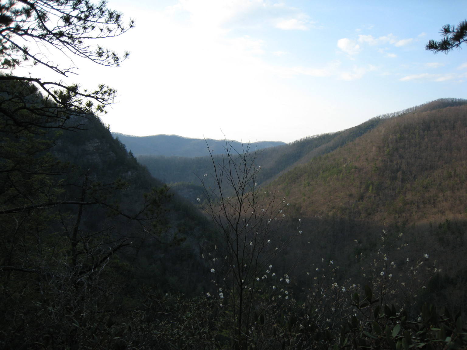
Scenic View #3

Watauga Lake

Watauga Lake at Night
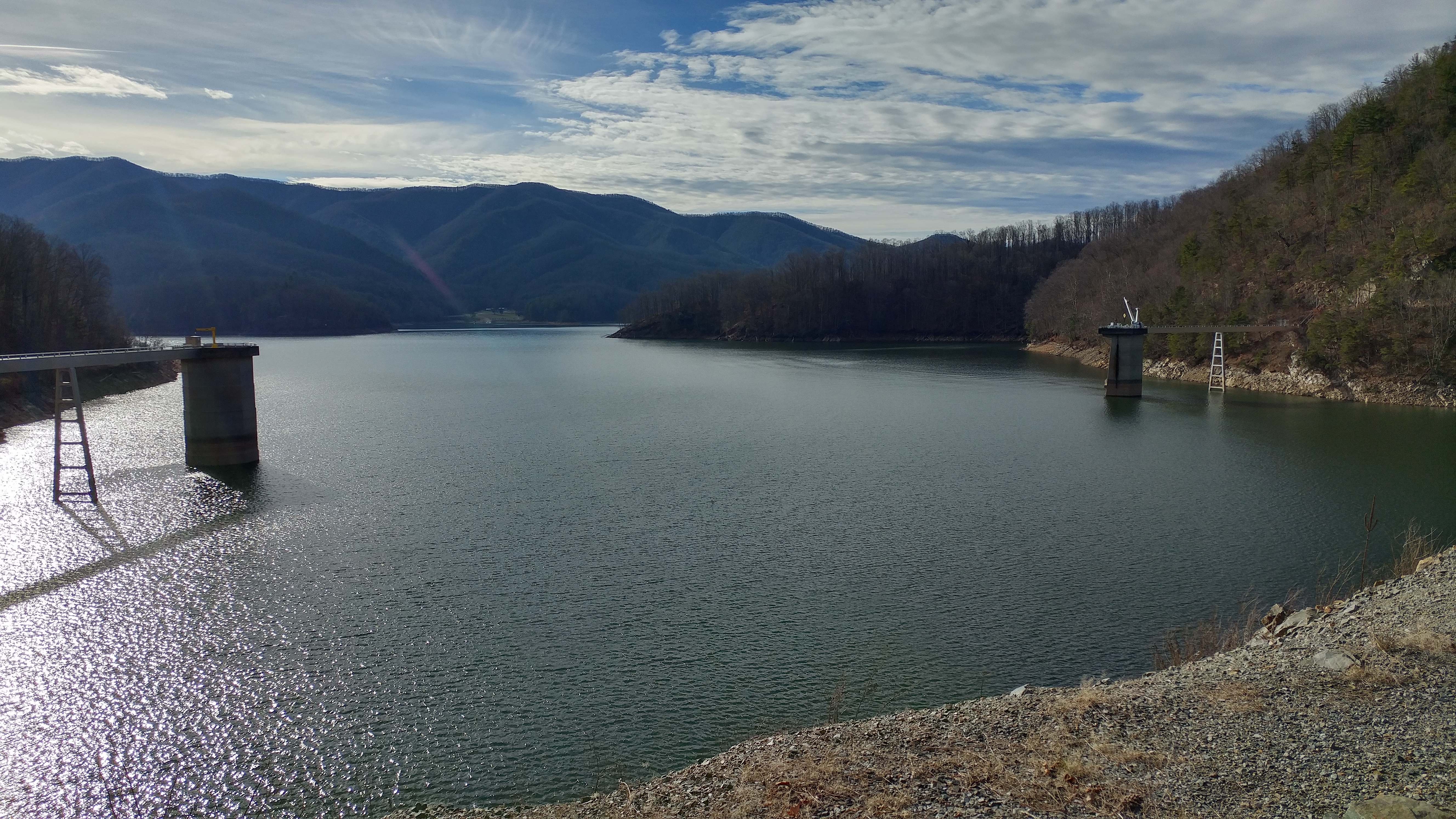
Watauga Dam, Appalachian NST, Carter County, TN2
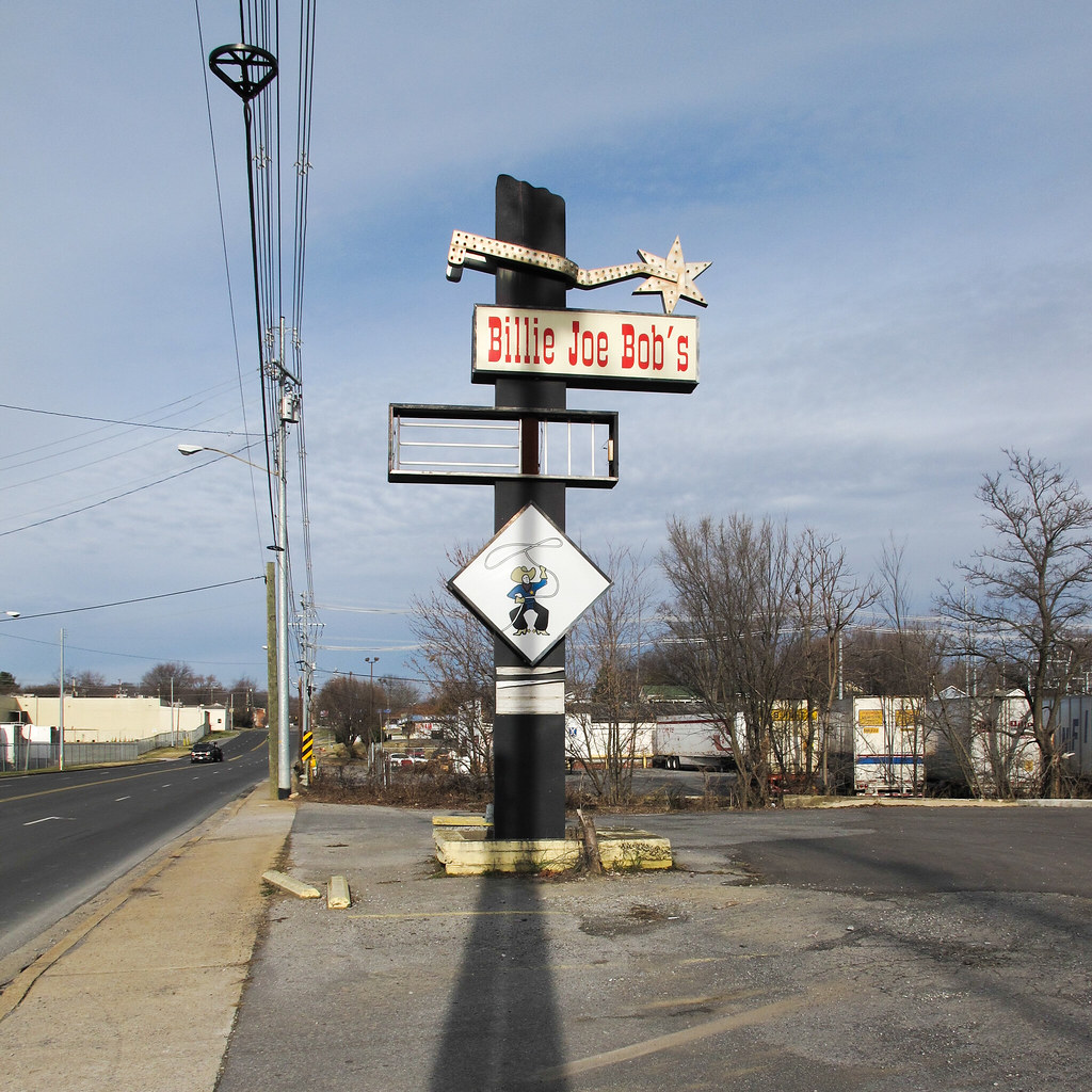
Cowboy drinking establishment of this urbanized region of the southern Appalachians.
Wilbur Dam Rd, Appalachian NST, TN2

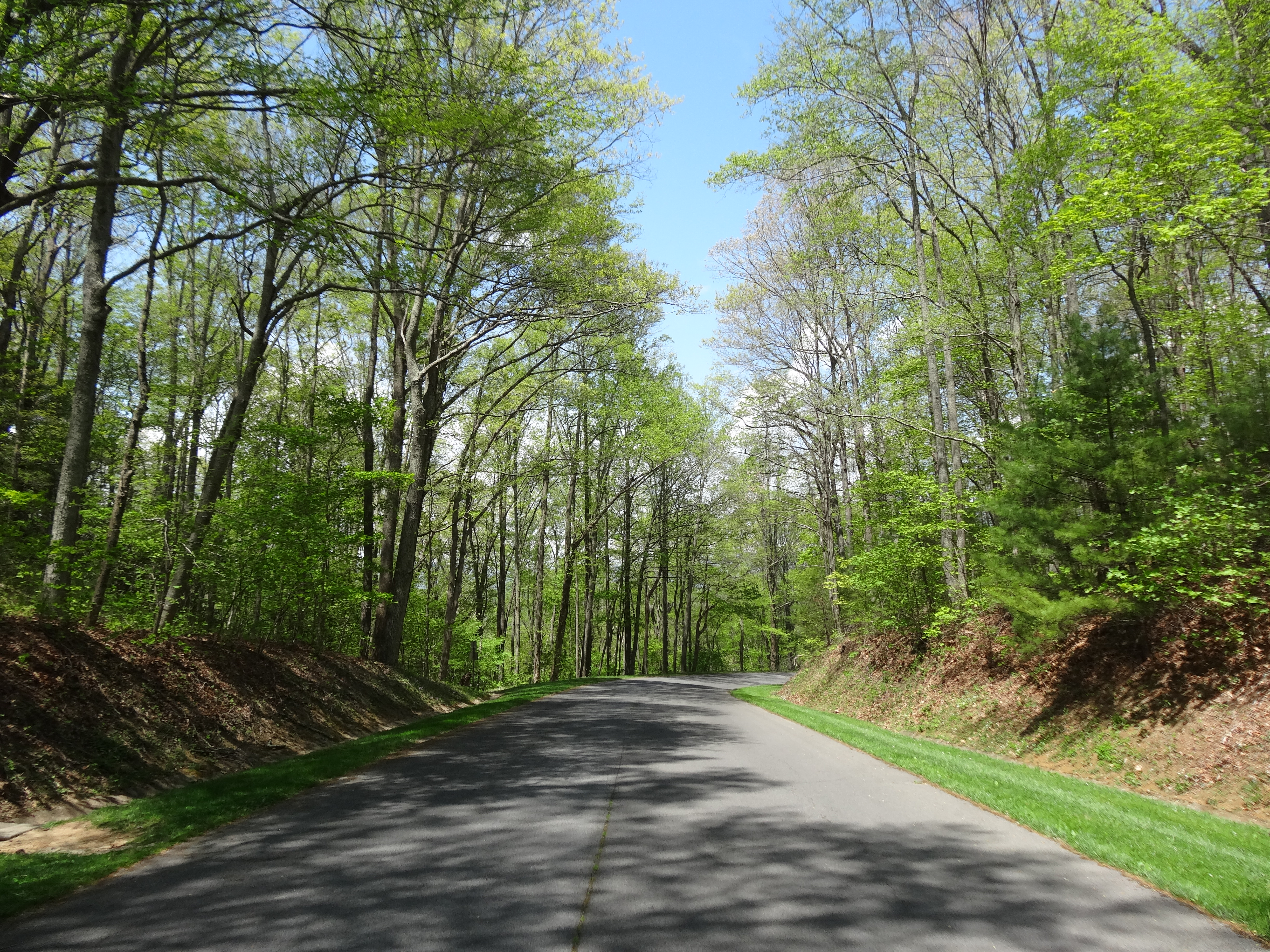
203 walking down path to parking lot
north of Laurel Fork Falls, Appalachian NST, Hampton, TN2
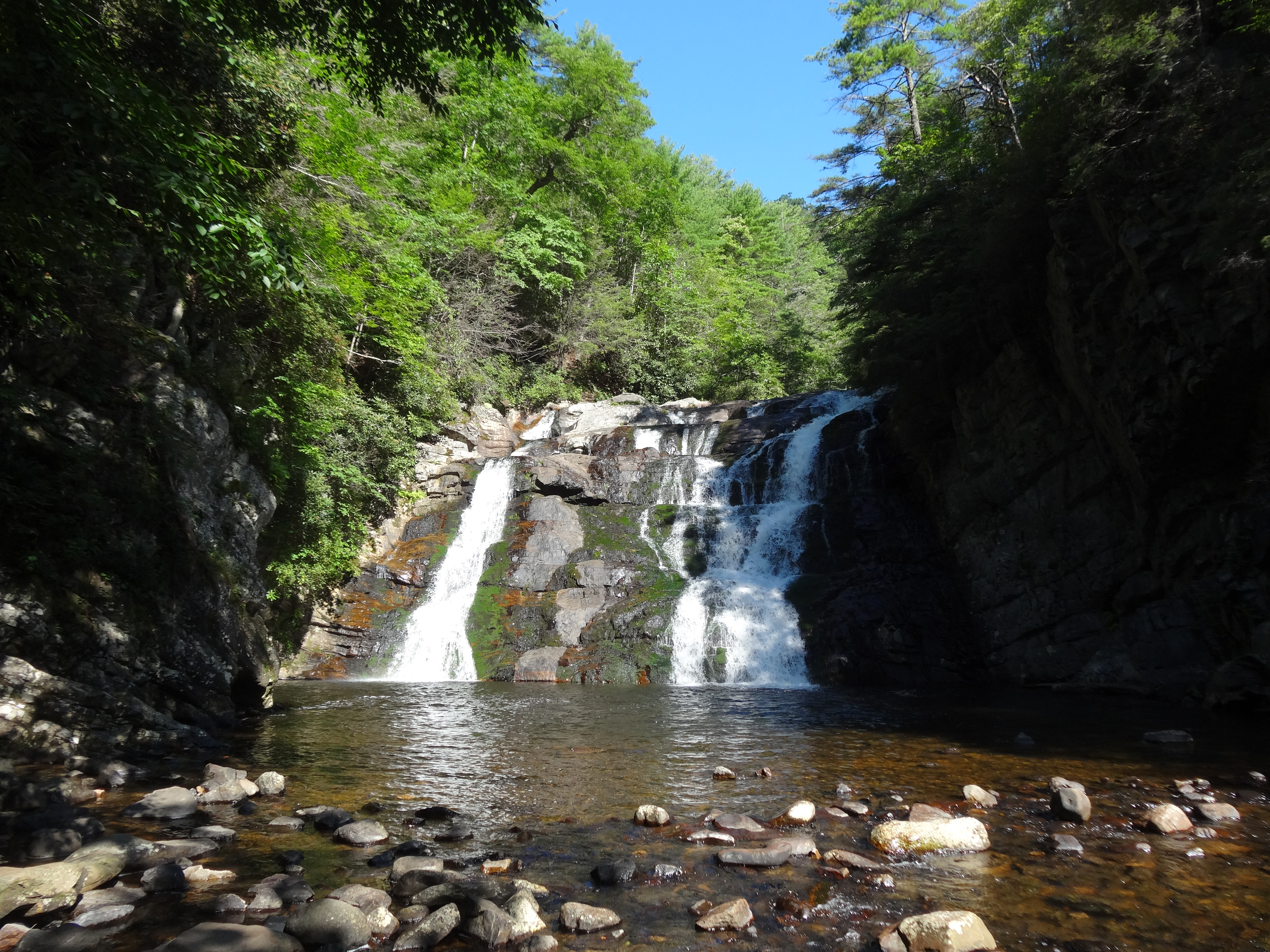
Laurel Fork Falls, Appalachian NST, TN

Doe River Covered Bridge
Morning on the Watauga
near Dennis Cove Rd, Appalachian NST, Hampton, TN2

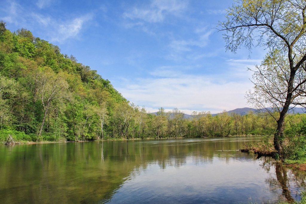
Wautauga River

Pine Oaks Golf Course

#firetower #pinnacle #Unicoi #forecast #weatherforecast
Topographic Map of Milligan Hwy, Elizabethton, TN, USA
Find elevation by address:

Places near Milligan Hwy, Elizabethton, TN, USA:
133 Blevins
808 Quail Ridge Ct
U.S. Scn, Johnson City, TN, USA
Central
186 Leach Rd
156 Neth Dr
113 Jarrett Buck Loop
217 Cedar Grove Rd
Hyder House
282 Sinking Creek Rd
218 Greenlee Rd
Pine Crest
Doe Ridge Apartments
184 Woodland Dr
427 Laurels Rd
1214 King Springs Rd
Johnson City, TN, USA
Milligan Hwy, Johnson City, TN, USA
120 Leedham Ln
Watauga
Recent Searches:
- Elevation of Hercules Dr, Colorado Springs, CO, USA
- Elevation of Szlak pieszy czarny, Poland
- Elevation of Griffing Blvd, Biscayne Park, FL, USA
- Elevation of Kreuzburger Weg 13, Düsseldorf, Germany
- Elevation of Gateway Blvd SE, Canton, OH, USA
- Elevation of East W.T. Harris Boulevard, E W.T. Harris Blvd, Charlotte, NC, USA
- Elevation of West Sugar Creek, Charlotte, NC, USA
- Elevation of Wayland, NY, USA
- Elevation of Steadfast Ct, Daphne, AL, USA
- Elevation of Lagasgasan, X+CQH, Tiaong, Quezon, Philippines