Elevation of Twin Point Cove Rd, Cambridge, MD, USA

Location: United States > Maryland > Dorchester County > 7, Cambridge > Cambridge >

Longitude: -76.267272

Latitude: 38.6087909

Elevation: 0m / 0feet

Barometric Pressure: 101KPa

Elevation Map:

elevation map of Twin Point Cove Rd, Cambridge, MD, USA

Satellite Map:

Satellite map of Twin Point Cove Rd, Cambridge, MD, USA

Related Photos:

academic animalia atlanticsturgeon dorchestercounty fieldguide fish hornpointlaboratory kentcounty md maryland rockhall umces universityofmarylandcenterforenvironmentalscienceumces animals atlsturgeonfieldguide environment nature sturgeon wildlife unitedstates camera:model=canoneos5dmarkiv exif:model=canoneos5dmarkiv camera:make=canon geocity geostate exif:lens=ef2470mmf28lusm geo:country=unitedstates exif:focallength=43mm exif:isospeed=6400 exif:aperture=ƒ28 exif:make=canon
Horn Point Laboratory in Dorchester County, Md.
water marina reflections sailing sunsets maryland easternshore boating nautical sailboats chesapeake tilghman chesapeakebay tilghmanisland knappsnarrowsmarina charactersbridgerestaurant
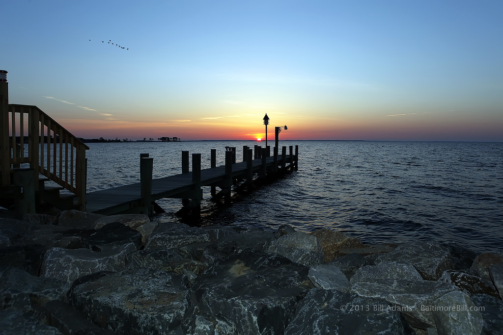
Knapps Narrows Sunset
laurensphotography lauren3838photography nikon d700 md maryland tilghman tilghmanisland talbotcounty easternshore chesapeakebay catchycolorsyellow landscape knappsnarrows boats sunset goldenhour tamron150600
Sparkling Narrows
cambridge july erica 4thofjuly independenceday 2008 independenceday2008 cambridge2008 setcambridge2008
24 - Eric - 20080704
bird podicepsnigricollis
Eared Grebe
cambridge river md geocaching choptank
Small public beach
cambridge maryland unitedstates us
No Common Name
cambridge maryland unitedstates us
No Common Name
cambridge july 4thofjuly independenceday 2008 independenceday2008 cambridge2008 setcambridge2008
14 - The Neighbors' boats - 20080704
cow 6ws maryland goat easternshore oxford bovine canonef100400mmf4556lisusm talbotcounty dutchbeltedcattle dutchbeltedgoat
Agent Billy's Bleating Was Raising Suspicions
View of the Choptank River
school architecture md interior dorchester
Interior view, Castle Haven School at Spocott Windmill
oxfordmd uploaded:by=flickrmobile flickriosapp:filter=nofilter
Oxford, MD
cambridge sunset clouds river geotagged maryland easternshore tidal chesapeake dorchester cloudscape choptank skyascanvas
Clouds over the Choptank
cambridge water july 4thofjuly independenceday 2008 independenceday2008 cambridge2008 setcambridge2008
20 - A view across the river - 20080704
cambridge maryland unitedstates us
No Common Name
cambridge house june river fishing md little cove rental maryland 2009 choptank fishingcove
Cambridge - Fishing Cove - View From Fishing Pier
cambridge mike water boat casey july erica 4thofjuly independenceday 2008 independenceday2008 cambridge2008 setcambridge2008
49 - The boat goes out one last time - 20080705
cambridge water dock july 4thofjuly independenceday 2008 shanon independenceday2008 cambridge2008 setcambridge2008
23 - Shannon on the Dock - 20080704
county water sailboat island bay harbor boat photo md sailing pentax picture maryland landmark easternshore historic national captain marker historical wade dogwood fleet capt waterman chesapeake murphy talbot tilghman skipjack k10d oystering rebeccatruark 4285ed1
Chesapeake Bay Skipjack Fleet Historical Marker
cambridge game july 4thofjuly independenceday 2008 likeminds independenceday2008 cambridge2008 setcambridge2008
33 - Like Minds - 20080705
maryland 1855 hdr xe1 fujifilmxe1
Maryland Eastern Shore-2
clouds shadow girl woman beach cyndi girlfriend
Relating to the shadow
maryland 1855 hdr xe1 fujifilmxe1
Maryland Eastern Shore-6
laurensphotography lauren3838photography talbotcounty tilghman tilghmanisland maryland md easternshore chesapeakebay nikon birds sunset waterscape knappsnarrows landscape marshlands catchycolorsyellow ilovenature nature clouds
Returning home
laurensphotography lauren3838photography kayak tilghmanisland tilghman maryland md talbotcounty paddle boat sunset easternshore chesapeakebay knappsnarrows waterscape water landscape clouds nikon sky nature rural birds d750 fx tamron2875mm
Quiet paddle in the Narrows
dorchestercounty harriettubman harriettubmanundergroundrailroadbyway harriettubmanundergroundrailroadnationalhistoricalpark md maryland people environment unitedstates exif:focallength=24mm camera:model=canoneos5dmarkii camera:make=canon geocity exif:model=canoneos5dmarkii geo:state=md geo:country=unitedstates exif:aperture=ƒ10 exif:lens=ef24105mmf4lisusm exif:isospeed=200 exif:make=canon
Harriet Tubman Underground Railroad Byway in Dorchester County, Md.
laurensphotography lauren3838photography landscape boats crabbing watermen workboats tilghman tilghmanisland talbotcounty easternshore knappsnarrows chesapeakebay md maryland nikon d700 boating rural
Magic moment, and friends
winter snow texture abandoned field architecture barn rural landscape farm rustic snowcovered tilghmanisland talbotcounty explored stmichaelsmaryland textureoverlay textureeffects zunikoff
Old Cold and Broken
sunrise pier maryland easternshore canonef2470mmf28lusm tilghman tilghmanisland talbotcounty birdblackwalnutpointinn
Sunrise From Tilghman Island
usa denali
SHARP GRASS AND LOW CLOUDS
usa maryland denali
SHARP GRASS AND LOW CLOUDS
looking South
Edge Creek Wedding
square squareformat iphoneography instagramapp uploaded:by=instagram
#sunset #tilghmanisland
sunset water md nikon shore oxford eastern oxfordmisc
sunrise oby-2
laurensphotography lauren3838photography oysters boats watermen boating knappsnarrows tilghman tilghmanisland md maryland workboats talbotcounty chesapeakebay easternshore sunset waterscape landscape water winter d700 nikon
Oyster workboat, December 2014
clouds cyndi woman shadow
She and her shadow
sky nature clouds sunrise landscape ilovenature bay md nikon pastel maryland wetlands tilghman chesapeakebay waterscape tilghmanisland tamron2875mm28 talbotcounty knappsnarrows d700 laurensphotography lauren3838photography
Placid pastel
Edge Creek
2013-07-06 20.17.17