Elevation of Hudson Wharf Rd, Cambridge, MD, USA
Location: United States > Maryland > Dorchester County > 8, Neck >
Longitude: -76.254616
Latitude: 38.591807
Elevation: 1m / 3feet
Barometric Pressure: 101KPa
Elevation Map:
Satellite Map:
Related Photos:
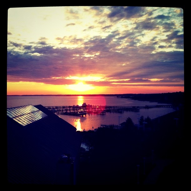
View from my room
24 - Eric - 20080704
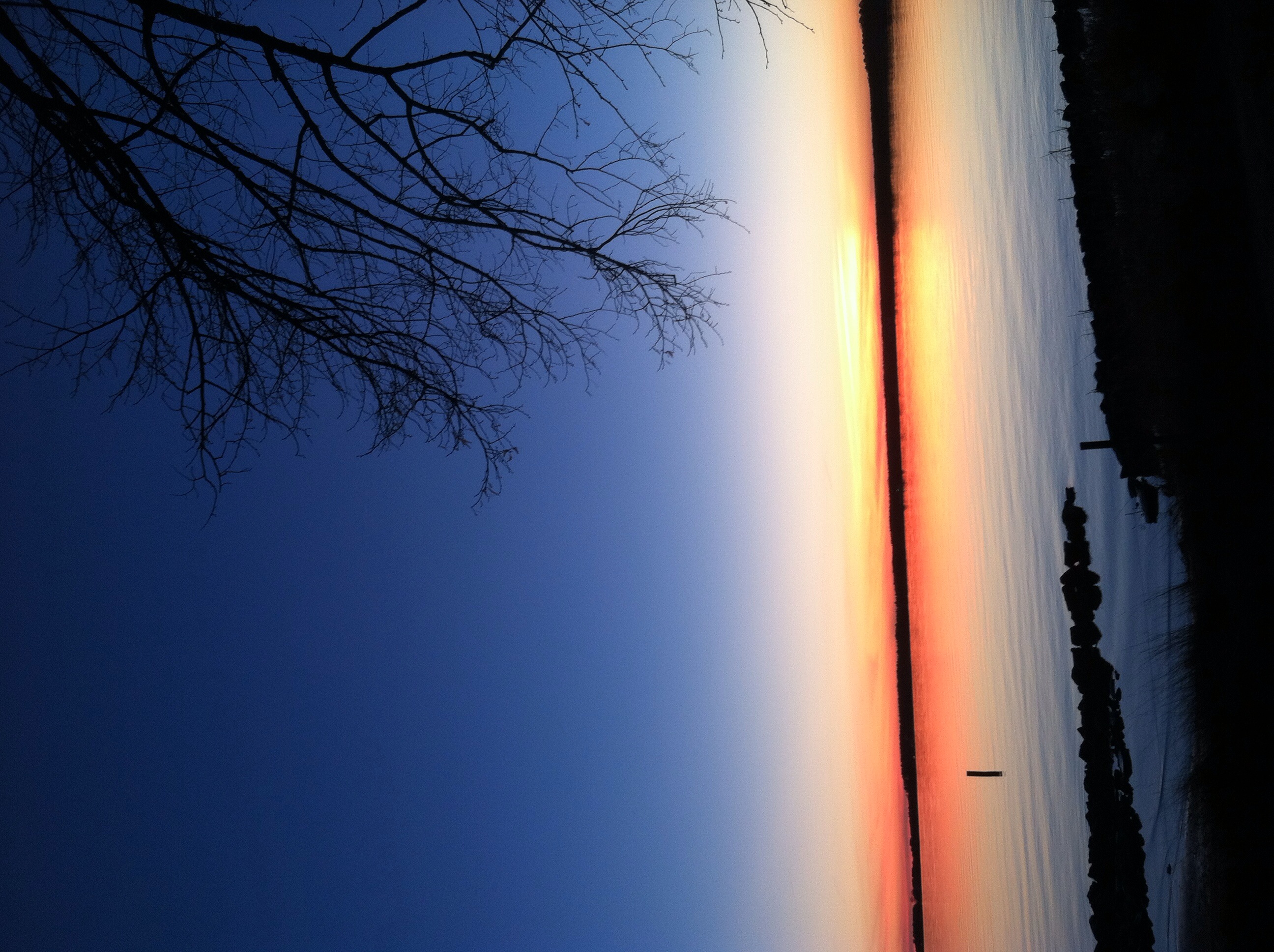
Knapps Narrows Sunset
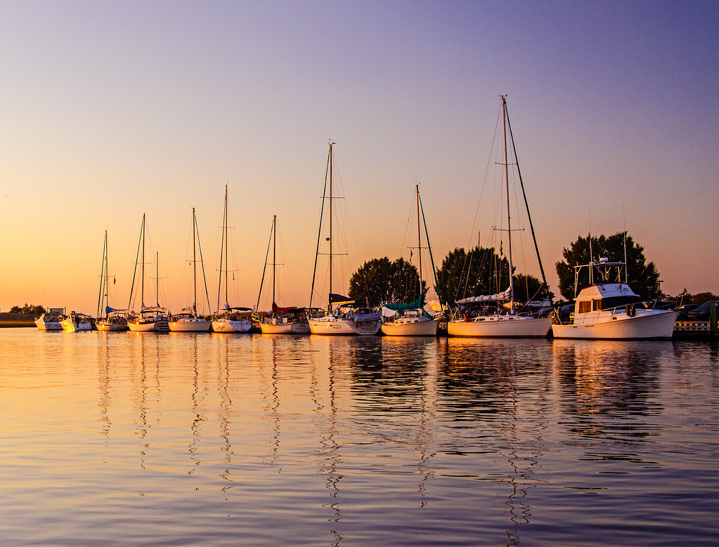
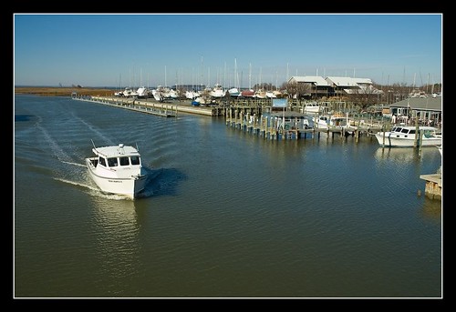
14 - The Neighbors' boats - 20080704
Tilghman Island Postcard I
Oxford, MD
Clouds over the Choptank
20 - A view across the river - 20080704
22 - A view across the river - 20080704
Agent Billy's Bleating Was Raising Suspicions
05 - A view of the dock - 20080704
Dorchester County Courthouse
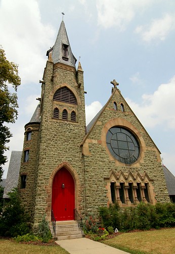
Christ Church Episcopal 1
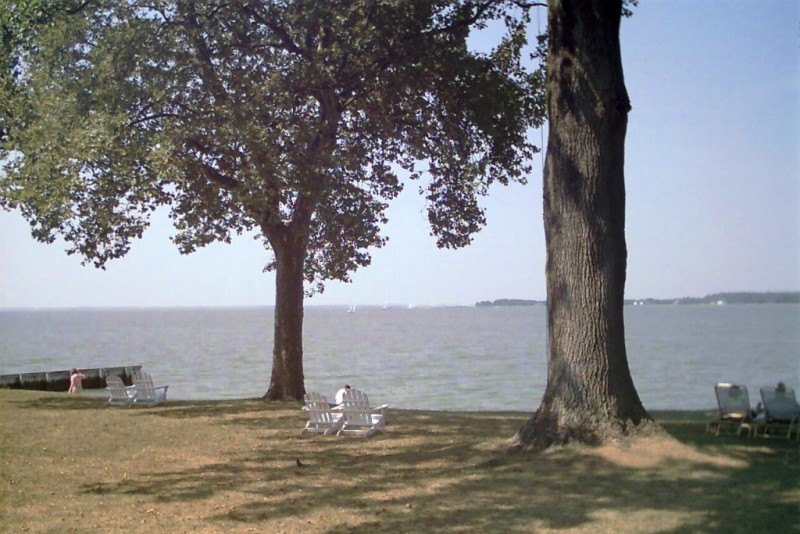
Small public beach
Cambridge - Fishing Cove - View From Fishing Pier

View of Side D

Aboard the Rebecca T. Ruark

Cambridge Maryland Streetscape

48 - More fun on the Dock - 20080705
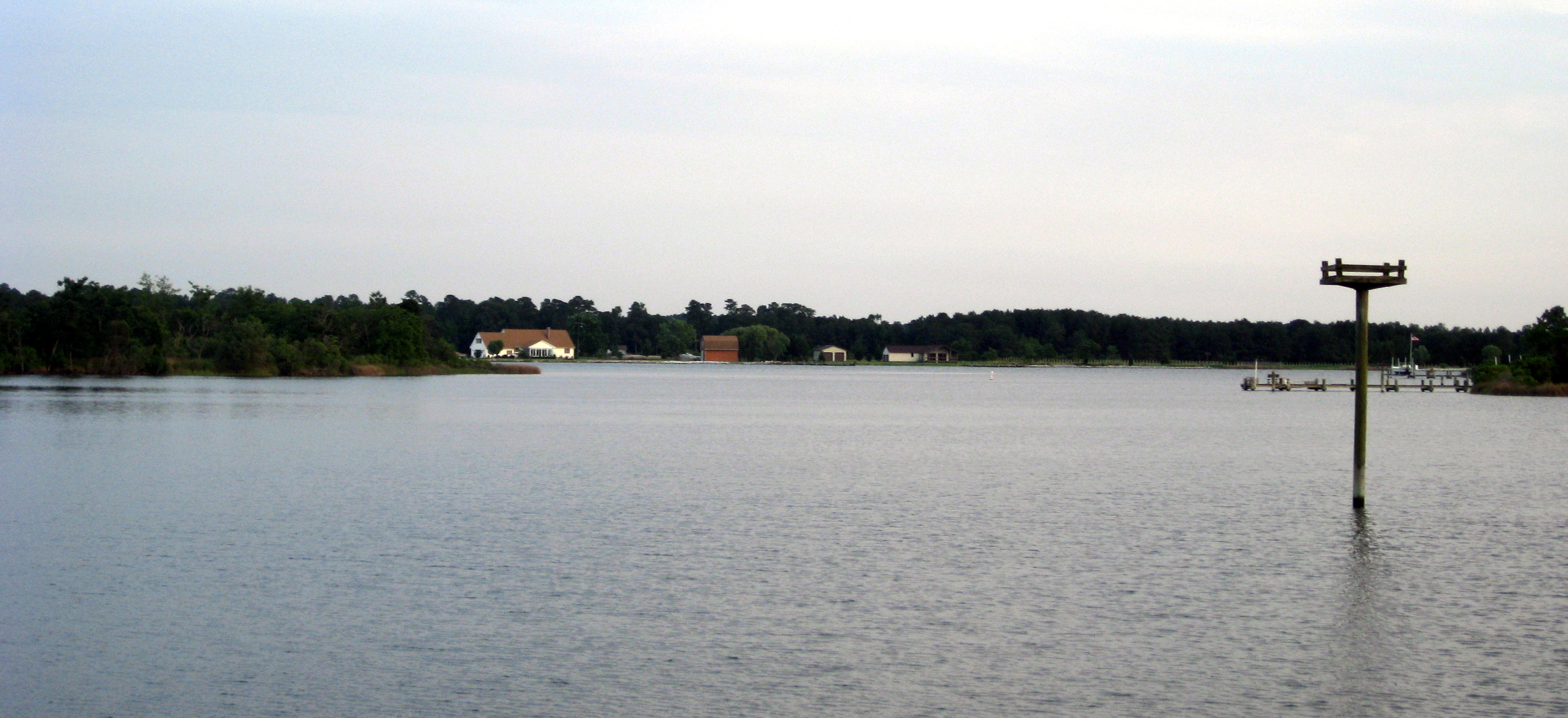
View of the Choptank River
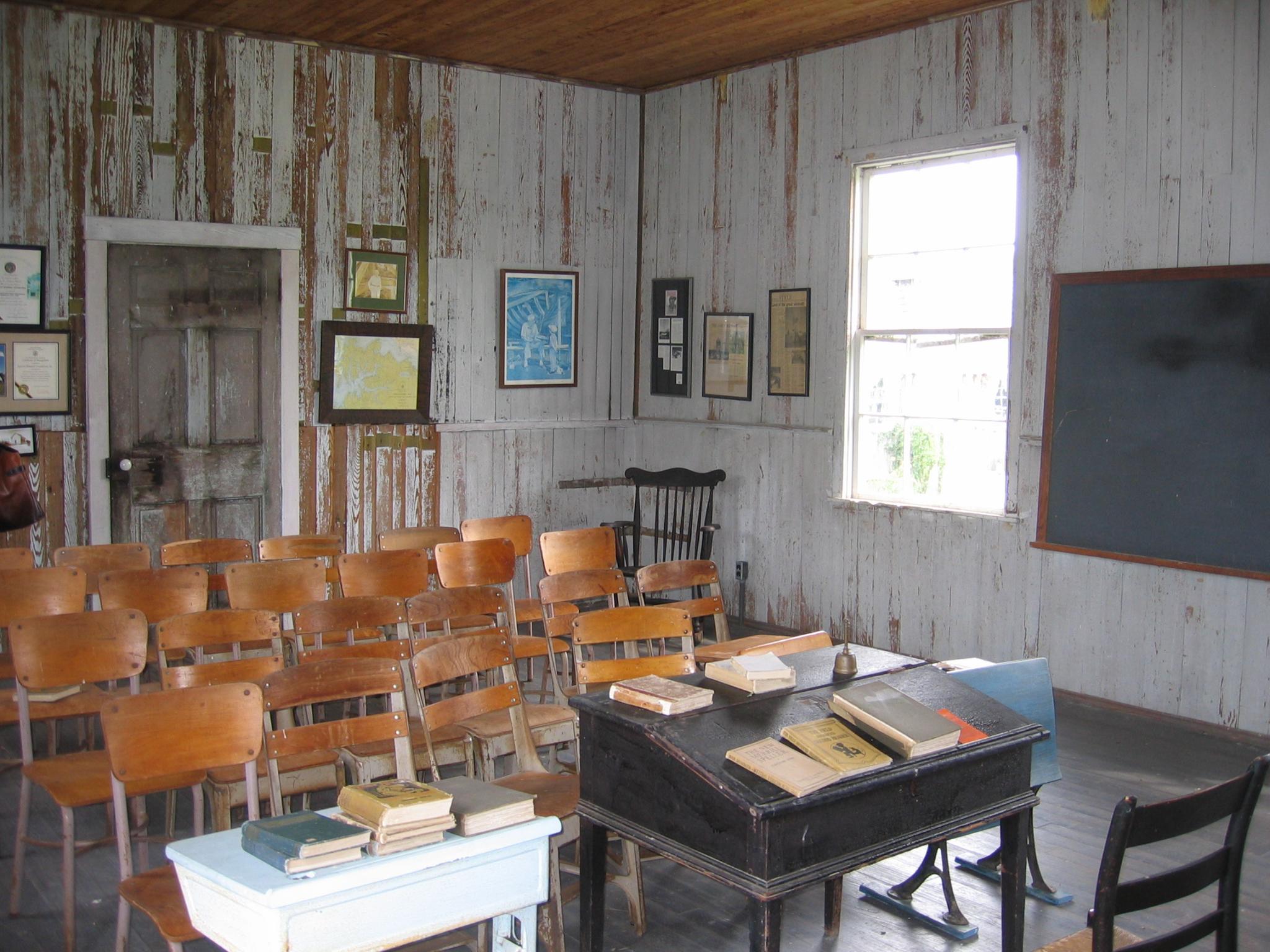
Interior view, Castle Haven School at Spocott Windmill
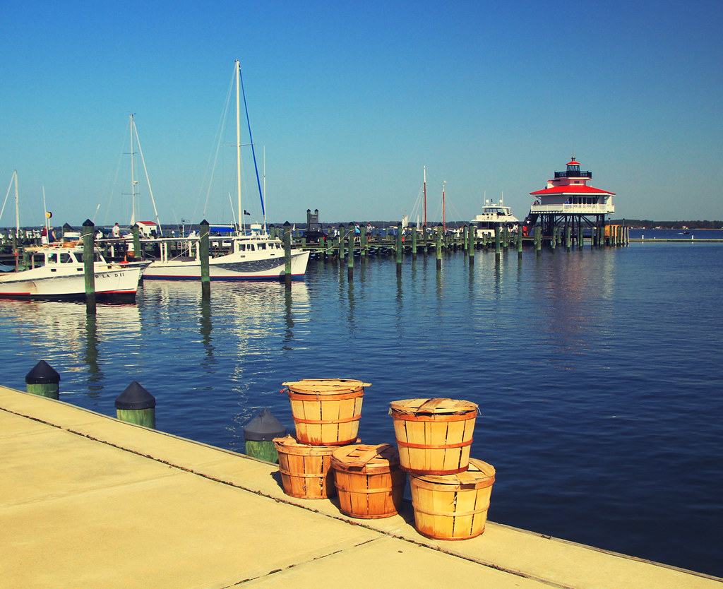
Crab Baskets at the Choptank River Lighthouse

The Oxford-Bellevue Ferry at Sunset
ES-21

Maryland Eastern Shore-6
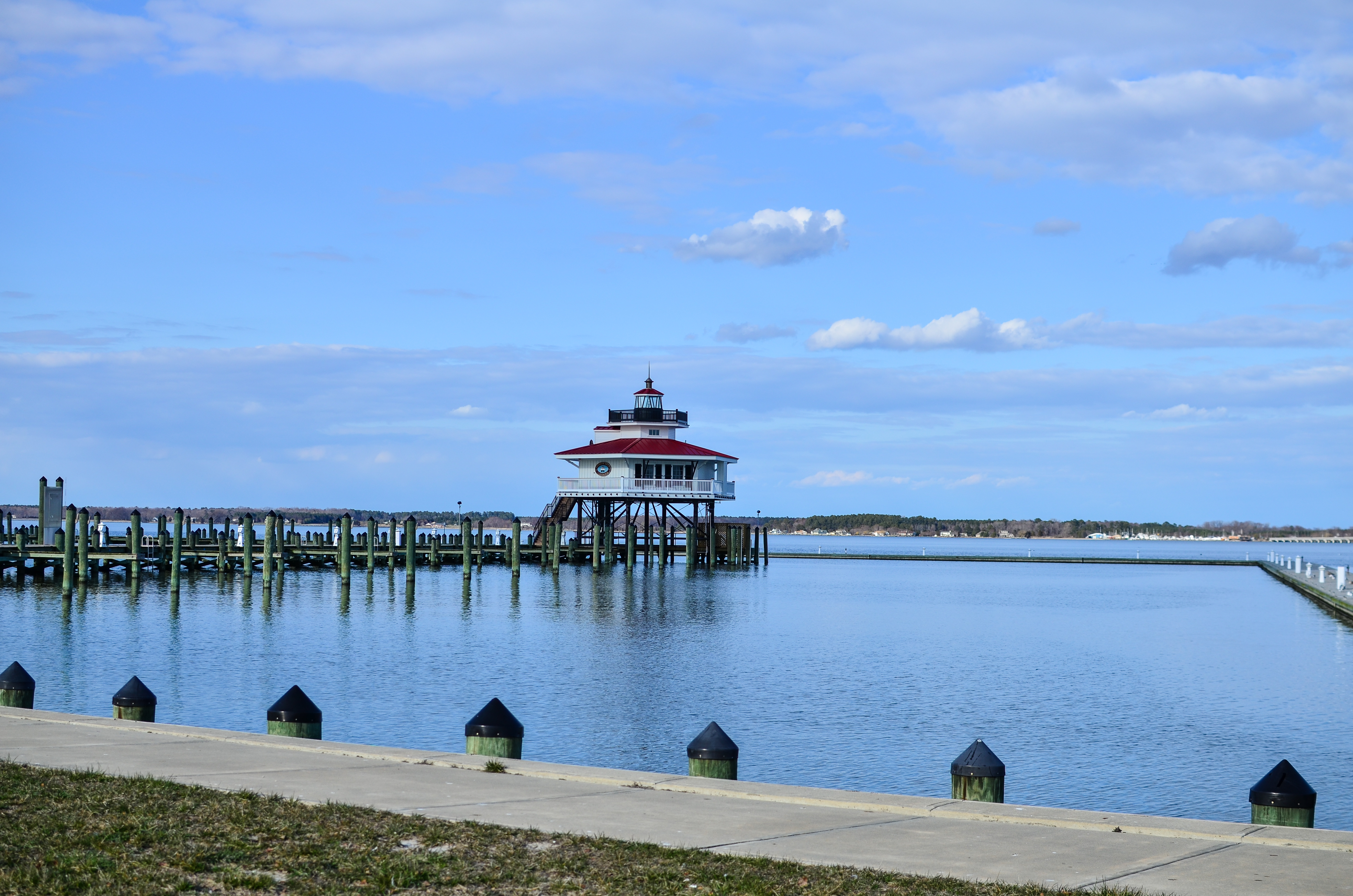
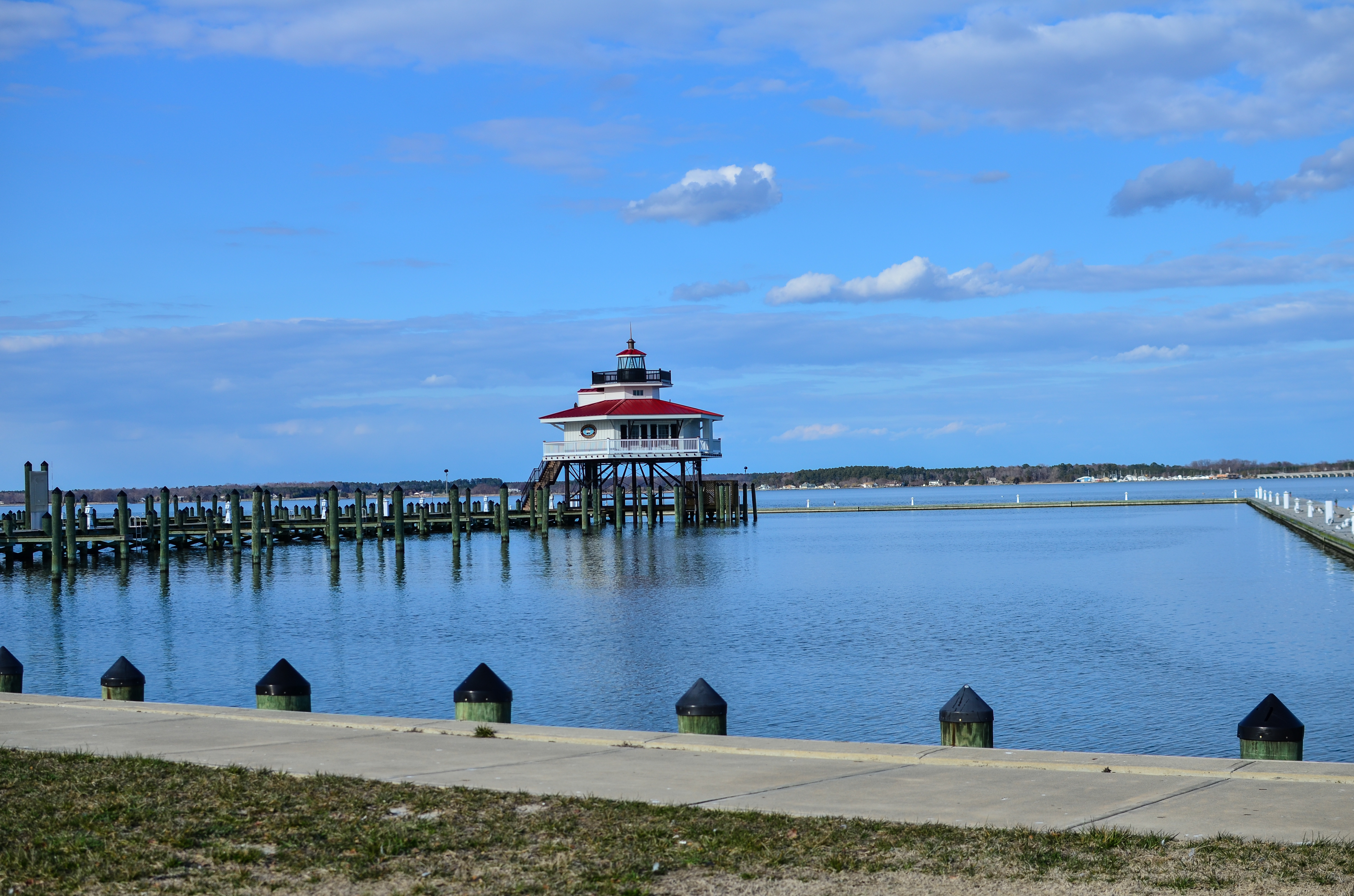
Choptank River Lighthouse
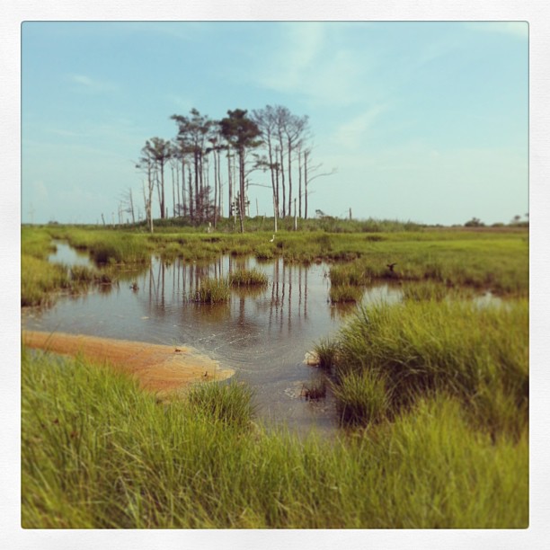
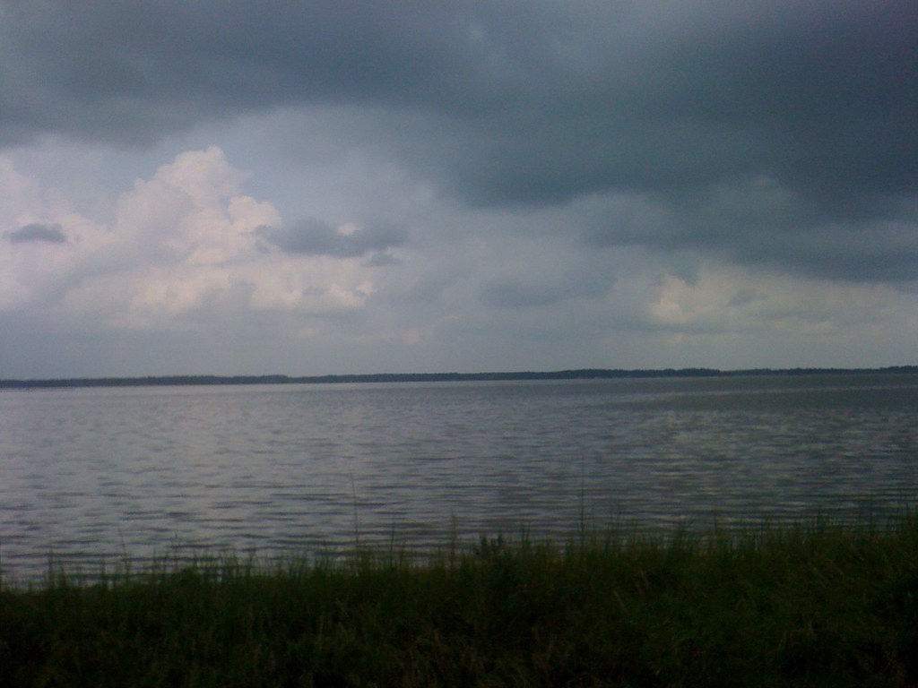
Salt marsh on the Chesapeake Bay. #latergram
Old Cold and Broken

Sunrise From Tilghman Island
Maryland Eastern Shore-2
November Shadows

Dogwood Harbor, Tilghman Island Maryland

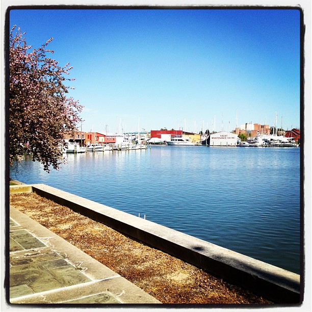
Cambridge, Maryland

Maryland's Eastern Shore

SHARP GRASS AND LOW CLOUDS
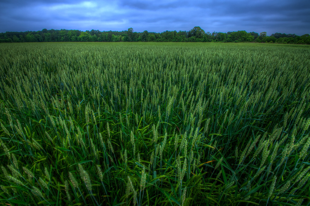
Magic Hour Wheat Field
Cambridge Maryland
A beautiful day on the Creek

Hunting blind in water impoundment on farm
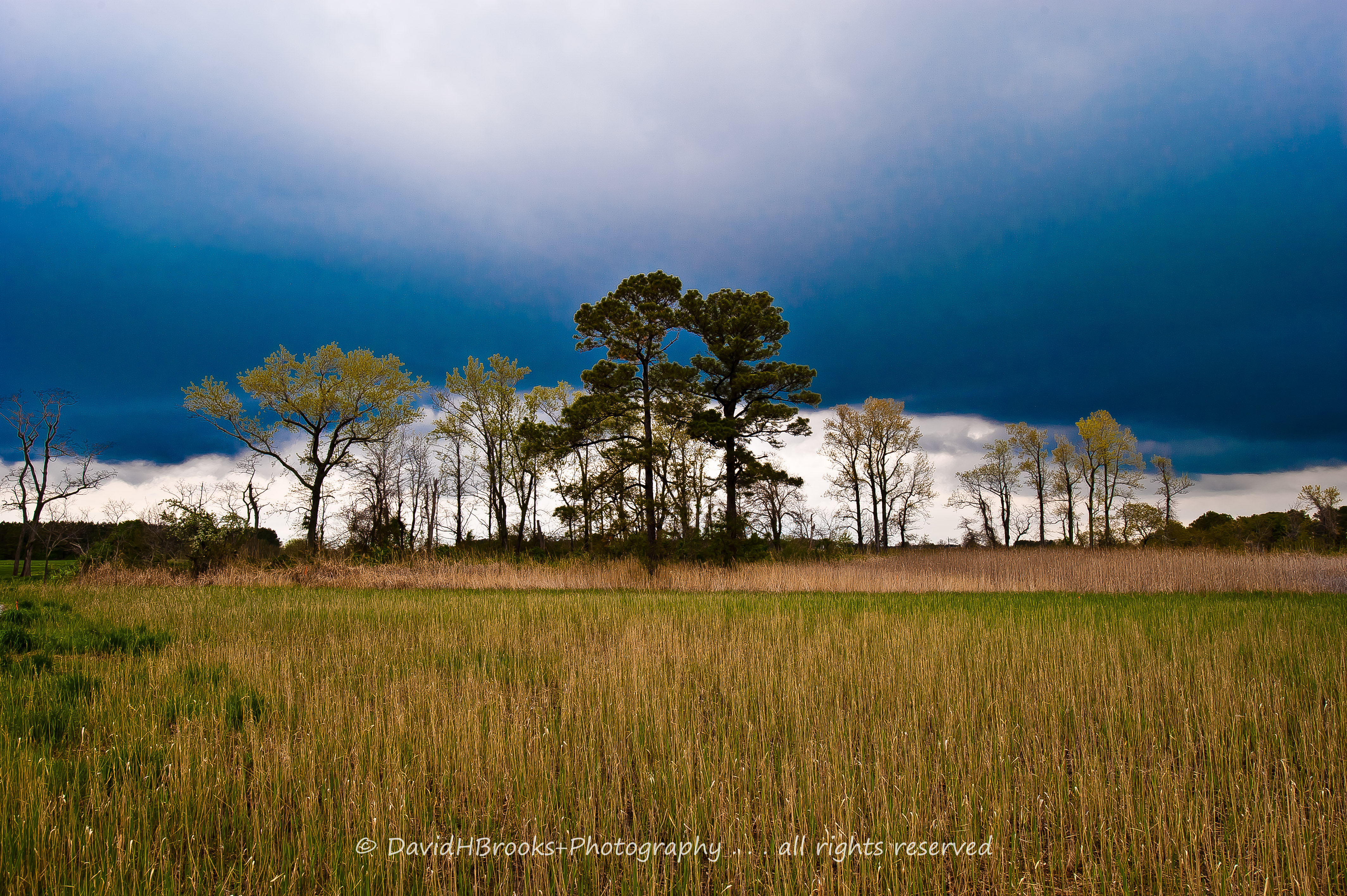
SHARP GRASS AND LOW CLOUDS
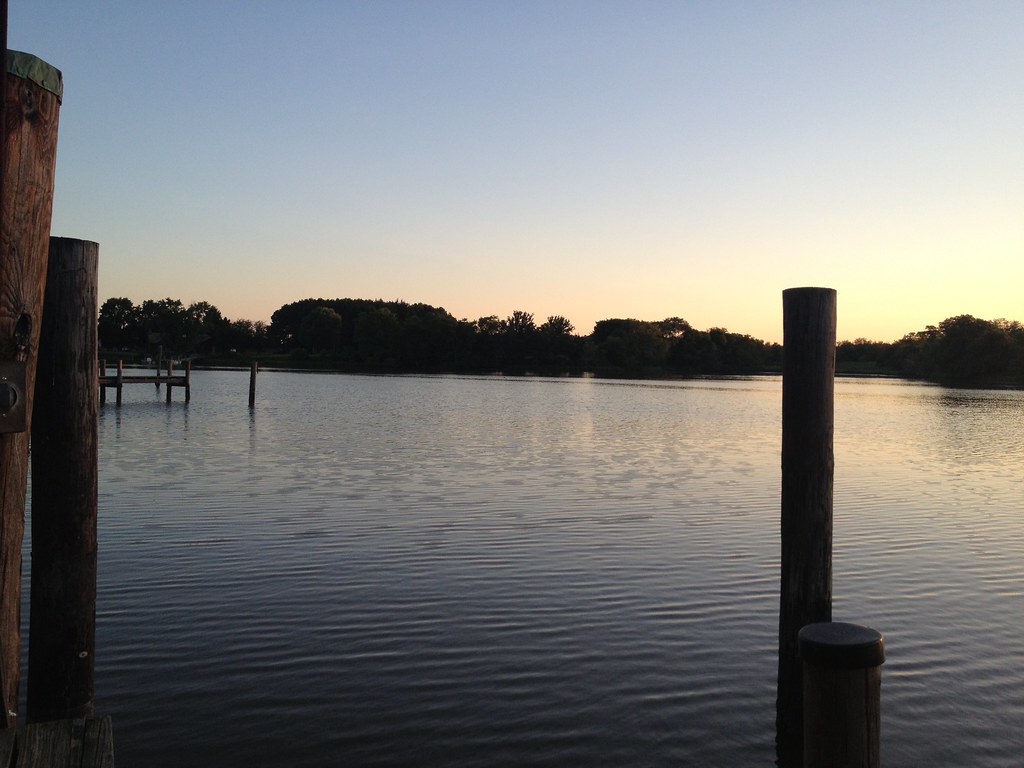
2013-07-06 20.17.17
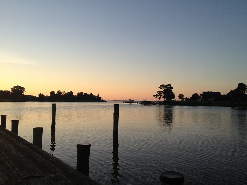
2013-07-06 20.17.30
Topographic Map of Hudson Wharf Rd, Cambridge, MD, USA
Find elevation by address:

Places near Hudson Wharf Rd, Cambridge, MD, USA:
850 Hills Point Rd
5725 Ross Neck Rd
5709 Ross Neck Rd
711 Twin Point Cove Rd
Hills Point Rd, Cambridge, MD, USA
6119 Twin Point Cove Rd
712 Hills Point Rd
5233 Ragged Point Rd
Hudson Rd, Cambridge, MD, USA
5220 David Greene Rd
David Greene Rd, Cambridge, MD, USA
5111 David Greene Rd
Parsons Dr, Madison, MD, USA
Old Madison Rd, Madison, MD, USA
5226 Heron Blvd
Madison
Madison
Madison
Madison
Madison
Recent Searches:
- Elevation of Royal Ontario Museum, Queens Park, Toronto, ON M5S 2C6, Canada
- Elevation of Groblershoop, South Africa
- Elevation of Power Generation Enterprises | Industrial Diesel Generators, Oak Ave, Canyon Country, CA, USA
- Elevation of Chesaw Rd, Oroville, WA, USA
- Elevation of N, Mt Pleasant, UT, USA
- Elevation of 6 Rue Jules Ferry, Beausoleil, France
- Elevation of Sattva Horizon, 4JC6+G9P, Vinayak Nagar, Kattigenahalli, Bengaluru, Karnataka, India
- Elevation of Great Brook Sports, Gold Star Hwy, Groton, CT, USA
- Elevation of 10 Mountain Laurels Dr, Nashua, NH, USA
- Elevation of 16 Gilboa Ln, Nashua, NH, USA