Elevation of Ragged Point Rd, Cambridge, MD, USA
Location: United States > Maryland > Dorchester County > 7, Cambridge > Cambridge >
Longitude: -76.271942
Latitude: 38.542769
Elevation: 1m / 3feet
Barometric Pressure: 101KPa
Elevation Map:
Satellite Map:
Related Photos:
24 - Eric - 20080704

Horn Point Laboratory in Dorchester County, Md.
No Common Name
No Common Name
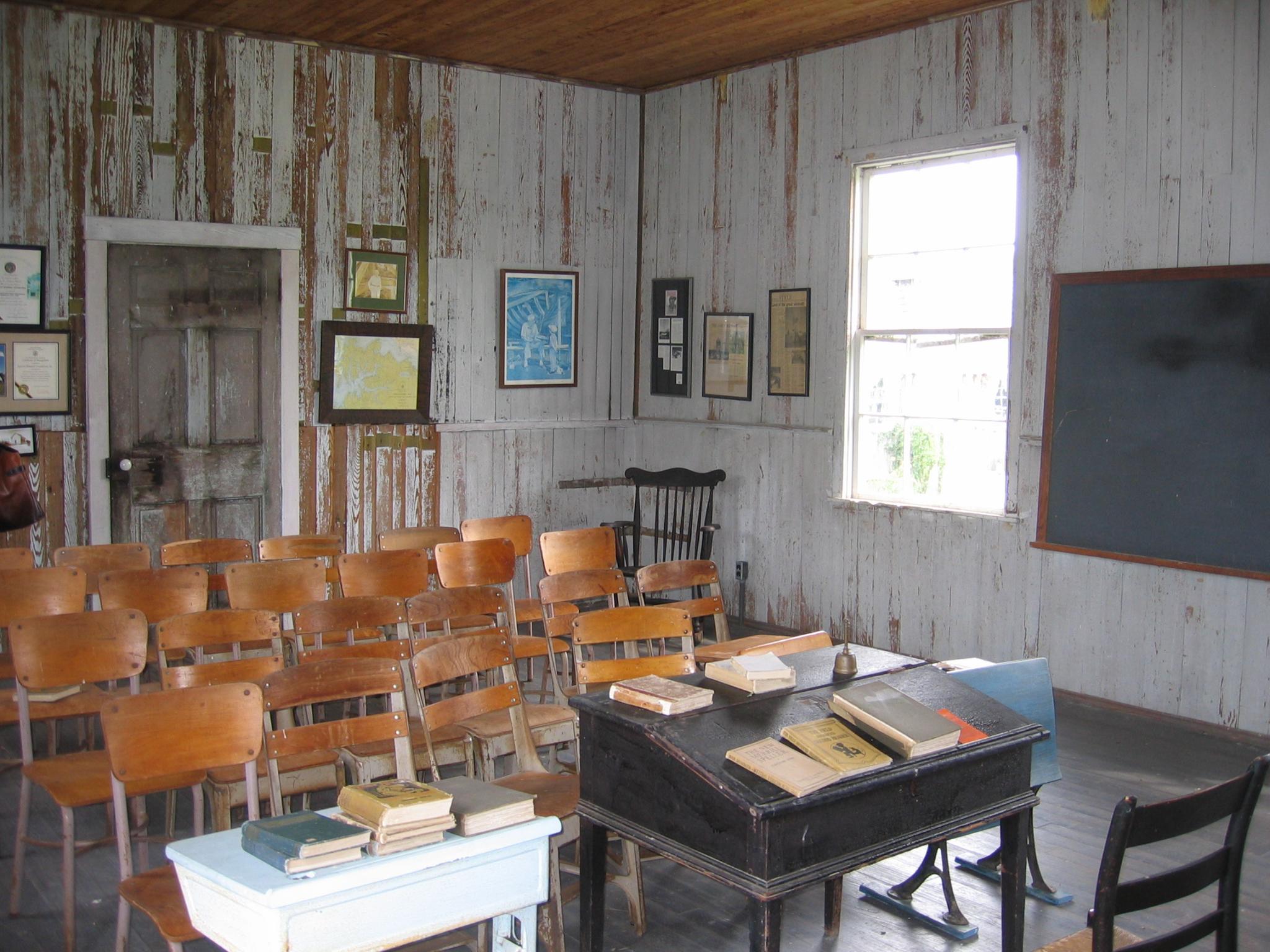
Interior view, Castle Haven School at Spocott Windmill
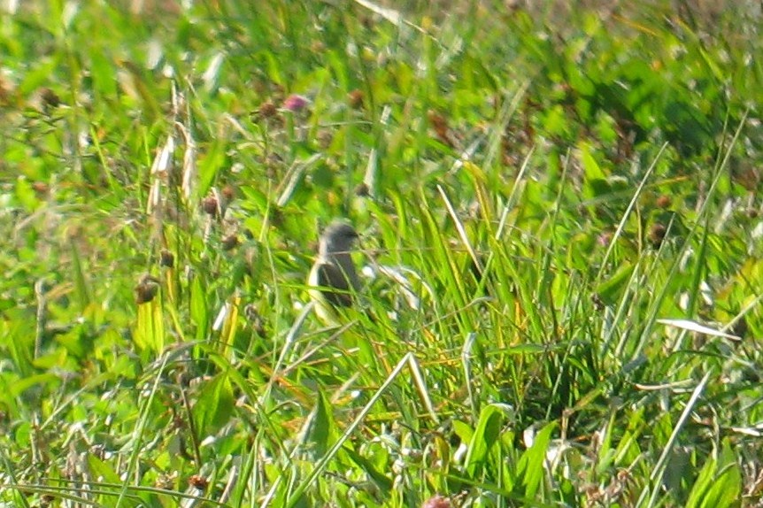
Western Kingbird
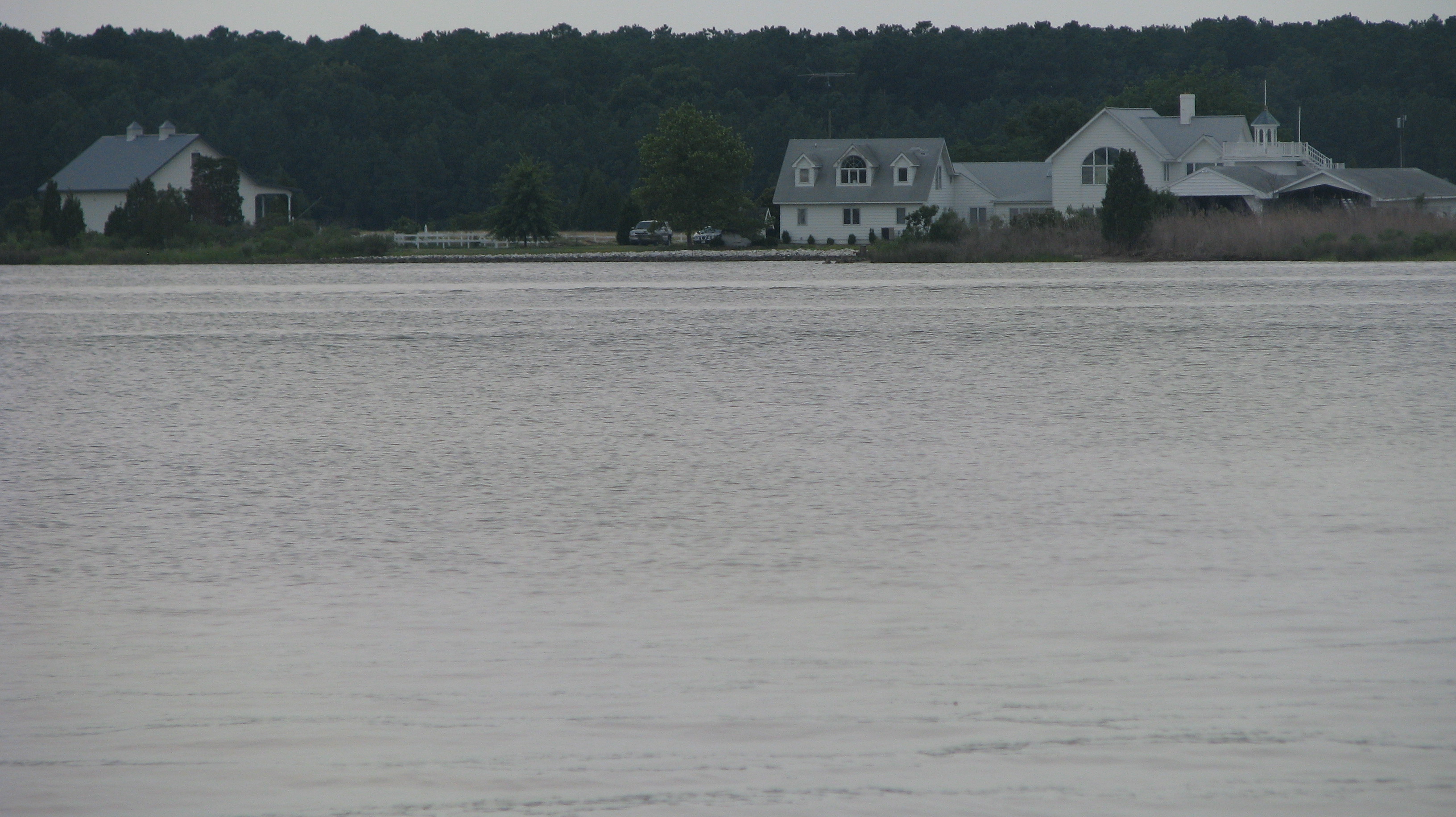
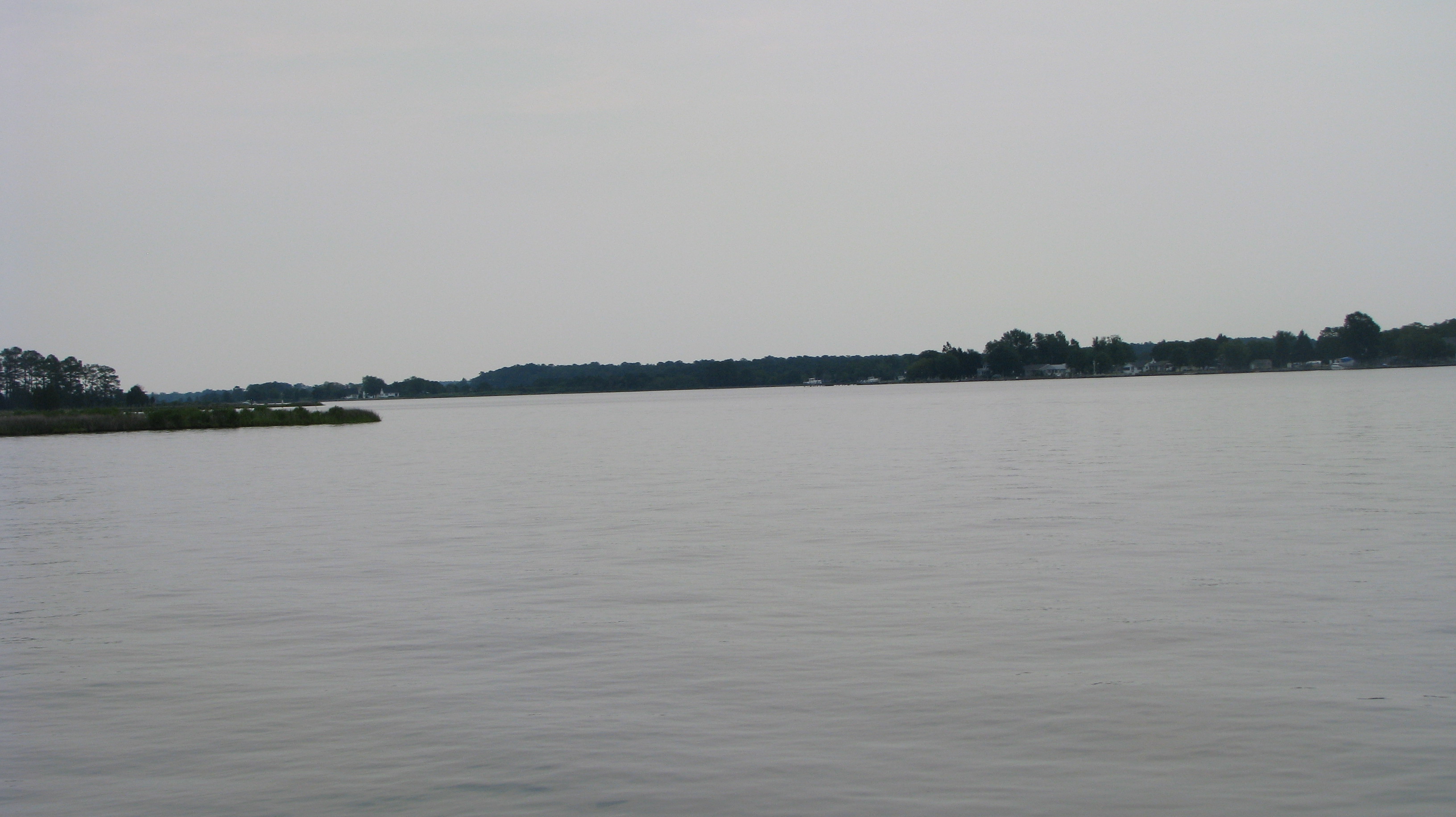
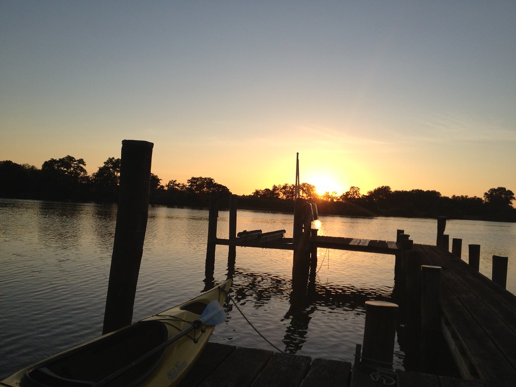
20 - A view across the river - 20080704
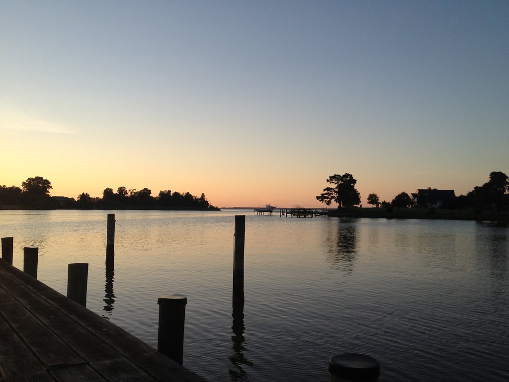
22 - A view across the river - 20080704
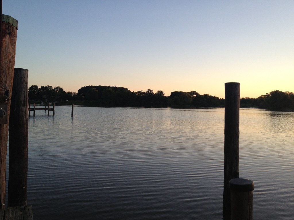
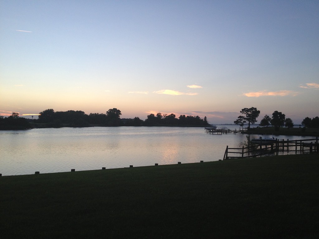
Cambridge - Fishing Cove - View From Fishing Pier
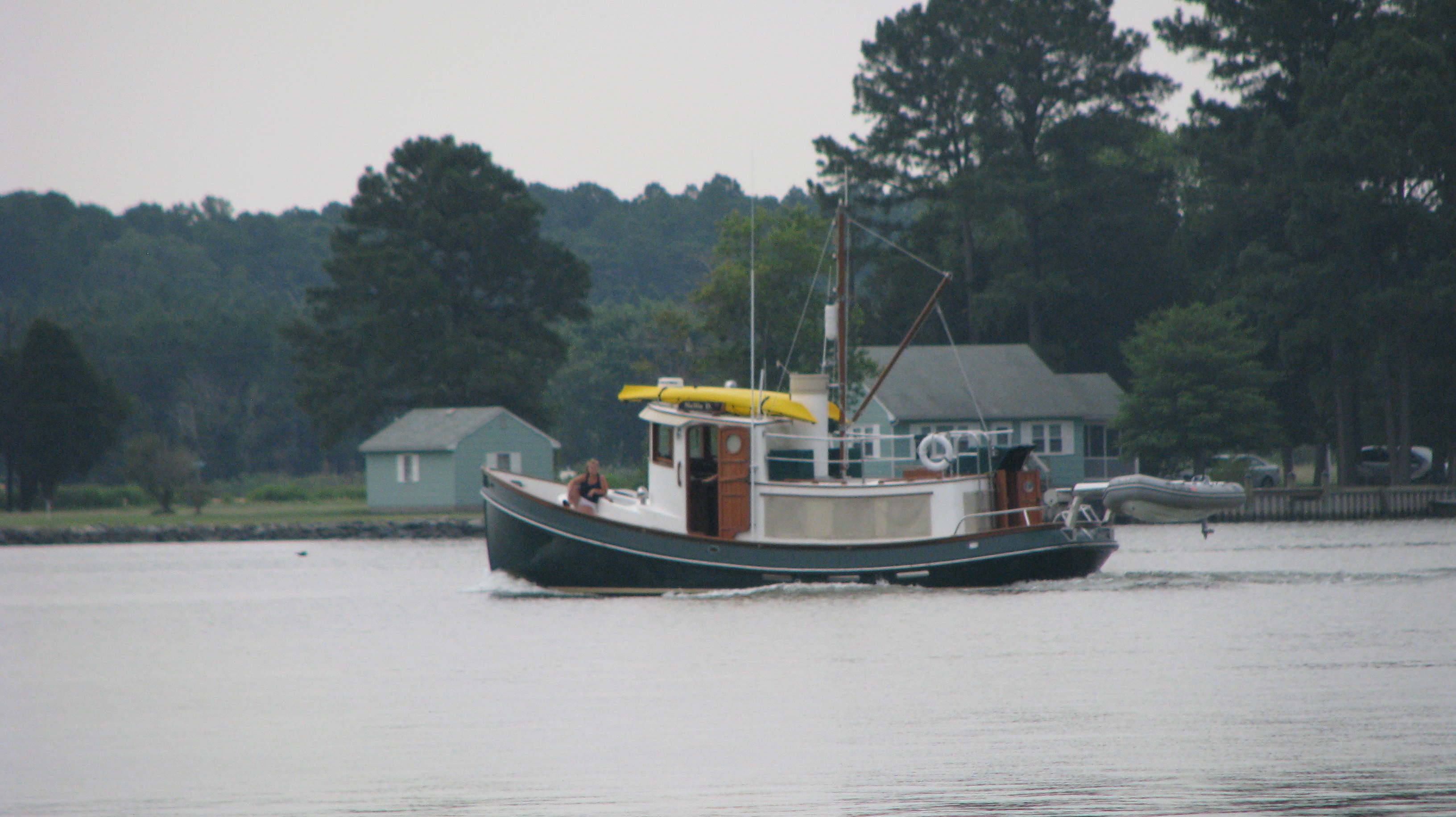
27 - Boat on the Bay - 20080704
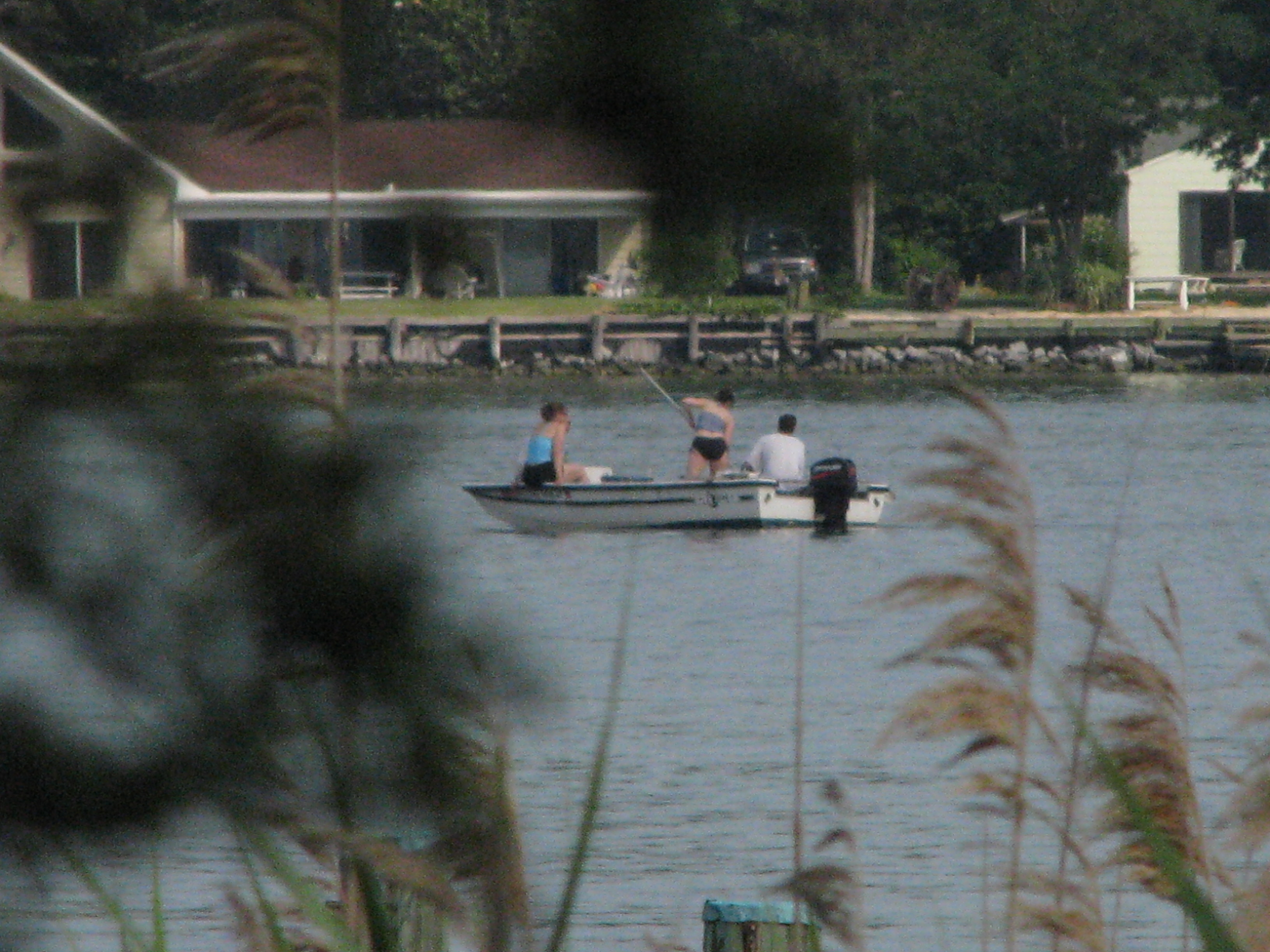
49 - The boat goes out one last time - 20080705

33 - Like Minds - 20080705
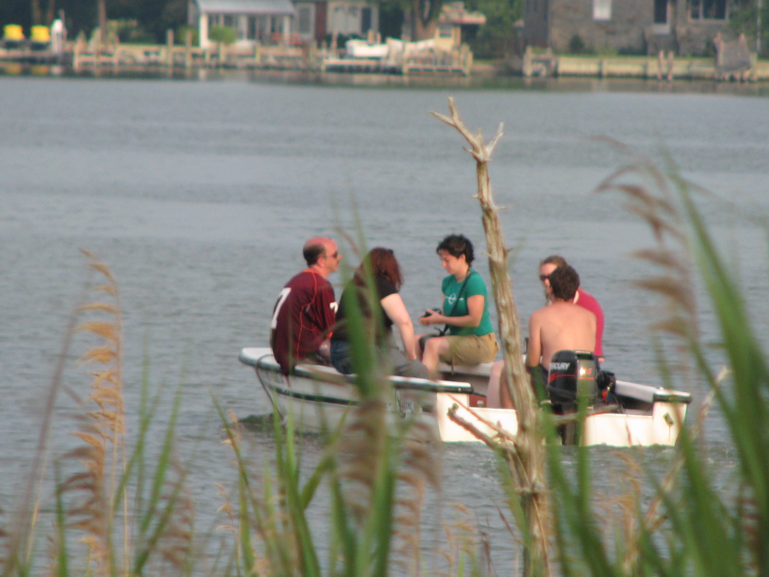
06 - Out Crabbing - 20080704
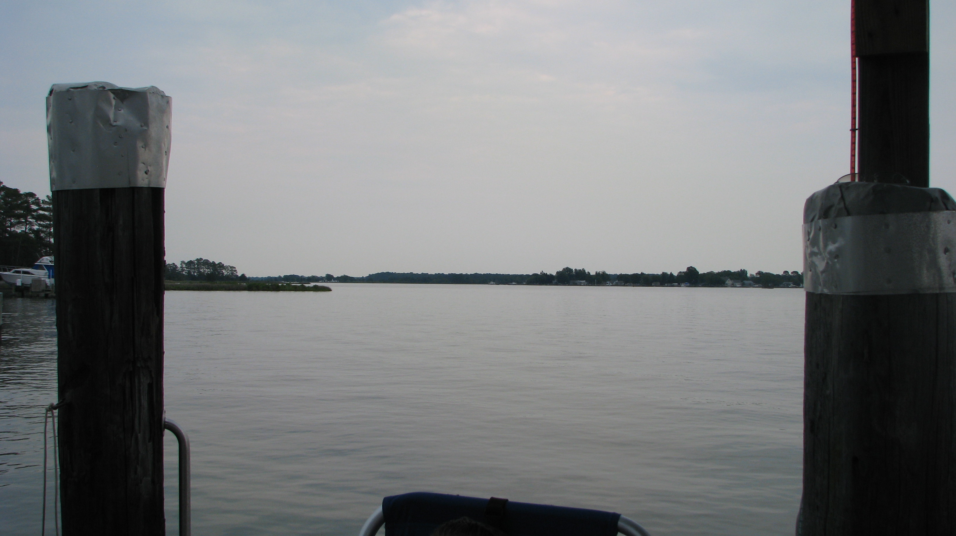
21 - A view across the river - 20080704

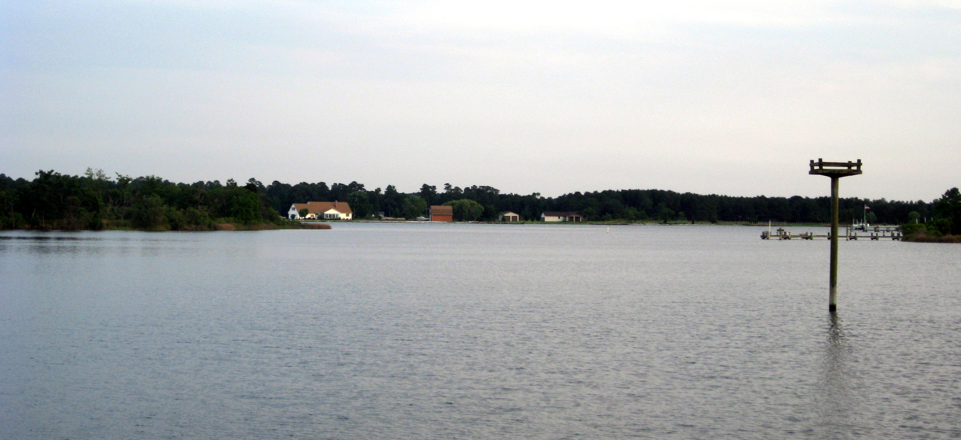
15 - The Neighbors' boats - 20080704
19 - Shannon on the Dock - 20080704
03 - Independence Day - 20080704
51 - Burning the Trash - 20080706
43 - Grabbing a Beer - 20080705
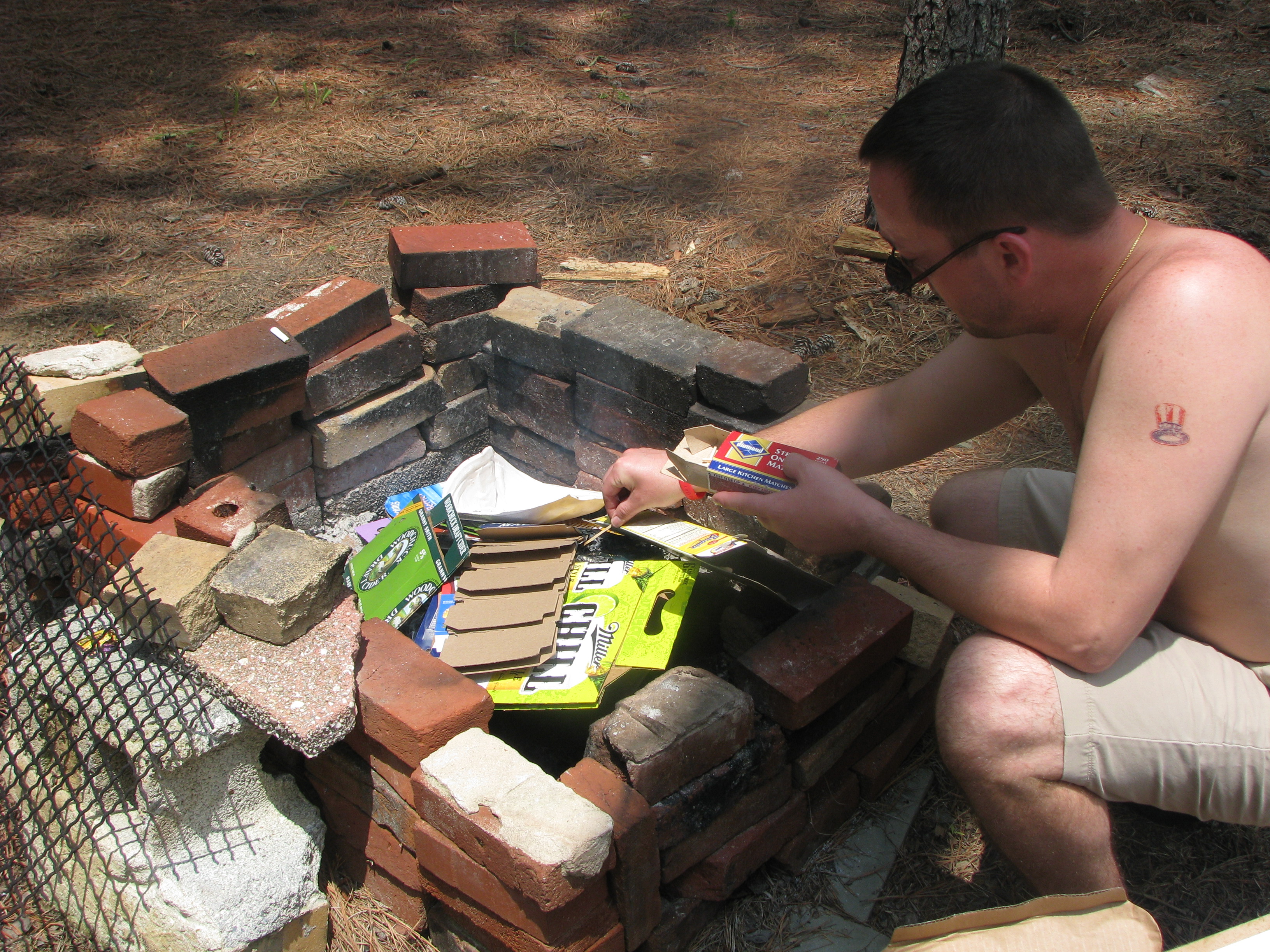
50 - Danka burns the Trash - 20080706

29 - Casey Relaxing in the Hammock - 20080704

Red Woods

Red-y-ness Exercise

Sunrise From Tilghman Island

Mallard Haven Farm in Dorchester County, Md.

Mallard Haven Farm in Church Creek, Md.
Harriet Tubman Underground Railroad National Monument - Jacob Jackson Home site

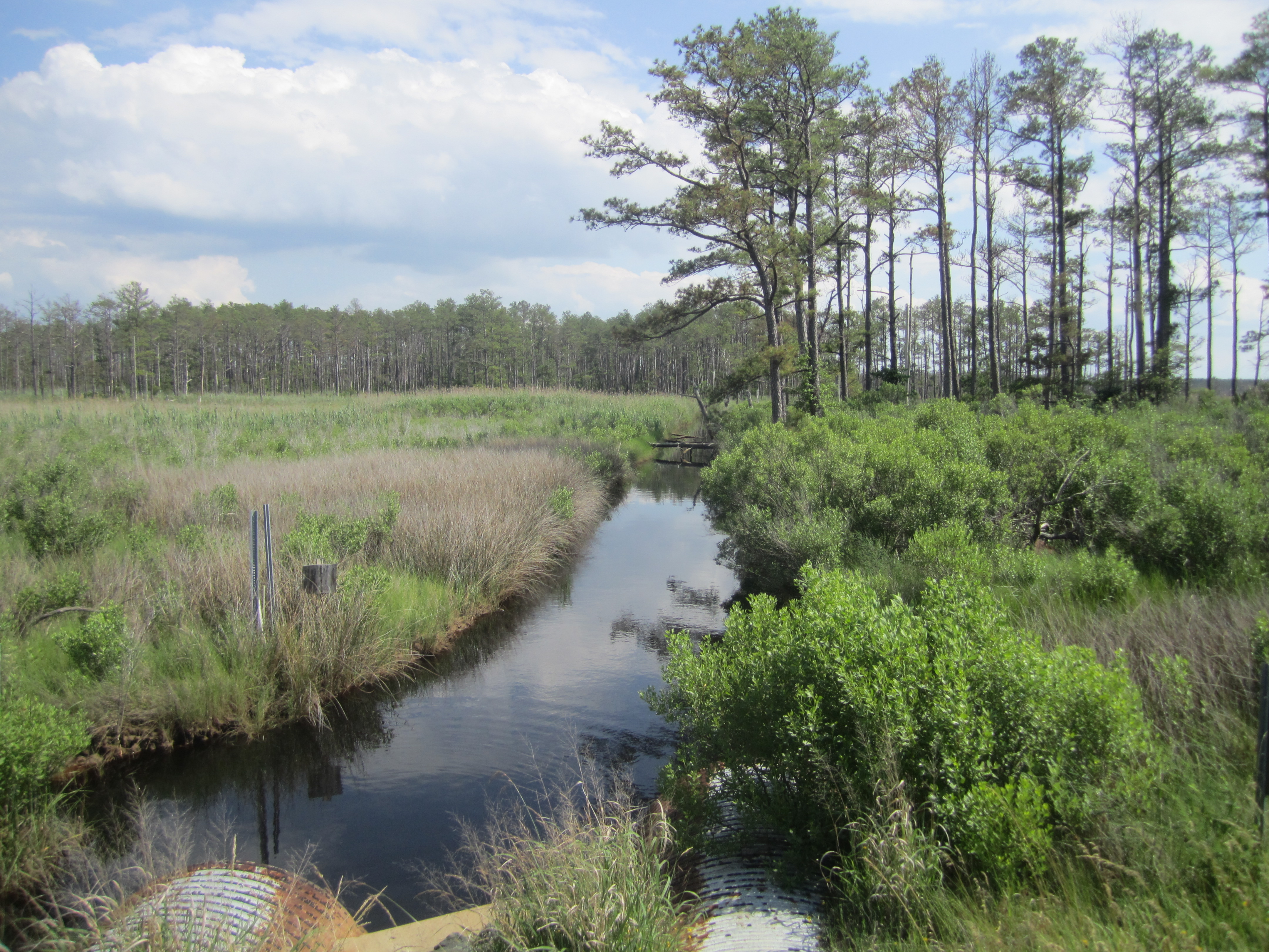
Church Creek
Sunset in The Woods
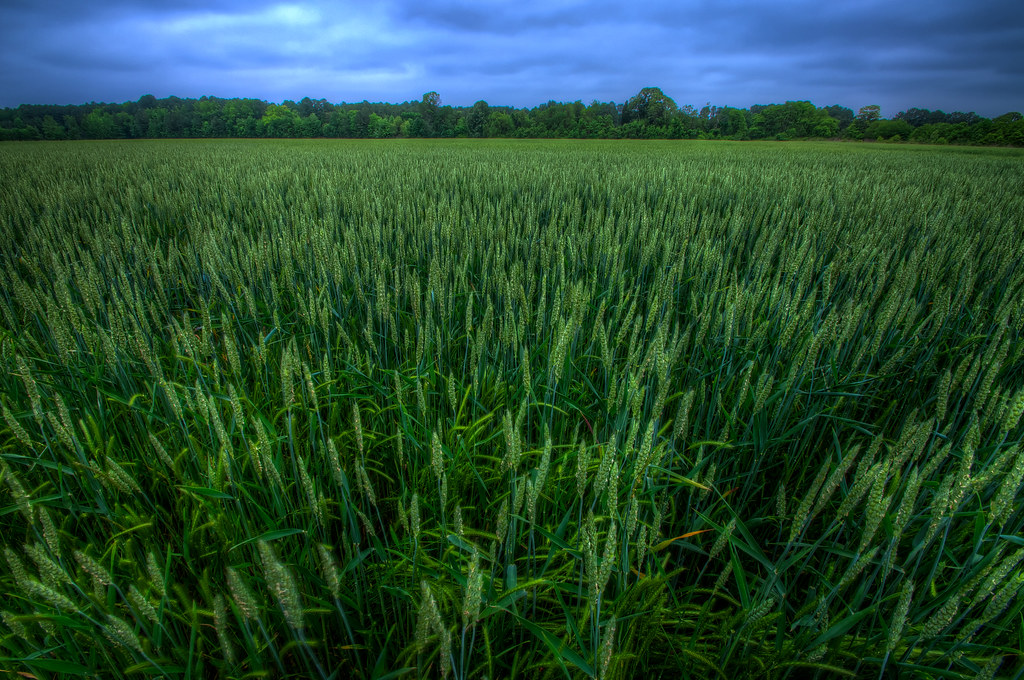
Magic Hour Wheat Field
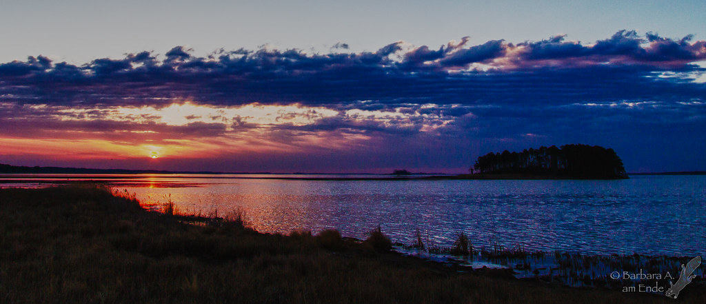
Blackwater NWR sunrise
Blackwater Dusk
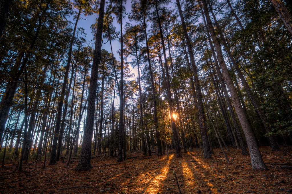
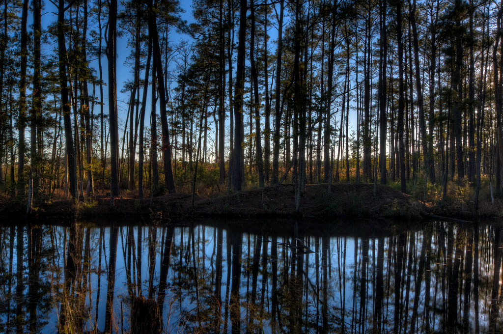
The Woods

Through the eye of a fisheye lens, Blackwater National Wildlife Refuge
2013-07-06 20.17.17
2013-07-06 20.17.30
2013-07-06 20.17.06

Sunrise over the bay, Blackwater National Wildlife Refuge
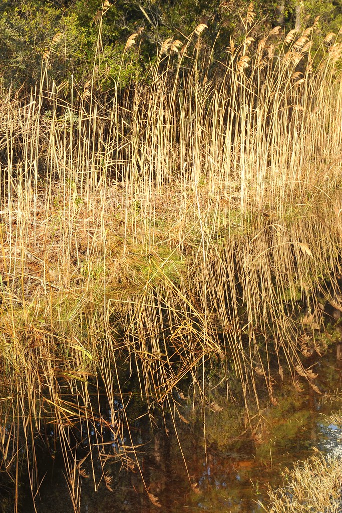
Grass reflection

Trying to get one last meal for the day, Blackwater National Wildlife Refuge
2013-07-04 20.33.05
Taylors Island Wildlife Management Area, MD
Topographic Map of Ragged Point Rd, Cambridge, MD, USA
Find elevation by address:

Places near Ragged Point Rd, Cambridge, MD, USA:
712 Hills Point Rd
Hills Point Rd, Cambridge, MD, USA
Parsons Dr, Madison, MD, USA
850 Hills Point Rd
Hudson Wharf Rd, Cambridge, MD, USA
5725 Ross Neck Rd
5709 Ross Neck Rd
Old Madison Rd, Madison, MD, USA
Madison
Madison
Madison
Madison
Madison
Madison
Madison
Madison
Madison
Madison
711 Twin Point Cove Rd
6119 Twin Point Cove Rd
Recent Searches:
- Elevation of Brooks Lp, Spearfish, SD, USA
- Elevation of Panther Dr, Maggie Valley, NC, USA
- Elevation of Jais St - Wadi Shehah - Ras al Khaimah - United Arab Emirates
- Elevation of Shawnee Avenue, Shawnee Ave, Easton, PA, USA
- Elevation of Scenic Shore Dr, Kingwood Area, TX, USA
- Elevation of W Prive Cir, Delray Beach, FL, USA
- Elevation of S Layton Cir W, Layton, UT, USA
- Elevation of F36W+3M, Mussoorie, Uttarakhand, India
- Elevation of Fairland Ave, Fairhope, AL, USA
- Elevation of Sunset Dr, Richmond, VA, USA