Elevation of Twelve Mile Bay Rd, MacTier, ON P0C 1H0, Canada
Location: Canada > Ontario > Muskoka District Municipality > Georgian Bay > Mactier >
Longitude: -79.967775
Latitude: 45.0810703
Elevation: 179m / 587feet
Barometric Pressure: 99KPa
Elevation Map:
Satellite Map:
Related Photos:
bird`s eye view
Massasauga PP night

My Current View

View of the lake from the resort
wwt02_sunset-front10
#healylake #cottagevacation

Fall Colours 2010 (8 of 8)
#amazing #rocks in the #GeorgianBay at Southeast Wooded Pine Island
Massasauga 138
...
wwt02_sunset-no909

Sunset At Site 031
wwt02_sunset-no904
hard and direct landscape
soft lit image still life

wwt02_sunset-kyack12
wwt02_sunset-front06
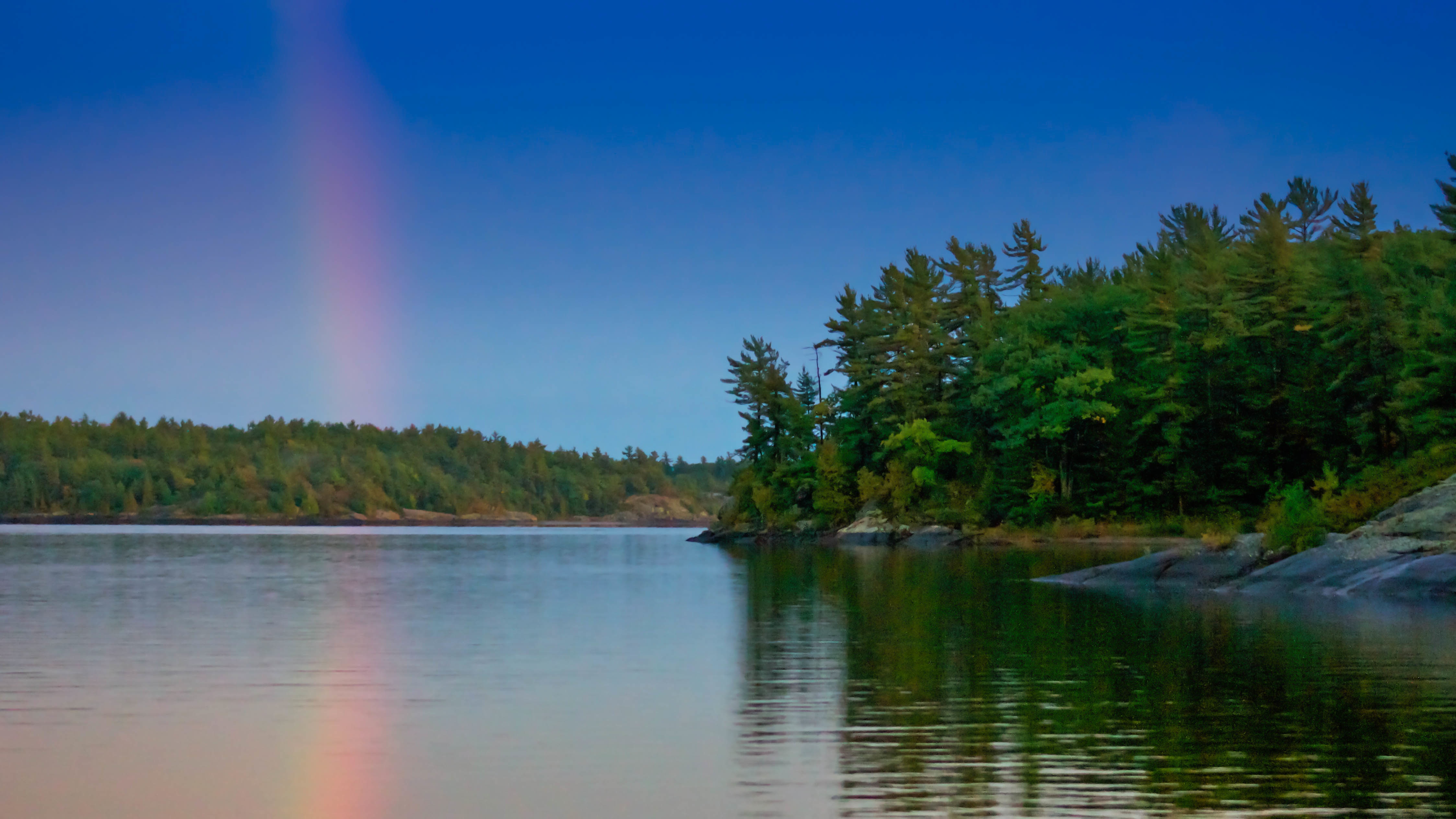
"Rainbow reflection"

Everything is calm

wwt01_snset-loon

low key landscape

Clear Lake
Topographic Map of Twelve Mile Bay Rd, MacTier, ON P0C 1H0, Canada
Find elevation by address:

Places near Twelve Mile Bay Rd, MacTier, ON P0C 1H0, Canada:
Moon River
Ogemawahj Rd, MacTier, ON P0C 1H0, Canada
2247-2245
124 Bon Echo Rd
8 Spring Ln
P2a 2w8
Mactier
281 Stewart Lake Rd
103 Wesley Rd
McDonald Rd, MacTier, ON P0C 1H0, Canada
15 Trillium Trail
Lake Joseph
6 Bay St
35 Marshall Rd
Parry Sound
3 Museum Rd, Parry Sound, ON P2A 2W8, Canada
Unit 16
Seguin
1071 Hurling Point Rd
1071 Hurling Point Rd
Recent Searches:
- Elevation of Corso Fratelli Cairoli, 35, Macerata MC, Italy
- Elevation of Tallevast Rd, Sarasota, FL, USA
- Elevation of 4th St E, Sonoma, CA, USA
- Elevation of Black Hollow Rd, Pennsdale, PA, USA
- Elevation of Oakland Ave, Williamsport, PA, USA
- Elevation of Pedrógão Grande, Portugal
- Elevation of Klee Dr, Martinsburg, WV, USA
- Elevation of Via Roma, Pieranica CR, Italy
- Elevation of Tavkvetili Mountain, Georgia
- Elevation of Hartfords Bluff Cir, Mt Pleasant, SC, USA