Elevation of - Harrison Trail, MacTier, ON P0C 1H0, Canada
Location: Canada > Ontario > Muskoka District Municipality > Georgian Bay > Mactier >
Longitude: -80.048145
Latitude: 45.0936661
Elevation: 181m / 594feet
Barometric Pressure: 99KPa
Elevation Map:
Satellite Map:
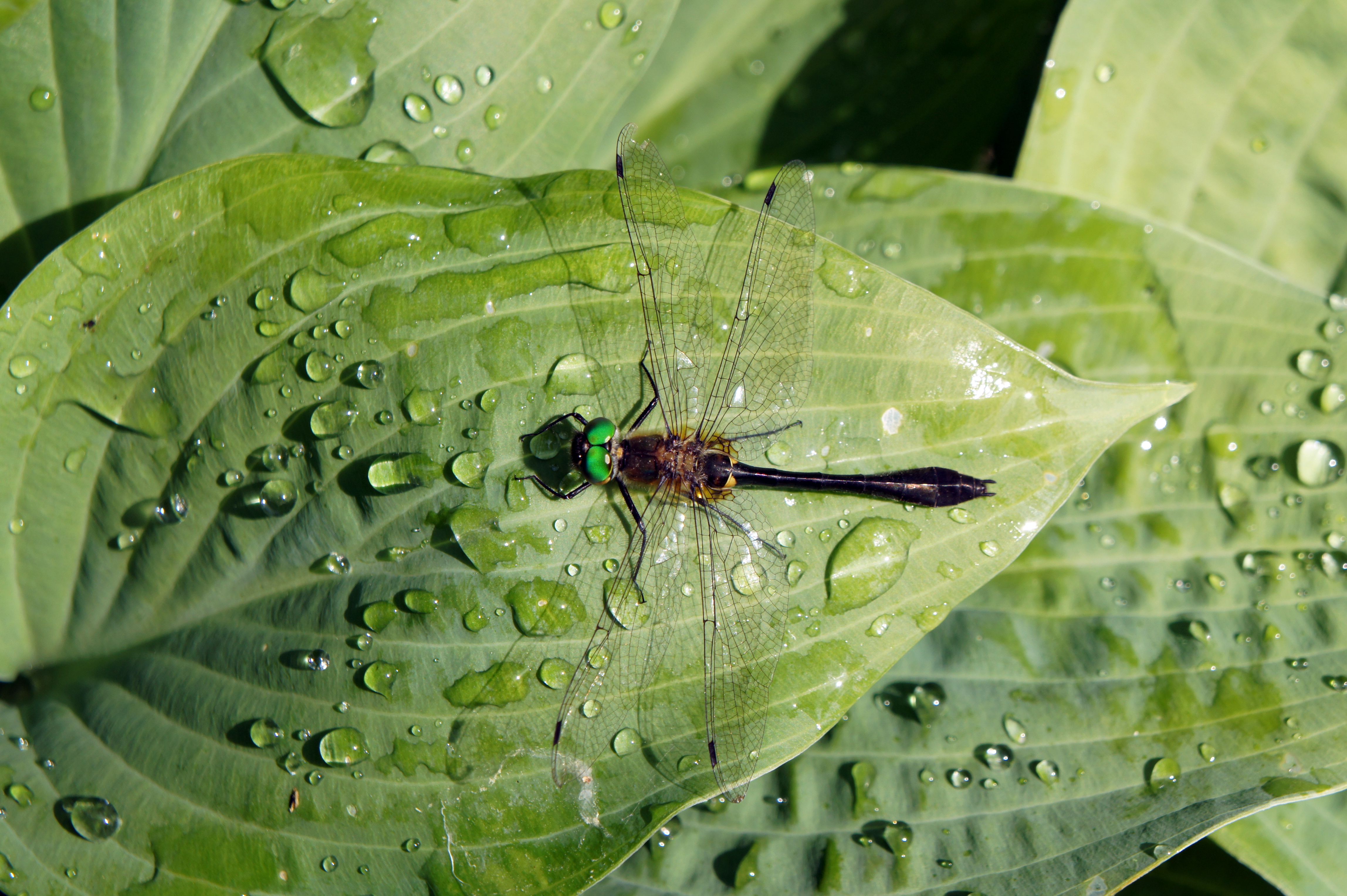
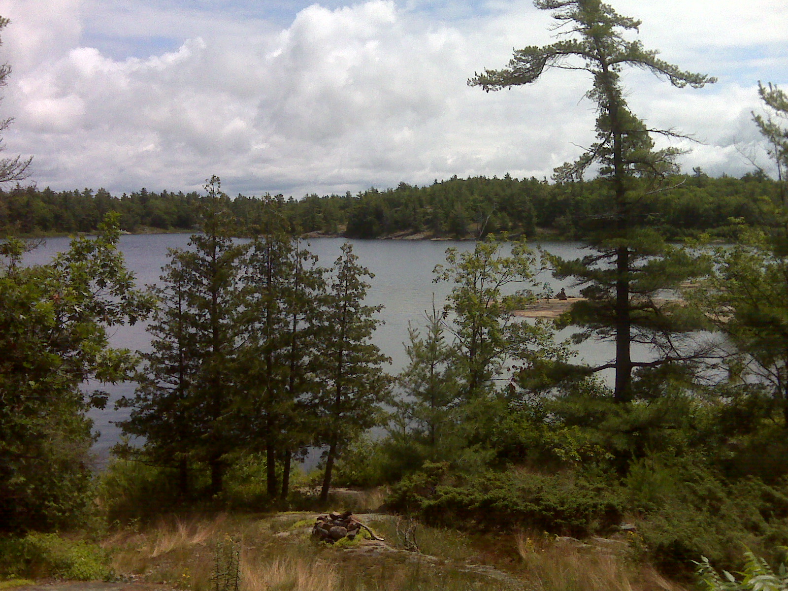
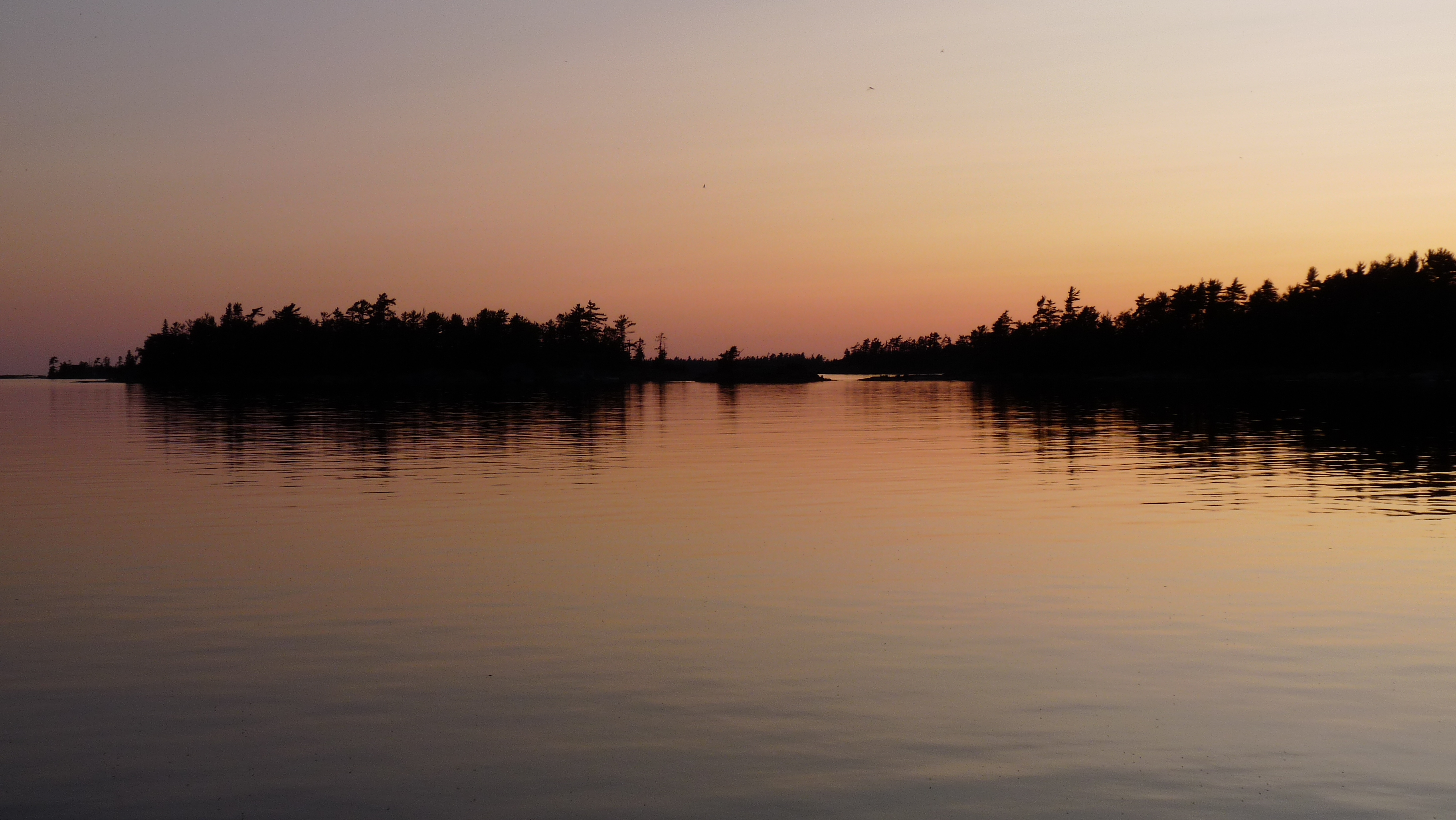
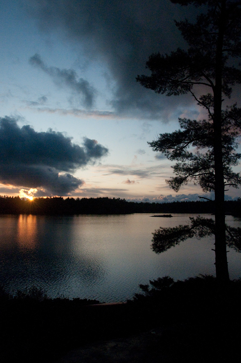
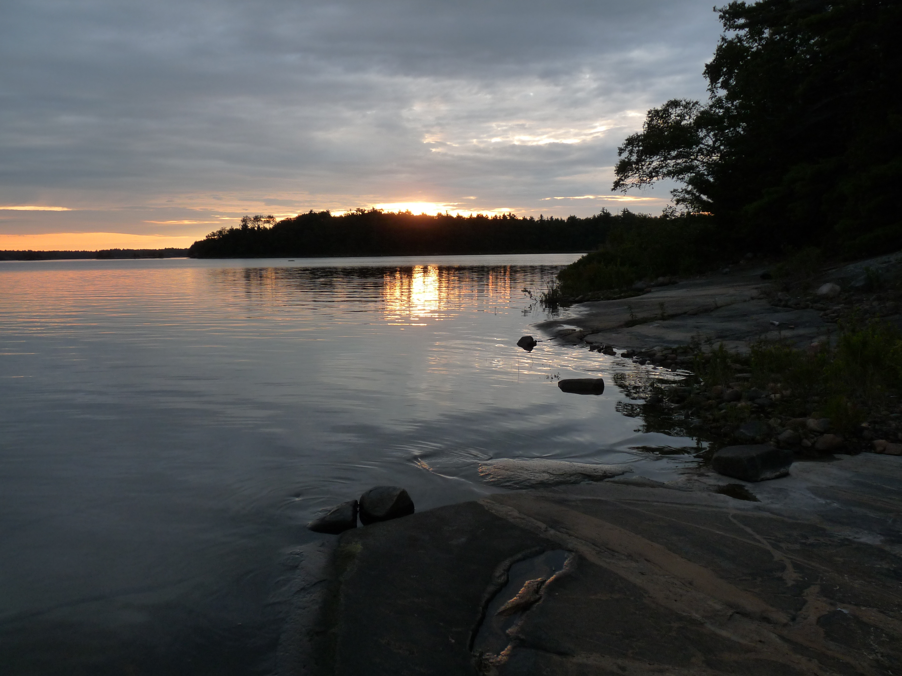
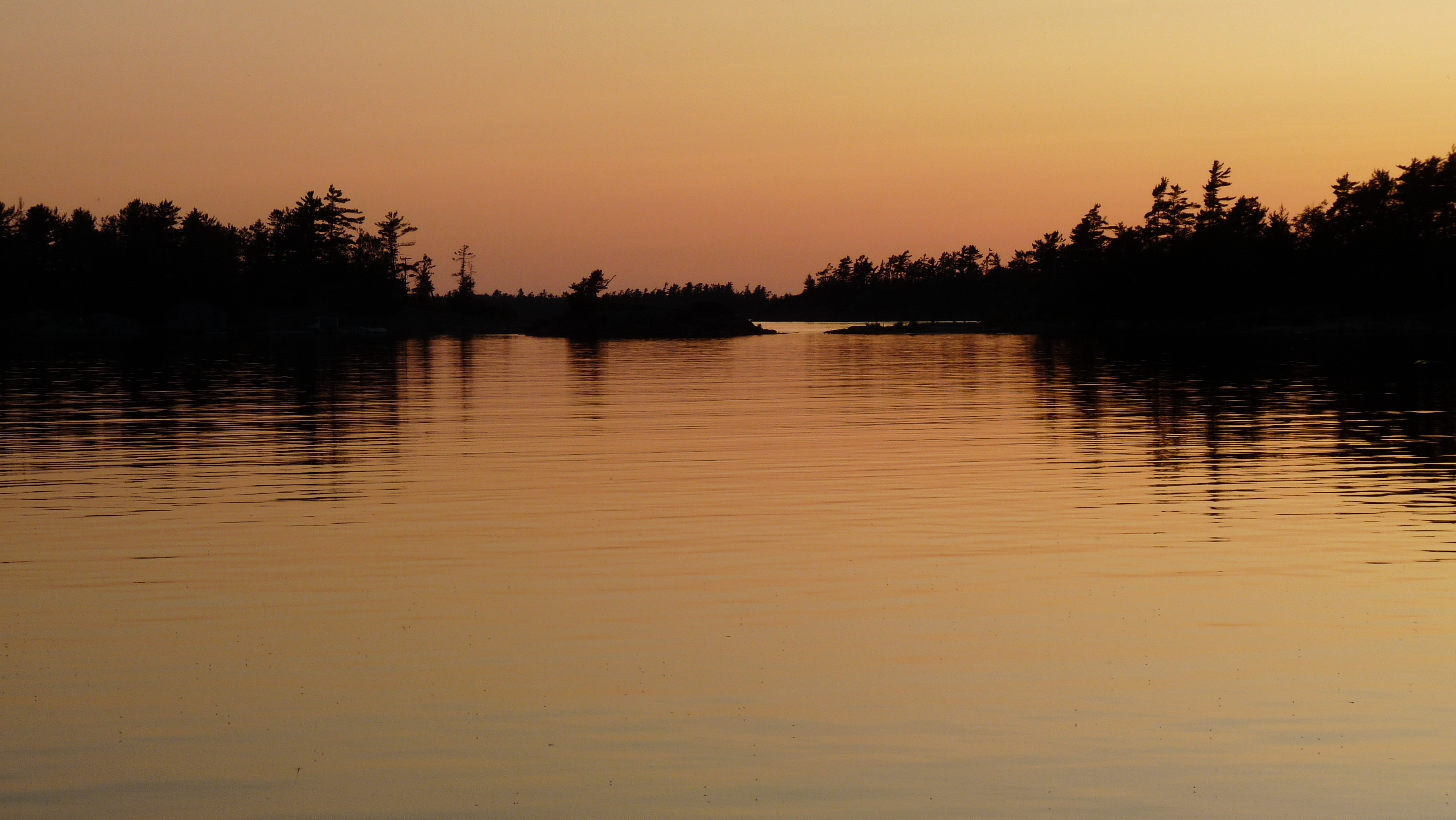
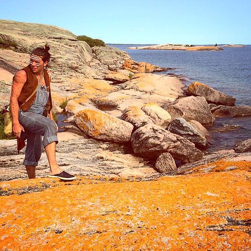
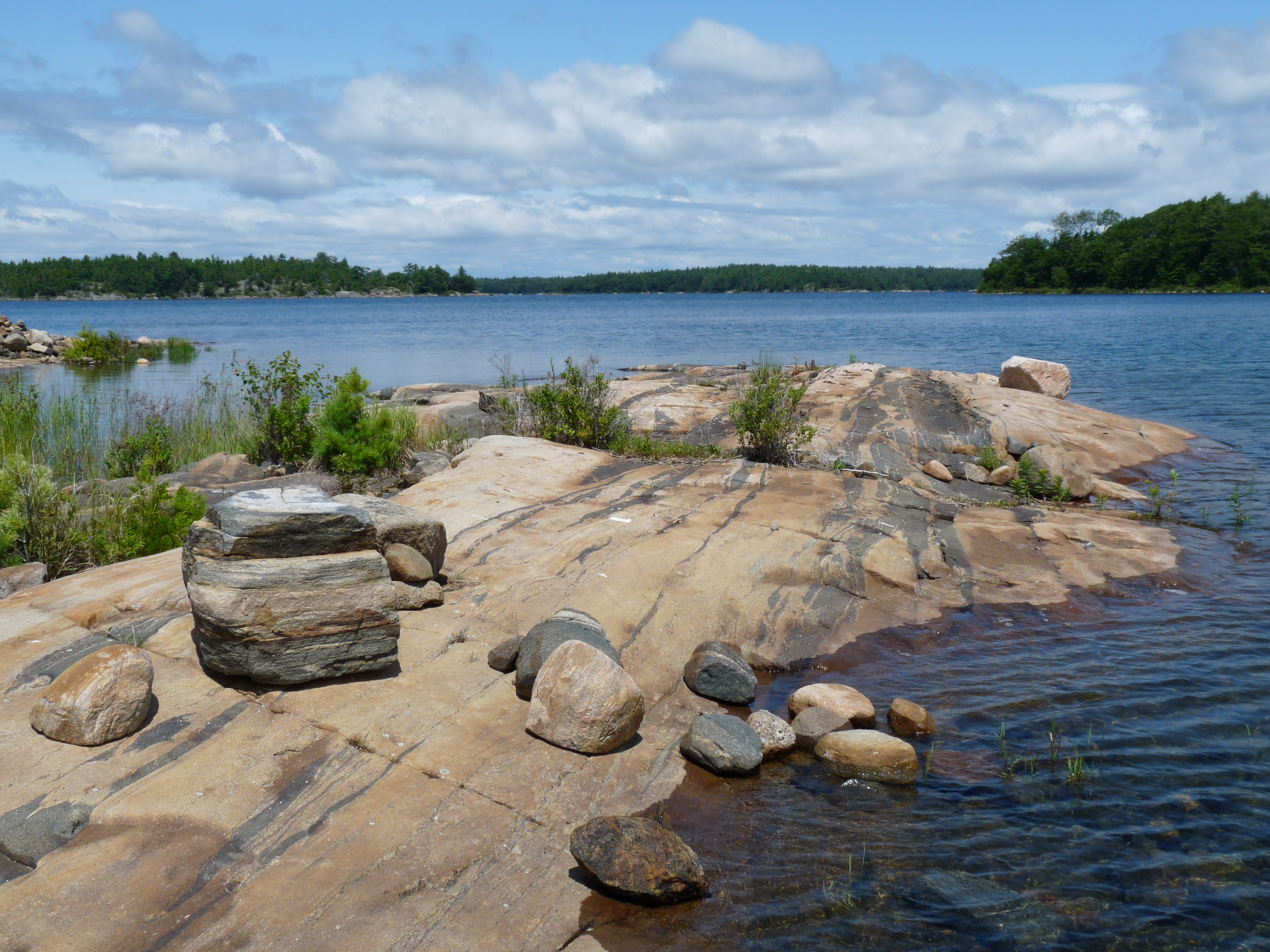
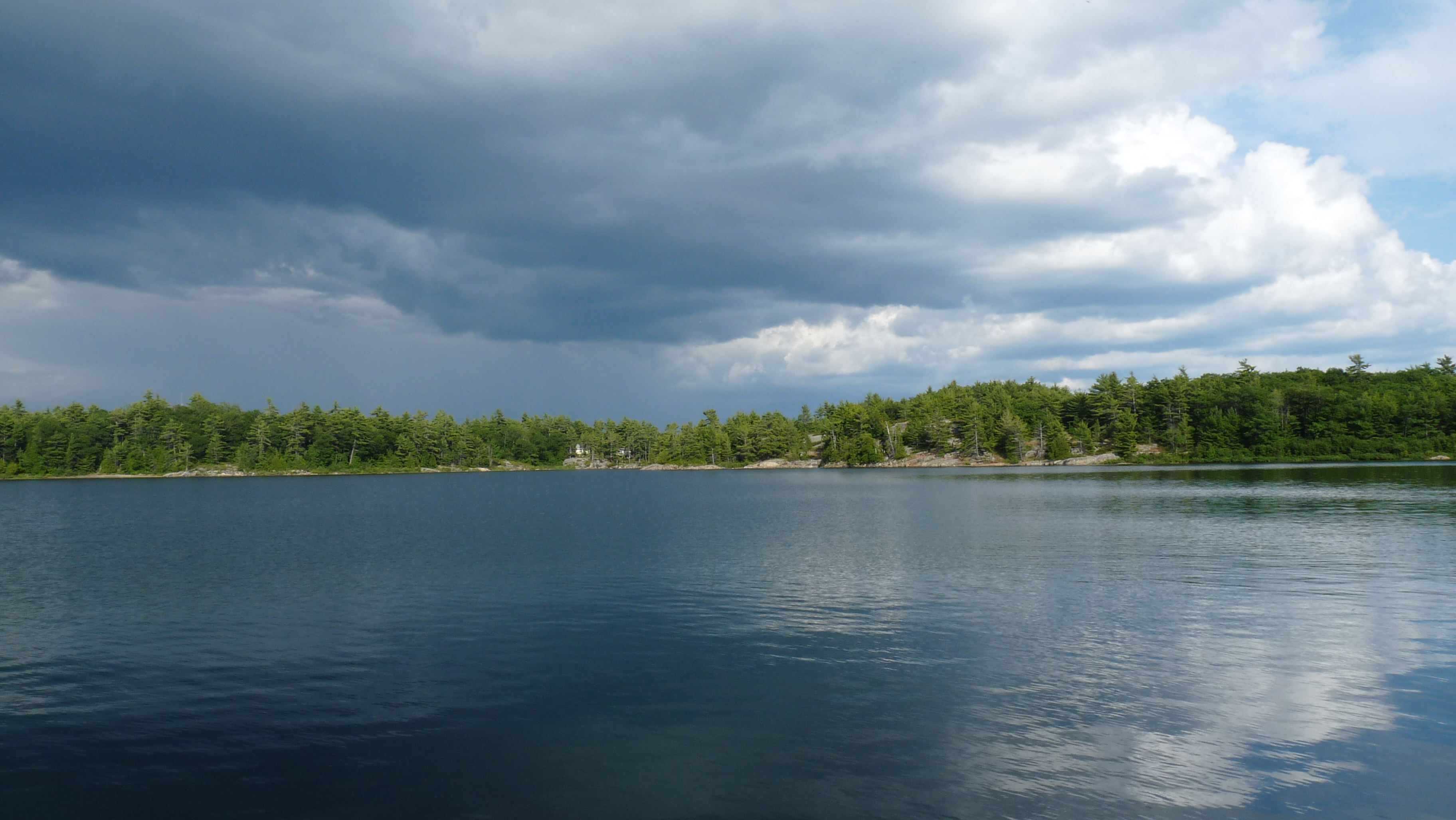
Related Photos:
bird`s eye view
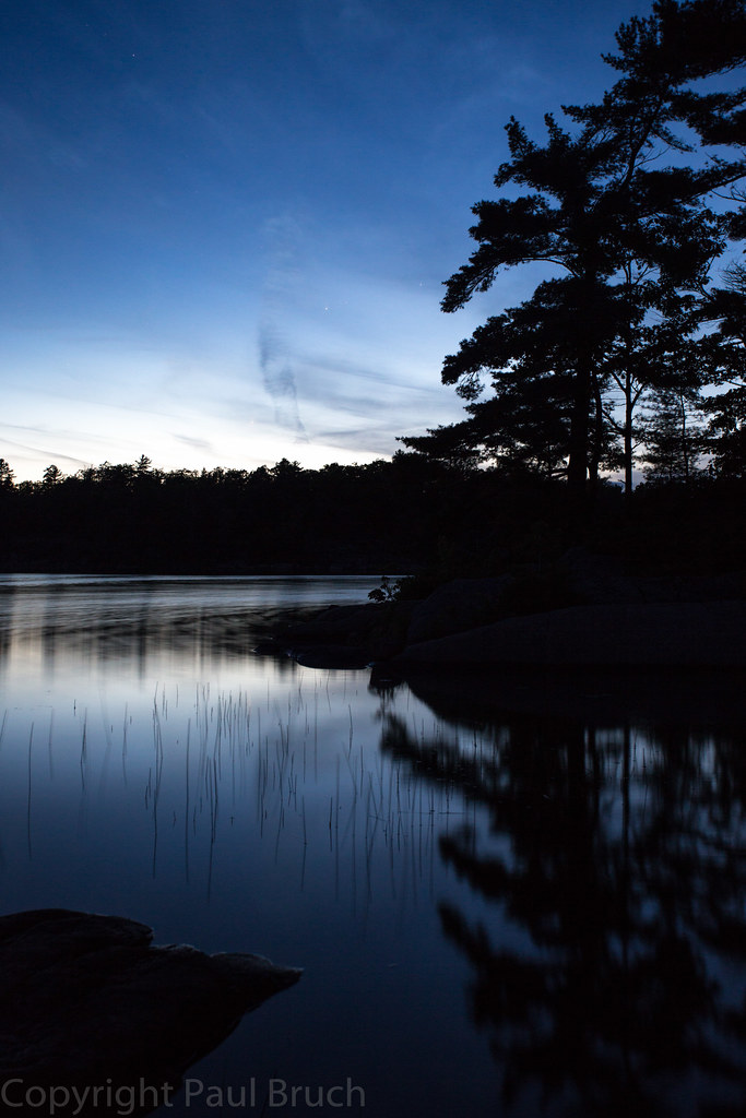
Massasauga PP night

Cliff View

My Current View
090719 1
IMG 20090720 0910
wwt02_sunset-front10
#healylake #cottagevacation

Fall Colours 2010 (8 of 8)
IMG 20090722 0137
IMG 20090722 0150
Massasauga 138
IMG 20090722 0140
IMG 20090720 0911
#amazing #rocks in the #GeorgianBay at Southeast Wooded Pine Island
...
IMG 20090722 0149
wwt02_sunset-no909
IMG 20090722 0155
wwt02_sunset-no904
hard and direct landscape
IMG 20090724 0306
IMG 20090719 0819
IMG 20090719 0821
IMG 20090722 0271
Topographic Map of - Harrison Trail, MacTier, ON P0C 1H0, Canada
Find elevation by address:

Places near - Harrison Trail, MacTier, ON P0C 1H0, Canada:
Ogemawahj Rd, MacTier, ON P0C 1H0, Canada
Twelve Mile Bay Rd, MacTier, ON P0C 1H0, Canada
Moon River
124 Bon Echo Rd
8 Spring Ln
P2a 2w8
15 Trillium Trail
6 Bay St
Parry Sound
Mactier
281 Stewart Lake Rd
103 Wesley Rd
McDonald Rd, MacTier, ON P0C 1H0, Canada
35 Marshall Rd
Lake Joseph
3 Museum Rd, Parry Sound, ON P2A 2W8, Canada
77 Trout Lake Rd
Seguin
P2a 2w7
Unit 16
Recent Searches:
- Elevation of Corso Fratelli Cairoli, 35, Macerata MC, Italy
- Elevation of Tallevast Rd, Sarasota, FL, USA
- Elevation of 4th St E, Sonoma, CA, USA
- Elevation of Black Hollow Rd, Pennsdale, PA, USA
- Elevation of Oakland Ave, Williamsport, PA, USA
- Elevation of Pedrógão Grande, Portugal
- Elevation of Klee Dr, Martinsburg, WV, USA
- Elevation of Via Roma, Pieranica CR, Italy
- Elevation of Tavkvetili Mountain, Georgia
- Elevation of Hartfords Bluff Cir, Mt Pleasant, SC, USA