Elevation of Georgian Bay, ON, Canada
Location: Canada > Ontario > Muskoka District Municipality >
Longitude: -79.912292
Latitude: 44.9658374
Elevation: 183m / 600feet
Barometric Pressure: 99KPa
Elevation Map:
Satellite Map:
Related Photos:
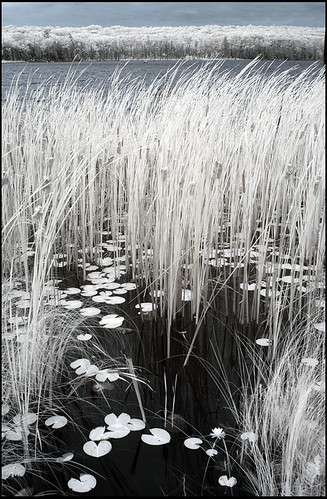
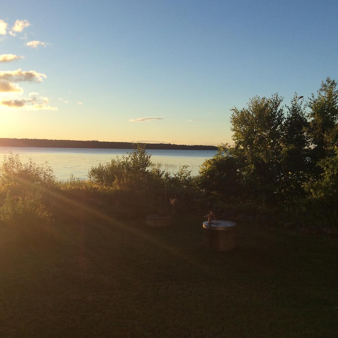
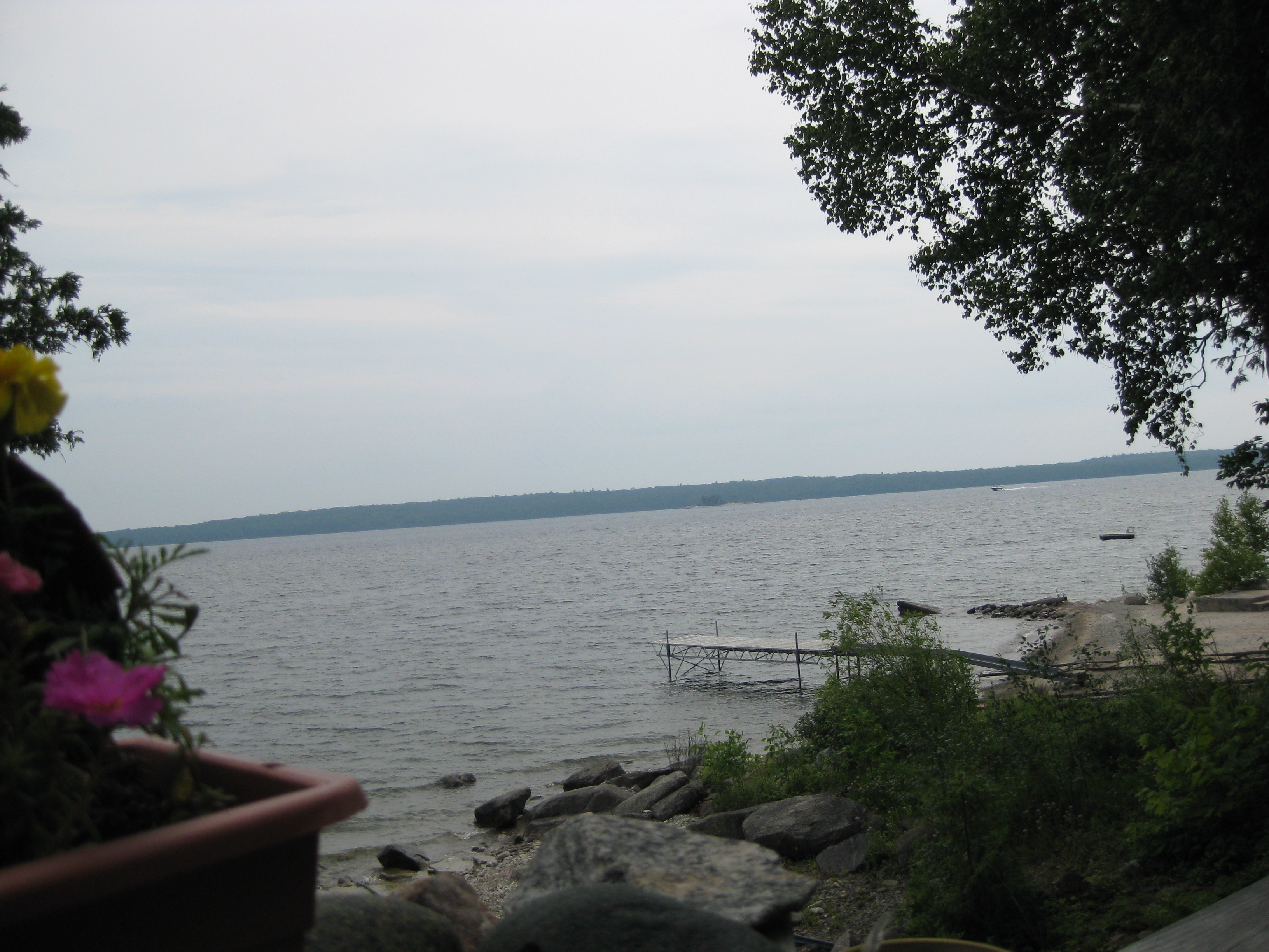
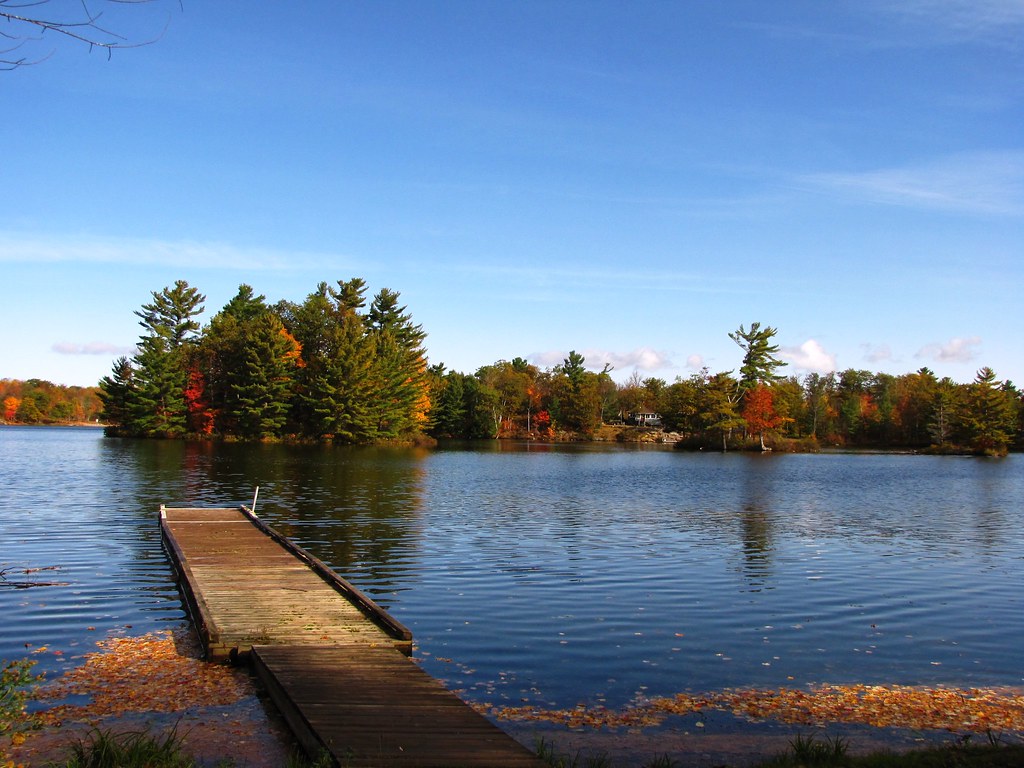
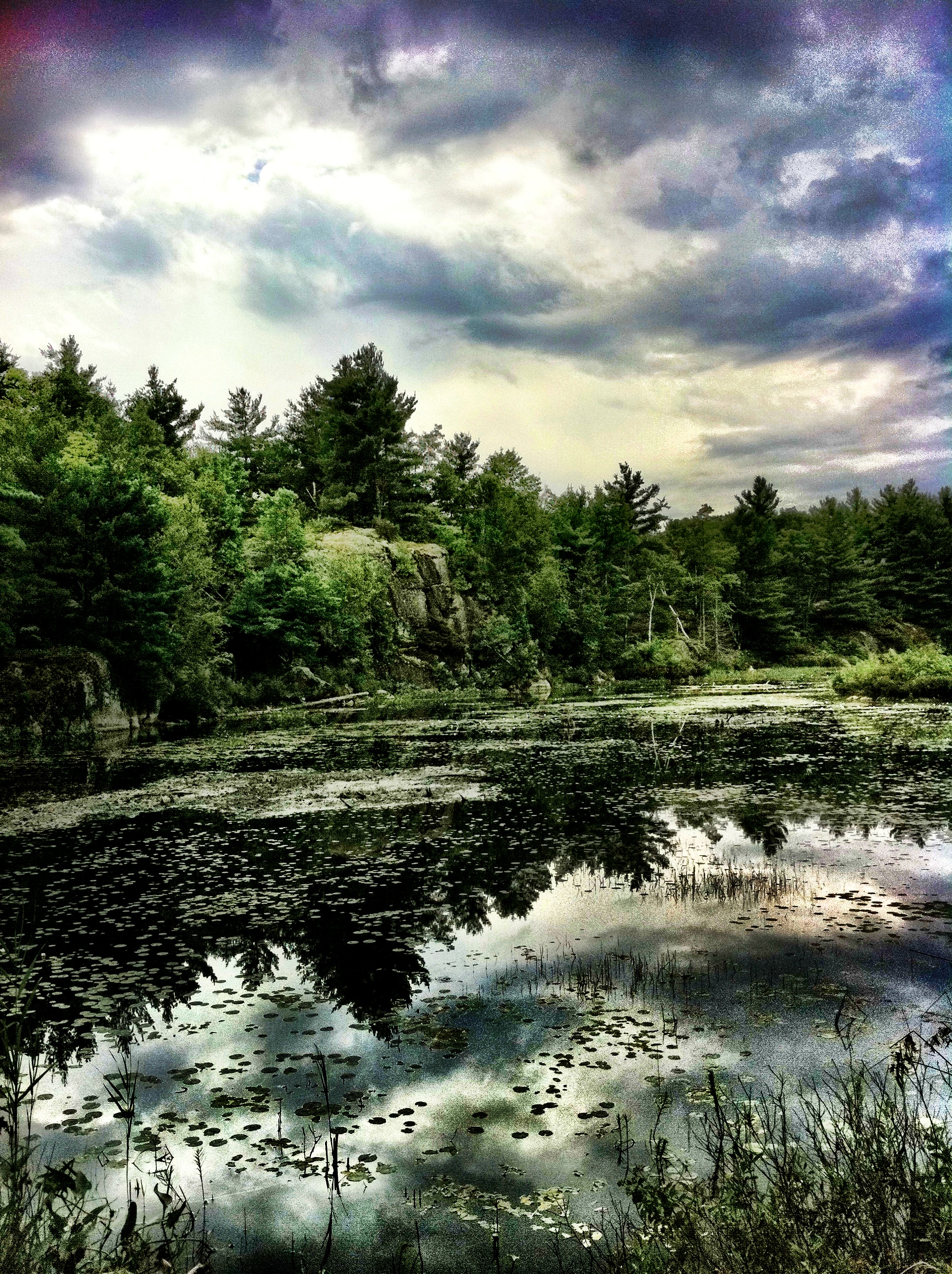
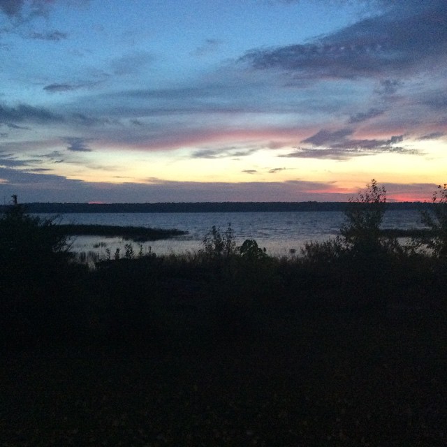
pond perspective
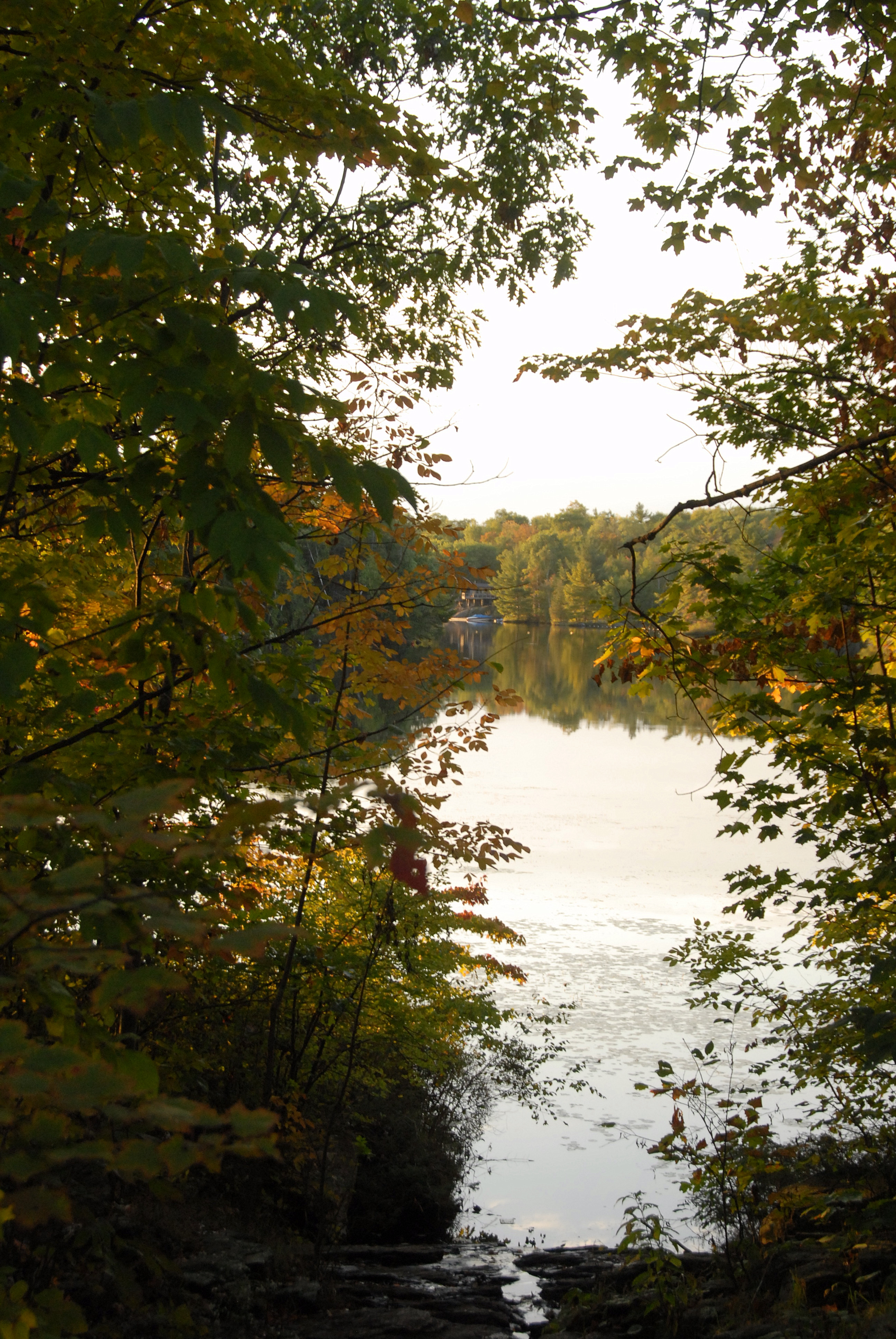
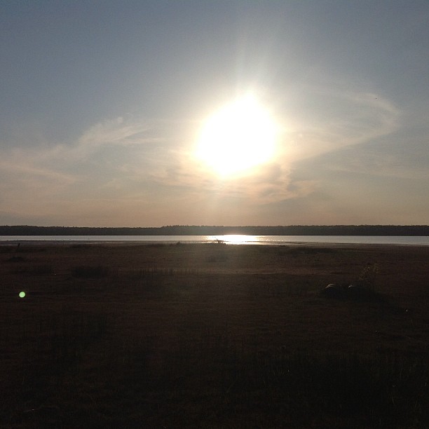
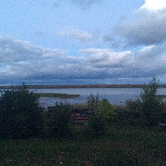
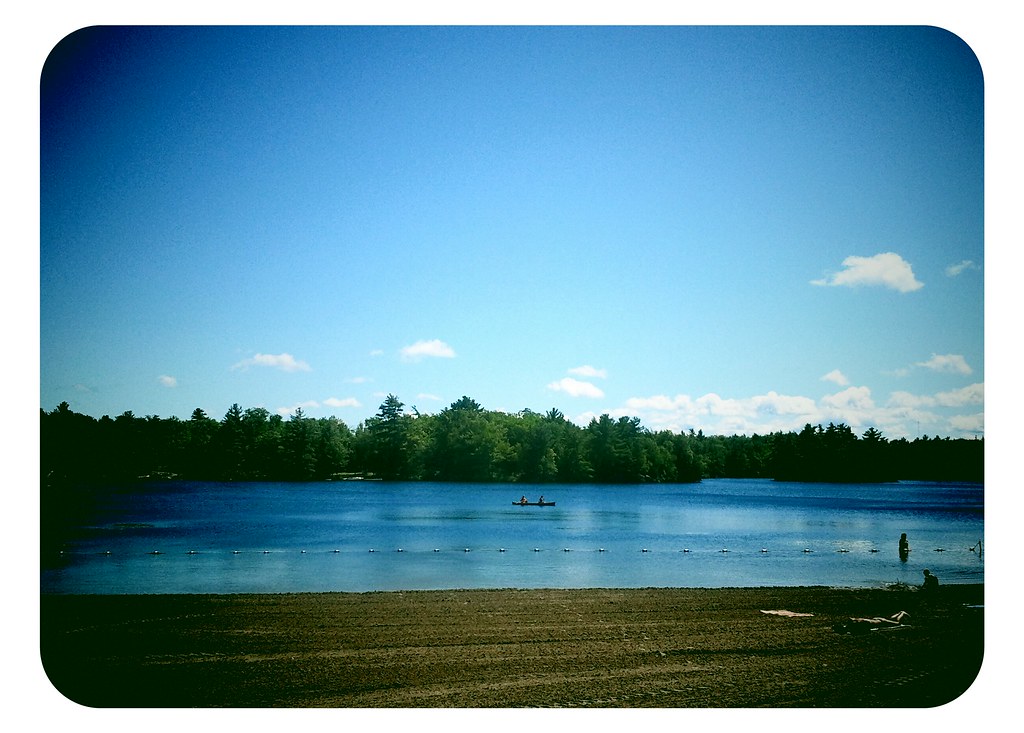
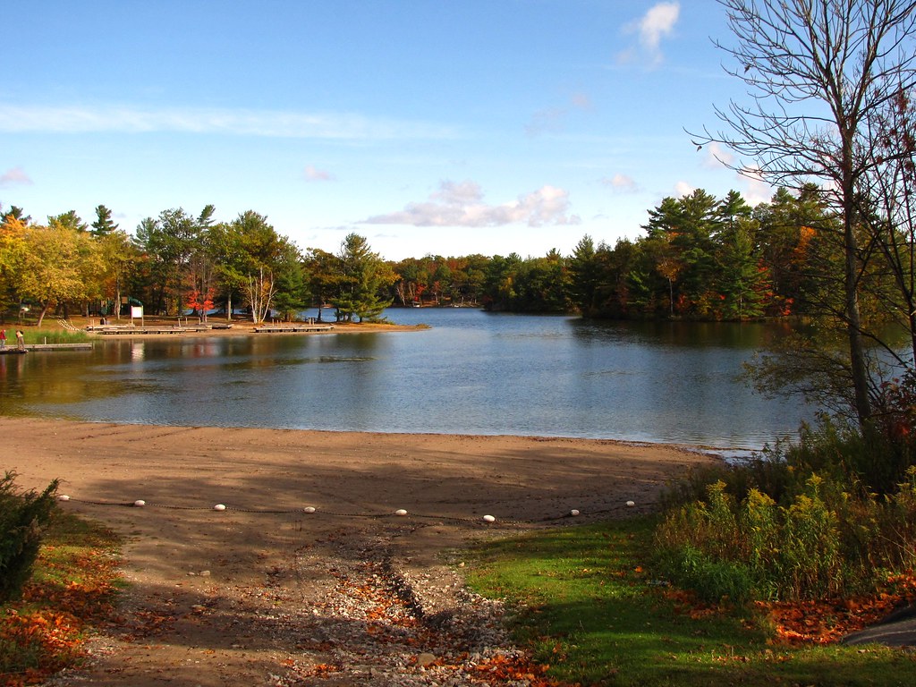
Lake view

Good night Facebook. Got to love this view. I love summer in canada. #mylife #ilovecanada #kendrick #kendrickkemp #summer #vacationincanada #lifeisbetterincanada #sunset #ilovethisview #cantbuythisatalll #itiswhatitis
Kettle's Lake - Awenda Provincial Park

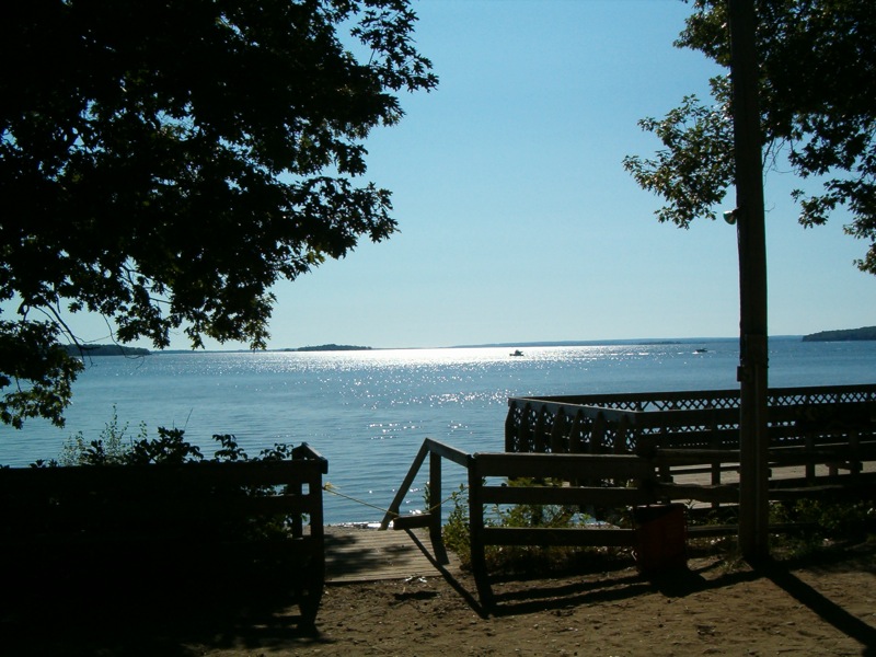
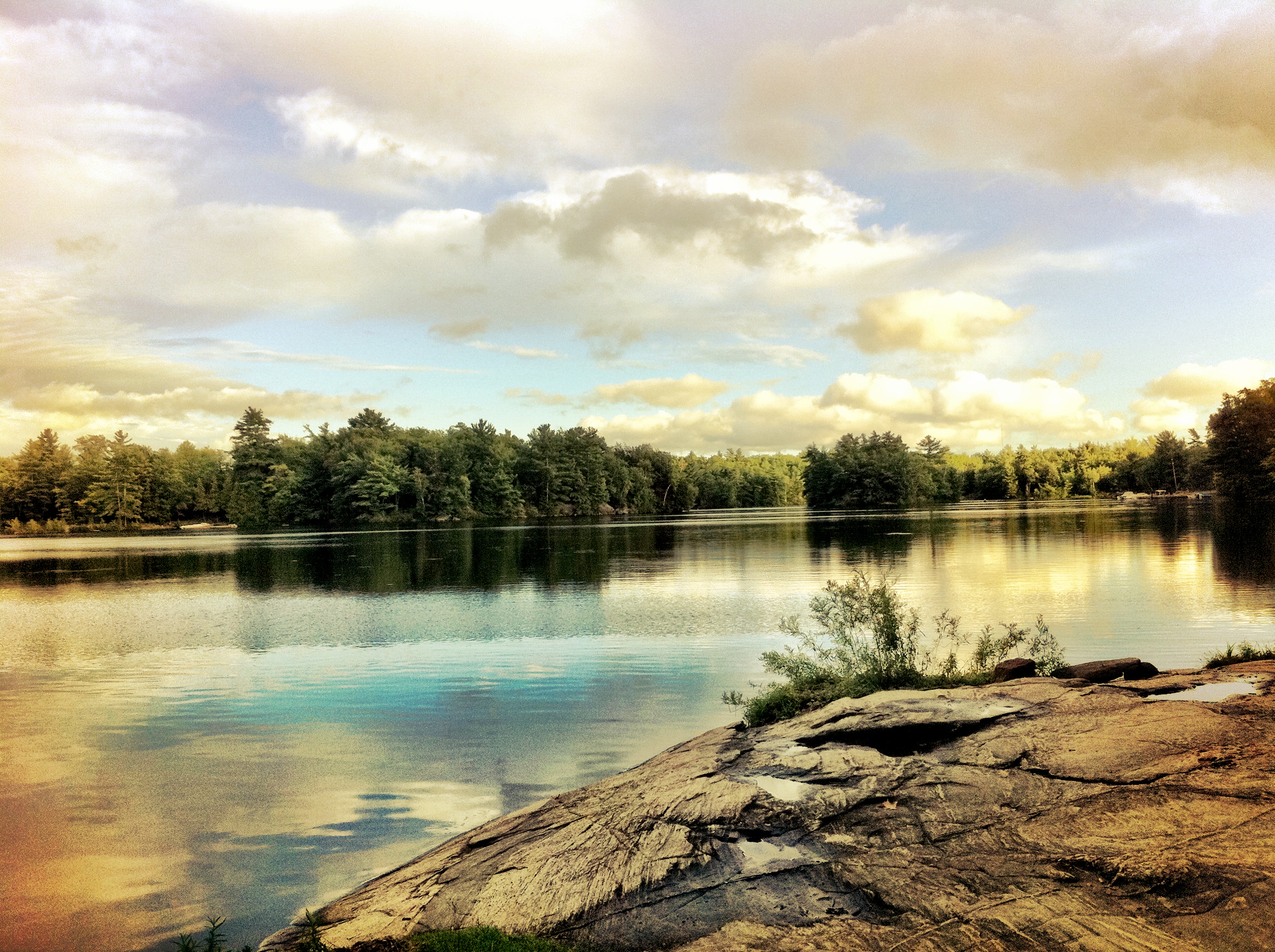
GB View

McDonald Lake
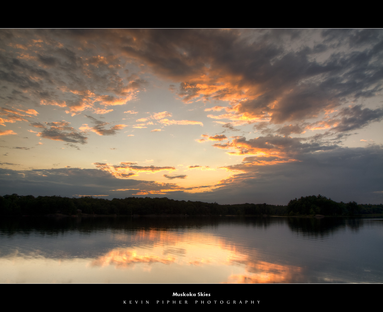
Muskoka Skies

McDonald Lake

McDonald Lake

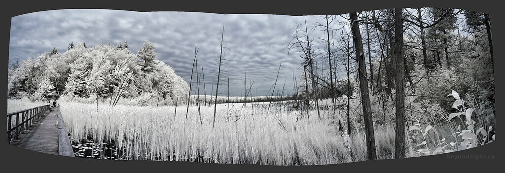
Blackwater Valley

Blackwater Valley
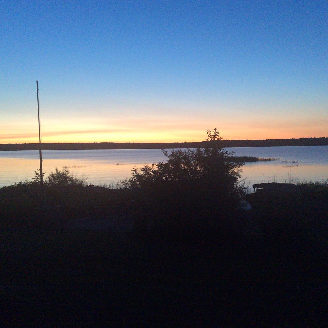
Enjoying a coffee and the view
View of the bay

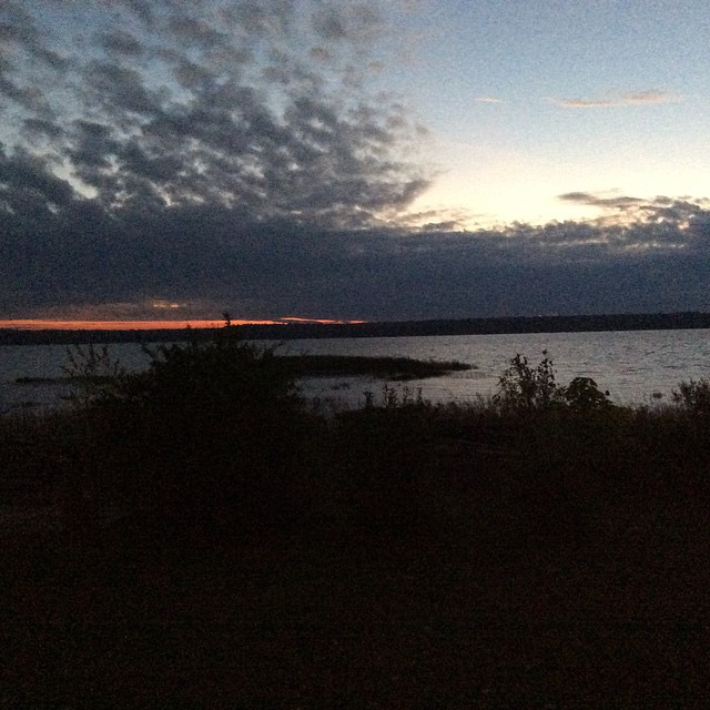
My Current View

Georgian Bay 2013-76
HPIM6971_2.JPG

View of the lake from the resort
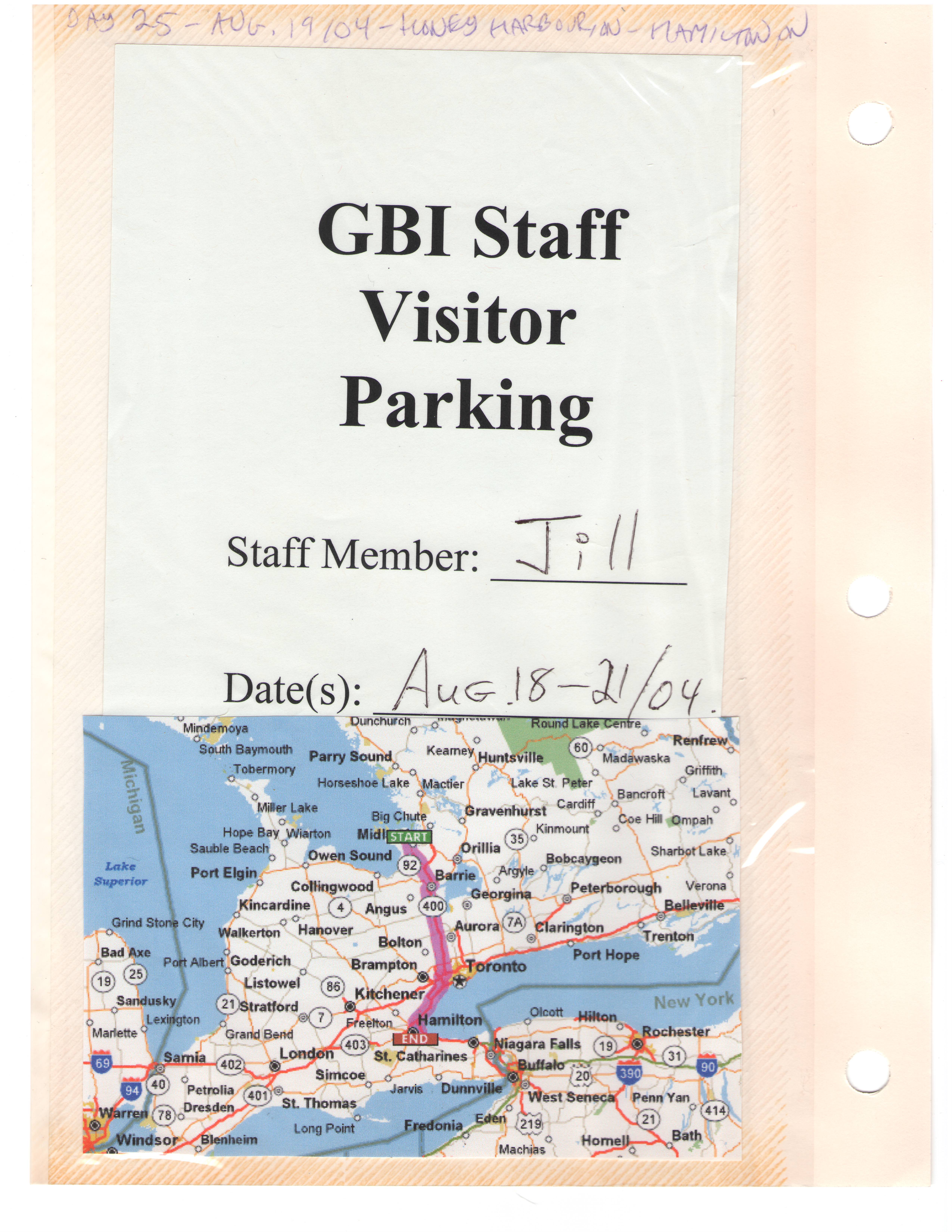
Road Trip 20040091

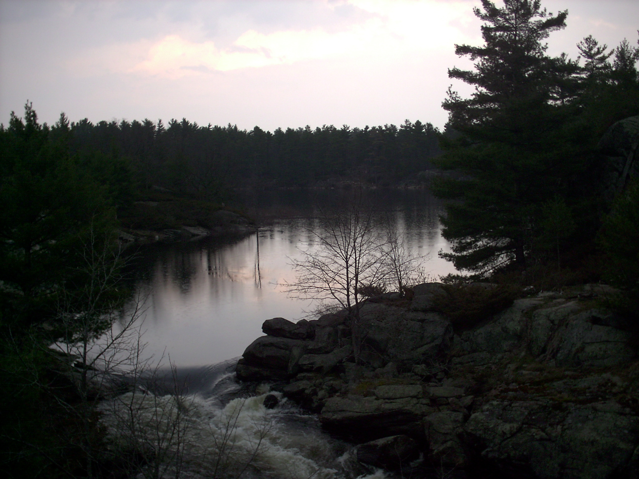
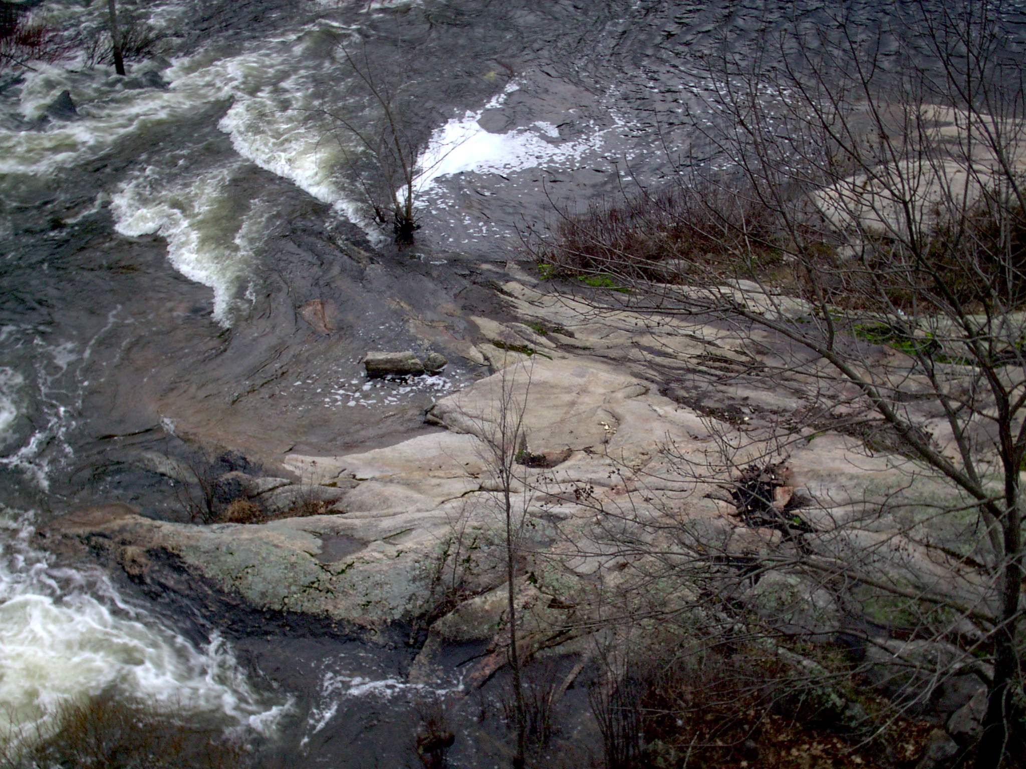
Under the bridge
View from the deck (by Sophie)
Cottage Time
P1000416.JPG
2005-2008 121
Dog Play Area, Six Mile Lake Provincial Park, ON
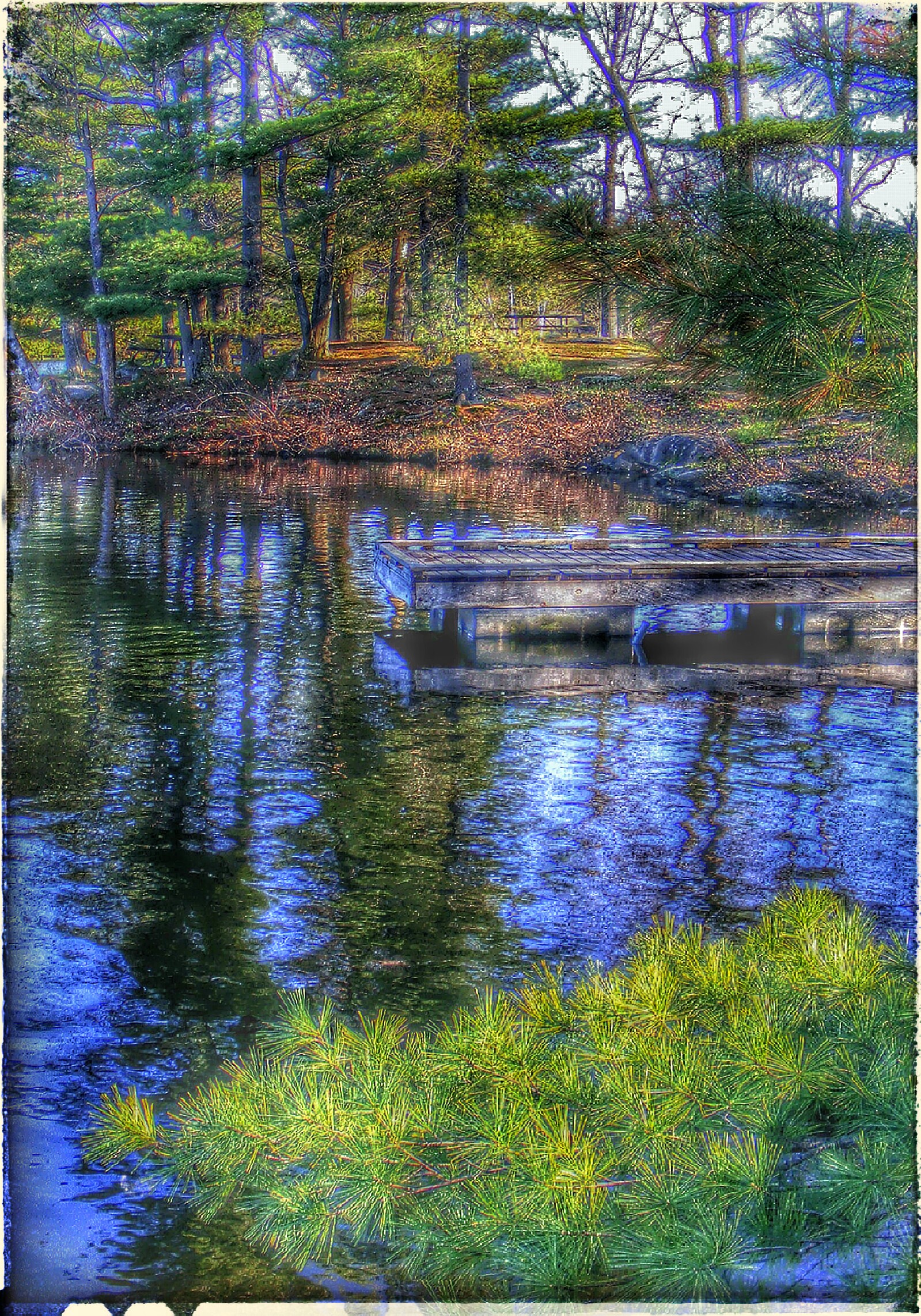
Dock of the Bay
Six Mile Lake
2005-2008 124
Six Mile Lake Ontario
Day Use Beach, Six Mile Lake Provincial Park, ON
October 13th 2014. A cool 6C morning near Penetanguishene.

Dog Play Area, Six Mile Lake Provincial Park, ON

P1000411.JPG
Evening by the lake
Awenda Park, Ontario - 0001
HAMELIN PARK 2011
June 25 2015. A warm 12C morning near Penetanguishene
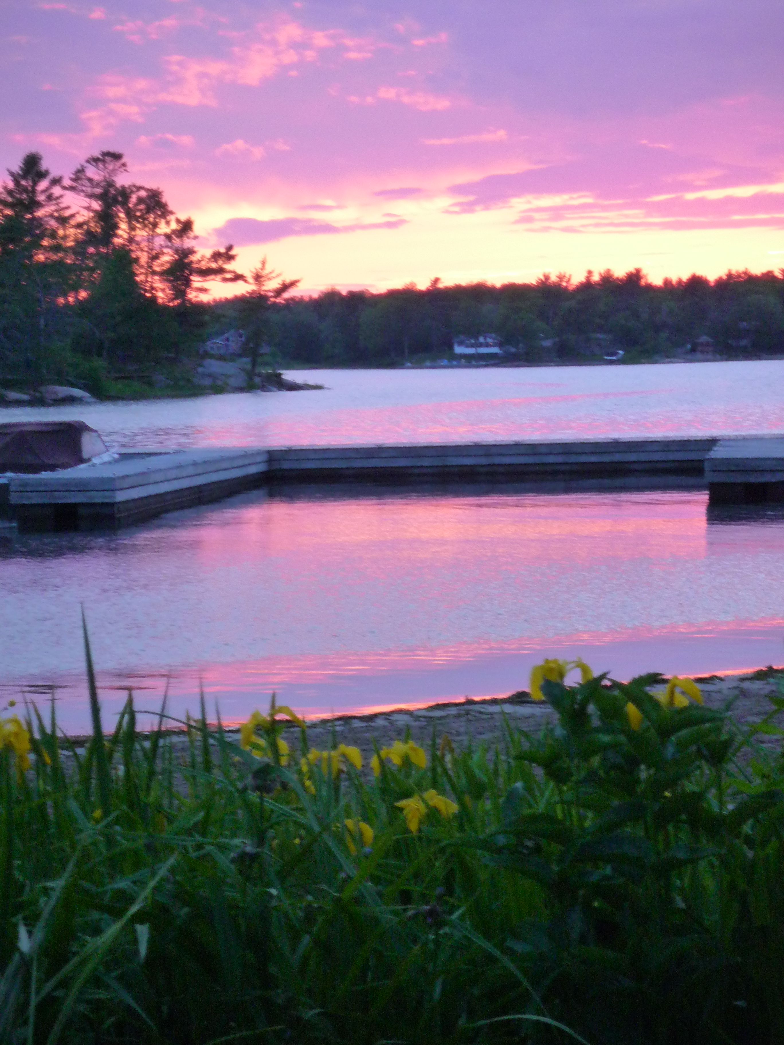
wwt02_sunset-front10

Fall Colours 2010 (8 of 8)
October 14th 2014. A warn 16C morning near Penetanguishene.
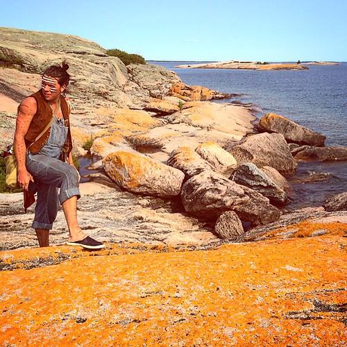
#amazing #rocks in the #GeorgianBay at Southeast Wooded Pine Island
July 2nd 2015. A warm 11C morning near Penetanguishene.
Topographic Map of Georgian Bay, ON, Canada
Find elevation by address:

Places in Georgian Bay, ON, Canada:
Mactier
Port Severn
John Buchler Rd, Coldwater, ON L0K 1E0, Canada
52 Old Tower Rd, Georgian Bay, ON P0C, Canada
Old Tower Road
Honey Harbour
Moon River
Places near Georgian Bay, ON, Canada:
Champlain Rd, Tiny, ON L9M 0B6, Canada
1701 Champlain Rd
52 Old Tower Rd, Georgian Bay, ON P0C, Canada
Old Tower Road
42 Delawana Rd, Port Severn, ON L0K 1S0, Canada
Honey Harbour Boat Club's Marina
2550 Champlain Rd
2435 Champlain Rd
Honey Harbour
315 Peek A Boo Trail
Birch Acres Dr, Port Severn, ON L0K 1S0, Canada
415 Macavalley Rd
251 Macavalley Rd
251 Macavalley Rd
145 Champlain Rd
Kings Farm Rd, Port Severn, ON L0K 1S0, Canada
Penetanguishene
L9m 0a1
151 Marina Park Ave
66 E Beach Rd
Recent Searches:
- Elevation of Corso Fratelli Cairoli, 35, Macerata MC, Italy
- Elevation of Tallevast Rd, Sarasota, FL, USA
- Elevation of 4th St E, Sonoma, CA, USA
- Elevation of Black Hollow Rd, Pennsdale, PA, USA
- Elevation of Oakland Ave, Williamsport, PA, USA
- Elevation of Pedrógão Grande, Portugal
- Elevation of Klee Dr, Martinsburg, WV, USA
- Elevation of Via Roma, Pieranica CR, Italy
- Elevation of Tavkvetili Mountain, Georgia
- Elevation of Hartfords Bluff Cir, Mt Pleasant, SC, USA