Elevation of Port Severn, ON L0K, Canada
Location: Canada > Ontario > Muskoka District Municipality > Georgian Bay >
Longitude: -79.733959
Latitude: 44.8052405
Elevation: 180m / 591feet
Barometric Pressure: 99KPa
Elevation Map:
Satellite Map:
Related Photos:

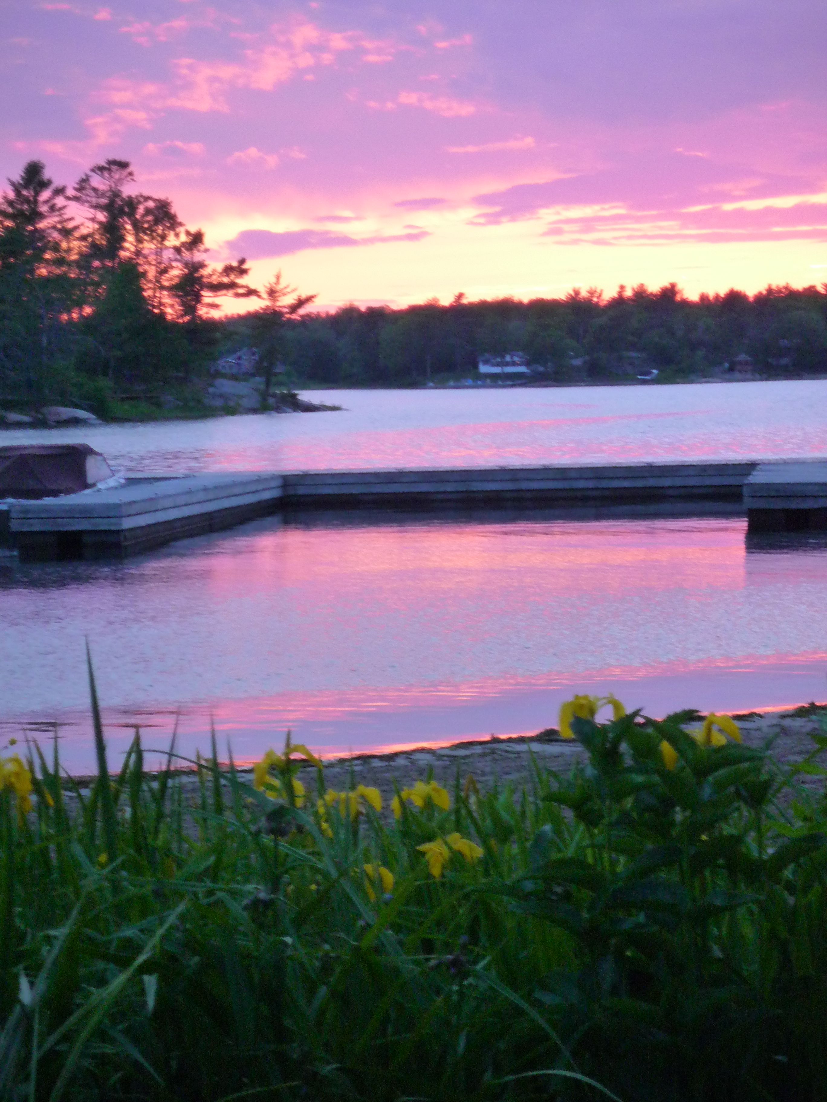
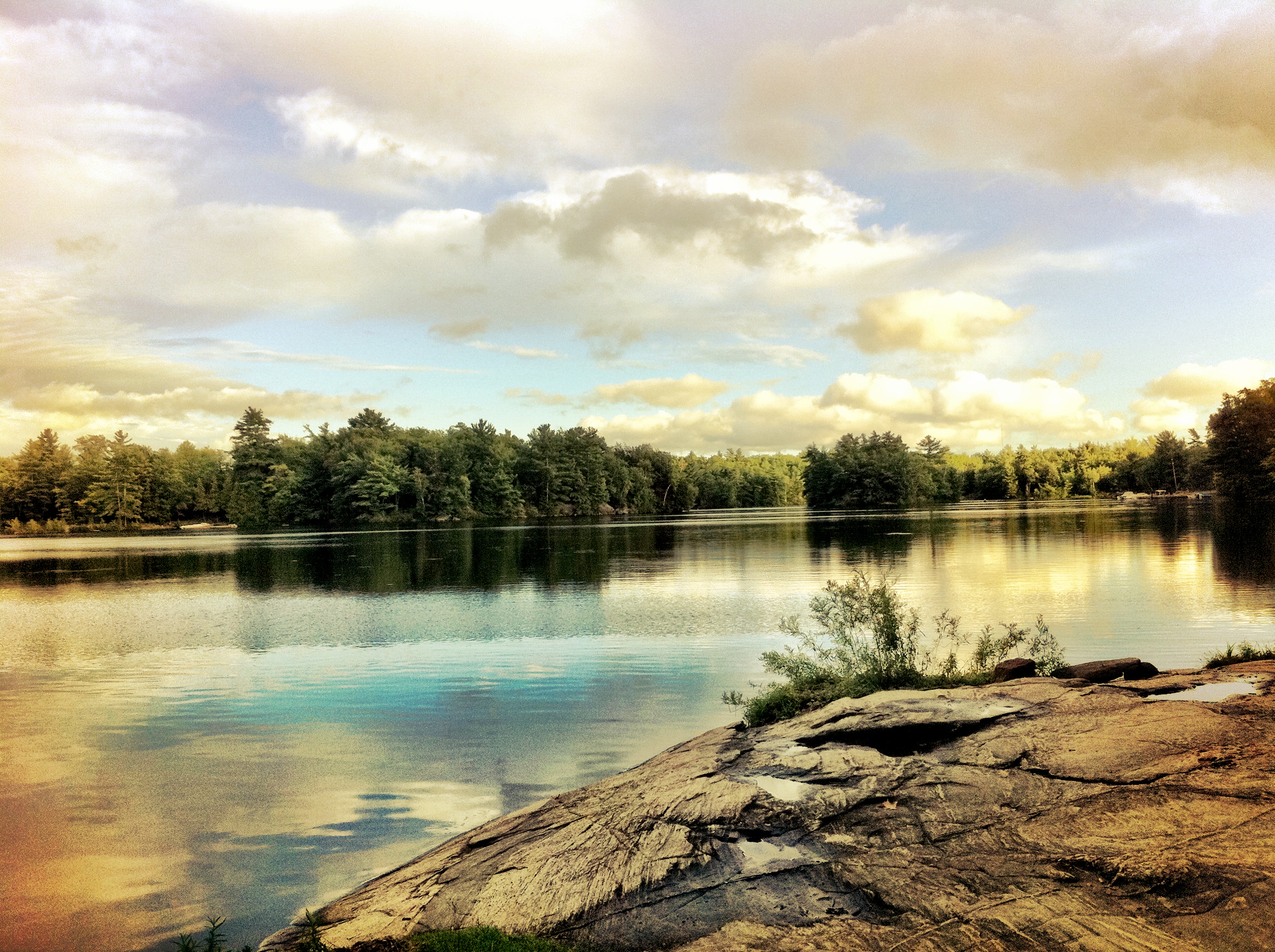
On Golden Pond
Little Car - Big Boat
Enjoying a coffee and the view
Giant Looking Sky Around Sun-Kellie Hastings
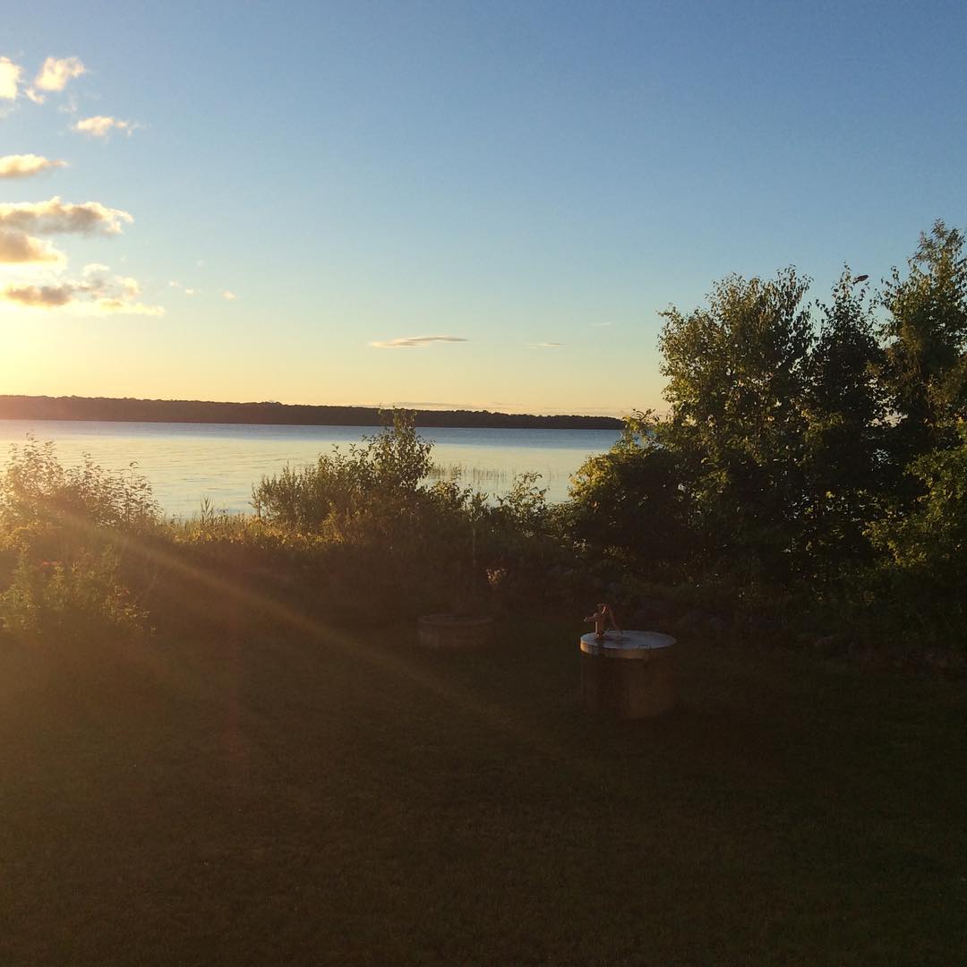
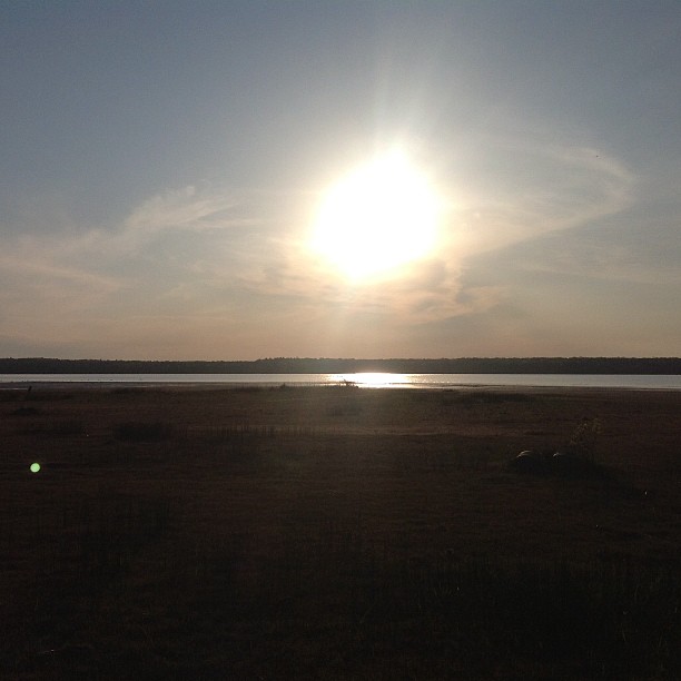
Lake view

Good night Facebook. Got to love this view. I love summer in canada. #mylife #ilovecanada #kendrick #kendrickkemp #summer #vacationincanada #lifeisbetterincanada #sunset #ilovethisview #cantbuythisatalll #itiswhatitis
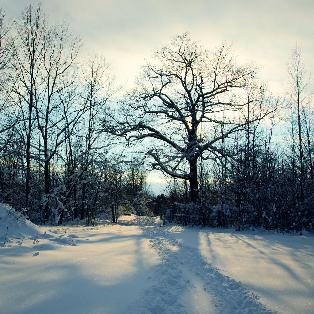
Cold Tree
View of the bay
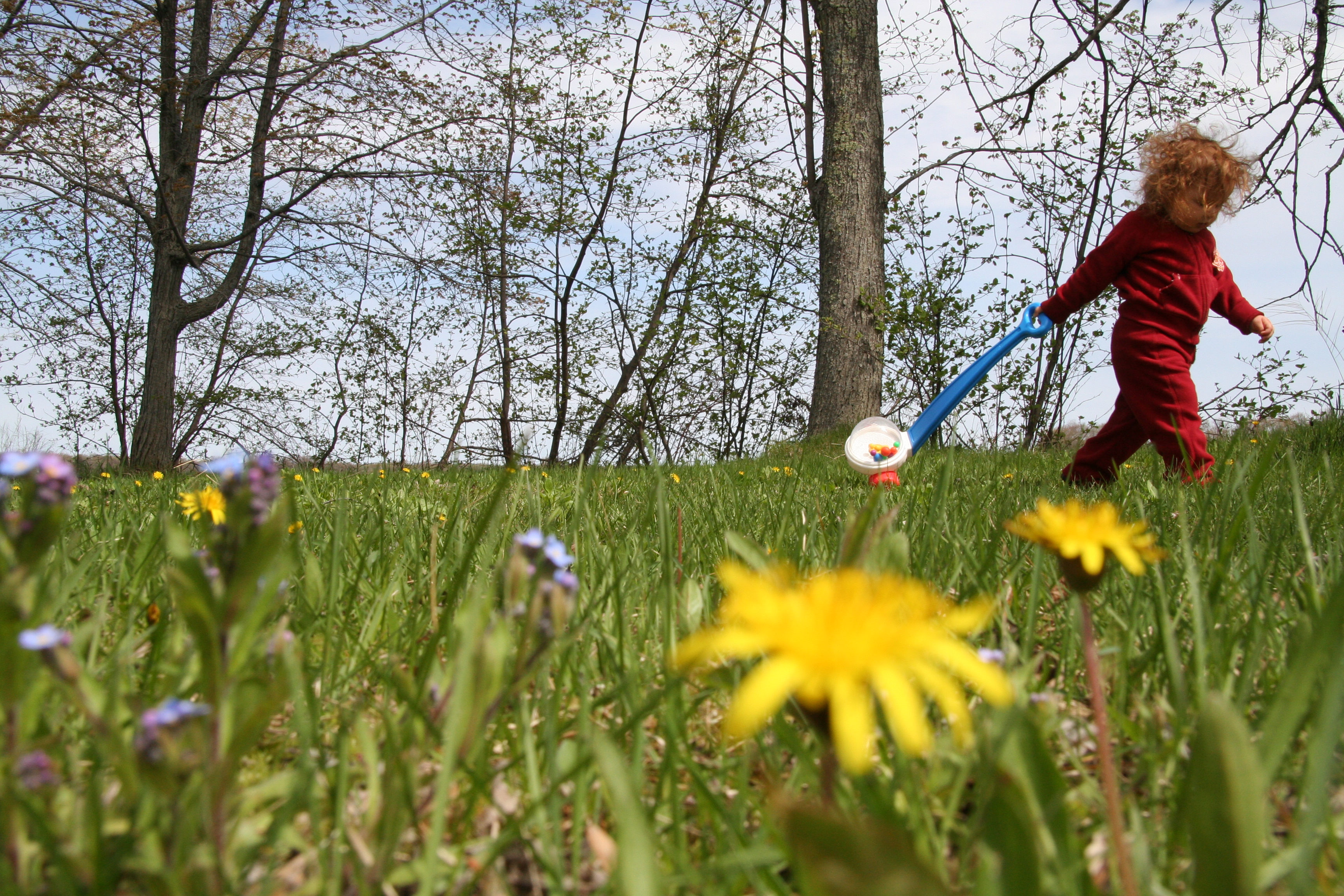
dandelion view
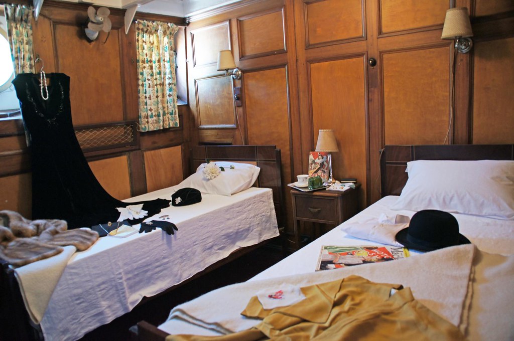
Traveling In High Style

GB View

McDonald Lake
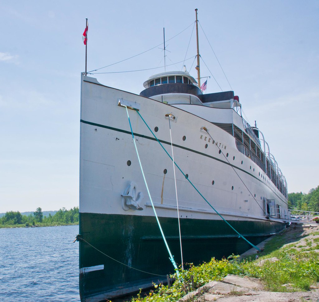
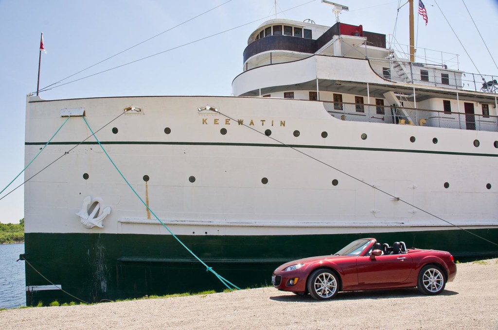
SS Keewatin
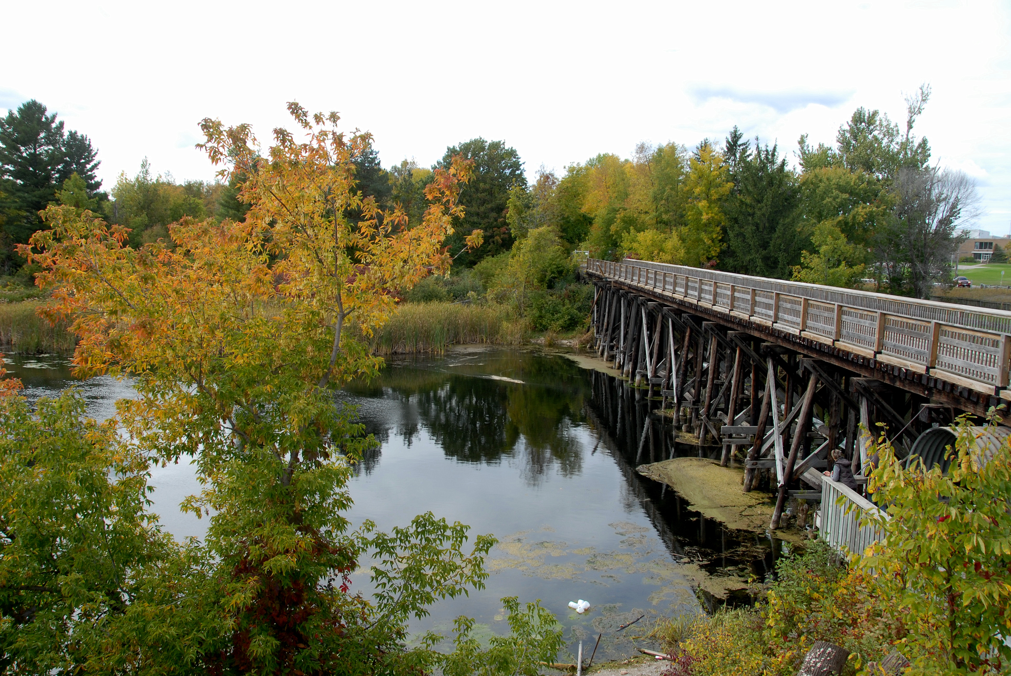
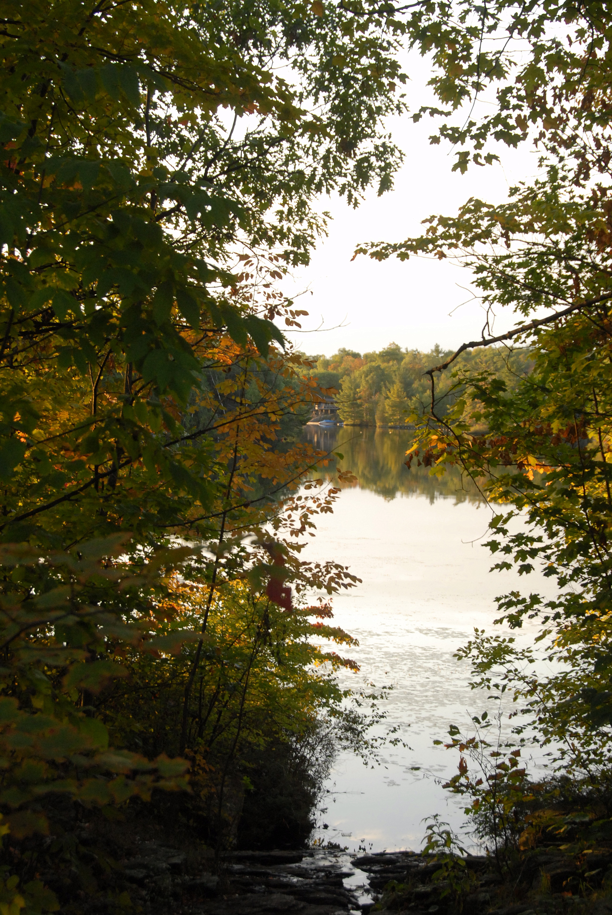
river view
May 24
SS Keewatin

McDonald Lake
Wye Marsh Wildlife Reserve

McDonald Lake
Plane View Ste Marie
SS Keewatin
Coldwater Landscape
P1000416.JPG
2005-2008 121
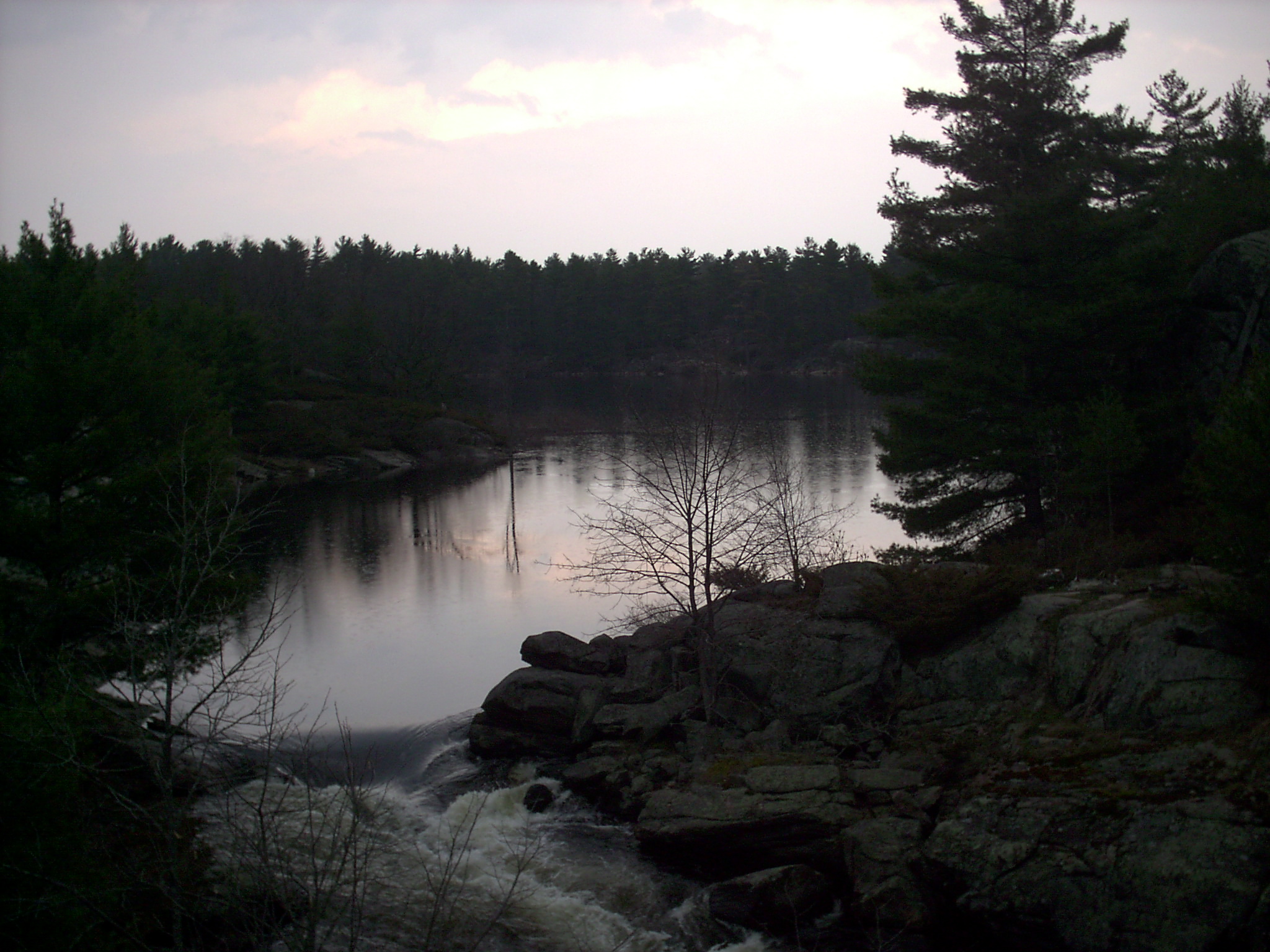
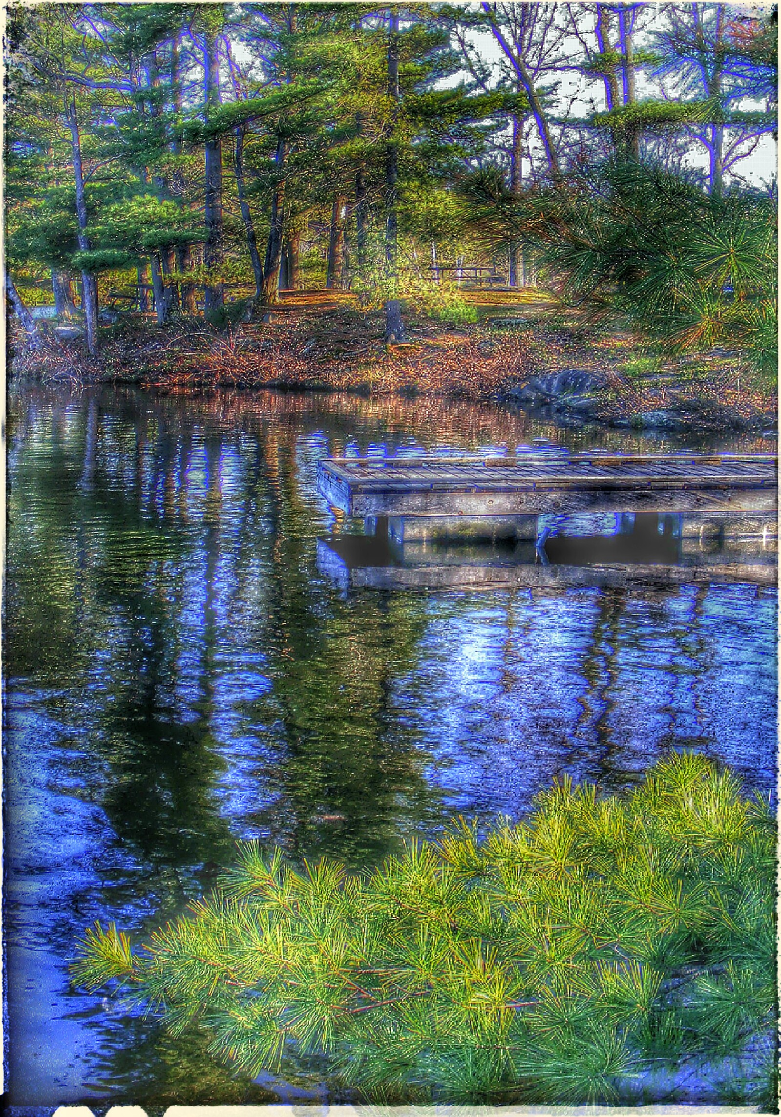
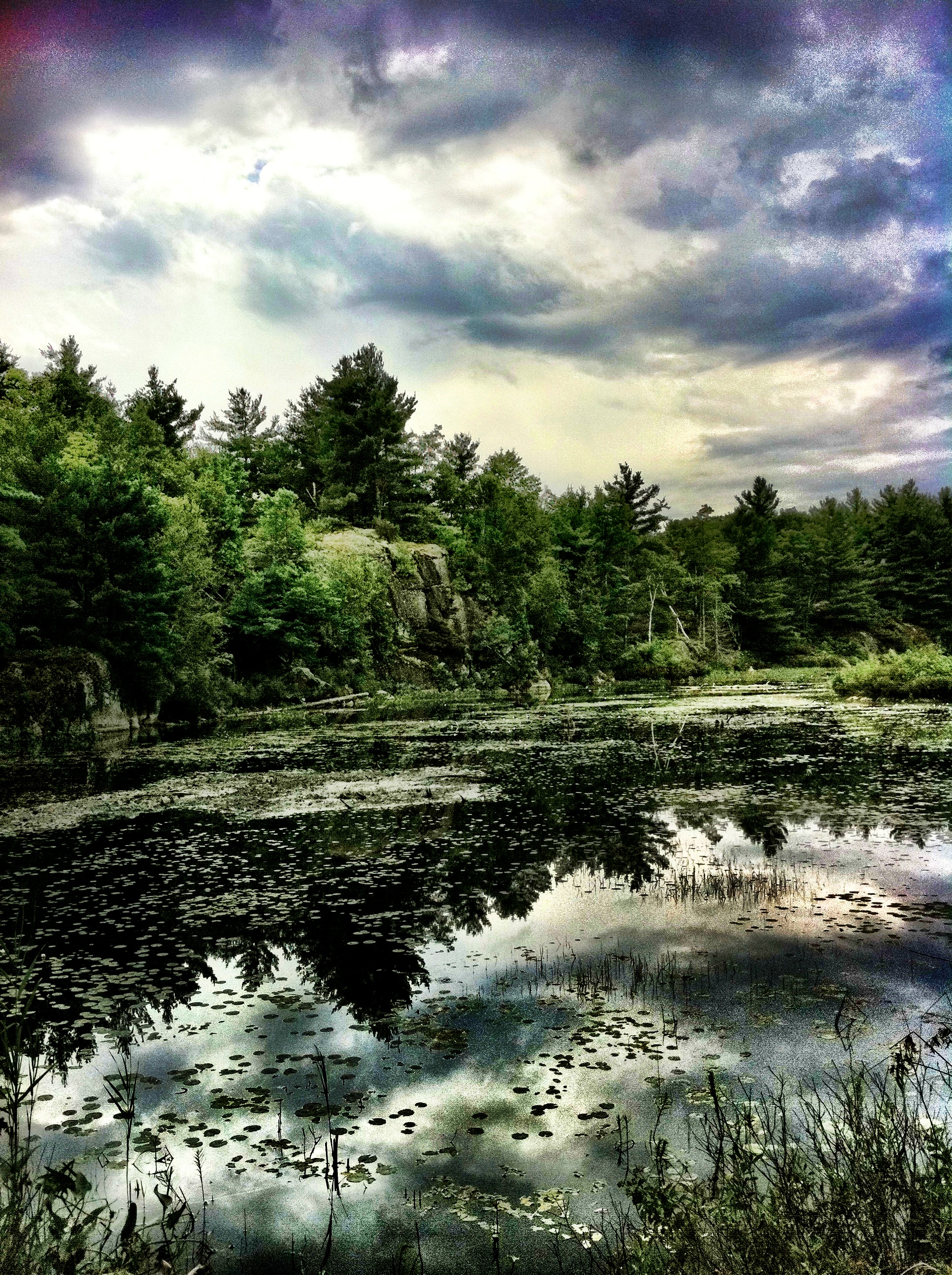
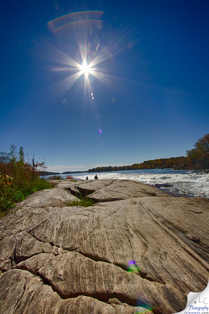
Swift Rapids Pond Reflection - 2
October 14th 2014. A warn 16C morning near Penetanguishene.
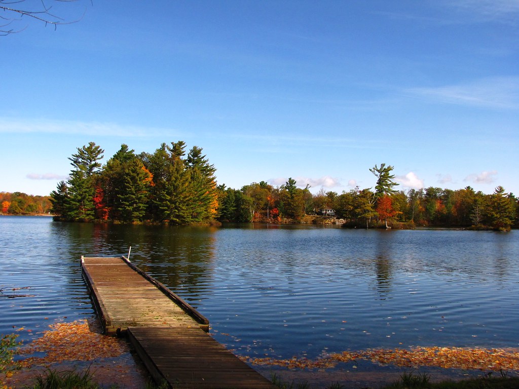
Dock of the Bay
Dog Play Area, Six Mile Lake Provincial Park, ON
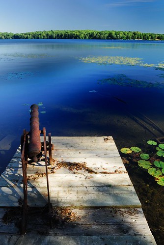
Six Mile Lake
2005-2008 124
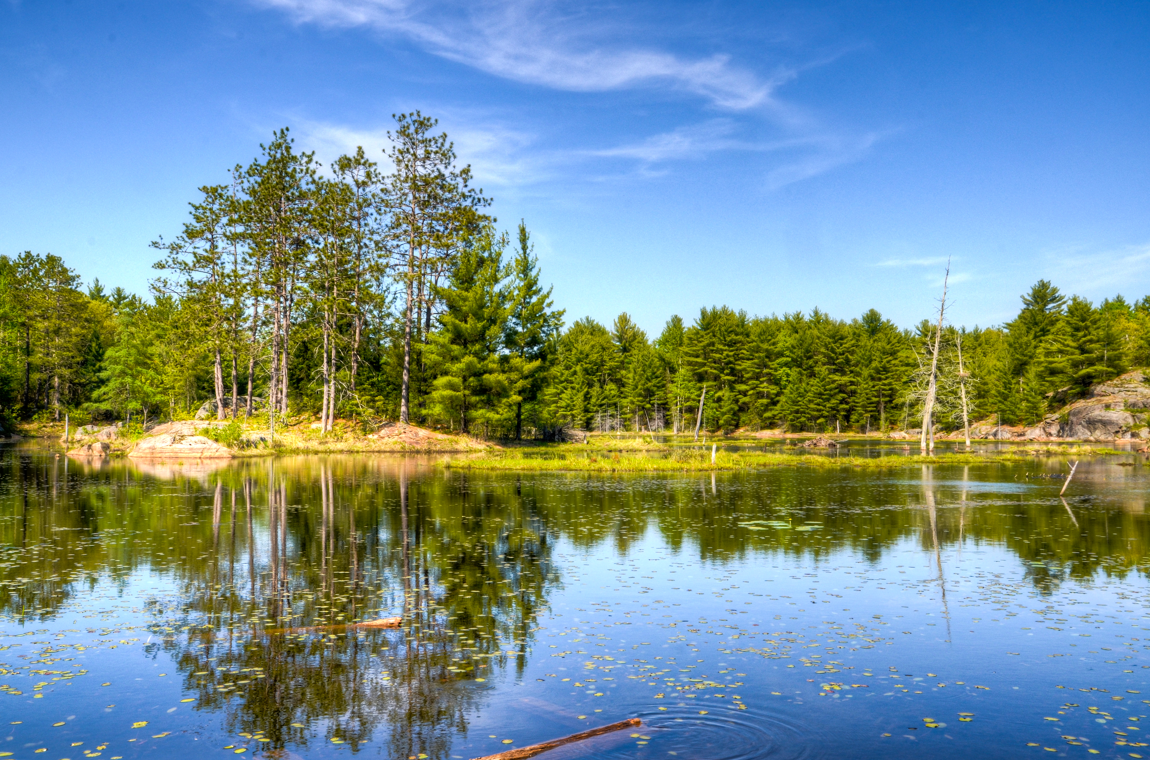
Six Mile Lake Ontario
Morning July 4th 2014. A warm morning near Penetanguishene
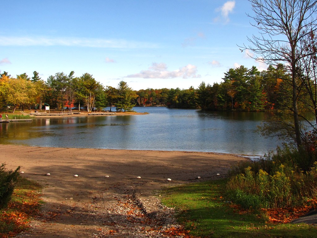
Day Use Beach, Six Mile Lake Provincial Park, ON

Dog Play Area, Six Mile Lake Provincial Park, ON
October 13th 2014. A cool 6C morning near Penetanguishene.

P1000411.JPG

A tiny Christmas tree for flickr
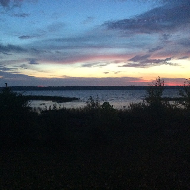
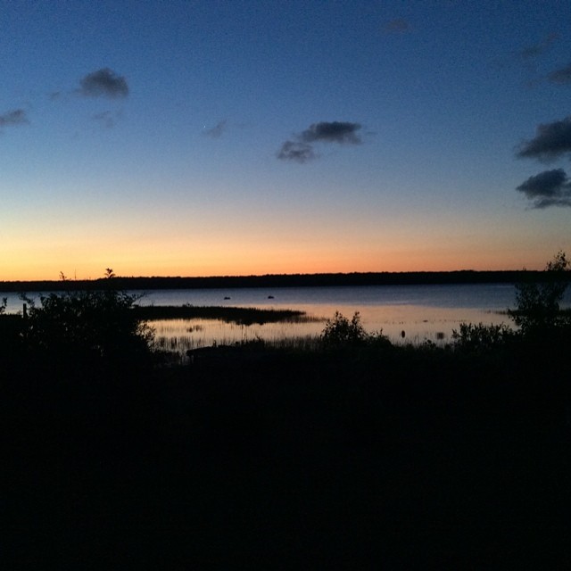
Evening by the lake

Morning July 4th 2014. A warm morning near Penetanguishene
White's Falls
NIK_9970-NX
Topographic Map of Port Severn, ON L0K, Canada
Find elevation by address:

Places in Port Severn, ON L0K, Canada:
42 Delawana Rd, Port Severn, ON L0K 1S0, Canada
Birch Acres Dr, Port Severn, ON L0K 1S0, Canada
Kings Farm Rd, Port Severn, ON L0K 1S0, Canada
Places near Port Severn, ON L0K, Canada:
61 Clapp Trail
110 Alcove Dr
Ruta Road
3912 Darling Island Rd
64 Anderson Crescent
Waubaushene
230 Mountain Ave
Beman Point Ln, Coldwater, ON L0K 1E0, Canada
Waubaushene Beaches Provincial Park
91 Park St
91 Park St
Methodist Island
Township Of Tay
28 Sallow's Dr
34 Sallow's Dr
121 Wycliffe Cove
Albert St, Victoria Harbour, ON L0K 2A0, Canada
Victoria Harbour
17 Becketts Side Rd
Bell Falls
Recent Searches:
- Elevation of Corso Fratelli Cairoli, 35, Macerata MC, Italy
- Elevation of Tallevast Rd, Sarasota, FL, USA
- Elevation of 4th St E, Sonoma, CA, USA
- Elevation of Black Hollow Rd, Pennsdale, PA, USA
- Elevation of Oakland Ave, Williamsport, PA, USA
- Elevation of Pedrógão Grande, Portugal
- Elevation of Klee Dr, Martinsburg, WV, USA
- Elevation of Via Roma, Pieranica CR, Italy
- Elevation of Tavkvetili Mountain, Georgia
- Elevation of Hartfords Bluff Cir, Mt Pleasant, SC, USA