Elevation of Turnbull Road, Turnbull Rd, Cape Fear, NC, USA
Location: United States > North Carolina > Cumberland County > Cedar Creek > Cape Fear >
Longitude: -78.683799
Latitude: 34.8930219
Elevation: 34m / 112feet
Barometric Pressure: 101KPa
Elevation Map:
Satellite Map:
Related Photos:

Golden-winged Skimmer Male 2

The S-XP

Chris getting more miles

Mark at Cedar Creek
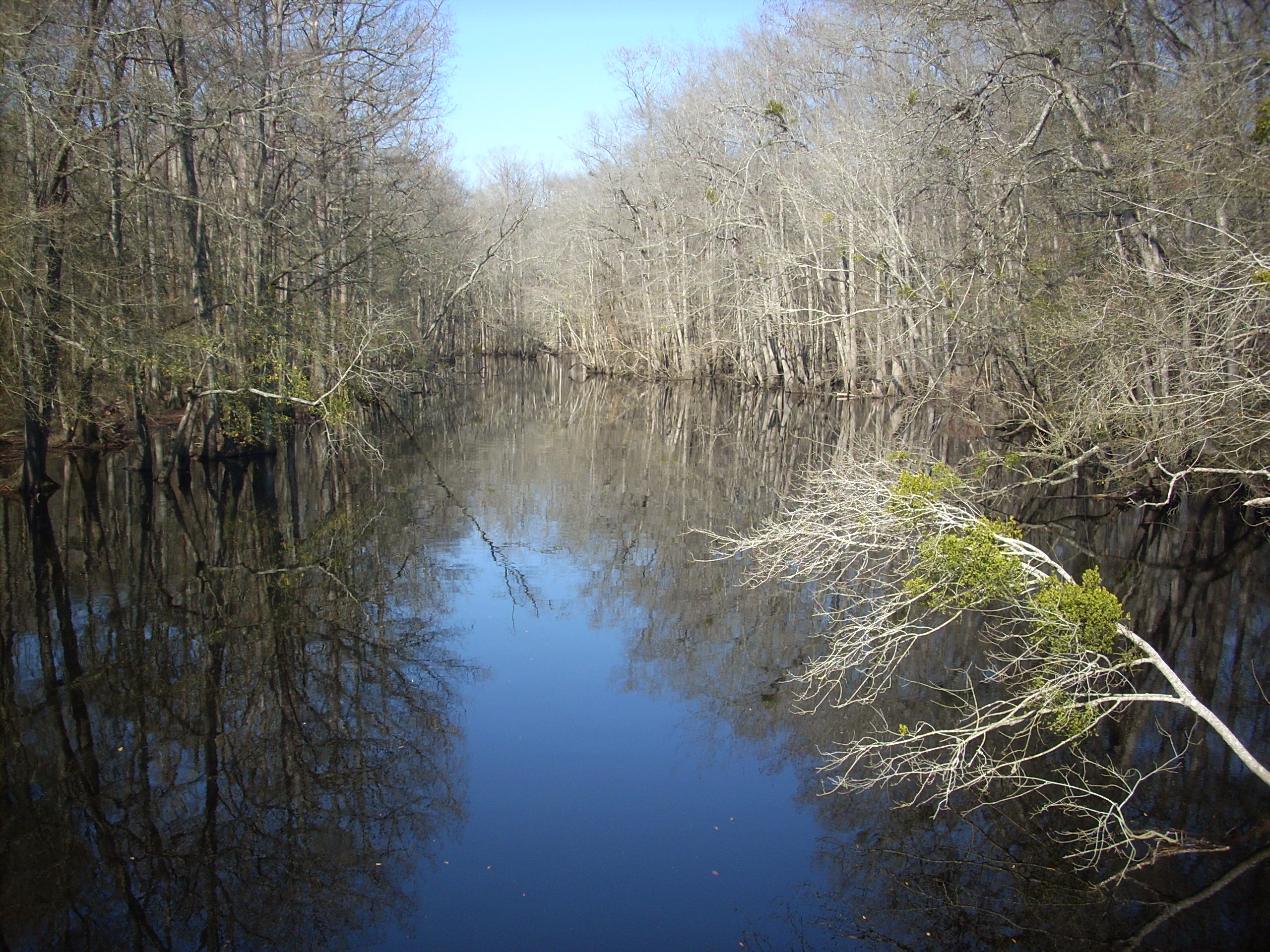
South River

Washington, D.C., during October, 2018

Wood Duck Box

Beaver Dam Creek

20150517-DSC_6690
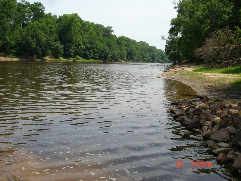
Cape Fear River Low Water Level South Lock 3
Topographic Map of Turnbull Road, Turnbull Rd, Cape Fear, NC, USA
Find elevation by address:

Places near Turnbull Road, Turnbull Rd, Cape Fear, NC, USA:
9655 Turnbull Rd
Beaver Dam
Fayetteville, NC, USA
3091 Bogie Island Rd
2945 Stedman Cedar Creek Rd
Cumberland County
Cedar Creek
Fayetteville, NC, USA
7661 Beaver Dam Rd
14439 Nc-53
White Oak
Cape Fear
W Williams St, Autryville, NC, USA
101 E Williams St
Stedman
North Carolina 242
1750 Nixon Rd
824 Blawell St
Nc Hwy N, Elizabethtown, NC, USA
White Oak, NC, USA
Recent Searches:
- Elevation of Leguwa, Nepal
- Elevation of County Rd, Enterprise, AL, USA
- Elevation of Kolchuginsky District, Vladimir Oblast, Russia
- Elevation of Shustino, Vladimir Oblast, Russia
- Elevation of Lampiasi St, Sarasota, FL, USA
- Elevation of Elwyn Dr, Roanoke Rapids, NC, USA
- Elevation of Congressional Dr, Stevensville, MD, USA
- Elevation of Bellview Rd, McLean, VA, USA
- Elevation of Stage Island Rd, Chatham, MA, USA
- Elevation of Shibuya Scramble Crossing, 21 Udagawacho, Shibuya City, Tokyo -, Japan