Elevation of Beaver Dam, NC, USA
Location: United States > North Carolina > Cumberland County >
Longitude: -78.634199
Latitude: 34.8782893
Elevation: 35m / 115feet
Barometric Pressure: 101KPa
Elevation Map:
Satellite Map:
Related Photos:

Golden-winged Skimmer Male 2

The S-XP

Chris getting more miles

Mark at Cedar Creek

Wood Duck Box

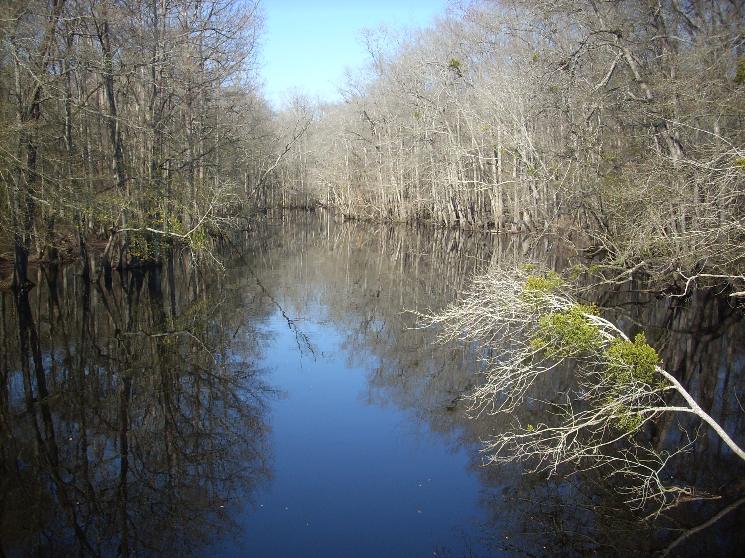
Beaver Dam Creek
South River

Washington, D.C., during October, 2018

20150517-DSC_6690

Camping with my scouts!

Tobacco Barn on NC 210

Elam Baptist Church

Ben Korman's farmhouse

Hurley's Farm Center

Tabor United Methodist Church

Draughon's

Sons & Handmaidens of God of the Apostolic Doctrine of Jesus Christ
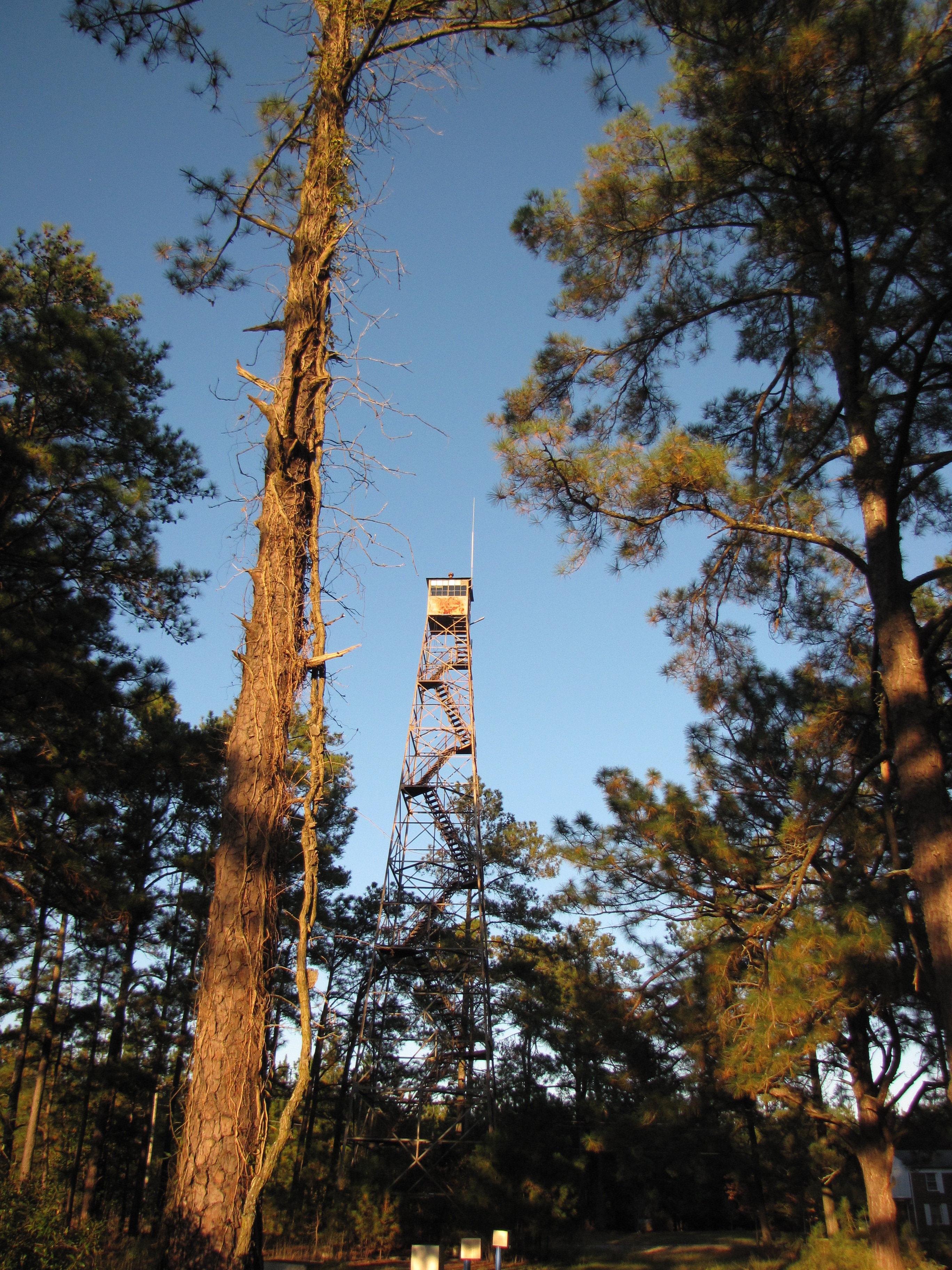
Cedar Creek Fire Tower

Jessup's Mill Pond
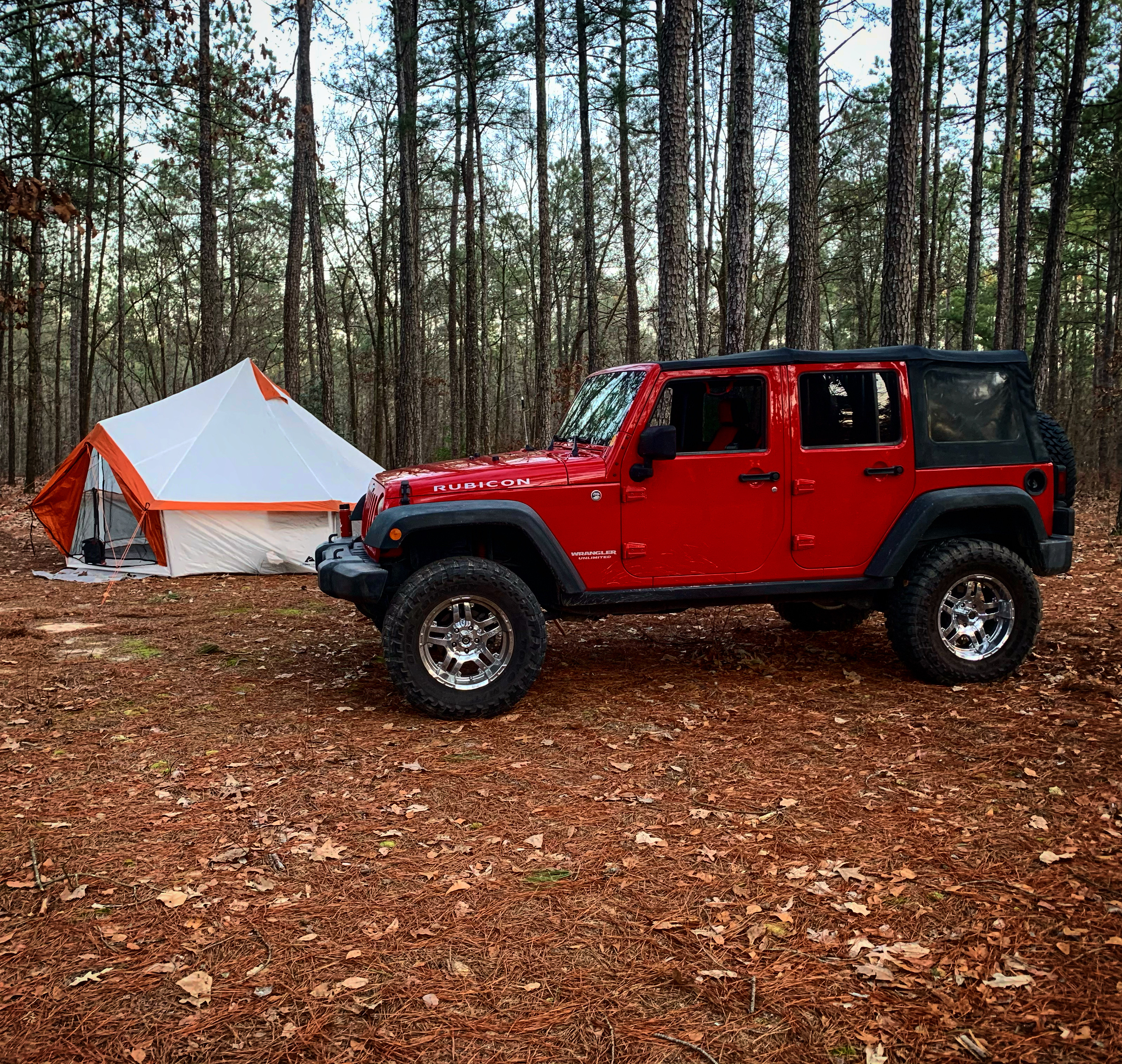
Camping with my scouts at the Cape Fear Scout Reservation

Fort Lauderdale, October 2018

100 Hillsboro St, Stedman, NC 28391, USA DSC_0567

101-105 Hillsboro St, Stedman, NC 28391, USA DSC_0568

116 Wade-Stedman Rd, Stedman, NC 28391, USA DSC_0552
116 Wade-Stedman Rd, Stedman, NC 28391, USA DSC_0553

116 Wade-Stedman Rd, Stedman, NC 28391, USA DSC_0554

116 Wade-Stedman Rd, Stedman, NC 28391, USA DSC_0555

116 Wade-Stedman Rd, Stedman, NC 28391, USA DSC_0557
Topographic Map of Beaver Dam, NC, USA
Find elevation by address:

Places near Beaver Dam, NC, USA:
9655 Turnbull Rd
Turnbull Road
North Carolina 242
Nc Hwy N, Elizabethtown, NC, USA
Fayetteville, NC, USA
7661 Beaver Dam Rd
W Williams St, Autryville, NC, USA
101 E Williams St
White Oak
3091 Bogie Island Rd
14439 Nc-53
2945 Stedman Cedar Creek Rd
Cedar Creek
Cape Fear
Cumberland County
1750 Nixon Rd
Fayetteville, NC, USA
45 Nixon Rd
Dowd Dairy Road
Stedman
Recent Searches:
- Elevation of Leguwa, Nepal
- Elevation of County Rd, Enterprise, AL, USA
- Elevation of Kolchuginsky District, Vladimir Oblast, Russia
- Elevation of Shustino, Vladimir Oblast, Russia
- Elevation of Lampiasi St, Sarasota, FL, USA
- Elevation of Elwyn Dr, Roanoke Rapids, NC, USA
- Elevation of Congressional Dr, Stevensville, MD, USA
- Elevation of Bellview Rd, McLean, VA, USA
- Elevation of Stage Island Rd, Chatham, MA, USA
- Elevation of Shibuya Scramble Crossing, 21 Udagawacho, Shibuya City, Tokyo -, Japan