Elevation of Fayetteville, NC, USA
Location: United States > North Carolina > Cumberland County > Cedar Creek >
Longitude: -78.724946
Latitude: 34.9303695
Elevation: 36m / 118feet
Barometric Pressure: 101KPa
Elevation Map:
Satellite Map:
Related Photos:

Golden-winged Skimmer Male 2
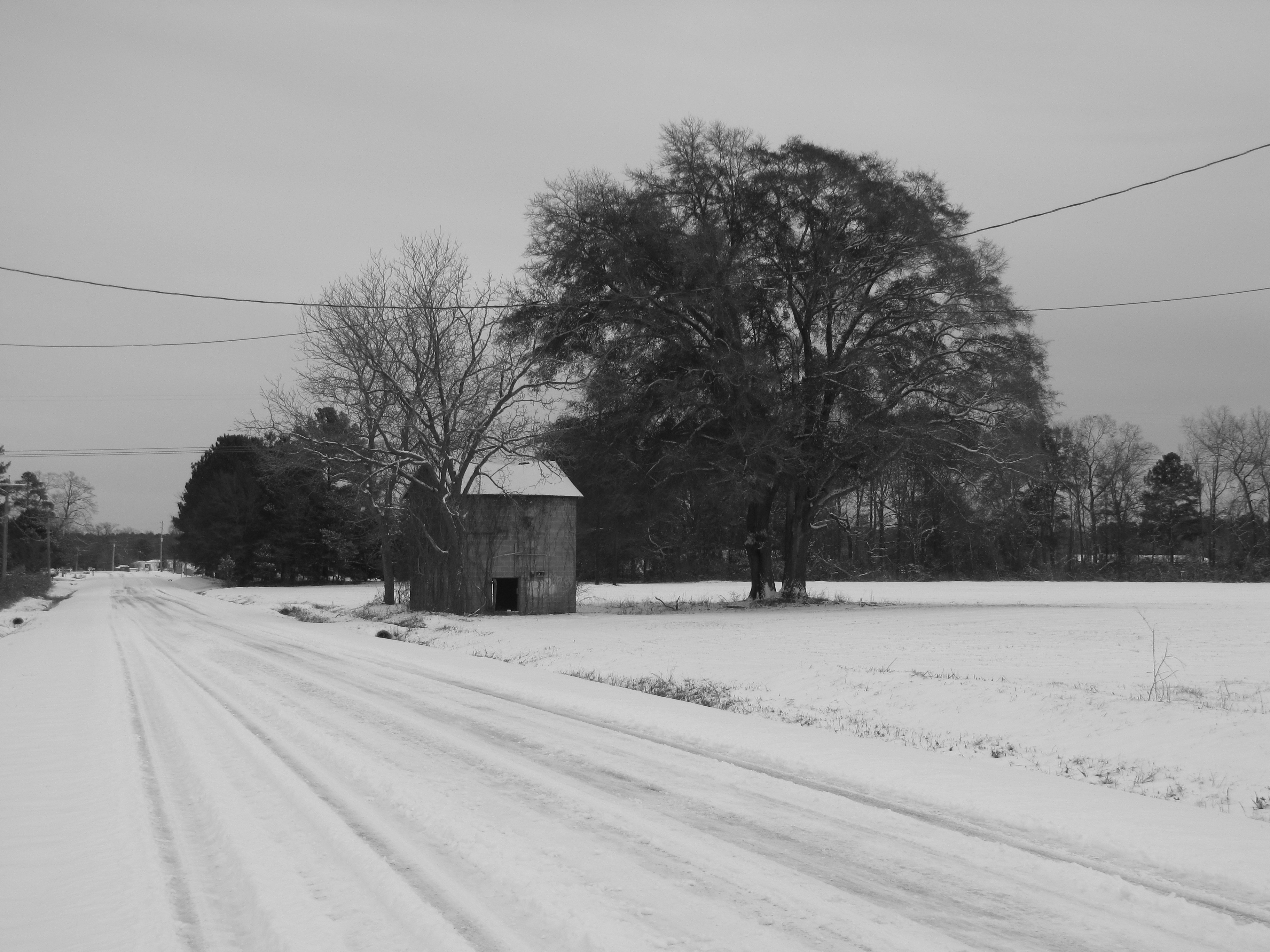
H. Bullard Road
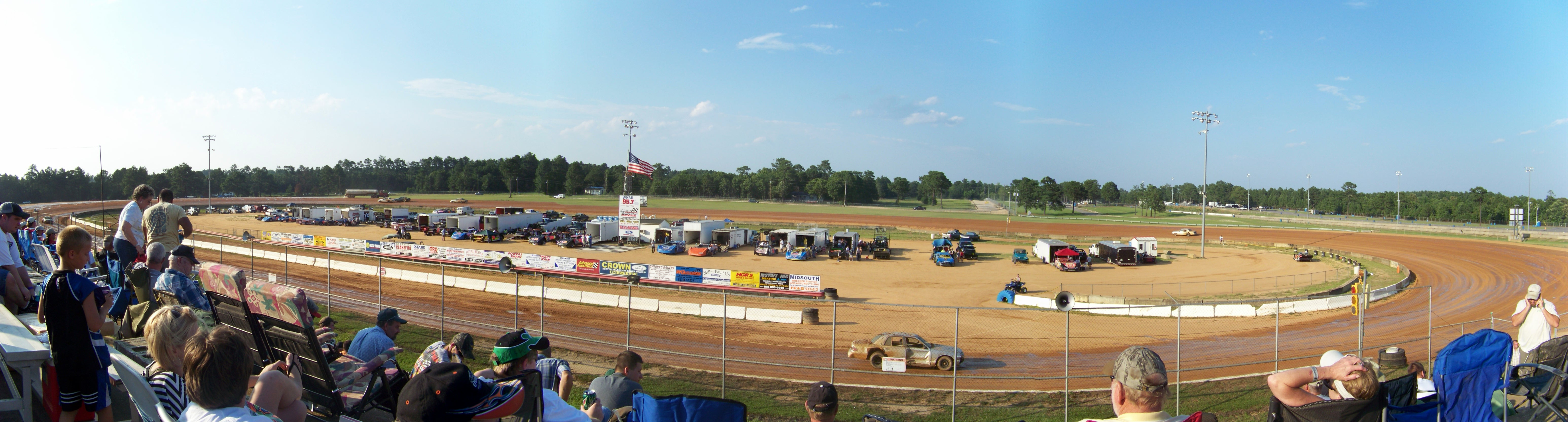
Fayetteville Speedway
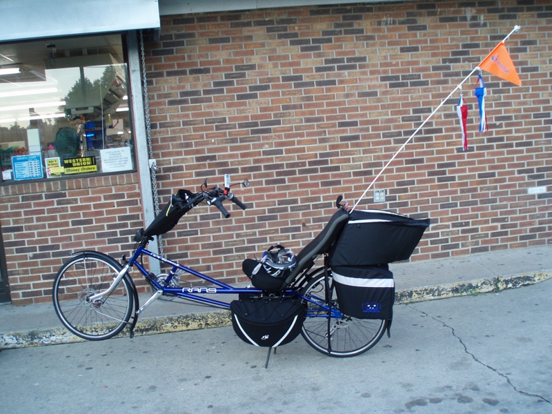
The S-XP

Chris getting more miles
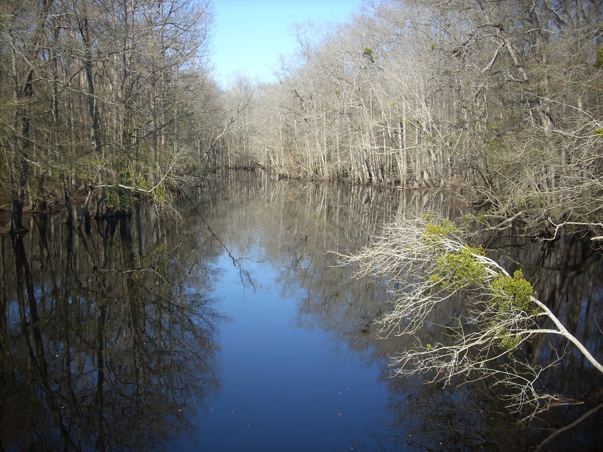
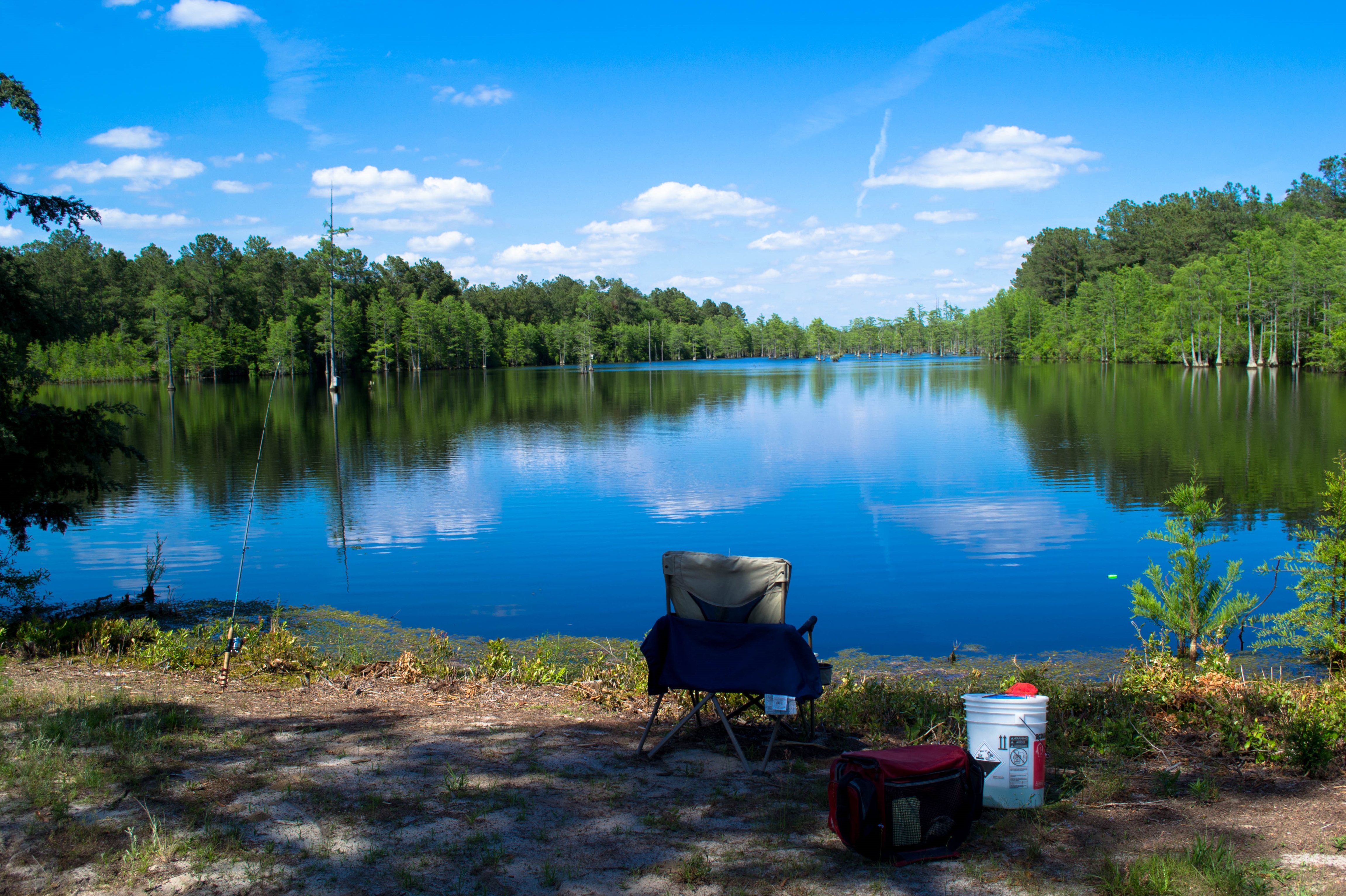
South River
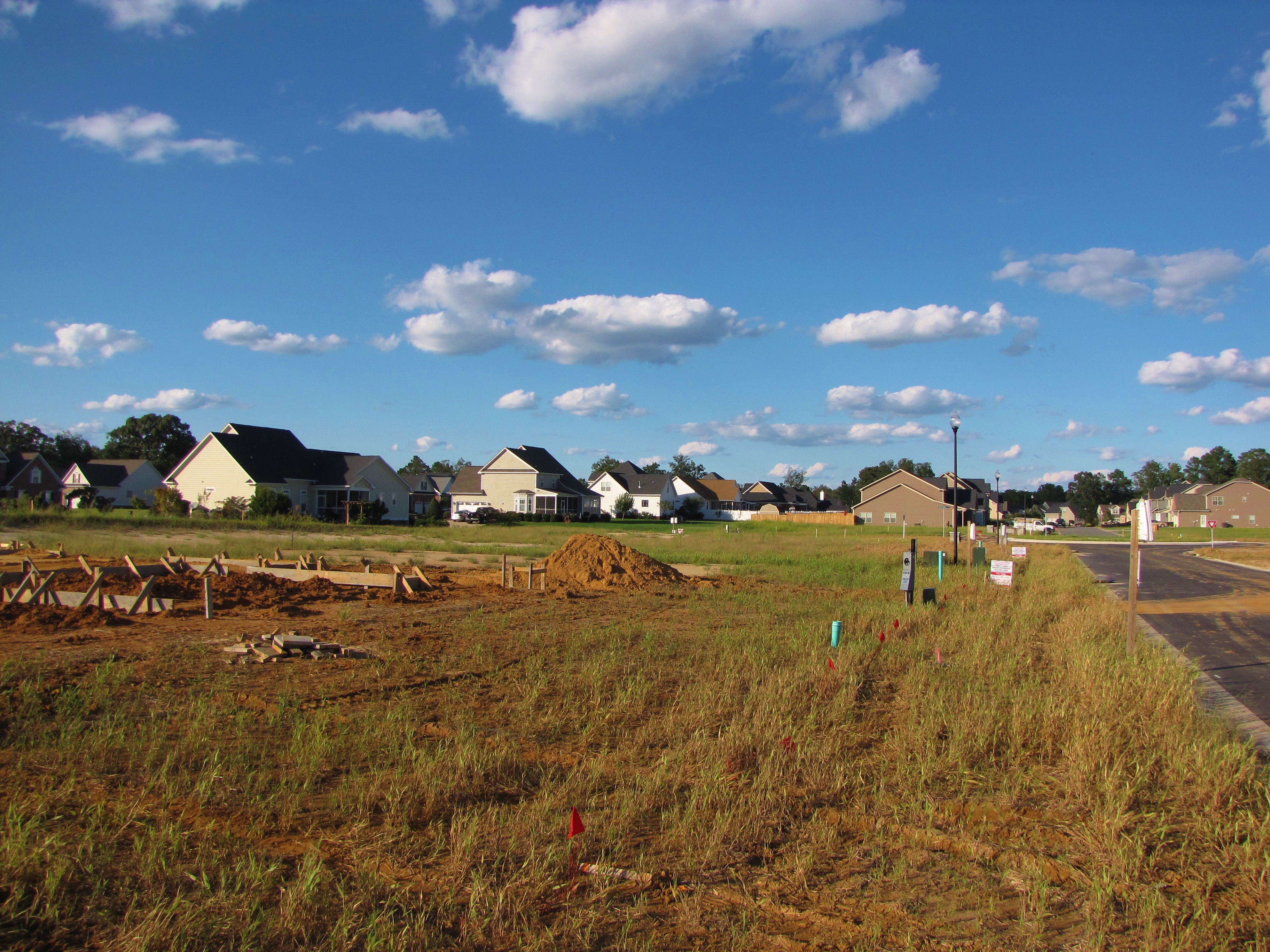
Progress??

Beautiful spots while walking at Arnette Park.

Cape Fear River Low Water Level South Lock 3
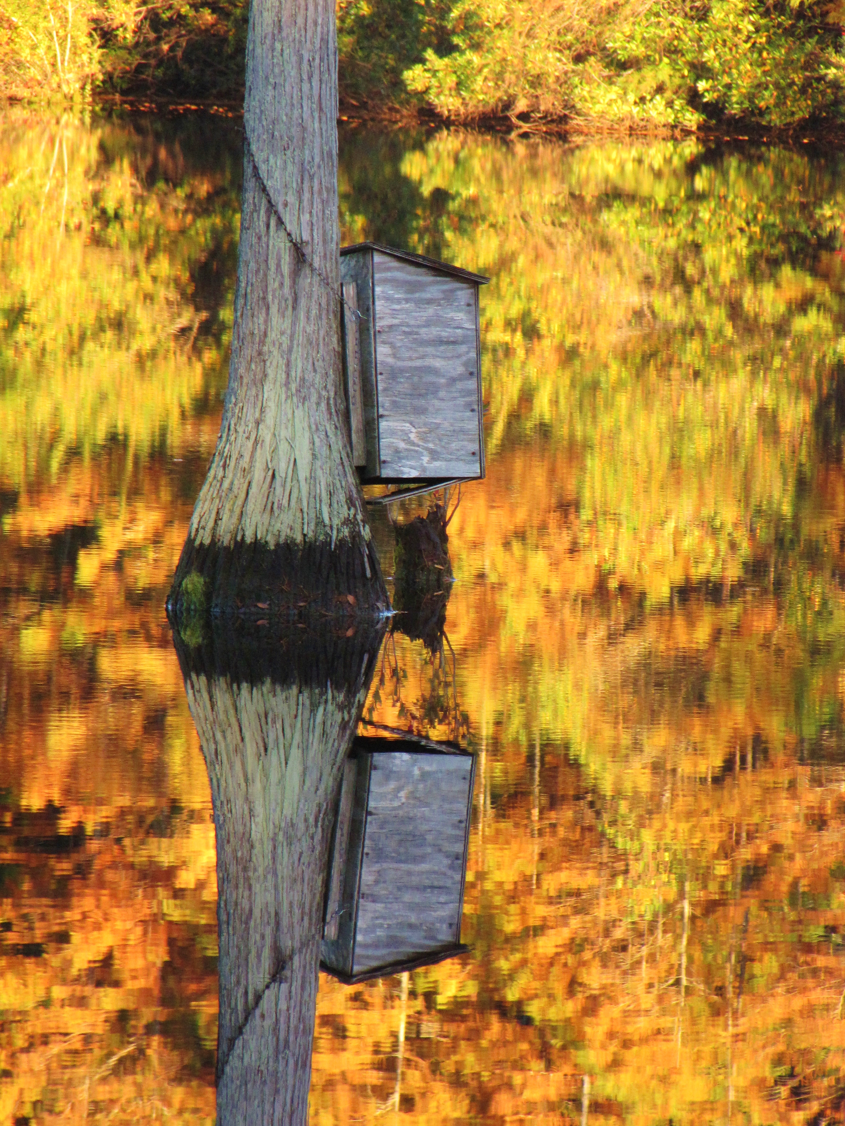
Wood Duck Box
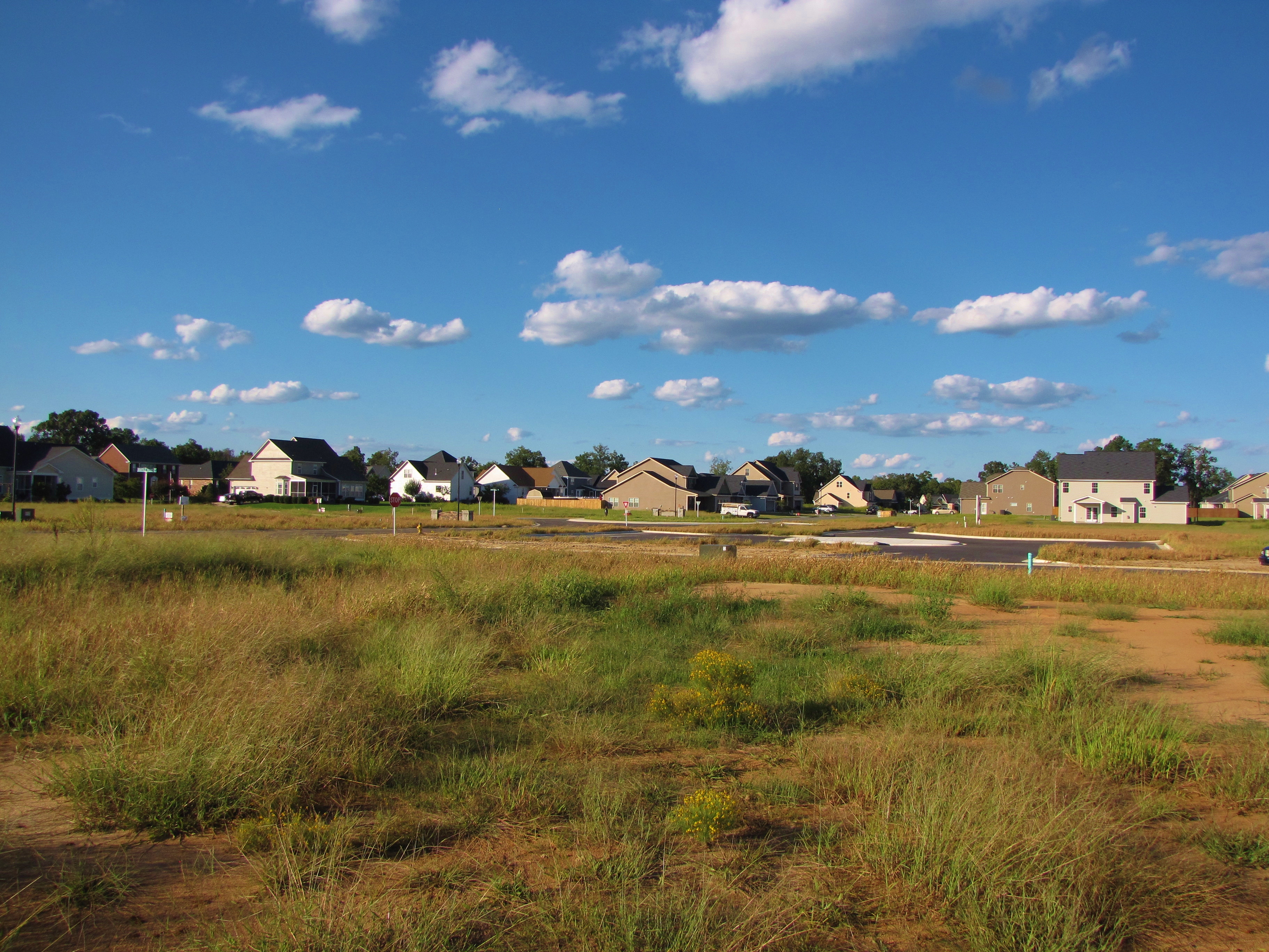
Progress???
20150517-DSC_6690
Topographic Map of Fayetteville, NC, USA
Find elevation by address:

Places near Fayetteville, NC, USA:
3091 Bogie Island Rd
2945 Stedman Cedar Creek Rd
Cumberland County
Fayetteville, NC, USA
Cedar Creek
Turnbull Road
Cape Fear
7661 Beaver Dam Rd
Stedman
824 Blawell St
9655 Turnbull Rd
Beaver Dam
W Williams St, Autryville, NC, USA
101 E Williams St
14439 Nc-53
1750 Nixon Rd
White Oak
Maxwell Rd, Stedman, NC, USA
45 Nixon Rd
Minnie Hall Rd, Autryville, NC, USA
Recent Searches:
- Elevation of Leguwa, Nepal
- Elevation of County Rd, Enterprise, AL, USA
- Elevation of Kolchuginsky District, Vladimir Oblast, Russia
- Elevation of Shustino, Vladimir Oblast, Russia
- Elevation of Lampiasi St, Sarasota, FL, USA
- Elevation of Elwyn Dr, Roanoke Rapids, NC, USA
- Elevation of Congressional Dr, Stevensville, MD, USA
- Elevation of Bellview Rd, McLean, VA, USA
- Elevation of Stage Island Rd, Chatham, MA, USA
- Elevation of Shibuya Scramble Crossing, 21 Udagawacho, Shibuya City, Tokyo -, Japan