Elevation of Troll Hill Rd, Mt Tabor, VT, USA
Location: United States > Vermont > Rutland County > Mount Tabor >
Longitude: -72.991825
Latitude: 43.3200365
Elevation: 215m / 705feet
Barometric Pressure: 99KPa
Elevation Map:
Satellite Map:
Related Photos:
Warm and cozy Lindal Cedar Home in northern Vermont

Pink Sunrise

Pawlet Sunrise

Ice Droplets

Pawlet Sunrise

Sunset Glow

A Little bit of color

Through the Branches

After The Storm

Sunrise Over the mountain

Starry night
Barn at Sunrise

Misty Sunrise

10/22/12 sunset III

Before sunset

On Fire
Winter Light

Winter Shadows

Strips of colors

Sunset Panorama

Into the sunset

Orange sunset (Explored)
Taconic Mountains
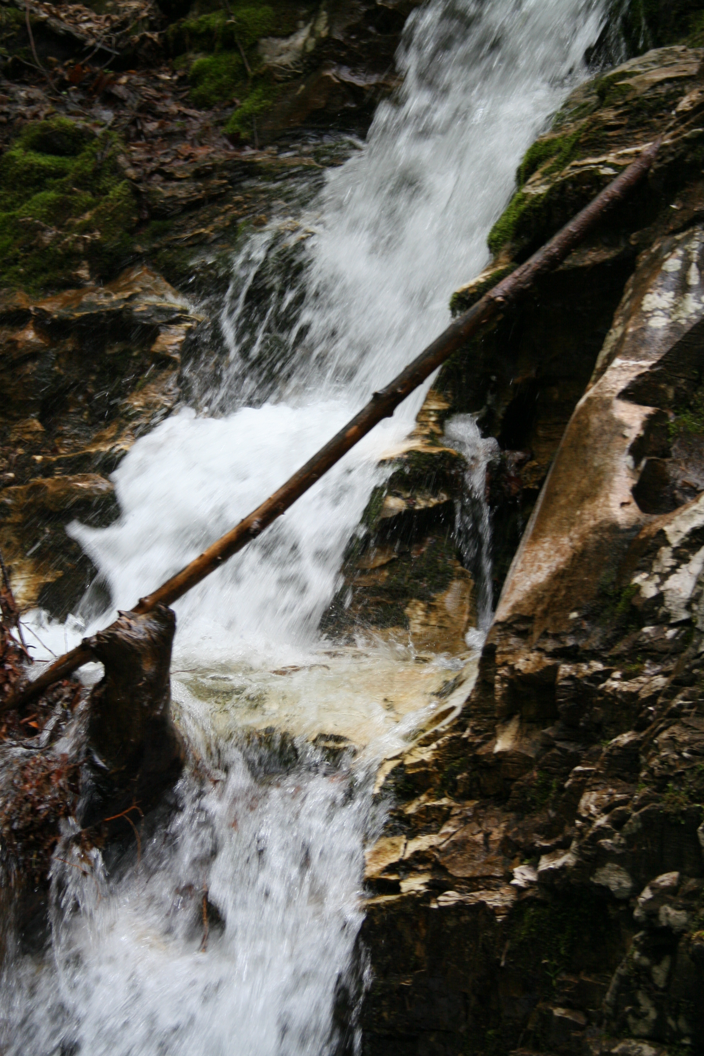
The Waterfall

N Rd - Peru, VT

Along Rt 11 - Bromley, VT

10/21/12 Sunset
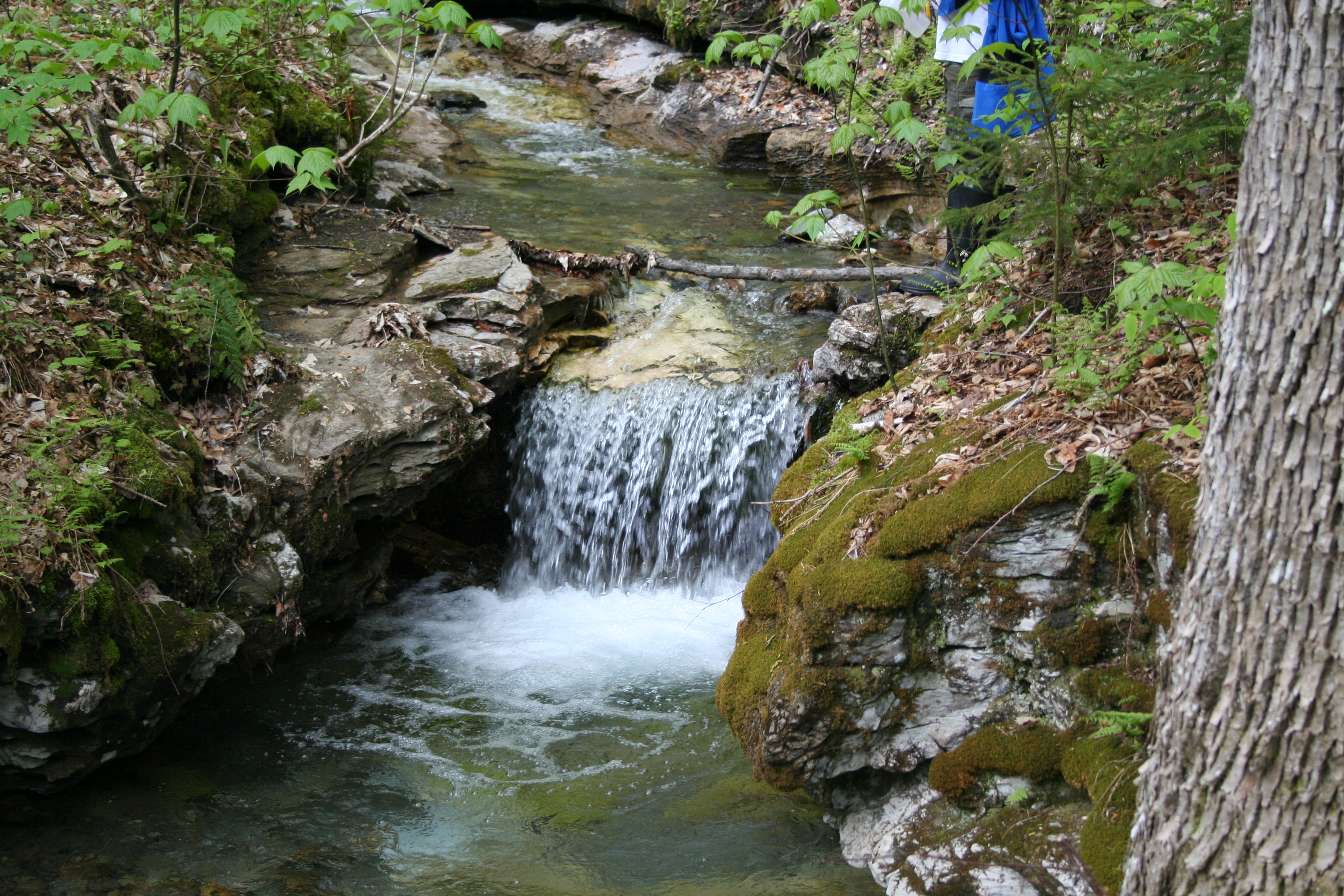
Baby Waterfall
Topographic Map of Troll Hill Rd, Mt Tabor, VT, USA
Find elevation by address:

Places near Troll Hill Rd, Mt Tabor, VT, USA:
252 Troll Hill Rd
Township Highway 35
485 Brook Rd
61 S Main St, Danby, VT, USA
Mount Tabor
Mt Tabor Rd, Mt Tabor, VT, USA
296 Colvin Hill Rd
875 N Main St
1404 Danby Hill Rd
1724 Danby Hill Rd
3378 Dorset Hill Rd
Peru Peak
Danby
Turkey Run Lane
340 Maple Ridge
4201 W Hill Rd
74 W Shore Dr
3582 Danby Mountain Rd
138 Sugar House Ln
138 Sugar House Ln
Recent Searches:
- Elevation of Congressional Dr, Stevensville, MD, USA
- Elevation of Bellview Rd, McLean, VA, USA
- Elevation of Stage Island Rd, Chatham, MA, USA
- Elevation of Shibuya Scramble Crossing, 21 Udagawacho, Shibuya City, Tokyo -, Japan
- Elevation of Jadagoniai, Kaunas District Municipality, Lithuania
- Elevation of Pagonija rock, Kranto 7-oji g. 8"N, Kaunas, Lithuania
- Elevation of Co Rd 87, Jamestown, CO, USA
- Elevation of Tenjo, Cundinamarca, Colombia
- Elevation of Côte-des-Neiges, Montreal, QC H4A 3J6, Canada
- Elevation of Bobcat Dr, Helena, MT, USA