Elevation of Peru Peak, Peru, VT, USA
Location: United States > Vermont > Bennington County > Peru >
Longitude: -72.9378796
Latitude: 43.2945185
Elevation: 1041m / 3415feet
Barometric Pressure: 0KPa
Related Photos:
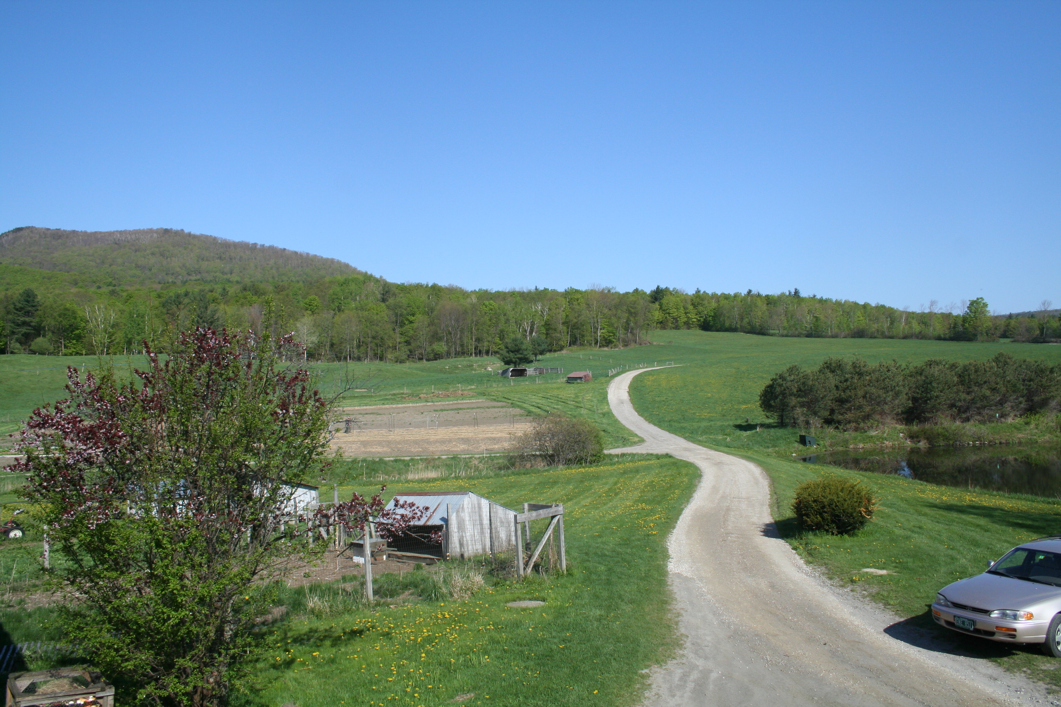
View from our Porch

Waterfall at the old mill
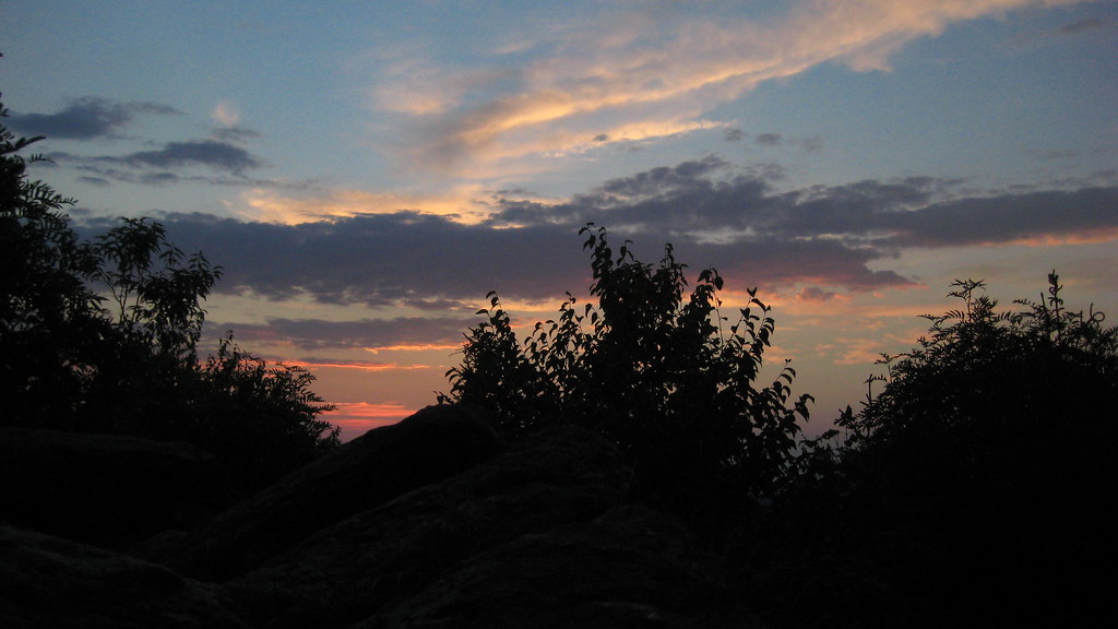
Sunrise on Peru Peak
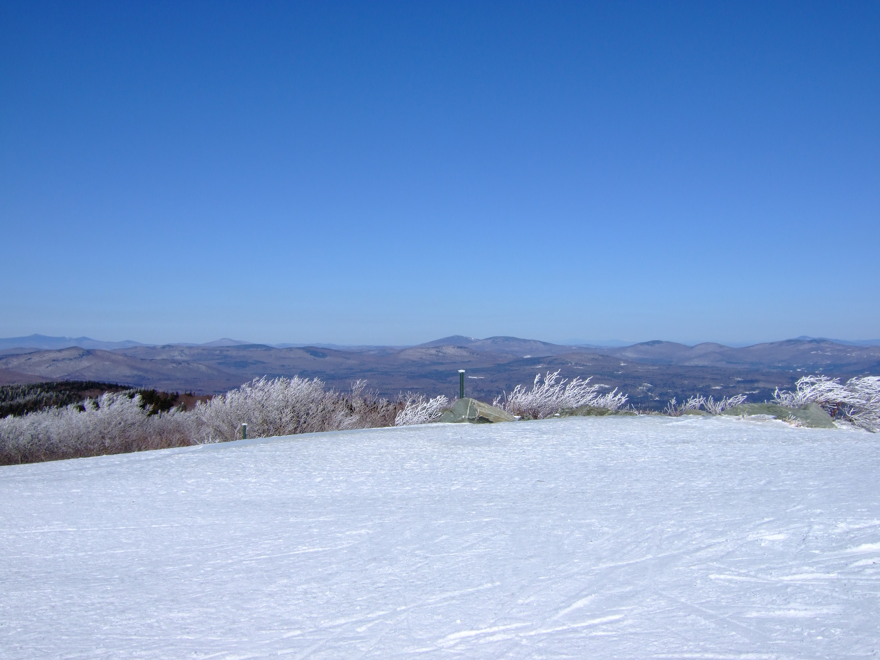
View from Summit of Bromley Mountain, VT
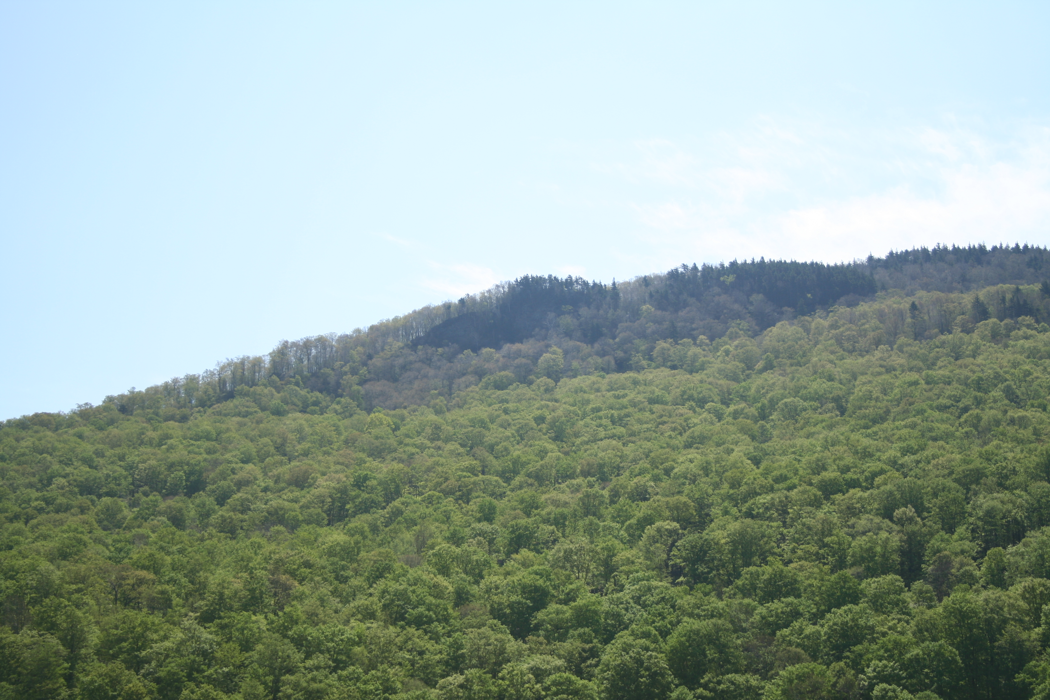
The view
Topographic Map of Peru Peak, Peru, VT, USA
Find elevation by address:

Places near Peru Peak, Peru, VT, USA:
252 Troll Hill Rd
252 Troll Hill Rd
Township Highway 35
Little Michigan Road
Mount Tabor
Mt Tabor Rd, Mt Tabor, VT, USA
61 S Main St, Danby, VT, USA
485 Brook Rd
3378 Dorset Hill Rd
69 Landgrove Rd
Landgrove
123 Nichols Rd
123 Nichols Rd
875 N Main St
18 Tarpley Rd
18 Tarpley Rd
18 Tarpley Rd
296 Colvin Hill Rd
2 Cody Rd
6 Old Co Rd E
Recent Searches:
- Elevation map of Greenland, Greenland
- Elevation of Sullivan Hill, New York, New York, 10002, USA
- Elevation of Morehead Road, Withrow Downs, Charlotte, Mecklenburg County, North Carolina, 28262, USA
- Elevation of 2800, Morehead Road, Withrow Downs, Charlotte, Mecklenburg County, North Carolina, 28262, USA
- Elevation of Yangbi Yi Autonomous County, Yunnan, China
- Elevation of Pingpo, Yangbi Yi Autonomous County, Yunnan, China
- Elevation of Mount Malong, Pingpo, Yangbi Yi Autonomous County, Yunnan, China
- Elevation map of Yongping County, Yunnan, China
- Elevation of North 8th Street, Palatka, Putnam County, Florida, 32177, USA
- Elevation of 107, Big Apple Road, East Palatka, Putnam County, Florida, 32131, USA
- Elevation of Jiezi, Chongzhou City, Sichuan, China
- Elevation of Chongzhou City, Sichuan, China
- Elevation of Huaiyuan, Chongzhou City, Sichuan, China
- Elevation of Qingxia, Chengdu, Sichuan, China
- Elevation of Corso Fratelli Cairoli, 35, Macerata MC, Italy
- Elevation of Tallevast Rd, Sarasota, FL, USA
- Elevation of 4th St E, Sonoma, CA, USA
- Elevation of Black Hollow Rd, Pennsdale, PA, USA
- Elevation of Oakland Ave, Williamsport, PA, USA
- Elevation of Pedrógão Grande, Portugal