Elevation of Brook Rd, Danby, VT, USA

Location: United States > Vermont > Rutland County > Danby >

Longitude: -73.004043

Latitude: 43.3428924

Elevation: 265m / 869feet

Barometric Pressure: 98KPa

Elevation Map:

elevation map of Brook Rd, Danby, VT, USA

Satellite Map:

Satellite map of Brook Rd, Danby, VT, USA

Related Photos:

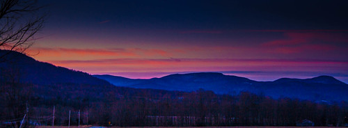
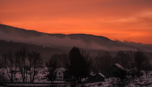
Pink Sunrise
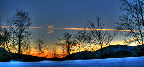
blue winter sky orange cold clouds landscape vermont hill sunrtise mygearandme pawelt
Pawlet Sunrise
abstract ice nature water frozen droplets drops spring melting vermont day first pawlet bluemacro
Ice Droplets
sunset mountain barn canon landscape xt vermont hills vt
Sunset Glow
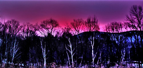
pink blue trees winter clouds sunrise vermont shadows pawlet mygearandme
A Little bit of color
sky mist mountain nature clouds sunrise landscape vermont
Sunrise Over the mountain
auto longexposure light sky tree night stars landscape focus vermont time clear orionsbelt
Starry night
mygearandme
Misty Sunrise
light sunset nature clouds dark landscape vermont before pawlet mygearandme
Before sunset
trees sunset red sky orange sun white nature yellow clouds dark landscape fire woods backyard colorful vermont bright pawlet mygearandme
On Fire
mygearandme
Winter Light
sunset nature barn landscape vermont pawlet
Strips of colors
road morning winter red sky orange house mist snow mountains cold nature clouds barn sunrise canon landscape early colorful warm vermont shadows rebelxt vt 2013 pawlet blinkagain bestevergoldenartists besteverdigitalphotography
Pawlet Sunrise
After The Storm
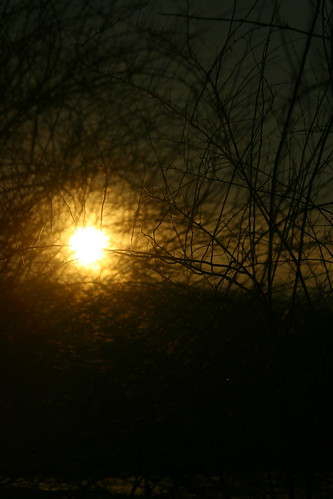
sunset sun nature digital canon dark landscape eos rebel xt branches views comments wineter throughthebranches lamndscape
Through the Branches
wood winter red sky snow building clouds barn digital sunrise canon landscape photography eos rebel vermont hill m moountain 2013 xttrees
Barn at Sunrise
camera blue autumn trees light red sky orange sun black fall nature beautiful field silhouette yellow night digital yard forest canon lens landscape eos rebel xt solar photo amazing woods backyard flickr vermont shadows purple natural map sigma depthoffield hills pointofview layers comments vt thegreenmountainstate pawlet sunsetcolorfulclouds
10/22/12 sunset III
blue trees winter sunset sky sun sunlight mountain snow green nature beautiful sunshine yellow pine backlight digital yard canon landscape photography eos rebel xt flickr pretty vermont december shadows state hills fields backlit sunrays rt comments vt 2012 vally 133 the pawlet
Winter Shadows
Sunset Panorama
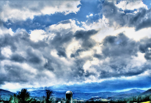
sunset sky mountains nature clouds digital canon landscape eos rebel xt flying geese colorful vermont silo hills vt
Into the sunset
Sunset in Winter
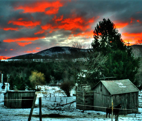
wood blue trees light red sky orange sun field yellow clouds barn digital canon dark landscape photography eos rebel xt solar amazing colorful flickr vermont shadows dof purple pov depthoffield hills manmade tones hue hdr comments vt 133 atsunset tonemapped naturebuilding pawlet
Barn at sunset(Explored)
trees light sunset sky sun mountains cold fall nature rain weather night digital dark landscape eos xt october colorful vermont earth amd hills numbers after canonrebel vt atumn blueblack in a pawlet thegreenmountains cloudsday
10/21/12 Sunset
Sunset(explored)
White Rocks Sunset - HDR
sunset landscape rebel vermont nationalforest wallingford vt greenmountains icebeds gmnf canonxsi whitesrocks waterfallguy
White Rocks Overlook
10/22/12 sunset II
blue trees sunset summer sky orange cloud plant tree nature lines yellow night clouds bug dark season landscape evening solar photo leaf interesting colorful flickr vermont shadows hole bright earth depthoffield heat today puffy canonrebelxt depth hdr mothernature dop vt 2012 naturephotography prospective orangesunset amazingsky colorfulsky page44 explored birhgt pawlet vermontsunset
Orange sunset (Explored)