Elevation of Treasure Mountain, New Mexico, USA
Location: United States > New Mexico > Silver City >
Longitude: -108.37866
Latitude: 32.7995185
Elevation: 2096m / 6877feet
Barometric Pressure: 79KPa
Elevation Map:
Satellite Map:
Related Photos:
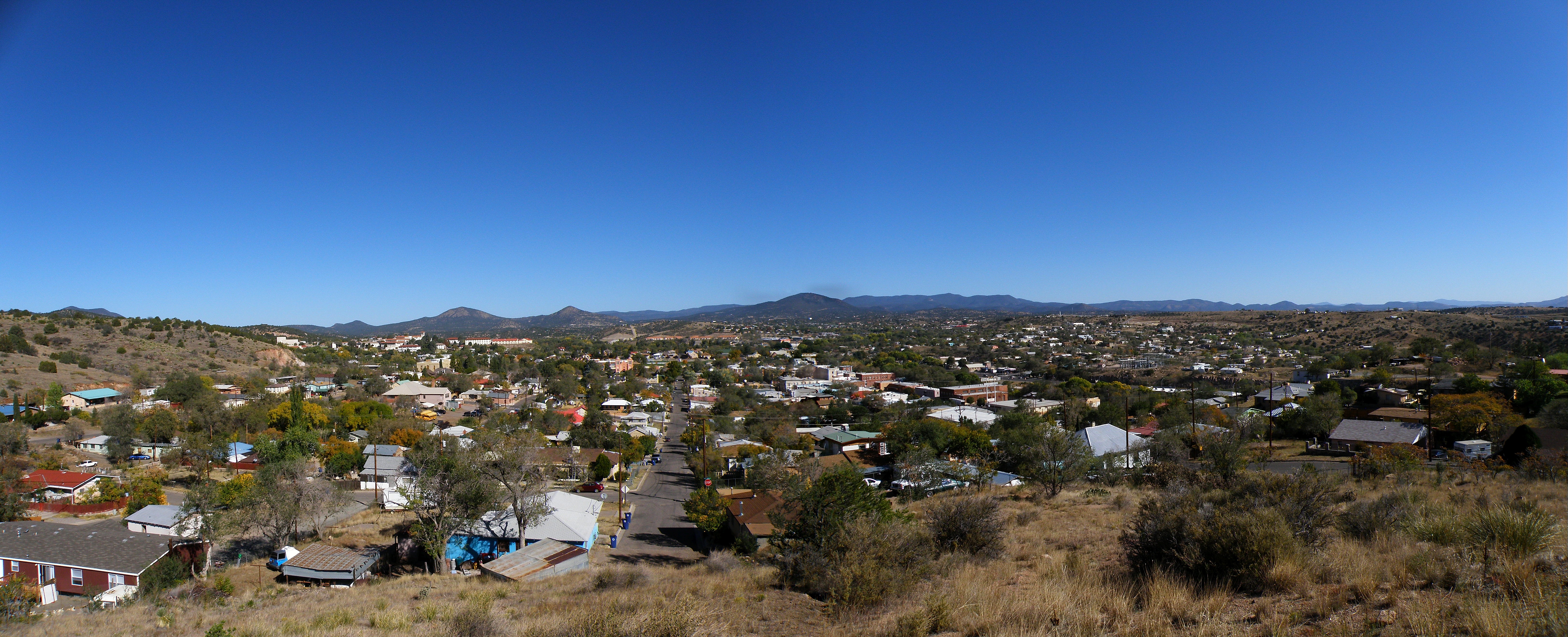
Silver City, NM
sc_boston_hill-002w.jpg
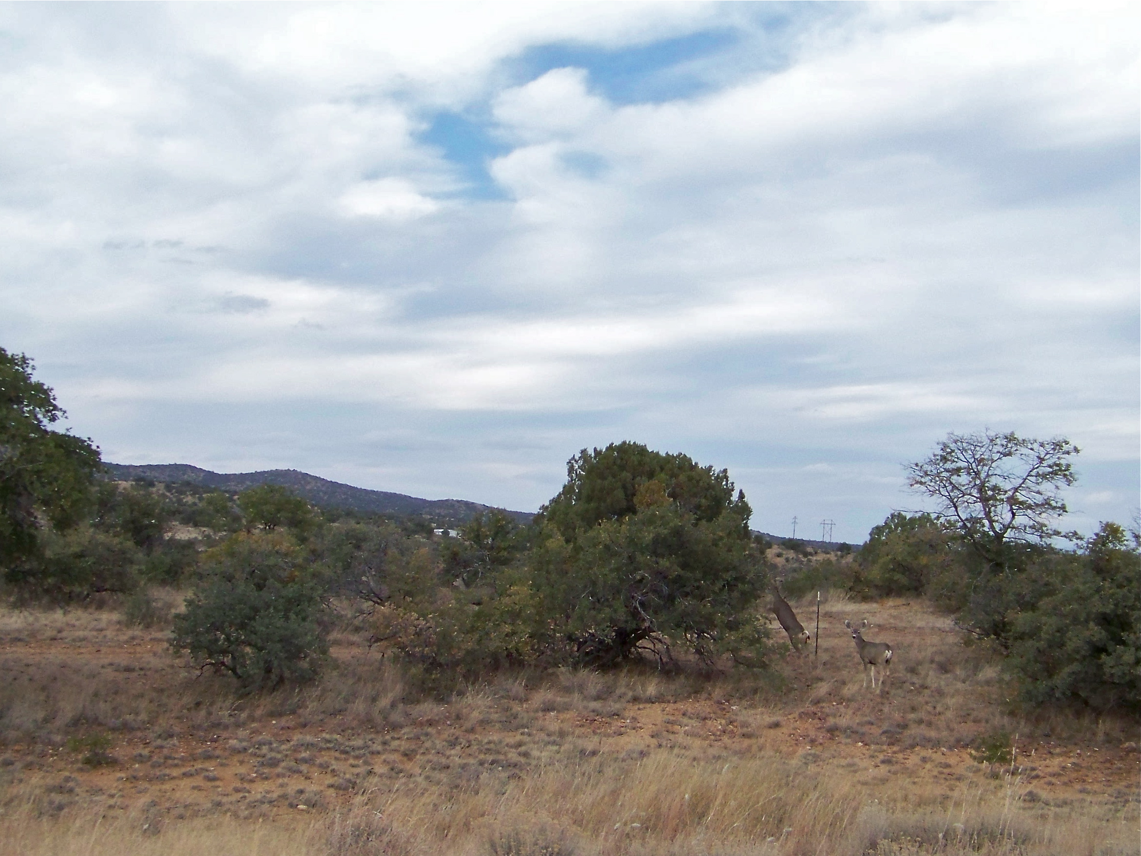
Mule Deer
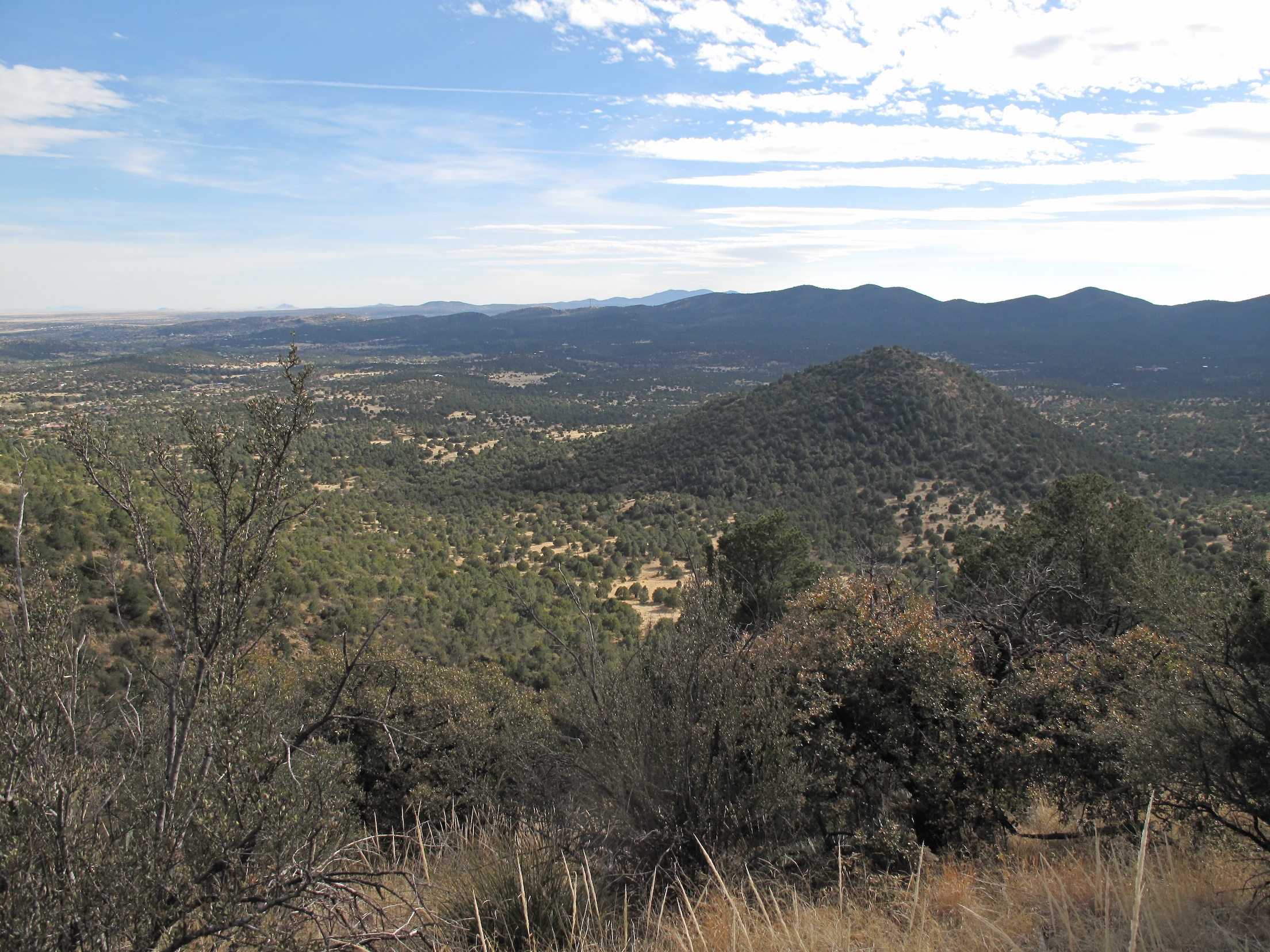
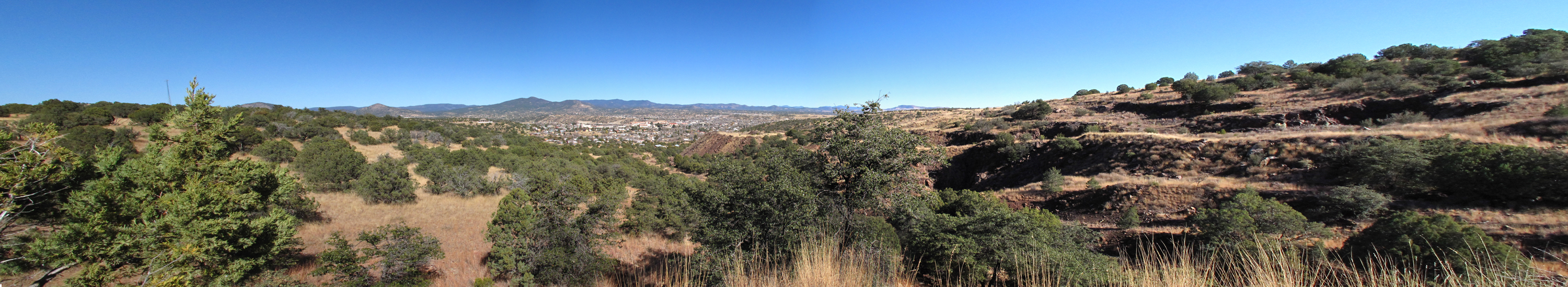
View towards Silver City range
Topographic Map of Treasure Mountain, New Mexico, USA
Find elevation by address:

Places near Treasure Mountain, New Mexico, USA:
4 Amber Dr
53 N Fork Walnut Creek Rd
207 S Combs St
Western New Mexico University
15 Bar 6 Dr
398 Red Rock Rd
Burro Peak
38 S Bear Creek Heights
38 S Bear Creek Heights
38 S Bear Creek Heights
White Signal
Gila
Redrock
Buckhorn
352 Duck Creek Rd
Diablo Range Hp
Shelley Peak
Seventyfour Mountain
Applegate Mountain
Dry Section Mountain
Recent Searches:
- Elevation of Corso Fratelli Cairoli, 35, Macerata MC, Italy
- Elevation of Tallevast Rd, Sarasota, FL, USA
- Elevation of 4th St E, Sonoma, CA, USA
- Elevation of Black Hollow Rd, Pennsdale, PA, USA
- Elevation of Oakland Ave, Williamsport, PA, USA
- Elevation of Pedrógão Grande, Portugal
- Elevation of Klee Dr, Martinsburg, WV, USA
- Elevation of Via Roma, Pieranica CR, Italy
- Elevation of Tavkvetili Mountain, Georgia
- Elevation of Hartfords Bluff Cir, Mt Pleasant, SC, USA