Elevation of Redrock, NM, USA
Location: United States > New Mexico >
Longitude: -108.73811
Latitude: 32.6861879
Elevation: 1228m / 4029feet
Barometric Pressure: 87KPa
Elevation Map:
Satellite Map:
Related Photos:
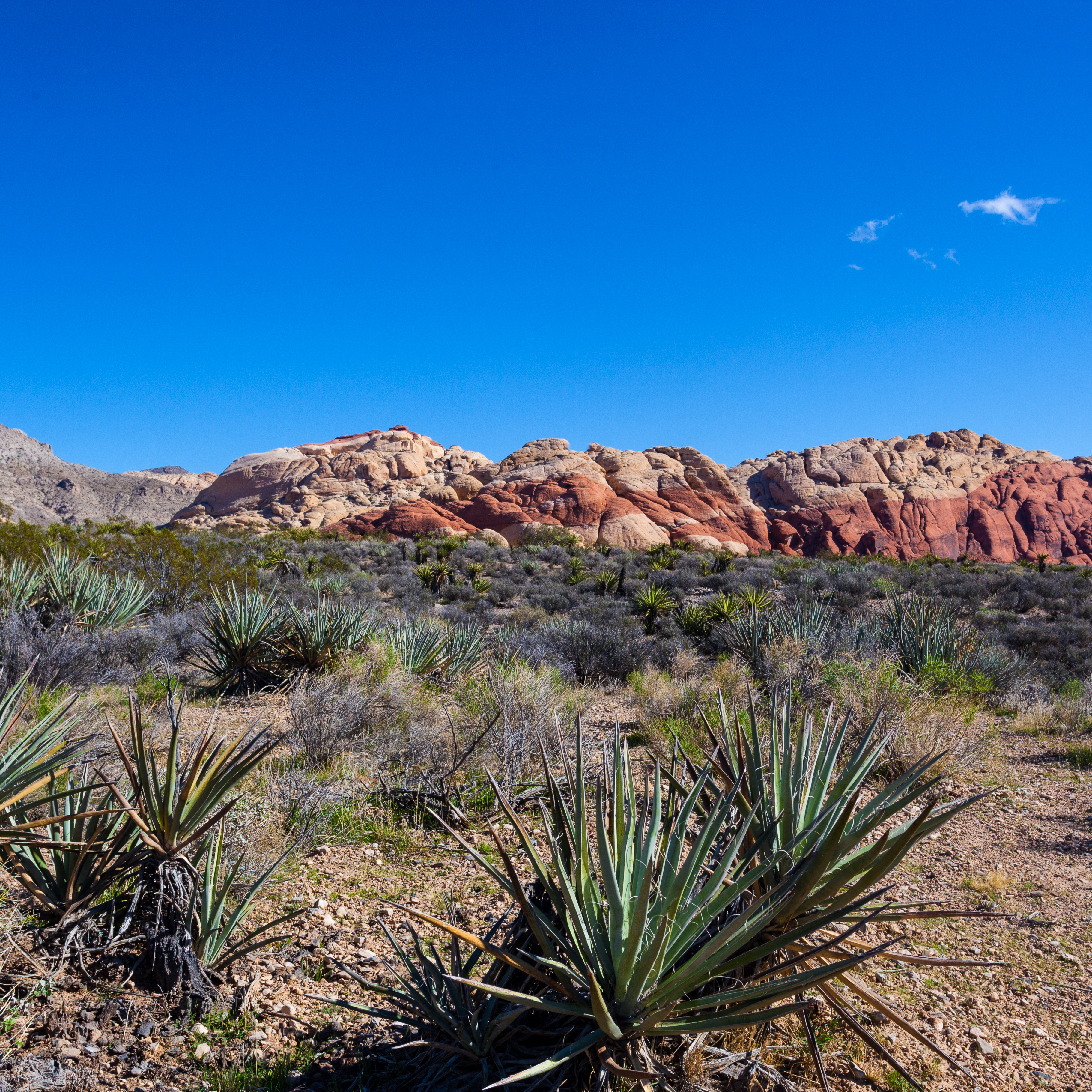
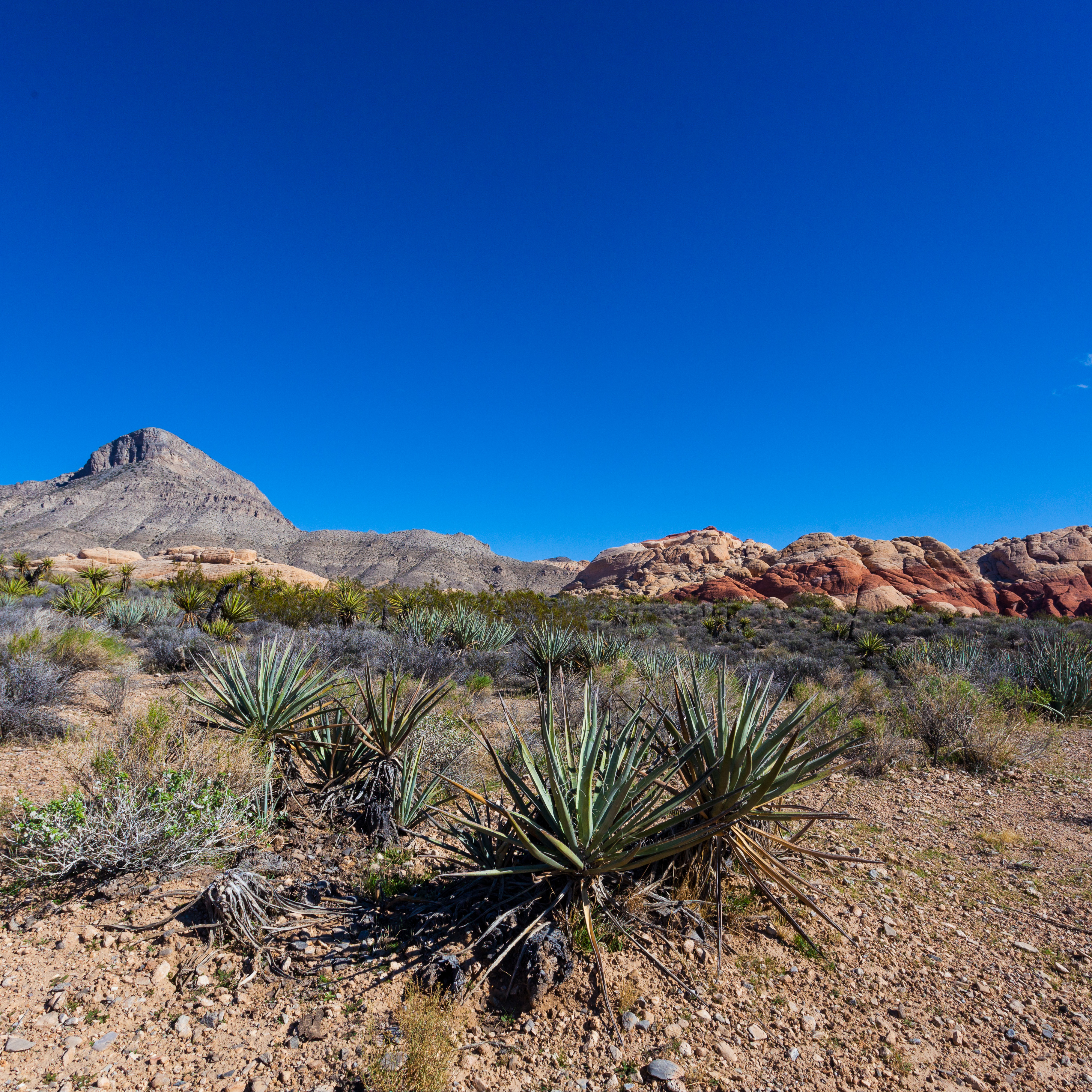
20151109-IMG_0478
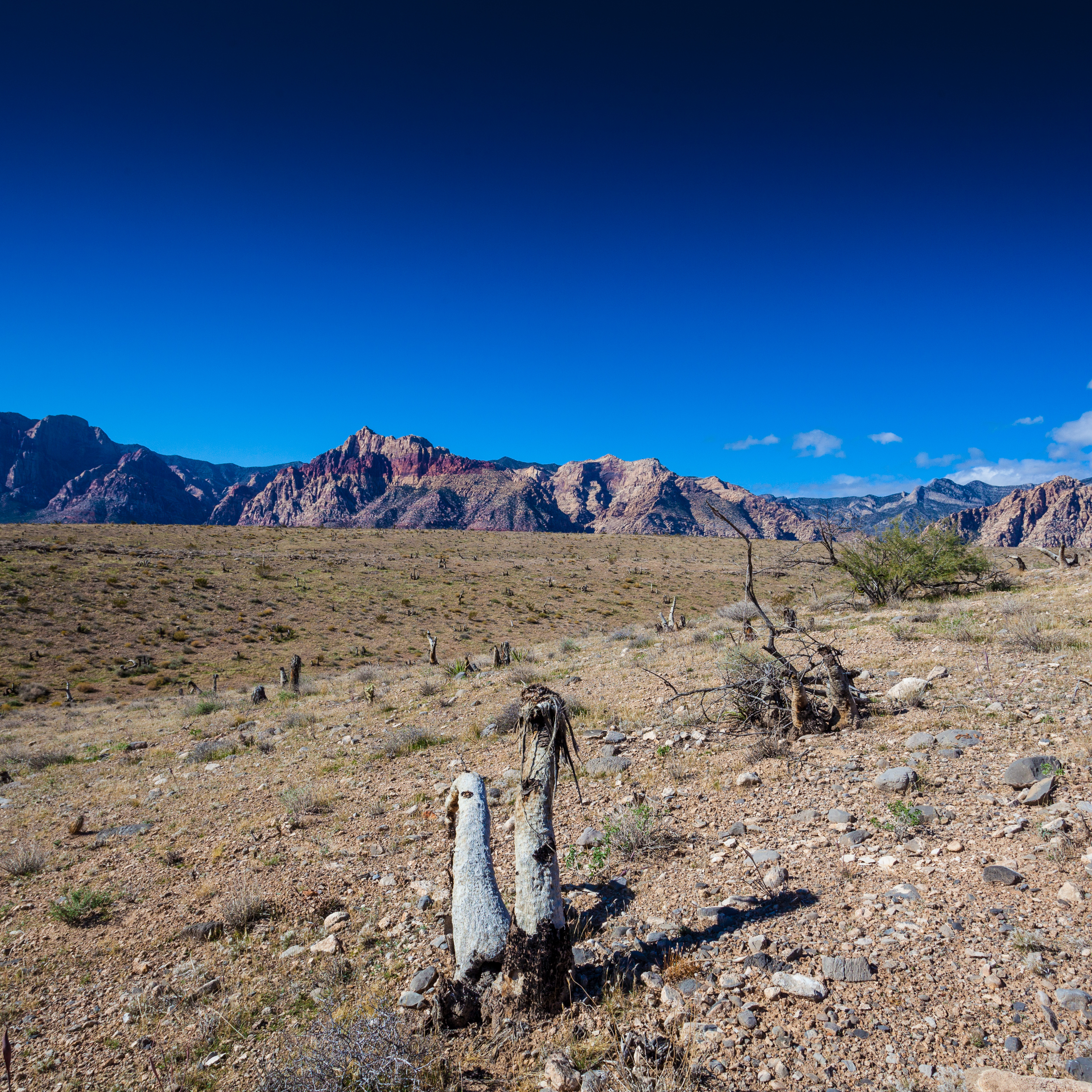
20151109-IMG_0466
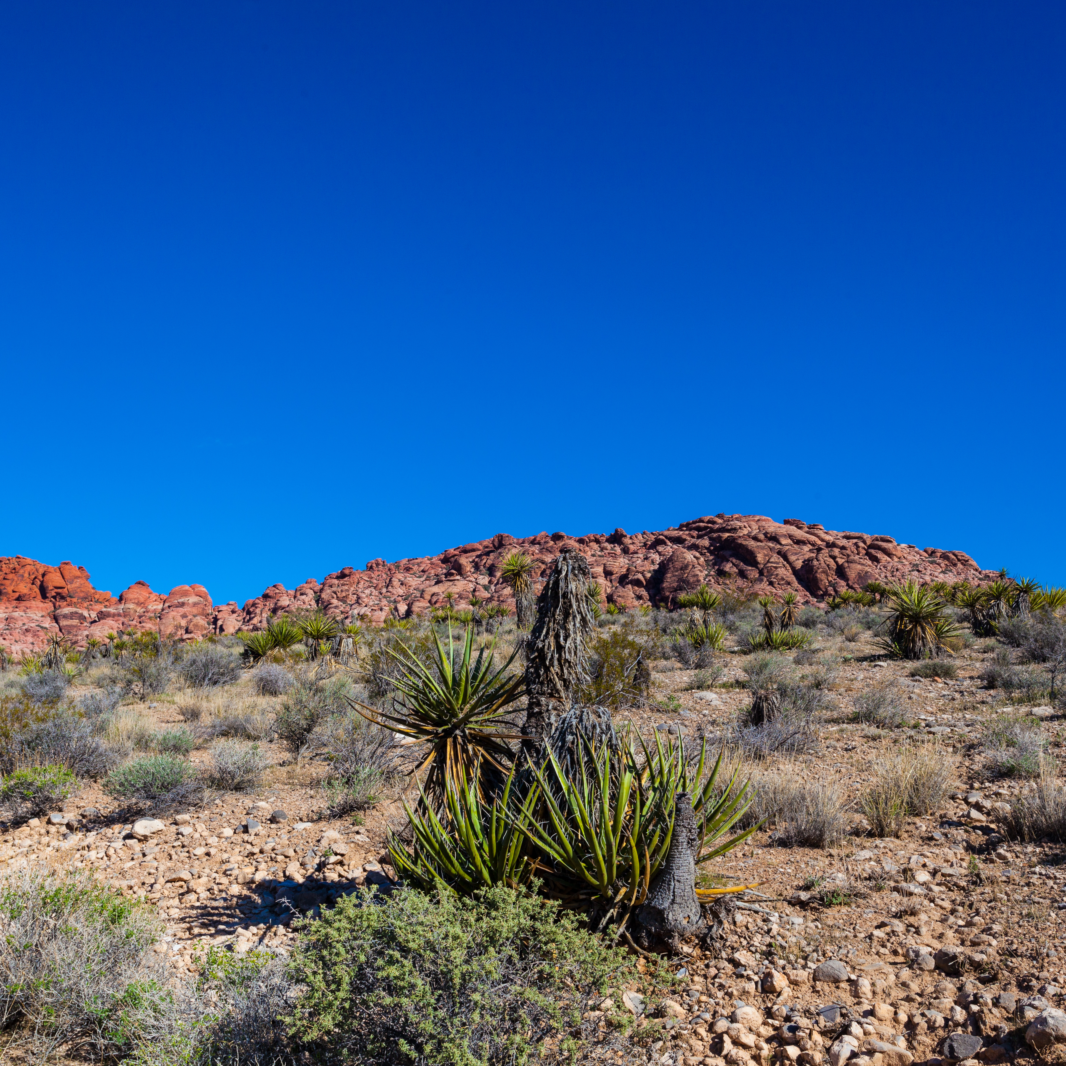
20151109-IMG_0481
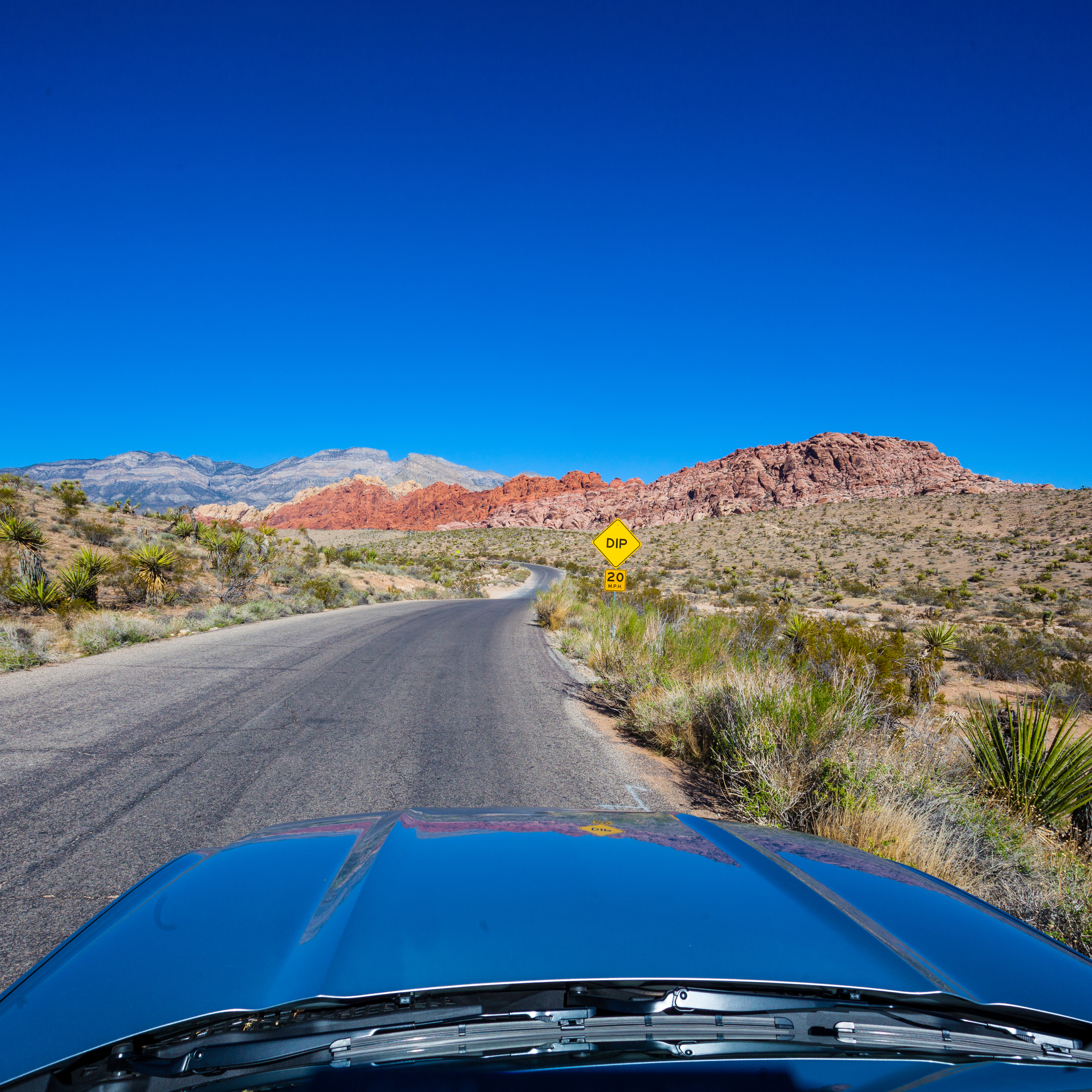
20151109-IMG_0487
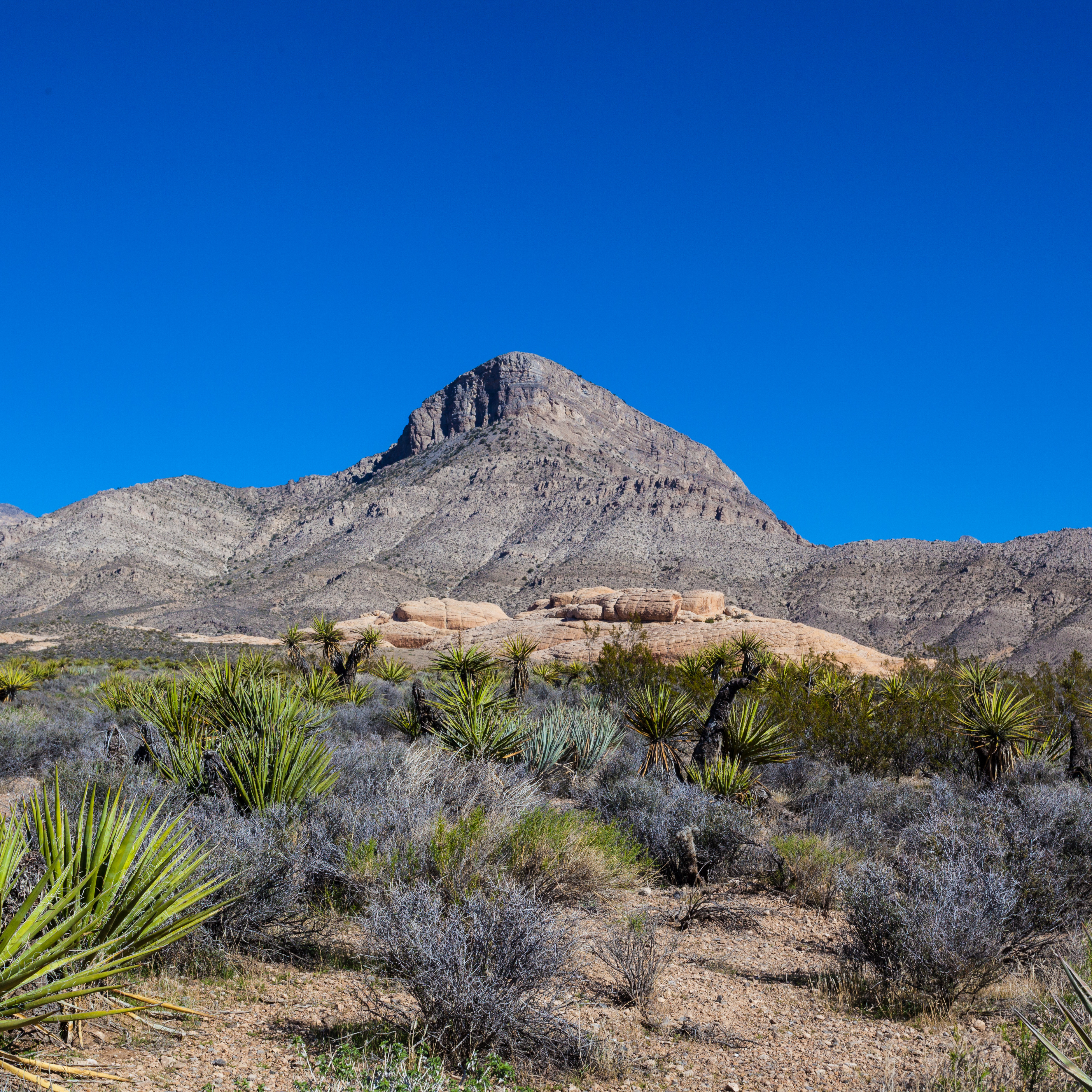
20151109-IMG_0493

Apache Plume (Fallugia paradoxa); near Redrock on Redrock - Tyrone Road, NM
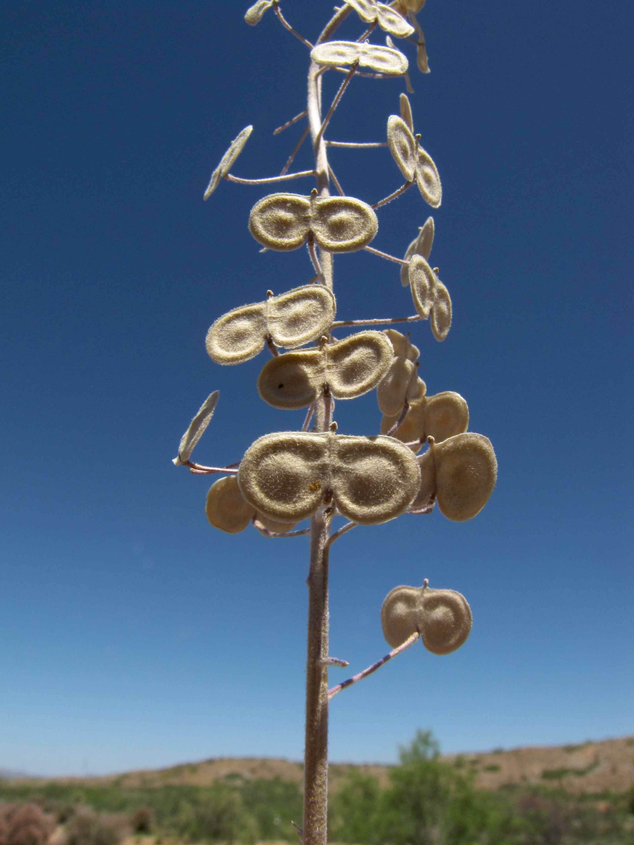
Southwestern Spectacle-pod (Dimorphocarpa wislizenii); near Redrock on Redrock - Tyrone Road, NM
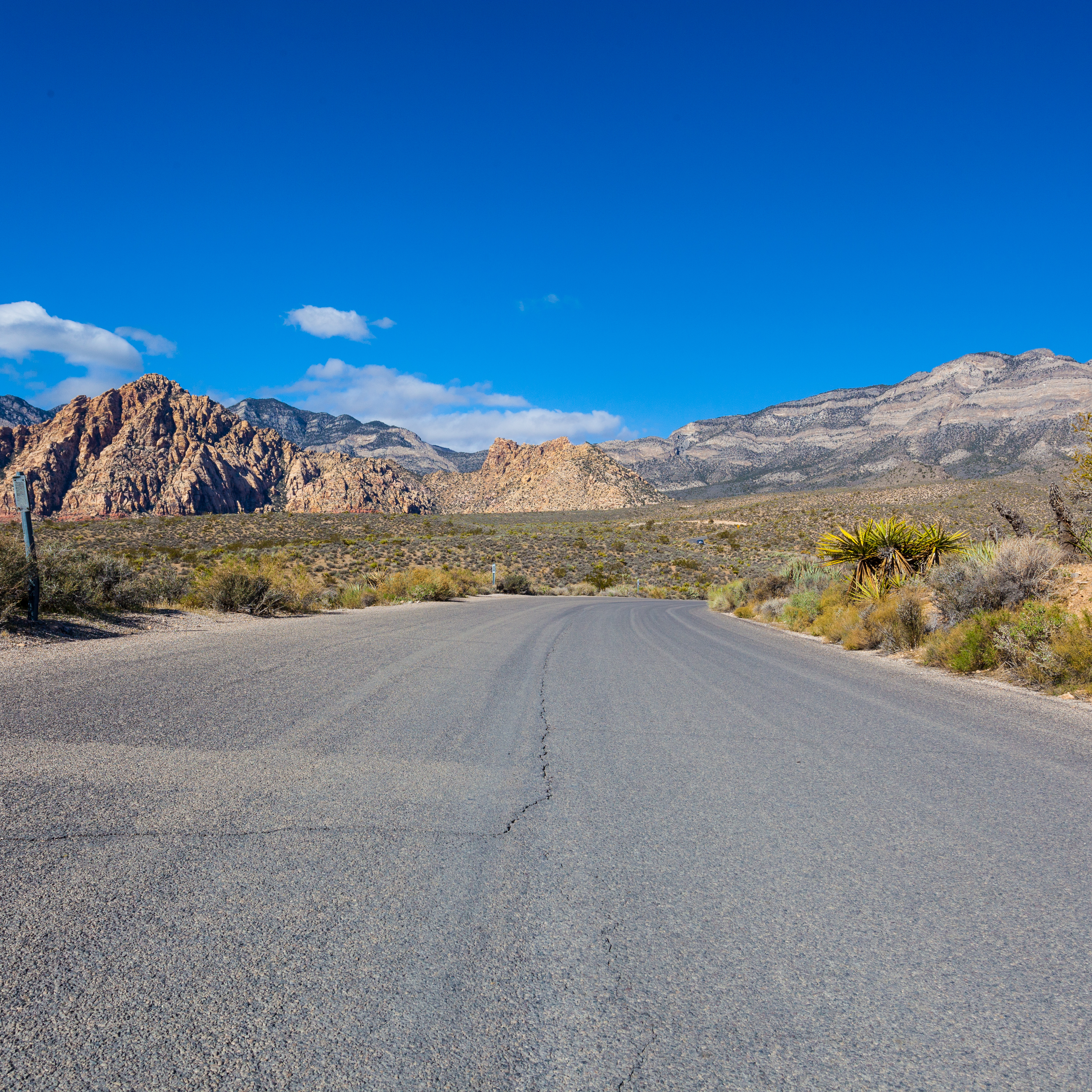
20151109-IMG_0499
20151109-IMG_0490
20151109-IMG_0489
20151109-IMG_0484
20151109-IMG_0471
20151109-IMG_0464
20151109-IMG_0537
20151109-IMG_0507
20151109-IMG_0505

'07 dove season opener
Topographic Map of Redrock, NM, USA
Find elevation by address:

Places in Redrock, NM, USA:
Places near Redrock, NM, USA:
398 Red Rock Rd
Applegate Mountain
Deer Peak
15 Bar 6 Dr
Dry Section Mountain
Vanderbilt Peak
Summit Peak
Crookson Peak
38 S Bear Creek Heights
38 S Bear Creek Heights
38 S Bear Creek Heights
Burro Peak
Gila
Lordsburg
Saddleback Mountain
Buckhorn
352 Duck Creek Rd
Duncan
Brushy Mountain
Treasure Mountain
Recent Searches:
- Elevation of Corso Fratelli Cairoli, 35, Macerata MC, Italy
- Elevation of Tallevast Rd, Sarasota, FL, USA
- Elevation of 4th St E, Sonoma, CA, USA
- Elevation of Black Hollow Rd, Pennsdale, PA, USA
- Elevation of Oakland Ave, Williamsport, PA, USA
- Elevation of Pedrógão Grande, Portugal
- Elevation of Klee Dr, Martinsburg, WV, USA
- Elevation of Via Roma, Pieranica CR, Italy
- Elevation of Tavkvetili Mountain, Georgia
- Elevation of Hartfords Bluff Cir, Mt Pleasant, SC, USA