Elevation of Tower Rd, Unionville, VA, USA
Location: United States > Virginia > Orange County > >
Longitude: -77.918394
Latitude: 38.2505139
Elevation: 147m / 482feet
Barometric Pressure: 100KPa
Elevation Map:
Satellite Map:
Related Photos:
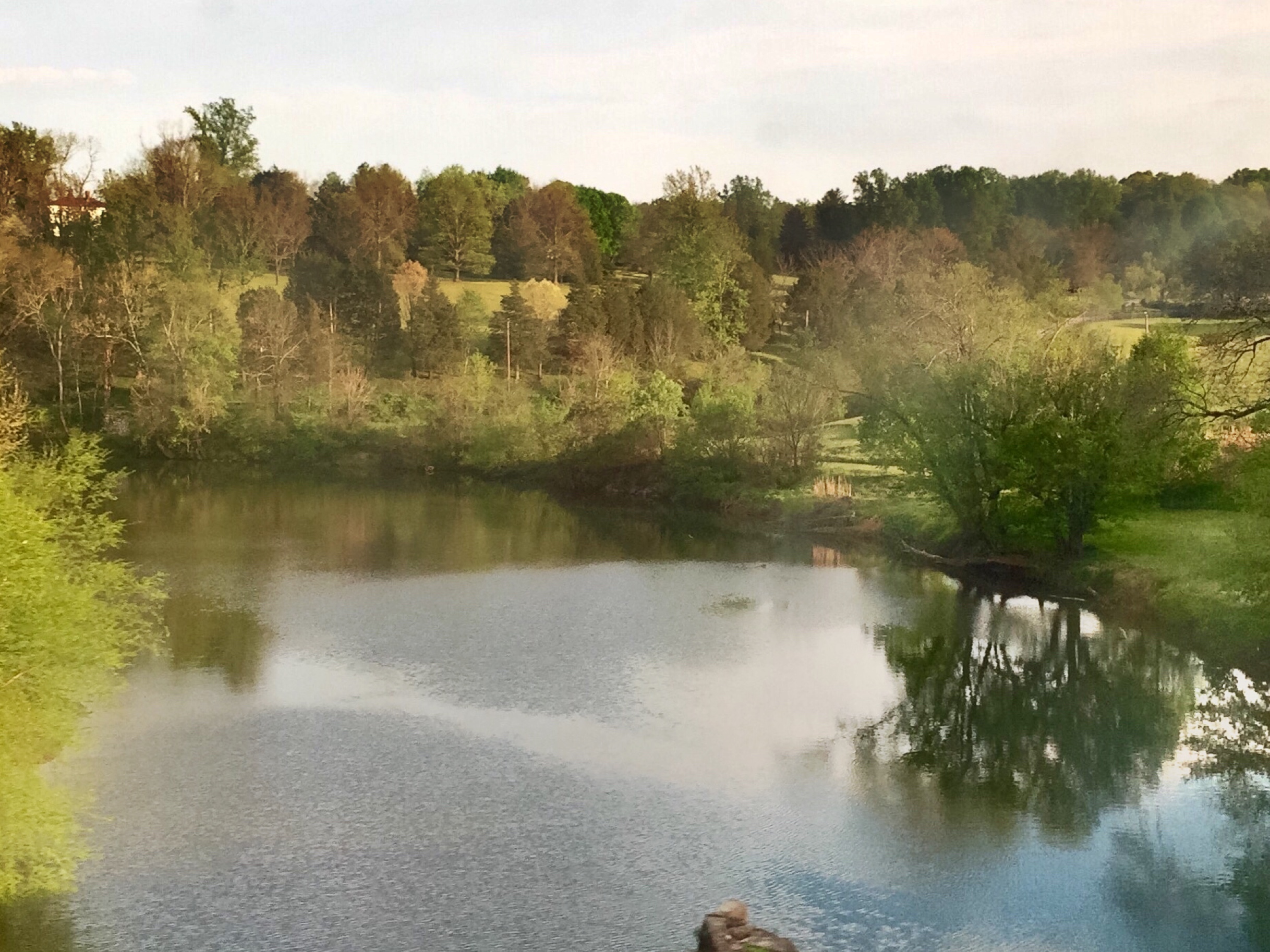
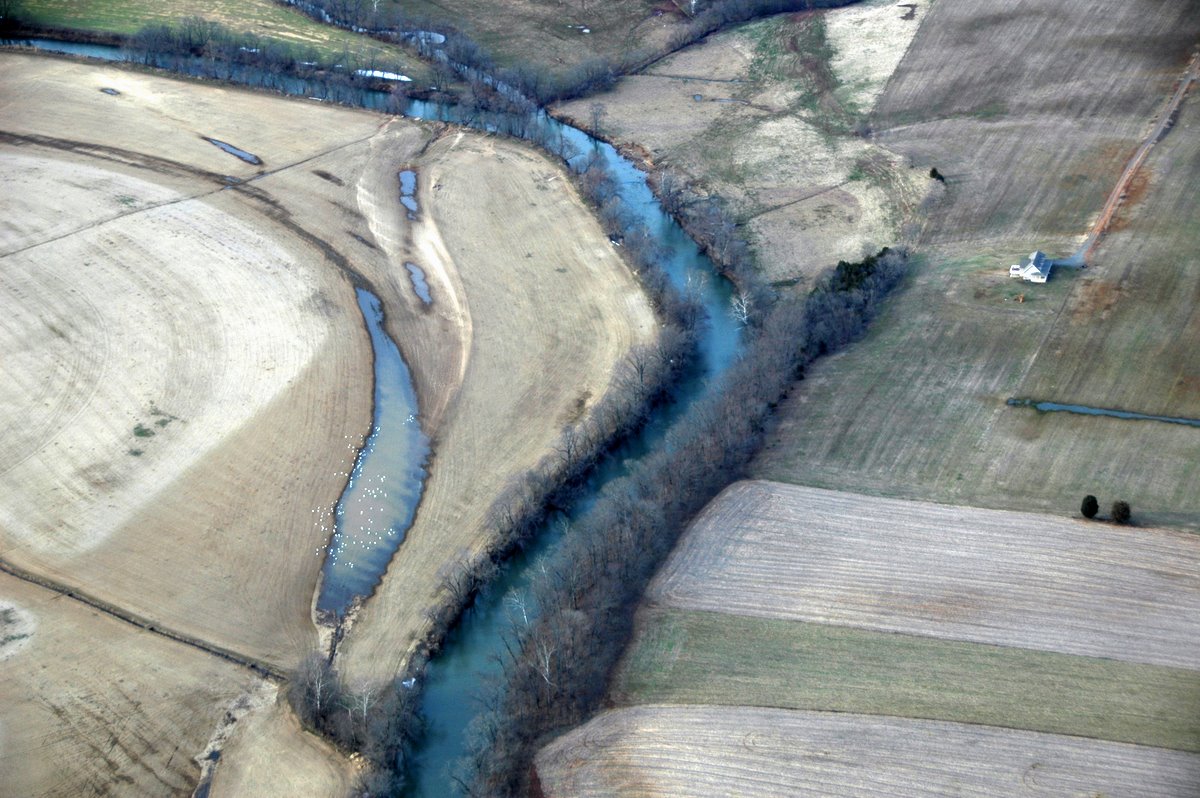
The Rapidan River in Virginia

the bottom of the can
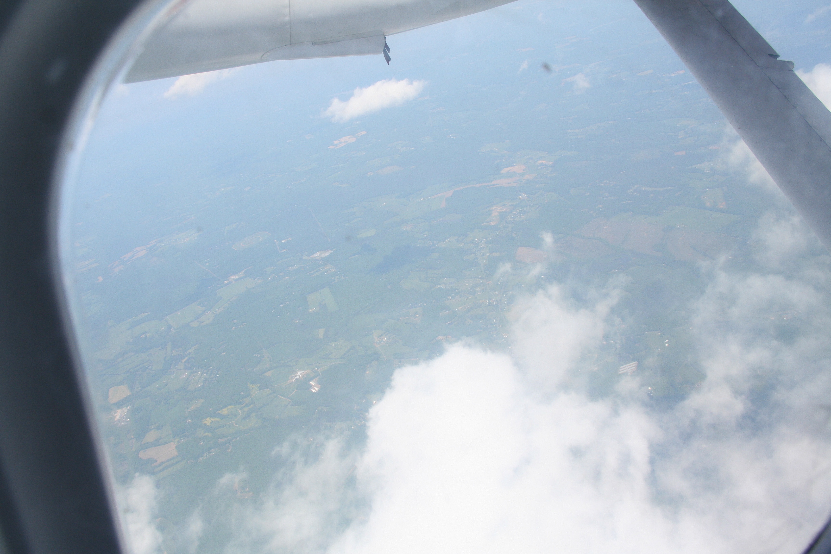
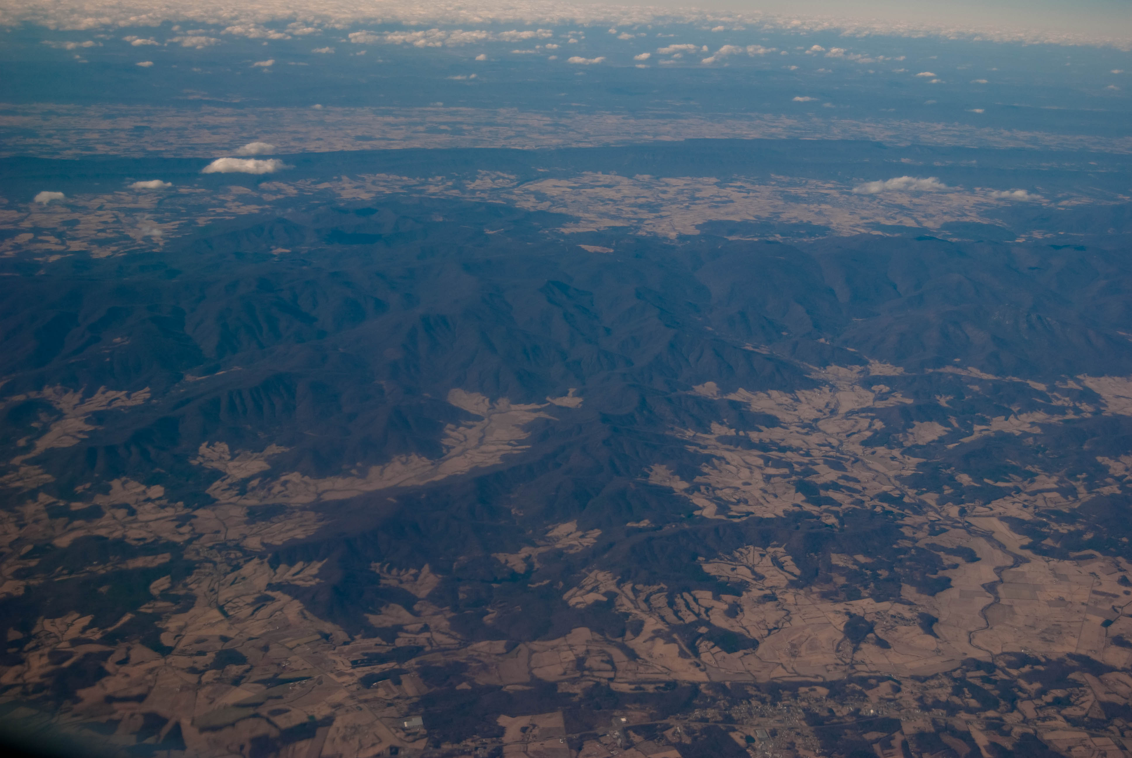
View out the airplane window
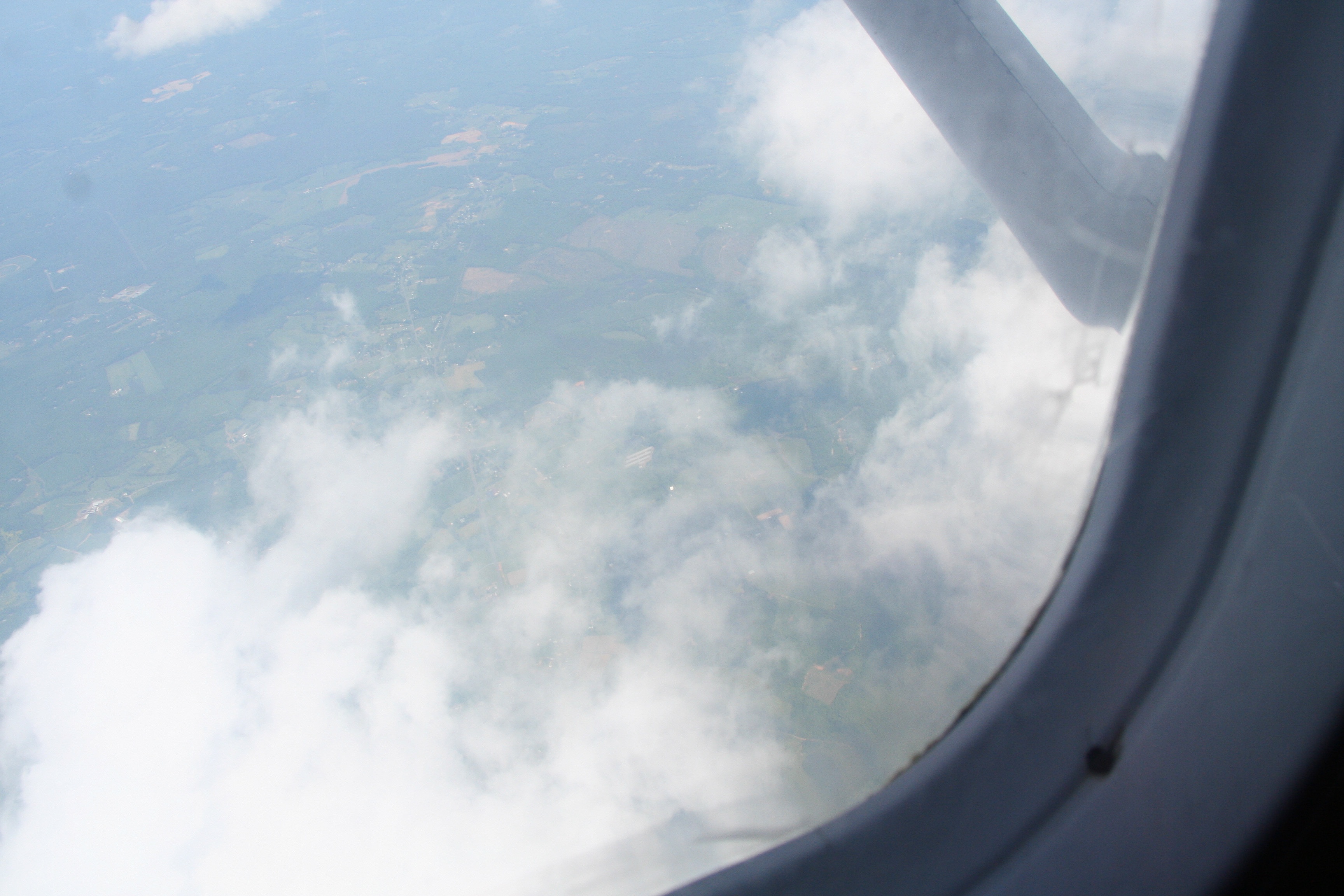
View out the airplane window

Rear View of a Hot-rod Red Ford Pickup at an Auto Show in Locust Grove VA

Rear View, Yellow Ford Model A

back view, cannon ae-1.

side view cannon ae-1.
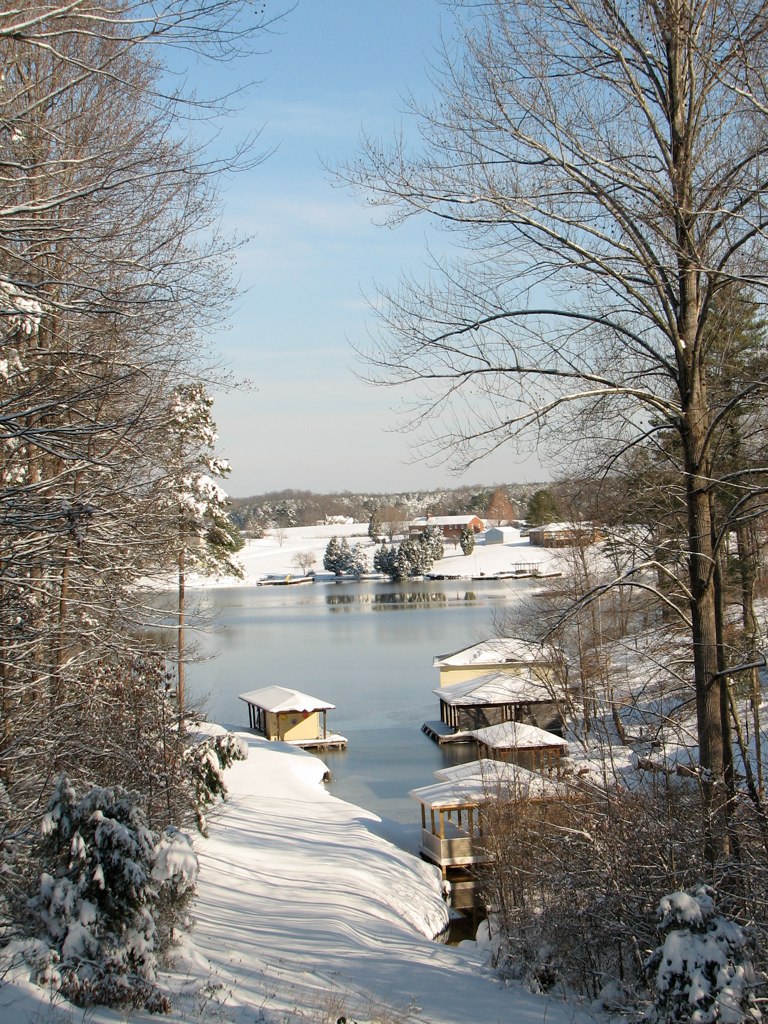
Lake View
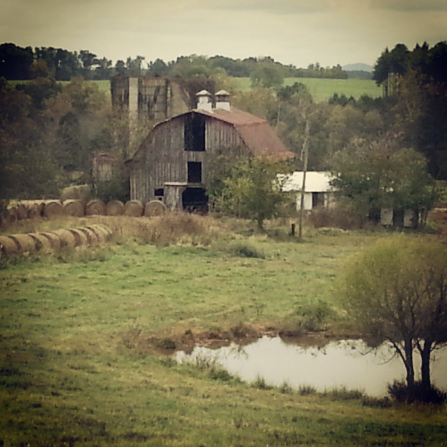
Gloomy country days
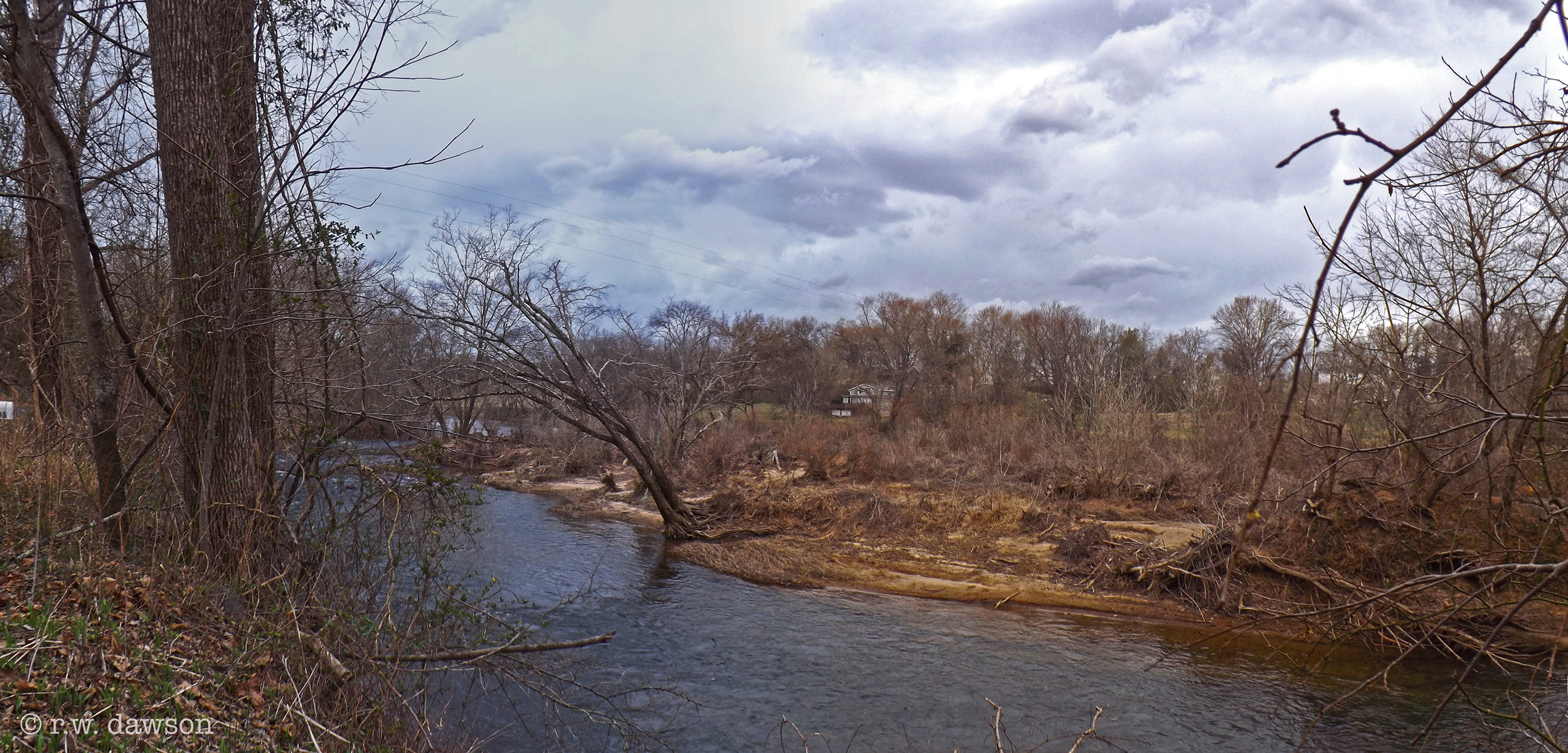
Rapidan River
IMG_0085.jpg

Orange County, Va.
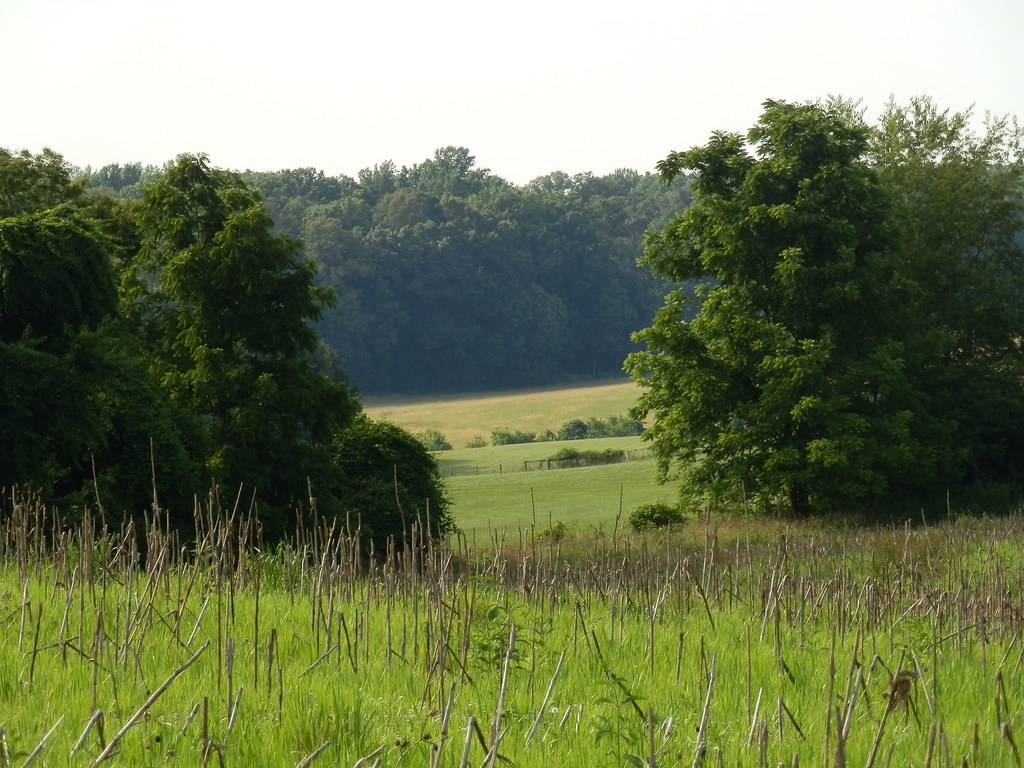
Floodplain Soy Field
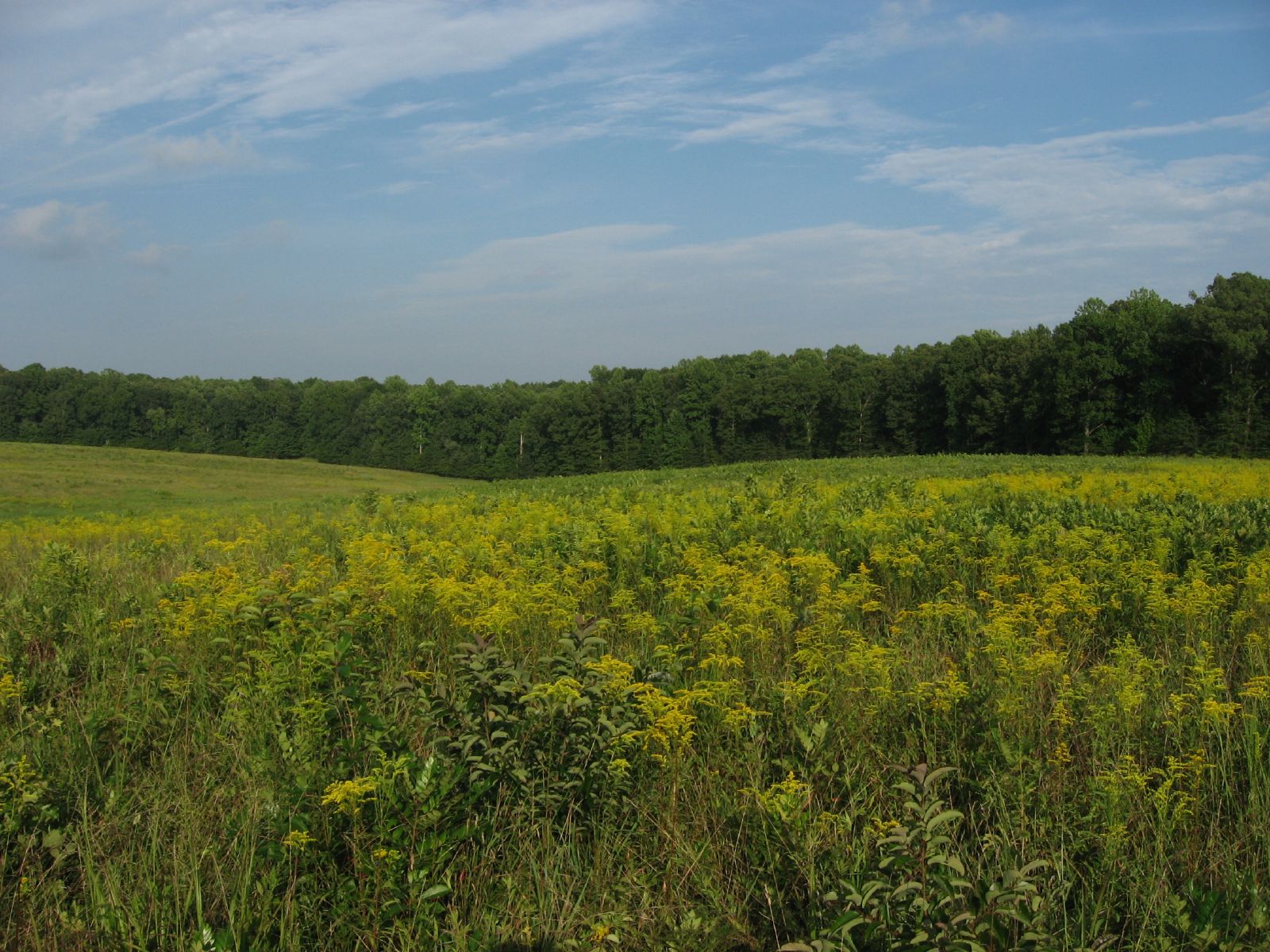
Saunders Field, Battle of the Wilderness, Fredericksburg and Spotsylvania National Military Park, Virginia
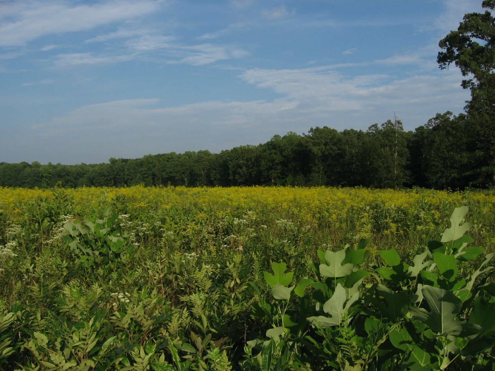
Saunders Field, Battle of the Wilderness, Fredericksburg and Spotsylvania National Military Park, Virginia
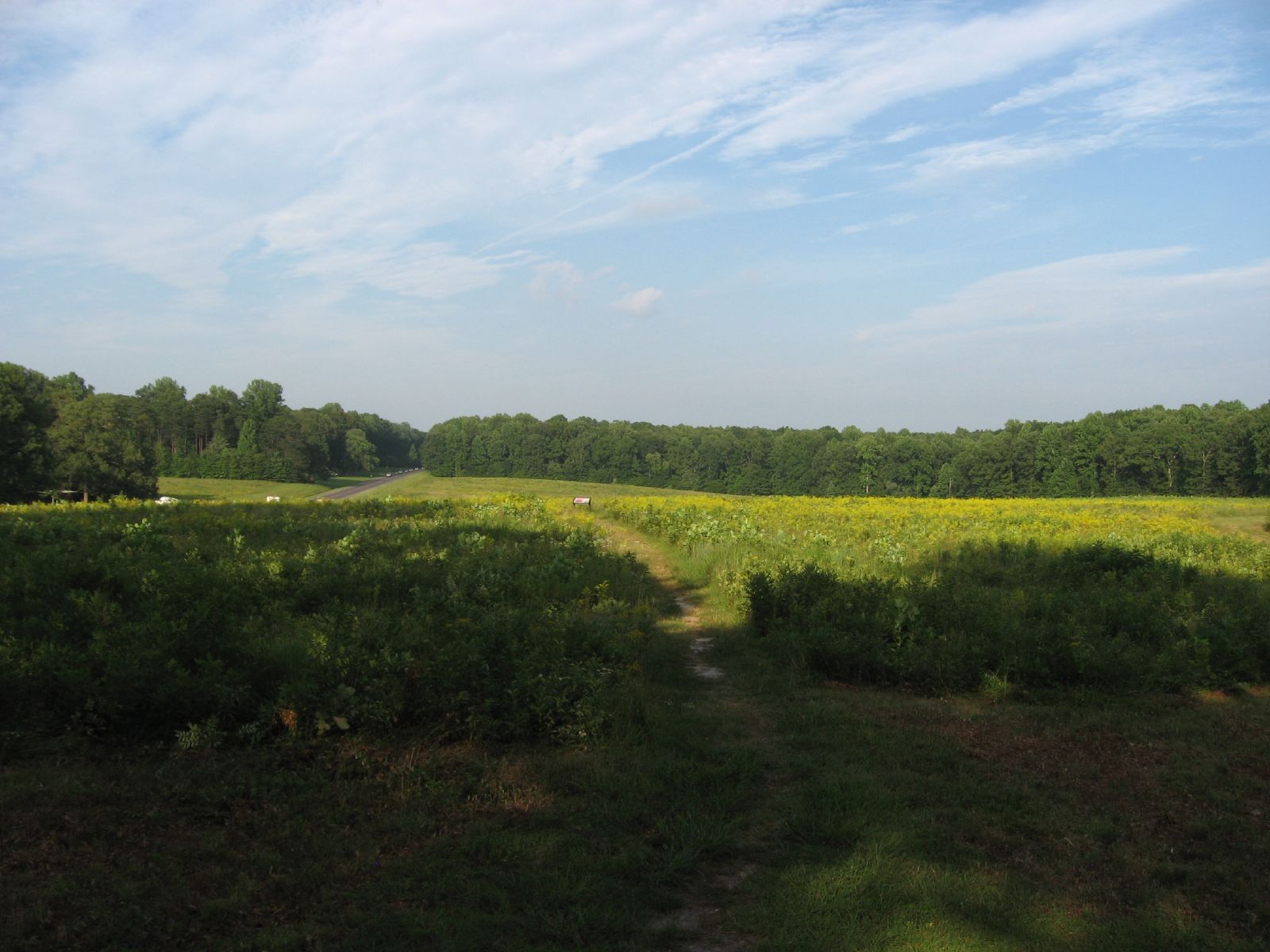
Saunders Field, Battle of the Wilderness, Fredericksburg and Spotsylvania National Military Park, Virginia

Orange County, Va.
Hoops and Linda
Blue Ridge Mountains
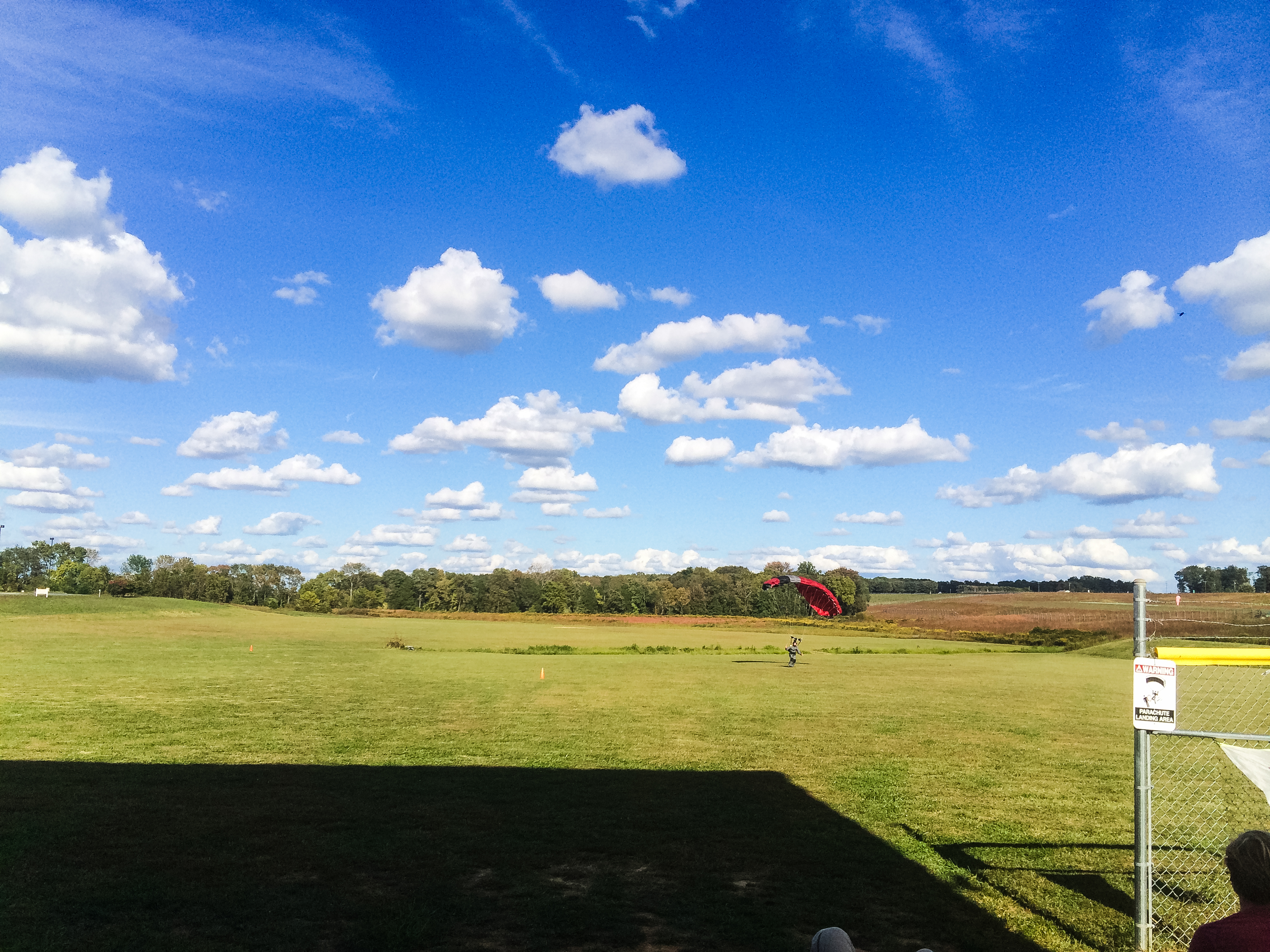
Blue sky, reflected

Hills of Virginia
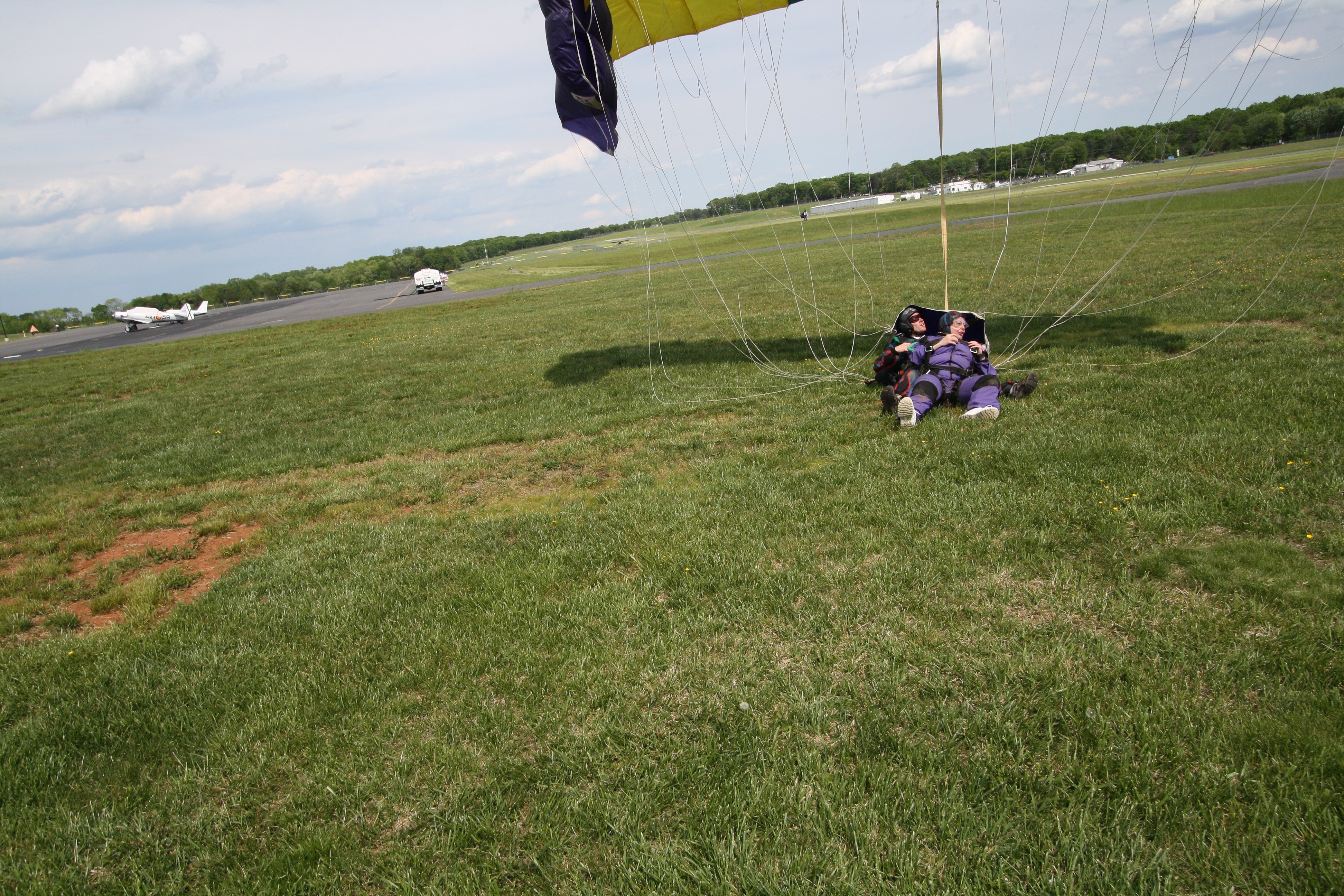
Reynolds and Lauri
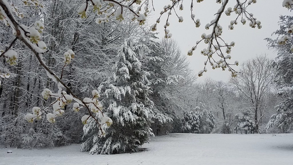
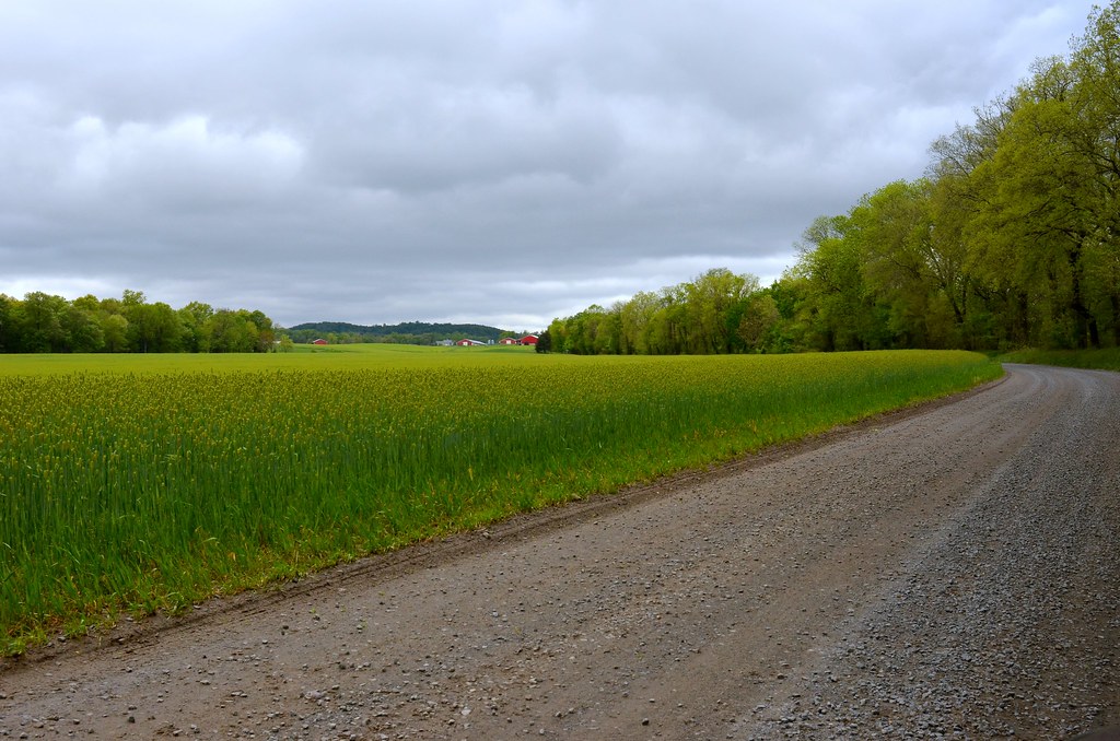
winter and spring collide
The Wilderness NB, VA

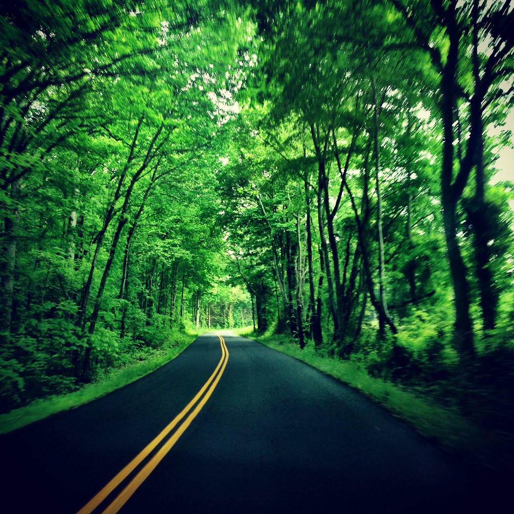
the country way of life.

_IGP7753.jpg
Heading back to the land of high speed Internet!
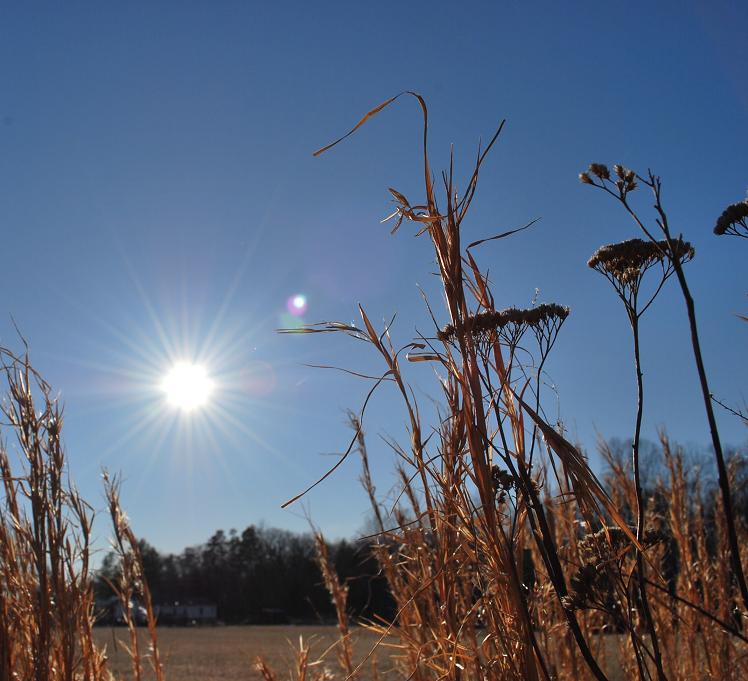
shining sun.
Topographic Map of Tower Rd, Unionville, VA, USA
Find elevation by address:

Places near Tower Rd, Unionville, VA, USA:
Orange County
Constitution Hwy, Unionville, VA, USA
Old Office Road
Old Office Road
Old Office Road
29482 Hicks Rd
4, VA, USA
3, VA, USA
7551 Moormont Rd
Thornhill Rd, Orange, VA, USA
Locust Grove
2, VA, USA
Post Oak Rd, Spotsylvania Courthouse, VA, USA
Post Oak Rd, Spotsylvania Courthouse, VA, USA
W Catharpin Rd, Spotsylvania Courthouse, VA, USA
Orange Plank Rd, Locust Grove, VA, USA
9641 Nottoway Ln
11205 Preswick Ln
11300 Longstreet Dr
11607 Longstreet Dr
Recent Searches:
- Elevation of Shibuya Scramble Crossing, 21 Udagawacho, Shibuya City, Tokyo -, Japan
- Elevation of Jadagoniai, Kaunas District Municipality, Lithuania
- Elevation of Pagonija rock, Kranto 7-oji g. 8"N, Kaunas, Lithuania
- Elevation of Co Rd 87, Jamestown, CO, USA
- Elevation of Tenjo, Cundinamarca, Colombia
- Elevation of Côte-des-Neiges, Montreal, QC H4A 3J6, Canada
- Elevation of Bobcat Dr, Helena, MT, USA
- Elevation of Zu den Ihlowbergen, Althüttendorf, Germany
- Elevation of Badaber, Peshawar, Khyber Pakhtunkhwa, Pakistan
- Elevation of SE Heron Loop, Lincoln City, OR, USA