Elevation of Old Office Road, Old Office Rd, Culpeper, VA, USA

Location: United States > Virginia > Culpeper County > Culpeper >

Longitude: -77.903194

Latitude: 38.317572

Elevation: 133m / 436feet

Barometric Pressure: 100KPa

Elevation Map:

elevation map of Old Office Road, Old Office Rd, Culpeper, VA, USA

Satellite Map:

Satellite map of Old Office Road, Old Office Rd, Culpeper, VA, USA

Related Photos:

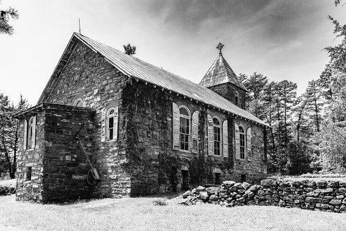
2018yip d7100 church oldbuilding stonearchitecture stonewall stonebuilding gothic woodenshutters historic abandoned virginia clouds landscape colorphotography tacphotography tomclarknet 1000views
same building, different view
stonebuilding church steeple metalroof rustyroof virginiaarchitecture oldstructure oldbuilding history historic d7100 2018yip
same building, different view
ford modela virginia va truck locustgrovevirginia locustgrove orangecountyvirginia autoshow goodtimecruisein may 2017
Rear View, Yellow Ford Model A
pakistan sky colour heritage weather fort royal mode lahore 40d sajjadphotoarts gettyimagespakistanq12012
an other view lahore fort lahore.
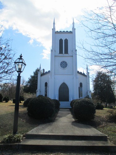
waddellmemorialpresbyterianchurch church rapidan orangecounty virginia
Front View of Waddell Memorial Presbyterian Church
hotrod virginia va truck fender locustgrovevirginia locustgrove orangecountyvirginia autoshow goodtimecruisein may 2017
Rear View of a Hot-rod Red Ford Pickup at an Auto Show in Locust Grove VA
virginia rivers americancivilwar amtrakviews
The Rapidan River in Virginia
square squareformat iphoneography instagramapp uploaded:by=instagram foursquare:venue=4e3ae65152b1b09cb6884de4
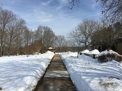
Grounds of Library of Congress Packard Campus in Culpeper, Va March 25, 2013
uploaded:by=flickrmobile flickriosapp:filter=nofilter
Library of Congress Packard Campus Snow March 6, 2013
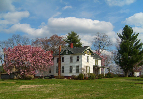
house color home beautiful virginia oldhouse va springtime oldhome lignum culpepercounty
House with Spring Foliage, Lignum, Culpeper County, VA.
building architecture virginia wooden rustic va frame mitchells grocery generalstore countrystore
Mitchells Grocery
Waud sketch location
aerialphotograph
View out the airplane window
virginia civilwar thewilderness battleofthewilderness ellwoodmanor
Ellwood Manor
trees winter white snow virginia spring april easterweekend girlfriendshouse rhoadesville orangecountyva
the bottom of the can
aerialphotograph
View out the airplane window
civilwar va photostitch ellwood locustgrove
20080517 56 Ellwood Wilderness View Stitch
pool campus reflecting virginia culpeper archive loc libraryofcongress packard
View of the Reflecting Pool
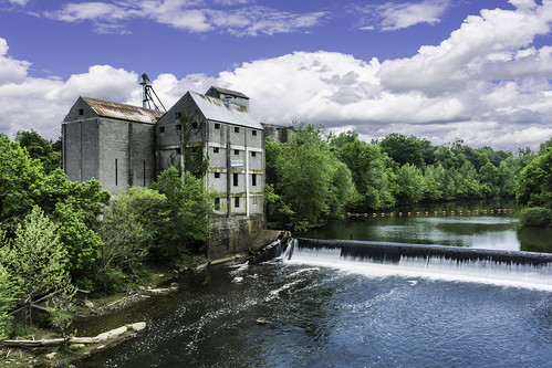
2018yip rapidanriver virginia rapidanvirgina gristmill abandonedfactory scenery landscape landscapephotography tacphotography tomclarknet
historic Mill on the Rapidan River, Virginia
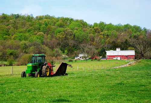
spring rural farm house barn field tractor johndeere virginia culpeppercounty colour digital pentax km f3556 1855 mm lens landscape
Springtime on Cedar Mountain
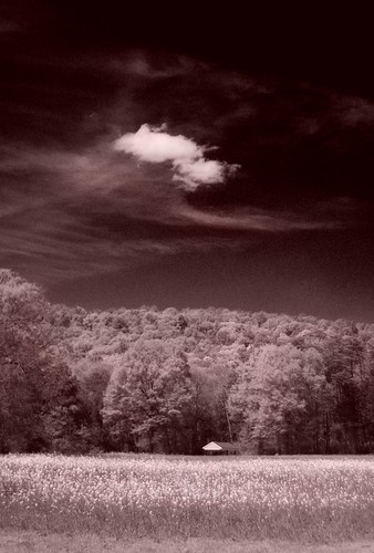
cloud sky landscape field meadow rural sountryside virginia cedarmountain culpeppercounty pentax km digital monochrome infrared pentaxaf250mmlens redfilter pentaxart
Cloud Over Cedar Mountain
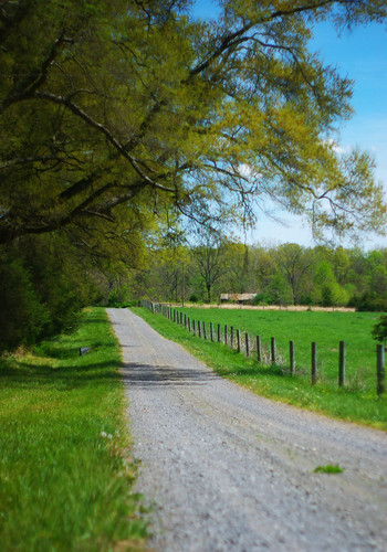
landscape road rural countryside farm virginia cedarmountain culpeppercounty pentax km colour digital spring pentaxaf250mmlens prime
The Road Home
storm rural farm cedarmountain virginia clouds colour contrast trees pentax km pentaxdaf35561855mmallens digital pentaxart landscape culpeppercounty dark moody
Storm - Cedar Mountain
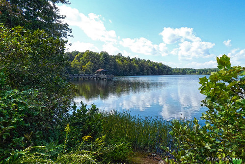
2016 water lake lakeorange virginia va usa landscape park
Lake Orange
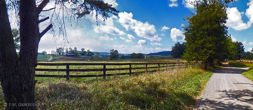
panorama landscape farm fence orangecounty virginia va usa road dirtroad rural 2016
The Fence Line
germanna gcc vccs virginia va usa locust grove snow storm campus education academic
Germanna campuses after last weekend's snow storm.
uploaded:by=flickrmobile flickriosapp:filter=nofilter
Library of Congress Packard Campus Snow March 6, 2013
orange virginia wilderness battleofthewilderness
Saunders Field, Battle of the Wilderness, Fredericksburg and Spotsylvania National Military Park, Virginia
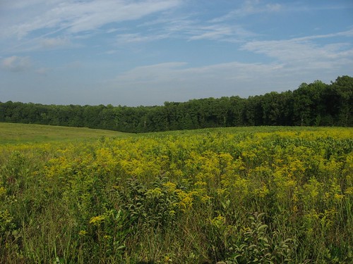
orange virginia wilderness battleofthewilderness
Saunders Field, Battle of the Wilderness, Fredericksburg and Spotsylvania National Military Park, Virginia
orange virginia wilderness battleofthewilderness
Saunders Field, Battle of the Wilderness, Fredericksburg and Spotsylvania National Military Park, Virginia
orange virginia wilderness battleofthewilderness
Saunders Field, Battle of the Wilderness, Fredericksburg and Spotsylvania National Military Park, Virginia
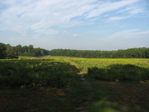
orangecounty virginia rapidanriver water river landscape rainyday
Rapidan River
orange virginia wilderness battleofthewilderness
Saunders Field, Battle of the Wilderness, Fredericksburg and Spotsylvania National Military Park, Virginia
virginia unitedstates environment geocity geo:country=unitedstates camera:make=canon exif:make=canon geostate exif:lens=ef2470mmf28lusm exif:aperture=ƒ56 exif:isospeed=400 exif:focallength=46mm camera:model=canoneos5dmarkiv exif:model=canoneos5dmarkiv aerial transportation nonprofits southwings
Orange County, Va.
nonprofits southwings transportation virginia aerial environment unitedstates camera:model=canoneos5dmarkiv exif:lens=ef70200mmf28lusm camera:make=canon geocity geostate exif:focallength=70mm exif:aperture=ƒ56 geo:country=unitedstates exif:isospeed=800 exif:model=canoneos5dmarkiv exif:make=canon
Forest in Culpeper County, Va.
virginia unitedstates environment geocity geo:country=unitedstates camera:make=canon exif:make=canon geostate exif:lens=ef70200mmf28lusm exif:focallength=200mm exif:aperture=ƒ56 exif:isospeed=400 camera:model=canoneos5dmarkiv exif:model=canoneos5dmarkiv aerial transportation nonprofits southwings
Culpeper County, Va.
orangecounty va virginia field farm farmanimal cattle sunset
The Sentry